The best road cycling routes around Thorne Moors
4.5
(59)
2,187
riders
152
rides
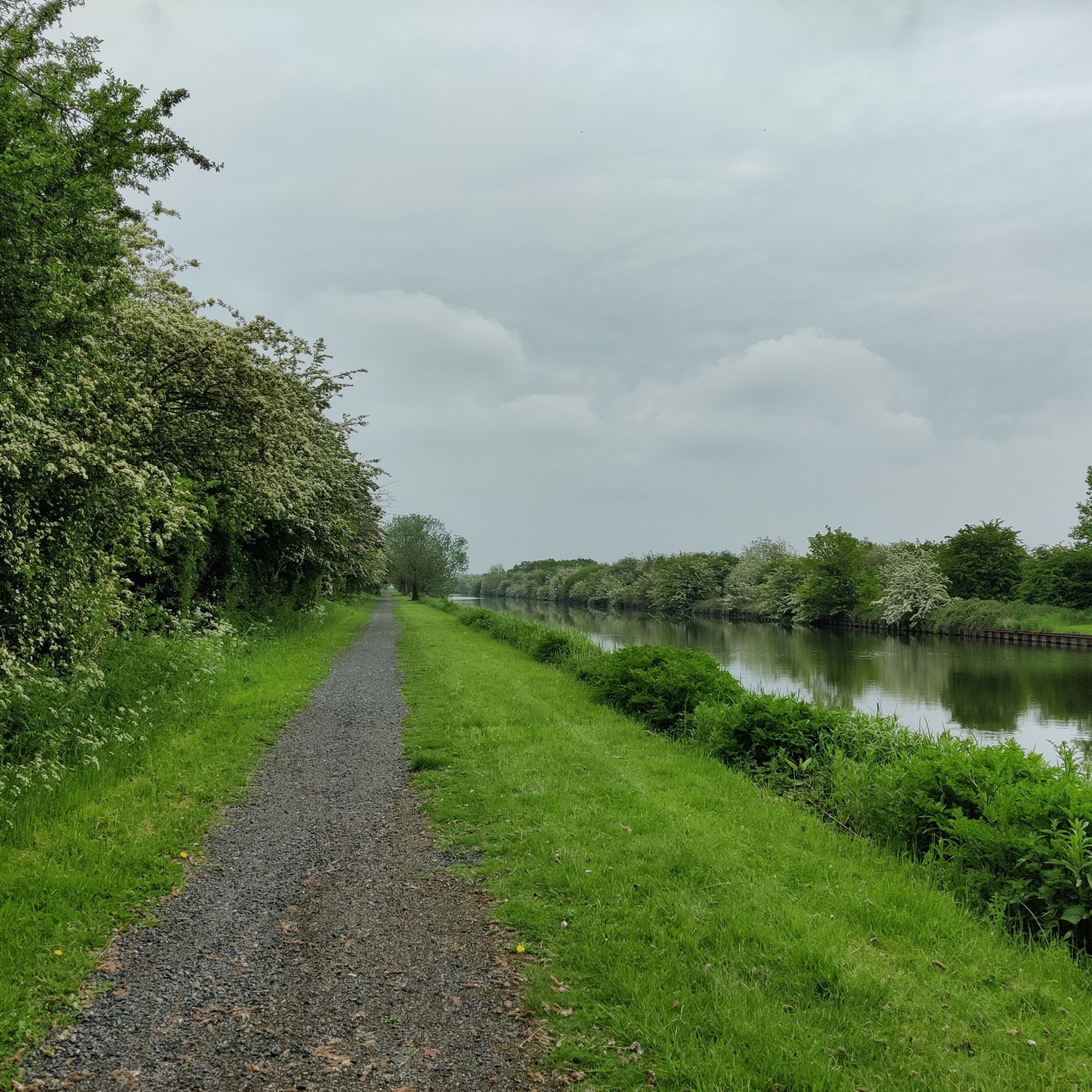
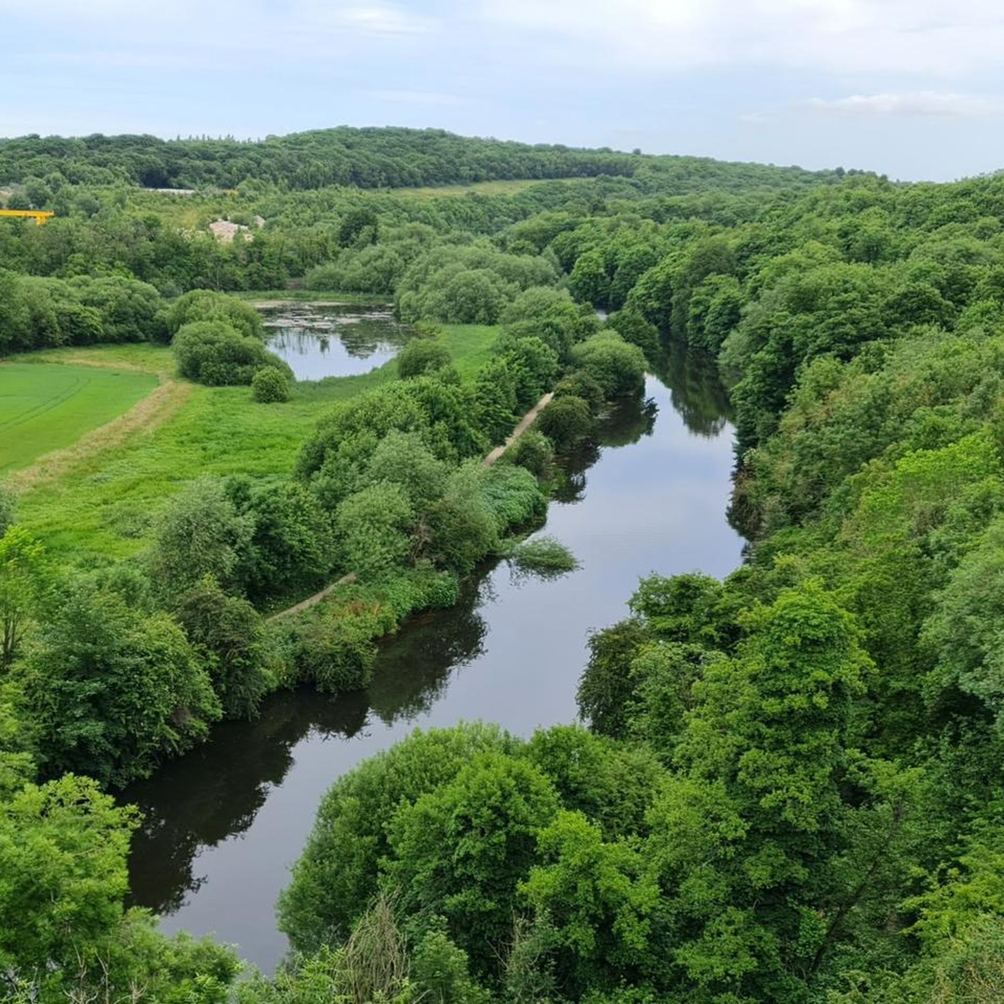
Road cycling routes around Thorne Moors are characterized by a predominantly flat topography, making the region accessible for various fitness levels. This area, part of the Humberhead Peatlands National Nature Reserve, features expansive lowland raised peat bog, a network of drains, and former railway lines that provide largely well-paved and easy-to-ride paths. The landscape offers tranquil rides with open views across the unique peatland environment.
Best road cycling routes around Thorne Moors
- The most popular road cycling route is Althorpe…
Last updated: September 28, 2026
11
riders
23.8km
00:56
30m
30m
Easy road ride. Great for any fitness level. Mostly well-paved surfaces and easy to ride.
5.0
(1)
28
riders
87.1km
03:28
140m
140m
Moderate road ride. Good fitness required. Some segments of this route may be unpaved and difficult to ride.

5.0
(2)
32
riders
Moderate road ride. Good fitness required. Mostly well-paved surfaces and easy to ride.
5.0
(2)
32
riders
Moderate road ride. Good fitness required. Mostly well-paved surfaces and easy to ride.
3.0
(1)
30
riders
61.5km
02:36
70m
70m
Moderate road ride. Good fitness required. Mostly well-paved surfaces and easy to ride.
Get access to more routes and recommendations from other explorers.
Already have an account?
Our route recommendations are based on thousands of hikes, rides, and runs completed by other people on komoot.
Start today with a free account
Your next adventure awaits.
Tips from the Community

Impassable passage for touring bikes! What were the English thinking??!!
0
0


This bridge over the M18 is blocked by concrete barriers and the only way is to climb over. other than that it's still rideable.
2
0

Kirkhouse Green Lift Bridge is a minor waterways place on the Sheffield and South Yorkshire Navigation (New Junction Canal) between Sykehouse Lift Bridge (Sykehouse village is about a mile to the east.) (2 miles and 4¾ furlongs and 1 lock to the northeast) and Bramwith Junction (Junction of Sheffield and South Yorkshire Navigation main line with New Junction Canal) (1 mile and 7½ furlongs to the southwest). https://canalplan.uk/place/5kba
1
0
This swing bridge crosses the New Junction Canal
1
0
Liftbridge over the New Junction Canal. Sykehouse village is about a mile to the east.
1
0
Although there is some evidence of a chapel having existed at the end of the 12th century, the earliest definite reference is of a licence is dated 1425.
1
0
This lovely rest area is located in Sykehouse, right on the Trans Pennine Trail.
1
0
Frequently Asked Questions
How many road cycling routes are available in Thorne Moors?
Thorne Moors offers a wide selection of road cycling routes, with over 150 tours available on komoot. These routes cater to various skill levels, including 58 easy, 92 moderate, and 9 difficult options, ensuring there's a ride for everyone.
What kind of terrain can I expect when road cycling in Thorne Moors?
Road cycling in Thorne Moors is characterized by its predominantly flat topography, making it accessible for various fitness levels. You'll ride through expansive lowland raised peat bog landscapes, often following well-paved paths that utilize former railway lines and a network of drains. The terrain is generally easy to ride, offering tranquil experiences with open views across the unique peatland environment.
Are there any circular road cycling routes in Thorne Moors?
Yes, Thorne Moors features several excellent circular road cycling routes. For example, the The Old Butchers Café – Thorne Peel Hill loop from Thorne North is a moderate 51.8 km route that allows you to start and finish in the same location, offering a convenient and scenic ride.
What are the best times of year to go road cycling in Thorne Moors?
Thorne Moors can be enjoyed for road cycling throughout much of the year. Spring and summer offer pleasant weather for exploring the open landscapes and observing wildlife. Autumn provides unique colors, while winter cycling is possible, though conditions may be colder and wetter. The flat terrain generally makes it accessible in various seasons, but checking local weather forecasts is always recommended.
What kind of wildlife can I expect to see while cycling in Thorne Moors?
Thorne Moors is renowned for its abundant wildlife. As you cycle, you might spot various bird species such as Marsh Harriers and cuckoos, especially during breeding seasons. The area is also home to roe deer and adders. It's an internationally important site for breeding nightjars and boasts a rich diversity of invertebrate fauna, making it a great spot for nature observation.
Are there any cafes or pubs along the road cycling routes in Thorne Moors?
Yes, several routes incorporate stops at local cafes and pubs. For instance, the Iron Horse Equestrian Café – The Old Butchers Café loop from Thorne North is a popular moderate route that includes stops at two cafes, perfect for a mid-ride refreshment. Many routes connect to nearby villages where you can find additional options for food and drink.
What do other road cyclists enjoy most about Thorne Moors?
The komoot community highly rates road cycling in Thorne Moors, with an average score of 4.5 stars from over 40 reviews. Cyclists often praise the tranquil environment, the predominantly flat and easy-to-ride paths, and the unique open peatland landscapes. The sense of openness and connection with nature, along with the well-maintained routes, are frequently highlighted as key attractions.
Are there any specific landmarks or points of interest to look out for?
While the primary attraction is the natural environment of the Humberhead Peatlands National Nature Reserve itself, you can also explore points of interest such as the picturesque Thorne Lock on the Sheffield and South Yorkshire Navigation canal. The landscape also features remnants of its industrial heritage, including former narrow-gauge railway lines and canals used for peat extraction, which add a historical layer to your ride.
Is Thorne Moors suitable for family-friendly road cycling?
Yes, Thorne Moors is well-suited for family-friendly road cycling due to its generally flat topography and a network of largely well-paved and easy-to-ride paths. The relative lack of significant climbs makes it accessible for leisure cyclists and families looking for a less strenuous experience. Many routes offer a peaceful environment away from heavy traffic.
Can I access Thorne Moors by public transport for cycling?
Yes, the village of Moorends, which acts as a common starting point for exploring the moors, can be accessed by bus from Thorne. This provides a convenient option for cyclists wishing to use public transport to reach the area and begin their rides.
Are there options for longer road cycling routes in Thorne Moors?
Absolutely. Thorne Moors offers routes for various distances. For a longer ride, consider the Althorpe Bridge – Café in Epworth loop from Thorne North, which spans 87.2 km and typically takes around 3 hours 25 minutes to complete. This route provides extensive views across the flat, open landscape.
What is the difficulty level of road cycling routes in Thorne Moors?
The road cycling routes in Thorne Moors are predominantly moderate, with 92 out of 159 routes falling into this category. There are also 58 easy routes, perfect for beginners or those seeking a relaxed ride, and 9 more challenging options for experienced cyclists. The flat terrain generally keeps the difficulty manageable.
Most popular routes around Thorne Moors

Get inspired with the komoot mobile app


Explore more
Browse the best Road cycling routes in other regions.
