The best walks and hikes around Ajalvir
4.5
(278)
2,043
hikers
153
hikes
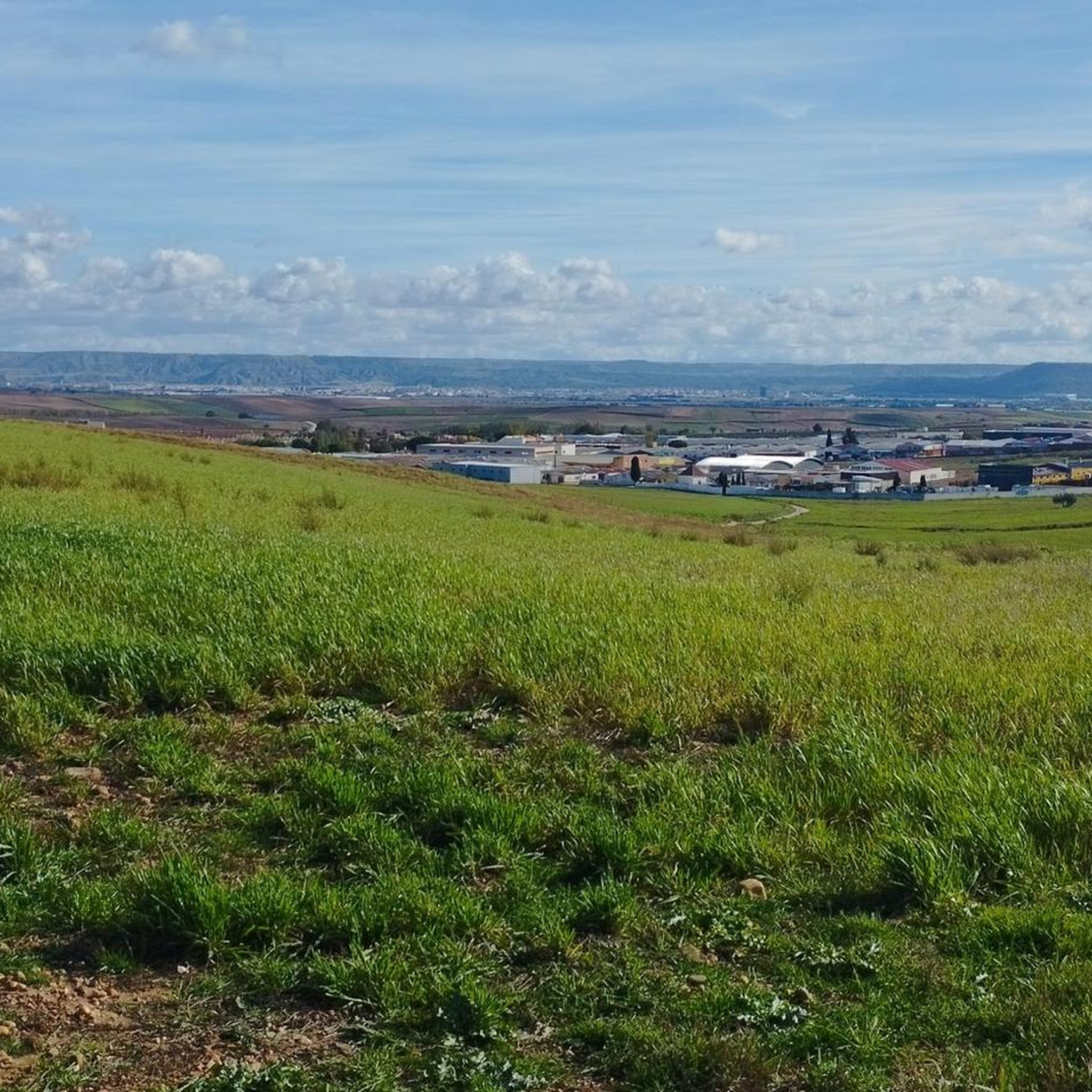
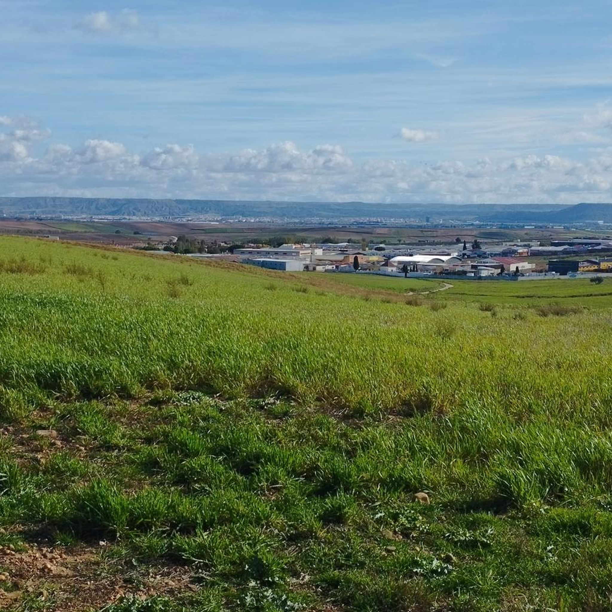
Hiking around Ajalvir offers access to a diverse natural landscape characterized by rolling plains and agricultural fields, providing tranquil settings for outdoor pursuits. The region features natural trails ideal for walking and cycling, with surrounding countryside known for birdwatching. Its strategic location also allows for exploration of larger natural parks like the Sierra de Guadarrama, which includes mountains, forests, and granite formations.
Best hiking trails around Ajalvir
- The most popular hiking route is Valle de Arriba y la Dehesa de…
Last updated: May 20, 2026
3.7
(3)
12
hikers
6.52km
01:48
110m
110m
Easy hike. Great for any fitness level. Easily-accessible paths. Suitable for all skill levels.
5.0
(1)
19
hikers
Moderate hike. Good fitness required. Mostly accessible paths. Sure-footedness required.

Sign up for free
5.0
(2)
7
hikers
11.3km
03:05
160m
170m
Moderate hike. Good fitness required. Easily-accessible paths. Suitable for all skill levels.
5.0
(1)
14
hikers
5.86km
01:33
50m
50m
Easy hike. Great for any fitness level. Easily-accessible paths. Suitable for all skill levels.
4.5
(8)
11
hikers
5.54km
01:31
90m
90m
Easy hike. Great for any fitness level. Easily-accessible paths. Suitable for all skill levels.
Get access to more routes and recommendations from other explorers.
Sign up for free
Already have an account?
Our route recommendations are based on thousands of hikes, rides, and runs completed by other people on komoot.
Start today with a free account
Your next adventure awaits.
Login or Signup
Tips from the Community

When you reach the top of the climb, go to the end of the road to get to La Casa
0
0

It is advisable to follow the route and finish in Torres de la Alameda
0
0


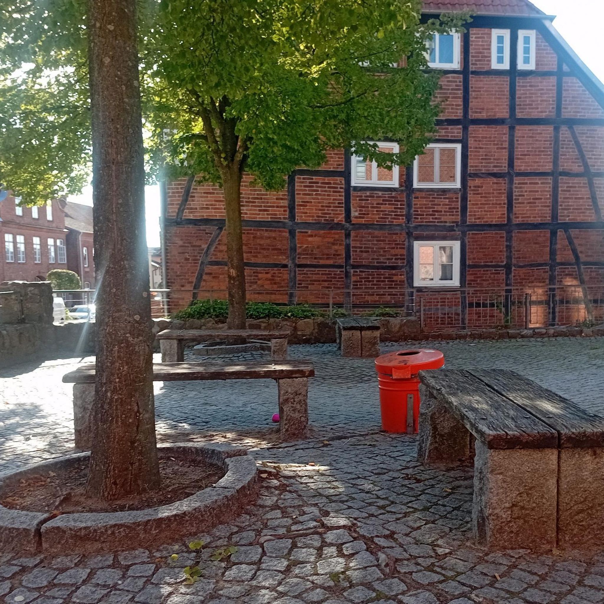
ideal place for lunch benches, shade and
1
0

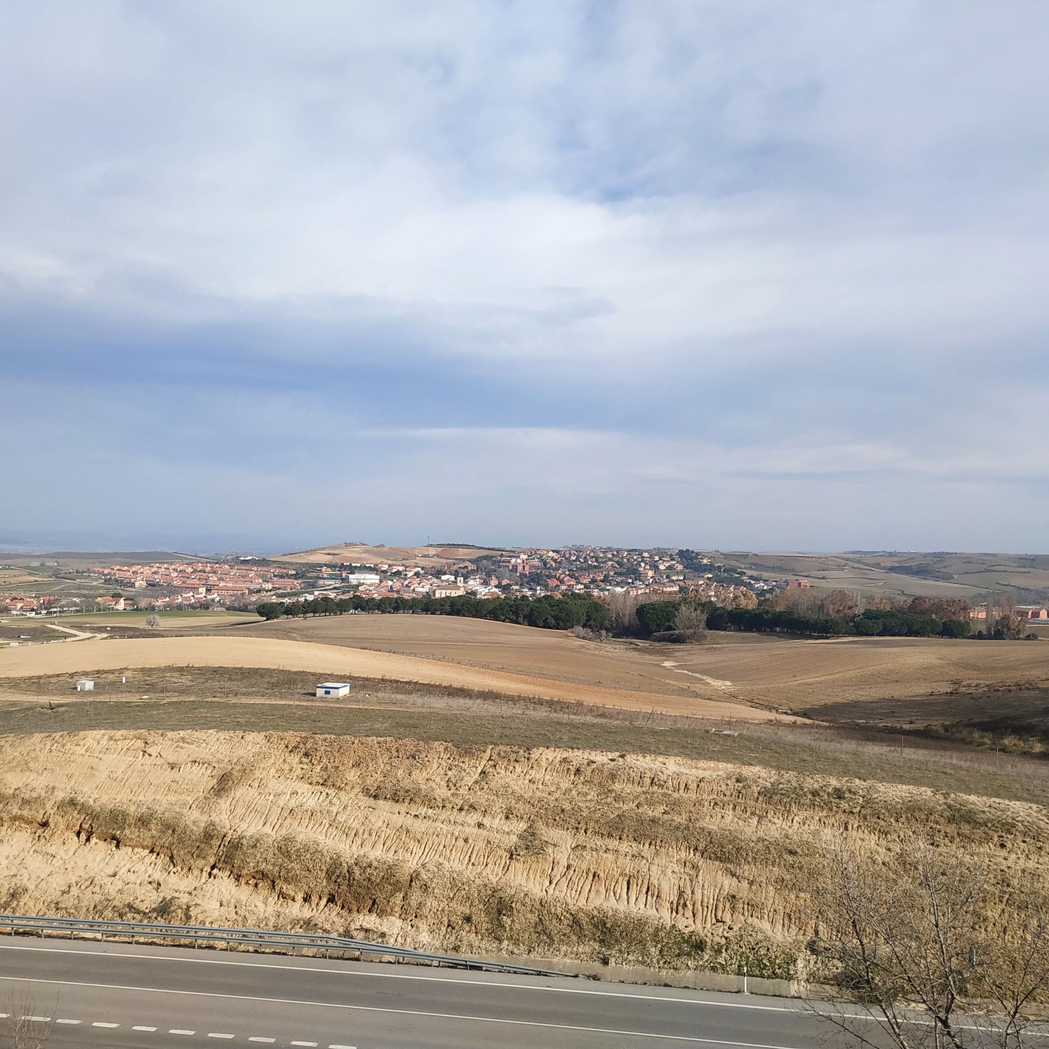
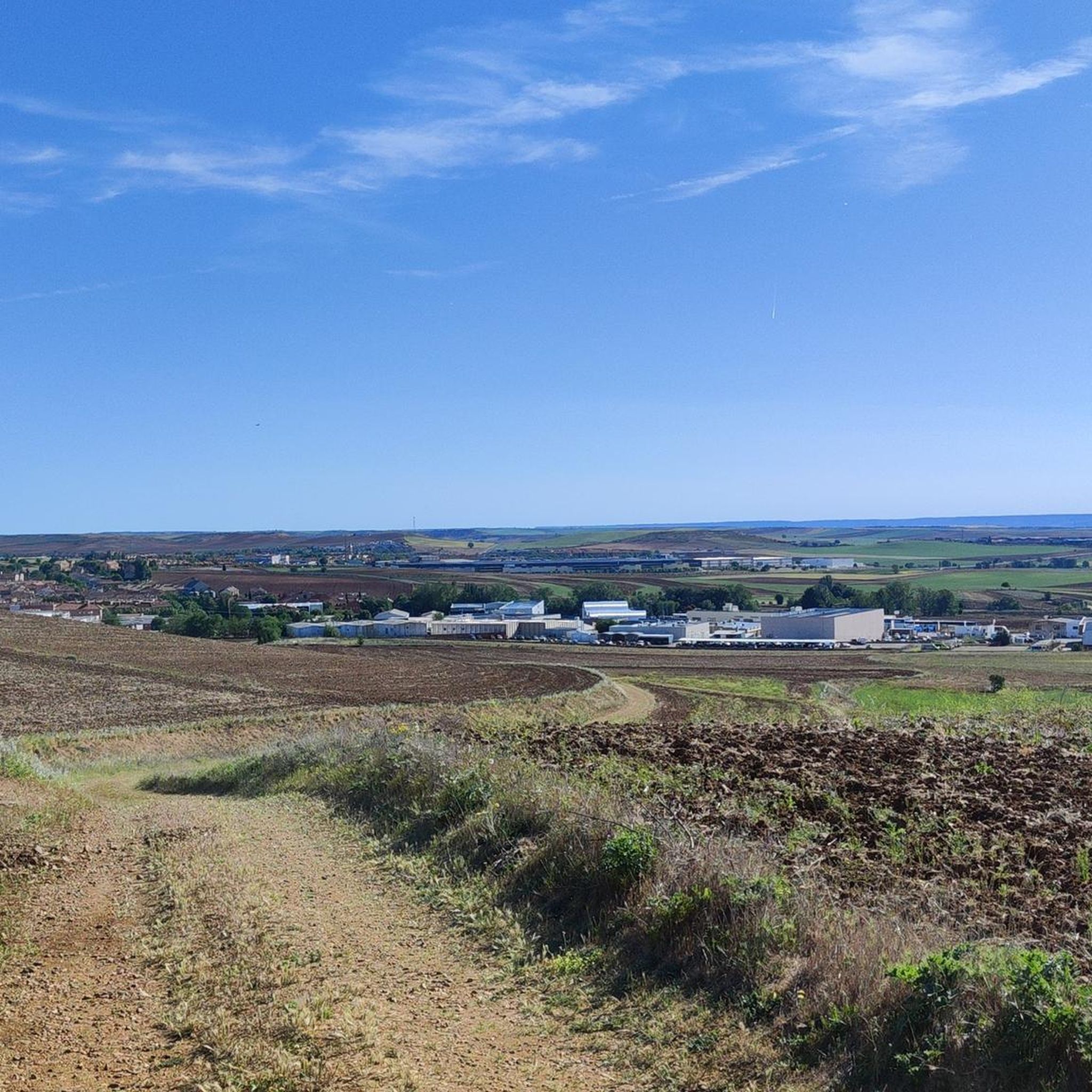
THE San Juan del Viso hill watches over its entire surroundings from above, especially towards Alcalá de Henares and Madrid.
0
0
This Plain, inhabited by the ancient Combouto Celtibera and later by the Romans of the Primitiva Cómlutum of the Cerro de San Juan del Viso, is a privileged place from the point of view of surveillance and defense. Its views are very wide and good.
0
0

Bridge that remains motionless over the Henares River that later joins the Jarama. From it you can get good and different views!
0
0

Cerro El Viso or San Juan del Viso or Zulema offers us views of the southern part of Torreón de Ardoz and adjacent to Alcalá de Henares.
2
0
Frequently Asked Questions
How many hiking trails are available around Ajalvir?
There are over 150 hiking routes around Ajalvir, offering a diverse range of experiences. These include 81 easy trails, 73 moderate paths, and a few more challenging options for experienced hikers.
What is the best time of year to go hiking in Ajalvir?
Ajalvir's climate makes it suitable for hiking for much of the year. Spring and autumn generally offer the most pleasant temperatures for exploring the rolling plains and agricultural fields. Summers can be hot, while winters are typically mild, though higher elevations in nearby natural parks like the Sierra de Guadarrama may experience colder conditions.
What kind of terrain and natural features can I expect on hikes near Ajalvir?
Hikes directly around Ajalvir feature tranquil rolling plains and agricultural fields, ideal for birdwatching. For more varied landscapes, the region's proximity to the Sierra de Guadarrama National Park means you can find rugged mountains, extensive pine forests, granite rock formations, and high mountain grasslands within a short drive. Some trails follow river paths or pass by stone bridges.
Are there easy hiking trails suitable for beginners or families in Ajalvir?
Yes, Ajalvir offers many easy trails perfect for beginners and families. For example, the Valle de Arriba y la Dehesa de Cobeña – circular by Cerro Alarnillos is an easy 4.0-mile (6.5 km) route that explores valleys and traditional dehesa landscapes, typically taking less than two hours to complete.
Are there any circular hiking routes available?
Many of the hiking routes around Ajalvir are circular, allowing you to start and end at the same point. An example is the Lagunas de Cobeña – Lagunas de Cobeña loop from Algete, a moderate 7.0-mile (11.3 km) trail that takes you through the scenic Lagunas de Cobeña area.
What do other hikers say about the trails in Ajalvir?
The hiking routes in Ajalvir are highly regarded by the komoot community, with an average score of 4.6 stars from over 240 reviews. Hikers often praise the tranquil settings, diverse landscapes, and the opportunity to explore both local plains and nearby natural parks.
Can I bring my dog on the hiking trails around Ajalvir?
Many trails in the Ajalvir area are dog-friendly, especially those through open plains and agricultural fields. However, it's always recommended to keep your dog on a leash, especially when passing through farmlands or areas with wildlife, and to check specific regulations for any protected natural parks you plan to visit, such as the Sierra de Guadarrama.
Are there any interesting landmarks or attractions to see near the hiking trails?
Yes, beyond the natural beauty, there are several points of interest. You can visit the historic Viñuelas Stream Bridge or explore the Ruins of Alcalá la Vieja Fortress, which offers a historical perspective within a natural setting. For a unique experience, the Parque Europa Monuments in Torrejón de Ardoz provides a vast green space with replicas of European landmarks.
Are there any challenging hikes for experienced hikers?
While Ajalvir itself features mostly easy to moderate trails, its strategic location provides access to more challenging terrain. The nearby Sierra de Guadarrama National Park offers numerous trails with significant elevation gains and rugged landscapes, suitable for experienced hikers seeking a greater challenge.
Is public transport available to reach hiking trailheads near Ajalvir?
Ajalvir is well-connected by local bus services within the Community of Madrid, which can help you reach the town itself. For specific trailheads outside the immediate town, especially those in larger natural parks, public transport options may be more limited, and a car might be more convenient for direct access.
Where can I find parking for hiking trails around Ajalvir?
Parking is generally available in and around Ajalvir, particularly near the town center or at designated starting points for local trails. For routes that venture further afield or into natural parks, look for specific parking areas often provided at visitor centers or popular trailheads. Always ensure you park responsibly and do not obstruct access.
Are there any viewpoints offering expansive views on hikes near Ajalvir?
Yes, some trails offer excellent panoramic views of the surrounding plains and distant mountains. The View from Cerro de El Viso – View of Torres de la Alameda loop from Soto del Henares is a moderate route specifically known for its expansive views from Cerro de El Viso across the surrounding plains.
Most popular attractions around Ajalvir

Get inspired with the komoot mobile app


Explore more
Browse the best Hikes in other regions.
