The best walks and hikes around Campillo De Ranas
4.7
(219)
1,685
hikers
22
hikes
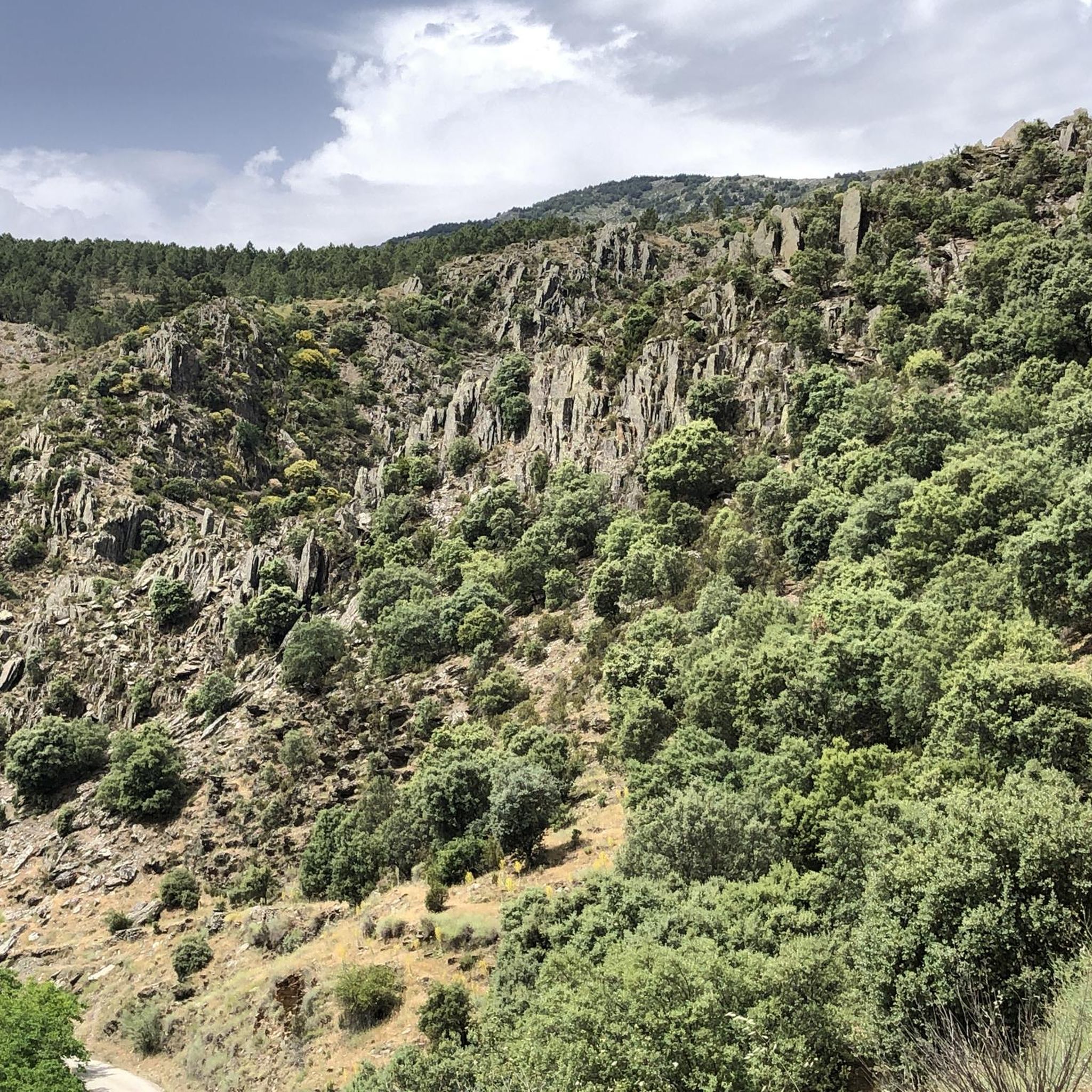
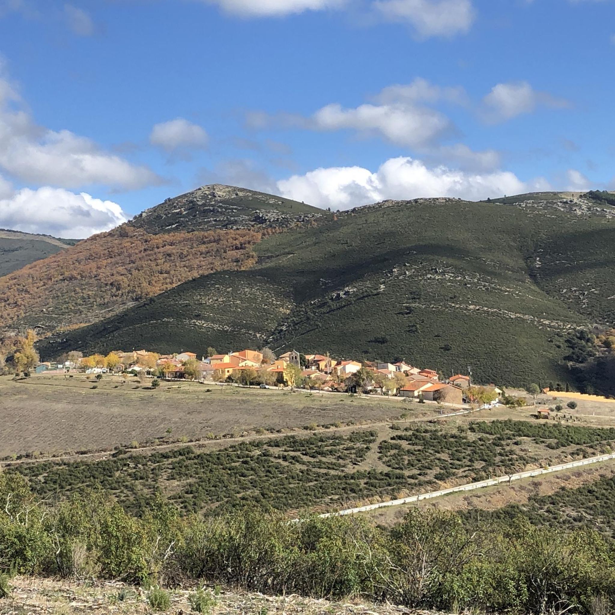
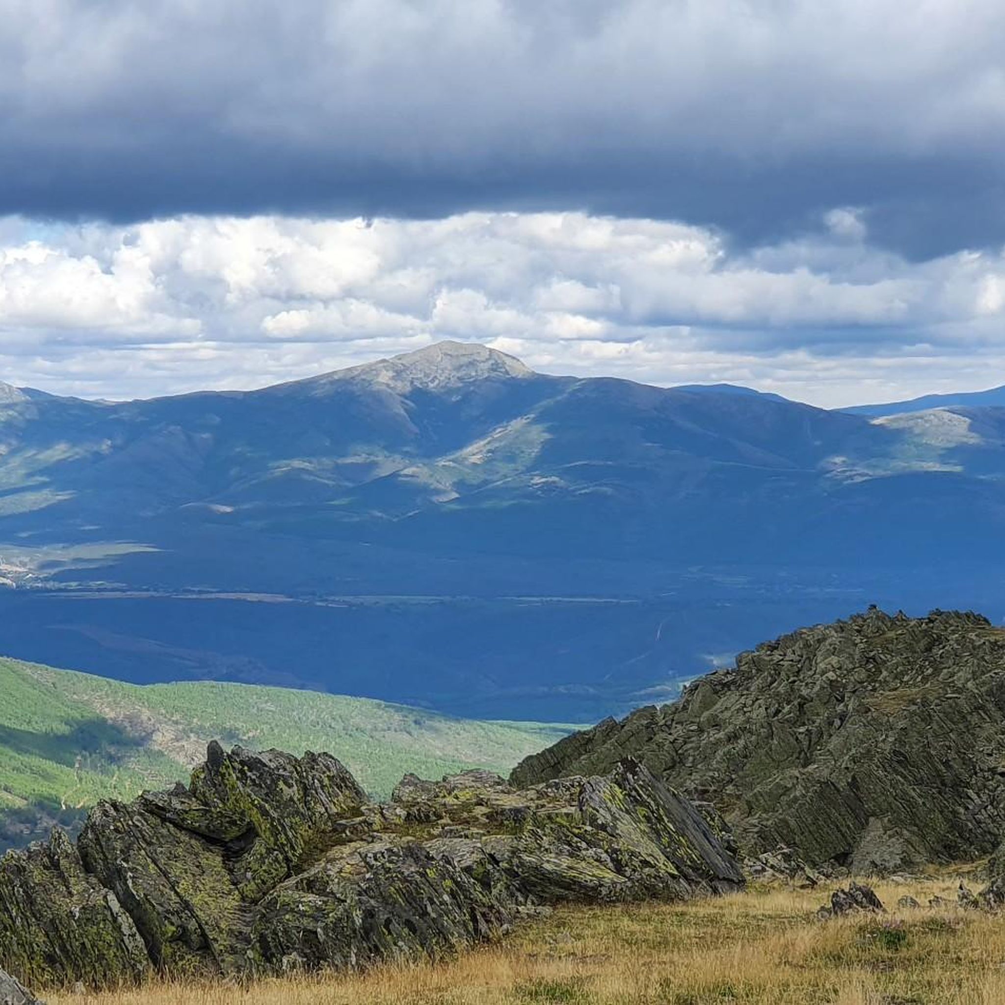
Hiking around Campillo De Ranas offers access to the Sierra Norte de Guadalajara Natural Park, characterized by rugged mountainous terrain, diverse forests, and distinctive "black architecture" villages. The landscape features prominent peaks like Pico Ocejón, river valleys, and unique beech forests. Hikers can explore varied terrain, from challenging mountain ascents to more moderate trails along streams and through woodlands. The area is defined by its slate-built villages and natural features such as waterfalls and ancient forests.
Best hiking trails around Campillo De Ranas
- The most popular hiking route is Aljibe Waterfall and Trillos Bridge - circular via the Aljibe Pools (PR-GU 09), a 6.8 miles (11.0 km) trail that takes 3 hours 28 minutes to complete. This moderate route explores river landscapes and notable waterfalls.
- Another top favourite among local hikers is Cabeza de Ranas — circular by the villages of the Black Architecture of Guadalajara, a moderate 9.4 miles (15.1 km) path. This trail offers views of the region's unique slate architecture and surrounding natural park.
- Local hikers also love the Aljibe Waterfall – Roblelacasa loop from Campillo de Ranas, a 7.2 miles (11.6 km) trail leading through varied terrain to the Aljibe Waterfall, often completed in about 3 hours 23 minutes.
- Hiking around Campillo De Ranas is defined by its "black architecture" villages, the Sierra Norte de Guadalajara Natural Park, and ancient beech forests. The network offers options for different ability levels, from moderate loops to more challenging ascents.
- The routes in Campillo De Ranas are highly rated by the komoot community with an average score of 4.7 stars from over 200 reviews. More than 1800 hikers have used komoot to explore Campillo De Ranas's varied terrain.
Last updated: September 28, 2026
4.7
(3)
4
hikers
Moderate hike. Good fitness required. Mostly accessible paths. Sure-footedness required.
5.0
(1)
5
hikers
Moderate hike. Good fitness required. Mostly accessible paths. Sure-footedness required.

4.9
(21)
123
hikers
11.6km
03:23
290m
290m
Moderate hike. Good fitness required. Easily-accessible paths. Suitable for all skill levels.
4.7
(10)
118
hikers
7.04km
02:04
190m
190m
Moderate hike. Good fitness required. Easily-accessible paths. Suitable for all skill levels.
4.8
(13)
90
hikers
12.4km
03:49
380m
390m
Moderate hike. Good fitness required. Mostly accessible paths. Sure-footedness required.
Get access to more routes and recommendations from other explorers.
Already have an account?
Our route recommendations are based on thousands of hikes, rides, and runs completed by other people on komoot.
Start today with a free account
Your next adventure awaits.
Tips from the Community


Beautiful Village of Black Architecture in La Sierra Norte de Guadalajara.
0
0
Beautiful Black town in the north of Guadalajara, with a beautiful Black Church.
0
0

El Bacho is a town located within the municipality of Campillo de Ranas, in the province of Guadalajara. Although it's not one of the better-known districts like Campillejo, El Espinar, or Roblelacasa, it appears on maps as a small rural entity or area.
2
0
The route that passes through the Puente de los Trillos is known for its natural landscapes and traditional black architecture. It is an excellent option for hiking lovers looking to explore the Sierra Norte of Guadalajara.
4
0

beautiful village of the BLACK VILLAGES
3
0
Beautiful and touristy Black Town in the North of Guadalajara. Spectacular houses and good hospitality establishments.
1
0
Source of fresh water and stones to cross the Arroyo del Soto, already close to Campillo de Ranas.
1
0
Frequently Asked Questions
How many hiking trails are available around Campillo de Ranas?
There are over 19 hiking trails available around Campillo de Ranas, offering a diverse range of experiences. The majority are moderate, with a few more challenging options for experienced hikers.
What kind of terrain and difficulty can I expect on hikes near Campillo de Ranas?
The terrain varies significantly, from forested paths and river valleys to rugged mountainous ascents within the Sierra Norte de Guadalajara Natural Park. Most routes are classified as moderate, but you can also find challenging trails, particularly those leading to peaks like Pico Ocejón. The area is known for its distinctive 'black architecture' villages and natural features like waterfalls.
Are there any circular hiking routes starting from Campillo de Ranas?
Yes, there are several circular routes. A popular option is the Aljibe Waterfall and Trillos Bridge - circular via the Aljibe Pools (PR-GU 09), which is a moderate 11 km trail exploring river landscapes and waterfalls. Another is the Cabeza de Ranas — circular by the villages of the Black Architecture of Guadalajara, a 15.1 km path showcasing the region's unique slate architecture.
Can I find hikes that feature waterfalls near Campillo de Ranas?
Absolutely. The region is home to beautiful waterfalls and pools. You can explore routes like the Aljibe Waterfall – Roblelacasa loop from Campillo de Ranas, which leads directly to the Aljibe Waterfall. Other notable waterfalls in the area include the Despeñalagua Waterfall and Cañamar Waterfall.
What are some notable landmarks or viewpoints to see while hiking in the area?
Beyond the natural beauty, the region is famous for its 'black architecture' villages, built from dark slate. You can explore villages like Campillo de Ranas itself, or follow routes that pass through others like Valverde de los Arroyos. Prominent natural landmarks include Pico Ocejón, one of the highest peaks, and the Viewpoint of Fuente de las Ranas, offering spectacular views of the Sierra de Ayllón.
Are there any family-friendly hiking options around Campillo de Ranas?
While many routes are moderate, the varied terrain allows for shorter, less strenuous sections suitable for families. Look for trails that stick to river valleys or explore the charming villages, which often have gentler gradients. Always check the specific route details for distance and elevation to ensure it matches your family's capabilities.
Is Campillo de Ranas a good destination for dog-friendly hikes?
The natural park setting around Campillo de Ranas is generally welcoming for dogs, offering plenty of open spaces and trails. However, it's always advisable to keep dogs on a leash, especially in areas with wildlife or near livestock, and to check local regulations for specific trails or protected areas. Ensure you carry enough water for both yourself and your dog.
What is the best time of year to go hiking in Campillo de Ranas?
The region offers different charms throughout the year. Spring and autumn are generally ideal, with pleasant temperatures and vibrant landscapes – spring brings wildflowers, while autumn showcases the stunning colors of the beech forests. Summer can be warm, making early morning or late afternoon hikes preferable. Winter offers a unique, often snowy, experience, especially at higher elevations, but requires appropriate gear and caution.
Are there any challenging hikes for experienced trekkers?
Yes, for experienced trekkers, the ascent to Pico Ocejón (2049m) offers a rewarding challenge with spectacular views. Routes starting from Majaelrayo or Valverde de los Arroyos are popular for reaching the summit. Another difficult option is the Campillo de Ranas – Majaelrayo loop from Campillejo, a 17.8 km trail with significant elevation changes.
What do other hikers enjoy most about hiking in Campillo de Ranas?
The area is highly rated by the komoot community, with an average score of 4.7 stars from over 200 reviews. Hikers frequently praise the unique blend of natural beauty, including diverse forests and waterfalls, with the distinctive charm of the 'black architecture' villages. The variety of trails, from moderate loops to challenging mountain ascents, is also a highlight.
Are there any ancient forests or unique natural features to explore?
Yes, the region is home to some of Europe's southernmost beech forests, such as the Hayedo de Tejera Negra, which is a significant biodiversity treasure. The Senda de los Inmortales also winds through ancient trees, offering a captivating experience. The area is embraced by streams like Arroyo de Agua Fría and Arroyo del Soto, contributing to its picturesque scenery.
Where can I find parking when visiting Campillo de Ranas for hiking?
Campillo de Ranas, being a rural village, typically offers parking options within or at the outskirts of the village, serving as convenient starting points for many trails. For specific routes, it's always recommended to check the tour details on komoot, as some trailheads might have designated parking areas or require parking in nearby villages like Campillejo, from where routes like the Aljibe Waterfall – Trillos Bridge loop from Campillejo begin.
Most popular routes around Campillo De Ranas
Most popular attractions around Campillo De Ranas

Get inspired with the komoot mobile app


Explore more
Browse the best Hikes in other regions.
