The best walks and hikes around Lozoyuela-Navas-Sieteiglesias
4.7
(829)
4,823
hikers
249
hikes
Hiking around Lozoyuela-Navas-Sieteiglesias offers a diverse landscape characterized by mountainous terrain, dense forests, and open vistas. The region, situated in the Sierra de Guadarrama foothills, features a mix of challenging peaks and more accessible trails. Hikers can expect varied elevations, with routes often leading through pine and oak woodlands, past rock formations, and near reservoirs.
Best hiking trails around Lozoyuela-Navas-Sieteiglesias
- The most popular hiking route is PR-M 29: Garganta de los Montes to Canencia Loop, a 13.4 miles (21.6…
Last updated: August 5, 2026
1.0
(1)
2
hikers
21.6km
06:18
500m
500m
Hard hike. Very good fitness required. Mostly accessible paths. Sure-footedness required.
5.0
(2)
81
hikers
14.5km
05:38
660m
660m
Hard hike. Very good fitness required. Sure-footedness, sturdy shoes and alpine experience required.

Sign up for free
4.8
(14)
74
hikers
5.58km
02:12
290m
290m
Moderate hike. Good fitness required. Mostly accessible paths. Sure-footedness required.
4.7
(14)
64
hikers
11.1km
03:00
150m
150m
Moderate hike. Good fitness required. Easily-accessible paths. Suitable for all skill levels.
4.7
(14)
59
hikers
9.95km
02:43
140m
140m
Moderate hike. Good fitness required. Easily-accessible paths. Suitable for all skill levels.
Get access to more routes and recommendations from other explorers.
Sign up for free
Already have an account?
Our route recommendations are based on thousands of hikes, rides, and runs completed by other people on komoot.
Start today with a free account
Your next adventure awaits.
Login or Signup

Tips from the Community

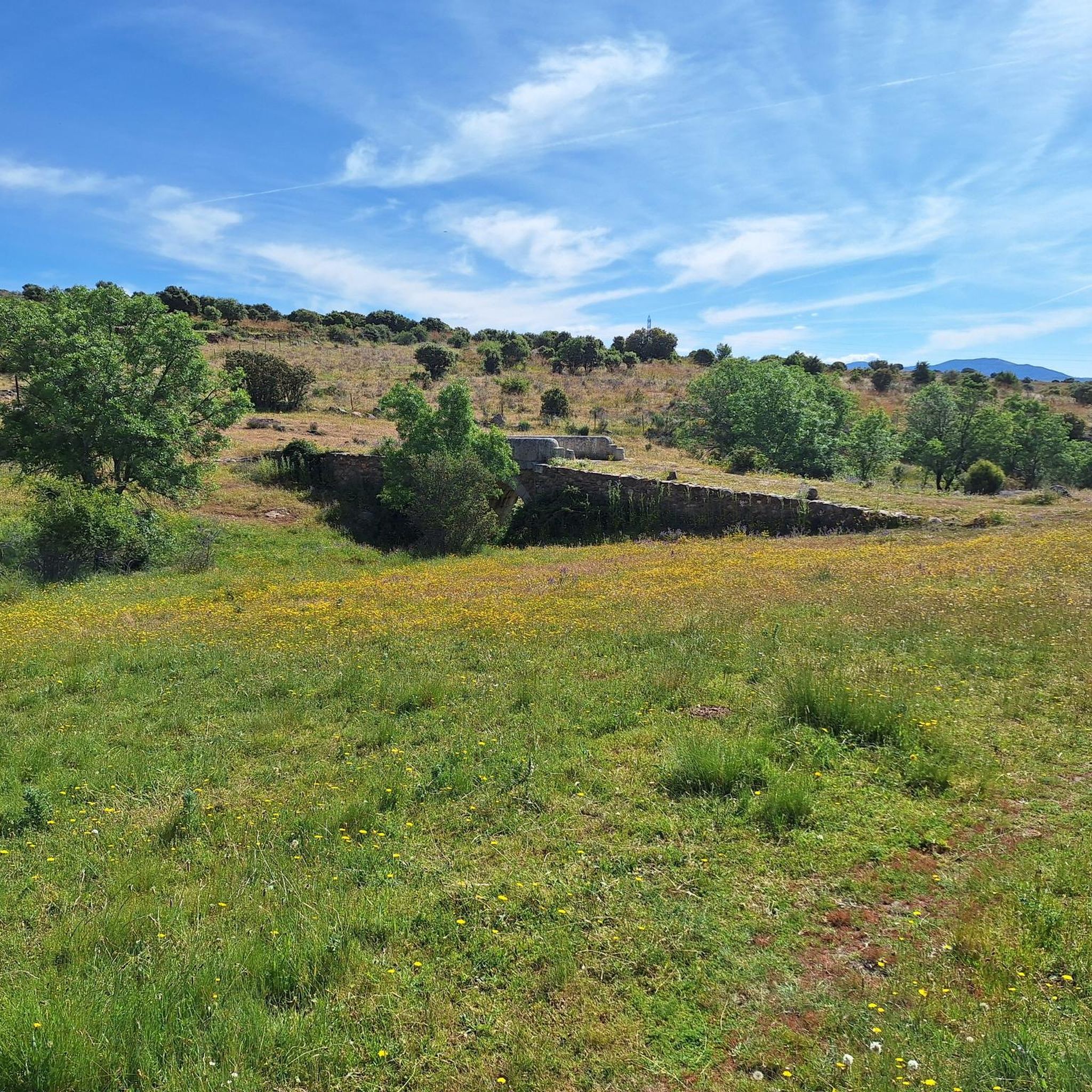
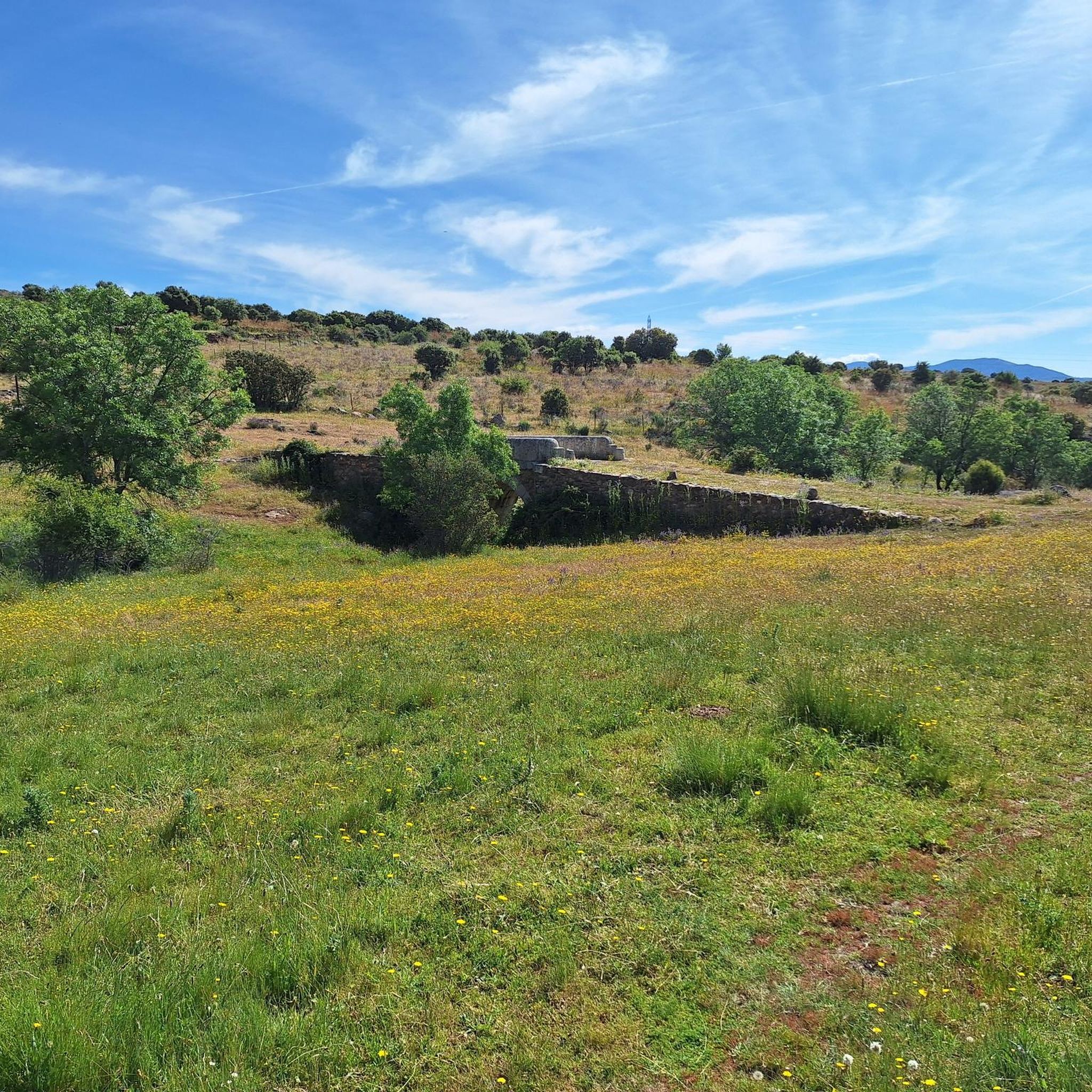
Please don't let anyone break it.
0
0

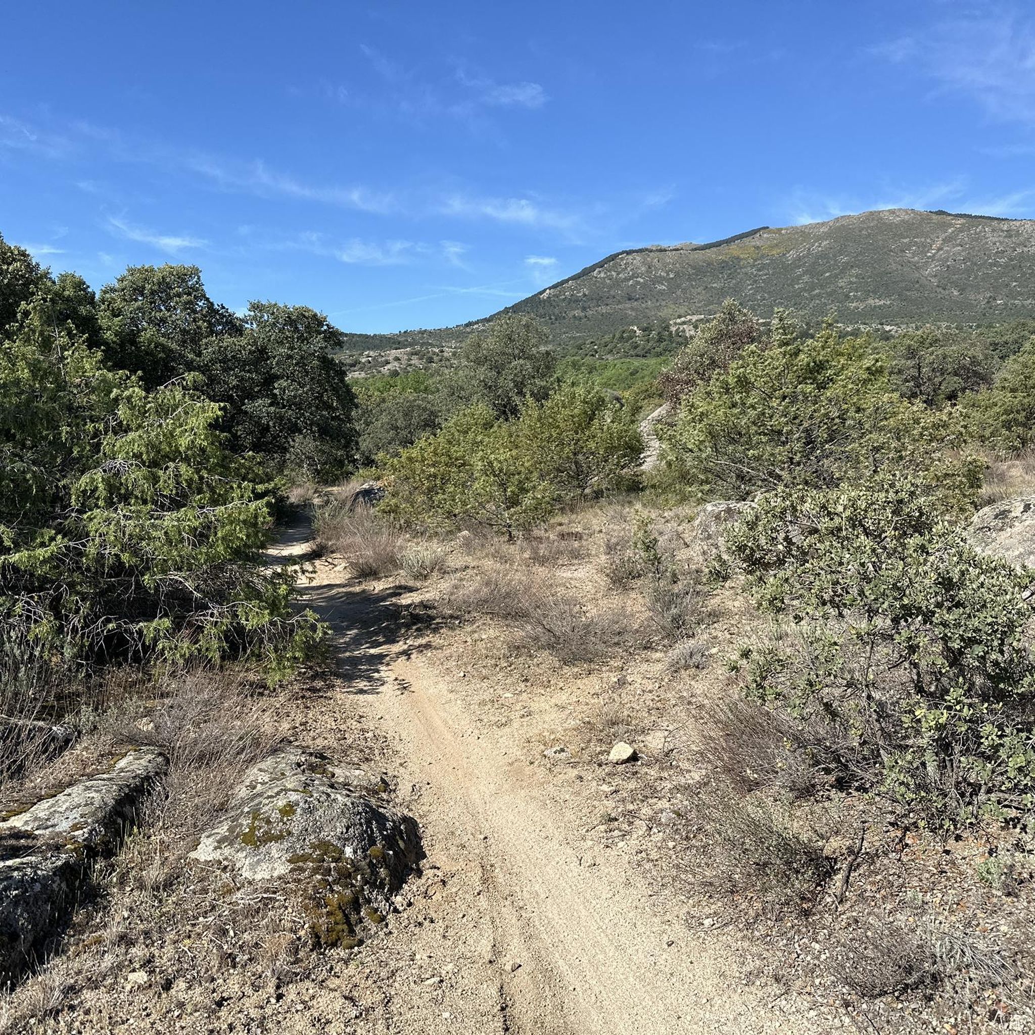
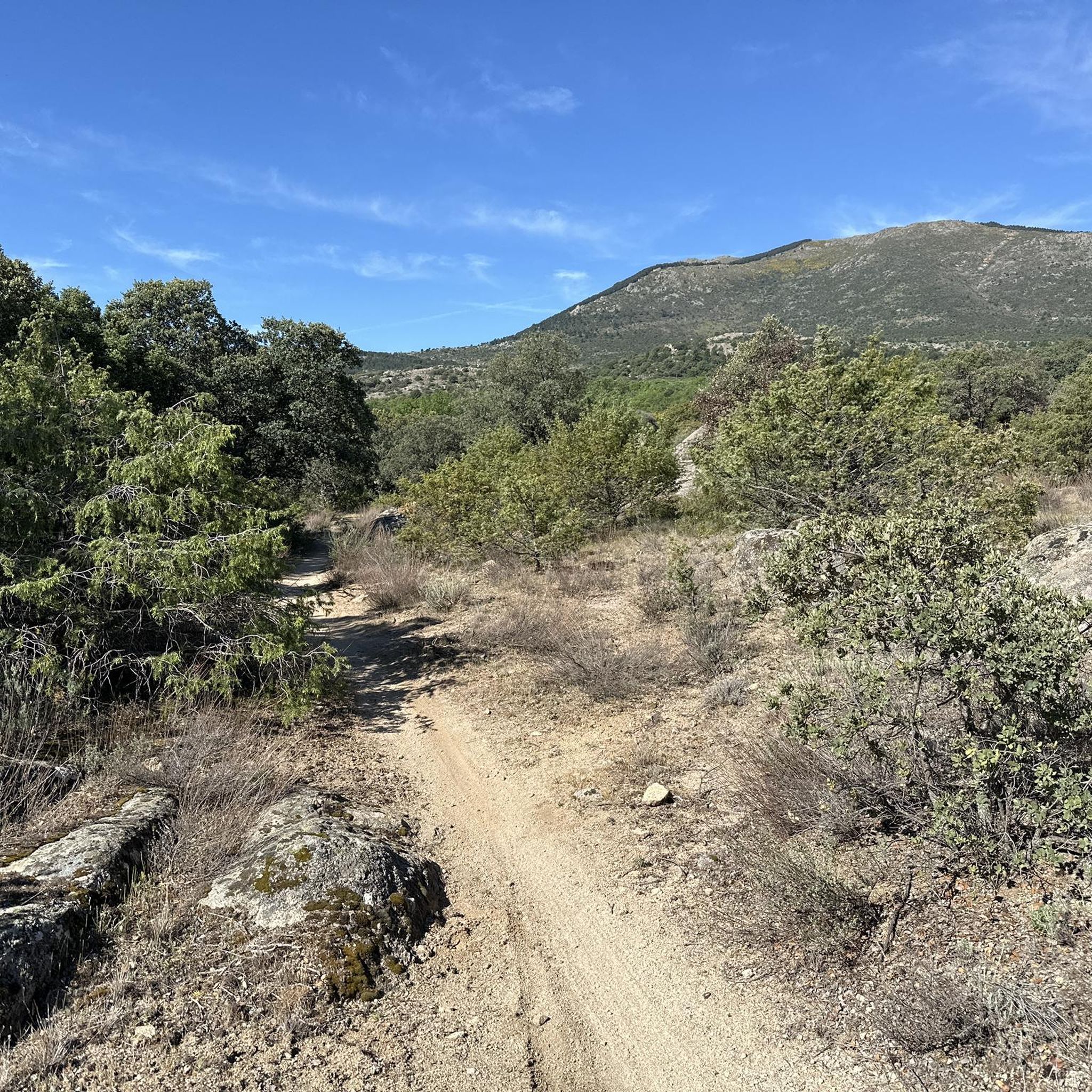
This small cross takes you to the convent, and then to the big climb of Cancho Gordo. How cool is that climb?
0
0
I never tire of going up to see the views
0
0
If you follow it you will reach the convent
0
0
Seeing these shapes up high is amazing.
0
0
Frequently Asked Questions
How many hiking trails are available in Lozoyuela-Navas-Sieteiglesias?
There are over 220 hiking trails in Lozoyuela-Navas-Sieteiglesias, catering to various skill levels. You'll find approximately 40 easy routes, nearly 150 moderate trails, and around 35 challenging options.
Are there easy or beginner-friendly hiking trails in the area?
Yes, Lozoyuela-Navas-Sieteiglesias offers over 40 easy hiking routes, perfect for beginners or those seeking a relaxed walk. These trails often traverse gentler terrain through forests and offer pleasant views without significant elevation gain.
Can I find family-friendly hiking options?
Many of the easier trails in the region are suitable for families. Look for routes that explore the dense forests or follow the shores of the reservoirs, providing shaded paths and interesting natural features for children to enjoy.
Are dogs allowed on the hiking trails in Lozoyuela-Navas-Sieteiglesias?
Generally, dogs are welcome on trails in the Sierra de Guadarrama foothills, but it's always recommended to keep them on a leash, especially in protected areas or when encountering wildlife or livestock. Always carry water for your dog and clean up after them.
Are there any circular hiking routes?
Yes, many routes in the region are designed as loops, allowing you to start and end at the same point. For example, the PR-M 29: Garganta de los Montes to Canencia Loop is a popular circular option, navigating through mountain passes and forested areas.
What are some challenging trails for experienced hikers?
For experienced hikers seeking a challenge, routes like the Pico de la Miel – Cancho Gordo (1,563 m) loop from La Cabrera offer significant elevation gain and expansive views. Another demanding option is the Puerto del Medio Celemín – Mondalindo Summit loop from Valdemanco, which leads through mountainous terrain to a summit.
What is the best time of year to hike in Lozoyuela-Navas-Sieteiglesias?
Spring and autumn are generally the best times for hiking, offering mild temperatures and vibrant landscapes. Spring brings wildflowers, while autumn showcases beautiful fall foliage. Summer can be hot, so early morning or late afternoon hikes are advisable. Winter hiking is possible, but higher elevations may have snow and require appropriate gear.
Where can I park when hiking in the area?
Parking is typically available near trailheads in the villages of Lozoyuela, Navas de Buitrago, and Sieteiglesias, as well as at popular starting points for specific routes. It's advisable to arrive early, especially on weekends, as spots can fill up quickly.
Are there any hikes with scenic viewpoints?
Absolutely. Many trails in the region ascend to prominent peaks or mountain passes, offering panoramic views of the Sierra de Guadarrama. The Cancho de la Cabeza Summit is a notable viewpoint, providing expansive vistas of the surrounding landscape and reservoirs.
What interesting natural landmarks can I see along the trails?
The region is rich in natural landmarks. You can explore mountain passes like Canencia Pass or Puerto del Medio Celemín. The El Villar Reservoir and Gorge offers stunning water features, and you might even encounter unique trees like the Yew of the Trail.
What do other hikers enjoy most about hiking in Lozoyuela-Navas-Sieteiglesias?
The area is highly rated by the komoot community, with an average score of 4.7 stars from over 700 reviews. Reviewers often praise the diverse landscape, the challenging mountain ascents, the tranquility of the forest paths, and the beautiful reservoir views.
Are there any trails that pass by reservoirs or offer water views?
Yes, the region is known for its reservoirs. The El Berrueco – El Atazar Reservoir loop from El Berrueco is a moderate trail that offers excellent views of the El Atazar Reservoir. Many other routes also provide glimpses of these significant water bodies.
Most popular routes around Lozoyuela-Navas-Sieteiglesias
Most popular attractions around Lozoyuela-Navas-Sieteiglesias

Get inspired with the komoot mobile app


Explore more
Browse the best Hikes in other regions.
