The best road cycling routes around Pinilla De Molina
5.0
(1)
165
riders
6
rides
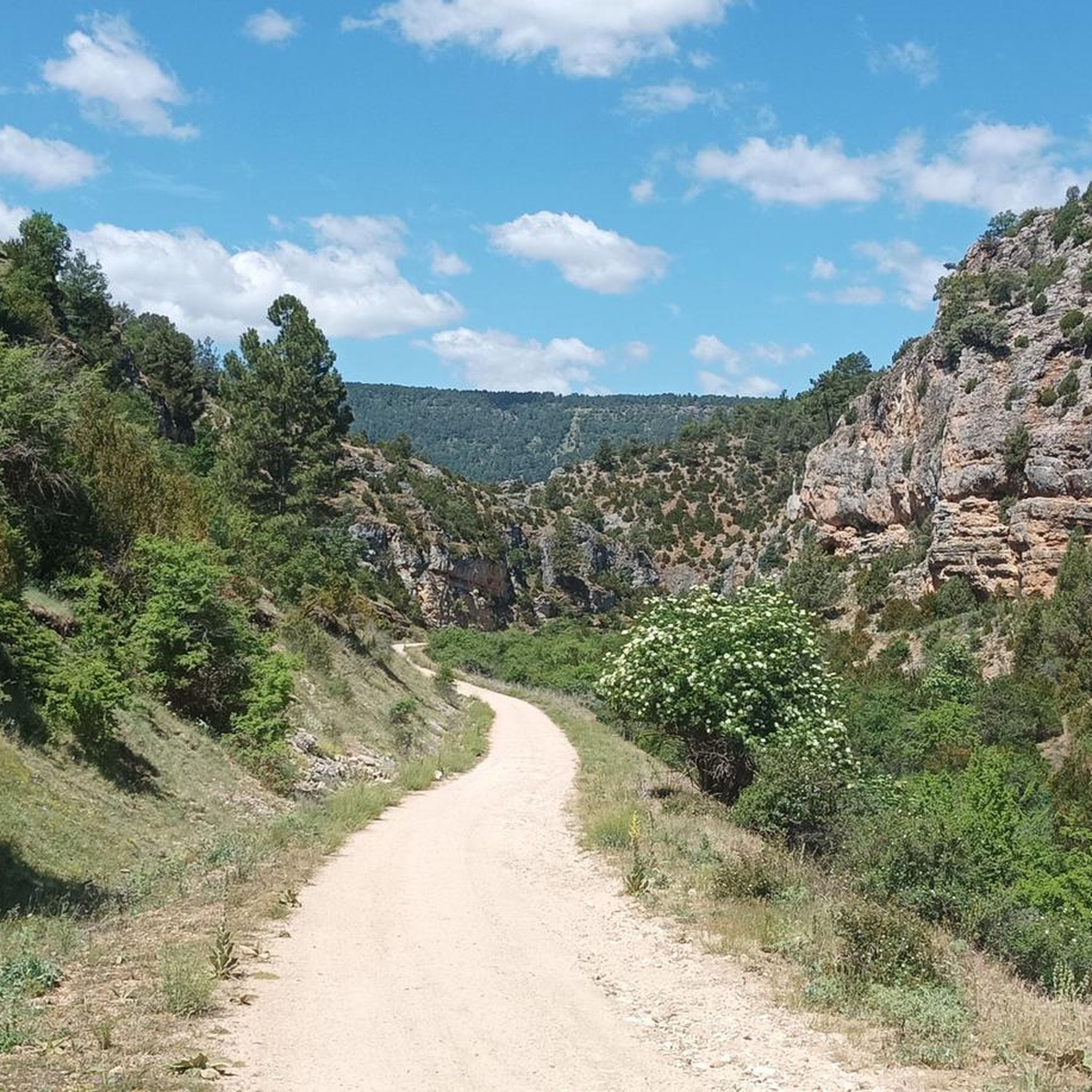
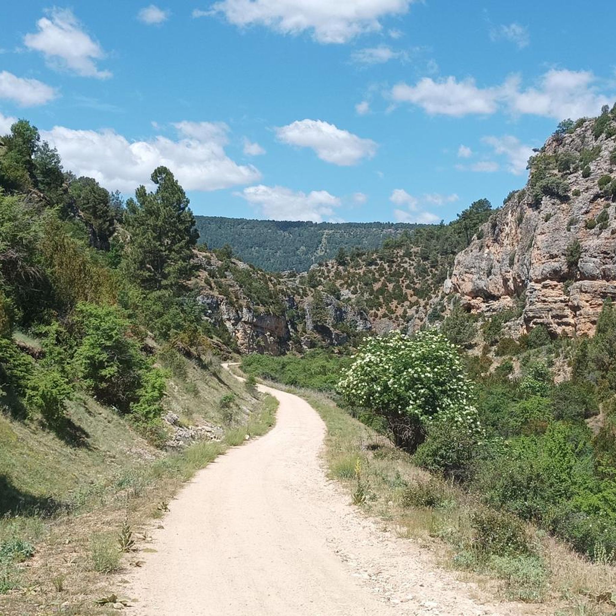
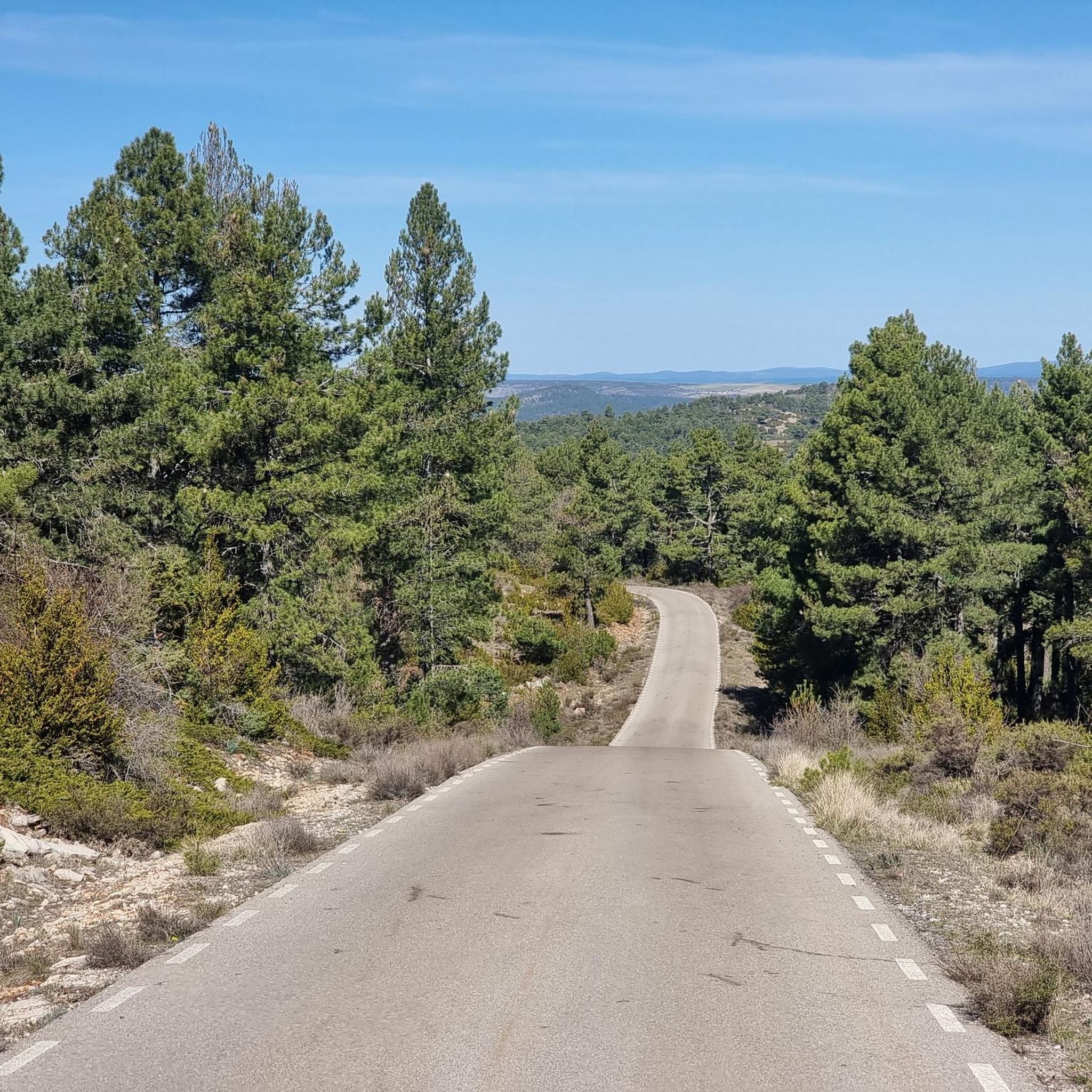
Road cycling around Pinilla de Molina offers routes through the Alto Tajo Natural Park, an area characterized by diverse forests, deep canyons, and unique rock formations. The region features a network of mostly paved roads that traverse river valleys and elevated terrain. Situated at an altitude of 1211 meters, the surroundings provide panoramic views and a tranquil environment for cyclists. The landscape includes ancient holm oak and pine forests, alongside dramatic limestone and red sandstone geological features.
Best road cycling…
Last updated: May 16, 2026
23
riders
127km
06:35
2,210m
2,210m
Hard road ride. Very good fitness required. Some segments of this route may be unpaved and difficult to ride.
13
riders
70.4km
03:51
1,490m
1,480m
Hard road ride. Very good fitness required. Some segments of this route may be unpaved and difficult to ride.

Sign up for free
28
riders
88.2km
04:34
1,270m
1,270m
Hard road ride. Very good fitness required. Some segments of this route may be unpaved and difficult to ride.
5.0
(1)
10
riders
Moderate road ride. Good fitness required. Mostly well-paved surfaces and easy to ride.
11
riders
84.1km
04:12
1,230m
1,230m
Hard road ride. Very good fitness required. Some segments of this route may be unpaved and difficult to ride.
Our route recommendations are based on thousands of hikes, rides, and runs completed by other people on komoot.
Start today with a free account
Your next adventure awaits.
Login or Signup
Popular around Pinilla De Molina
Tips from the Community

Small transient population with little more relevance than a local restaurant by the road and coming from the road a poorly maintained area that can serve as temporary shelter.
0
0

A recommended area for walking.
0
0

This is one of the attractions of the mountains, offering a natural spectacle as we observe the significant source of the Cuervo River. The area also offers parking, rest areas, and several bars and restaurants for lunch.
8
0
Here we find some informational signs about the spring of the famous Cuervo River. In this area, there are ample parking and shaded areas where you can rest.
8
0
We are at the entrance to the source of the Cuervo River, where there are shaded areas and open spaces for parking, as well as stone tables for lunch if we wish.
9
0

Orihuela del Tremedal has its roots in medieval times. It is believed that the town was founded in the 12th century, during the Reconquista, when Christians recovered territories from the Muslims.
13
0
Hospedería Virgen de la Hoz is a charming rural accommodation. This place offers a peaceful and natural setting, ideal for relaxing and enjoying outdoor activities such as hiking, cycling and bird watching. The inn has cosy and well-equipped rooms, a restaurant serving delicious à la carte dishes, and a terrace for relaxing. In addition, guests can enjoy Wi-Fi in public areas.
11
0
Peralejos de las Truchas is a charming village in the heart of the Alto Tajo Natural Park, ideal for a rural getaway. Peralejos de las Truchas is known for its unspoiled natural surroundings and tranquillity, making it a perfect destination to unwind and enjoy nature.
4
0
Frequently Asked Questions
How many road cycling routes are available around Pinilla de Molina?
There are 7 road cycling routes available around Pinilla de Molina. These routes offer a variety of challenges and scenic experiences within the Alto Tajo Natural Park.
What is the general difficulty level of road cycling in Pinilla de Molina?
Road cycling in Pinilla de Molina is generally challenging. Out of the 7 routes, 5 are classified as difficult, and 2 are moderate. Routes like the Serranía de Cuenca and Alto Tajo Loop require very good fitness, featuring significant elevation changes and long distances.
What kind of terrain can I expect on road cycling routes in Pinilla de Molina?
You can expect mostly paved surfaces that traverse diverse landscapes. The routes wind through ancient holm oak, juniper, and pine forests, dramatic river valleys, and unique geological formations like limestone and red sandstone. The region's high altitude, around 1211 meters, also means challenging climbs and rewarding descents with panoramic views.
What natural features or landmarks can I see along the road cycling routes?
The routes offer stunning natural sights. You can encounter unique geological formations like The towers of Chequilla, which feature striking red rocks. Other notable features include the Suspension bridge over the River Tajo, the scenic Estrecho del Horcajo Viewpoint, and the tranquil Laguna de Taravilla. You might even spot the Salto de Poveda Waterfall on some routes.
Are there any circular road cycling routes starting from Pinilla de Molina?
Yes, several routes are designed as loops. For instance, the Megina and Chequilla Viewpoint loop from Pinilla de Molina is a popular option, offering elevated terrain and notable viewpoints. Another is the Alto Tajo Park and Peralejos de las Truchas Loop, which provides challenging climbs and scenic views within the natural park.
What is the best time of year for road cycling in Pinilla de Molina?
The best time for road cycling in Pinilla de Molina is typically during spring and autumn. These seasons offer pleasant temperatures and stable weather conditions, ideal for tackling the region's challenging routes. Summers can be hot, and winters may bring colder temperatures and snow at higher altitudes, making cycling more demanding.
Is there parking available for cyclists in Pinilla de Molina?
Pinilla de Molina is a small, tranquil village. While there isn't dedicated large-scale parking specifically for cyclists, you can generally find street parking within the village. It's advisable to arrive early, especially during peak seasons, to secure a convenient spot.
Are there places to eat or stay in Pinilla de Molina for cyclists?
Pinilla de Molina offers a peaceful escape with limited amenities due to its small population. While the village itself has a charming, traditional atmosphere, options for cafes, pubs, and accommodation are scarce. It's recommended to check for local guesthouses or rural accommodations in advance, or consider nearby larger towns for more choices.
Can I bring my dog on road cycling routes in Pinilla de Molina?
The routes are within the Alto Tajo Natural Park, which has regulations to protect its natural environment. While dogs are generally allowed in the park, they must be kept on a leash to prevent disturbance to wildlife. Always ensure your dog is fit enough for the distance and terrain, and carry enough water for both of you.
Are there any easier road cycling routes for beginners or families in Pinilla de Molina?
The road cycling routes around Pinilla de Molina are generally rated as moderate to difficult, with no easy routes listed. The terrain often involves significant elevation changes and longer distances, making them more suitable for experienced cyclists with good fitness levels. Families or beginners might find the challenges substantial.
What do other road cyclists enjoy the most about road cycling in Pinilla de Molina?
The area is highly rated by the komoot community, with an average score of 5.0 stars. Reviewers often praise the stunning natural landscapes, the tranquility of the Alto Tajo Natural Park, and the challenging yet rewarding climbs that offer incredible panoramic views. The unique geological formations and diverse forests are also frequently highlighted.
How can I reach Pinilla de Molina using public transport with my bike?
Reaching Pinilla de Molina by public transport can be challenging due to its remote location within the Alto Tajo Natural Park. Public transport options are very limited, and bringing a bike on regional buses might require prior arrangement or could be restricted. Driving is generally the most convenient way to access the area with your bike.
Most popular routes around Pinilla De Molina
Most popular attractions around Pinilla De Molina

Get inspired with the komoot mobile app


Explore more
Browse the best Road cycling routes in other regions.
