The best road cycling routes around Baños De Tajo
5.0
(1)
65
riders
7
rides
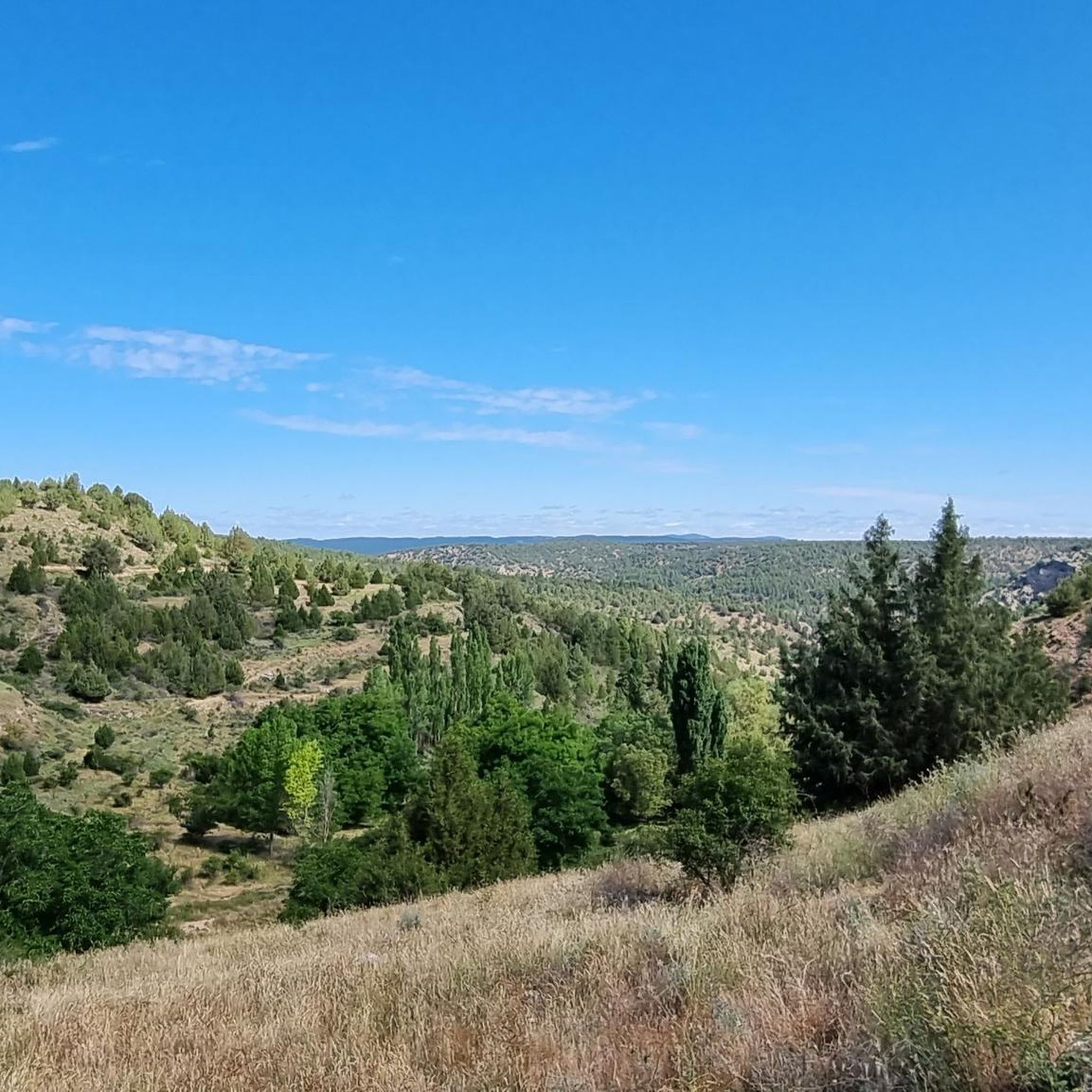
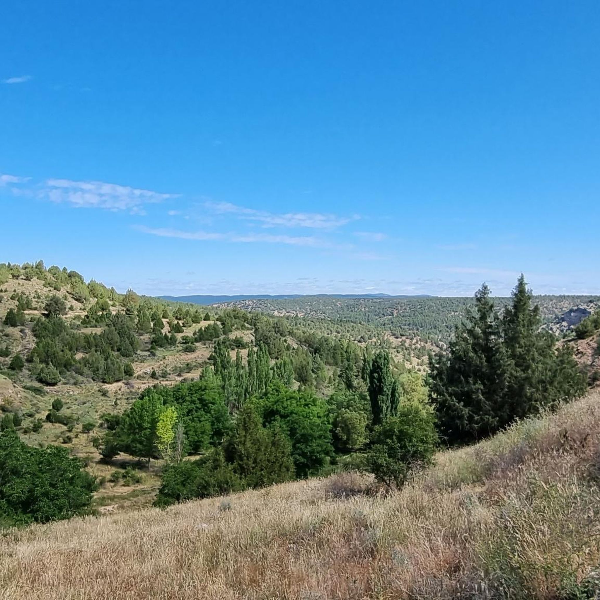
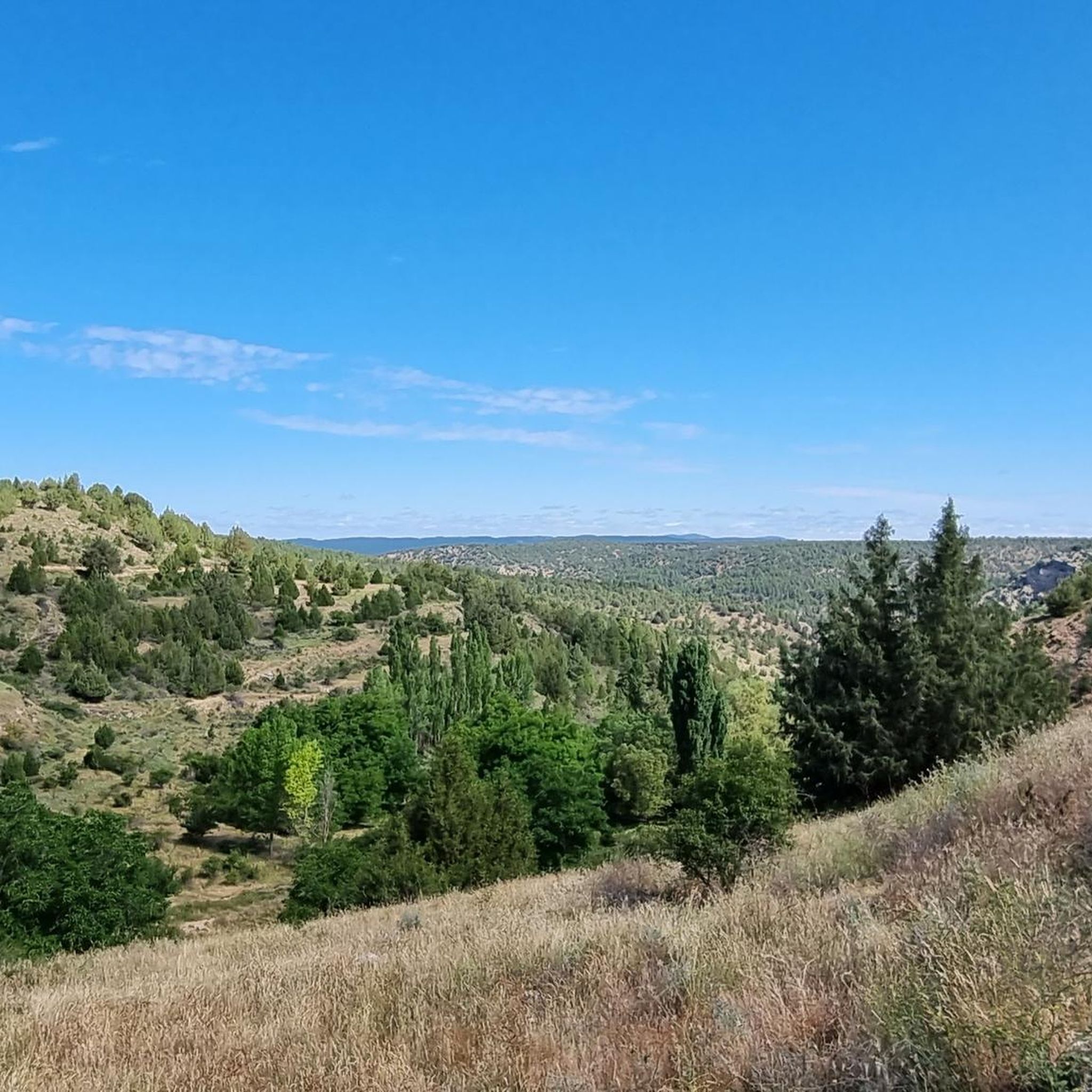
Best road cycling routes in Baños De Tajo are characterized by dramatic landscapes within the Alto Tajo Natural Park. The region features a vast network of deep canyons and gorges carved by the Tajo River and its tributaries, offering challenging ascents and descents. Extensive pine forests and riverside woodlands line many routes, providing scenic beauty and immersion in nature. Cyclists can expect significant elevation changes, with some routes featuring over 4,500 feet of ascent.
Best road cycling routes around Baños…
Last updated: August 7, 2026
13
riders
70.4km
03:51
1,490m
1,480m
Hard road ride. Very good fitness required. Some segments of this route may be unpaved and difficult to ride.
28
riders
88.2km
04:27
1,270m
1,270m
Hard road ride. Very good fitness required. Some segments of this route may be unpaved and difficult to ride.

Sign up for free
5.0
(1)
10
riders
Moderate road ride. Good fitness required. Mostly well-paved surfaces and easy to ride.
8
riders
42.0km
02:11
760m
760m
Moderate road ride. Good fitness required. Mostly well-paved surfaces and easy to ride.
6
riders
110km
05:21
1,570m
1,560m
Hard road ride. Very good fitness required. Mostly well-paved surfaces and easy to ride.
Get access to more routes and recommendations from other explorers.
Sign up for free
Already have an account?
Our route recommendations are based on thousands of hikes, rides, and runs completed by other people on komoot.
Start today with a free account
Your next adventure awaits.
Login or Signup
Popular around Baños De Tajo
Tips from the Community

Small transient population with little more relevance than a local restaurant by the road and coming from the road a poorly maintained area that can serve as temporary shelter.
0
0

A recommended area for walking.
0
0

Slept under the porch as it was closed today.
0
0

This small town is a haven of water everywhere, and it helps to dispel the anxiety that has accumulated due to the lack of water until I arrived here, as was my case. The municipal building and the church stand out next to the stream, where some ducks permanently reside.
8
0
A town with abundant water everywhere, which adds to the beauty of Checa. It's much more vibrant than most nearby towns. Its church, town hall, and small square give it a special essence, which, along with the small stream where some ducks live, create a beautiful setting.
9
0

Checa, 271 inhabitants (as of 2024), province of Guadalajara, Castile-La Mancha, at an altitude of 1370 m.
0
0

Hospedería Virgen de la Hoz is a charming rural accommodation. This place offers a peaceful and natural setting, ideal for relaxing and enjoying outdoor activities such as hiking, cycling and bird watching. The inn has cosy and well-equipped rooms, a restaurant serving delicious à la carte dishes, and a terrace for relaxing. In addition, guests can enjoy Wi-Fi in public areas.
11
0

In Molina we have everything: accommodation, shops, pharmacy. Good place to refuel
1
0
Frequently Asked Questions
What kind of terrain can I expect on road cycling routes in Baños De Tajo?
Road cycling in Baños De Tajo is characterized by dramatic landscapes within the Alto Tajo Natural Park. You can expect a vast network of deep canyons and gorges carved by the Tajo River and its tributaries, offering challenging ascents and descents. Routes often feature extensive pine forests and riverside woodlands, providing scenic beauty and immersion in nature. Many routes include significant elevation changes, with some touring options exceeding 4,500 feet of ascent.
How many road cycling routes are available in Baños De Tajo?
There are currently 6 road cycling routes detailed in this guide for Baños De Tajo. These routes cater to various fitness levels, ranging from moderate to difficult.
Are there road cycling routes suitable for different fitness levels?
Yes, the routes around Baños De Tajo offer options for both moderate and difficult ability levels. For example, the Checa – Checa Village loop from Pinilla de Molina is a moderate route, while the Molina de Aragón Castle – Molina de Aragón loop from Peñalén is considered difficult, featuring substantial climbs over a longer distance.
What natural features or landmarks can I see along the road cycling routes?
The routes often run parallel to the Tajo River, allowing you to experience its course and cross it via bridges. You might encounter singular spots like the pools of Taravilla and Valtablado, or the picturesque Salto de Poveda Waterfall. The region is also known for its deep canyons and gorges, offering spectacular backdrops.
Are there any notable bridges or viewpoints to look out for?
Yes, the area features several interesting bridges, including the Suspension bridge over the River Tajo and the Puente de Peñalén. Many routes, such as the Megina and Chequilla Viewpoint loop from Pinilla de Molina, are designed to offer panoramic views of the dramatic landscapes.
What is the best time of year for road cycling in Baños De Tajo?
The Alto Tajo Natural Park is generally best enjoyed during spring and autumn when temperatures are milder, and the natural scenery is at its most vibrant. Summer can be quite hot, especially in the canyons, while winter may bring colder temperatures and potential for snow at higher elevations, making conditions more challenging.
What kind of wildlife might I encounter while cycling in Baños De Tajo?
The Tagus Canyon provides habitats for a diverse array of birds of prey, such as golden eagles, griffon vultures, and eagle owls, which you might spot soaring above. The well-preserved rivers and streams also support a healthy population of otters, though they are more elusive.
Are there any circular road cycling routes in the Baños De Tajo area?
Yes, many of the routes in the area are designed as loops. For instance, the popular Alto Tajo Park and Peralejos de las Truchas Loop and the Salinas de Armallá – Hermitage of the Virgen de la Hoz loop from Tierzo are both circular routes.
What do other road cyclists enjoy about the routes in Baños De Tajo?
The area is highly rated by the komoot community, with an average score of 5.0 stars. Reviewers often praise the stunning natural beauty, the challenging yet rewarding elevation changes, and the sense of immersion in nature provided by the extensive pine forests and river valleys.
Can you recommend a challenging road cycling route for experienced riders?
For experienced riders seeking a challenge, the Molina de Aragón Castle – Molina de Aragón loop from Peñalén is an excellent choice. This difficult route covers over 109 km and features significant elevation gain, offering a demanding ride through varied terrain.
Are there any historical sites or cultural points of interest along the routes?
Yes, some routes pass by historical sites. For example, the Salinas de Armallá – Hermitage of the Virgen de la Hoz loop from Tierzo leads through river valleys and past the Sanctuary of the Virgin of the Hoz, offering a blend of natural beauty and cultural heritage.
Most popular routes around Baños De Tajo
Most popular attractions around Baños De Tajo

Get inspired with the komoot mobile app


Explore more
Browse the best Road cycling routes in other regions.
