The best walks and hikes around Braojos
4.6
(253)
1,350
hikers
85
hikes
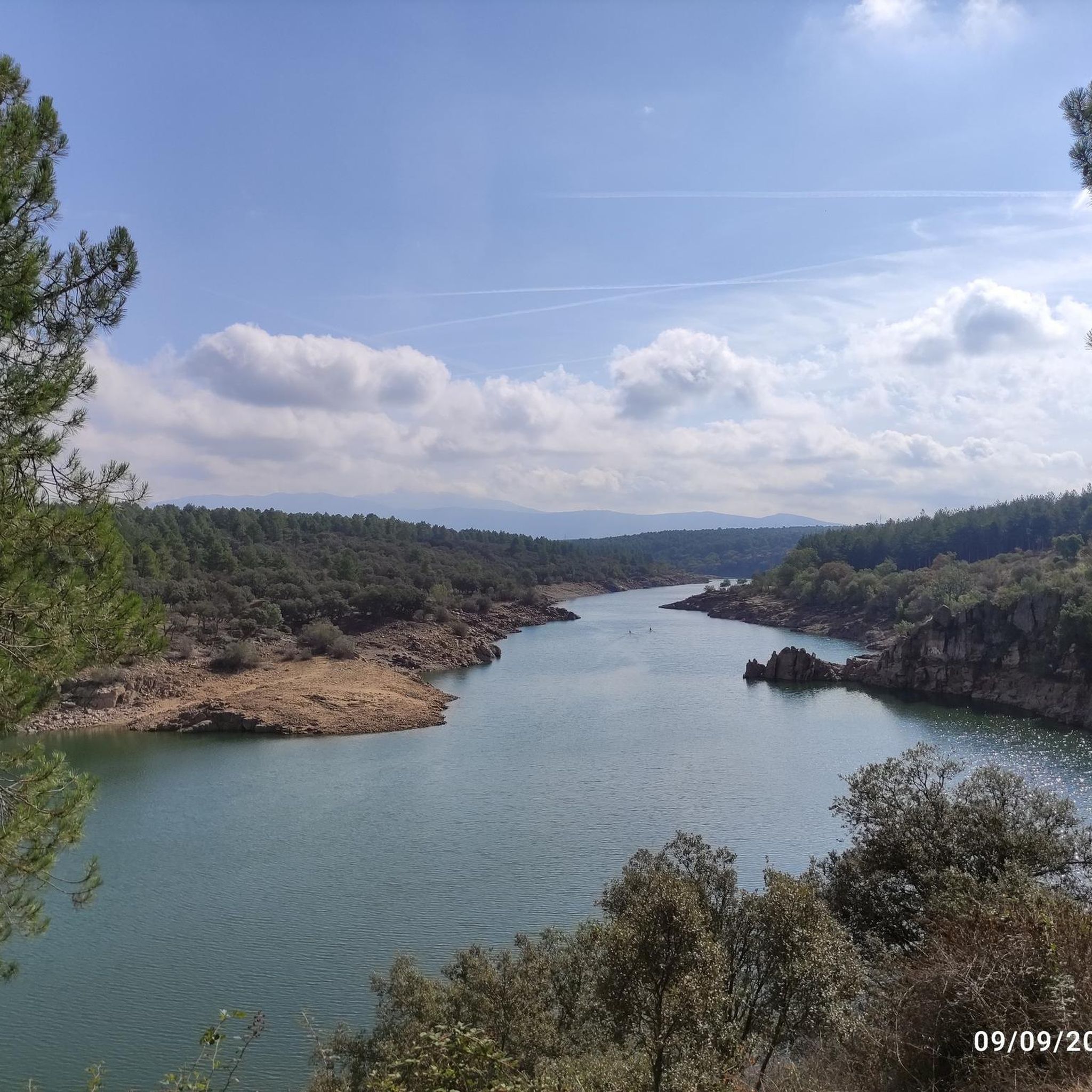
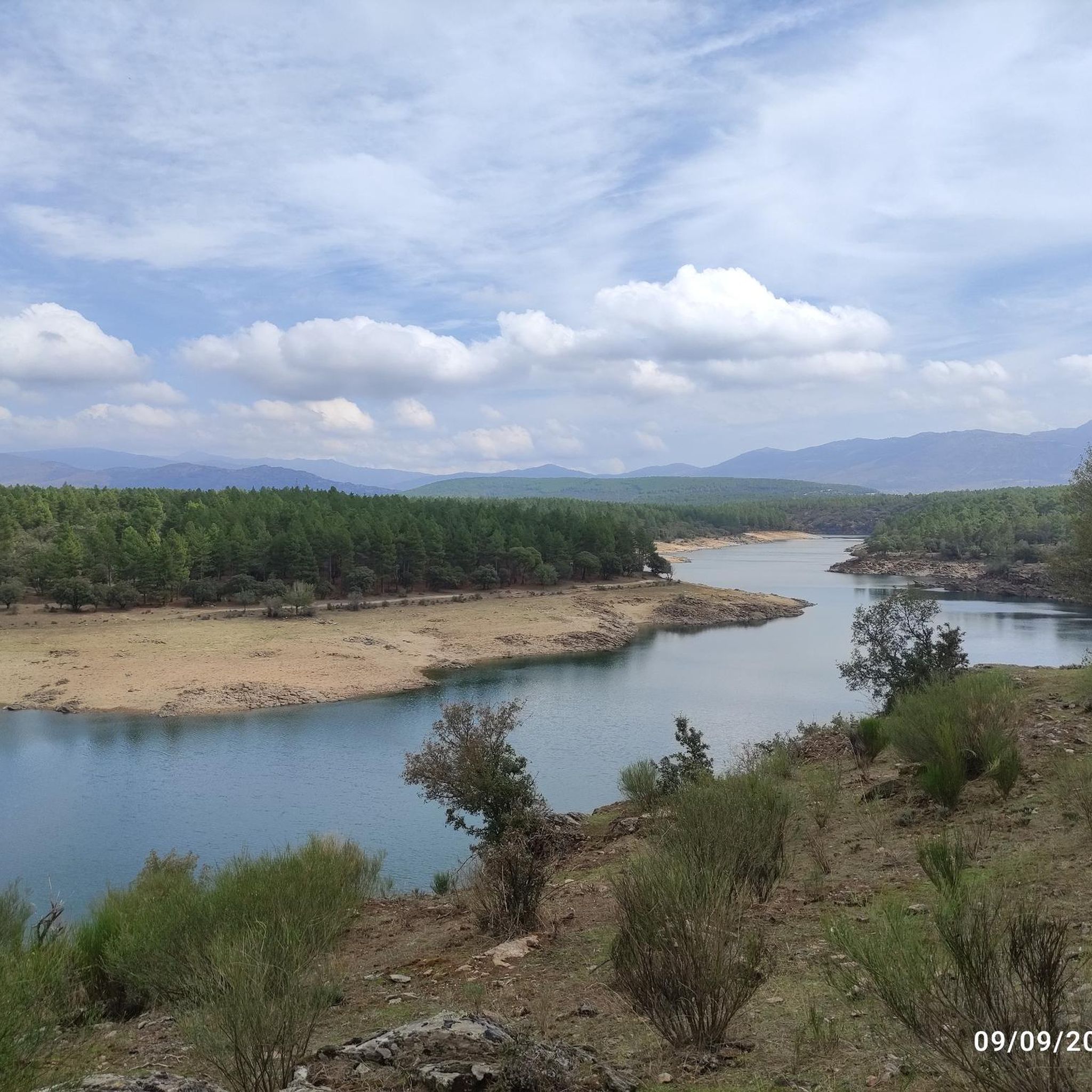
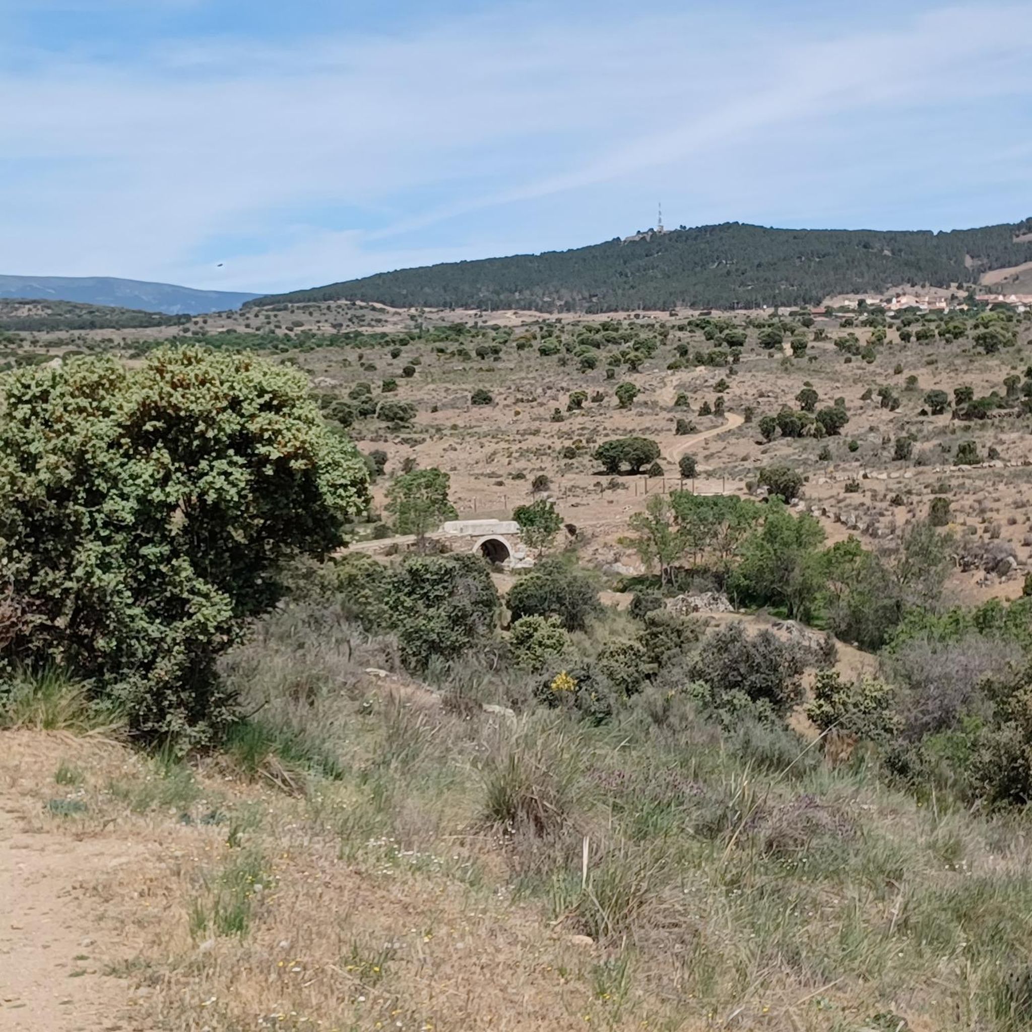
Hiking around Braojos de la Sierra offers diverse landscapes within the Sierra Norte of Madrid, characterized by varied ecosystems. The region features extensive oak forests, vast meadows, and numerous natural springs. Hikers can experience the Arroyo de la Trocha, a small stream, and gain views of the Lozoya Valley. The terrain includes both gentle paths and more challenging ascents.
Best hiking trails around Braojos
- The most popular hiking route is Buitrago del Lozoya Wall – Buitrago de Lozoya loop from…
Last updated: July 28, 2026
4.3
(4)
9
hikers
13.5km
04:08
460m
460m
Moderate hike. Good fitness required. Easily-accessible paths. Suitable for all skill levels.
5.0
(1)
7
hikers
15.5km
05:15
600m
600m
Hard hike. Very good fitness required. Mostly accessible paths. Sure-footedness required.

Sign up for free
4.0
(1)
6
hikers
6.92km
01:57
150m
150m
Easy hike. Great for any fitness level. Easily-accessible paths. Suitable for all skill levels.
4
hikers
14.5km
04:41
610m
610m
Moderate hike. Good fitness required. Easily-accessible paths. Suitable for all skill levels.
1
hikers
8.84km
02:27
150m
150m
Moderate hike. Good fitness required. Easily-accessible paths. Suitable for all skill levels.
Get access to more routes and recommendations from other explorers.
Sign up for free
Already have an account?
Our route recommendations are based on thousands of hikes, rides, and runs completed by other people on komoot.
Start today with a free account
Your next adventure awaits.
Login or Signup
Tips from the Community

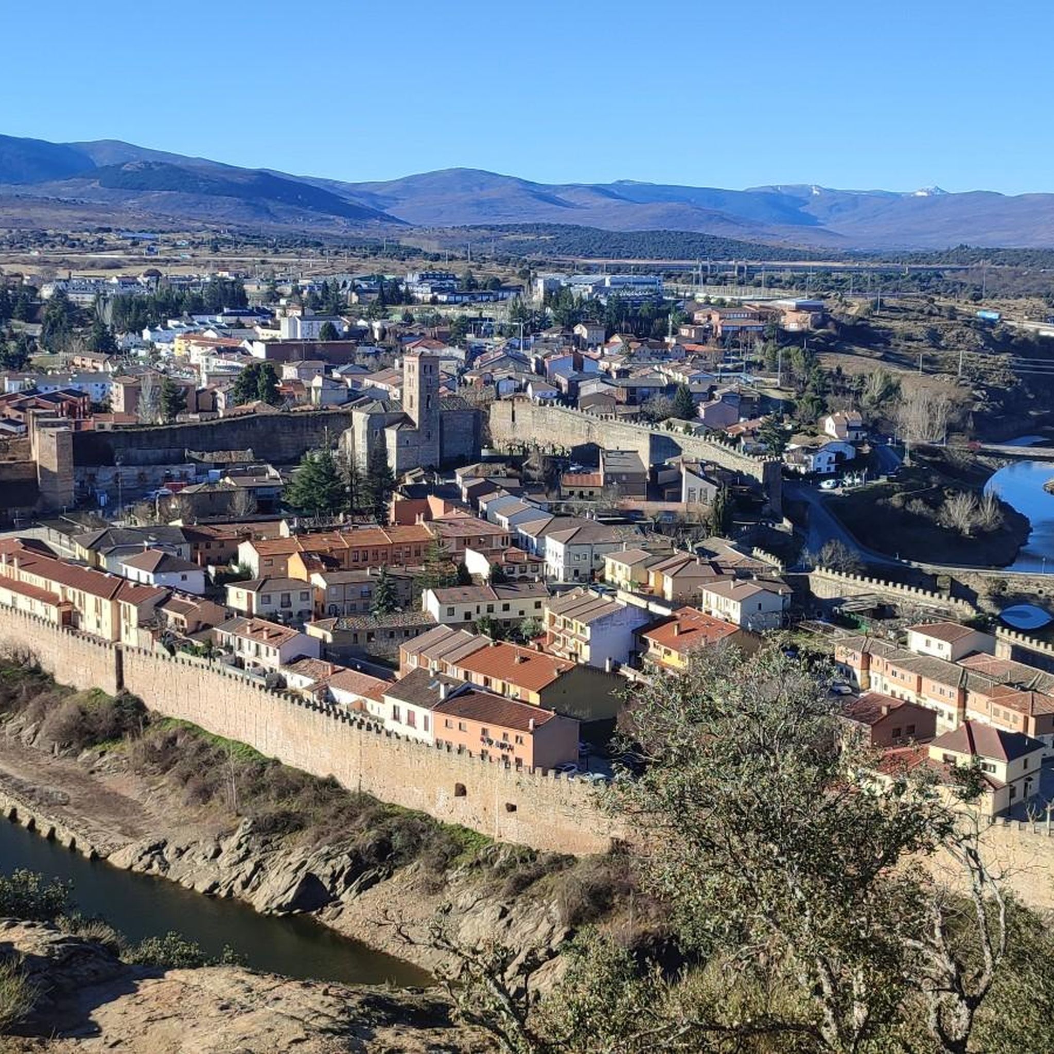
Beautiful town in the Community of Madrid with tranquility and a wonderful landscape.
0
0
It is one of the Altos de Somosierra, between Madrid and Segovia at 1,833 meters
1
0

Aljibe :-) About 50 meters up the slope there is a spring flowing out of a small cistern
0
0

Here you will find a refuge if you need it. Not a bad place to escape a rain storm. It is at the intersection of 2 main trails.
0
0

good place to rest and plan the rest of the route
0
0

Geodesic point just separated from the Horizontal (although you have to climb a very steep slope) that allows you to see the Segovian side of the Sierra.
0
0

quite a few machine gun nests and trenches from the civil war
2
0
Frequently Asked Questions
How many hiking trails are available in Braojos?
Braojos offers a wide variety of hiking opportunities, with over 60 distinct trails listed on komoot. These routes cater to different preferences, ranging from easy strolls to more challenging ascents.
What are the general difficulty levels of hikes in Braojos?
The trails around Braojos offer a good mix of difficulty levels. You'll find 19 easy routes, 43 moderate trails, and 6 more difficult options, ensuring there's something for every fitness level and experience.
What kind of natural landscapes can I expect to see while hiking in Braojos?
Braojos is characterized by diverse ecosystems. You can expect to hike through extensive oak forests, vast meadows, and pastures. The area also features numerous natural springs and the meandering Arroyo de la Trocha stream, which is particularly vibrant in winter. As you gain elevation, you'll be rewarded with breathtaking panoramic views of the Lozoya Valley.
Are there any waterfalls to see on hikes around Braojos?
Yes, the region around Braojos features beautiful water features. You can discover the Chorrera de San Mamés and the Cancho Litero Waterfall, both offering picturesque spots to enjoy during your hike.
Are there any historical or cultural sites along the hiking routes?
Beyond its natural beauty, Braojos retains a strong rural character. Some routes may pass by centuries-old buildings like the Iglesia de San Vicente Mártir and the Ermita del Buen Suceso. The "Ruta El Ejido" is notable for passing by well-preserved remains from the Civil War. Additionally, the historic Castle of the Mendoza Family (Buitrago de Lozoya) is also nearby.
Are there any easy hiking trails suitable for beginners in Braojos?
Yes, Braojos offers 19 easy routes perfect for beginners or those looking for a relaxed walk. An example is the Lozoya River loop from Buitrago del Lozoya, which is 7.1 km long and takes around 2 hours to complete with minimal elevation gain.
Can I find circular hiking routes in Braojos?
Many of the trails in Braojos are designed as circular routes, allowing you to start and end at the same point. For instance, the Shore of the Lozoya River – Buitrago de Lozoya loop from Buitrago del Lozoya is a popular circular option.
What do other hikers say about the trails in Braojos?
The hiking routes in Braojos are highly rated by the komoot community, with an average score of 4.5 stars from over 240 reviews. Hikers often praise the diverse landscapes, the scenic views of the Lozoya Valley, and the variety of trails available for different skill levels.
What is the best time of year to go hiking in Braojos?
Braojos is beautiful throughout the year, but early spring is particularly captivating for birdwatching in the oak forests. The Arroyo de la Trocha stream is most vibrant in winter with clear water from rain and snowmelt. Autumn also offers stunning colors in the diverse woodlands.
Are there any challenging hikes for experienced hikers in Braojos?
Yes, for experienced hikers seeking a challenge, Braojos has 6 difficult routes. One such option is the Puerto de La Acebeda – Colgadizos Summit loop from La Acebeda, which covers over 15 km with significant elevation gain, requiring good fitness and alpine experience.
Are there any specific viewpoints or peaks I should look for?
Absolutely. As you ascend, many trails offer panoramic views of the Lozoya Valley. For a specific peak experience, consider routes that lead towards Peña Quemada Peak, which is a notable summit in the area.
What kind of wildlife can I spot while hiking in Braojos?
Braojos boasts rich biodiversity. You might spot common birds like blackbirds, starlings, and swallows, and with patience, golden orioles and white storks. Raptors such as griffon and black vultures are also present. Mammals like shrews, hedgehogs, rabbits, foxes, and wild boars inhabit the area, though they are often more elusive.
Most popular attractions around Braojos

Get inspired with the komoot mobile app


Explore more
Browse the best Hikes in other regions.
