The best cycling routes around Formiche Alto
4.3
(60)
440
riders
48
rides
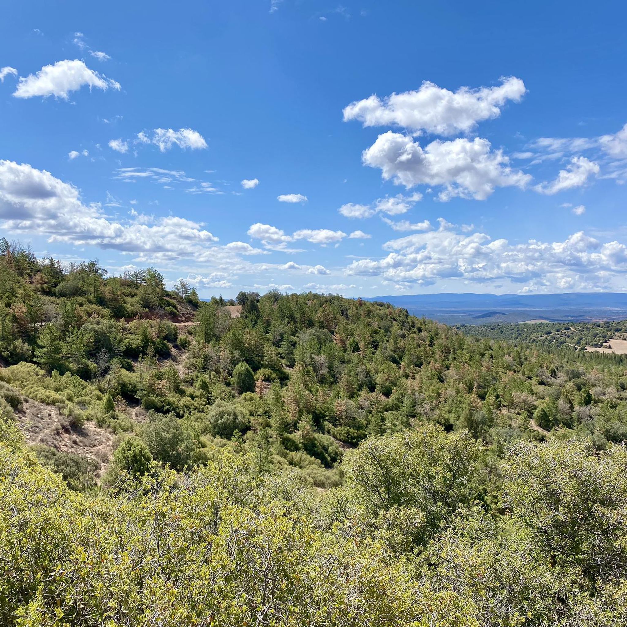
Touring cycling routes around Formiche Alto are situated in a mountain village in the province of Teruel, Spain, at an altitude of 1,000 meters. The region features varied terrain, including the fluvial landscapes of Estrechos de la Hoz, the unique Red Plain with its contrasting red earth and green vegetation, and the scenic Mijares River. It is also located at the foot of the Sierra de Javalambre, offering mountain views and a network of routes suitable for cycling.
Best touring…
Last updated: October 31, 2026
4.5
(34)
157
riders
79.8km
05:28
700m
700m
Hard bike ride. Very good fitness required. Mostly paved surfaces.
24
riders
85.3km
06:07
1,840m
1,840m
Hard bike ride. Very good fitness required. Mostly paved surfaces.

16
riders
52.4km
03:41
1,000m
1,000m
Hard bike ride. Very good fitness required. Mostly paved surfaces.
16
riders
56.3km
04:12
1,360m
1,360m
Hard bike ride. Very good fitness required. Mostly paved surfaces.
4
riders
33.9km
03:09
690m
690m
Hard bike ride. Very good fitness required. Mostly paved surfaces.
Get access to more routes and recommendations from other explorers.
Already have an account?
Our route recommendations are based on thousands of hikes, rides, and runs completed by other people on komoot.
Start today with a free account
Your next adventure awaits.
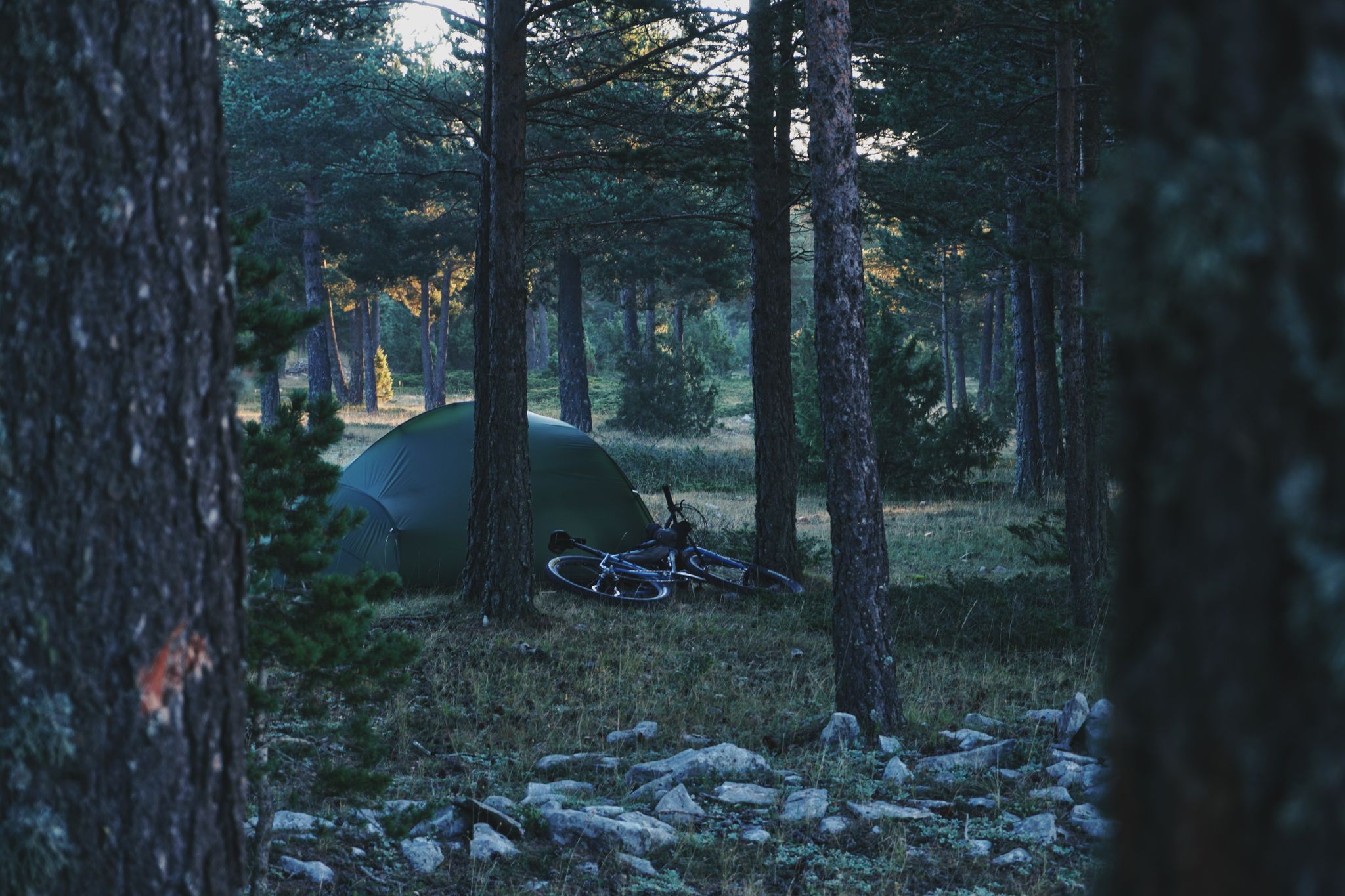
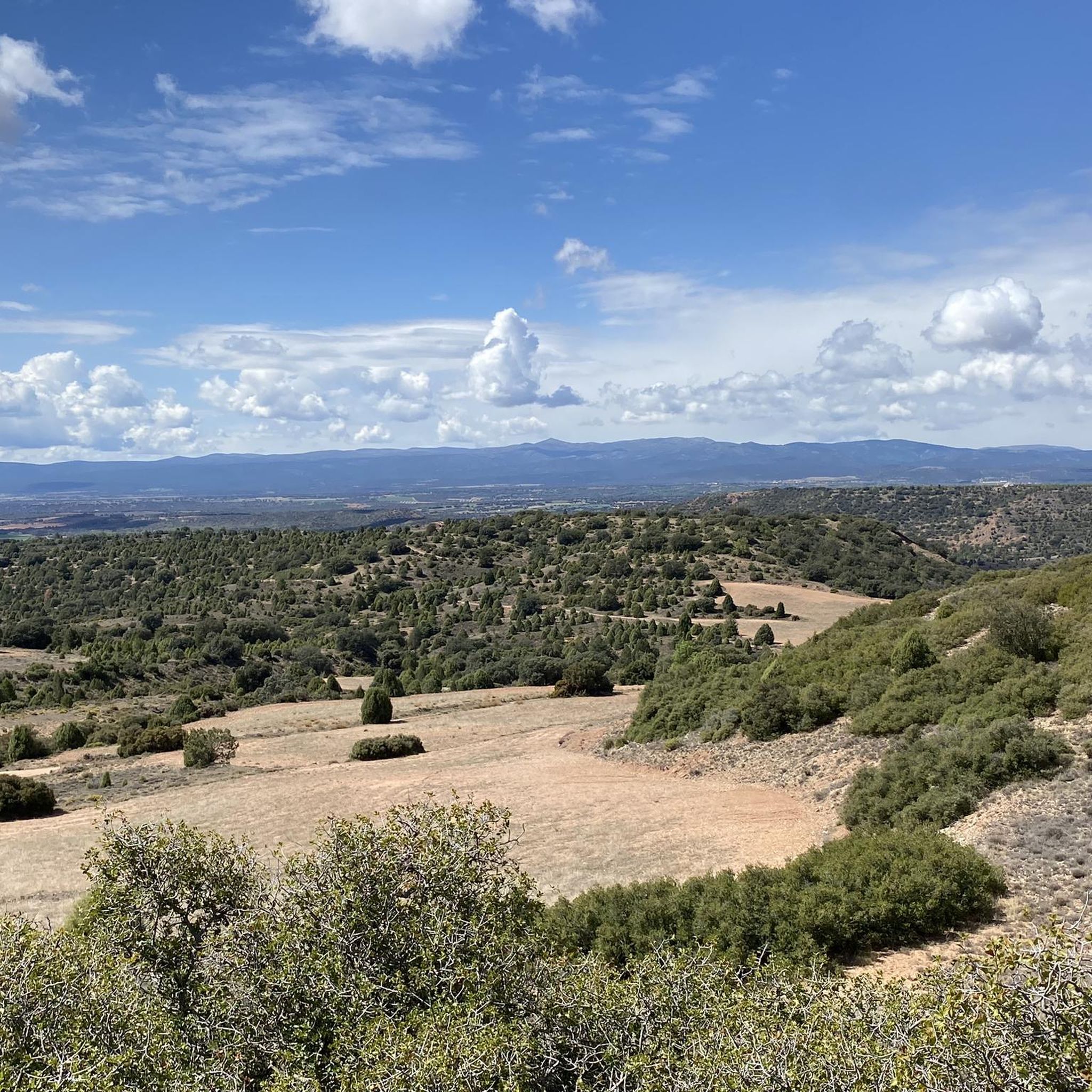
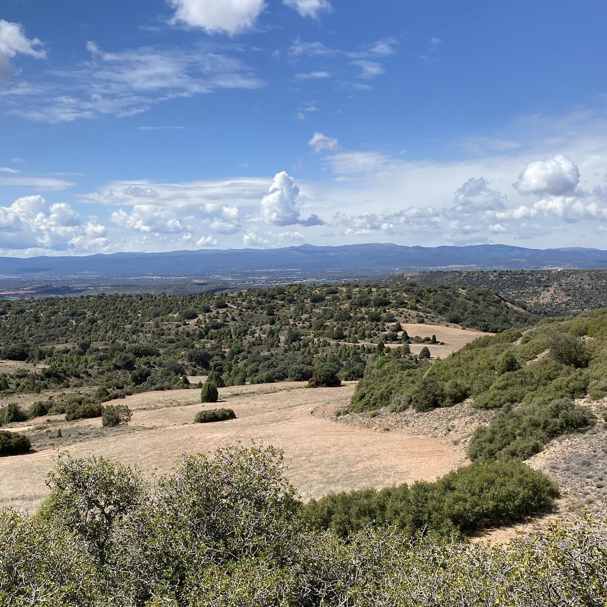
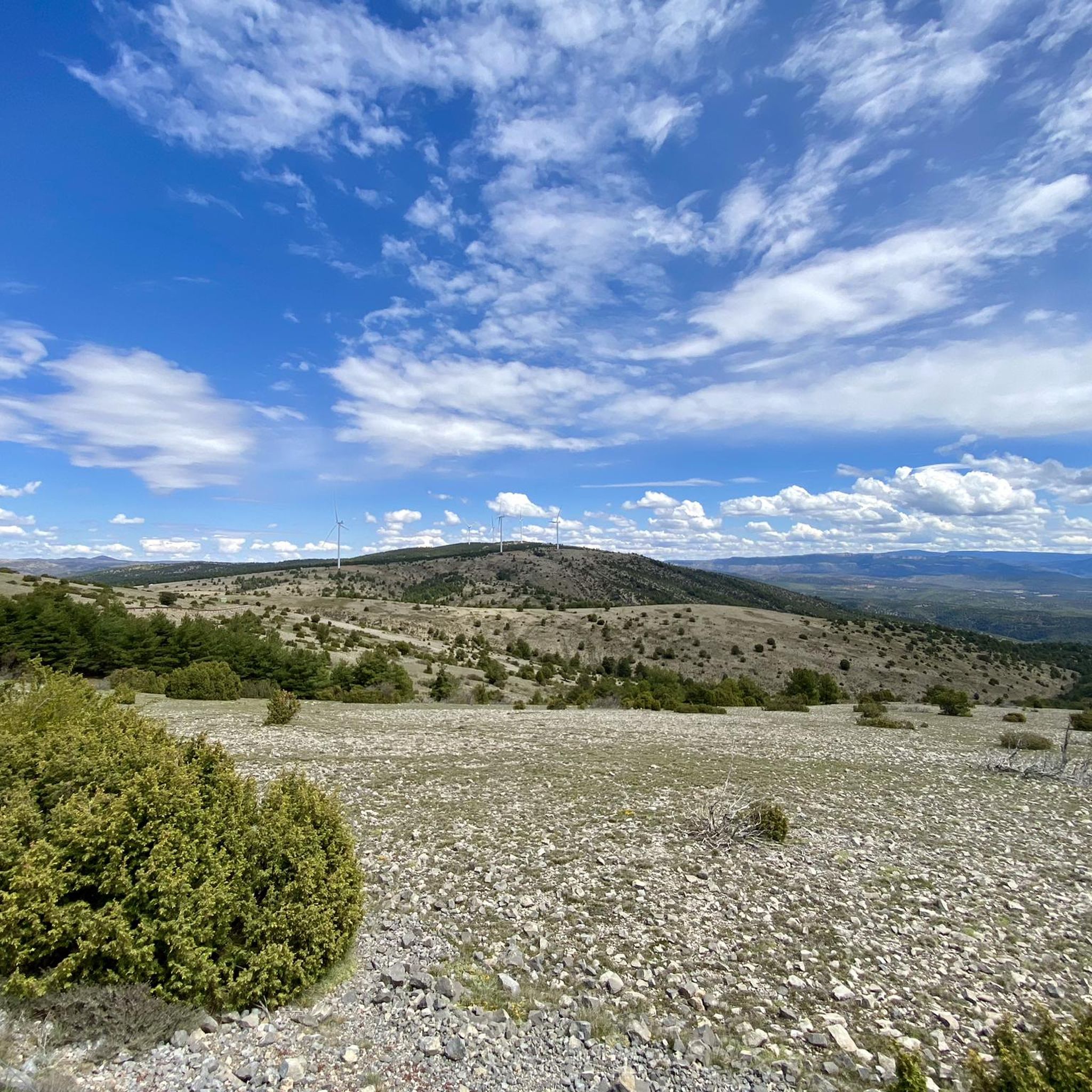

Other adventures around Formiche Alto

Tips from the Community

Beautiful little town in the middle of the mountains
0
0

Ermita de la Soledad (Hermitage of Solitude) The hermitage was built in the 18th century under the patronage of Saint Mary. The name "La Soledad" (Solitude) refers to the Virgin's state after the death and burial of her son, Jesus. The image depicts Mary in a prayerful posture, with her hands crossed and a rosary in her hand. In light of the Virgin Mary's intense suffering, she is serene and hopeful about the salvation of humanity. In the iconographic representation of the Virgin Mary, she is covered with a blue mantle and pink robe. In this chapel, however, Mary is covered with a black mantle and a white habit, a symbol of mourning and sorrow. Inside the chapel, the space opens up through a barrel vault with lunettes. A dome rises above the transept on stucco pendentives. Four angels. Two side doors with pointed arches lead into the central nave. The tiled roof above the transept forms a false cone. At the foot of the altar, an atmosphere of spiritual contemplation prevails during the traditional retreat. Pilgrims prostrate themselves at the prayer window, assuming the same prayerful posture as the Virgin Mary. The wooden roof, supported by four Doric columns with elaborate carvings of plant motifs, is very well preserved.
0
0
Barbecue hut, table and benches, water, and trash cans. A good resting place.
0
0
Good water in abundance at this spring.
1
0

The fortress has surprisingly large dimensions, is very strategically located and has been the center of several wars for centuries. Visit: with admission, see schedules and guided tours or temporary exhibitions on the Mora de Rubielos Castle website.
0
0

The Mora de Rubielos castle or Fernández de Heredia castle is a fortification located on a hill in the Sierra de Gúdar, in the Aragonese town of Mora de Rubielos, 41 kilometers from Teruel, near the provincial border with Castellón. Currently, it is considered a BIC
0
0
Aragonese ski and snowboard resort located in the Iberian System, specifically in the unique and extremely beautiful enclave of the Sierra de Gúdar, located in the province of Teruel. It is located at a distance of 70 km from the Provincial Capital. This winter center, despite being small in size, is at 2,000 m. of altitude, so its snow is highly appreciated, especially by Aragonese skiers and the Valencian community who, due to its proximity, are the ones who frequent and know it the most. Being one of the most recent ski and snowboard resorts in Spain, its facilities are modern, and all its slopes are equipped with the most modern artificial snowmaking systems. You can also practice cross-country skiing on a circular route. It offers gentle slopes and descents between forests.
0
0
It is located in the southern area of Aragon, specifically, in the Gudar/Javalambre region, at an altitude of 1,400 m. and its dry climate is temperate-cold with an average annual temperature of 8ºC. It snows and rains frequently, keeping the forests green. The natural sources and streams in the area prove it.
1
0
Frequently Asked Questions
How many touring cycling routes are available around Formiche Alto?
There are over 35 touring cycling routes available around Formiche Alto. These routes offer a variety of experiences, with 12 considered moderate and 25 classified as difficult, catering to different skill levels.
What do other touring cyclists enjoy about the routes in Formiche Alto?
The touring cycling routes in Formiche Alto are highly rated by the komoot community, with an average score of 4.8 stars from around 25 reviews. Cyclists often praise the varied terrain, from the unique Red Plain to the scenic river valleys, and the opportunity to explore historical sites like the Mora de Rubielos Castle.
What kind of terrain can I expect on touring cycling routes in Formiche Alto?
You can expect a diverse range of terrain. Routes often traverse the unique Red Plain, characterized by its distinctive red earth and green vegetation, and follow the scenic Mijares River. The region is also situated at the foot of the Sierra de Javalambre, offering mountain views and more challenging ascents. A significant draw is the Ojos Negros Greenway, which provides extensive views of the Teruel plain and features parts of the original train route through tunnels and bridges.
Are there any touring cycling routes suitable for beginners in Formiche Alto?
While many routes in Formiche Alto are classified as moderate to difficult, the Ojos Negros Greenway offers sections that are generally flatter and more accessible, especially if starting from higher elevations for a long descent. It's advisable to check the specific route profiles on komoot for detailed elevation and surface information to find the most suitable option.
What are some challenging touring cycling routes in the area?
For experienced touring cyclists seeking a challenge, the region offers several difficult routes. One such option is the Mora de Rubielos Castle – Virgen de la Vega loop from Mora de Rubielos, which covers 34.7 miles (55.8 km) with significant elevation changes. Another demanding route is the Fuente del Hortalán – Mora de Rubielos Castle loop from Mora de Rubielos, a 21.1 miles (33.9 km) path that also presents a considerable climb.
Are there historical sites or landmarks to visit along the touring cycling routes?
Yes, Formiche Alto and its surroundings are rich in history. Many routes pass by or near significant landmarks such as the impressive Mora de Rubielos Castle, a 12th-century fortress. You can also explore the charming town of La Puebla de Valverde with its ancient ruins, or discover the Medieval Bridge over the Mijares River and the Hermitage of Loreto near Formiche Alto itself.
What natural features can I explore while cycling around Formiche Alto?
The region boasts stunning natural landscapes. You can cycle through the unique Red Plain, known for its striking contrast of red earth and green vegetation. The Mijares River carves through impressive fluvial landscapes like the Estrechos de la Hoz, featuring gorges and rich biodiversity. The area is also home to the monumental Sabina Pinera, an iconic juniper tree, and offers views of the Sierra de Javalambre mountain range.
Are there any circular touring cycling routes in Formiche Alto?
Yes, many touring cycling routes in Formiche Alto are designed as loops, allowing you to start and end in the same location. An example is the Red Plain – View of the "Wild West" loop from Formiche Alto, which is a difficult 66.2 miles (106.6 km) path offering extensive views and returning to your starting point.
What is the best time of year for touring cycling in Formiche Alto?
Formiche Alto, located at an altitude of 1,000 meters, offers fresh air and a tranquil setting. The spring and autumn months generally provide the most pleasant temperatures for touring cycling. Summers can be warm, but the altitude can offer some relief. Winters can be cold, especially in the higher mountain areas of Sierra de Javalambre, so checking local weather conditions is always recommended.
Is there public transport access to the touring cycling routes near Formiche Alto?
While Formiche Alto is a mountain village, the region is connected. The Ojos Negros Greenway, a major cycling artery, passes near Formiche Alto between Cella and Puebla de Valverde. For specific public transport options to reach trailheads, it's best to consult local bus schedules or regional transport services, as direct connections to all starting points may vary.
Are there any cafes or pubs near the touring cycling routes in Formiche Alto?
Formiche Alto and nearby towns like Mora de Rubielos and Puebla de Valverde offer local establishments where you can find refreshments. The village of Formiche Alto itself has a charming Plaza Mayor with local amenities. Many routes pass through or near these villages, providing opportunities for a break and to experience local hospitality.
Can I find scenic viewpoints along the touring cycling routes?
Absolutely. The routes around Formiche Alto are known for their scenic beauty. The Red Plain offers breathtaking vistas with its unique geological formations. The Ojos Negros Greenway provides extensive views of the Teruel plain. Additionally, cycling through the Sierra de Javalambre foothills offers panoramic mountain scenery, and the Estrechos de la Hoz provides impressive views of the Mijares River gorges.
Most popular routes around Formiche Alto
Most popular attractions around Formiche Alto

Get inspired with the komoot mobile app


Explore more
Browse the best Cycling routes in other regions.
