The best walks and hikes around Almargen
3.8
(9)
31
hikers
12
hikes
Hiking around Almargen offers access to trails traversing the varied landscapes of inland Andalusia. The region is characterized by rolling hills, agricultural plains, and natural lagoons, providing diverse terrain for outdoor activities. Elevation changes are generally moderate, with some routes featuring gentle climbs to viewpoints. The area's geology contributes to a mix of open country and more secluded paths.
Best hiking trails around Almargen
- The most popular hiking route is Las Carboneras Trail, a 7.5 miles (12.0 km) trail…
Last updated: July 31, 2026
3.7
(3)
13
hikers
12.0km
03:29
310m
310m
Hike the moderate 7.5-mile Las Carboneras Trail, gaining 1008 feet over 3 hours and 28 minutes, starting from Cañete La Real.
5.0
(1)
1
hikers
5.68km
01:46
230m
220m
Hike the easy 3.5-mile Cerro Sábora Trail in Cañete La Real, gaining 740 feet with views of the town and Quicio del Moro Viewpoint.

Sign up for free
12.3km
03:18
150m
150m
Hike a moderate 7.6-mile (12.3 km) circular trail to Laguna del Gosque from Martín de la Jara, exploring a unique saline wetland.
5.0
(1)
4
hikers
7.81km
02:23
260m
260m
Moderate hike. Good fitness required. Easily-accessible paths. Suitable for all skill levels.
3
hikers
10.5km
02:50
140m
140m
Moderate hike. Good fitness required. Easily-accessible paths. Suitable for all skill levels.
Get access to more routes and recommendations from other explorers.
Sign up for free
Already have an account?
Our route recommendations are based on thousands of hikes, rides, and runs completed by other people on komoot.
Start today with a free account
Your next adventure awaits.
Login or Signup
Tips from the Community

The Church of San Sebastián in Cañete la Real (Málaga) is one of the town's most notable religious monuments, boasting a rich history and impressive architecture. Although its origins date back to the 16th century, the current church is the result of a major renovation carried out in the 18th century, specifically in 1770, according to a design by Diego Antonio Díaz.
1
0

On this section you will go along a comfortable track that goes between the pine forests of the area, if not directly through them somewhere. Also if you look closely you can see part of the wind farm with its mills in the distance, distributed along the hill.
2
0
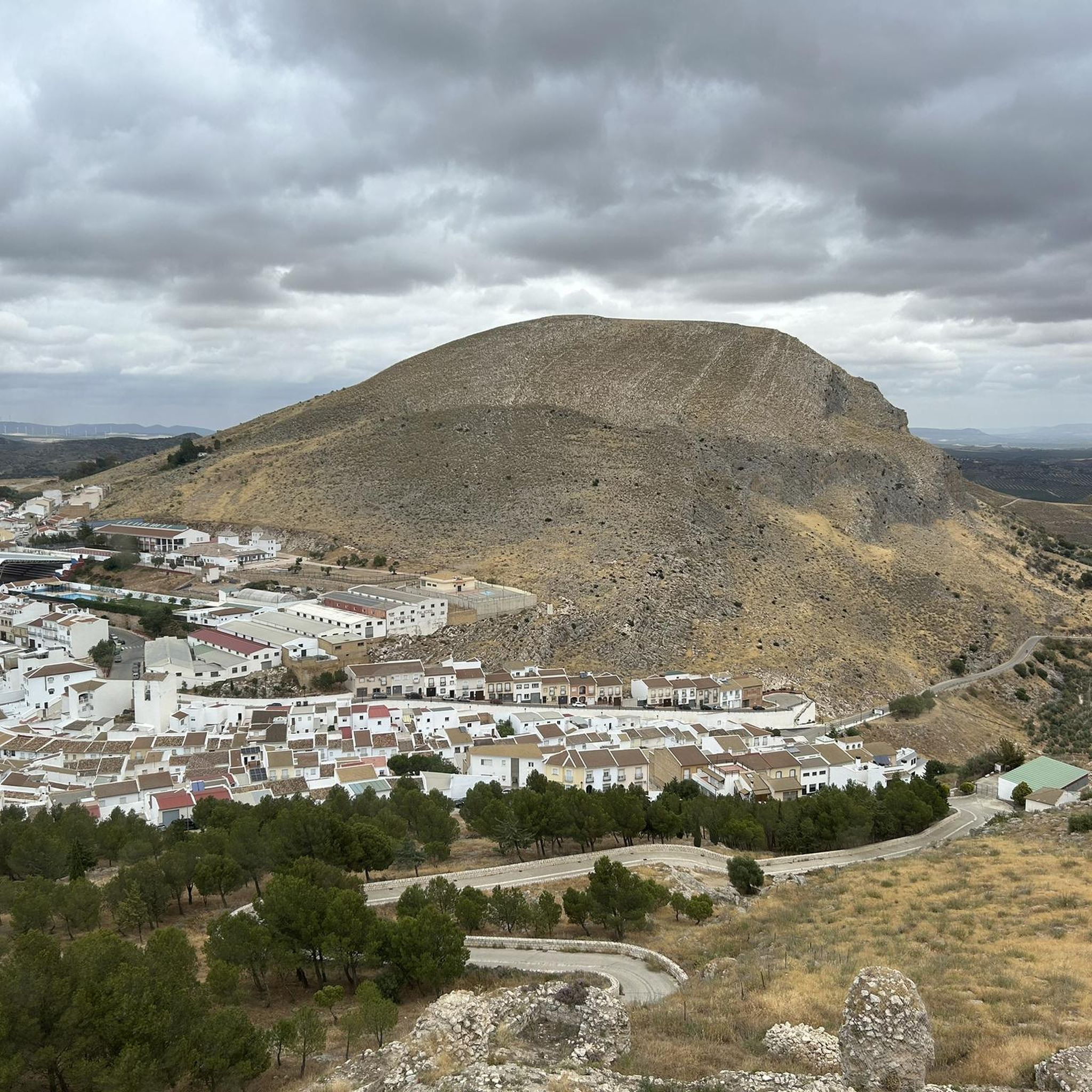
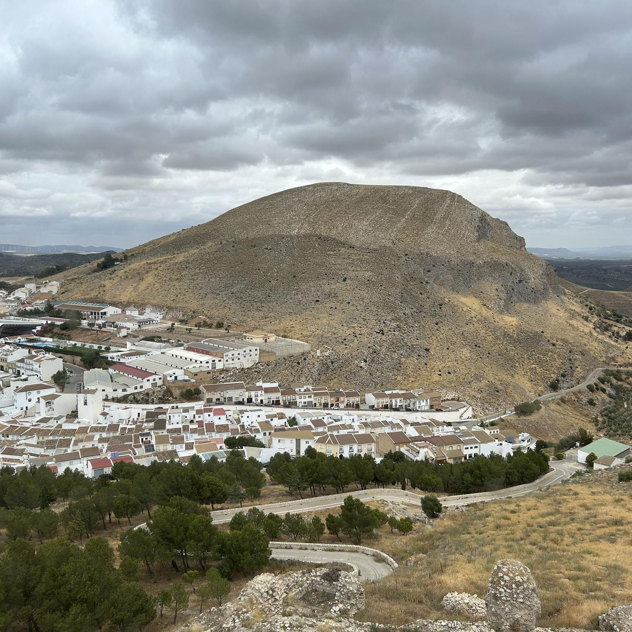
El Padrastro, at 996 meters, is the main peak of Cañete la Real, located very close to its core. Along this stretch of trail you will pass right next to its wall, and you will be able to find different cavities in the rock, in addition to being able to enjoy beautiful views of the landscape.
1
0
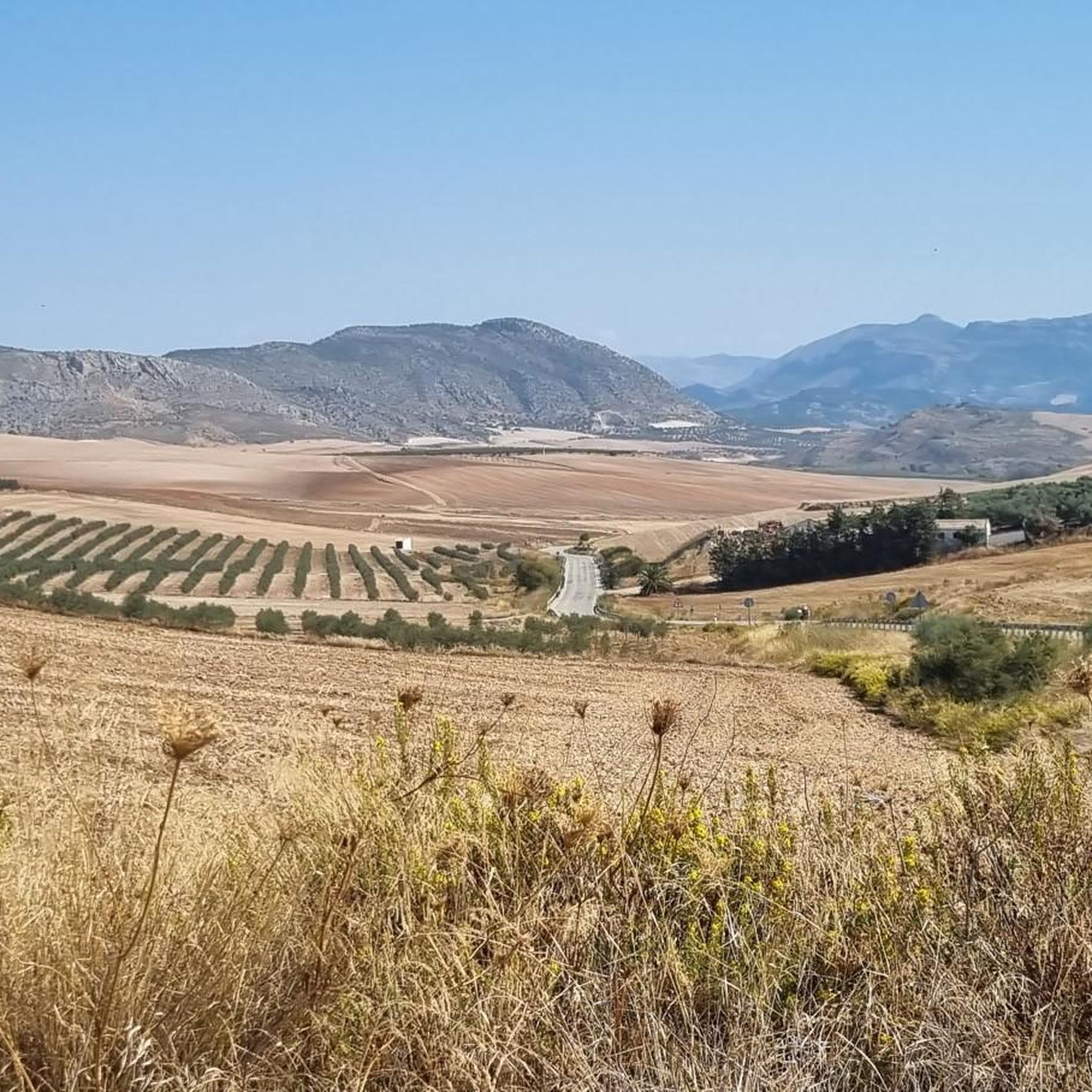
In a small recreational area next to the road you will find this viewpoint from which you can see all the fields that surround the town of Cañete la Real, as well as the mountains in the distance. There are some tables with benches where you can sit and eat something.
1
0
This church, built at the end of the 18th century, stands out for its stone doorway and its characteristic and colorful brick tower, rebuilt by Ambrosio de Figueroa.
2
0
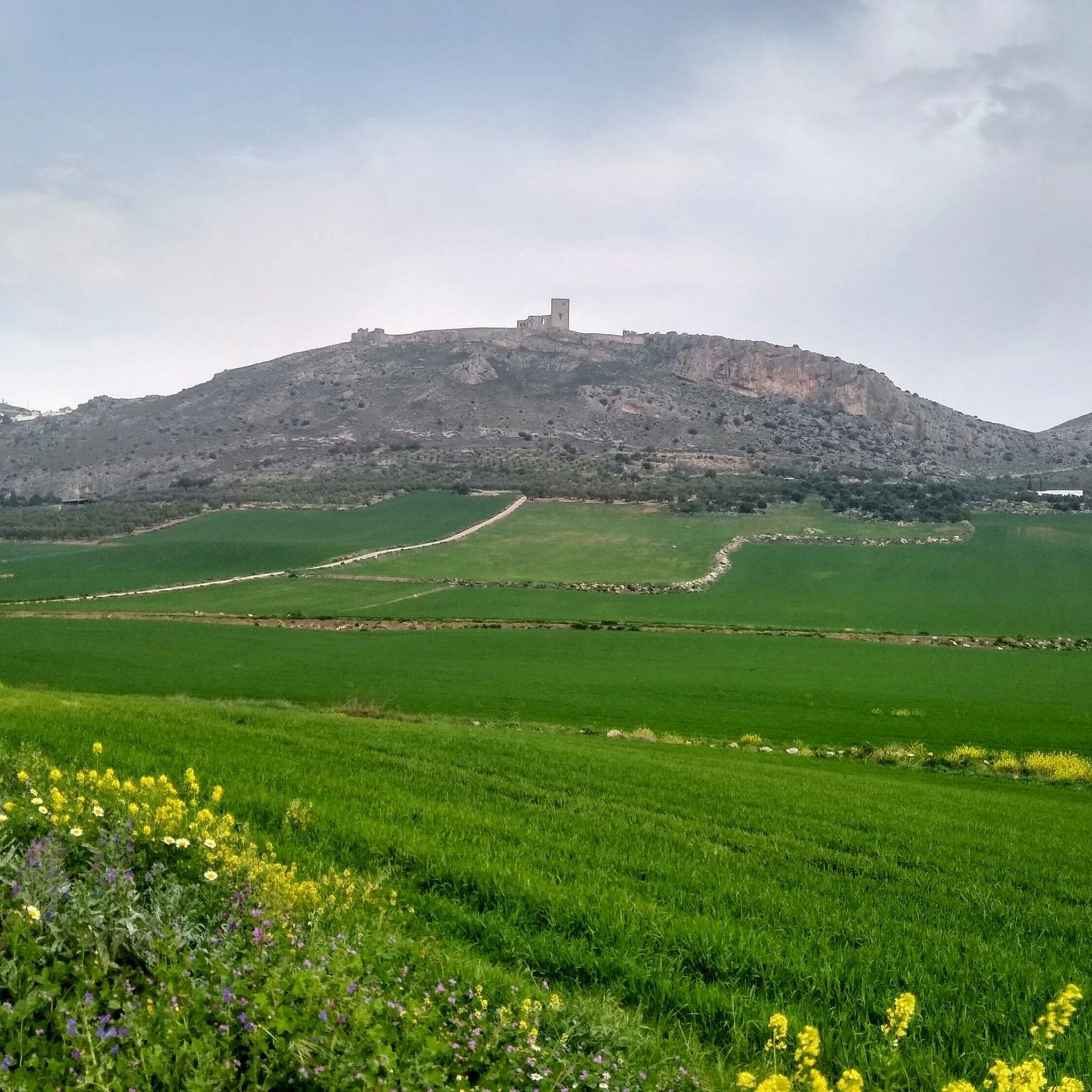
Leaving the town, from this point you can have a general view of the entire town of Cañete la Real with its white houses and its characteristic medieval castle crowning it on top.
1
0

Sevillian locality that is characterized by its white houses and with a quiet square to stop in!
2
0
The Gosque lagoon is a small lagoon located about 2 km northeast of Martín de la Jara. It is a temporary lagoon, which is usually dry during the summer and part of the fall.
1
0
Frequently Asked Questions
How many hiking trails are available around Almargen?
There are 9 hiking trails documented on komoot around Almargen, offering a variety of experiences through the region's diverse landscapes.
Are there any easy hiking trails suitable for beginners or casual walkers?
Yes, Almargen offers several easy routes. For example, the Cerro Sábora Trail is an easy 5.7 km path that provides pleasant views from a local hill.
What is the typical length and duration of hikes in Almargen?
Hikes in Almargen vary in length and duration. You can find shorter routes like the easy 5.7 km Cerro Sábora Trail, which takes about 1 hour 45 minutes. Longer, moderate trails such as the Las Carboneras Trail extend to about 12 km and can take over 3 hours to complete.
Are there any circular walks in the Almargen area?
Yes, several routes around Almargen are circular, allowing you to start and end at the same point. A notable example is the Laguna del Gosque Loop Trail, which is a moderate 12.3 km path exploring the natural surroundings of the lagoon.
What kind of terrain can I expect on Almargen's hiking trails?
The terrain around Almargen is characterized by rolling hills, agricultural plains, and natural lagoons. You'll encounter a mix of open country and more secluded paths, with generally moderate elevation changes.
Are the hiking trails in Almargen suitable for families with children?
Many of the trails in Almargen are suitable for families, especially the easier routes. The varied landscapes, including natural lagoons and gentle hills, offer engaging environments for children to explore. Consider routes with shorter distances and less elevation gain.
Can I bring my dog on the hiking trails in Almargen?
Generally, dogs are welcome on many hiking trails in the Almargen region. However, it's always advisable to keep them on a leash, especially in agricultural areas or near wildlife habitats, and to check for any specific local regulations or signage on individual routes.
What is the best time of year to go hiking in Almargen?
The best time for hiking in Almargen is typically during the spring (March to May) and autumn (September to November) when temperatures are milder and the landscape is vibrant. Summers can be very hot, making early morning or late afternoon hikes preferable, while winters are generally mild but can have occasional rain.
Are there any challenging hikes for experienced trekkers in Almargen?
While Almargen primarily offers easy to moderate trails, some routes provide longer distances and more significant elevation changes for a good workout. For instance, the Las Carboneras Trail is a moderate 12 km route with over 300 meters of ascent, offering a more demanding experience.
What do other hikers say about the trails in Almargen?
The hiking routes in Almargen are well-regarded by the komoot community, holding an average rating of 3.5 stars from 8 reviews. Hikers often appreciate the diverse scenery, from agricultural plains to natural lagoons, and the options for both relaxed strolls and more extended excursions.
Are there any specific natural features or landmarks to look out for on the trails?
The region is known for its natural lagoons, such as Laguna del Gosque, which is a key feature of the Laguna del Gosque Loop Trail. You can also enjoy views from local hills like Cerro Sábora on its namesake trail.
Is parking readily available near the trailheads in Almargen?
Parking availability can vary by trailhead. In general, smaller towns and rural areas like Almargen often have public parking options in or near the village centers, which serve as common starting points for local trails. It's advisable to check specific route details for parking recommendations.
Most popular attractions around Almargen

Get inspired with the komoot mobile app


Explore more
Browse the best Hikes in other regions.
