The best road cycling routes around El Recuenco
32
riders
7
rides
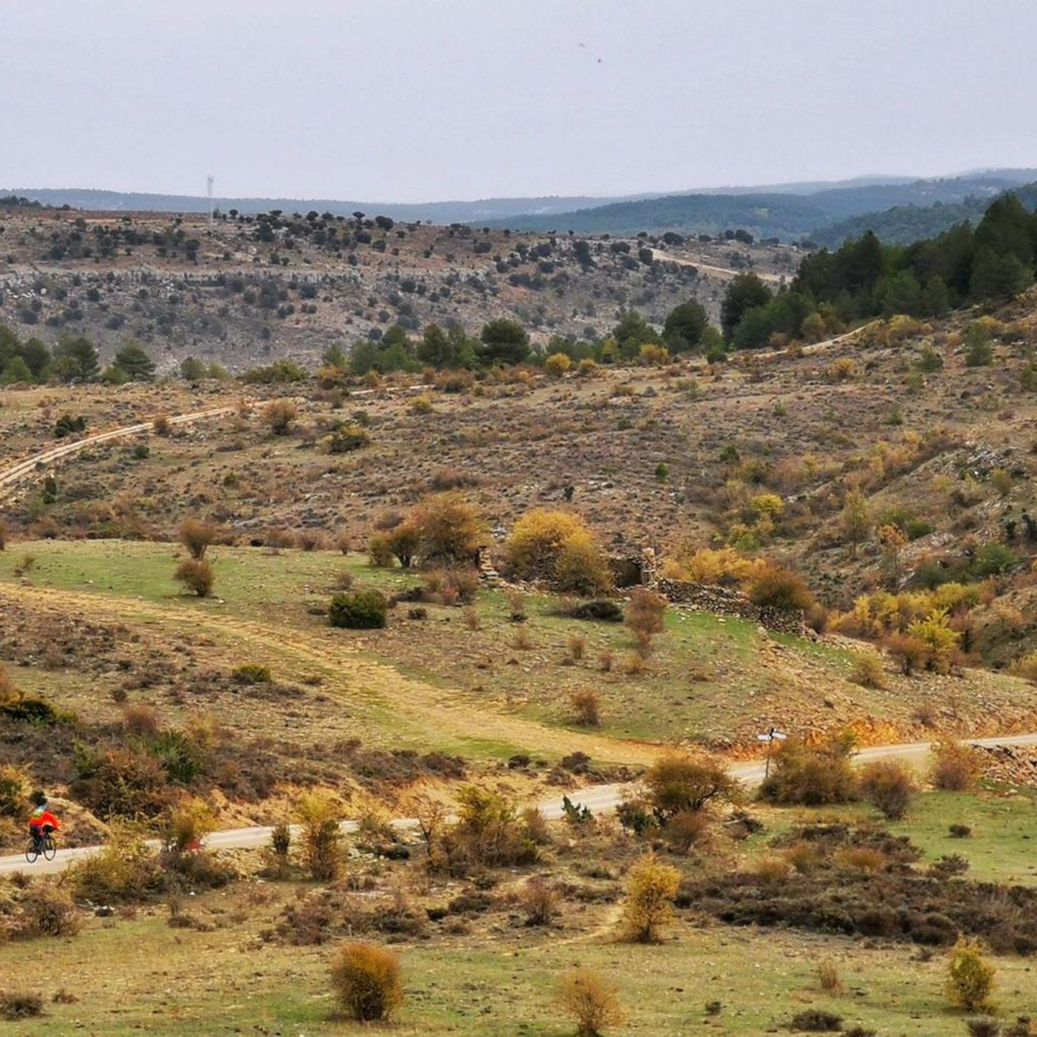
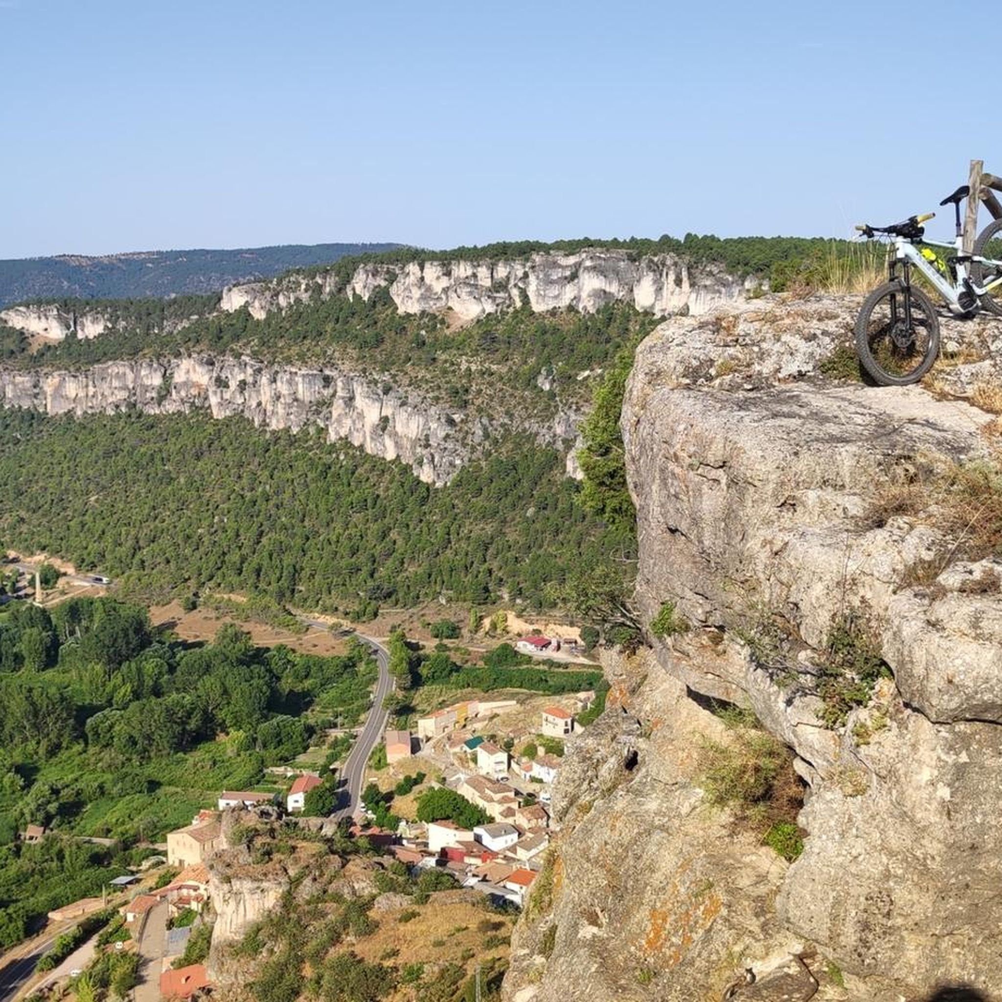
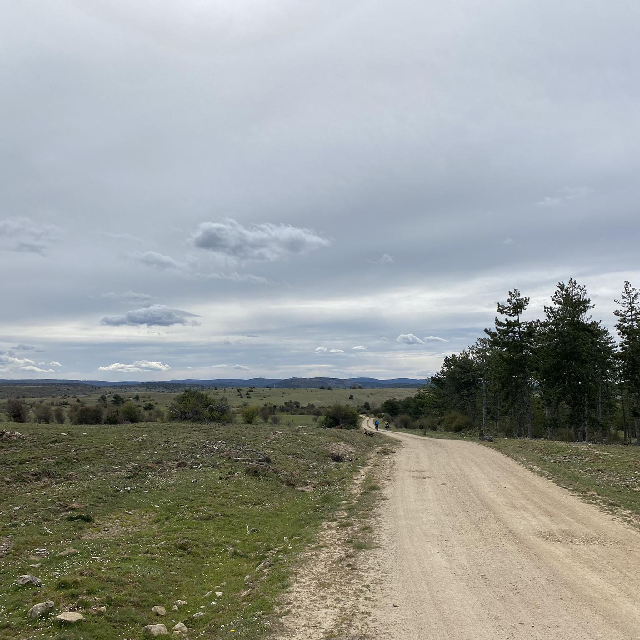
Road cycling routes around El Recuenco traverse a diverse landscape, transitioning from the cultivated fields of Alta Alcarria to the more solitary mountain ranges of Guadalajara. The terrain features elevated hills offering expansive views, significant forest areas with pine and juniper, and river valleys like the Alcantud. This region provides varied topography for road cyclists, including undulating hills and scenic river systems.
Best road cycling routes around El Recuenco
- The most popular road cycling route is Alto Tajo and Arbeteta Castle Loop, a 72.4 miles (116.6 km) trail that takes 5 hours 49 minutes to complete. This challenging route features significant elevation gain through the Alto Tajo region.
- Another top favourite among local road cyclists is From the Lands of Alcarreria to, a moderate 41.4 miles (66.6 km) path. This route offers a journey through the varied landscapes of La Alcarria.
- Local road cyclists also love the Peñalén – Hoz de Beteta loop from Armallones, a 77.8 miles (125.3 km) trail leading through mountain ranges and ravines, often completed in about 6 hours 1 minute.
- Road cycling around El Recuenco is defined by rolling hills, dense forests, and river valleys. The network offers options for different ability levels, from moderate rides to more difficult challenges.
- The guide includes highly-rated routes that showcase the best of the region's landscape. More than 30 road cyclists have used komoot to explore El Recuenco's varied terrain.
Last updated: May 16, 2026
6
riders
117km
05:49
1,860m
1,870m
This difficult 72.4-mile road cycling route through the Alto Tajo Natural Area offers dramatic landscapes and views of Arbeteta Castle.
5
riders
66.6km
03:08
840m
840m
This moderate 41.4-mile mountain biking route from Peralveche explores the Tierras de Alcarreria and Serrania de Cuenca, featuring challengi

Sign up for free
5
riders
125km
06:01
1,730m
1,730m
Hard road ride. Very good fitness required. Mostly well-paved surfaces and easy to ride.
6
riders
75.9km
03:28
840m
840m
Moderate road ride. Good fitness required. Some segments of this route may be unpaved and difficult to ride.
5
riders
35.9km
01:43
430m
430m
Moderate road ride. Good fitness required. Mostly well-paved surfaces and easy to ride.
Get access to more routes and recommendations from other explorers.
Sign up for free
Already have an account?
Our route recommendations are based on thousands of hikes, rides, and runs completed by other people on komoot.
Start today with a free account
Your next adventure awaits.
Login or Signup
Popular around El Recuenco
Tips from the Community

Very nice owner, bathrooms are heated.
0
0

Muslim castle built on a firm rock. Impregnable. for the defense of the Tagus River.
0
0

Beautiful town that is located to the south of the Natural Park of Alto Tajo and that represents a typical town of this western area of the Serrania de Cuenca.
0
0

The parish church of Nuestra Señora de la Asunción is the main monument in Valdeolivas, declared a Bien de Interés Cultural in 1982. It is a Romanesque temple of the XII-XIII siglos with a beautiful tower.
1
0

The parish church of Nuestra Señora de la Asunción is the main monument of Valdeolivas. It is a Romanesque temple from the 12th-13th centuries that has a beautiful tower.
1
0

The Valtablado del Río bridge crosses the waters of the Tagus in an area full of poplars. The great width and shallowness of the river, added to the shade provided by the trees, creates a privileged bathing area on hot days.
2
0

Wonderful bridge located at the entrance of Valtablado with a wonderful well
0
0

A very nice bridge for walkers and cyclists if they ride a bike. It allows you to cross the Tagus River and avoid the road. The view from both bridges is nice, but I prefer the safety of the pedestrian bridge.
1
0
Frequently Asked Questions
How many road cycling routes are available around El Recuenco?
There are 7 road cycling routes documented on komoot for the El Recuenco area, offering diverse experiences for cyclists. These routes range from moderate to difficult, traversing the region's varied landscapes.
What kind of terrain can I expect on road cycling routes in El Recuenco?
The terrain around El Recuenco is quite varied, transitioning from the cultivated fields and plateaus of Alta Alcarria to the more solitary mountain ranges of Guadalajara. You'll encounter elevated hills offering expansive views, significant forest areas with pine and juniper, and picturesque river valleys like the Alcantud. The region is characterized by undulating hills and scenic river systems, providing a dynamic cycling experience.
Are there road cycling routes suitable for different skill levels?
Yes, the routes around El Recuenco cater to various abilities. While there are no easy routes listed, you'll find 5 moderate routes and 2 difficult routes. This allows both intermediate and experienced cyclists to find a suitable challenge.
What are the typical elevation gains on road cycling routes in this area?
The elevation gains vary significantly depending on the route. For example, the challenging Alto Tajo and Arbeteta Castle Loop features an elevation gain of over 1,800 meters. Moderate routes like From the Lands of Alcarreria to typically have around 840 meters of ascent, offering a good workout without being overly strenuous.
Are there any circular road cycling routes in El Recuenco?
Yes, several routes are designed as loops, allowing you to start and finish in the same location. Notable circular routes include the challenging Alto Tajo and Arbeteta Castle Loop, the extensive Peñalén – Hoz de Beteta loop from Armallones, and the shorter El Recuenco Start – Alcantud loop from Alcantud.
What natural features or landmarks can I see along the road cycling routes?
The region is rich in natural beauty and historical charm. You can explore significant forest areas with pine and juniper, and follow river valleys like the Alcantud. Along some routes, you might pass by geological points of interest or cultural landmarks such as the 18th-century Church of the Assumption in El Recuenco. Specific highlights nearby include the Sima de Alcorón Cave, Peña del Arco, and the Valtablado del Río Bridge.
Are there scenic viewpoints along the road cycling routes?
Yes, the elevated hills and varied topography of El Recuenco offer numerous opportunities for scenic views. You can find viewpoints such as the Tormo de la Muesca Viewpoint and the View of Hoz Somera and Los Castillejos Rock Formation, providing expansive vistas of the surrounding mountains, forests, and river valleys.
What is the best time of year for road cycling in El Recuenco?
Given the region's climate, spring and autumn are generally ideal for road cycling in El Recuenco. The weather is typically mild, and the natural landscapes are at their most vibrant. Summer can be warm, especially in the middle of the day, while winter might bring colder temperatures and potentially less predictable conditions.
Are there any particularly challenging road cycling routes for experienced riders?
Absolutely. For experienced cyclists seeking a significant challenge, the Alto Tajo and Arbeteta Castle Loop is a difficult 116.6 km route with over 1,800 meters of elevation gain, taking you through the demanding Alto Tajo region. Another difficult option is the Peñalén – Hoz de Beteta loop from Armallones, a 125.3 km trail with over 1,700 meters of ascent.
Is El Recuenco a good area for road cycling if I prefer less crowded routes?
Yes, the broader Serranía de Cuenca region, which includes El Recuenco, is known for its low population density and minimal car traffic. This makes it an appealing and safe destination for cyclists seeking an immersive natural experience away from busy roads, allowing for a tranquil ride amidst unspoiled natural beauty.
What is the longest road cycling route available?
The longest road cycling route listed is the Peñalén – Hoz de Beteta loop from Armallones, covering 125.3 km and typically taking around 6 hours and 1 minute to complete. This route leads through mountain ranges and ravines, offering a comprehensive tour of the region's diverse landscapes.
What are the typical distances of road cycling routes in El Recuenco?
The routes vary in length to suit different preferences. You can find shorter moderate rides, such as the El Recuenco Start – Alcantud loop from Alcantud at 35.9 km, up to longer, more challenging routes like the Peñalén – Hoz de Beteta loop from Armallones, which spans 125.3 km.
Most popular routes around El Recuenco
Most popular attractions around El Recuenco

Get inspired with the komoot mobile app


Explore more
Browse the best Road cycling routes in other regions.
