The best walks and hikes around Llorac
4.5
(25)
159
hikers
45
hikes
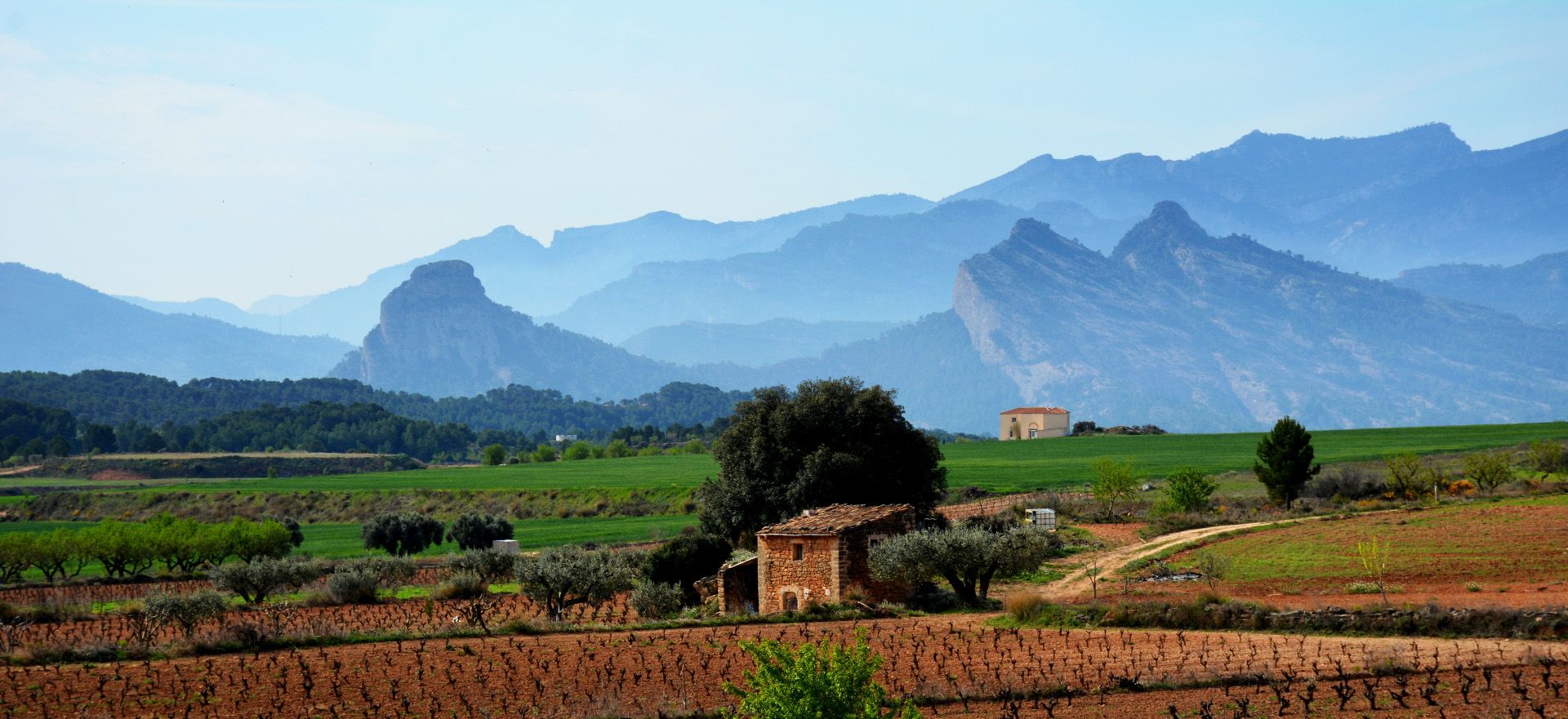
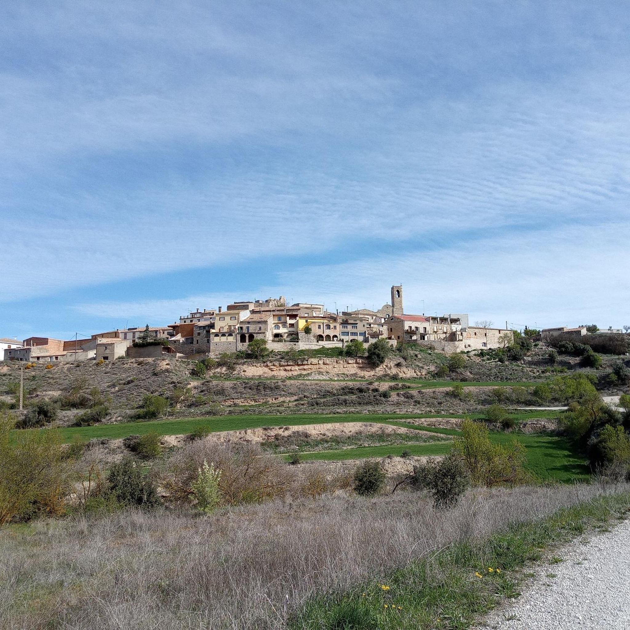
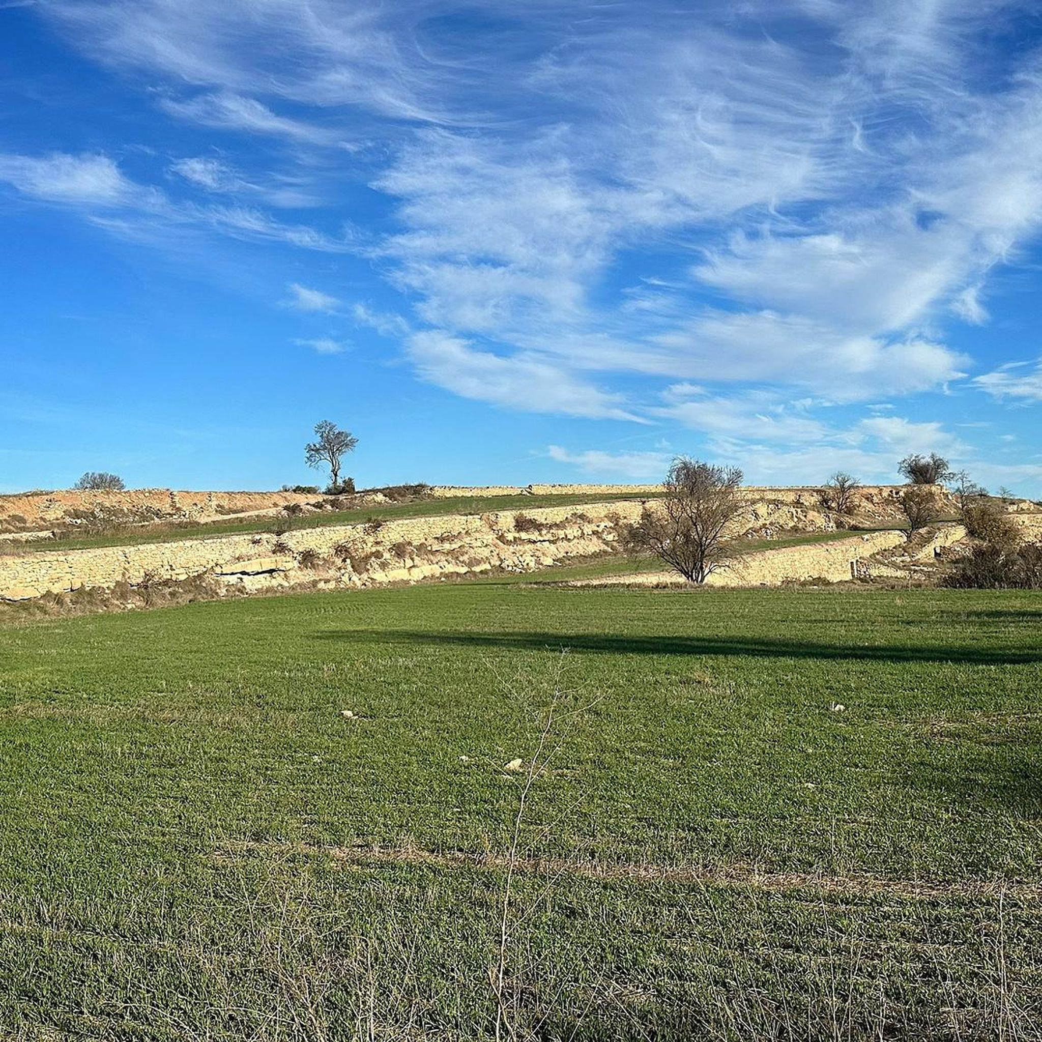
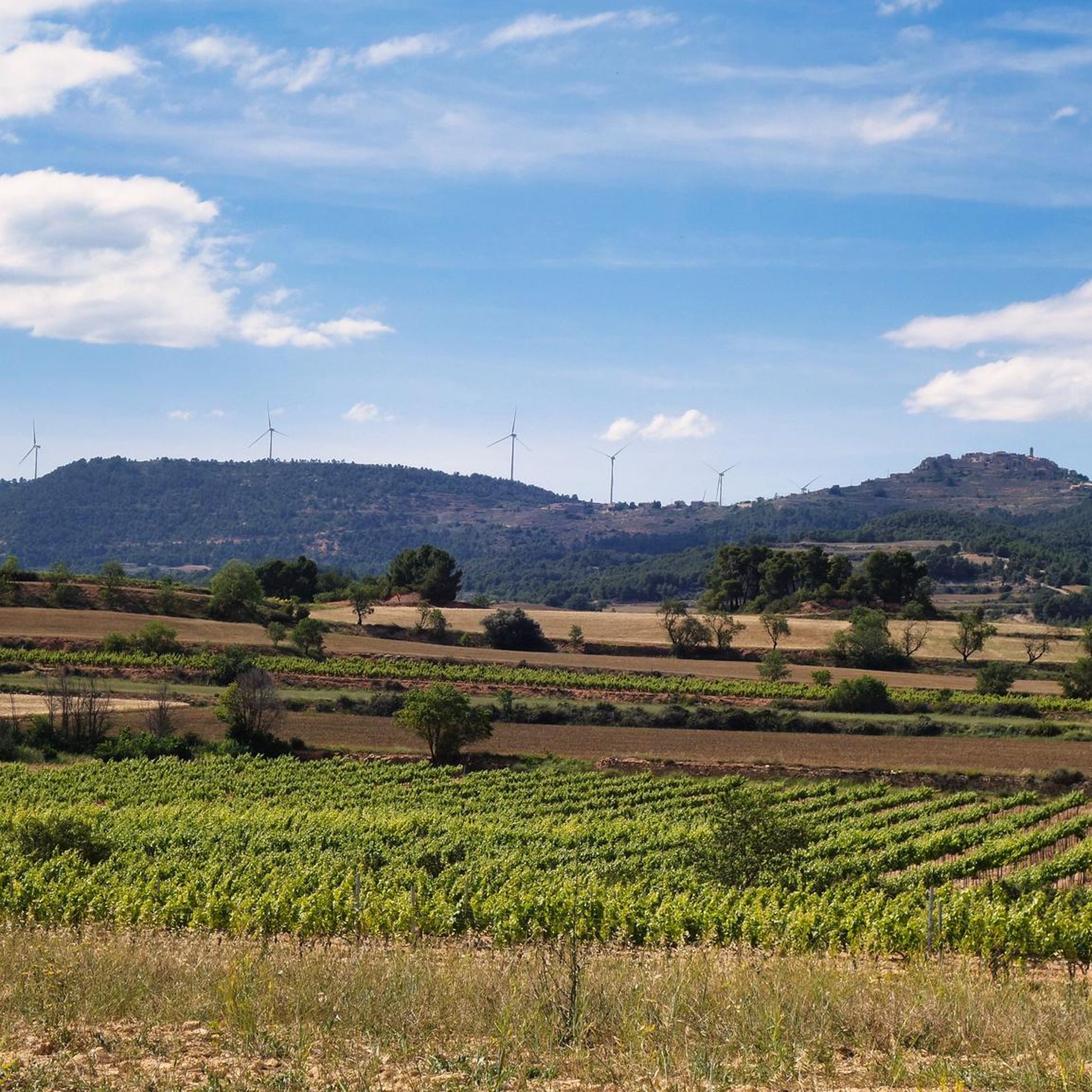
Hiking around Llorac offers access to a landscape characterized by rolling hills, agricultural fields, and river valleys. The region features a mix of open countryside and scattered woodlands, providing varied scenery for outdoor activities. Elevation changes are generally moderate, with some routes encountering more significant ascents and descents across the terrain.
Best hiking trails around Llorac
- The most popular hiking route is Route Terras del Gaià — circular from Santa Coloma de Queralt, a 4.8 miles (7.7 km) trail that takes 2 hours 5 minutes to complete. This moderate route features gentle elevation changes through rural landscapes.
- Another top favourite among local hikers is Valle del Río Corb — circular por Albió, Segura y Vallfogona del Riu Corb, a moderate 9.3 miles (14.9 km) path. This route explores the Corb River valley, passing through small villages and agricultural areas.
- Local hikers also love the Montlac and the Emita de Sant Miquel de Montclar — circular by Guialmons, Biure and Santa Coloma de Queralt, a 16.7 miles (26.8 km) trail leading through varied countryside with notable elevation gain, often completed in about 7 hours 35 minutes.
- Hiking around Llorac is defined by its river valleys, rolling hills, and agricultural landscapes. The network of trails offers options for different ability levels, from easy walks to more challenging long-distance routes.
- The routes in Llorac are highly rated by the komoot community with an average score of 4.4 stars from over 20 reviews. More than 160 hikers have used komoot to explore Llorac's varied terrain.
Last updated: May 23, 2026
4.5
(2)
19
hikers
7.72km
02:05
100m
100m
Moderate hike. Good fitness required. Easily-accessible paths. Suitable for all skill levels.
5.0
(2)
3
hikers
14.9km
04:23
440m
440m
Moderate hike. Good fitness required. Easily-accessible paths. Suitable for all skill levels.

Sign up for free
1
hikers
Hard hike. Very good fitness required. Easily-accessible paths. Suitable for all skill levels.
5.0
(1)
6
hikers
6.01km
01:40
110m
110m
Easy hike. Great for any fitness level. Easily-accessible paths. Suitable for all skill levels.
4.0
(2)
3
hikers
Easy hike. Great for any fitness level. Easily-accessible paths. Suitable for all skill levels.
Get access to more routes and recommendations from other explorers.
Sign up for free
Already have an account?
Our route recommendations are based on thousands of hikes, rides, and runs completed by other people on komoot.
Start today with a free account
Your next adventure awaits.
Login or Signup

Other adventures around Llorac

Tips from the Community

In addition to the views of the hilltop village of Albio, the views from Albio itself are also very beautiful.
0
0

The Vallfogona de Riucorb spa was built in 1901 to take advantage of the thermal waters that spring up in the area. It is one of several spas that are spread throughout this region.
0
0

Albiò, crossing point in La Segarra. Visit between March and May, beyond that the atmosphere will be very dry.
0
0

The parish church of the nucleus of l'Ametlla de Segarra (Montoliu de Segarra) appears for the first time in the records of the bishopric of Vic in the 11th century. Located within the urban nucleus, it is attached to the old rectory, it has a single nave with a pointed barrel vault. The bell tower, square and with four eyes structured in semicircular arches, has a clock and is topped by a pinnacle.
0
0
L'Ametlla de Segarra is a town belonging to the municipality of Montoliu de Segarra, in the Segarra region, province of Lleida. It is linked to the castle of the same name, appearing in records at the end of the 11th century. It is located in an area with a tradition of cereal farming and other rainfed crops such as olive groves and almond trees. You can also find vineyards, particularly organic vineyards that produce Comalats wine, which was the old name of the region. Of its heritage, the church of Sant Pere and the tower of the old castle stand out.
0
0
The tower of l'Ametlla de Segarra is not complete. Here you can see remains of the castle tower, the only structure preserved from the fortress. It has its origins in the 11th century, when this area was under the rule of the Counts of Barcelona.
0
0

Hermitage that is located close to the mountain that bears the same name. The environment is beautiful to take a break and see the whole that surrounds it.
0
0
At the top of the Serra dels Clots is the mountain of Montclar which reaches almost 1000 meters high in a mountain that allows us to observe spectacular views from the top.
0
0
Frequently Asked Questions
How many hiking trails are available around Llorac?
There are over 45 hiking trails available around Llorac, offering a diverse range of experiences for different skill levels. The region features a mix of easy walks, moderate paths, and more challenging routes through its rolling hills and river valleys.
What kind of terrain can I expect when hiking in Llorac?
Hiking in Llorac offers a landscape characterized by rolling hills, agricultural fields, and river valleys. You'll find a mix of open countryside and scattered woodlands, with generally moderate elevation changes, though some routes include more significant ascents and descents.
Are there easy hiking options in Llorac?
Yes, Llorac offers 6 easy hiking routes. These trails are generally shorter with minimal elevation gain, perfect for a relaxed stroll. An example is the Countryside Around Albió – Albió loop from Albió, which is just over 3.7 miles (6 km) long.
What are some challenging hikes around Llorac?
For those seeking a challenge, Llorac has 5 difficult routes. One notable option is the Montlac and the Emita de Sant Miquel de Montclar — circular by Guialmons, Biure and Santa Coloma de Queralt, a 16.7-mile (26.8 km) trail with significant elevation gain, typically taking over 7 hours to complete.
Are there circular hiking routes available in Llorac?
Many of the trails in Llorac are circular, allowing you to start and end your hike in the same location. An example is the Valle del Río Corb — circular por Albió, Segura y Vallfogona del Riu Corb, which explores the Corb River valley.
What do other hikers say about the trails in Llorac?
The hiking trails in Llorac are highly rated by the komoot community, with an average score of 4.4 stars from over 20 reviews. Hikers often praise the varied terrain, the peaceful rural landscapes, and the well-maintained paths that explore the region's natural beauty.
What are some interesting places to see along the hiking trails in Llorac?
While hiking around Llorac, you can discover several points of interest. Consider visiting the historic Corral del Monjo, enjoying the Views of Albió, or exploring the charming settlement of Guimerà. These attractions offer glimpses into the region's heritage and natural beauty.
Are there any historical sites or landmarks to explore while hiking?
Yes, the Llorac area is rich in history. You can find landmarks such as the Sant Miquel de Montclar religious building, or explore the historic settlements of Rocafort de Queralt and L'Ametlla de Segarra. The Guimerà Castle is another significant historical site nearby.
Can I bring my dog on the trails in Llorac?
Most hiking trails in the Llorac region are dog-friendly, allowing you to enjoy the outdoors with your canine companion. However, it's always recommended to keep dogs on a leash, especially when passing through agricultural areas or near livestock, and to carry water for them.
When is the best time of year to go hiking in Llorac?
The best time to hike in Llorac is typically during spring (April-June) and autumn (September-November) when the weather is mild and pleasant. Summers can be hot, especially in open areas, while winters are generally cool but still offer opportunities for hiking on clear days.
Is there public transport access to the hiking areas around Llorac?
Public transport options directly to trailheads in the rural Llorac area can be limited. It's often advisable to travel by car to reach many of the starting points for hikes. Some larger nearby towns may have bus connections, but local access to specific trails might require a short drive or taxi.
Where can I park when hiking in Llorac?
Parking for hikes in Llorac is generally available in or near the small villages and towns that serve as starting points for many routes. Look for designated parking areas or roadside spaces, being mindful not to obstruct local traffic or private property. Always check local signage for any restrictions.
Are there opportunities for wild swimming near Llorac's hiking trails?
Given the region's river valleys, such as the Corb River, there may be natural spots suitable for wild swimming. However, these are often informal and not officially monitored. Always exercise caution, check water conditions, and be aware of private property or environmental regulations before entering the water.
Most popular attractions around Llorac

Get inspired with the komoot mobile app


Explore more
Browse the best Hikes in other regions.
