The best walks and hikes around Vega De Espinareda
4.3
(68)
514
hikers
24
hikes
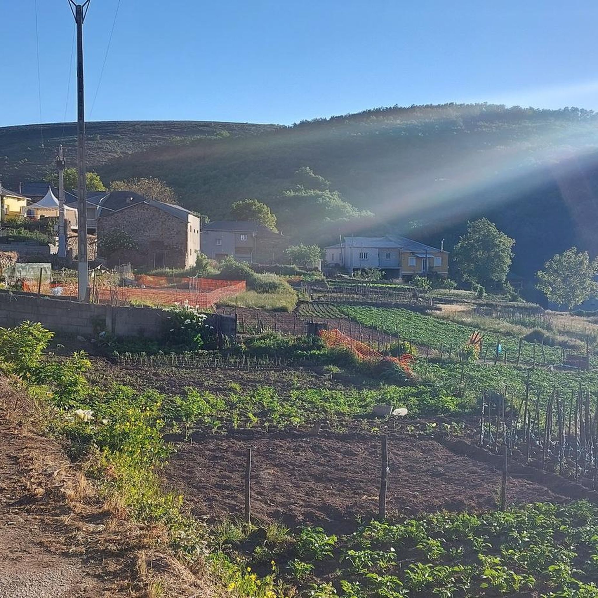
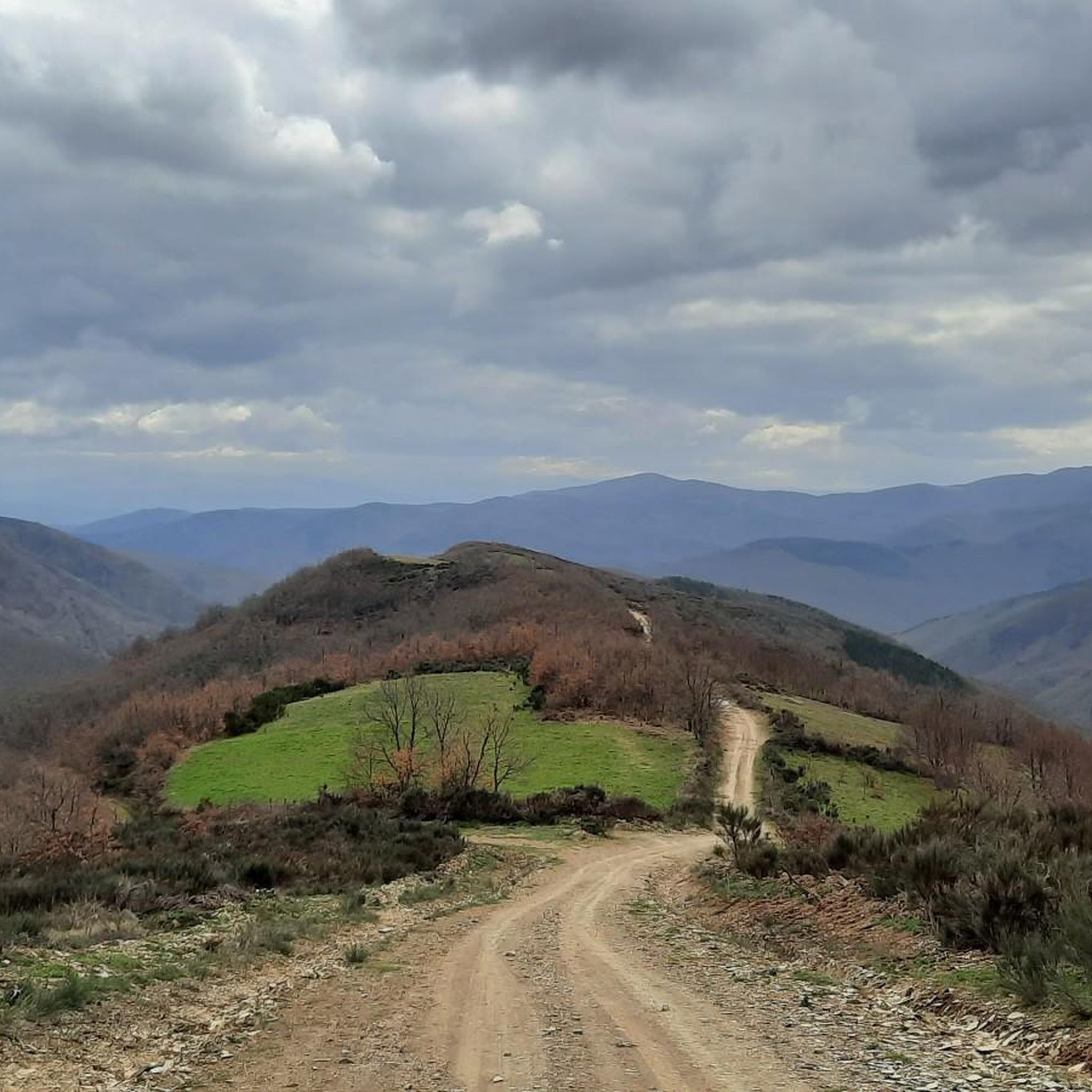
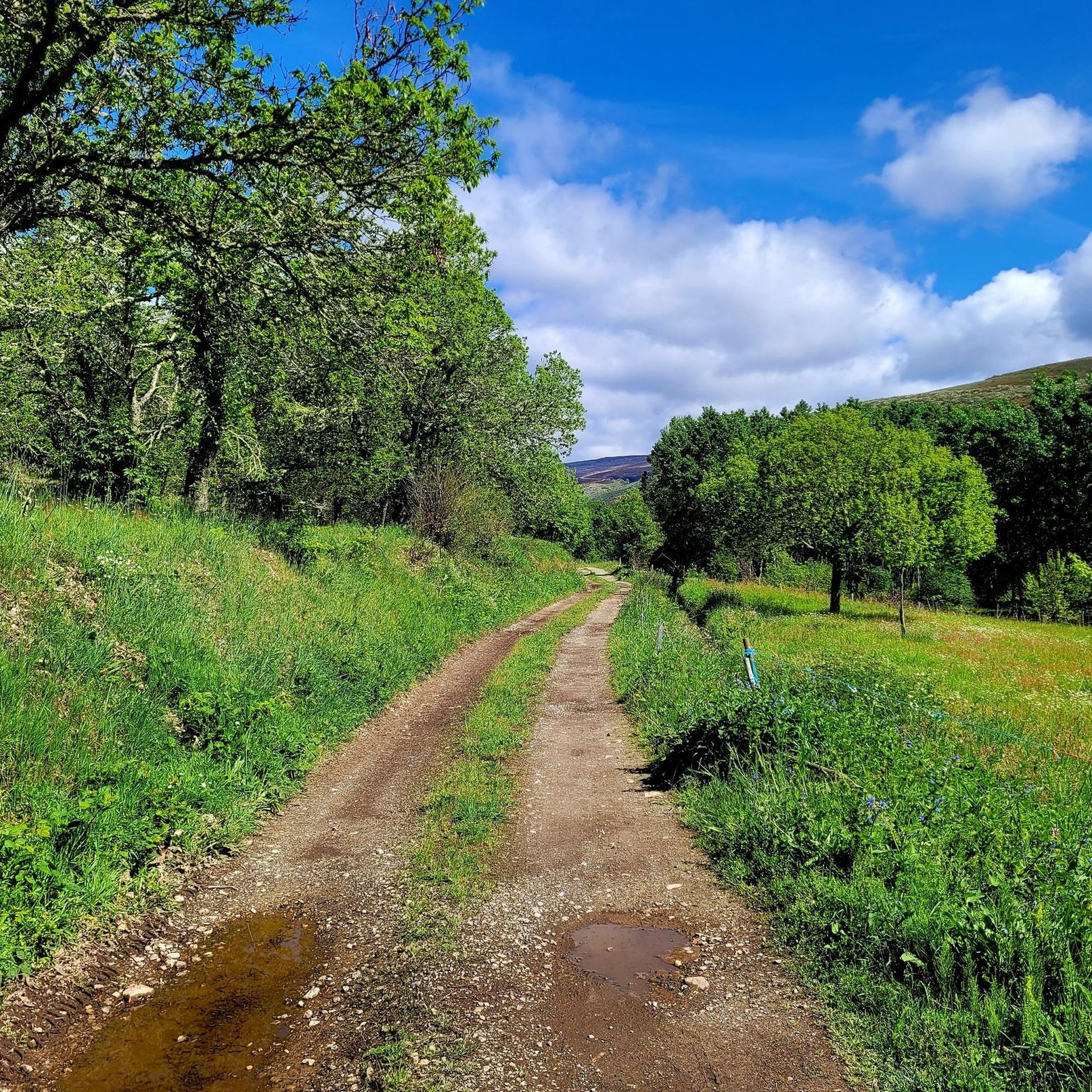
Hiking around Vega De Espinareda offers access to diverse natural environments within Spain's El Bierzo region, part of the Los Ancares Leoneses Biosphere Reserve. The area features a green, hilly terrain with altitudes reaching nearly 2000 meters, characterized by mountains and valleys. Rivers such as the Cúa, Ancares, and Burbia carve through the landscape, while extensive forests of ancient chestnut, oak, and holm oak contribute to the lush greenery. This region provides a variety of natural features for outdoor exploration.
…Last updated: November 1, 2026
4.0
(4)
50
hikers
13.0km
04:44
830m
830m
Hard hike. Good fitness required. Sure-footedness, sturdy shoes and alpine experience required.
4.7
(7)
29
hikers
18.9km
05:59
770m
770m
Hard hike. Very good fitness required. Easily walkable paths.

4.6
(9)
74
hikers
12.7km
04:48
870m
870m
Moderate hike. Good fitness required. Easily walkable paths.
4.9
(7)
39
hikers
14.3km
04:17
440m
440m
Moderate hike. Good fitness required. Easily walkable paths.
5.0
(5)
46
hikers
6.36km
02:13
340m
340m
Moderate hike. Good fitness required. Easily walkable paths.
Get access to more routes and recommendations from other explorers.
Already have an account?
Our route recommendations are based on thousands of hikes, rides, and runs completed by other people on komoot.
Start today with a free account
Your next adventure awaits.
Tips from the Community

The hostel is abandoned but it is a good place to park.
0
0

An incredible high mountain gravel route through the Sierra de Los Ancares passing the Campa de Tres Bispos before descending into the valley below. The views are spectacular.
1
0
Piornedo is a magical mountain town with unique traditional houses. Well worth the visit to see the heritage and history of mountain life.
2
0

Accommodation to sleep in the heart of the Os Ancares Natural Park.
1
0
At an altitude of 1,794 meters, at the point where Galicia delimits Castilla and León, the top of Pico dos Tres Bispos offers beautiful views over the Serra dos Ancares.
4
1
Pico dos Lagos, also known as Pico Lanza, is a mountain in the Sierra de Ancares. With just over 2,000 meters of altitude, the peak rises to the north of Puebla de Lillo, right on the border between the communities of Galicia and León.
4
0
Located at an altitude of 1,935 meters, Pico del Mostallar or Mustallar is the highest and most emblematic peak in Los Ancares and in the entire province of Lugo.
4
0
Frequently Asked Questions
How many hiking trails are available around Vega De Espinareda?
There are over 20 hiking trails in the Vega De Espinareda area, offering a diverse range of experiences. The komoot community has rated these routes highly, with an average score of 4.4 stars from more than 50 reviews.
Are there easy hiking trails suitable for beginners or families?
Yes, Vega De Espinareda offers several easy and moderate trails. While the region is known for its mountainous terrain, there are options suitable for various ability levels. For example, the Cacabelos River Beach – Viña Los Almendros Cabin loop from Castro de la Ventosa is a moderate route that follows the river, offering a less strenuous experience.
What are some challenging hikes for experienced trekkers in the region?
For experienced hikers seeking a challenge, the area provides several difficult routes. The Pico O Mostallar – circular from Piornedo – Sierra de Ancares is a difficult 13.0 km trail with significant elevation gain. Another demanding option is the Pico dos Tres Bispos Loop Trail, an 18.9 km path offering expansive views across high peaks.
When is the best time of year to go hiking in Vega De Espinareda?
Vega De Espinareda experiences a Mediterranean climate with warm, dry summers and mild, wet winters. Spring and autumn are generally ideal for hiking, offering pleasant temperatures and lush scenery. Summers can be warm, but the rivers and forests provide cooler spots. Winter hiking is possible, but higher altitudes may experience snow and colder conditions.
Are there opportunities for swimming near the hiking routes?
Yes, the region is characterized by rivers like the Cúa, Ancares, and Burbia. The fluvial beach on the River Cúa is a popular spot for swimming during the summer months, offering a refreshing break after a hike.
What kind of natural landscapes can I expect to see while hiking?
You can expect a diverse range of natural beauty. The area features a green and hilly terrain with mountains and valleys, extensive forests of ancient chestnut, oak, and holm oak trees, and picturesque river valleys. It's part of the Biosphere Reserve of Los Ancares Leoneses, ensuring well-preserved natural environments.
What historical or cultural attractions can I find near the hiking trails?
The region is rich in history. You can explore the significant 10th-century Monasterio de San Andrés, an ancient Roman Bridge over the River Cúa, and prehistoric rock paintings. The remains of the Castro de Piñera, an unfinished fortress, also offer a glimpse into the area's past.
Are there any circular hiking routes available?
Yes, many routes in Vega De Espinareda are circular, allowing you to start and end at the same point. Examples include the Pico O Mostallar – circular from Piornedo – Sierra de Ancares and the Laguna de San Pedro Mallo – circular from Matarrosa del Sil via Cerro de la Laguna, which is a moderate 10.8 km loop.
What kind of wildlife might I encounter?
As part of the Red Natura 2000 and a Special Protection Area for Birds (ZEPA), the region boasts rich fauna. You might spot chamois, roe deer, mountain goats, eagles, and vultures. Endangered species like the brown bear and capercaillie also inhabit these areas, though they are more elusive.
Are there any specific points of interest or viewpoints along the trails?
Absolutely. The dramatic Cúa Canyon offers stunning vistas, and features like the Peña de la Tía Juana provide serene spots for disconnecting. Many trails lead to panoramic views of the mountainous landscapes and dense forests. You can also explore mountain passes such as Puerto de Ancares.
Can I bring my dog on the hiking trails in Vega De Espinareda?
While specific regulations for each trail may vary, generally, dogs are welcome on many hiking trails in natural areas like Vega De Espinareda. It's always recommended to keep your dog on a leash, especially in areas with wildlife or livestock, and to follow local signage regarding pet policies.
What do other hikers enjoy the most about hiking in Vega De Espinareda?
The area is highly rated by the komoot community, with an average score of 4.4 stars. Reviewers often praise the diverse natural environments, from mountainous landscapes and dense forests to picturesque river valleys. The variety of trails, catering to different difficulty levels, is also frequently highlighted.
Most popular attractions around Vega De Espinareda

Get inspired with the komoot mobile app


Explore more
Browse the best Hikes in other regions.
