The best road cycling routes around Caudete De Las Fuentes
4.9
(17)
972
riders
14
rides
Road cycling routes around Caudete De Las Fuentes are set within a high plateau in the interior of Valencia, offering varied terrain for cyclists. The region is defined by a double river basin, encompassing the Vega del Magro to the north and the Ramblas del Cabriel to the south. The Cabriel River, a prominent natural feature, traverses the comarca and forms a natural boundary for the province. This landscape provides diverse cycling opportunities, from riverine paths to elevated sections.
Best…
Last updated: May 12, 2026
32
riders
69.4km
03:26
550m
550m
Moderate road ride. Good fitness required. Mostly well-paved surfaces and easy to ride.
27
riders
Moderate road ride. Good fitness required. Some segments of this route may be unpaved and difficult to ride.

Sign up for free
29
riders
49.3km
02:35
630m
630m
Moderate road ride. Good fitness required. Mostly well-paved surfaces and easy to ride.
23
riders
87.0km
04:18
1,130m
1,130m
Hard road ride. Very good fitness required. Mostly well-paved surfaces and easy to ride.
14
riders
46.2km
01:56
310m
310m
Moderate road ride. Good fitness required. Mostly well-paved surfaces and easy to ride.
Get access to more routes and recommendations from other explorers.
Sign up for free
Already have an account?
Our route recommendations are based on thousands of hikes, rides, and runs completed by other people on komoot.
Start today with a free account
Your next adventure awaits.
Login or Signup


Tips from the Community

Starting at the roundabout on the outskirts of Utiel, it's 11.5 km to climb 460m, which leaves an average gradient of 4%, where we have the first 6km with 150m at 2.5% to warm up the engines (although this part is busier), and then the last 5.5km which take the prize of the last 310m leaving this section quieter from cars, but with an average of 5.6% which also, gets steeper as it progresses.
0
0

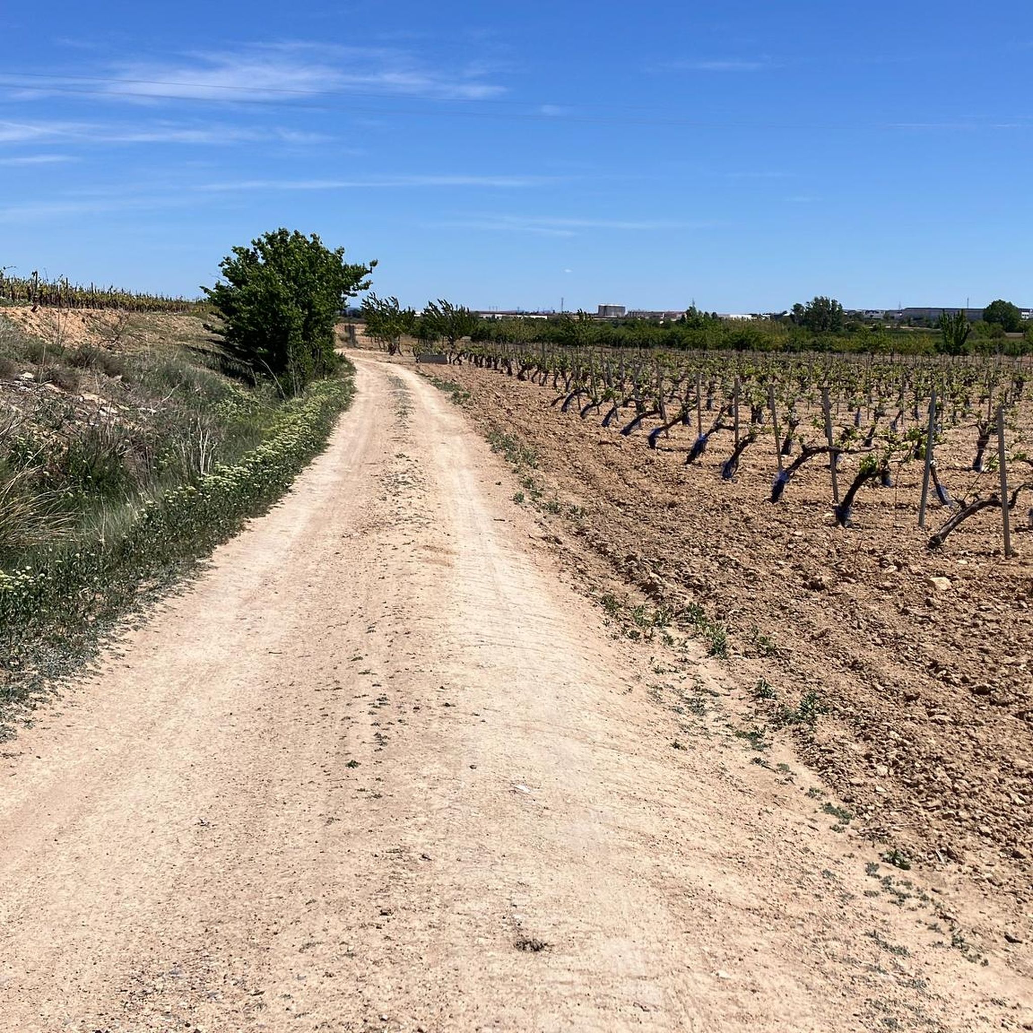
Leaving La Loberuela towards the track, the path begins clearly and well defined with trail signs and small cairns indicating directions before entering the rural road between fields and hills.
0
0
This village is located on a hill between two ravines, with houses scattered around the old hermitage of San José, which in summer also serves as a meeting place for the residents.
0
0
The entrance to the village of Camporrobles leads into a typical rural village of the Utiel-Requena region, with its parish church of Our Lady of the Assumption and its bell tower visible from afar, surrounded by traditional houses and streets that lead to the village center. It is a peaceful and pleasant place, ideal for a break, stretching your legs, and recharging your batteries before continuing your journey.
0
0

Viewpoint next to the old N-III highway After passing the engineer's house, a turnoff leads to the viewpoint located above the old N-III highway. Sweeping views of the reservoir from a high, accessible point.
4
0


Nice and curious place with a tower and a viewpoint.
0
0

Be careful...I had a puncture here due to bad road surfaces
0
0
Frequently Asked Questions
What kind of terrain and difficulty can I expect on road cycling routes around Caudete de las Fuentes?
The region around Caudete de las Fuentes is part of a high plateau in the interior of Valencia, offering varied terrain. You'll find routes that traverse a double river basin, encompassing the Vega del Magro to the north and the Ramblas del Cabriel to the south, with the Cabriel River itself being a prominent feature. This means a mix of riverine paths and elevated sections. Routes range from easy to difficult, with 5 easy, 7 moderate, and 1 difficult route available.
Are there road cycling routes suitable for beginners or more experienced cyclists?
Yes, Caudete de las Fuentes offers options for various skill levels. There are 5 easy routes perfect for beginners or those looking for a relaxed ride. For more experienced cyclists seeking a challenge, there is 1 difficult route, and 7 moderate routes provide a good balance of effort and enjoyment.
What natural features or landmarks can I see while cycling in the region?
The area is rich in natural beauty. You can explore the spectacular canyons and riverine landscapes of the nearby Hoces del Cabriel Natural Park. The Cabriel River itself is a significant natural boundary. Historically, the area is known for its water sources, including 'La Fuente Grande' and 'La Fuente Chica'. You might also pass through towns like Venta del Moro and Villargordo del Cabriel, which are strategic starting points for exploring these natural wonders.
Are there any routes with particularly scenic viewpoints?
Absolutely. The Contreras Viewpoint loop from Caudete de las Fuentes is a popular moderate route specifically designed to include a viewpoint, providing scenic vistas of the surrounding landscape. Additionally, ascents to points like La Bicuerca, accessible from the GR-7 trail, offer panoramic views.
When is the best time of year for road cycling in Caudete de las Fuentes?
While specific seasonal data isn't provided, the Mediterranean climate of Valencia generally makes spring (April-May) and autumn (September-October) ideal for cycling, offering pleasant temperatures and less extreme weather. Summers can be hot, and winters mild, but it's always advisable to check local weather forecasts before planning your ride.
Are there any long-distance road cycling routes available?
Yes, several routes offer significant distances. For example, the Villargordo del Cabriel – Venta del Moro loop from Caudete de las Fuentes covers 43.1 miles (69.4 km), and the Villargordo del Cabriel – Contreras Viewpoint loop from Caudete de las Fuentes extends to 52.8 miles (84.9 km), offering a challenging long-distance ride.
What do other road cyclists enjoy the most about road cycling in Caudete de las Fuentes?
The road cycling routes in Caudete de las Fuentes are highly rated by the komoot community, with an average score of 4.9 stars from over 10 reviews. Cyclists often praise the varied terrain, the scenic beauty of the high plateau and river basins, and the well-maintained network of routes that cater to different ability levels.
Are there any circular road cycling routes in the area?
Yes, many of the routes around Caudete de las Fuentes are designed as loops, allowing you to start and end in the same location. Examples include the Villargordo del Cabriel – Venta del Moro loop from Caudete de las Fuentes and the El Negrete Pass – GR 238 Trail loop from Caudete de las Fuentes.
Can I combine road cycling with other activities, like exploring local culture or gastronomy?
Absolutely. Beyond cycling, the region is steeped in history, home to the Iberian archaeological site of Kelin. It's also renowned for its wine culture, particularly red wines made from the Bobal grape. Many wineries offer opportunities for visits and tastings, making it possible to combine your ride with cultural and gastronomic experiences.
Are there any specific trails or passes that are popular among road cyclists?
The El Negrete Pass – GR 238 Trail loop from Caudete de las Fuentes is a popular route that leads through a pass and along a marked trail, offering a distinct cycling experience. The GR-7 trail, accessible from the road to Fuenterrobles, also provides opportunities for longer cycling adventures.
What is the total number of road cycling routes available in Caudete de las Fuentes?
There are 13 road cycling routes documented around Caudete de las Fuentes, offering a diverse range of options for cyclists.
Most popular routes around Caudete De Las Fuentes
Most popular attractions around Caudete De Las Fuentes

Get inspired with the komoot mobile app


Explore more
Browse the best Road cycling routes in other regions.
