The best mountain hikes around Callosa D'En Sarrià
4.9
(11)
46
hikers
9
hikes
Mountaineering routes around Callosa D'En Sarrià traverse a landscape characterized by prominent mountain ranges such as Serra de Bèrnia, Serra d'Aitana, and Serra Gelada. The region features rugged peaks, rocky outcrops, and varied elevation changes, providing diverse terrain for mountaineering. These routes often lead through natural parks and offer expansive views of the surrounding valleys and coastline. The area is suitable for exploring the mountainous environment of the Alicante province.
Best mountaineering routes around Callosa D'En Sarrià
- The most popular…
Last updated: July 21, 2026
4.7
(3)
25
hikers
11.4km
04:43
580m
580m
Hard mountaineering route. Good fitness required. Sure-footedness, sturdy shoes and alpine experience required.
5.0
(3)
3
hikers
Moderate mountaineering route. Good fitness required. Mostly accessible paths. Sure-footedness required.

Sign up for free
6
hikers
11.4km
05:01
650m
650m
Hard mountaineering route. Very good fitness required. Mostly accessible paths. Sure-footedness required.
4
hikers
7.32km
02:13
220m
220m
Moderate mountaineering route. Good fitness required. Mostly accessible paths. Sure-footedness required.
5.0
(2)
5
hikers
Hard mountaineering route. Good fitness required. Sure-footedness, sturdy shoes and alpine experience required.
Get access to more routes and recommendations from other explorers.
Sign up for free
Already have an account?
Our route recommendations are based on thousands of hikes, rides, and runs completed by other people on komoot.
Start today with a free account
Your next adventure awaits.
Login or Signup
Tips from the Community

Trails well signposted
1
1
Sturdy footwear advantageous, trails well-equipped
1
1

Getting here is tough, there are several complicated ramps, but you can get there.
0
0


good walking shoes required
0
0

The altitude of Alto del Gobernador is about 435 meters. We will reach the top after walking 2100 meters from the beginning of the Sierra Helada Natural Park.
12
0
The altitude of Alto del Gobernador is about 435 metres. We will reach the summit after walking 2,100 metres from the start of the Sierra Helada Natural Park.
11
0
Frequently Asked Questions
What is the overall difficulty level of mountaineering routes around Callosa D'En Sarrià?
The mountaineering routes in this region are generally challenging. There are 6 difficult routes and 4 moderate routes available, offering significant elevation changes and rugged terrain. There are no routes classified as 'easy' in this selection, so a good level of fitness and experience is recommended.
Are there any moderate mountaineering routes suitable for those with some experience?
Yes, there are several moderate routes. For example, the Penya Alta – Alt de Tagarina loop from Serra d'Aitana is a popular choice, exploring the high points of Serra d'Aitana with rewarding vistas. Another option is the Highest Peak at the Antenna – Governor's Height loop from Parc Natural de la Serra Gelada, which offers coastal mountain views.
What is the typical length and duration of mountaineering routes in the area?
Route lengths vary, but most fall within the 4 to 7-mile (6.5 to 11 km) range. Durations can range from approximately 2.5 hours for shorter, moderate routes to over 4.5 hours for more difficult and longer trails. For instance, the Penyes del Portitxol – Bèrnia loop from Serra de Bèrnia is 6.9 miles (11.1 km) and takes about 4 hours 38 minutes.
What kind of terrain can I expect on these mountaineering routes?
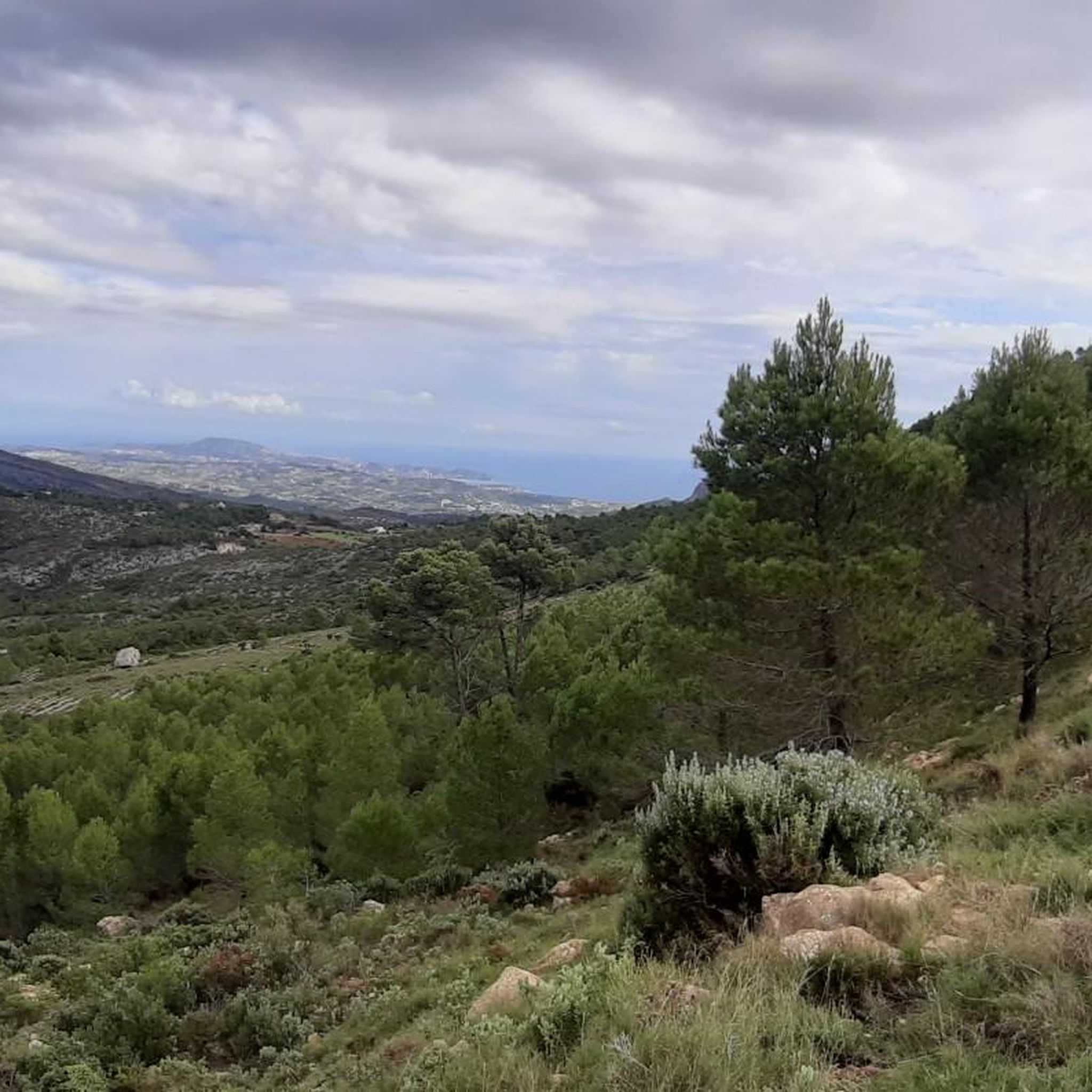
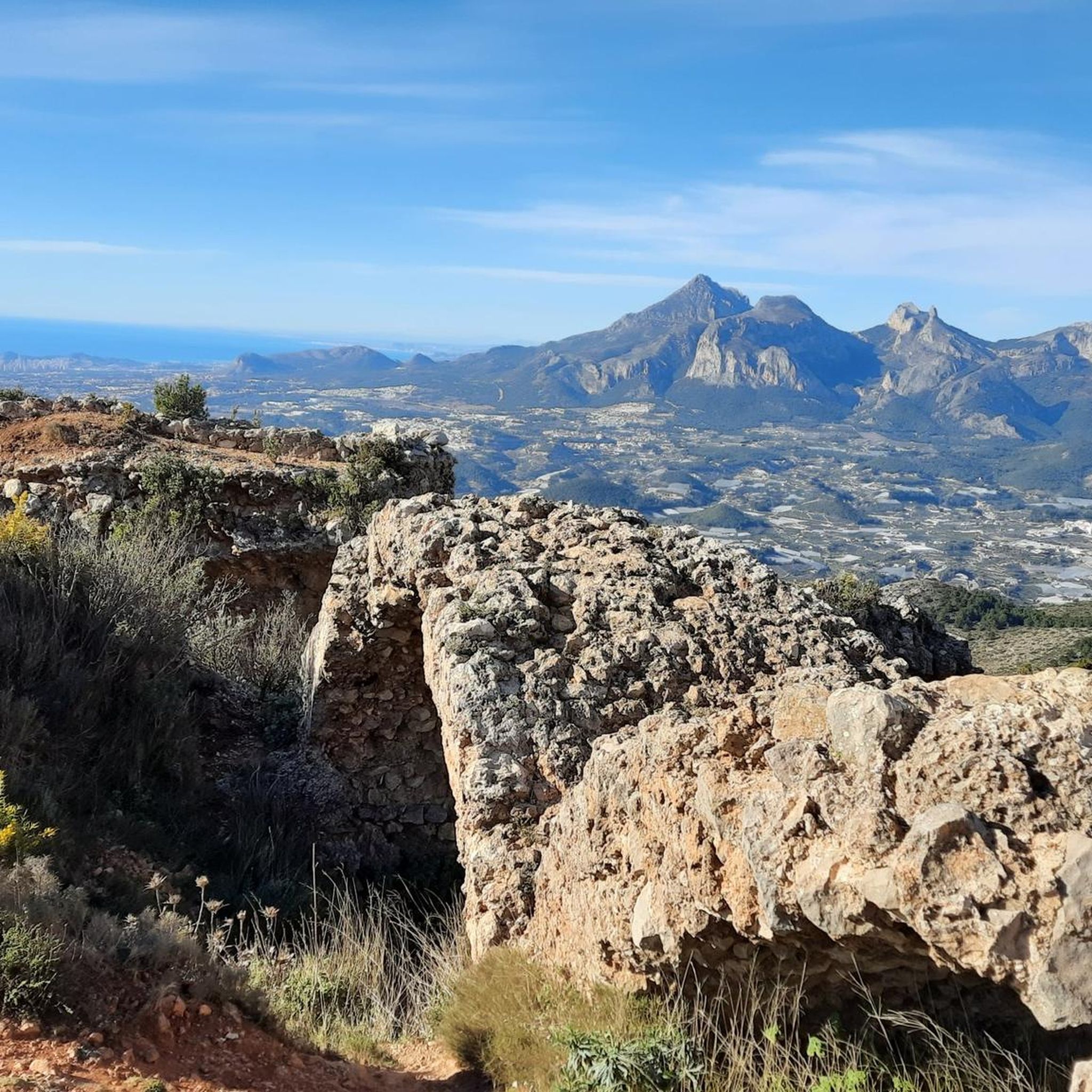
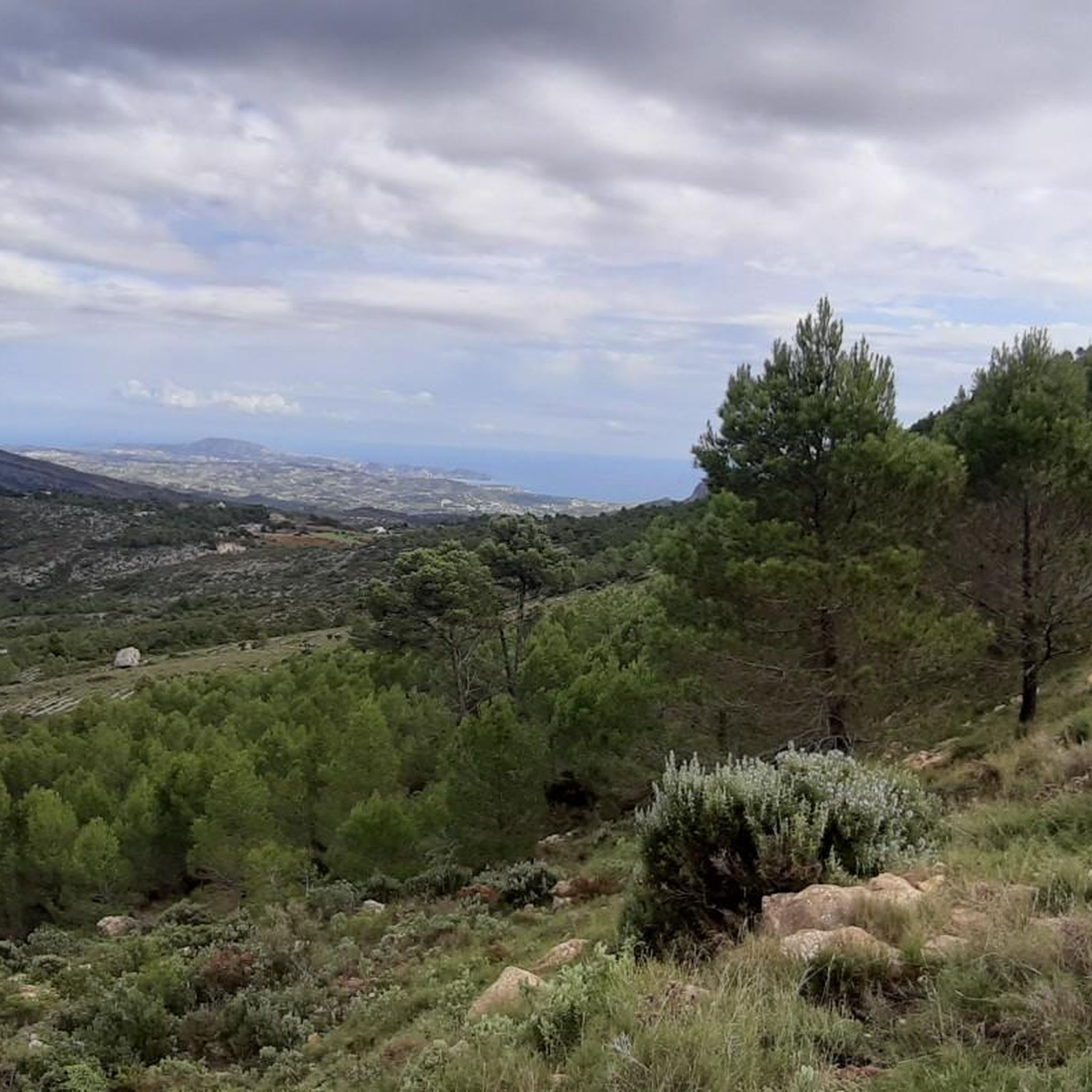
The terrain around Callosa D'En Sarrià is characterized by rugged mountain ranges like Serra de Bèrnia, Serra d'Aitana, and Serra Gelada. You can expect rocky outcrops, varied elevation changes, and paths that often lead through natural parks, providing diverse and challenging environments.
What are some notable natural attractions or landmarks I might encounter on these routes?
Many routes offer stunning views and pass by interesting natural features. For example, the Serra de Bèrnia area is known for the Forat de Bèrnia, a natural tunnel. Other highlights in the broader region include the Coll de Rates mountain pass and the scenic Guadalest Reservoir.
Are there any circular mountaineering routes available?
Yes, many of the mountaineering routes in the area are designed as loops, allowing you to start and finish at the same point. Examples include the Penyes del Portitxol – Bèrnia loop from Serra de Bèrnia and the Collado del Llamp – Coveta de la Moscarda loop from Urbanització Polop Paradís.
What is the best time of year for mountaineering in Callosa D'En Sarrià?
The region experiences a Mediterranean climate. Spring (April-May) and autumn (September-October) are generally ideal, offering milder temperatures and less intense sun, which is perfect for longer, more strenuous mountaineering. Summer can be very hot, making early morning starts essential, while winter can bring cooler temperatures to higher elevations.
What do other mountaineers say about the routes in Callosa D'En Sarrià?
The mountaineering routes around Callosa D'En Sarrià are highly rated by the komoot community, with an average score of 4.8 stars from over 10 reviews. Users often praise the challenging ascents, the diverse natural park environments, and the expansive views of the surrounding valleys and coastline.
Are there any routes that offer views of the coastline?
Yes, routes in the Parc Natural de la Serra Gelada, such as the Highest Peak at the Antenna – Governor's Height loop, lead through the coastal mountain range and often provide spectacular views of the Mediterranean Sea.
Are there any routes that are particularly challenging for advanced mountaineers?
For advanced mountaineers seeking a significant challenge, routes like the Collado del Llamp – Coveta de la Moscarda loop from Urbanització Polop Paradís, with its substantial elevation gain, offer a demanding experience. The View of Serra d'Oltà loop from Calp is another difficult option.
Can I find any caves or interesting geological features along these routes?
The region is known for its caves. While not directly on every mountaineering route, the area around Callosa D'En Sarrià features several notable caves. The Forat de Bèrnia is a famous natural tunnel, and other caves like El Badall Cave and Cremat Cave are also nearby.
Most popular routes around Callosa D'En Sarrià
Most popular attractions around Callosa D'En Sarrià

Get inspired with the komoot mobile app


Explore more
Browse the best Mountain Hikes & Routes in other regions.
