The best running trails around Hoyo De Manzanares
3.3
(4)
432
runners
36
runs
Jogging around Hoyo De Manzanares offers diverse running routes within a rich natural environment. The area is situated within the Cuenca Alta del Manzanares Regional Park and borders the Sierra de Guadarrama National Park, providing varied landscapes for runners. Features include "Public Utility Mountains" such as La Cerca de La Cabilda and Monte Ejido, offering well-maintained trails and scenic views. The distinctive Sierra de Hoyo, with its peaks and rock formations, also defines the local terrain, creating a picturesque backdrop…
Last updated: July 18, 2026
68
runners
22.6km
03:03
830m
830m
Hard run. Very good fitness required. Mostly paved surfaces. Suitable for all skill levels.
2.0
(1)
23
runners
16.6km
02:19
670m
670m
Hard run. Very good fitness required. Mostly paved surfaces. Suitable for all skill levels.

Sign up for free
26
runners
13.3km
01:42
370m
370m
Hard run. Very good fitness required. Sure-footedness, sturdy shoes and alpine experience required.
15
runners
15.8km
02:15
650m
650m
Hard run. Very good fitness required. Mostly paved surfaces. Suitable for all skill levels.
14
runners
12.3km
01:42
470m
470m
Hard run. Very good fitness required. Sure-footedness, sturdy shoes and alpine experience required.
Get access to more routes and recommendations from other explorers.
Sign up for free
Already have an account?
Our route recommendations are based on thousands of hikes, rides, and runs completed by other people on komoot.
Start today with a free account
Your next adventure awaits.
Login or Signup
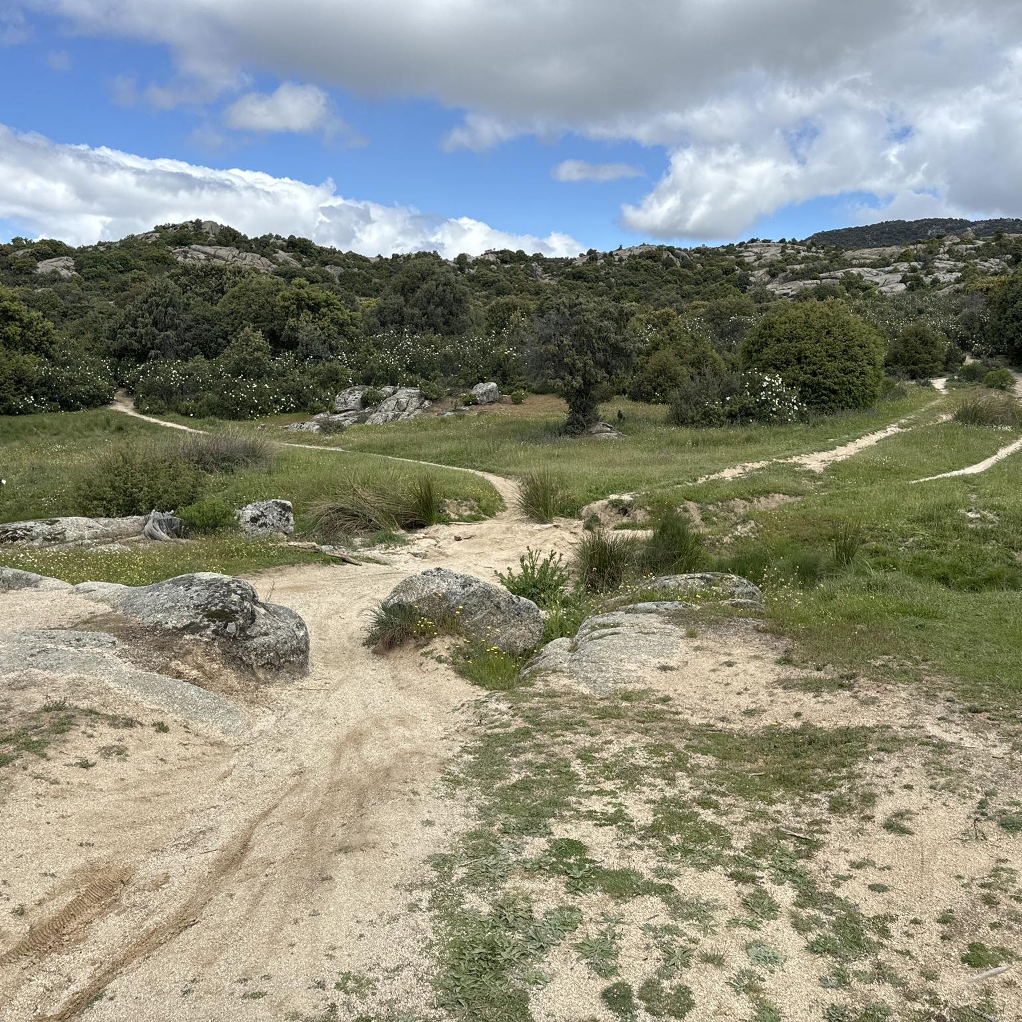
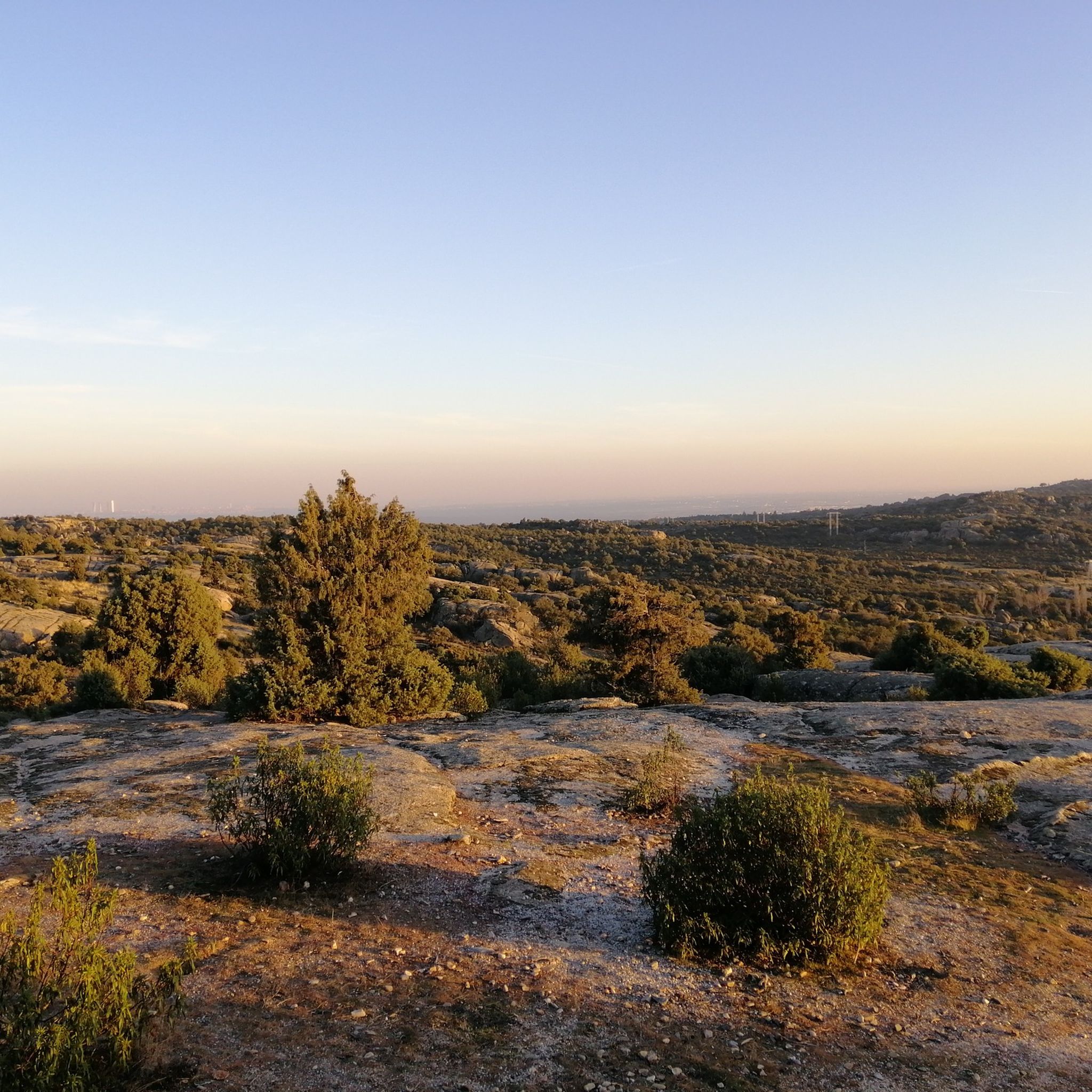
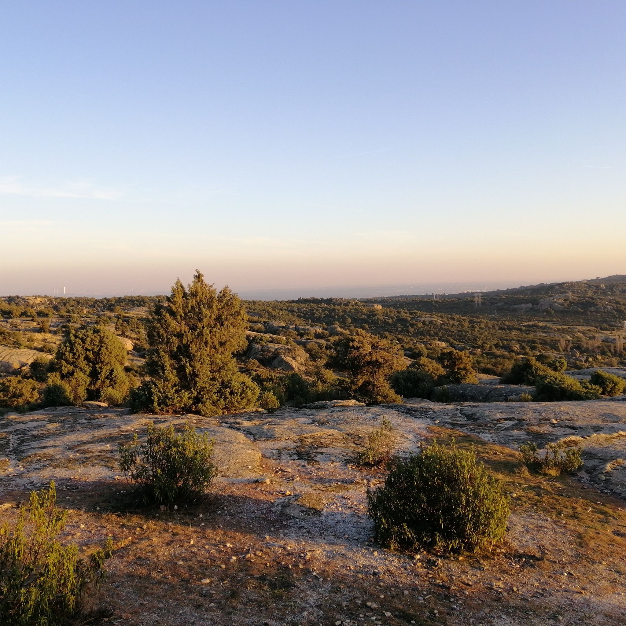
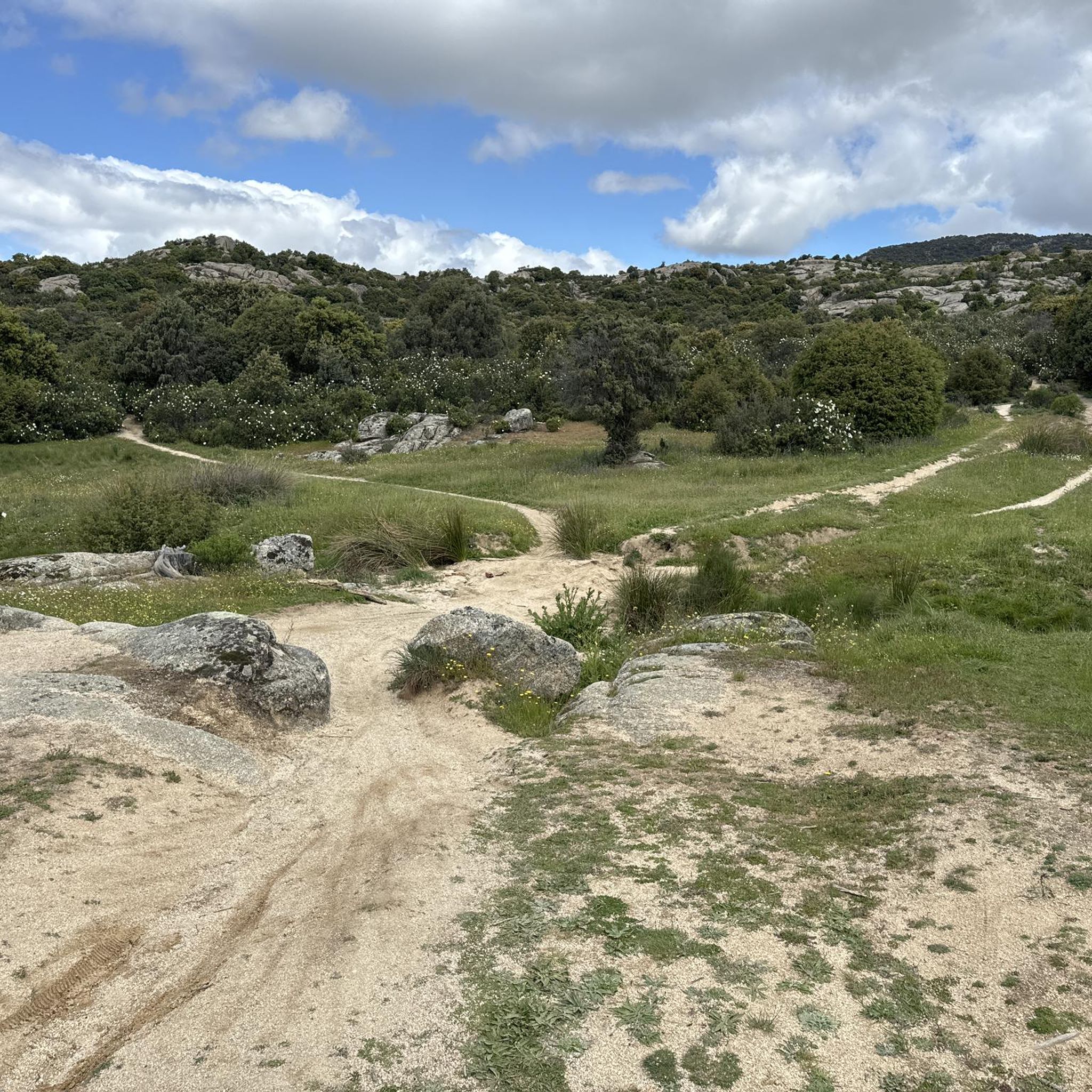

Tips from the Community

This trial, if you do it towards Berzosa, is quite hard, there are several sections that are almost impossible to cycle on. In the direction towards the Covacho waterfall there are also hard slopes but it is easier to do.
0
0
Fun trail that leads to the Berzosa parking lot.
0
0

The hiking route to the Covacho Waterfall is suitable for everyone and offers great scenic beauty. Although when you arrive, the waterfall is not at its maximum splendor, the best time to visit it is usually in spring, after the snow thaws.
1
0

Ideal place to enjoy the surroundings! Fresh and pure water!
0
0
The Covacho Waterfall, also known as Chorrera del Covacho, is a beautiful waterfall produced by the waters of the Arroyo de Peña Herrera, we also enjoy the Cuchillar and Peregrinos Streams, the majestic Sierra de Hoyo with views of the Covacho Hills and Lechuza and to the hills of Cuchillar and Peñaliendre, and we will travel through forests made up of oaks, pines, ashes, poplars, elms, acacias, rose bushes, blackberries, junipers and cistus.
0
0
Sierra de Hoyo de Manzanares waterfall that is accessed through fun trails. It usually carries a lot of water, although it usually wades well.
1
0

The Canto Hastial is the second highest height in the Hoyo de Manzanares mountain range, after La Mira or Estepar, reaching 1,374 meters. It is the best watchtower to observe the Sierra de Guadarrama, being located to the west of the Hoyense mountain range. It presides over a huge field that runs to Pico del Águila. Until 2008, it was crowned with a milestone of stones superimposed in a pyramidal manner, in the classic mountain style, but that year the Department of Environment and Territorial Planning of the Community of Madrid raised an antenna for the Defense Network against Forest Fires.
1
0

Fun trail between the end of the curveteo and the Berzosa car park.
0
0
Frequently Asked Questions
How many running routes are available in Hoyo de Manzanares?
Hoyo de Manzanares offers a wide selection of running routes, with nearly 40 different trails available for exploration. These routes cater to various fitness levels, ranging from easy strolls to challenging runs.
Are there easy jogging routes suitable for beginners or families in Hoyo de Manzanares?
Yes, Hoyo de Manzanares has routes suitable for beginners and families. While most trails are moderate, there are 2 easy routes available. The area around La Cerca de La Cabilda, a Public Utility Mountain, is known for its recreational areas and is suitable for leisurely jogs. For a moderate option, consider the Antiguo pinar loop from Hoyo de Manzanares, which is 8.6 km and leads through pine forests.
What kind of terrain can I expect on the running trails in Hoyo de Manzanares?
The running trails in Hoyo de Manzanares offer diverse terrain. You'll find paths through pine forests, historical livestock routes, and trails that ascend towards peaks and viewpoints. The region is characterized by its 'Public Utility Mountains' and the distinctive Sierra de Hoyo, providing a mix of natural surfaces within the Cuenca Alta del Manzanares Regional Park.
Are there any circular running routes in Hoyo de Manzanares?
Yes, many of the running routes in Hoyo de Manzanares are circular. For example, the Antiguo pinar loop from Hoyo de Manzanares and the Peñaliendre Viewpoint – Panoramic View from Almorchón loop from Hoyo de Manzanares are popular circular options. The region also features four signposted hiking routes (Circular, Cruz del Pan, Carboneros, and Humedales) that can be used for jogging and are designed as loops.
What are some notable viewpoints or landmarks I can see while running in Hoyo de Manzanares?
Hoyo de Manzanares offers several scenic viewpoints and landmarks. You can enjoy panoramic views from the Views of La Maliciosa or the La Solana Lookout Tower. The Peñaliendre Viewpoint – Panoramic View from Almorchón loop from Hoyo de Manzanares specifically leads to prominent viewpoints. Additionally, the Mirador de Monte Ejido provides excellent vistas, and the Sierra de Hoyo itself, with peaks like El Picazo and Peña Alonso, offers a stunning backdrop.
Are there any routes that feature waterfalls or significant water bodies?
While Hoyo de Manzanares is known for its mountains and forests, some routes offer water features. The Peñaliendre Viewpoint – Covacho Waterfall loop from Av. Berzosa - Arra specifically includes the Cascada del Covacho. The broader Manzanares region also features the Manzanares River and areas like Charca Verde in La Pedriza, known for its clear water. Nearby, you can find several reservoirs like Valmayor Reservoir and Santillana Reservoir.
What do other runners say about the trails in Hoyo de Manzanares?
The running routes in Hoyo de Manzanares are generally well-regarded by the komoot community, with an average rating of 3.3 stars from over 4 reviews. More than 400 runners have used komoot to explore the varied terrain, often praising the diverse landscapes and the natural beauty of the regional and national parks.
Can I bring my dog on the running trails in Hoyo de Manzanares?
Hoyo de Manzanares is nestled within the Cuenca Alta del Manzanares Regional Park, and many outdoor areas in such natural parks are generally dog-friendly, often requiring dogs to be on a leash to protect wildlife. It's always recommended to check specific trail regulations or local signage for any restrictions on particular routes.
What is the best time of year for running in Hoyo de Manzanares?
Hoyo de Manzanares offers diverse landscapes that can be enjoyed year-round. The signposted routes (Circular, Cruz del Pan, Carboneros, and Humedales) showcase varying flora and fauna throughout the seasons. Spring and autumn generally offer pleasant temperatures for running, while summer mornings or evenings can also be enjoyable. Winter running is possible, but conditions may vary, especially at higher elevations.
Are there any challenging running routes for experienced runners?
Yes, experienced runners will find challenging options in Hoyo de Manzanares. There are 14 difficult routes available. A popular and demanding trail is the La Berzosa Trail – Canto Hastial (1,374 m) loop from Av. Berzosa - Arra, which is 22.6 km long and features significant ascents towards Canto Hastial. Another challenging option is the El Estepar Peak – Canto Hastial (1,374 m) loop from Av. Berzosa - Arra.
What are the 'Public Utility Mountains' mentioned in the region, and what do they offer for runners?
Hoyo de Manzanares is home to several 'Public Utility Mountains' like La Cerca de La Cabilda, La Cerca de Las Viñas, El Monte de Los Atillos, and Monte Ejido. These areas are protected for their environmental value and provide ideal settings for outdoor activities. They offer well-maintained trails, contribute to air quality, and provide habitats for wildlife, making them excellent, scenic locations for jogging.
How can I access the running trails in Hoyo de Manzanares, particularly regarding parking or public transport?
While specific parking details for each trailhead are best checked on individual route pages, Hoyo de Manzanares is generally accessible. Many routes start directly from the town or nearby residential areas. For public transport, the municipality is connected by bus services, which can provide access to the town center, from where many trails are reachable. It's advisable to consult local transport schedules for the most up-to-date information.
Most popular routes around Hoyo De Manzanares
Most popular attractions around Hoyo De Manzanares

Get inspired with the komoot mobile app


Explore more
Browse the best Running Trails & Routes in other regions.
