The best walks and hikes around Schwartautal und Curauer Moor
4.5
(14798)
85,548
hikers
26
hikes
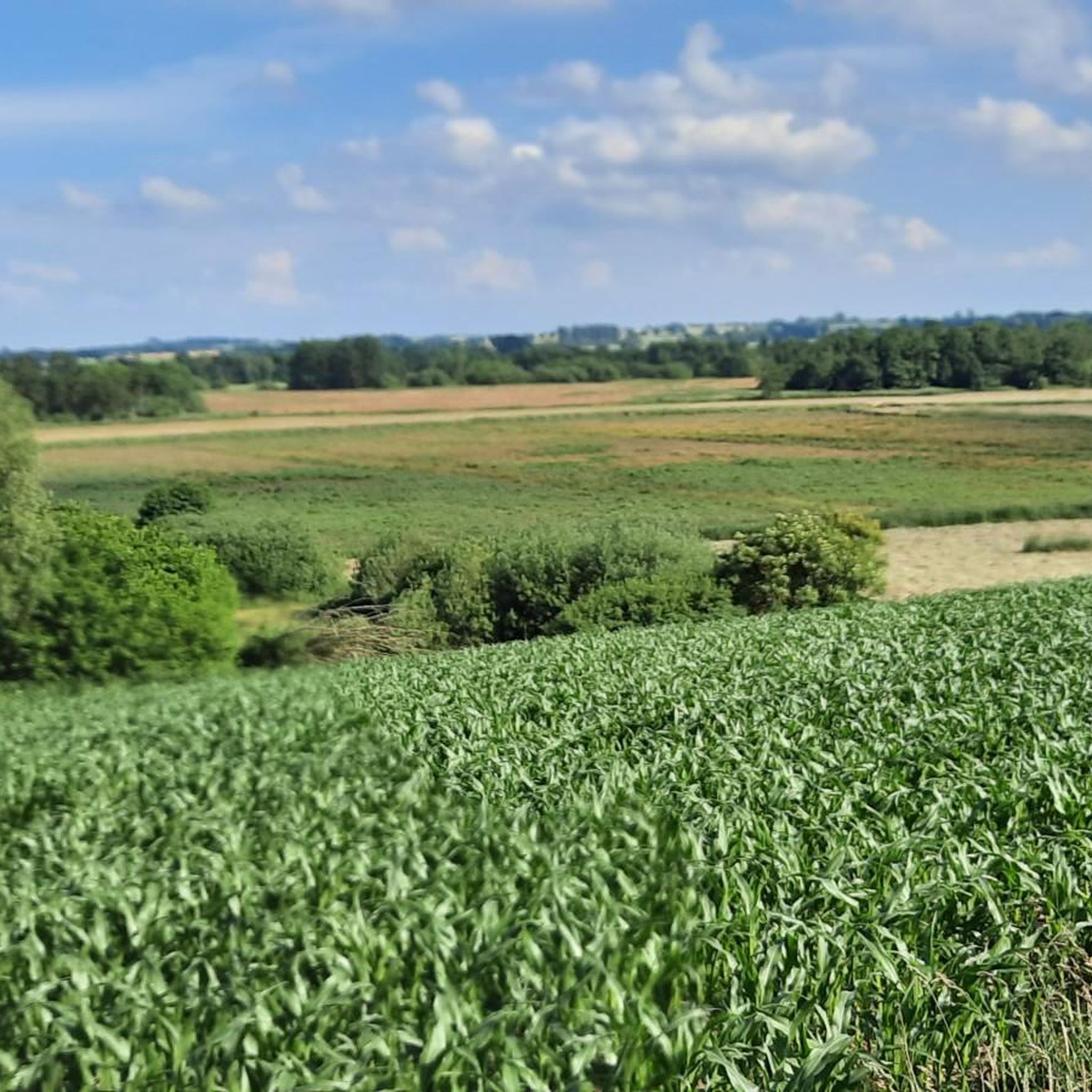
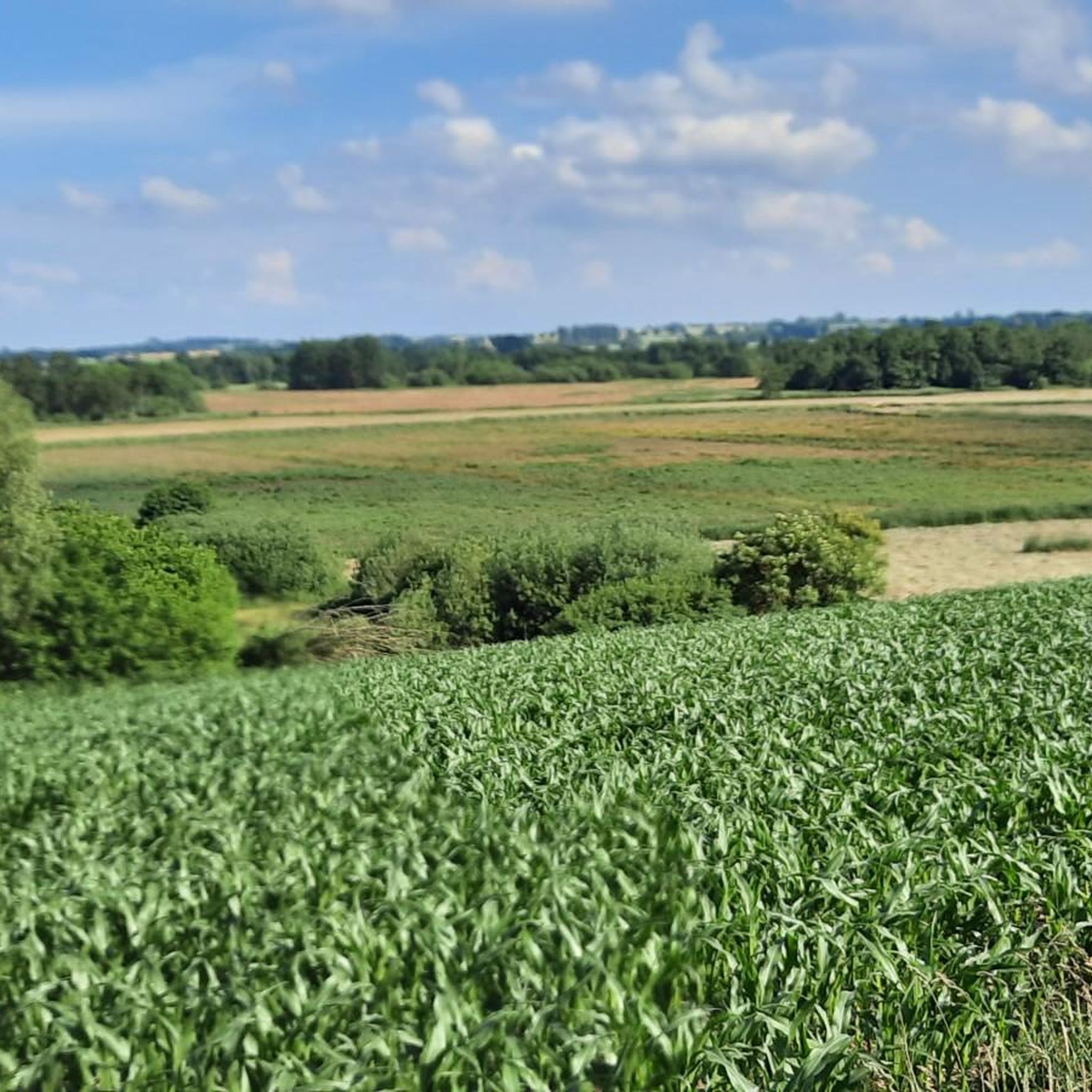
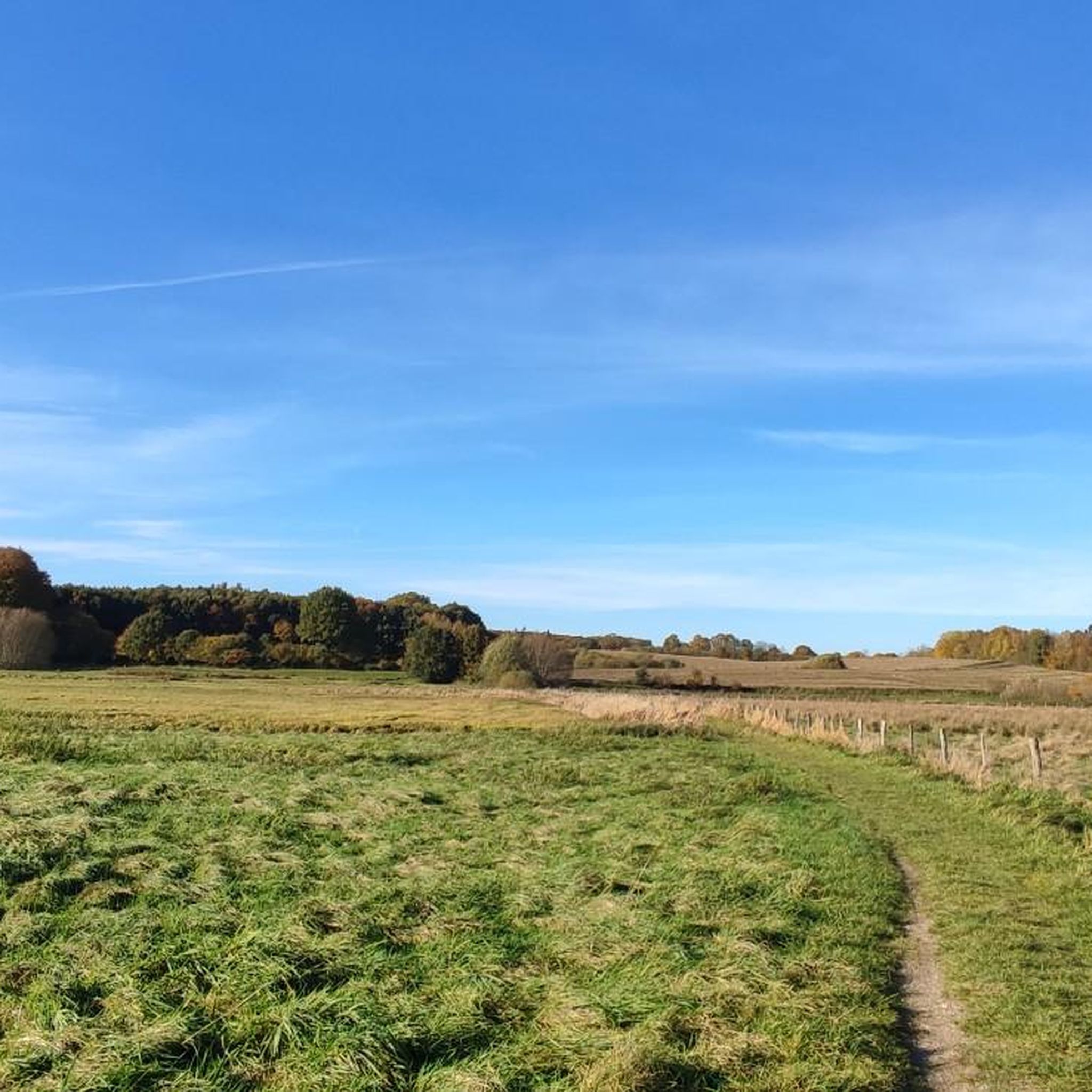
Hiking around Schwartautal und Curauer Moor offers diverse landscapes in Ostholstein, Germany. The region features a blend of moorlands, dense forests, and river valleys, including the scenic Schwartautal and the ecologically significant Curauer Moor. Hikers encounter varied terrain, from wet grasslands and deciduous forests to areas shaped by rewetting efforts. Calcareous tuff springs also contribute to the unique natural features of the area.
Best hiking trails around Schwartautal und Curauer Moor
- The most popular hiking route is Wilhelmsquelle – Wilhelm-Jensen…
Last updated: October 11, 2026
4.7
(47)
137
hikers
Moderate hike. Good fitness required. Easily-accessible paths. Suitable for all skill levels.
4.6
(24)
163
hikers
Easy hike. Great for any fitness level. Easily-accessible paths. Suitable for all skill levels.

3.8
(6)
17
hikers
4.62km
01:12
30m
30m
Easy hike. Great for any fitness level. Easily-accessible paths. Suitable for all skill levels.
4.1
(7)
22
hikers
4.86km
01:17
40m
40m
Easy hike. Great for any fitness level. Easily-accessible paths. Suitable for all skill levels.
5.0
(4)
19
hikers
6.44km
01:41
50m
50m
Easy hike. Great for any fitness level. Easily-accessible paths. Suitable for all skill levels.
Get access to more routes and recommendations from other explorers.
Already have an account?
Our route recommendations are based on thousands of hikes, rides, and runs completed by other people on komoot.
Start today with a free account
Your next adventure awaits.

Tips from the Community

Rather an inconspicuous church with an adjacent bell tower in the town center.
0
0

Apart from the raised embankment, unfortunately not much else can be seen. A shelter offers protection and a place to rest.
1
0
Beautiful rest area in the middle of a magnificent forest with a shelter and fire pit
1
0
Perfect view of magnificent nature
2
0
A beautiful path through untouched forest... for most of the way the trail runs above the pretty Schwartau river...
1
0
A beautiful path through untouched forest... for most of the way the trail runs above the pretty Schwartau river...
1
0

The old trees that flanked the root sections fell victim to the saw this year – before the ravages of time could take them down. It looks a bit bleak, but it's still fun, of course. (The fat stumps could maybe be used as a drop sometime 🤔😇)
1
0
You can also go up (at least if you avoid the biggest root steps - it's not that steep), but going down is of course much more fun!
1
0
Frequently Asked Questions
How many hiking trails are available in Schwartautal und Curauer Moor?
The Schwartautal und Curauer Moor region offers a wide selection of hiking opportunities, with over 25 distinct trails recorded on komoot. These routes cater to various preferences, ranging from easy strolls to more moderate hikes.
What types of landscapes can I expect to see while hiking here?
Hikers in Schwartautal und Curauer Moor will experience a diverse blend of landscapes. The region is characterized by significant moorlands, such as the Curauer Moor Natural Forest, dense deciduous and swamp forests, and scenic river valleys like the Schwartautal. You'll also find wet and moist grasslands, and unique calcareous tuff springs that form a 400-meter-long spring ridge.
Are there easy hiking options suitable for beginners or casual walkers?
Yes, the area is well-suited for easy walks. Out of the 25 available routes, 20 are classified as easy. An excellent option is the Curauer Stream and Moor – View of Curauer Moor loop from Curau, an easy 3.5-mile (5.7 km) path offering views of the Curauer Moor. Another gentle choice is the Wilhelmsquelle loop from Bad Schwartau, which is just under 5 km.
What kind of wildlife and plants can be observed in Curauer Moor?
The Curauer Moor is a haven for biodiversity. You can spot a variety of birds, including cranes, lapwings, snipes, and whinchats. The rewetting efforts have also created ideal conditions for amphibians like the European tree frog and the great crested newt. The flora is equally rich, with colorful moist meadows featuring plants such as meadow foam, cuckoo flower, and even rare orchids.
Are there any circular hiking routes in the region?
Yes, many trails in Schwartautal und Curauer Moor are designed as circular routes. For example, the View of Curauer Moor – Curau Church loop from Curau is a 2.7-mile (4.3 km) circular trail through the moorland. Another popular option is the Luthereiche Curau – Curau Church loop from Curau, which is an easy 6.4 km circuit.
What are some interesting landmarks or attractions to see near the hiking trails?
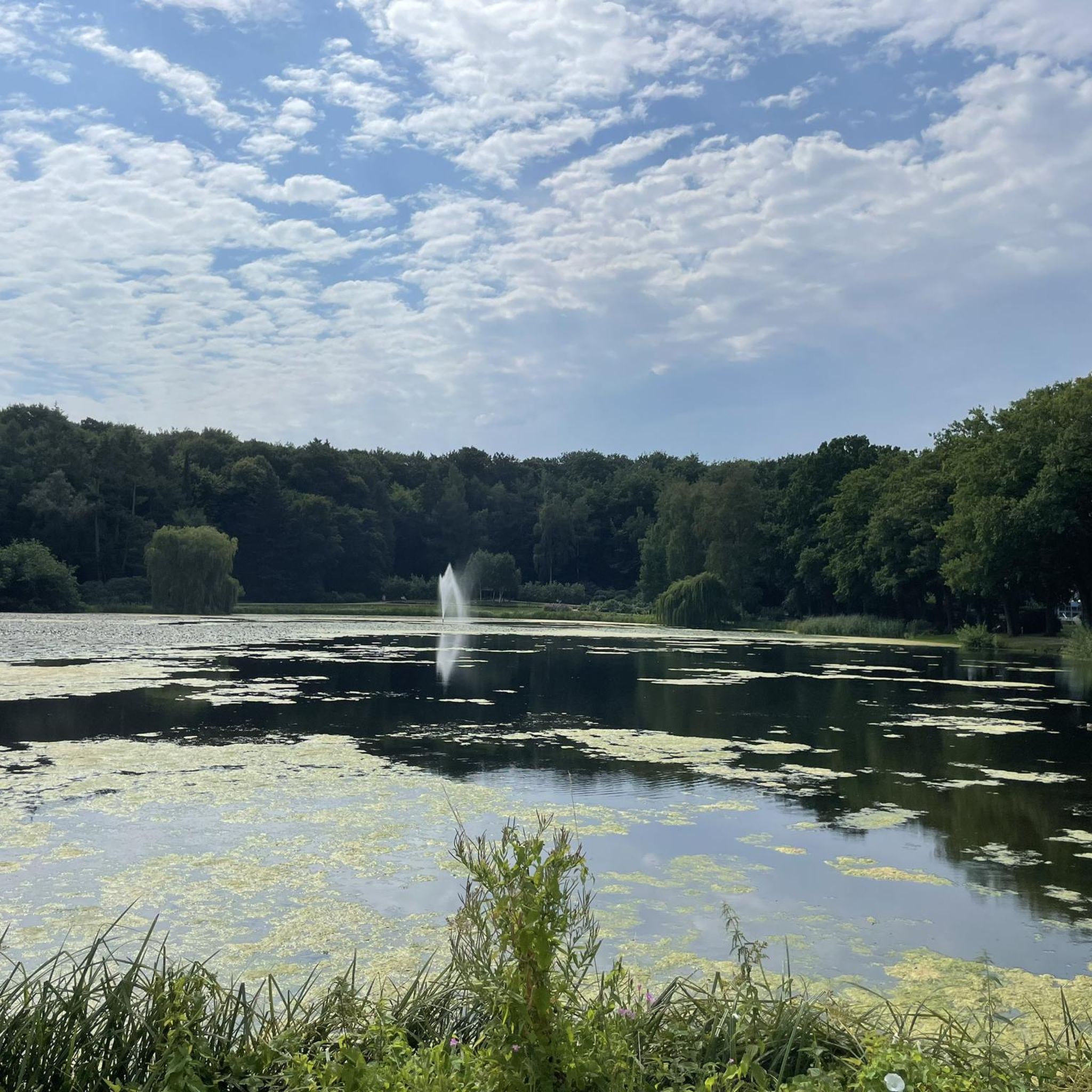
Beyond the natural beauty, you can explore several points of interest. The Schwartauer Lake in the spa park Bad Schwartau offers a tranquil setting. The Riesebusch Forest Trail and the Gert-Kayser-Weg Boardwalk provide pleasant walking experiences. For a historical touch, visit the Georgskapelle Bad Schwartau.
Is the Schwartautal und Curauer Moor area suitable for family hikes?
Absolutely. The region offers many easy trails, making it ideal for families with children. The diverse landscapes, including moorlands and forests, provide an engaging environment for younger hikers to explore nature. Many routes are well-maintained and accessible, ensuring a pleasant experience for all ages.
What is the best time of year to visit Schwartautal und Curauer Moor for hiking?
The Schwartautal und Curauer Moor is beautiful year-round, but spring and early summer are particularly rewarding. During these seasons, the moist meadows burst with colorful wildflowers like meadow foam and cuckoo flower, and wildlife is very active. Autumn also offers stunning foliage in the deciduous forests.
Are there any viewpoints or panoramic spots along the trails?
Yes, some trails offer excellent viewpoints. The 'Circular hiking route - Over the Curau' (not explicitly listed in guide data, but mentioned in region research) leads past lush mountain meadows with continuous panoramic views. It also includes a point to enjoy views of Mellenbach and the surrounding area from the Borkenhäuschen.
What do other hikers say about their experience in Schwartautal und Curauer Moor?
The hiking trails in Schwartautal und Curauer Moor are highly regarded by the komoot community, with an average rating of 4.4 stars from over 120 reviews. Hikers often praise the varied terrain, the tranquility of the moorlands and forests, and the well-maintained paths that make exploring the region a delightful experience.
Are there options for parking near the trailheads?
Yes, the region is generally accessible, and parking options are available near many trailheads, especially in and around towns like Bad Schwartau and Curau. It's advisable to check specific route details on komoot for designated parking areas closest to your chosen starting point.
Can I reach the hiking areas using public transport?
While specific public transport details for every trailhead are not provided, towns like Bad Schwartau, which is a common starting point for trails such as the Wilhelmsquelle – Wilhelm-Jensen Trail loop, are generally well-connected. It's recommended to check local bus or train schedules to plan your journey to the vicinity of the hiking areas.
Most popular routes around Schwartautal und Curauer Moor
Most popular attractions around Schwartautal und Curauer Moor

Get inspired with the komoot mobile app


Explore more
Browse the best Hikes in other regions.
