The best road cycling routes around Mironcillo
5.0
(1)
360
riders
8
rides
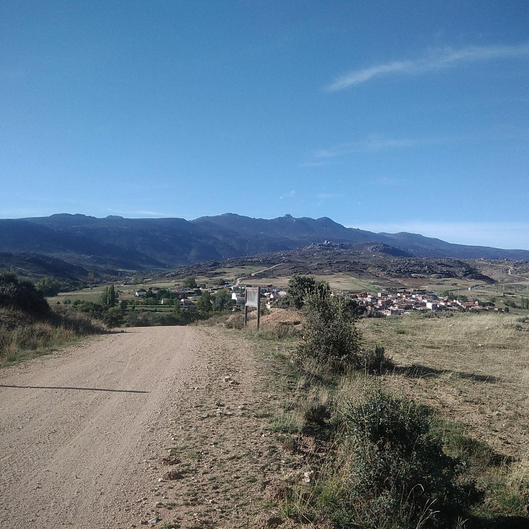
Road cycling around Mironcillo offers diverse terrain, characterized by undulating slopes and a distinctive granite landscape. The region, bordering the Sierra de la Paramera and Serrota mountain ranges, features formations such as large slabs and natural corridors. Cyclists can expect to encounter mountain pastures and extensive broom, with varied relief combining smooth stretches and more rugged inclines. This environment provides a range of conditions suitable for road bikes.
Best road cycling routes around Mironcillo
- The most popular road cycling route…
Last updated: May 16, 2026
64
riders
31.4km
01:23
200m
200m
Easy road ride. Great for any fitness level. Mostly well-paved surfaces and easy to ride.
59
riders
48.7km
02:26
440m
440m
Moderate road ride. Good fitness required. Some segments of this route may be unpaved and difficult to ride.

Sign up for free
40
riders
63.2km
03:02
700m
700m
Moderate road ride. Good fitness required. Some segments of this route may be unpaved and difficult to ride.
31
riders
56.9km
03:05
1,150m
1,150m
Hard road ride. Very good fitness required. Mostly well-paved surfaces and easy to ride.
5.0
(1)
27
riders
42.1km
02:07
360m
360m
Moderate road ride. Good fitness required. Mostly well-paved surfaces and easy to ride.
Get access to more routes and recommendations from other explorers.
Sign up for free
Already have an account?
Our route recommendations are based on thousands of hikes, rides, and runs completed by other people on komoot.
Start today with a free account
Your next adventure awaits.
Login or Signup

Tips from the Community

The Mijares Pass is one of the great mountain passes in the Sierra de Gredos, highly prized by cyclists for its length, elevation gain, and scenic beauty. Maximum gradient: 11% (on short ramps before Mijares). There are several steep sections in the villages and near the Horcajo area, as well as another one 2 km from the summit.
1
0

You cool down very quickly up here, especially when it's windy.
7
0

Highest point 1580 on this route, there is a large parking lot to enjoy the view.
16
0
The Sancti Spiritus Bridge in Ávila is a historic structure that crosses the Chico River, very close to the Chico River Park. It is a medieval-style stone bridge, probably linked to the ancient Monastery of Sancti Spiritus, founded in the 13th century.
1
0
The park extends between the bridge over the Chico River, the extension of Nuestra Señora de Sonsoles Street, and the Burgohondo road bridge, bordering Juan Pablo II Avenue. One of the most popular routes is the circular route from the Roman Bridge over the Adaja River, ideal for easy walks and enjoying the park's natural surroundings.
1
0
The Museum of Saint Teresa in Ávila is located in the crypt of the church of the Convent of Saint Teresa, built on the site of the saint's birthplace. It is a unique place dedicated exclusively to her life, work, and spiritual legacy.
1
0
The Convent of Saint Teresa in Ávila is one of the city's most emblematic sites, deeply linked to the figure of Saint Teresa of Jesus, a mystic, writer, and reformer of the Carmelite Order. The convent was built in 1636 on the site of Saint Teresa's birthplace, in the Plaza de la Santa, at the initiative of the Discalced Carmelites.
1
0

A legendary mountain pass in the Vuelta a España and in the Gredos mountain range, along with Serranillos, Peña Negra, Pedro Bernardo, and Puerto del Pico. It's a namesake of Serranillos, as it connects the same valleys, running parallel. Like Serranillo, it's a pass with a gentle, continuous gradient and uneven, bumpy asphalt, which is typical of this area. A pass of thermal contrasts: in winter, you're freezing cold, and in summer, you can die of heat.
0
0
Frequently Asked Questions
What kind of terrain can I expect when road cycling in Mironcillo?
Mironcillo offers a diverse road cycling experience, characterized by undulating slopes and a distinctive granite landscape. You'll encounter a mix of gentle stretches and more rugged, steep inclines, particularly as you approach the Sierra de la Paramera and Serrota mountain ranges. The area features unique geological formations like large slabs and natural corridors, along with mountain pastures and extensive broom.
Are there road cycling routes suitable for beginners in Mironcillo?
Yes, Mironcillo has routes suitable for beginners. For an easier ride, consider the Aldea del Rey Niño – Río Chico Park loop from Las Carboneras. This route is 31.4 km (19.5 miles) long and features varied terrain with gentle slopes, typically taking about 1 hour 22 minutes to complete.
What are some challenging road cycling routes in the Mironcillo area?
For experienced cyclists seeking a challenge, the Puerto de Mijares – Villanueva de Ávila loop from San Juan del Molinillo is a difficult route. It covers 56.9 km (35.4 miles) and involves significant elevation changes, making it a demanding ride.
Can I find routes with scenic views of Ávila?
Yes, several routes offer views of Ávila. The Venta La Tortilla – Views of Ávila loop from Gemuño is a moderate 48.0 km (29.8 miles) path that traverses undulating landscapes with scenic vistas. Another option is the Convento de San José – Views of Ávila loop from Muñogalindo, a 63.1 km (39.2 miles) trail through granite formations.
What kind of natural features or landmarks can I see along the road cycling routes?
The Mironcillo region is known for its unique granite landscape, featuring formations like large slabs and natural corridors. Cyclists can also encounter mountain pastures and extensive broom. Notable natural landmarks include Pico Zapatero and Portacho del Cuchillo, which offer significant climbs and panoramic views. You might also pass through the settlement of Aldea del Rey Niño.
Are there any mountain passes to cycle over in Mironcillo?
Yes, the region includes mountain passes that provide challenging climbs and descents. Puerto de Navalmoral and Portacho del Cuchillo are prominent features in the area, offering significant elevation changes and rewarding views for road cyclists.
How many road cycling routes are available around Mironcillo?
There are 8 road cycling routes available around Mironcillo, catering to various skill levels. This includes 3 easy routes, 4 moderate routes, and 1 difficult route.
What do other road cyclists say about the routes in Mironcillo?
The road cycling routes in Mironcillo are highly regarded by the komoot community, holding an average rating of 5.0 stars. Over 350 road cyclists have used komoot to explore the varied terrain, often praising the diverse landscape and the mix of smooth stretches with challenging ascents.
Are there any historical or cultural points of interest near the cycling routes?
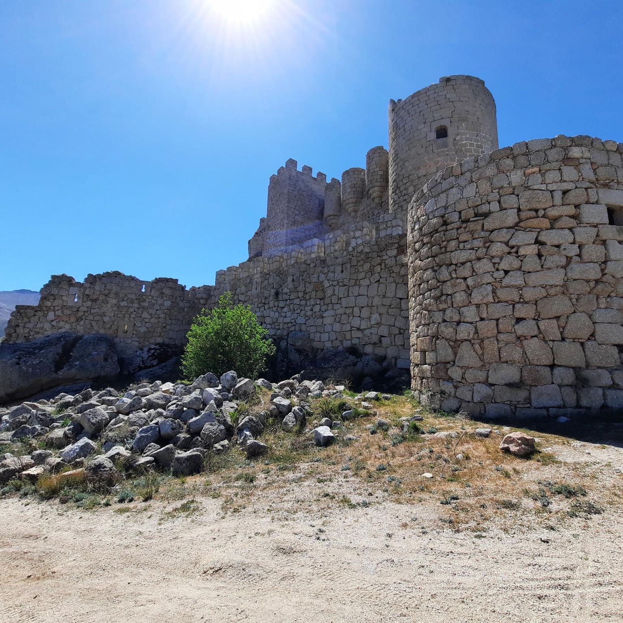
While the primary appeal is natural beauty, the region is home to the Castle of Aunqueospese, located within the natural area. Additionally, you might encounter the Church of Nuestra Señora de la Asunción in El Fresno, offering a glimpse into local heritage.
What is the typical duration for a road cycling route in Mironcillo?
Route durations vary significantly based on difficulty and length. For example, an easy route like the Aldea del Rey Niño – Río Chico Park loop takes about 1 hour 22 minutes, while a moderate route such as the Sancti Spiritu Bridge – Views of Ávila loop from Padiernos typically takes around 2 hours 7 minutes.
Are the road surfaces generally suitable for road bikes in Mironcillo?
Yes, the Mironcillo area, similar to nearby regions, is understood to offer mostly well-paved surfaces suitable for road bikes. The varied relief ensures a dynamic ride, from smoother sections to more challenging inclines.
Most popular attractions around Mironcillo

Get inspired with the komoot mobile app


Explore more
Browse the best Road cycling routes in other regions.
