The best MTB trails around Los Villares De Soria
5.0
(3)
25
riders
9
rides
Mountain biking around Los Villares de Soria offers access to a diverse landscape characterized by varied natural spaces, including river valleys, forests, and mountainous terrain. The region, part of the Soria Highlands, features ancient trails traversing barrancos, crestas, and laderas. This topography provides a range of challenges and scenic backdrops for mountain bike trails. Riders can expect natural trail and enduro riding in a wilderness setting.
Best mountain bike trails around Los Villares De Soria
- The most popular mountain bike trail is Sierra Cebollera and Acebal de Garagüeta Loop, a 37.9 miles (61.1 km) trail that takes 5 hours 35 minutes to complete. This difficult route explores the natural beauty of the Sierra Cebollera and the Acebal de Garagüeta holly forest.
- Another top favourite among local mountain bikers is Paseo de San Prudencio – Soria Viaduct loop from Garray, an easy 16.2 miles (26.0 km) path. This route offers scenic views around the Soria Viaduct and the San Prudencio area.
- Local mountain bikers also love the San Andrés de Soria loop from Segoviela, a 17.7 miles (28.4 km) trail leading through varied terrain with an elevation gain of 1604 feet, often completed in about 2 hours 35 minutes.
- Mountain biking around Los Villares de Soria is defined by barrancos, crestas, laderas, and extensive forests. The network offers options for different ability levels, from easy paths to challenging climbs.
- The routes in Los Villares de Soria are highly rated by the komoot community with an average score of 4.4 stars from a handful of reviews. More than 40 mountain bikers have used komoot to explore Los Villares de Soria's varied terrain.
Last updated: October 1, 2026
5.0
(2)
8
riders
61.1km
05:35
1,120m
1,120m
This difficult 38.0-mile mountain biking route from Matute de la Sierra explores the Sierra Cebollera, Puerto de Piqueras, and Acebal de Gar
4
riders
27.5km
02:33
490m
490m
Moderate mountain bike ride. Good fitness required. Advanced riding skills necessary.

3
riders
28.2km
01:47
240m
240m
Easy mountain bike ride. Great for any fitness level. Suitable for all skill levels.
3
riders
51.1km
04:48
880m
880m
Moderate mountain bike ride. Good fitness required. Advanced riding skills necessary.
2
riders
33.4km
02:51
500m
500m
Moderate mountain bike ride. Good fitness required. Advanced riding skills necessary.
Get access to more routes and recommendations from other explorers.
Already have an account?
Our route recommendations are based on thousands of hikes, rides, and runs completed by other people on komoot.
Start today with a free account
Your next adventure awaits.
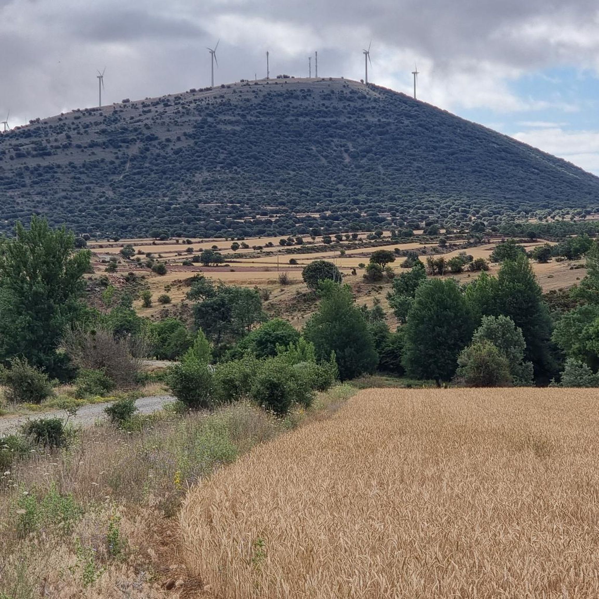

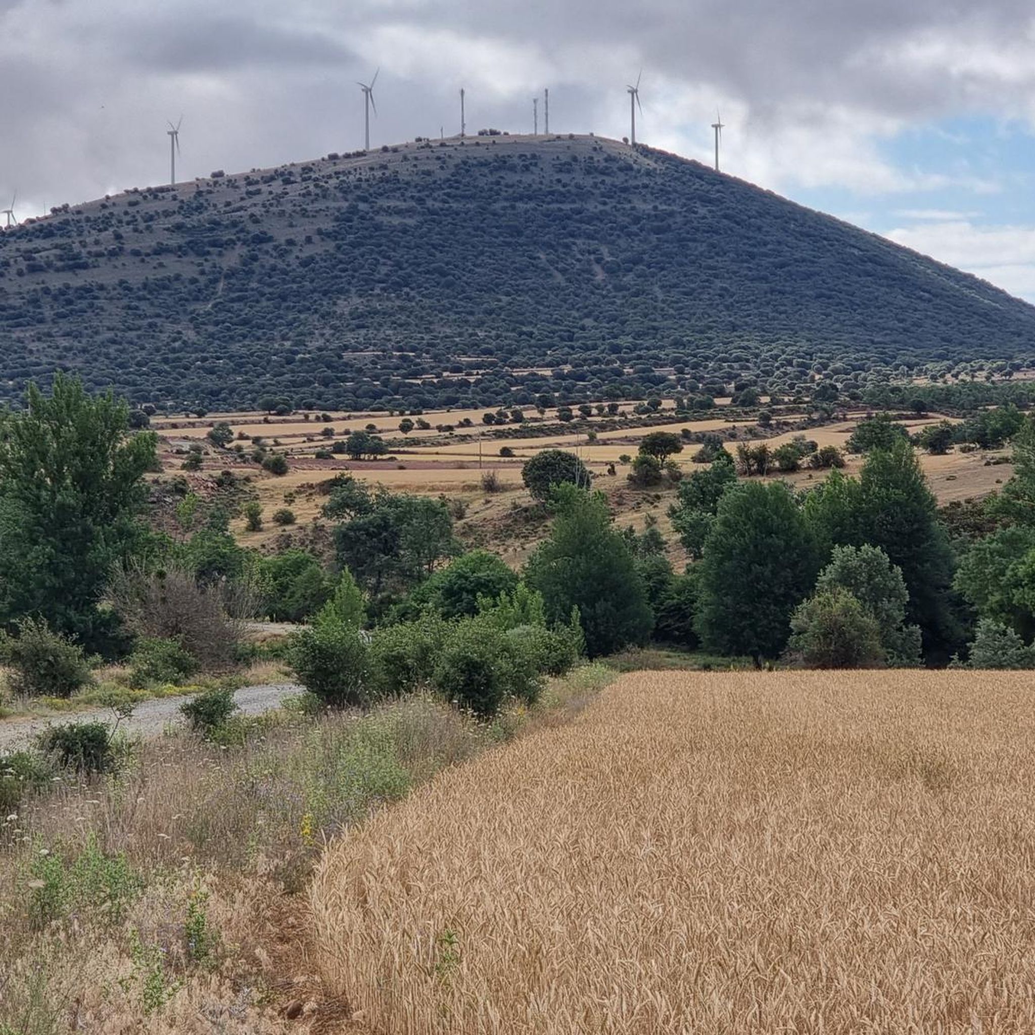
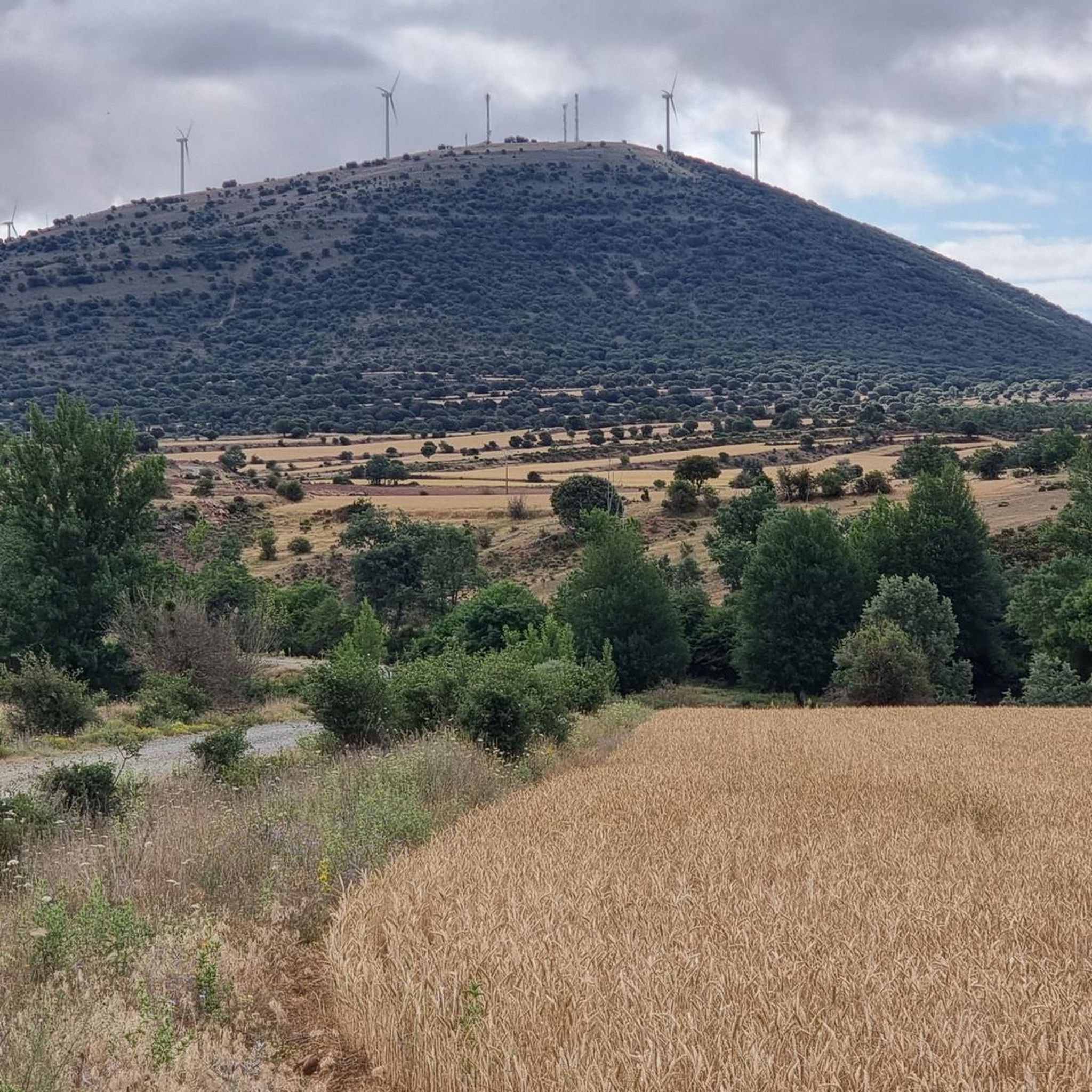
Tips from the Community

Village belonging to the municipality of Almarza at the foot of the Sierra de Tabanera, with which it shares the imposing Dehesa Boyal de la Mata. This dehesa is the origin of the Traslado del Arca festival between both towns. In this dehesa, the Hermitage of Santos Nuevos and the Choza de la Mesilla will surprise you.
3
0
From the Las Celadillas path, with medium-sized pine forests on one side and views of the Razón Valley and many of its villages on the other, it is a mandatory stop. Sunsets are incredible from this area. Worth noting is the flock of sheep that usually grazes in the area, with very committed dogs.
3
0
Straight road that crosses the Pinar de Arguijo (Soria) that takes us directly to the Alto del Guardatillo gate.
2
0
Track that from Alto de Terrazas takes us into the Sierra de Cebollera along a path flanked by small pine trees, with a firm surface with plenty of loose stones, which gradually opens up, offering incredible views of the area. Vegetation typical of the height at which we are and wildlife can also be seen.
2
0
Gate that marks the boundary between Alto de Guardatillo and the path down to Las Celadillas. Once you have passed it, the Razón valley and its magnificent views open up before you. It is important to keep this gate well closed to prevent the escape of cattle that usually graze on both sides.
1
0
Having just reached Alto de Guardatillo, we enter the Celadillas path. Excellent views of the Razón valley can be seen. The track is in good condition with a pine forest on the side. Occasionally, sheep graze on these slopes. Pay special attention to the dogs that guard them. By the way, with a good headlight for the return, enjoying the sunset is well worth it.
1
0
A large pasture in the town of San Andrés. A place where cattle, horses and bovines graze and where it is not unusual to see wild fauna when crossing it. The Hermitage of Santos Nuevos is located in its depths.
2
0
Shelter located on the track that takes us directly to Alto de Terrazas, in the middle of an exceptional pine forest. In a state of decrepitude and dirt, despite the recent renovation. It has a fireplace and a table with benches to sit on. In case of emergency, it can be useful...
3
0
Frequently Asked Questions
How many mountain bike trails are there around Los Villares de Soria?
There are over 10 mountain bike trails available around Los Villares de Soria, catering to various skill levels. The region is part of the Soria Highlands, known for its extensive network of ancient trails.
What kind of terrain can I expect on mountain bike trails near Los Villares de Soria?
You can expect a diverse landscape characterized by barrancos (ravines), crestas (ridges), laderas (slopes), and extensive forests. The Soria province offers varied natural spaces, including river valleys and mountainous terrain, providing a mix of challenges and scenic backdrops for mountain biking.
Are there mountain bike trails suitable for beginners around Los Villares de Soria?
Yes, there are easy routes available. For instance, the Paseo de San Prudencio – Soria Viaduct loop from Garray is an easy 26.0 km (16.2 miles) path offering scenic views around the Soria Viaduct and the San Prudencio area.
Are there challenging mountain bike routes for experienced riders?
Absolutely. The region offers difficult routes for experienced riders. A notable challenging trail is the Sierra Cebollera and Acebal de Garagüeta Loop, a 61.1 km (37.9 miles) route with over 1100 meters of elevation gain, exploring the natural beauty of the Sierra Cebollera and one of Europe's largest holly forests.
What is the best time of year for mountain biking around Los Villares de Soria?
The best time for mountain biking is generally during spring (April-June) and autumn (September-October) when the weather is mild and the landscapes are vibrant. Summers can be hot, and winters may bring cold temperatures and snow at higher elevations, though some trails might be accessible.
Are there family-friendly mountain bike trails near Los Villares de Soria?
While specific 'family-friendly' designations are not always explicit, many of the easier and moderate routes, particularly those along river valleys or through less steep forests, can be suitable for families. Always check the route's difficulty and elevation profile before heading out.
Can I bring my dog on the mountain bike trails?
Generally, dogs are allowed on natural trails in the Soria province, especially in rural and wilderness areas, provided they are kept under control. However, it's always advisable to check local regulations for specific protected areas or nature reserves you plan to visit, as rules may vary.
Is there parking available for mountain bikers in Los Villares de Soria?
Los Villares de Soria, being a rural village, typically offers general parking within the village center or near trailheads. For specific routes starting from nearby towns like Garray or Segoviela, parking is usually available in those locations.
What natural features or landmarks can I see along the mountain bike trails?
The trails often traverse diverse natural spaces, including river valleys (like the Villares and Merdancho rivers), pine and beech forests, and offer panoramic views of the Castilian landscape. You might also encounter cultural points of interest such as medieval bridges or Roman vestiges. The Guardatillo Trail – Sierra de Cebollera loop, for example, takes you through the Sierra de Cebollera.
Are there any interesting historical sites or attractions near the mountain bike routes?
Yes, the area is rich in history. You can find sites like the Numantia Archaeological Site near Garray, or the Church, Medieval Bridge, and Stele of Renieblas. These can be integrated into longer cycling tours or visited before or after your ride.
What do other mountain bikers enjoy most about mountain biking in Los Villares de Soria?
The area is highly rated by the komoot community, with an average score of 4.4 stars. Reviewers often praise the diverse terrain, the natural trail and enduro riding in a true wilderness setting, and the stunning views through barrancos, crestas, and laderas.
Are there any loop trails that start directly from Los Villares de Soria or nearby villages?
Yes, many routes in the region are designed as loops, allowing you to start and finish in the same location. For example, the San Andrés de Soria loop from Segoviela is a popular option, offering varied terrain and an elevation gain of over 480 meters.
Are there any permits required for mountain biking in the Soria province?
Generally, no specific permits are required for mountain biking on public trails in the Soria province. However, always respect private property, follow trail etiquette, and be aware of any specific regulations if you enter protected natural parks or reserves.
Most popular routes around Los Villares De Soria
Most popular attractions around Los Villares De Soria

Get inspired with the komoot mobile app


Explore more
Browse the best MTB trails in other regions.
