The best running trails around Cofrentes
5.0
(1)
165
runners
24
runs
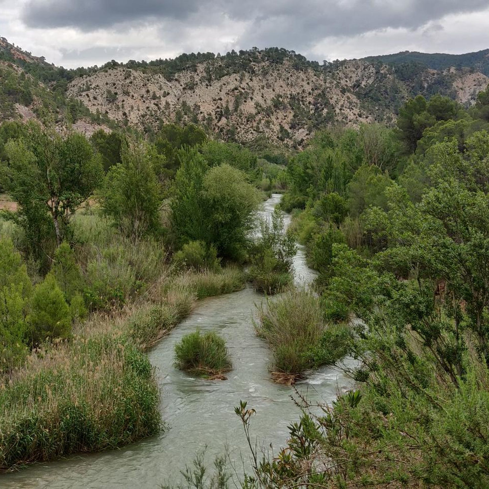
Jogging routes around Cofrentes offer a diverse landscape shaped by the confluence of the Cabriel and Júcar rivers and its volcanic origins. The region features dramatic river canyons, such as the Cañones del Júcar, and extensive forests. Joggers can explore varied terrain, from river-side paths to hilly trails and the slopes of the Cerro de Agras, an extinct volcano. This mix of natural features provides a range of running experiences for different fitness levels.
Best jogging routes around Cofrentes
- The…
Last updated: September 30, 2026
16
runners
11.1km
01:28
350m
360m
Hard run. Very good fitness required. Mostly paved surfaces. Suitable for all skill levels.
8
runners
8.00km
00:53
130m
130m
Moderate run. Good fitness required. Mostly paved surfaces. Suitable for all skill levels.

7
runners
3.18km
00:27
120m
120m
Moderate run. Good fitness required. Mostly paved surfaces. Suitable for all skill levels.
3
runners
12.6km
01:32
230m
240m
Hard run. Good fitness required. Sure-footedness, sturdy shoes and alpine experience required.
5
runners
8.17km
00:56
120m
120m
Moderate run. Good fitness required. Mostly paved surfaces. Suitable for all skill levels.
Get access to more routes and recommendations from other explorers.
Already have an account?
Our route recommendations are based on thousands of hikes, rides, and runs completed by other people on komoot.
Start today with a free account
Your next adventure awaits.


Tips from the Community

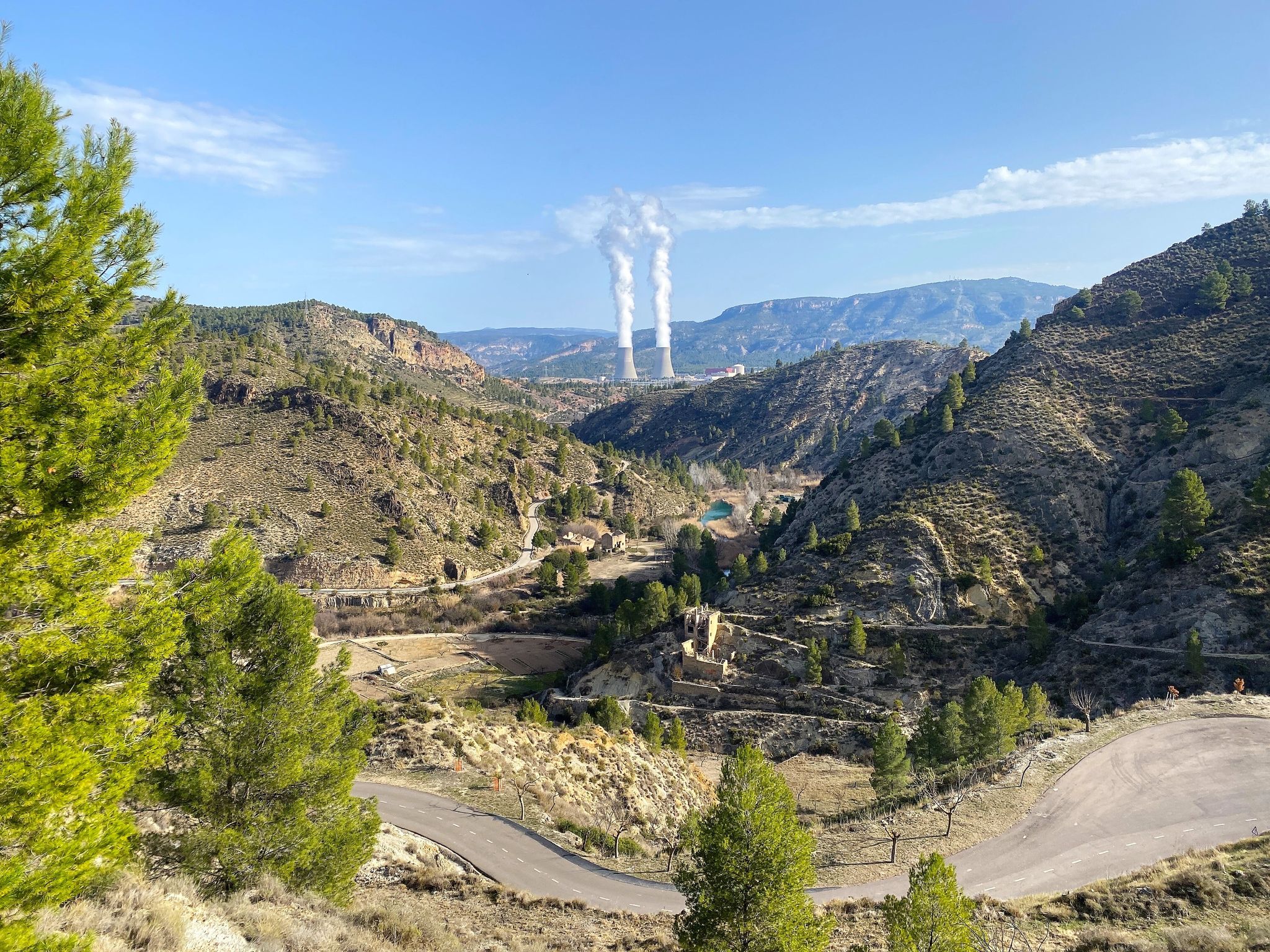
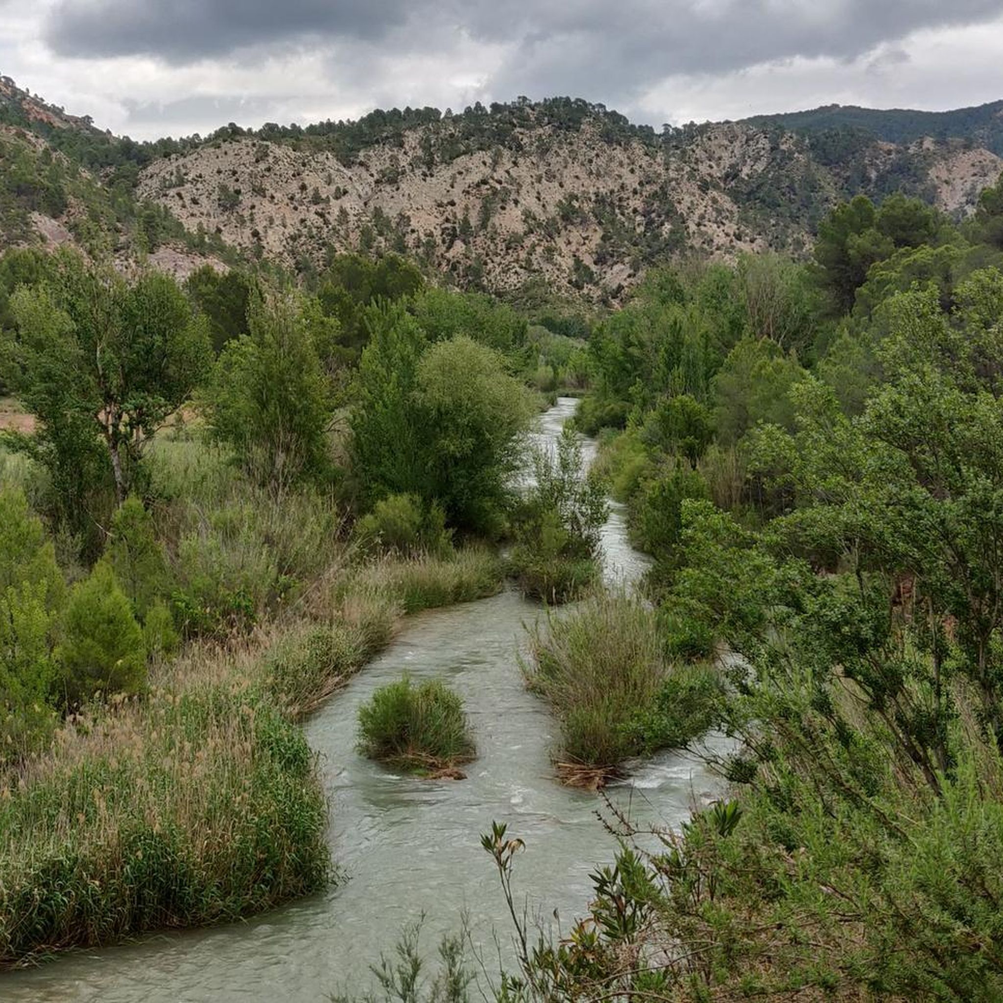
This path connects the river with the road along the hillside. There is a bit of loose stone and streaks in some sections, but it does not have any technical difficulties.
0
0
This square is located in one of the central streets of the town and is one of the meeting points for the countrymen. There are some benches, a drinking water fountain and the figure of a Shepherd.
1
0

Brother Pastor is one of the most relevant characters in the history of Cofrentes.
1
1

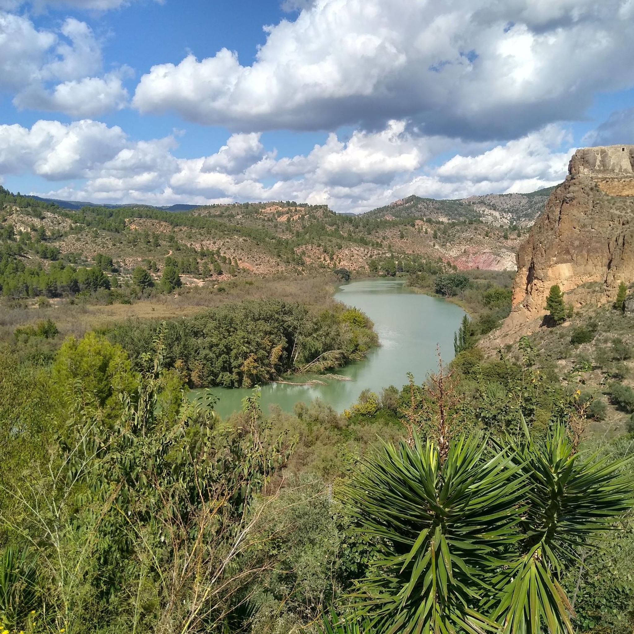
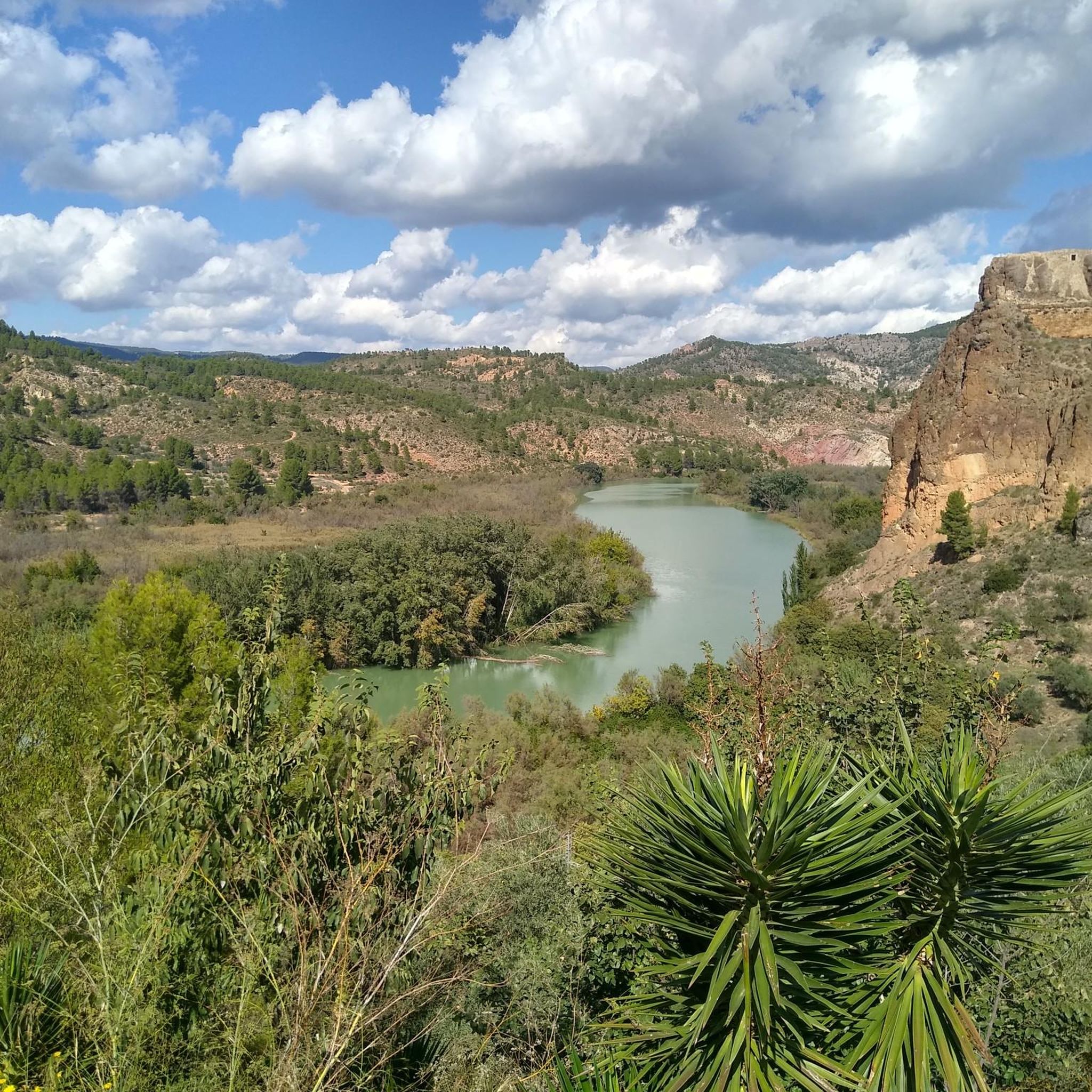
Located in the municipality of Cortes de Pallás, in the Umbria of Chirel, the fortress has, from the top of the place where it is located, spectacular views of the Cortes reservoir, the Cintos de Sácaras and the Cerrador -on the other side of the reservoir - and the entire annex Cinto del Castillo.
7
0
The Chirel Castle, a castle with an impressive natural viewpoint in Cortes de Pallás.
7
0

It is one of the most important castles in the province of Valencia without having undergone any restoration yet. The possibility of walking around and appreciating its incredible views of the Muela de Cortes and the Júcar river, make this site one of the most visited by lovers of hiking.
2
0

It is a medieval castle built on a spectacular site. It is well worth the visit, especially for the impressive views from the viewpoint.
1
0
Frequently Asked Questions
What kind of terrain can I expect on the running routes around Cofrentes?
The Cofrentes region offers a diverse landscape for runners, characterized by the confluence of the Cabriel and Júcar rivers, and its unique volcanic origins. You'll find dramatic river canyons like the Cañones del Júcar, extensive forests, and hilly paths. The area includes varied elevations, from riverside trails to the slopes of the Cerro de Agras, an extinct volcano, providing a mix of experiences for all fitness levels.
Are there any easy jogging routes for beginners in Cofrentes?
While many routes in our guide are moderate to difficult, the region does offer easier options. For instance, the Fuente de la Pinada loop from Jalance is a moderate 8 km path. Additionally, the Region Research highlights the Ruta Volcánica de Cofrentes (PR-CV 379) as an easy hiking route to the Cerro de Agras volcano, which is also suitable for a gentle jog.
What are some of the most scenic running routes in Cofrentes?
Many routes offer breathtaking views. The Views of the Júcar River – Cliffs loop from Cortes de Pallás is a popular choice, leading through impressive river canyons and along cliffs. The Region Research also mentions the El Campichuelo Trail, which provides views of Cofrentes Castle and the Cabriel River, and the Camino del Balneario, showcasing volcanic landscapes and river canyons.
Can I find routes that feature waterfalls or other natural monuments?
Absolutely! The Cofrentes area is rich in natural beauty. You can explore routes that pass by stunning features like the El Corbinet Waterfall or the Arroyo de Cortes Waterfall. The Tejador Cave – El Corbinet Waterfall loop from Cortes de Pallás is a great option that includes both a cave and a waterfall.
Are there any circular running routes available in Cofrentes?
Yes, there are several circular routes to enjoy. The Fuente Fria loop from Cofrentes is a challenging 10.4 km circular path. The Region Research also mentions 'La Noria, Casas de Alcance, Cofrentes y el Río Cabriel' as a moderate 13.8 km circular trail starting from Hervideros, and 'Alto de Alcola' as a more challenging 18.1 km circular route from Cofrentes.
What interesting landmarks or historical sites can I see while running in Cofrentes?
Cofrentes offers a blend of natural and historical sights. The Chirel Castle is a notable landmark, and the Cofrentes Castle itself, perched on a volcanic hill, provides strategic views and is a focal point for many trails. You can also find routes that offer Views of the Júcar River, which is a highlight in itself.
How many running routes are available in the Cofrentes area?
Our guide features 13 distinct running routes around Cofrentes, offering a variety of distances and difficulty levels. These include 5 moderate and 8 difficult trails, ensuring options for different preferences and fitness levels.
What do other runners say about the trails in Cofrentes?
Over 100 runners have used komoot to explore Cofrentes's varied terrain. They often praise the region's diverse landscape, from river canyons to volcanic hills, and the challenging yet rewarding nature of many trails. The mix of natural features provides a unique and engaging running experience.
Are there any routes that explore the volcanic landscape of Cofrentes?
Yes, Cofrentes is unique for its volcanic origins. The Cerro de Agras is an extinct volcano, and the Ruta Volcánica de Cofrentes (PR-CV 379) is an easy trail that leads to its summit, offering panoramic views and an interesting geological experience. The Camino del Balneario also showcases volcanic landscapes alongside river canyons.
Is there a long-distance running option in the Cofrentes area?
For those looking for a longer challenge, part of the impressive GR 7 Route crosses the Cofrentes area. This long-distance hiking route offers extended and varied terrain, suitable for experienced runners seeking a more extensive adventure.
Are there any routes that follow the rivers?
Absolutely. Cofrentes is situated at the confluence of the Cabriel and Júcar rivers, offering many opportunities for riverside running. Routes like the Views of the Júcar River – Cliffs loop from Cortes de Pallás directly follow the river canyons, providing refreshing views and a cooler atmosphere. The Cabriel River is also highlighted as an 'awesome trail to do on foot'.
What is the most challenging running route in this guide?
Among the routes listed, the Views of the Júcar River – Cliffs loop from Cortes de Pallás is one of the most challenging, covering 21.0 km with significant elevation changes, typically completed in about 3 hours and 10 minutes. The Alto de Alcola, mentioned in regional research, is also a challenging 18.1 km circular route.
Most popular attractions around Cofrentes

Get inspired with the komoot mobile app


Explore more
Browse the best Running Trails & Routes in other regions.
