The best cycling routes around Pampaneira
4.5
(41)
1,194
riders
41
rides
Touring cycling routes around Pampaneira are situated within the Barranco de Poqueira, a significant part of the Sierra Nevada National and Natural Park. This region features mountainous scenery with views of peaks like Mulhacén and Veleta. The terrain includes lush ravines with mulberry, chestnut, and oak trees, contrasting with rugged high-altitude areas. The Poqueira River flows through the area, contributing to the diverse landscape.
Best touring cycling routes around Pampaneira
- The most popular touring cycling route is Tajo de Cortés…
Last updated: July 18, 2026
10
riders
21.1km
02:11
590m
590m
Hard bike ride. Very good fitness required. Some segments of this route may be unpaved and difficult to ride.
5.0
(2)
98
riders
69.0km
06:51
2,090m
2,080m
Hard bike ride. Very good fitness required. You may need to push your bike for some segments of this route.

Sign up for free
5.0
(1)
100
riders
69.4km
05:24
1,870m
1,870m
Hard bike ride. Very good fitness required. Mostly paved surfaces. Suitable for all skill levels.
5.0
(2)
46
riders
36.5km
03:39
1,160m
1,160m
Hard bike ride. Very good fitness required. Mostly paved surfaces. Suitable for all skill levels.
5.0
(2)
33
riders
40.5km
03:29
1,150m
1,150m
Hard bike ride. Very good fitness required. Mostly paved surfaces. Suitable for all skill levels.
Get access to more routes and recommendations from other explorers.
Sign up for free
Already have an account?
Our route recommendations are based on thousands of hikes, rides, and runs completed by other people on komoot.
Start today with a free account
Your next adventure awaits.
Login or Signup
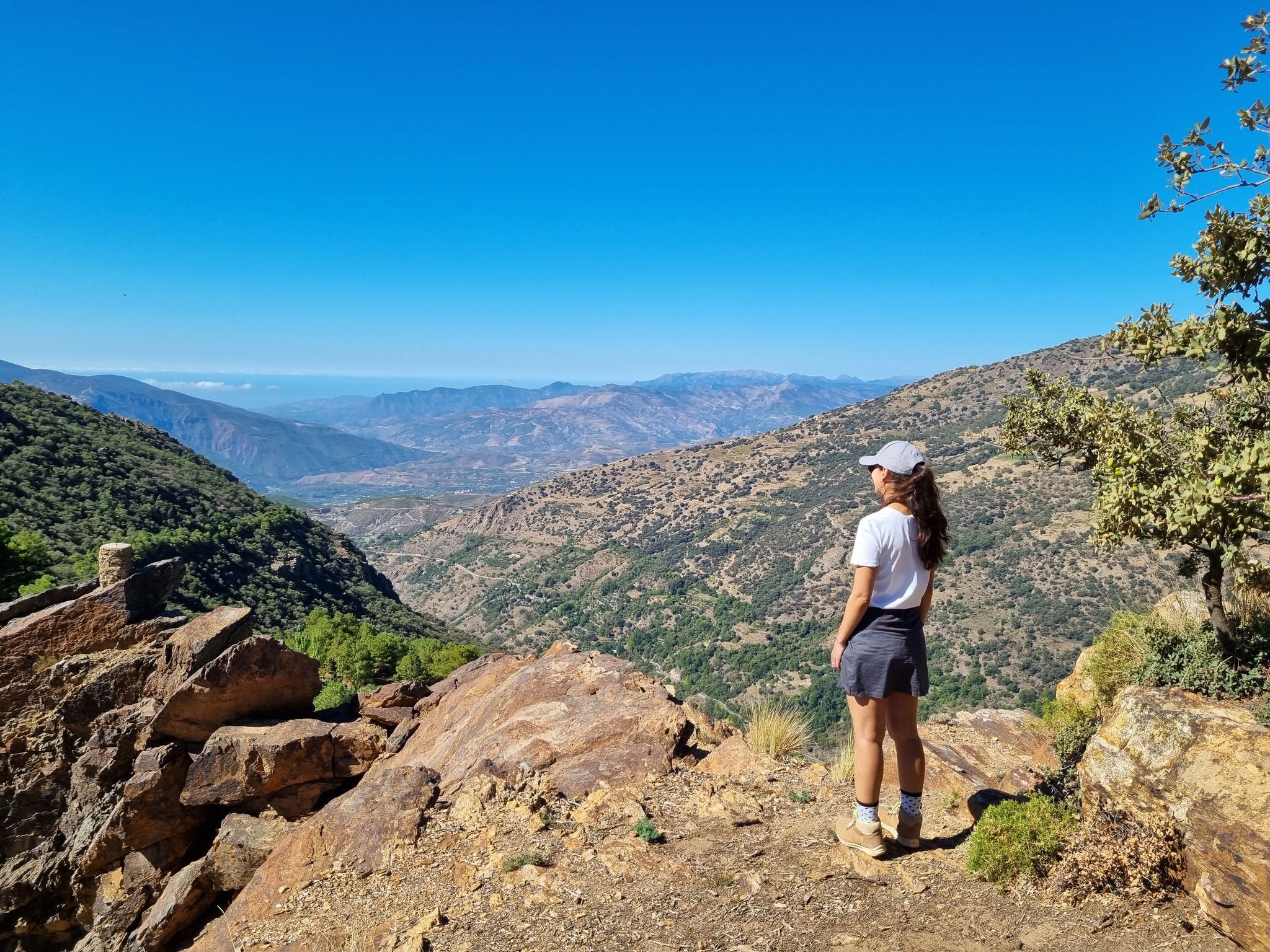
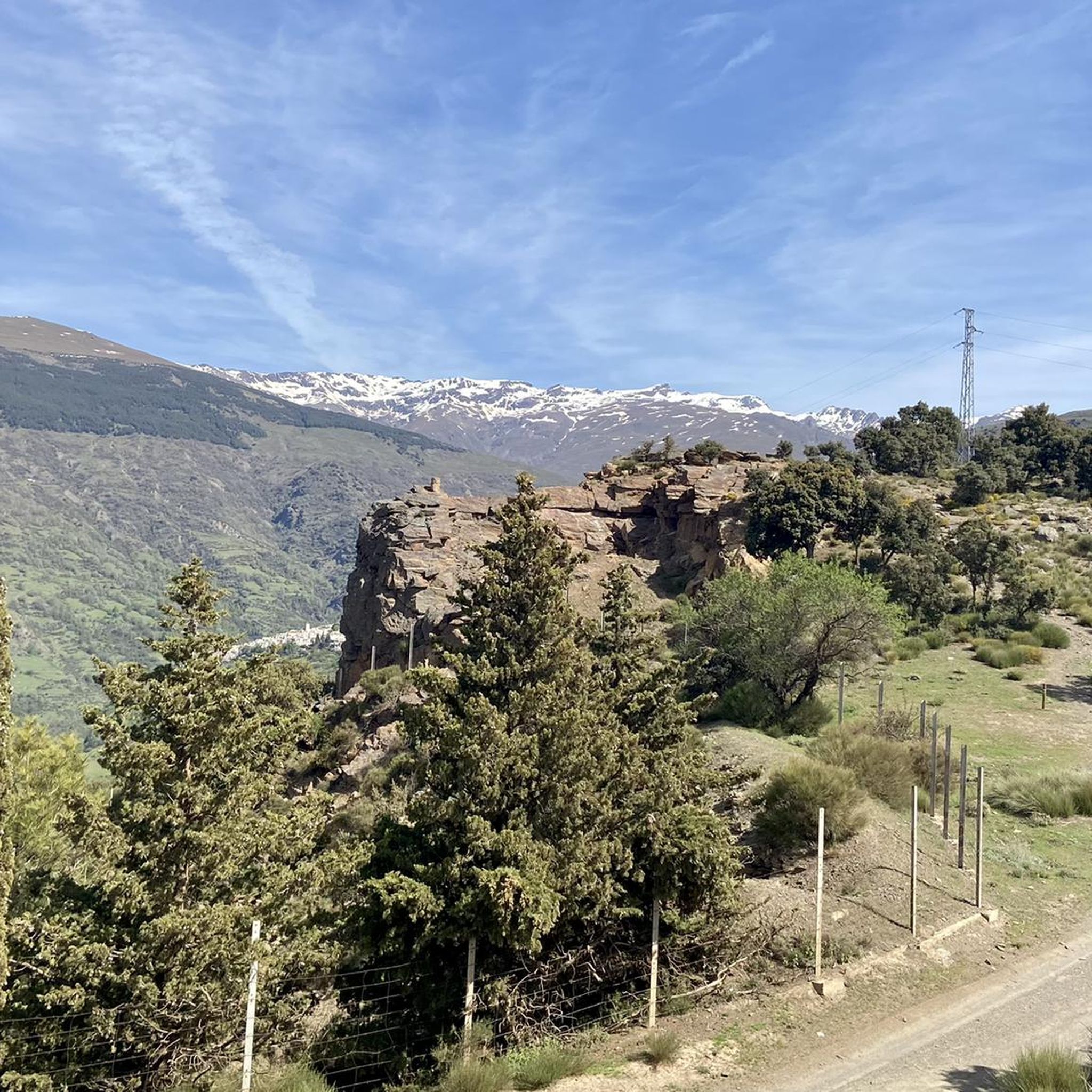
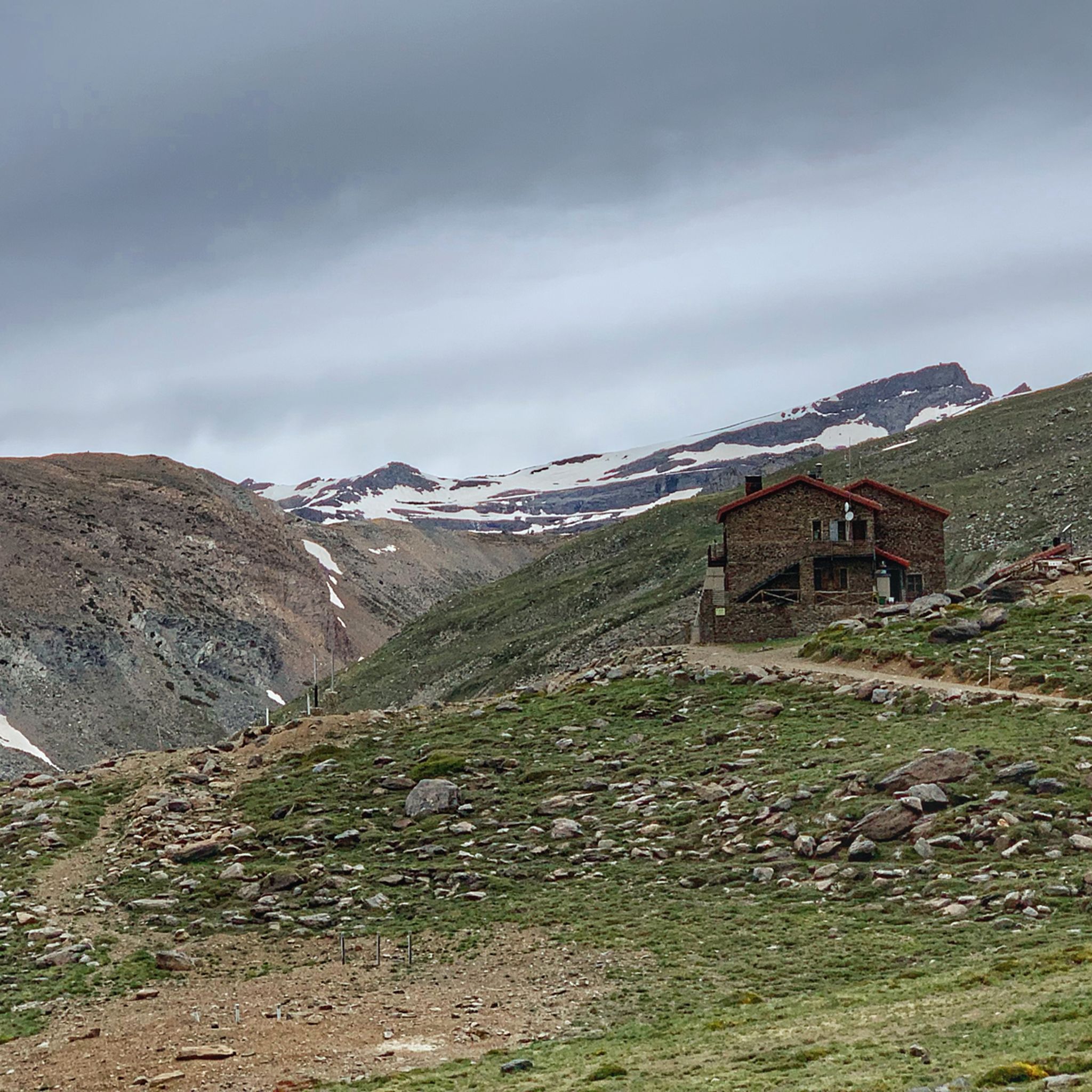
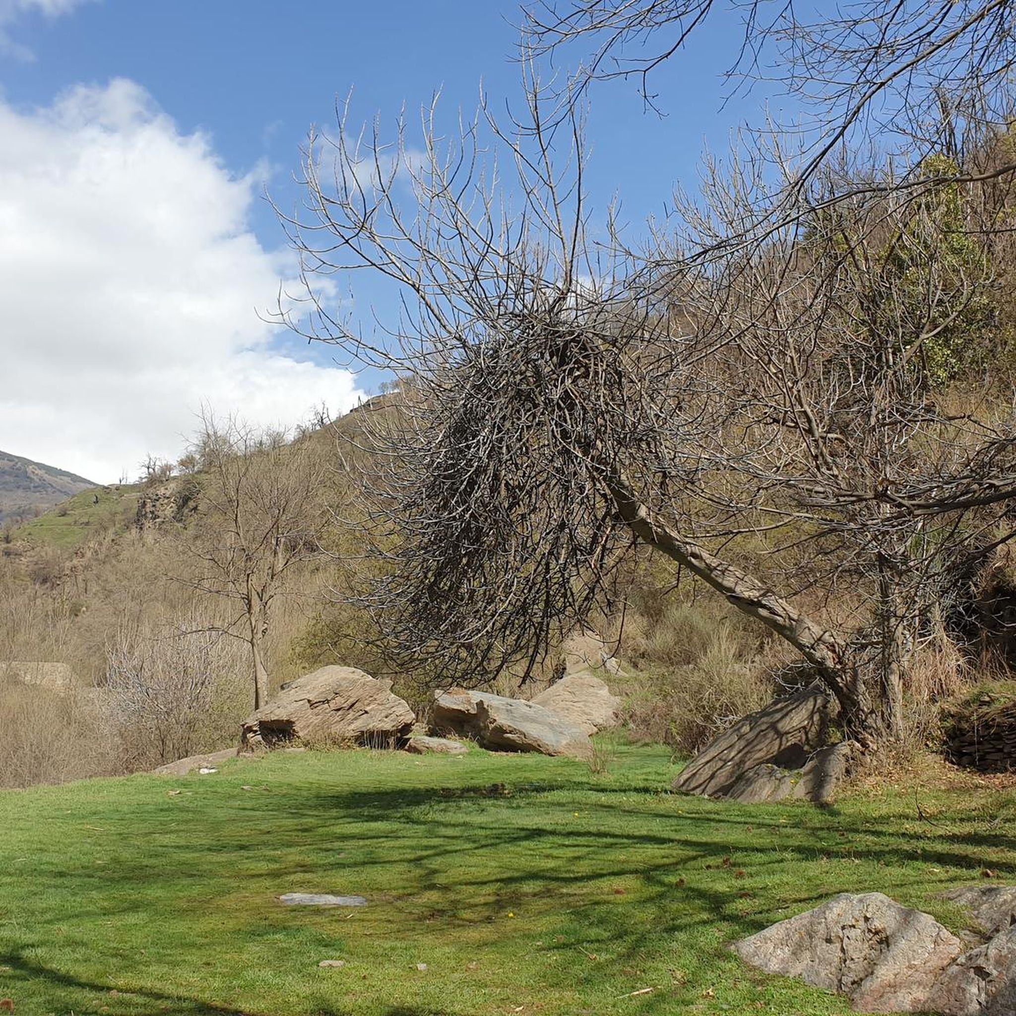

Other adventures around Pampaneira

Tips from the Community

Órgiva is a charming Spanish municipality located in the province of Granada, in Andalusia, and is historically considered the capital and administrative center of the western Alpujarra. This town of about 6,000 inhabitants stands at an altitude of 450 meters in the fertile valley of the Guadalfeo River, right at the foot of the Sierra Nevada Natural Park.
0
0

Murals with Scenes and Names of Villages Each mural depicts typical scenes of the Alpujarra villages, with white houses, churches, and landscapes, accompanied by the village's name in large letters. The most prominent is the mural with the word "Órgiva" and an image of its twin-towered church.
9
0
In Órgiva, the tile murals dedicated to the villages of the Alpujarra region are located in the Plaza de la Alpujarra, an emblematic space in the town center. Ceramic Map of the Alpujarra This large tile mural displays a detailed map of the region, including villages such as Lanjarón, Pampaneira, Bubión, Capileira, Trevélez, Cádiar, and Torvizcón, among others. The design includes rivers, mountains, and roads, making it an ideal tool for orientation and route planning.
9
0
The municipality of Órgiva is part of the Sierra Nevada Natural Park and is located on its southern slopes. Known as the capital of the Alpujarra region of Granada, it is an ideal destination for combining culture, nature, and gastronomy.
11
0
The Veleta Peak viewpoint, located in the Sierra Nevada mountains (Granada), is one of the most spectacular spots to enjoy panoramic high-mountain views on the Iberian Peninsula. From the summit of Veleta you can enjoy: Views of the Mediterranean Sea on clear days. Panoramic views of Mulhacén, the highest peak on the peninsula. High-mountain landscapes with rock formations, snow (in winter), and native flora.
2
0
Capileira is a wonderful destination to visit! This charming village is located in the Alpujarra Granadina, in the foothills of Sierra Nevada, and offers a unique blend of natural beauty and cultural heritage.
4
1

The toilets weren't open during winter.
0
0

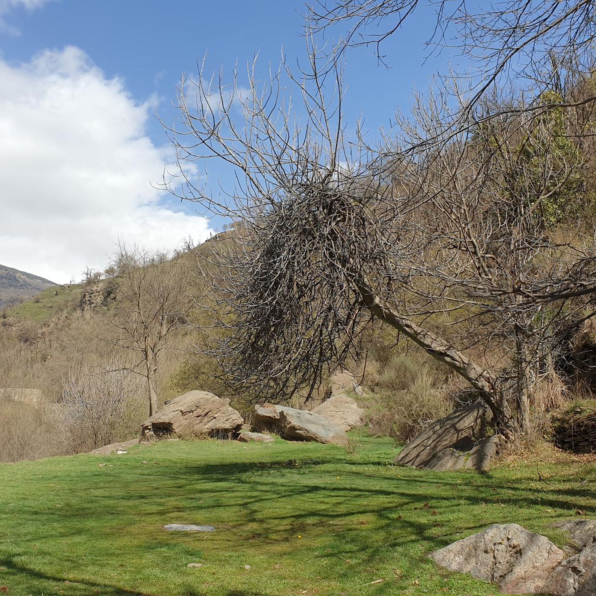
Nice picnic spot after summiting Pico Veleta, if not spending a night here.
0
0
Frequently Asked Questions
What is the general difficulty of touring cycling routes around Pampaneira?
The touring cycling routes around Pampaneira are predominantly challenging. Out of 27 available routes, 26 are rated as difficult, with only one moderate option and no easy routes. This reflects the mountainous terrain of the Sierra Nevada National and Natural Park.
Are there any circular touring cycling routes in the Pampaneira area?
Yes, there are several circular touring cycling routes. A popular option is the Tajo de Cortés — circular gravel route from Pitres, which is 21.1 km long and offers varied terrain. Another well-liked loop is the Bubión Village – Capileira Village loop from La Taha, covering 40.5 km through traditional white villages.
What kind of landscapes can I expect to see while cycling in Pampaneira?
Pampaneira offers diverse and stunning landscapes. You'll cycle through mountainous ravines with lush vegetation, including ancient oak and chestnut trees, and experience high-altitude viewpoints offering panoramic vistas of peaks like Mulhacén and Veleta. The Poqueira River meanders through the area, adding to the picturesque scenery.
What do other touring cyclists say about the routes in Pampaneira?
The touring cycling routes in Pampaneira are highly regarded by the komoot community, with an average rating of 4.6 stars from over 28 reviews. Cyclists often praise the stunning mountain scenery, the quiet roads, and the rewarding challenge of the climbs.
Are there any notable viewpoints along the touring cycling routes?
Absolutely. Many routes feature significant elevation changes that lead to breathtaking viewpoints. For extensive climbs and panoramic views of the Sierra Nevada peaks, consider the challenging Tajos del Ángel Viewpoint – Pico Veleta viewpoint loop from Capileira.
What attractions or natural features can I find near the touring cycling routes?
The area around Pampaneira is rich in natural beauty. You can discover several gorges, including the dramatic Poqueira Gorge, and visit the Tajo de Cortés Waterfall. There are also beautiful high-altitude lakes such as Hondera Lagoon and Mares' Lagoon, which are part of the Sierra Nevada National Park.
Can I cycle through traditional white villages in the region?
Yes, touring cycling in Pampaneira often connects you with the iconic white villages of the Alpujarra. The Bubión Village – Capileira Village loop from La Taha is a great example, taking you through these charming settlements known for their unique architecture and cobbled streets.
What is the best time of year for touring cycling in Pampaneira?
Pampaneira benefits from near year-round sunshine and pleasant temperatures, making it suitable for cycling for much of the year. The region's climate allows for a long cycling season, though specific conditions can vary with altitude.
Are there any routes that explore the higher altitudes of the Sierra Nevada?
Yes, some routes venture into the higher reaches of the Sierra Nevada. The Tajos del Ángel Viewpoint – Pico Veleta viewpoint loop from Capileira is a challenging route that offers extensive climbs and takes you towards the higher parts of the Sierra Nevada, providing spectacular views of Pico Veleta.
How many touring cycling routes are available in Pampaneira?
There are 27 touring cycling routes available around Pampaneira, offering a range of challenging options for cyclists looking to explore the mountainous terrain of the Sierra Nevada.
Are there any routes that pass by gorges or river areas?
Many routes in the Pampaneira area traverse the dramatic Poqueira Gorge, characterized by lush vegetation and the meandering Poqueira River. You can also find highlights like the Path through the Trevélez Gorge and the Stone Bridge Over the Trevélez Gorge in the vicinity.
Most popular routes around Pampaneira
Most popular attractions around Pampaneira

Get inspired with the komoot mobile app


Explore more
Browse the best Cycling routes in other regions.
