The best walks and hikes around Las Majadas
4.6
(402)
2,361
hikers
41
hikes
Hiking around Las Majadas, located within the Natural Park of the Serranía de Cuenca, features a landscape shaped by karstic rock formations, deep ravines, and extensive pine forests. The region's average altitude exceeds 1,300 meters, contributing to its distinct geological features and diverse flora. Notable formations include "Los Callejones de Las Majadas," a labyrinth of natural stone alleys sculpted by erosion. The area offers a network of trails through these unique geological structures and dense woodlands.
Best hiking trails around…
Last updated: October 12, 2026
4.9
(130)
651
hikers
9.83km
03:02
340m
340m
Moderate hike. Good fitness required. Easily-accessible paths. Suitable for all skill levels.
4.9
(129)
643
hikers
Moderate hike. Good fitness required. Mostly accessible paths. Sure-footedness required.

5.0
(8)
94
hikers
Easy hike. Great for any fitness level. Easily-accessible paths. Suitable for all skill levels.
4.9
(14)
62
hikers
Easy hike. Great for any fitness level. Easily-accessible paths. Suitable for all skill levels.
4.9
(9)
35
hikers
Moderate hike. Good fitness required. Easily-accessible paths. Suitable for all skill levels.
Get access to more routes and recommendations from other explorers.
Already have an account?
Our route recommendations are based on thousands of hikes, rides, and runs completed by other people on komoot.
Start today with a free account
Your next adventure awaits.
Tips from the Community

A veritable rock festival.
0
1
The Refrentón is one of the attractions of the route.
1
1
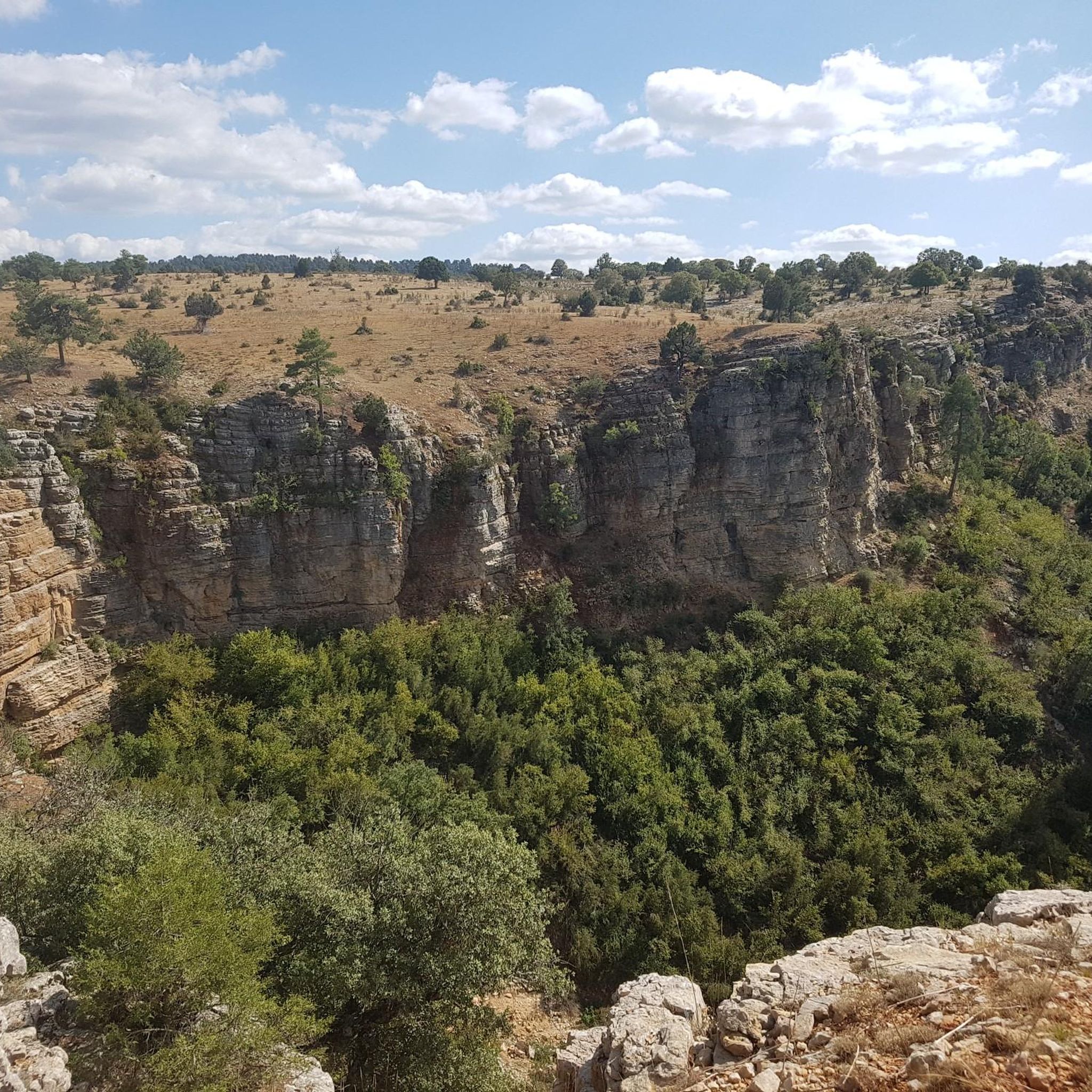
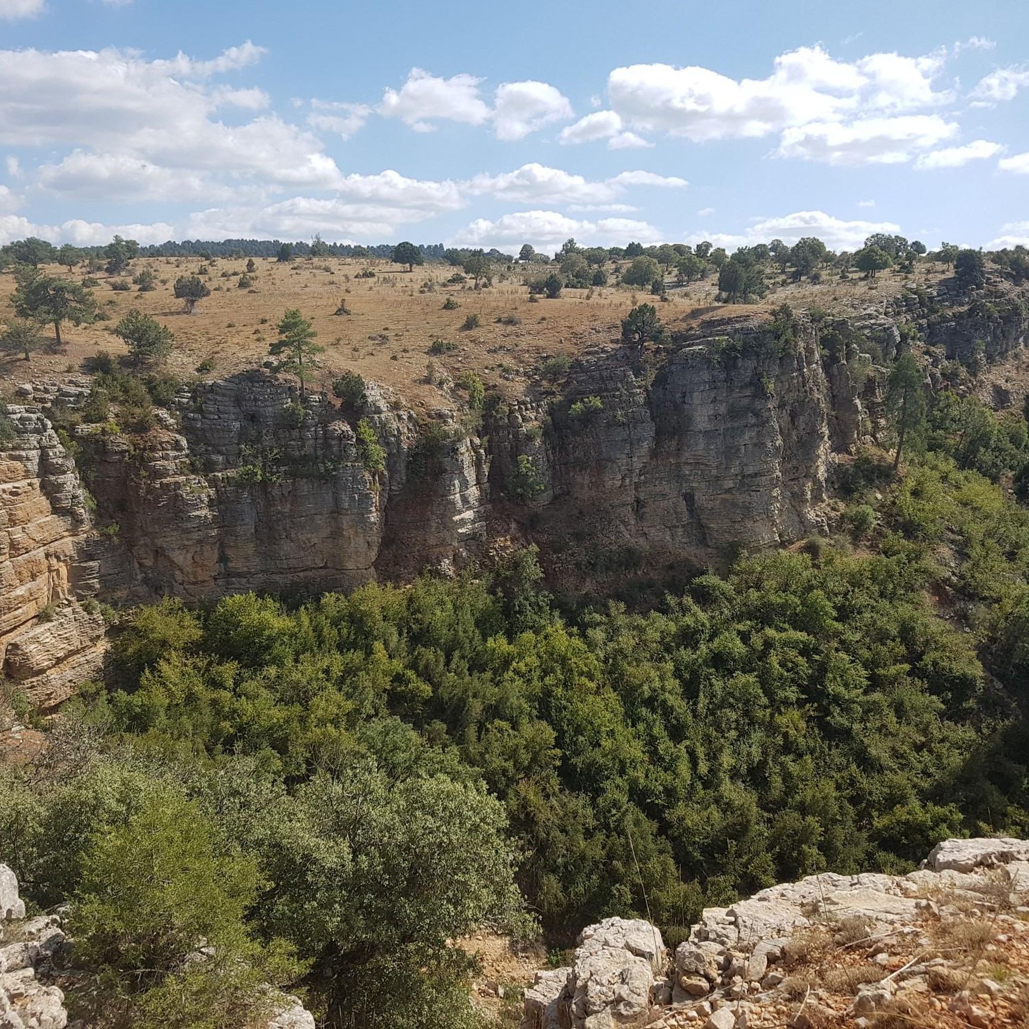
One of the most impressive viewpoints in the area.
0
1

Laguna de Uña is a rich ecosystem of flora and fauna that is located at 1,150 meters of altitude, 34 km from the city of Cuenca. It occupies an area of about 15 hectares, which extends at the confluence of the Rincón stream with the Júcar river. This lagoon is located in the heart of the Serranía de Cuenca Natural Park, in a karst terrain where it is almost a miracle that the waters do not leak. Its formation is due to the construction of canals and dams in the 20th century. Laguna de Uña awaits you with its charm and beauty! 🌿🌊
1
1

The Lagoon is the Center of the entire Landscape. The route runs mainly around it.
1
0
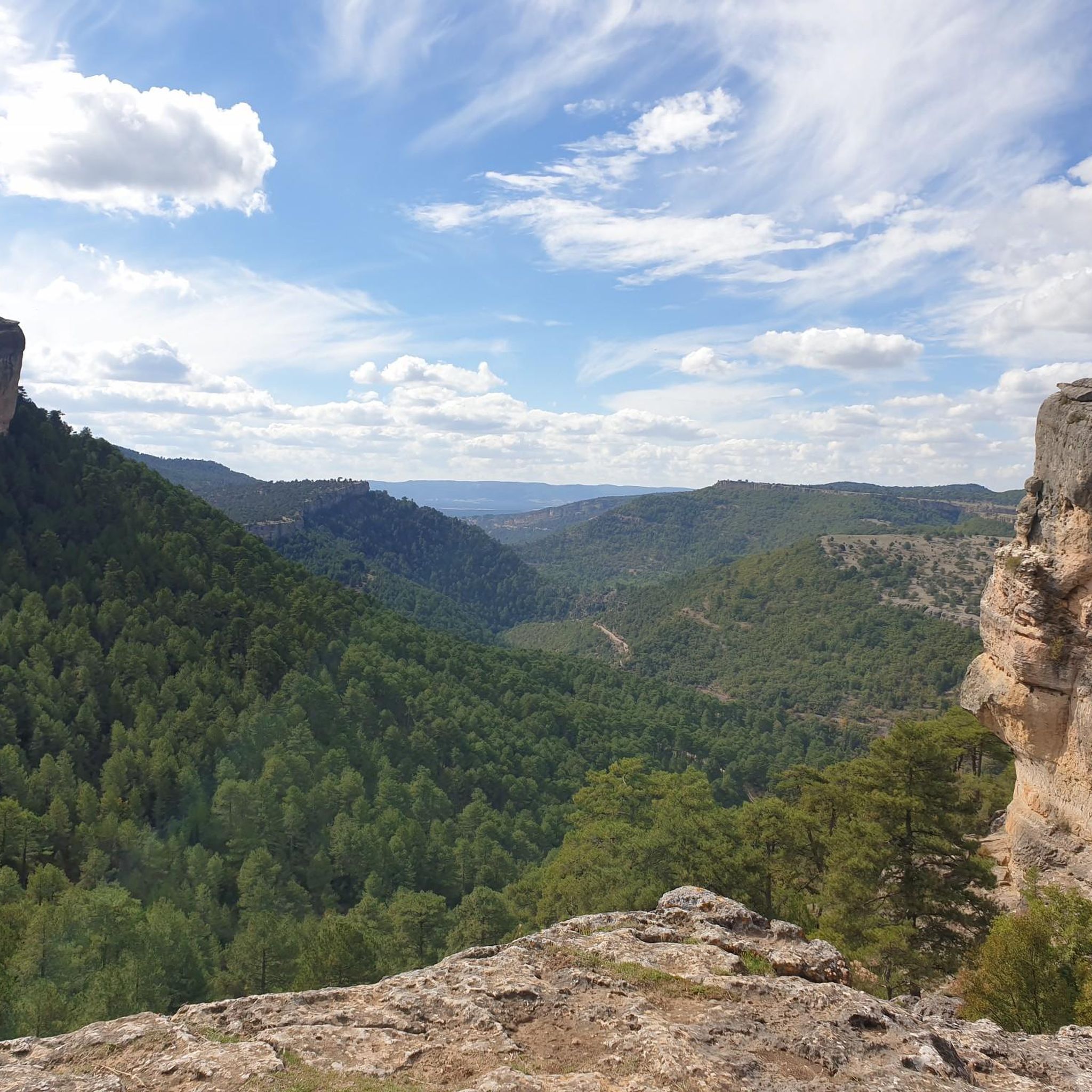
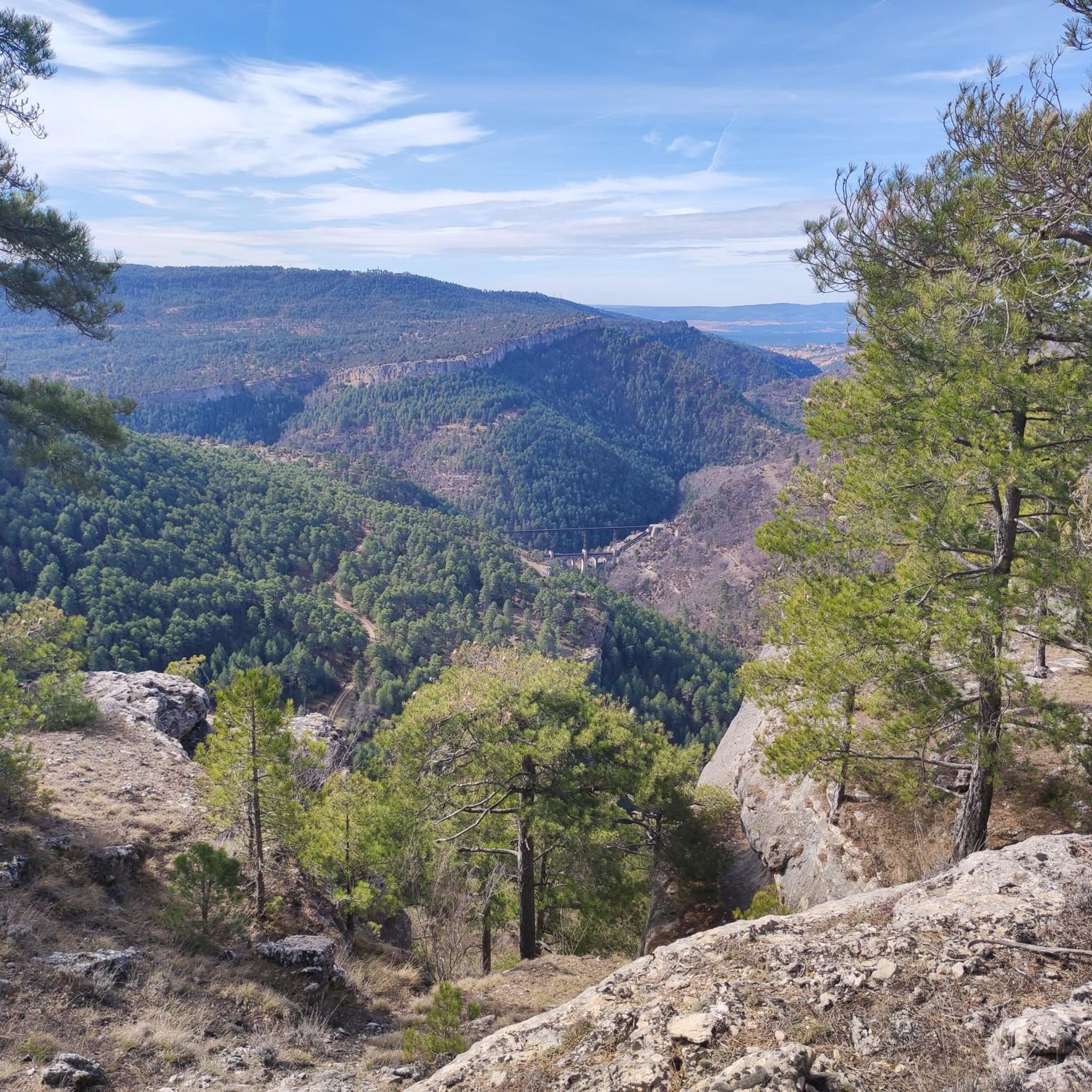
Extraordinary views, as from all the viewpoints on this route.
2
1
One of the most beautiful viewpoints in La Laguna de Uña.
1
0
The Callejones de Las Majadas are a natural area in Las Majadas, province of Cuenca (Spain), in which the erosion of the Cretaceous limestone rocks produced curious shapes such as passages, arches, monoliths or bridges, configuring a landscape similar to that of the City Enchanted, although smaller in size and surface than this one. These large rocks, shaped over the years by the erosion of wind and water, form a true labyrinth inside.
6
0
Frequently Asked Questions
How many hiking trails are there in Las Majadas?
Las Majadas offers a wide variety of hiking experiences, with over 40 routes available. These range from easy strolls to more challenging treks, ensuring there's something for every hiker.
What makes the landscape of Las Majadas unique for hiking?
The region is renowned for its distinctive karstic rock formations, often called 'Los Callejones de Las Majadas' or 'Alleys of Stone'. These natural sculptures, shaped by erosion, create a labyrinthine maze of bridges, arches, and whimsical figures. The area also features deep ravines, gorges, and extensive pine forests, providing a diverse and captivating environment for exploration. You can learn more about these unique formations on Atlas Obscura.
Are there easy hiking trails suitable for beginners or families?
Yes, Las Majadas has 11 easy routes perfect for beginners or families. A great option is the Tour of Los Callejones de Las Majadas, which is 2.3 miles (3.7 km) long and takes about an hour, leading you through the iconic rock formations.
What is the best time of year to go hiking in Las Majadas?
Las Majadas experiences cold winters and mild summers due to its altitude. Spring is particularly beautiful, with trails bursting with wildflowers, hawthorn blossoms, and wild roses. Autumn also offers stunning scenery as the melojo oaks turn reddish hues. Summers are mild, making it pleasant for hiking, while winters can be cold but offer a different, serene beauty.
Are there any circular hiking routes in the area?
Yes, many routes in Las Majadas are circular, allowing you to start and end at the same point. A popular choice is the Route of the Fuentecillas and the Callejones, a moderate 8.2-mile (13.2 km) circular trail that takes you through pine forests and past water features.
What kind of wildlife can I expect to see while hiking?
The area is rich in biodiversity. Hikers often spot deer, fallow deer, roe deer, wild boars, ibex, and mouflon. Birdwatchers can look out for griffon vultures, golden eagles, goshawks, and sparrowhawks soaring overhead, while dippers and kingfishers inhabit the rivers.
Are there any viewpoints with panoramic views?
Absolutely. The Ventano del Diablo is a well-known viewpoint offering spectacular vistas. Another notable spot is the Puntal de la Tola Viewpoint, and the Mirador del Tío Cogote, located just 2 km from Los Callejones, provides stunning panoramic views of the Júcar River canyon.
Can I find waterfalls along the hiking trails?
Yes, the region features charming natural spots with water features. The Paraje de la Dehesa de los Olmos is a hidden gem with a seasonal waterfall surrounded by pine forests. You can also find the Cascada del Fraile, another scenic spot with water.
What do other hikers say about the trails in Las Majadas?
The hiking routes in Las Majadas are highly rated by the komoot community, with an average score of 4.7 stars from over 320 reviews. Hikers frequently praise the unique karstic rock formations, the tranquility of the pine forests, and the well-marked paths that make exploration enjoyable.
Are there any other natural attractions nearby worth visiting?
Beyond the trails, you can explore the intriguing Enchanted City, another site with unique rock formations. The beautiful Uña Lagoon is also a tranquil spot for nature lovers. For those interested in wildlife, the nearby El Hosquillo Wildlife Park offers further opportunities for animal sightings.
Is public transport available to access hiking trails in Las Majadas?
While specific public transport routes directly to all trailheads might be limited, the main villages in the Serranía de Cuenca Natural Park, including Las Majadas, are generally accessible by regional bus services from Cuenca. It's advisable to check local bus schedules in advance for the most up-to-date information on routes and timings to plan your access to the hiking areas.
Are there any challenging routes for experienced hikers?
Yes, while there are many easy and moderate options, Las Majadas also offers 3 routes classified as difficult for those seeking a greater challenge. These routes typically feature more significant elevation gains and varied terrain, providing a rewarding experience for experienced hikers.
Most popular attractions around Las Majadas

Get inspired with the komoot mobile app


Explore more
Browse the best Hikes in other regions.
