The best running trails around Villaverde De Guadalimar
4.3
(5)
518
runners
16
runs
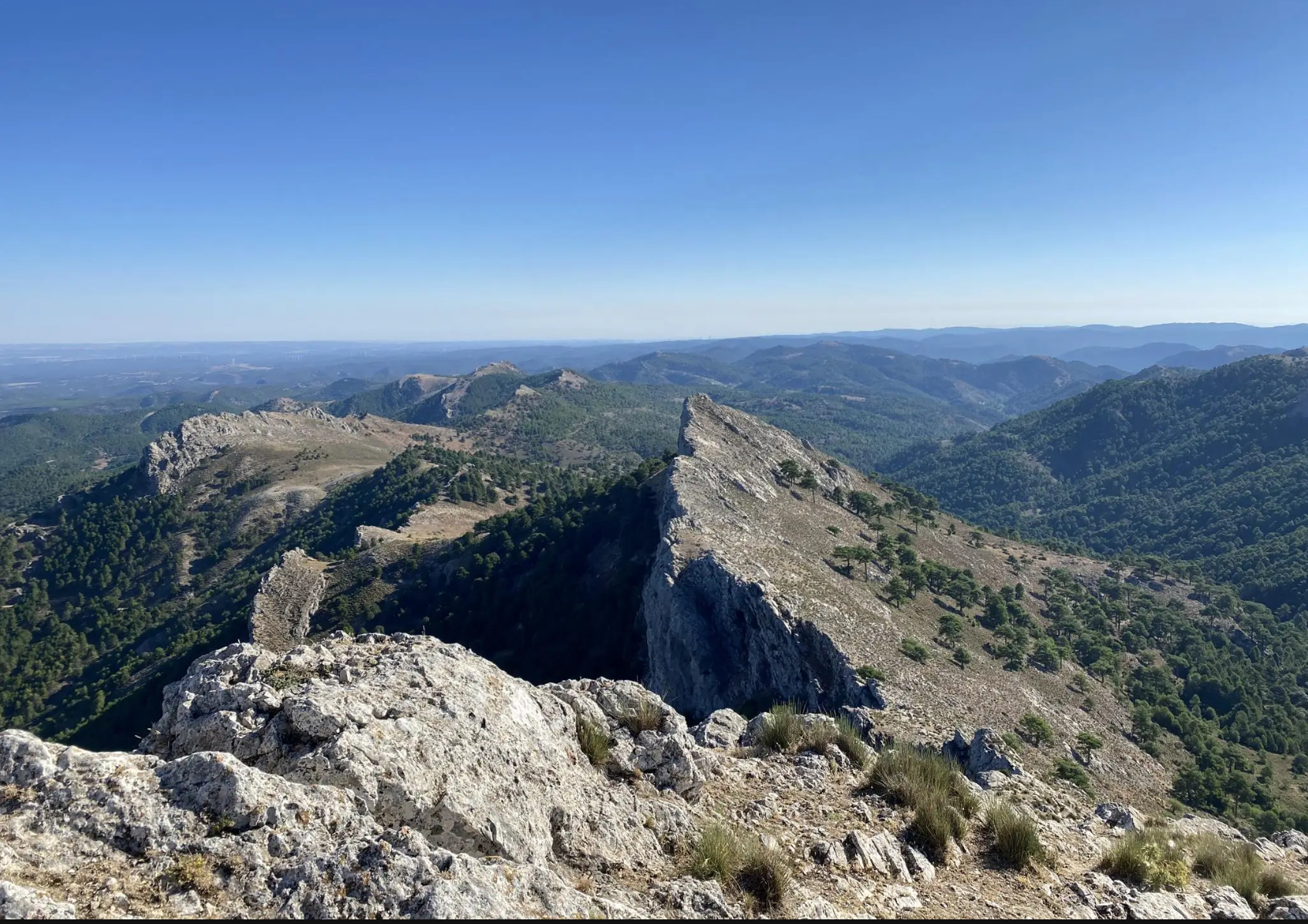
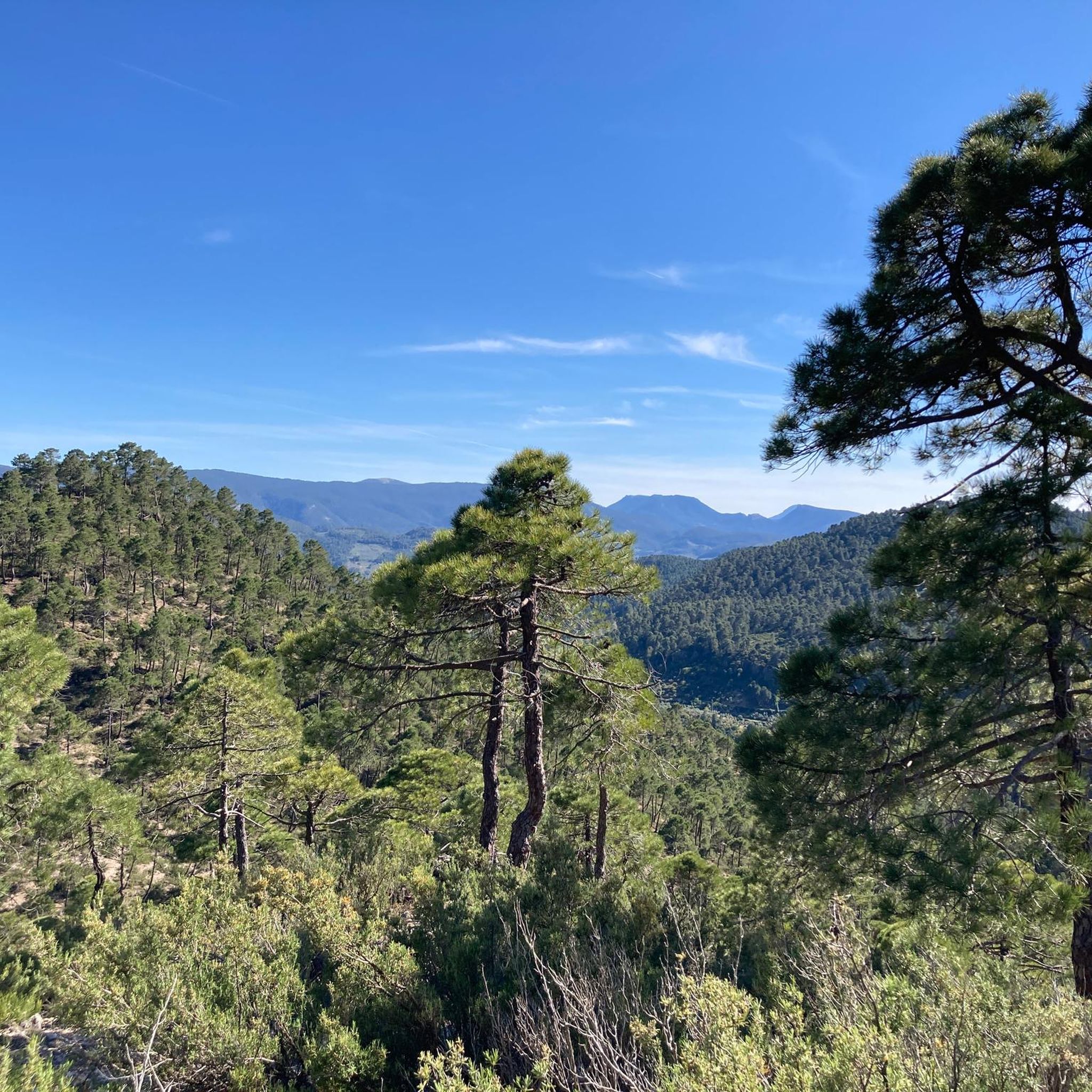
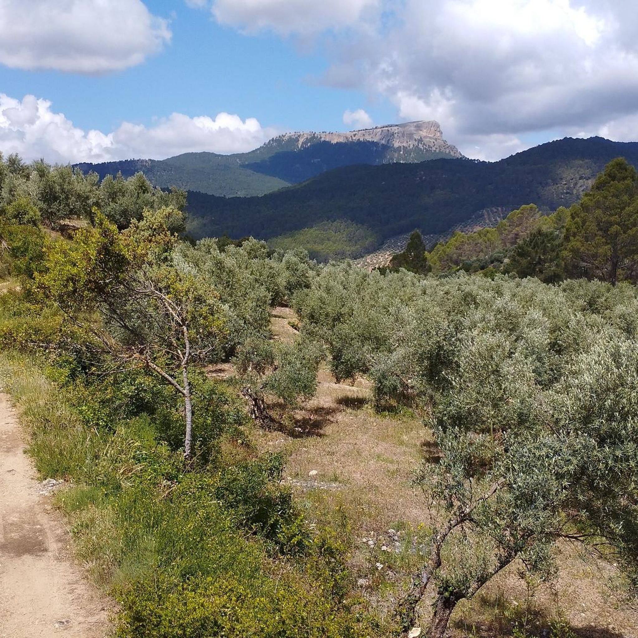
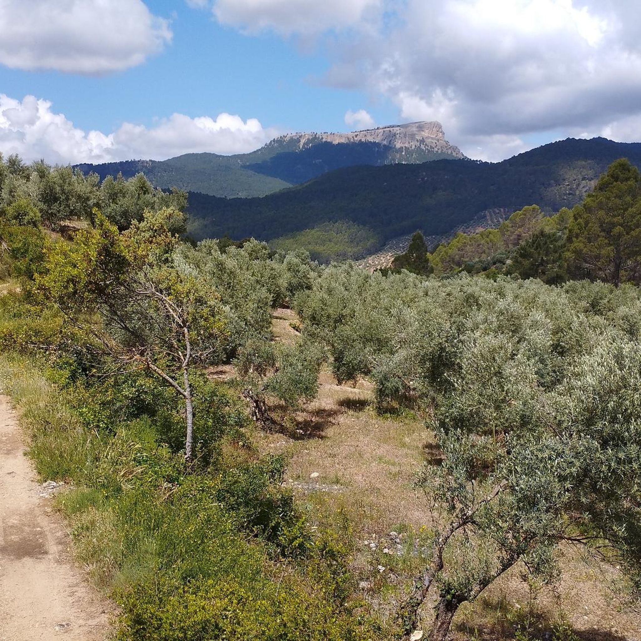
Jogging routes around Villaverde De Guadalimar traverse a diverse landscape within the Sierra de Alcaraz and the Parque Natural de los Calares del Mundo y de la Sima. The region features varied terrain, from riverbanks to challenging mountain paths with significant elevation changes. Runners can explore areas characterized by geological formations like Los Picarazos, deep valleys, and high peaks such as Pico de la Sarga. This natural setting provides a range of running experiences for different fitness levels.
Best jogging…
Last updated: September 30, 2026
24
runners
29.2km
04:20
1,420m
1,420m
Hard run. Very good fitness required. Mostly paved surfaces. Suitable for all skill levels.
5
runners
5.37km
00:39
120m
120m
Moderate run. Good fitness required. Mostly paved surfaces. Suitable for all skill levels.

8
runners
15.2km
02:27
930m
930m
Hard run. Very good fitness required. Mostly paved surfaces. Suitable for all skill levels.
7
runners
19.0km
02:56
1,020m
1,020m
Hard run. Very good fitness required. Mostly paved surfaces. Suitable for all skill levels.
7
runners
9.47km
01:06
190m
190m
Moderate run. Good fitness required. Mostly paved surfaces. Suitable for all skill levels.
Get access to more routes and recommendations from other explorers.
Already have an account?
Our route recommendations are based on thousands of hikes, rides, and runs completed by other people on komoot.
Start today with a free account
Your next adventure awaits.
Other adventures around Villaverde De Guadalimar

Tips from the Community

Well marked trail except for about 500m that you have to create your own path. But in general a highly recommended route.
0
0

The rich landscape of this municipality, and its plant heritage, make it one of the most interesting for nature lovers, who can lose themselves among the streams and creeks that run through its area, such as the Arroyo de Fuente del Tejo, or climb the Picos de La Sagra and El Padrón, from where they can delight in the view of the entire Guadalimar Valley.
1
0
The Cross of the Fallen in Villaverde de Guadalimar is a monument that evokes the memory of those who lost their lives in war conflicts. This cross, located in the town of Villaverde de Guadalimar, has an imposing height of 150 meters, with arms of 24 meters each. In fact, it is crowned the highest cross in the world.
2
0

Villaverde de Guadalimar is a good starting point for your adventure through the Los Calares del Mundo and La Sima natural park. Spectacular views of the exposed rock at La Peña del Cambrón.
1
1

Known for its crystal clear and fresh water, and it is surrounded by a wooded environment of pines and holm oaks.
2
0
A place with some very curious rock formations, and with spectacular views.
2
0
A monument built in honor of those who died in the Spanish Civil War (1936-1939).
2
1

It is the second highest peak (1780 meters) of the Alcaraz mountain range and a panoramic balcony of the surrounding mountains and the fabulous Calar del Mundo.
0
0
Frequently Asked Questions
How many running routes are available around Villaverde de Guadalimar?
There are over 10 dedicated running routes around Villaverde de Guadalimar, offering a variety of experiences for different fitness levels. Most of these routes are considered challenging, traversing mountain trails, river valleys, and unique rock formations.
Are there any easy running routes suitable for beginners or families?
While most routes in the area are challenging, the region does offer some less strenuous options. For a leisurely jog or a family outing, consider La Senda Encantada, an 'Enchanted Path' that is 6 km round trip with a low elevation gain, featuring symbolic markers and local legends. This path is ideal for those seeking a gentler experience.
What kind of unique natural features can I see while running in Villaverde de Guadalimar?
The area is rich in unique natural features. You can encounter the impressive Los Picarazos, curious geological rock formations at the foot of Pico de la Sarga, which offer panoramic views of the Guadalimar valley. Additionally, the Arroyo del Tejo stream provides a refreshing and scenic experience with its cascades and small water pools. For a truly spectacular sight, some routes lead towards the Source of the Mundo River, where the river emerges with a powerful waterfall.
Are there circular running routes available?
Yes, many of the running routes around Villaverde de Guadalimar are circular, allowing you to start and finish in the same location. Examples include the challenging Arroyo del Tejo Spring – Los Picarazos loop from Villaverde de Guadalimar, or the Los Picarazos – Mirador de Los Picarazos loop from Villaverde de Guadalimar, which takes you through the unique rock formations.
What are the typical durations for running routes in this region?
The running routes in Villaverde de Guadalimar vary significantly in length and difficulty. For instance, the Los Picarazos – Mirador de Los Picarazos loop is about 16.2 km and can take around 2 hours 30 minutes. More extensive routes, like the Arroyo del Tejo Spring – Los Picarazos loop, are 35.2 km and can take over 5 hours due to significant elevation gains.
Can I bring my dog on the running trails?
The natural parks and trails around Villaverde de Guadalimar are generally welcoming to dogs, especially if kept on a leash to protect wildlife and ensure the safety of other users. Always check specific park regulations or trail signs for any restrictions, particularly in protected areas like the Parque Natural de los Calares del Mundo y de la Sima.
What are some of the best viewpoints accessible on a run?
For breathtaking panoramic views, consider routes that lead to the Chorros Viewpoint, located on the heights of Calar del Mundo, offering vistas of the Mundo River valley. The area around Los Picarazos also provides excellent vantage points of the Guadalimar valley. For the most expansive views, challenging runs up to Pico de la Sarga (over 1700 m) or Piedra del Cambrón (over 1500 m) can reward you with sights extending across multiple provinces.
What makes the terrain around Villaverde de Guadalimar unique for running?
The terrain is exceptionally diverse, ranging from gentle paths along riverbanks to challenging mountain routes with significant elevation gains. It's characterized by the dramatic landscapes of the Sierra de Alcaraz and the Parque Natural de los Calares del Mundo y de la Sima, featuring unique geological formations like Los Picarazos, deep valleys, and high peaks such as Pico de la Sarga. This variety allows for both scenic and strenuous running experiences.
What do other runners enjoy most about the trails in Villaverde de Guadalimar?
The running routes in Villaverde de Guadalimar are highly rated by the komoot community, with an average score of 4.0 stars. Runners often praise the stunning natural scenery, the diverse and challenging terrain, and the opportunity to explore unique geological formations and impressive natural phenomena like the Nacimiento del Río Mundo.
Are there options for more challenging trail running or endurance activities?
Absolutely. Villaverde de Guadalimar is well-suited for serious trail running. The region hosts an annual Vertical Trail race with distances up to 39.9 km and significant elevation changes, highlighting its suitability for endurance activities. Routes like the Running loop from Villaverde de Guadalimar, which is 18.0 km with a substantial climb, offer a great challenge.
What is the best time of year to go running in Villaverde de Guadalimar?
The diverse terrain of Villaverde de Guadalimar offers running opportunities throughout the year. Spring and autumn provide pleasant temperatures and vibrant natural colors, ideal for exploring. Summer mornings or late afternoons can be great for higher altitude trails, while winter offers a unique, crisp experience, though some higher paths might require more preparation due to weather conditions.
Most popular routes around Villaverde De Guadalimar
Most popular attractions around Villaverde De Guadalimar

Get inspired with the komoot mobile app


Explore more
Browse the best Running Trails & Routes in other regions.
