The best walks and hikes around Baliarrain
4.5
(318)
3,089
hikers
142
hikes
Hiking around Baliarrain offers access to a landscape characterized by rolling hills, green valleys, and scattered woodlands typical of the Basque Country. The region features a network of trails that traverse agricultural areas and connect small villages. Elevation changes are common, providing varied perspectives of the surrounding terrain. These paths often lead to historical points of interest or natural springs.
Best hiking trails around Baliarrain
- The most popular hiking route is Ermita Altzagarate and Bailarrain via PR-GI 29 — circular…
Last updated: July 17, 2026
3
hikers
15.9km
05:05
630m
630m
Hard hike. Very good fitness required. Mostly accessible paths. Sure-footedness required.
5.0
(2)
15
hikers
5.26km
01:22
40m
40m
Easy hike. Great for any fitness level. Easily-accessible paths. Suitable for all skill levels.

Sign up for free
5.0
(1)
14
hikers
9.26km
03:06
450m
450m
Moderate hike. Good fitness required. Easily-accessible paths. Suitable for all skill levels.
5.0
(1)
13
hikers
12.9km
03:22
100m
100m
Moderate hike. Good fitness required. Easily-accessible paths. Suitable for all skill levels.
5.0
(1)
10
hikers
17.8km
06:03
740m
740m
Hard hike. Very good fitness required. Mostly accessible paths. Sure-footedness required.
Get access to more routes and recommendations from other explorers.
Sign up for free
Already have an account?
Our route recommendations are based on thousands of hikes, rides, and runs completed by other people on komoot.
Start today with a free account
Your next adventure awaits.
Login or Signup

Tips from the Community

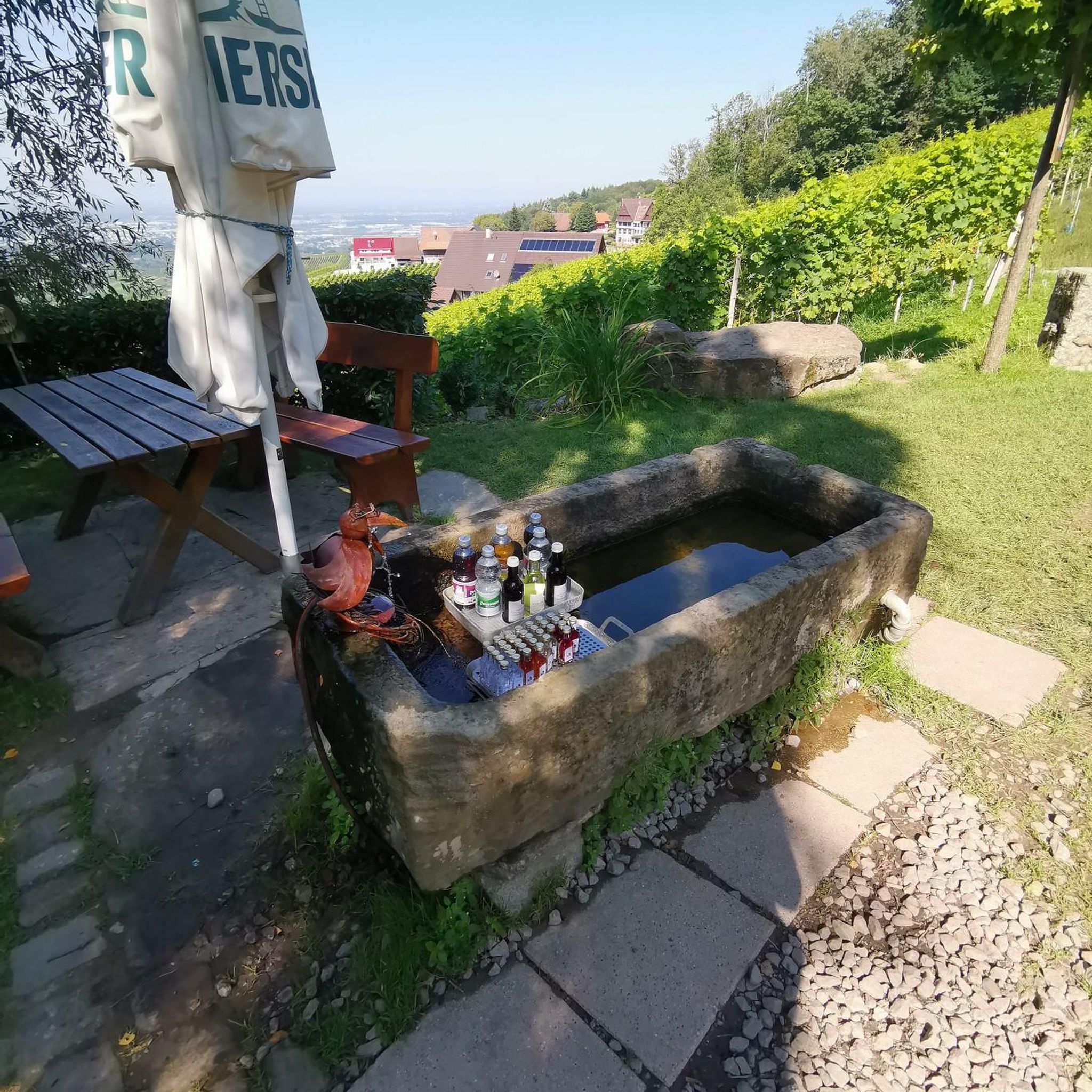
Almost everyone takes a little break at this fountain.
0
0

Now that's what I call a graphite
1
0
solved in an exemplary manner
2
1

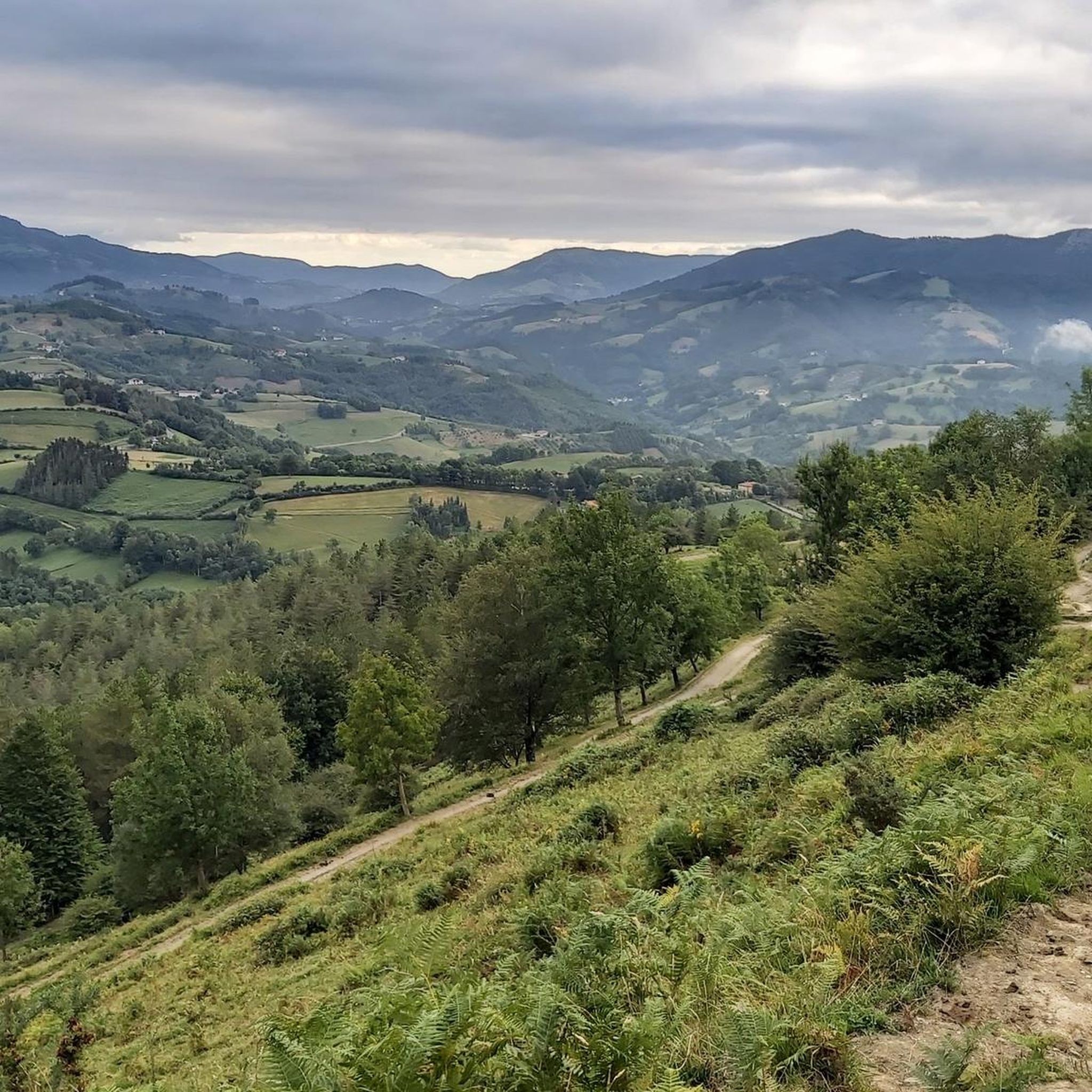
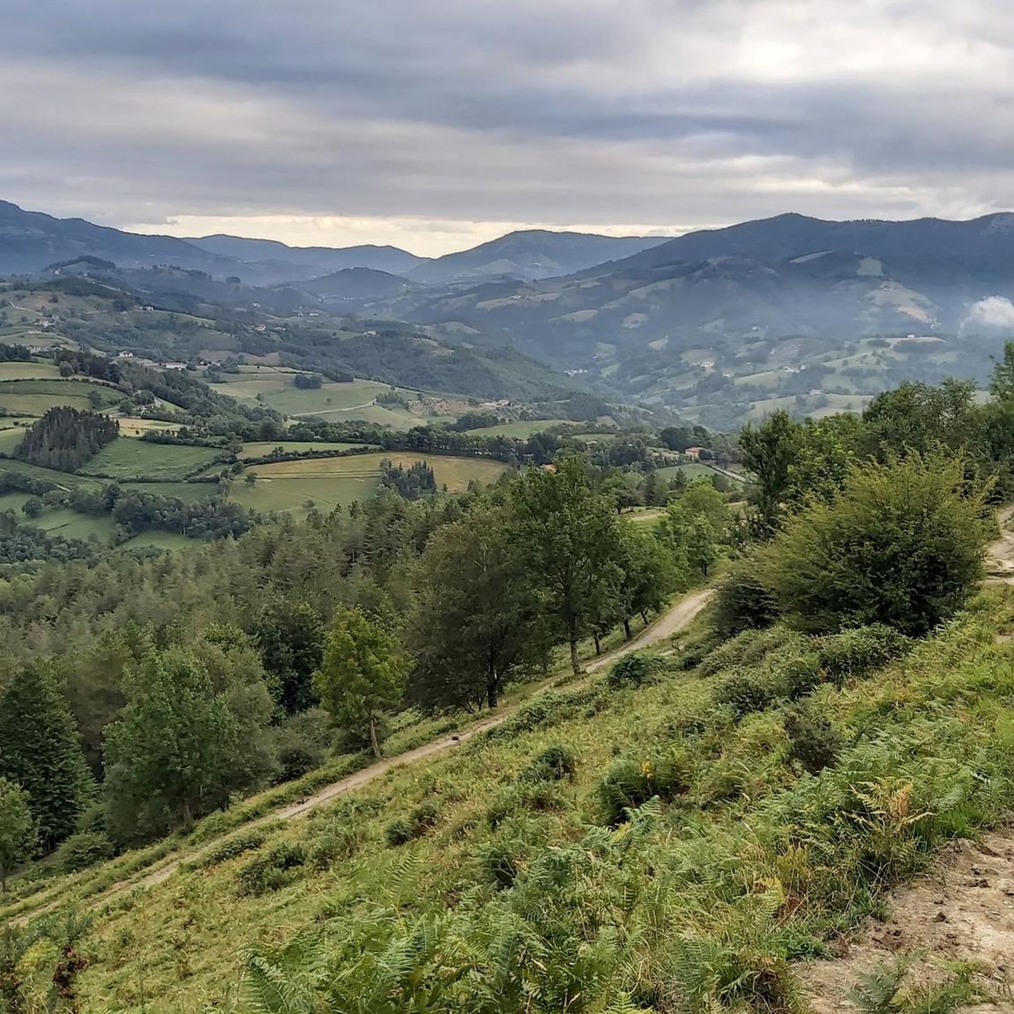
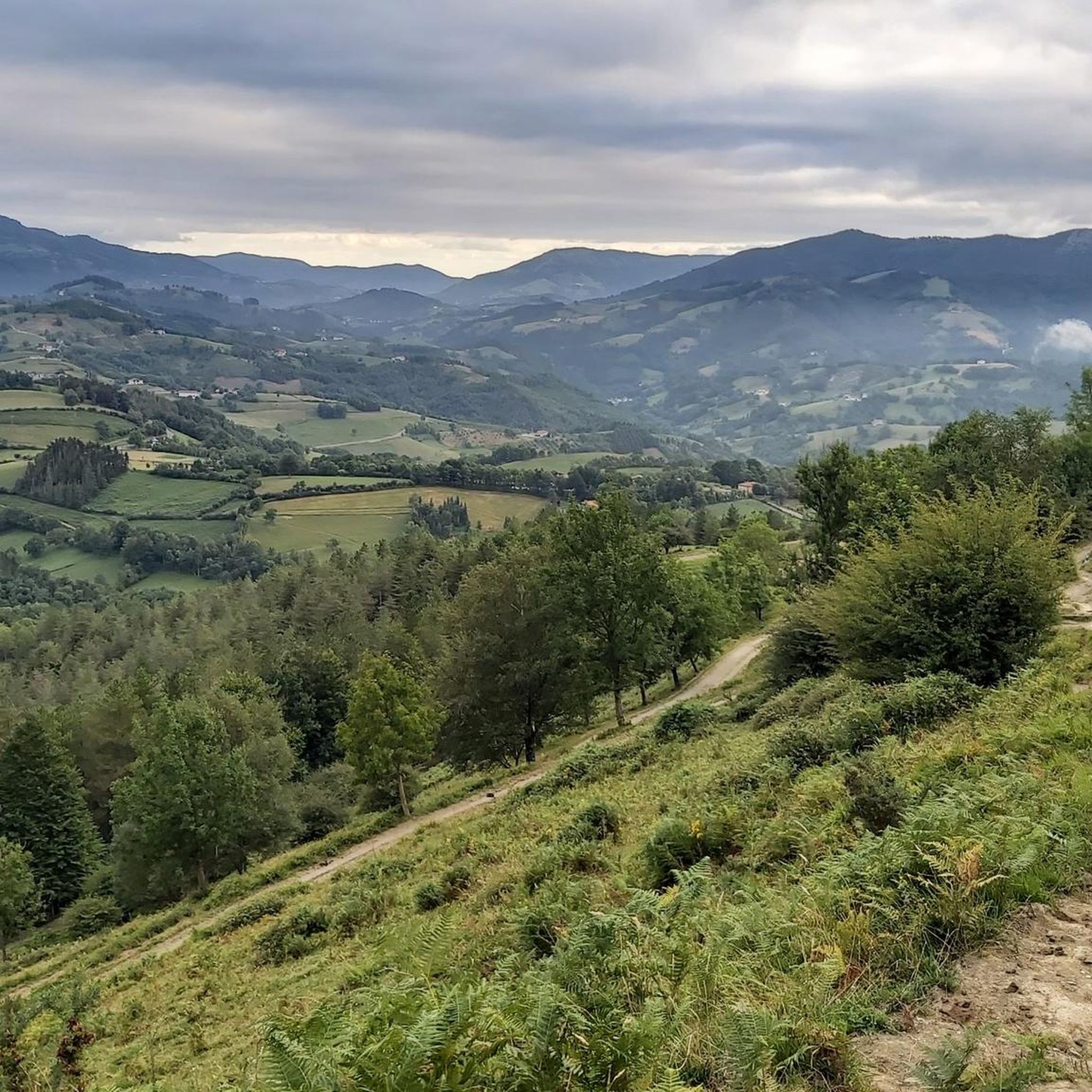
Quiet, well maintained, spectacular and with the wonderful Txindoki in the background.
0
0

Beautifully situated river source with shut-off valve
0
0
Frequently Asked Questions
How many hiking trails are available around Baliarrain?
There are over 140 hiking routes around Baliarrain, offering a wide range of options for different skill levels and preferences. These trails explore the region's characteristic rolling hills, green valleys, and scattered woodlands.
Are there easy hiking trails suitable for beginners or casual walkers?
Yes, Baliarrain offers a good selection of easy trails. You can find around 18 easy routes. For example, the House loop from Ordizia is a 3.3-mile (5.3 km) trail that takes about 1 hour 22 minutes, leading through local residential and green areas.
What kind of scenery and natural features can I expect to see on the trails?
Hiking around Baliarrain provides views of green valleys, rolling hills, and a mix of open fields and forested sections typical of the Basque Country. Many paths lead to natural springs and offer varied perspectives of the surrounding terrain. You might also encounter features like the Lareo Reservoir or the Amezketa Stream Waterfall.
Are there any challenging hikes for experienced trekkers?
Absolutely. Baliarrain has about 38 difficult routes for those seeking a challenge. One such route is the Ordizia – Murumendi Summit loop from Itsasondo, which covers 11 miles (17.8 km) with significant elevation gain, offering rewarding views from the summit.
Can I find circular hiking routes in the Baliarrain area?
Yes, many of the trails around Baliarrain are circular, allowing you to start and end at the same point. An example is the Oria Spring – Larraitz Chapel and Fountain loop from Abaltzisketa, a moderate 5.8-mile (9.3 km) path that explores natural springs and historical sites.
What are some notable landmarks or viewpoints along the hiking trails?
The region features several prominent natural landmarks. Hikers can aim for summits like Txindoki (1,346 m), Hernio Summit, or Gamboa Summit for expansive views. Many trails also pass by historical points of interest or charming hermitages.
What do other hikers say about the trails in Baliarrain?
The routes in Baliarrain are highly rated by the komoot community, with an average score of 4.5 stars from over 290 reviews. Hikers often praise the varied terrain, the natural beauty of the green valleys, and the well-maintained paths that connect small villages and historical sites.
Is Baliarrain a good destination for family-friendly hikes?
Yes, with a variety of easy and moderate trails, Baliarrain can be suitable for families. The region offers paths that are not overly strenuous, allowing for enjoyable walks through agricultural areas and woodlands. Always check the specific trail's difficulty and length to ensure it matches your family's capabilities.
Are dogs allowed on the hiking trails around Baliarrain?
Generally, dogs are welcome on many hiking trails in the Basque Country, including those around Baliarrain. However, it's always best to keep your dog on a leash, especially when passing through agricultural areas or near livestock, and to check for any specific local regulations or signage on individual routes.
What is the best time of year to go hiking in Baliarrain?
The spring and autumn months are generally ideal for hiking in Baliarrain, offering pleasant temperatures and lush landscapes. Spring brings blooming wildflowers, while autumn showcases vibrant foliage. Summer can also be enjoyable, especially in the mornings or late afternoons, though it can be warmer. Winters are milder but can bring rain or occasional snow at higher elevations.
Are there any trails that pass by cafes or places to eat?
While specific cafes directly on every trail are not guaranteed, many routes connect small villages where you can often find local establishments to refuel. Planning your hike to pass through a village like Ordizia or Itsasondo can provide opportunities for refreshments.
Is there parking available near the trailheads in Baliarrain?
Parking availability varies by trailhead. In smaller villages or near popular starting points, you can often find designated parking areas. It's advisable to check the specific starting point of your chosen route on komoot for more detailed information on parking options.
Are there any hidden gems or less-traveled paths in the area?
While the komoot community has explored many routes, the region's extensive network of trails means there are always quieter paths to discover. Exploring some of the less-frequented moderate routes, such as the Ordizia – Plaza de la Blanca Pavilion loop from Legorreta, can lead you to peaceful sections of the countryside away from the busiest spots.
Most popular attractions around Baliarrain

Get inspired with the komoot mobile app


Explore more
Browse the best Hikes in other regions.
