The best walks and hikes around Colmenarejo
4.5
(701)
3,059
hikers
18
hikes
Hiking around Colmenarejo offers diverse ecosystems, including oak groves, meadows, juniper thickets, and riverside woodlands. A significant portion of the area lies within the protected Regional Park of the Middle Course of the Guadarrama River, providing a vast natural space for outdoor activities. The broader Sierra de Guadarrama region features imposing peaks and granite formations, contributing to varied hiking terrain. This geographical setting provides a range of natural environments for exploration.
Best hiking trails around Colmenarejo
- The most popular hiking…
Last updated: July 11, 2026
5.0
(4)
15
hikers
9.30km
02:29
110m
110m
Moderate hike. Good fitness required. Easily-accessible paths. Suitable for all skill levels.
3.0
(1)
7
hikers
18.6km
05:16
390m
390m
Hard hike. Very good fitness required. Mostly accessible paths. Sure-footedness required.

Sign up for free
4.3
(3)
4
hikers
10.3km
02:50
170m
170m
Moderate hike. Good fitness required. Easily-accessible paths. Suitable for all skill levels.
4.3
(4)
19
hikers
9.86km
02:47
210m
210m
Moderate hike. Good fitness required. Easily-accessible paths. Suitable for all skill levels.
4.8
(4)
22
hikers
7.76km
02:05
90m
90m
Moderate hike. Good fitness required. Easily-accessible paths. Suitable for all skill levels.
Get access to more routes and recommendations from other explorers.
Sign up for free
Already have an account?
Our route recommendations are based on thousands of hikes, rides, and runs completed by other people on komoot.
Start today with a free account
Your next adventure awaits.
Login or Signup
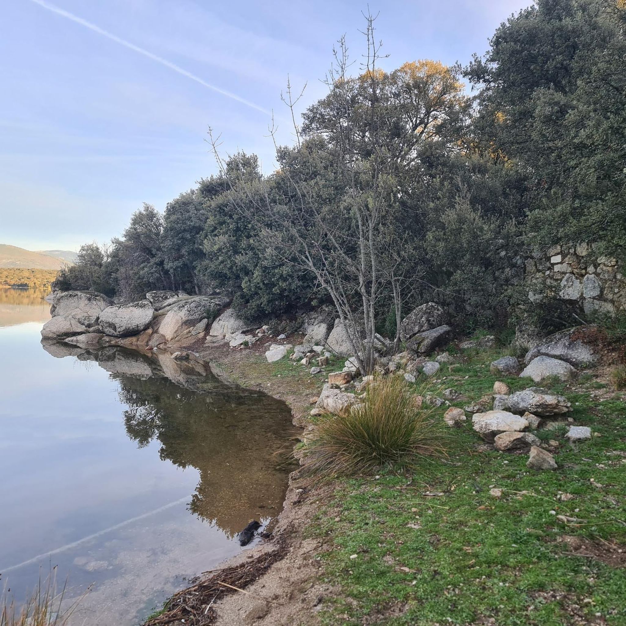
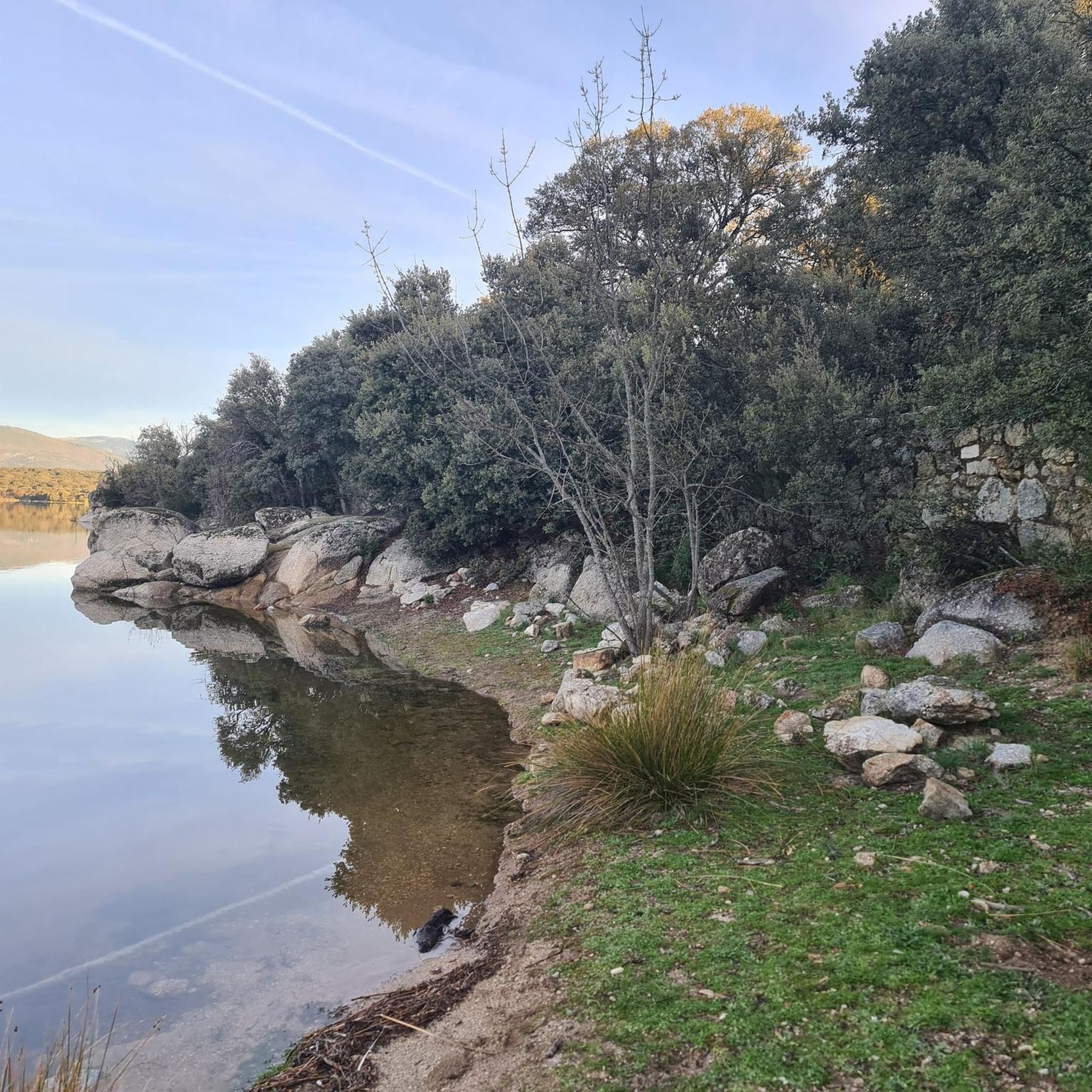
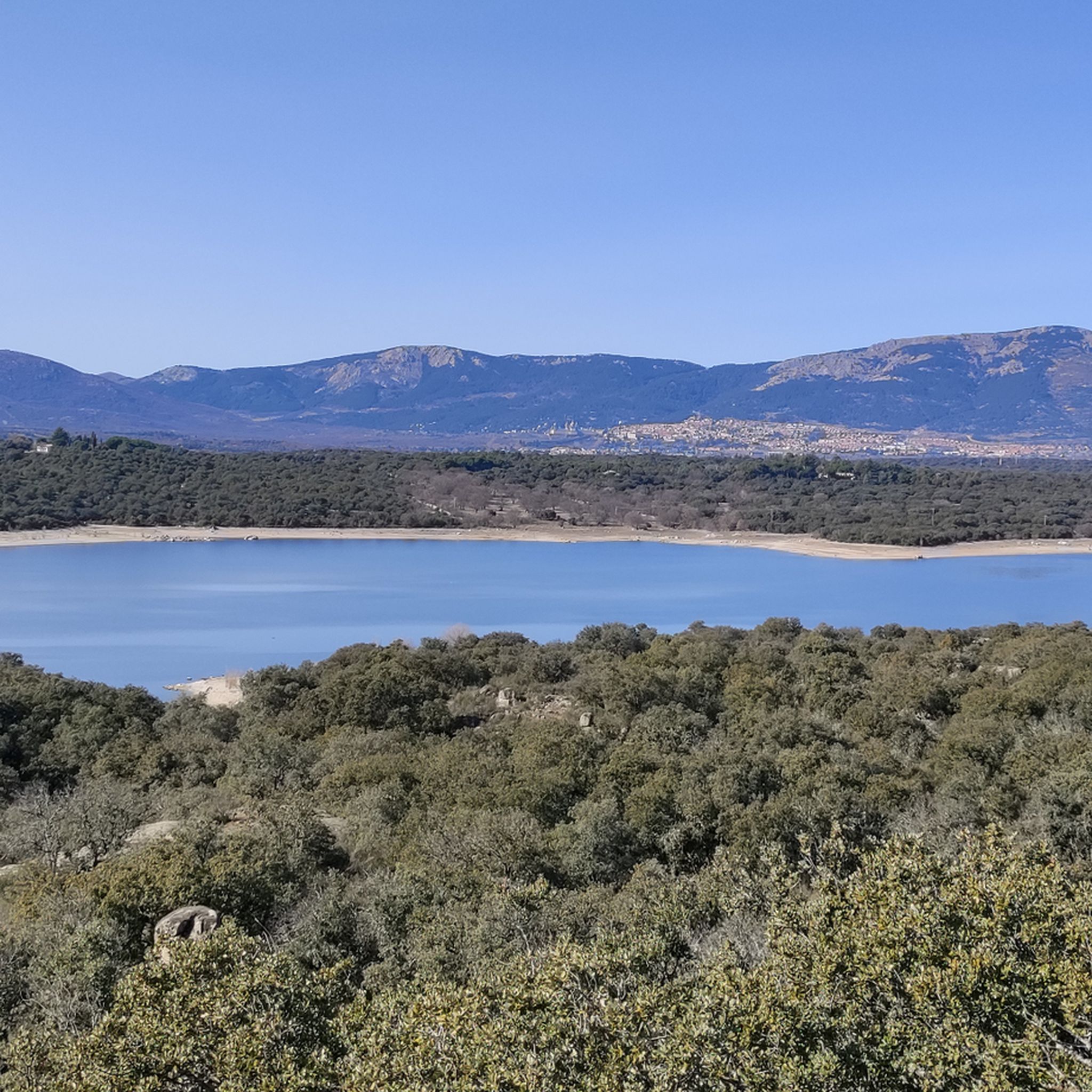

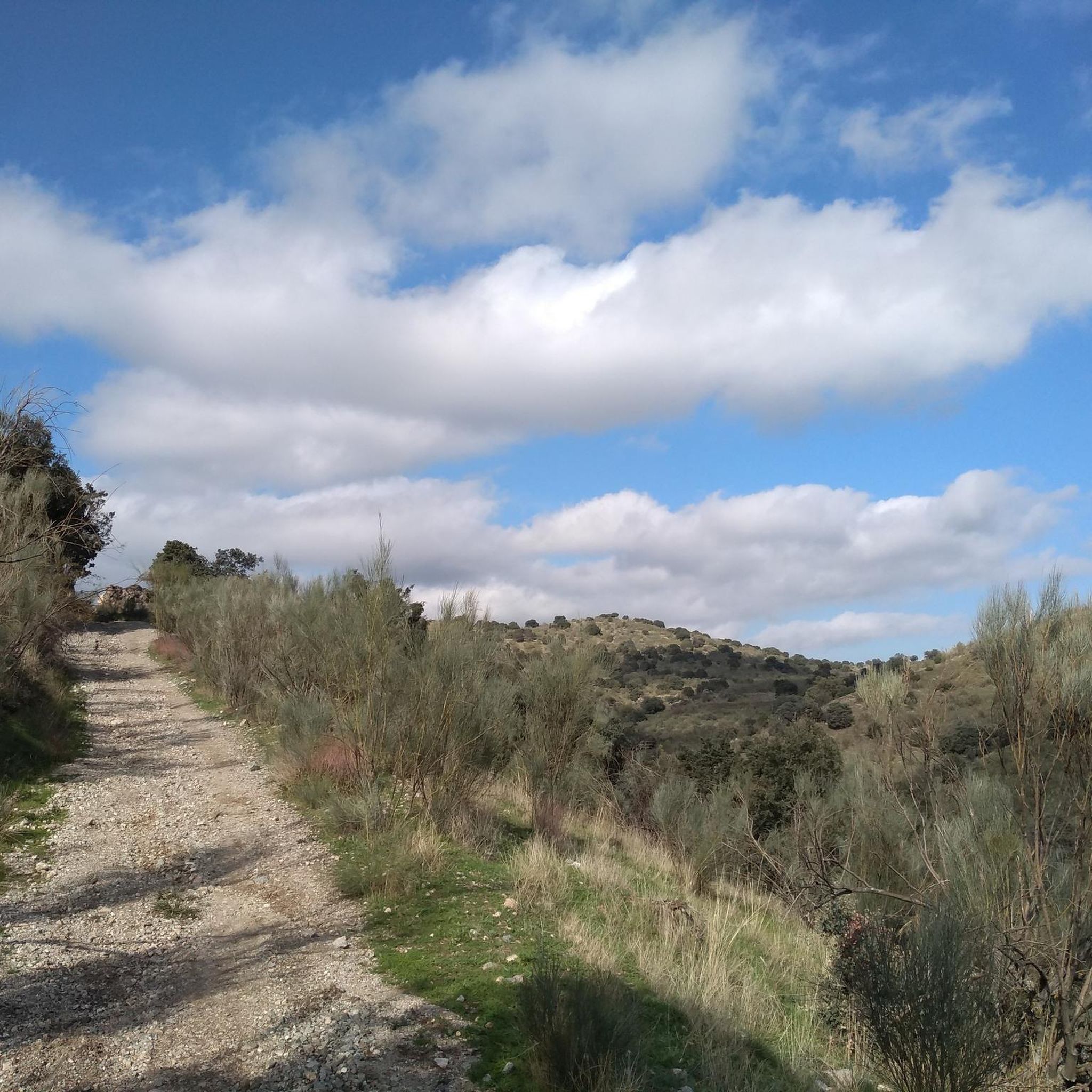
Tips from the Community

Stone bridge to cross the Aulencia River.
0
0

Am I also in I Het Loo k
0
0
Valmayor Reservoir overflowing due to recent rains in April 2025
0
0
Crossroads to reach Villanueva del Pardillo or Colmenarejo, with beautiful views.
1
0

With all this water I didn't know if I would get through.
0
0
If you don't want to cross the narrow bridge you will have to cross the Aulencia River, which at this point is almost always full of water and will get your feet wet.
0
0

great views of the reservoir
0
0
This hermitage, also called Hermitage of Colmenarejo due to its proximity to said town, is located near the Valmayor reservoir in a place where there is an area of tables to hold a picnic or attend the Pilgrimage of the Virgen de la Soledad.
0
0
Frequently Asked Questions
How many hiking trails are available in Colmenarejo?
There are 19 hiking routes around Colmenarejo, offering a variety of experiences. These include 8 easy, 9 moderate, and 2 difficult trails, catering to different skill levels.
What kind of landscapes can I expect to see while hiking in Colmenarejo?
Colmenarejo offers a diverse range of ecosystems, including oak groves, expansive meadows and dehesas, juniper thickets, ash forests, and lush riverside woodlands. A significant portion of the area is within the protected Regional Park of the Middle Course of the Guadarrama River, providing varied scenery and natural beauty.
Are there any family-friendly hiking options in Colmenarejo?
Yes, Colmenarejo has 8 easy routes that are suitable for families. These trails often feature gentle terrain and shorter distances, making them enjoyable for all ages. For example, the area around the Valmayor Reservoir offers accessible paths.
Are there any circular hiking routes in Colmenarejo?
Many routes in Colmenarejo are circular, allowing you to start and end at the same point. Examples include the popular Mirador de Peñarrubia y pantano de Valmayor — circular desde Colmenarejo, which offers scenic views of the reservoir, and the more challenging The Aulencia River Canyon — circular from Colmenarejo.
What interesting landmarks or viewpoints can I find along the trails?
Hikers can discover several notable attractions. The Valmayor Reservoir is a prominent feature, offering scenic walks. You might also encounter historical sites like the Seat of Philip II, a granite viewpoint with panoramic vistas, or the ruins of Aulencia Castle. For impressive views, consider routes leading to Mount Abantos.
What do other hikers enjoy most about Colmenarejo?
The area is highly rated by the komoot community, with an average score of 4.6 stars from over 600 reviews. Hikers often praise the diverse ecosystems, the tranquility of the Guadarrama River, and the varied terrain that offers options for different ability levels.
Are there any trails that offer views of the Valmayor Reservoir?
Yes, several trails provide excellent views of the Valmayor Reservoir. A popular choice is the Mirador de Peñarrubia y pantano de Valmayor — circular desde Colmenarejo, which directly features the reservoir. Another option is the Valmayor Reservoir loop from Galapagar.
What is the terrain like on the hiking trails in Colmenarejo?
The terrain in Colmenarejo is quite varied, reflecting its diverse ecosystems. You can expect to hike through oak groves, open meadows, and along riverbanks. The broader Sierra de Guadarrama region, which includes parts of Colmenarejo, features imposing peaks and massive granite formations, offering a mix of gentle paths and more challenging ascents.
Can I reach hiking trails in Colmenarejo using public transport?
Colmenarejo is accessible by public transport from Madrid, making it possible to reach the starting points of various hikes without a car. Check local bus schedules for routes connecting to Colmenarejo.
Are there any challenging hikes for experienced hikers?
Yes, for experienced hikers seeking a challenge, Colmenarejo offers difficult routes. A notable example is The Aulencia River Canyon — circular from Colmenarejo, an 18.6 km path that explores the natural features of the canyon and presents a significant elevation gain.
What kind of wildlife might I encounter while hiking?
The region is rich in biodiversity. Hikers might spot various bird species, including raptors like the eagle owl, booted eagle, and kites. Mammals such as wild boar, fox, and rabbit also inhabit the area, alongside a variety of amphibians, especially near water sources.
Are there any historical routes or ancient pathways to explore?
Yes, many trails in Colmenarejo follow an ancient network of traditional livestock routes, known as vías pecuarias, including cañadas, cordeles, and veredas. These well-preserved historical pathways offer a unique way to experience the landscape and its heritage.
Most popular routes around Colmenarejo
Most popular attractions around Colmenarejo

Get inspired with the komoot mobile app


Explore more
Browse the best Hikes in other regions.
