The best cycling routes around Santa Olalla Del Cala
4.8
(18)
317
riders
37
rides
Touring cycling routes around Santa Olalla Del Cala traverse the southern slopes of the Sierra Morena mountains, situated within the Sierra de Aracena y Picos de Aroche Natural Park. The region features diverse landscapes, including pastures, small hills, and extensive woodlands of holm oaks and cork oaks. Cyclists can expect varied terrain, from moderate paths on the Vía de la Plata to more challenging routes with significant elevation gains, often mixing paved and unpaved surfaces.
Best touring cycling routes around Santa Olalla Del Cala
- The most popular touring cycling route is Vía de la Plata - Castles of Santa Olalla and El Real de la Jara Loop, a 22.7 miles (36.6 km) trail that takes 2 hours 15 minutes to complete. This route explores the historic Vía de la Plata and passes by the castles of Santa Olalla and El Real de la Jara.
- Another top favourite among local touring cyclists is Teuler Mines Trail, a difficult 24.1 miles (38.8 km) path. This trail leads through historic mining landscapes, offering insights into the region's industrial past.
- Local touring cyclists also love the El Real de la Jara and Almadén de la Plata Loop, a 23.3 miles (37.6 km) trail leading through the natural park and connecting nearby towns, often completed in about 2 hours 56 minutes.
- Touring cycling around Santa Olalla Del Cala is defined by the Sierra de Aracena Natural Park, the Dehesa Landscape, and historic mining areas. The network offers options for various ability levels, from moderate loops to difficult routes with substantial climbs.
- The routes in Santa Olalla Del Cala are highly rated by the komoot community with an average score of 4.8 stars from over 10 reviews. More than 300 touring cyclists have used komoot to explore Santa Olalla Del Cala's varied terrain.
Last updated: November 7, 2026
5.0
(2)
2
riders
36.6km
02:15
340m
340m
Moderate bike ride. Good fitness required. Mostly paved surfaces.
5.0
(1)
4
riders
38.8km
03:16
560m
560m
Hard bike ride. Very good fitness required. Mostly paved surfaces.

2
riders
37.6km
02:57
580m
580m
Hard bike ride. Very good fitness required. Mostly paved surfaces.
48.4km
04:18
970m
970m
Hard bike ride. Very good fitness required. Some segments of this route may be unpaved and difficult to ride.
5.0
(1)
25
riders
Hard bike ride. Very good fitness required. Mostly paved surfaces.
Get access to more routes and recommendations from other explorers.
Already have an account?
Our route recommendations are based on thousands of hikes, rides, and runs completed by other people on komoot.
Start today with a free account
Your next adventure awaits.
Popular around Santa Olalla Del Cala
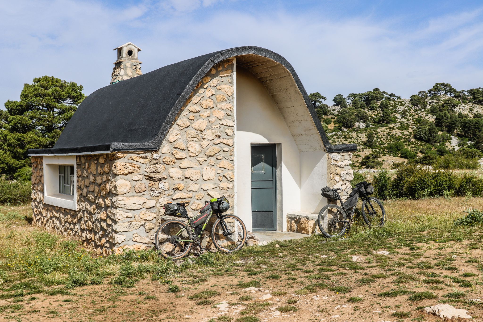
Wild and free Andalusia – Transandalus through the interior
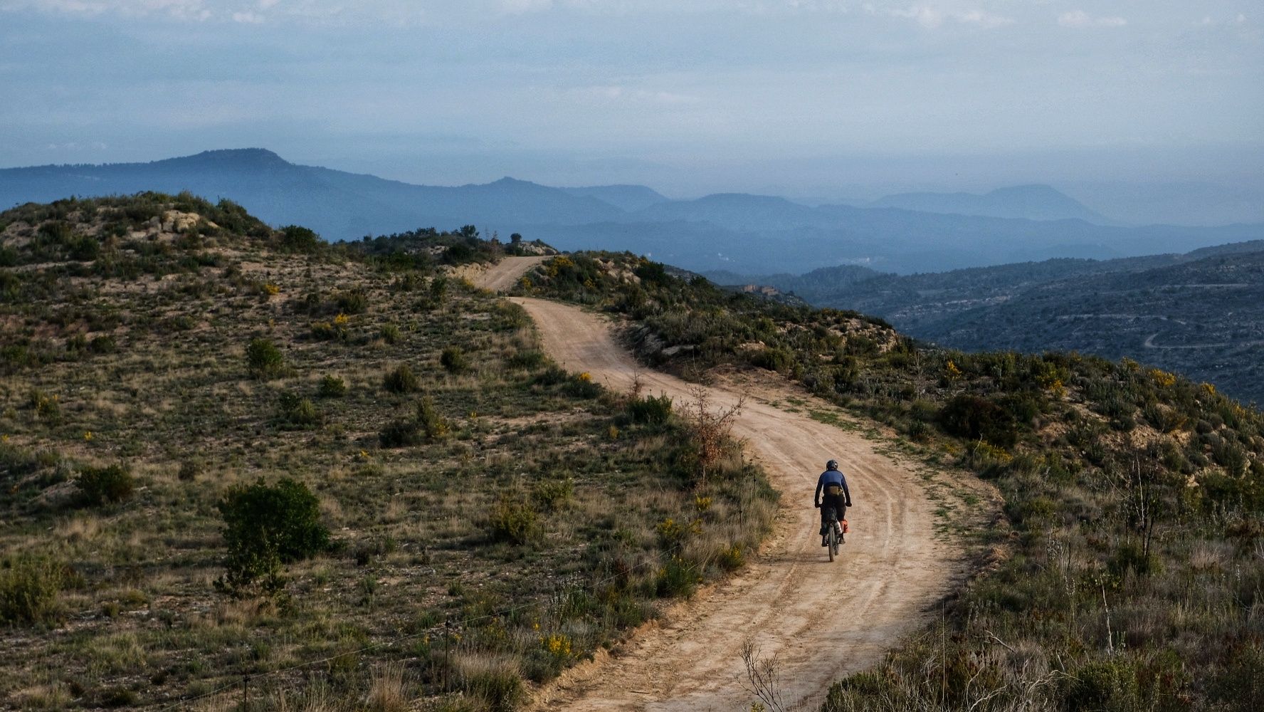
European Divide Trail — 7,600 km across the continent
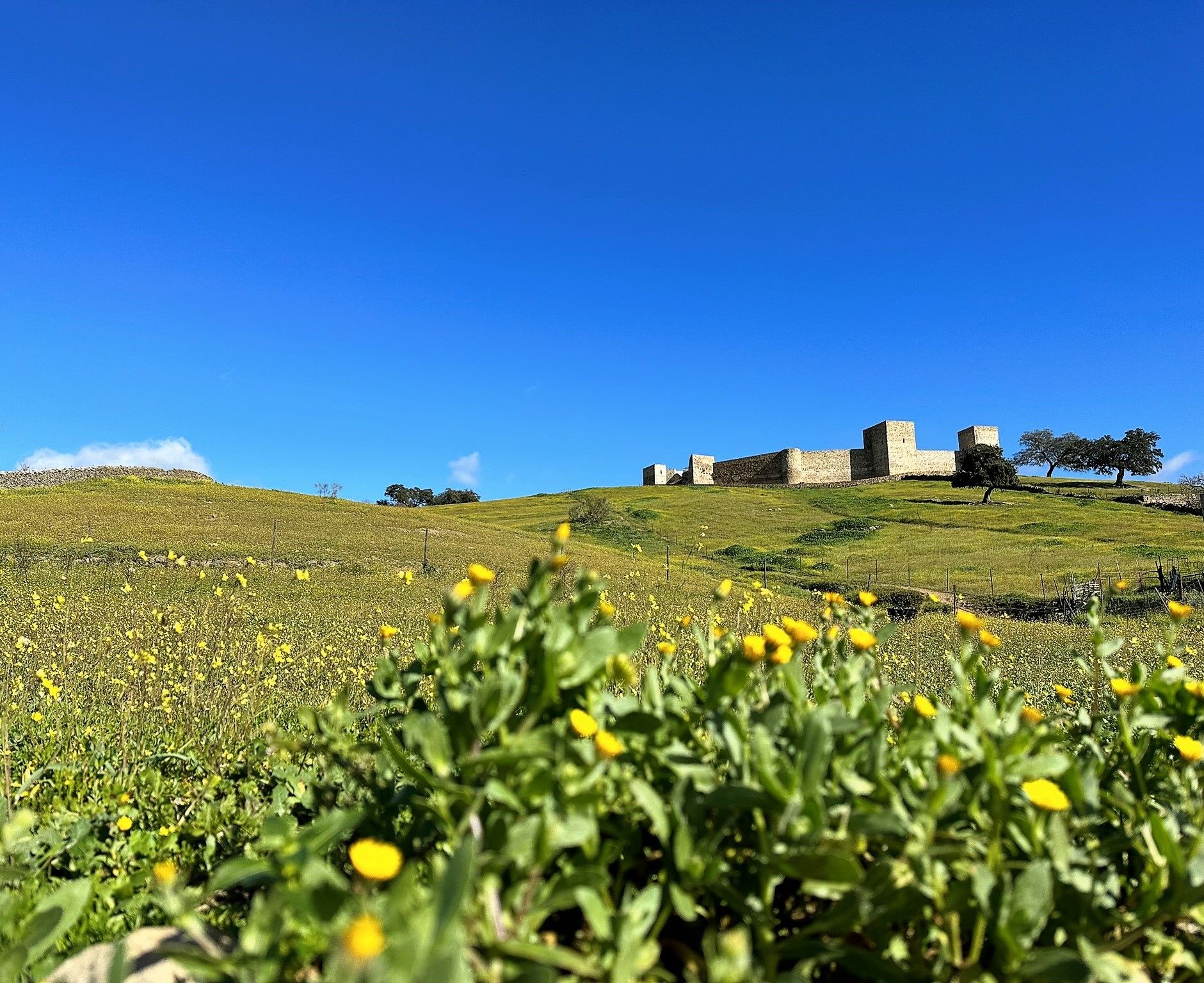
Dehesas and castles of Sierra Morena – Huelva and Seville on foot (GR 48)

Road Cycling Routes around Santa Olalla Del Cala

MTB Trails around Santa Olalla Del Cala

Hiking around Santa Olalla Del Cala

Running Trails around Santa Olalla Del Cala
Other adventures around Santa Olalla Del Cala


Tips from the Community

The Mirador del Cerro del Calvario Sur is a viewpoint located at an altitude of approximately 640-645 meters just south of the town of Almadén de la Plata, within the Sierra Morena Natural Park of Seville. It is a highly appreciated stop both by pilgrims traveling the Vía de la Plata (it is located along the section connecting Castilblanco de los Arroyos to Almadén de la Plata) and by local hikers. The climb leading up to this place is truly tough, and when you reach the top, you understand why it is called Calvario.
0
0

Section of the Camino de Santiago towards Monesterio.
0
1

Pilgrims' Hostel, El Real
0
0

The castle has a trapezoidal shape and has two gates and eight towers, three of which are semicircular. The main gate is located in the keep, to the south of the enclosure, while the secondary gate is on the opposite side. Both gates have been rebuilt with granite ashlar.
6
0
El Mirador Cerro del Calvario is a beautiful viewpoint located in the Sierra Norte de Sevilla Natural Park, near Almadén de la Plata. This viewpoint offers spectacular views of the region and is a popular spot for hiking. The route to the viewpoint is moderate and accessible for most fitness levels. Additionally, near the viewpoint is the Cascada El Chorro, another natural attraction worth visiting.
6
1
The Real de la Jara Castle is located in the town of El Real de la Jara, in the province of Seville. This medieval castle occupies a strategic position atop a hill north of the town, making it an important defensive center during the Middle Ages.
6
0
El Real de la Jara Castle is a medieval fortress located in the municipality of El Real de la Jara, in the Sierra Norte de Sevilla. This castle has a rich history and offers a fascinating experience. You can join a guided tour to learn about the history of the castle, its architecture and its importance in the region.
5
0
The Castillo de Santa Olalla del Cala is an impressive fortress located in the town of Santa Olalla del Cala, in the province of Huelva, Andalusia. This castle, of Muslim origin, was built in the 13th century and later renovated by the Christians after the Reconquista. The castle is located in a strategic position, on top of a hill, which allowed it to control the passage between Seville and the Sierra de Aracena. Its structure includes robust walls, defensive towers, and a parade ground. The keep is one of the most prominent elements of the castle, offering panoramic views of the surroundings. Today, the Castillo de Santa Olalla del Cala is an important tourist attraction and a symbol of the region's historical heritage. Guided tours are available, allowing visitors to explore its corners and learn more about its history and architecture.
5
1
Frequently Asked Questions
How many touring cycling routes are available around Santa Olalla Del Cala?
There are over 30 touring cycling routes around Santa Olalla Del Cala. These routes cater to various skill levels, with options ranging from moderate loops to more challenging rides with significant elevation gains.
What kind of terrain can I expect on touring cycling routes in this region?
The terrain around Santa Olalla Del Cala is quite varied. You'll encounter a mix of paved and unpaved surfaces, traversing the diverse landscapes of the Sierra de Aracena y Picos de Aroche Natural Park. Expect pastures, small hills, and extensive woodlands of holm oaks and cork oaks, with some routes exploring historic mining areas or following ancient paths like the Vía de la Plata.
Are there any easy touring cycling routes for beginners or those seeking a relaxed ride?
While many routes in the area are considered difficult, there are options for less experienced cyclists. For example, the Vía de la Plata - Castles of Santa Olalla and El Real de la Jara Loop is rated as moderate, offering a good balance of scenic beauty and manageable challenge.
What are some notable landmarks or natural features to see along the cycling routes?
Cyclists can explore a rich blend of natural and historical attractions. You might pass by the historic Cala Castle, or enjoy panoramic views from the Cerro del Calvario Viewpoint. The region also features the picturesque Rivera de Cala and the unique Dehesa Landscape, an agro-forestry system with ancient holm oaks.
Are there any routes that explore the region's mining history?
Yes, the region has a rich mining past. The Teuler Mines Trail is a challenging route that specifically leads through historic mining landscapes, offering a glimpse into the area's industrial heritage.
What do other touring cyclists enjoy most about cycling in Santa Olalla Del Cala?
The area is highly rated by the komoot community, with an average score of 4.8 stars from over 10 reviews. Reviewers often praise the diverse landscapes, the blend of natural beauty with cultural exploration, and the opportunity to traverse the unique Dehesa Landscape.
Are there any circular touring cycling routes available?
Yes, many of the touring cycling routes around Santa Olalla Del Cala are designed as loops. Examples include the El Real de la Jara and Almadén de la Plata Loop, which connects nearby towns, and the Almadén de la Plata and Melonares Reservoir Loop.
Can I find routes that pass by castles or historic sites?
Absolutely. The region is dotted with historical sites. The Vía de la Plata - Castles of Santa Olalla and El Real de la Jara Loop, for instance, passes by the historic castles of Santa Olalla and El Real de la Jara. You can also find routes near the Castle of the Towers.
What is the best time of year for touring cycling in Santa Olalla Del Cala?
Given its location in Andalusia, spring and autumn generally offer the most pleasant weather for touring cycling, with milder temperatures and lush landscapes. Summers can be very hot, while winters are typically mild but can have more rainfall.
Are there any routes that offer views of reservoirs or significant water features?
Yes, some routes incorporate views of the region's water bodies. The Almadén de la Plata and Melonares Reservoir Loop is a challenging route that includes the Melonares Reservoir, offering scenic waterside cycling.
What is the average duration for a touring cycling route in this area?
The duration of routes varies significantly based on distance and difficulty. For example, a moderate route like the Vía de la Plata - Castles of Santa Olalla and El Real de la Jara Loop typically takes around 2 hours 15 minutes, while more difficult and longer routes can take 4 hours or more, such as the Dehesa Landscape – Castle of the Towers loop from Santa Olalla del Cala.
Are there any specific natural monuments or unique trees to look out for?
Yes, the region is home to the Monumento Natural Encina de la Dehesa de San Francisco, which features an ancient and expansive holm oak estimated to be between 400 and 500 years old. While not directly on a listed route, it's a significant natural landmark in the area's characteristic Dehesa landscape.
Most popular routes around Santa Olalla Del Cala
Most popular attractions around Santa Olalla Del Cala

Get inspired with the komoot mobile app


Explore more
Browse the best Cycling routes in other regions.
