The best running trails around Almonacid De La Sierra
275
runners
46
runs
Jogging routes around Almonacid De La Sierra traverse a landscape characterized by the Sierra de Algairén mountain range, featuring numerous hills and peaks. The terrain often includes significant elevation changes, with routes leading through mountain passes and towards summits. This region offers a challenging environment for runners seeking varied and demanding trails.
Best jogging routes around Almonacid De La Sierra
- The most popular jogging route is Collado de la Hermana y Cerro del Espino desde el Raso de la Cruz…
Last updated: October 5, 2026
17
runners
Hard run. Very good fitness required. Mostly paved surfaces. Suitable for all skill levels.
27
runners
25.0km
03:15
660m
660m
Hard run. Very good fitness required. Mostly paved surfaces. Suitable for all skill levels.

15
runners
Hard run. Very good fitness required. Mostly paved surfaces. Suitable for all skill levels.
11
runners
Hard run. Very good fitness required. Mostly paved surfaces. Suitable for all skill levels.
10
runners
Hard run. Very good fitness required. Mostly paved surfaces. Suitable for all skill levels.
Get access to more routes and recommendations from other explorers.
Already have an account?
Our route recommendations are based on thousands of hikes, rides, and runs completed by other people on komoot.
Start today with a free account
Your next adventure awaits.
Tips from the Community

Crossroads between the Valdemadera peak, the Tiermas valley and Cerro del Espino
0
0

Beautiful hill located in the middle of a long trail.
0
0
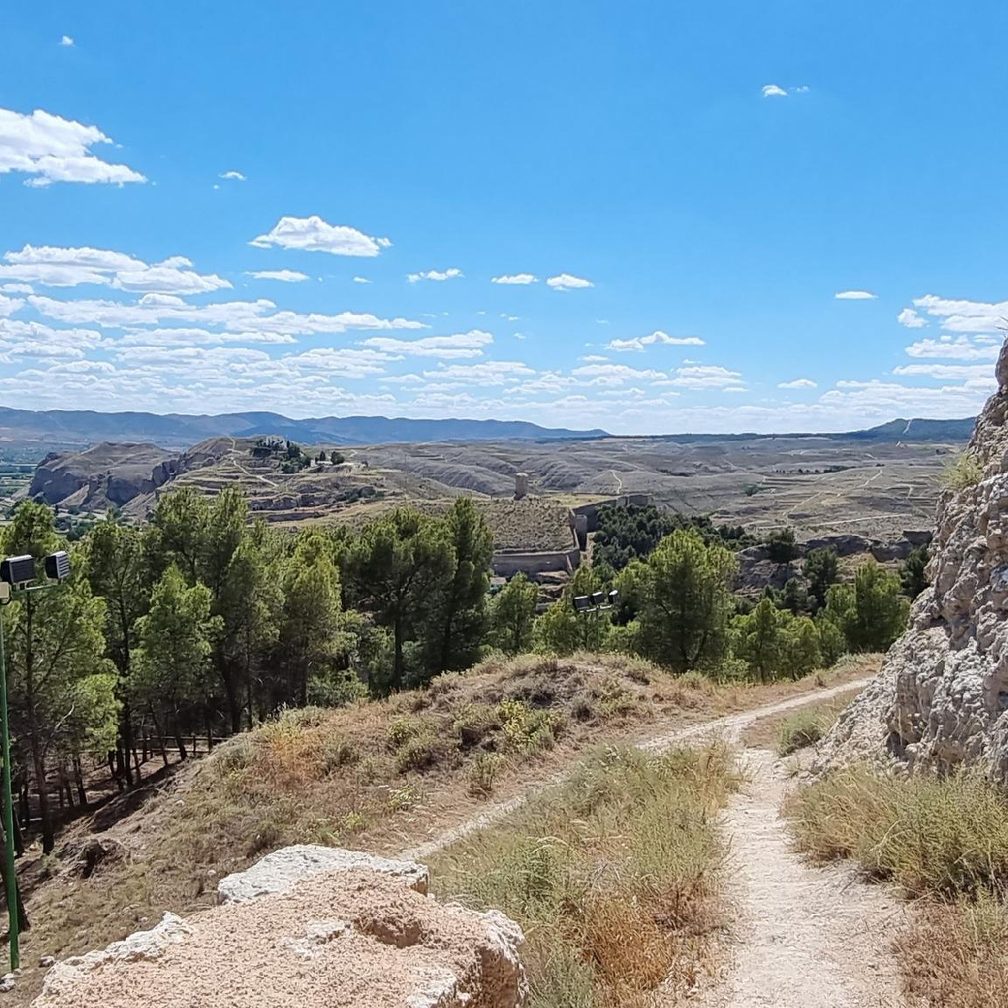
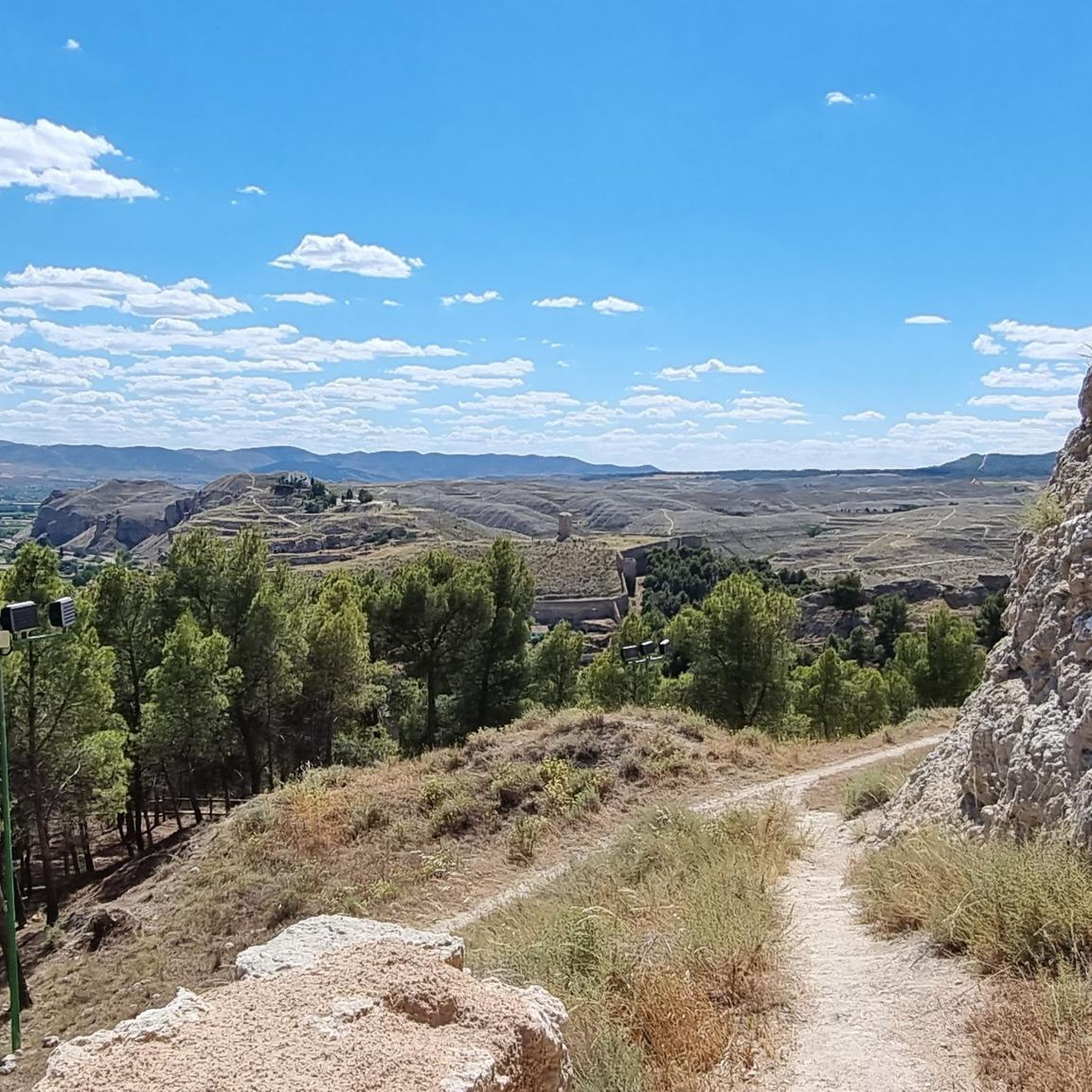
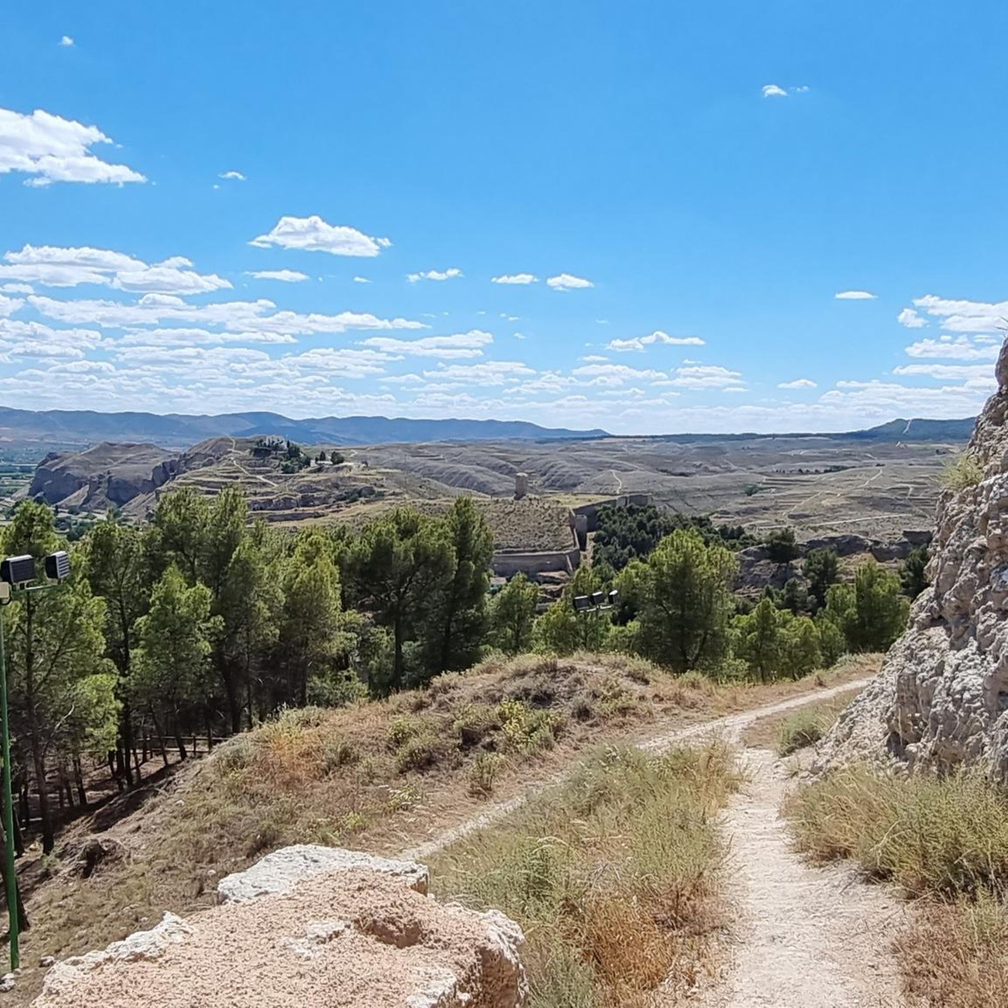
A mountain pass with beautiful views of the Aljairén mountain range. It can be accessed via a well-maintained forest trail that ends at the pass, and then there are several trails to continue. The pass can also be accessed via a very long trail.
0
0

Located at an altitude of 1,058 meters and in the beautiful Sierra de Algairén, we find the Collado de la Luz or also called El Cuervo with panoramic views of the mountains that will not leave us indifferent. Near the pass is the Cerro del Espino
2
0
We find beautiful views from the Tío Franisco pass, a connection point between the Cosuenda area and the Tiernas de Alpartir ravine
1
0
Cerro del Espino is located in the center of the Sierra de Algairén, between Almonacid de la Sierra and Cosuenda, which is 50 kilometers from Zaragoza. At the top of this mountain, we will find a metal cross that is usually adorned with handkerchiefs and the typical cachirulo of the Aragonese lands.
1
0
Located 1038 meters above sea level and on the path of La Lechera, we find this beautiful picture in the Collado de la Hermana with views of the top of Monte del Cortado
1
0
We find ourselves going up the ravine of the hortales, by the path known as the one of the Tía. It will guide us until we reach the North range of the Sierra de Algairén. Nice path with awesome views when you reach the top.
1
0
Frequently Asked Questions
How many running routes are available in Almonacid De La Sierra?
There are over 40 diverse running routes around Almonacid De La Sierra, catering to various fitness levels. The majority are challenging, but there are also options for moderate and easy runs.
What kind of terrain can I expect on the running trails around Almonacid De La Sierra?
The running trails in Almonacid De La Sierra primarily traverse the Sierra de Algairén mountain range. You can expect a landscape with numerous hills, peaks, and significant elevation changes, offering a demanding environment for runners. Many routes lead through mountain passes and towards summits.
Are there any easy running routes for beginners in Almonacid De La Sierra?
While many routes in Almonacid De La Sierra are categorized as difficult, there are a few easier options available. For instance, komoot lists 2 routes specifically rated as easy, providing a gentler introduction to running in the region.
What interesting sights or landmarks can I see while jogging around Almonacid De La Sierra?
Many running routes offer scenic views and pass by notable landmarks. You might encounter the Sanctuary of the Virgin of the Lagoons, experience the heights of Collado de la Luz, or see the historic Longares Mudejar Tower. The Ridge of the Sierra de Algairén also offers expansive vistas.
Are there any circular running routes in Almonacid De La Sierra?
Yes, several running routes in the area are circular, allowing you to start and finish at the same point. An example is the challenging Valdemadera – "La Peña Val de Tobarcé" loop from Parque del Raso de la Cruz, which covers nearly 20 km with significant elevation gain.
What do other runners say about the trails in Almonacid De La Sierra?
Over 240 runners have used komoot to explore Almonacid De La Sierra's varied terrain. They often praise the challenging ascents, the rewarding scenic viewpoints, and the opportunity to experience the rugged beauty of the Sierra de Algairén.
Are the running trails in Almonacid De La Sierra suitable for families?
Given the prevalence of difficult routes with significant elevation changes, many trails are more suited for experienced runners. However, families looking for a run might consider the 2 easy routes available, which offer a less strenuous experience. Always check the route difficulty before heading out.
Can I bring my dog on the running trails in Almonacid De La Sierra?
Many natural trails in the Sierra de Algairén are generally dog-friendly, but it's always advisable to keep your dog on a leash, especially in areas with livestock or protected wildlife. Ensure your dog is fit enough for the challenging terrain and carry enough water for both of you.
What is a good challenging long-distance running route in the region?
For a challenging long-distance run, consider the Peña La Butrera – Mirador del Sur loop from Alpartir. This difficult route spans almost 15 km with considerable elevation, offering a demanding workout and rewarding views.
Is public transport available to access running routes in Almonacid De La Sierra?
Access to specific trailheads directly by public transport can be limited in this mountainous region. It's often more convenient to drive to a starting point, especially for routes that begin outside the main villages. Check local bus schedules for connections to Almonacid De La Sierra itself, and plan your route accordingly.
Are there opportunities for wildlife spotting while running in Almonacid De La Sierra?
The natural environment of the Sierra de Algairén offers opportunities for wildlife spotting. Keep an eye out for local bird species and other small animals that inhabit the hills and forests. Early mornings or late afternoons are often the best times for observing wildlife.
Most popular routes around Almonacid De La Sierra
Most popular attractions around Almonacid De La Sierra

Get inspired with the komoot mobile app


Explore more
Browse the best Running Trails & Routes in other regions.
