The best walks and hikes around Quijorna
4.4
(198)
1,129
hikers
106
hikes
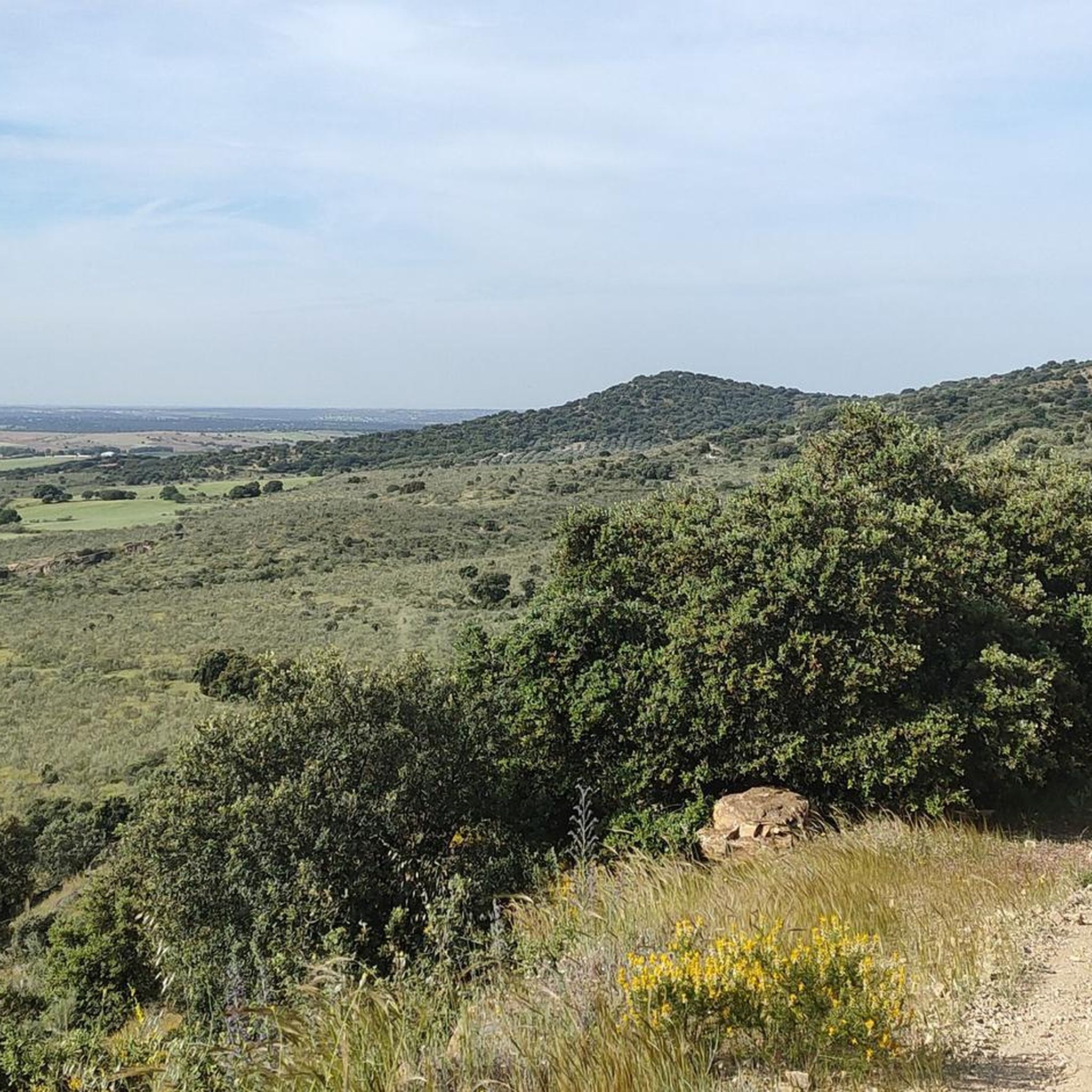
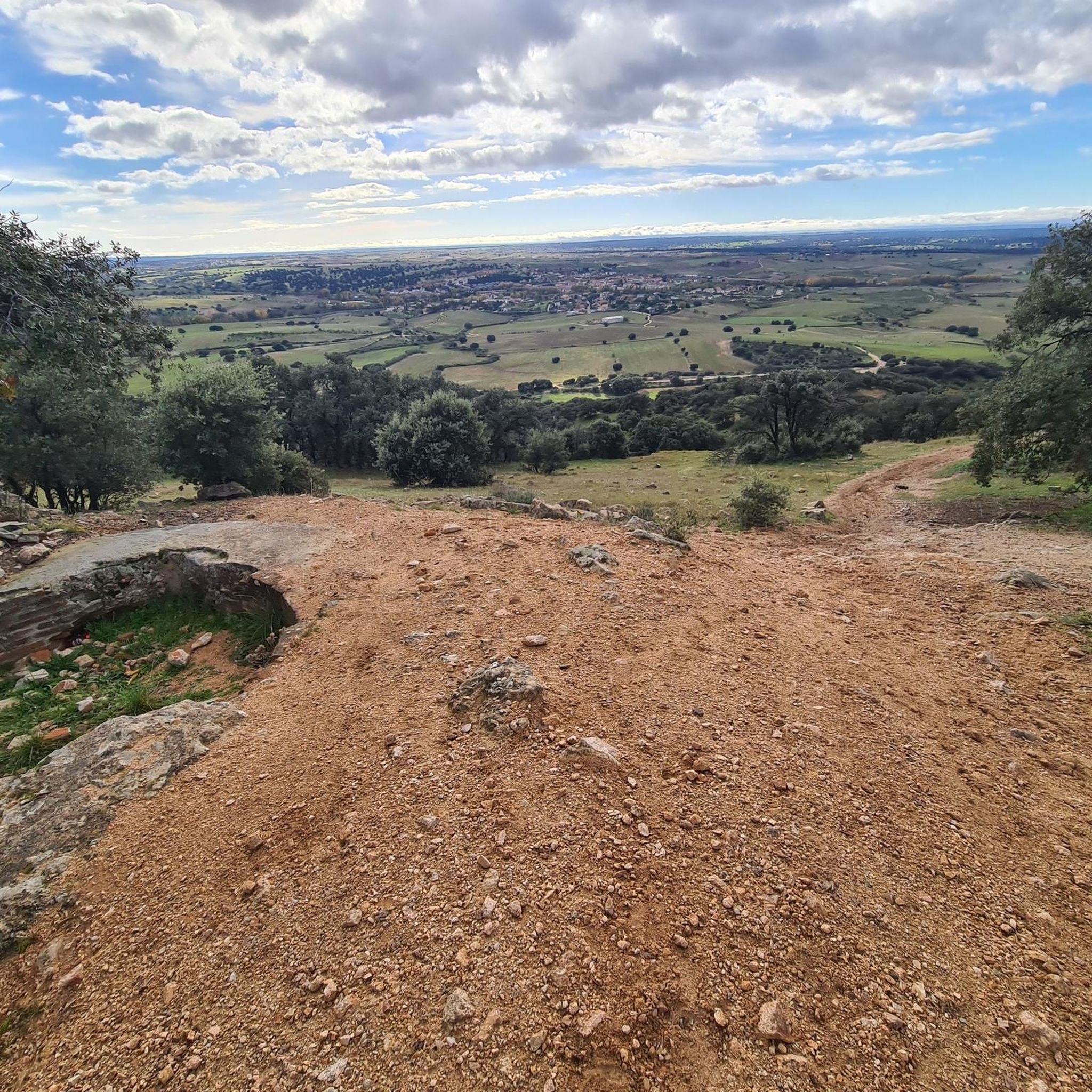
Hiking around Quijorna offers access to a natural and rural environment approximately 39 kilometers from Madrid. The region is characterized by diverse countryside landscapes, including areas like Dehesa Boyal and Mesa de los Llanos. Mediterranean forests, primarily holm oak, along with various scrublands and the presence of rivers and arroyos, define the terrain. While not in the high mountains, Quijorna benefits from its proximity to the Sierra de Guadarrama, providing varied hiking terrain.
Best hiking trails around Quijorna
- The most…
Last updated: November 8, 2026
4.8
(14)
73
hikers
Moderate hike. Good fitness required. Easily walkable paths.
4.4
(7)
19
hikers
6.53km
01:50
130m
130m
Moderate hike. Mostly walkable paths. Sure-footedness required.

4.8
(9)
49
hikers
10.7km
03:01
230m
230m
Moderate hike. Good fitness required. Easily walkable paths.
5.0
(9)
30
hikers
6km
01:32
20m
20m
Easy hike. Easily walkable paths.
5.0
(2)
12
hikers
9.80km
02:39
140m
140m
Moderate hike. Good fitness required. Easily walkable paths.
Get access to more routes and recommendations from other explorers.
Already have an account?
Our route recommendations are based on thousands of hikes, rides, and runs completed by other people on komoot.
Start today with a free account
Your next adventure awaits.

Tips from the Community


I provide a photo of this place, where you can see several bullet holes in one of the walls of one of the buildings. The holes are quite grouped and at the height of a normal-sized person's head. The impact wall is on the east side. This position was defended by a tabor of marksmen from Ifni and by a century of phalanx from Valladolid. Some historians say that the first shots of the Battle of Brunete probably took place in this place on July 5, 1937. This position fell on the 7th. The attackers of the Red Army came after climbing the valley located to the west, the Valdeyerno valley, and from the north along the livestock route that crosses this plateau, leading to Valdemorillo. The impacts that can be seen on the facades of the east side of both buildings, I believe, are not the product of combat, but rather of shootings on those walls, of captured national soldiers.
0
1

It was known as the Hermitage of Our Lady of the Conception, then of the Ascension and then of the Miraculous, before receiving its current name. After the Civil War it was rebuilt.
33
0

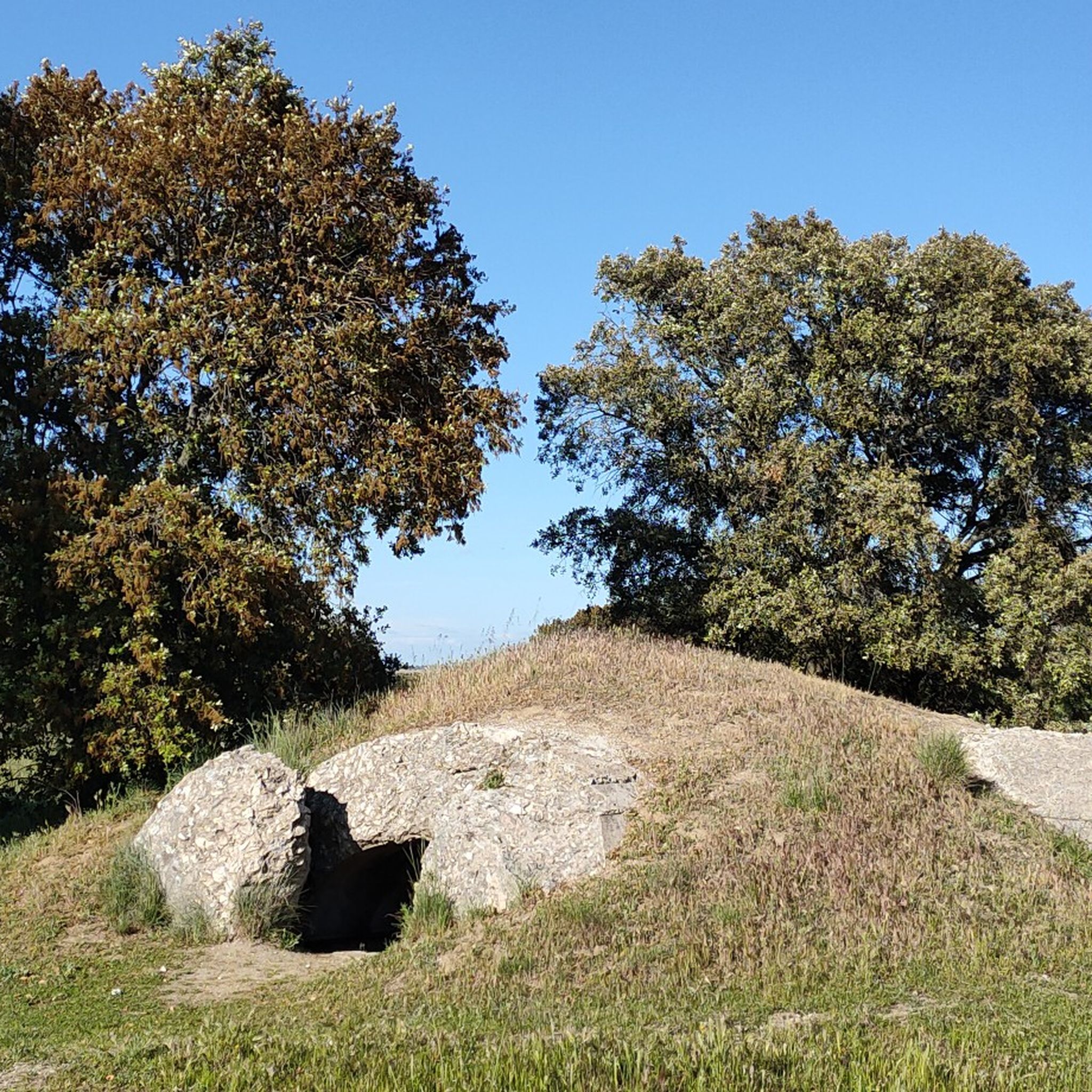
This is one of the many bunkers that were on the Brunete front, in very good condition. If you go around it, you will be able to see its access, which is located at the back.
1
0
This lime kiln will perhaps be the best preserved in the area. The cylindrical shape of the base draws a lot of attention, on which a conical shape rises with its gas outlet. Because of this shape they are known as bottle ovens. This refractory ceramic kiln uses kaolin to produce refractory bricks.
0
0
Next to Alto de los Llanos are these ruins which, it is said, were the headquarters of the Republican command. Very close we can also find the geodesic vertex of the place, which is located at 746 meters of altitude.
0
1
The function of this type of chimneys is to act as pressure relief valves in hydraulic systems. In this case, it is located in the canal that carries water from the Picadas reservoir to the station that treats drinking water in Majadahonda.
1
0
This cave-shelter served as anti-aircraft protection during the Spanish Civil War. It belonged to the Republican side, and its strategic location against the hill made bombing difficult. It was built with pick and shovel after the Battle of Brunete.
0
0
Frequently Asked Questions
How many hiking trails are available around Quijorna?
There are over 95 hiking routes in the Quijorna area, catering to various fitness levels. You'll find a good mix, with 35 easy trails, 56 moderate options, and 4 more challenging treks.
What kind of terrain can I expect on hikes in Quijorna?
Hiking around Quijorna offers a diverse natural environment. You'll encounter countryside landscapes, Mediterranean forests dominated by holm oaks, various scrublands like broom and rosemary, and scenic areas along rivers and arroyos. While not in the high mountains, its proximity to the Sierra de Guadarrama adds to the varied terrain.
Are there any family-friendly hiking options in Quijorna?
Yes, Quijorna offers several easy trails suitable for families. For instance, the Hiking loop from Villanueva de la Cañada is an easy 6 km path that takes about 1 hour 32 minutes, perfect for a leisurely family outing.
Can I find circular hiking routes in Quijorna?
Absolutely. Many trails in Quijorna are circular, allowing you to start and end at the same point. A popular choice is the For the remains of the Civil War and the lime kilns — circular from Quijorna, a moderate 13.6 km route that explores historical sites.
What historical sites can I explore while hiking in Quijorna?
Quijorna's trails often lead to remnants of the Spanish Civil War. You can discover well-preserved lime kilns and bunkers. The Hunting Area Warning Sign – Bunker Remains at Peñas Pardas loop from Quijorna is a moderate 10.3 km trail that takes you past Civil War bunkers.
Are there any scenic viewpoints or natural attractions along the trails?
Yes, the area boasts scenic beauty, particularly around its rivers and arroyos. The Cerro Alarcón Reservoir and Puente del Pasadero Loop offers beautiful reservoir views and features the historic Puente del Pasadero. You can also find the Aulencia River Dam and the Wooden Bridge over the Guadarrama River in Boadilla nearby.
What do other hikers enjoy most about hiking in Quijorna?
The komoot community highly rates the hiking experience in Quijorna, with an average score of 4.4 stars from over 170 reviews. Hikers often praise the region's natural and rural environment, the diverse landscapes, and the blend of historical interest with natural beauty.
Are there any specific landmarks or points of interest to look out for?
Beyond the natural beauty, you can explore several interesting landmarks. These include the historic Old Lime Kiln of Quijorna, the serene Hermitage of the Virgen del Soto, and the impressive Aulencia Castle.
What is the best season for hiking in Quijorna?
Quijorna offers good hiking opportunities throughout much of the year. Spring and autumn generally provide the most pleasant temperatures for exploring the Mediterranean forests and countryside. Summers can be hot, so early morning or late afternoon hikes are recommended, while winters are typically mild.
Are there any trails that explore the traditional Vías Pecuarias?
Yes, the municipality of Quijorna includes traditional livestock routes known as Vías Pecuarias, such as the Cañada Real Segoviana and the Vereda de los Montes. These ancient paths offer unique opportunities to explore the region's historical and natural landscapes.
Is there wildlife to observe while hiking in Quijorna?
The natural environment around Quijorna supports diverse wildlife. You might spot wild boars, rabbits, common hedgehogs, and various bird species like white storks, kestrels, and hoopoes. Approximately half of Quijorna's municipal area is designated as a Special Protection Area for Birds (ZEPA).
Most popular attractions around Quijorna

Get inspired with the komoot mobile app


Explore more
Browse the best Hikes in other regions.
