The best cycling routes around Plan
4.6
(56)
1,068
riders
63
rides
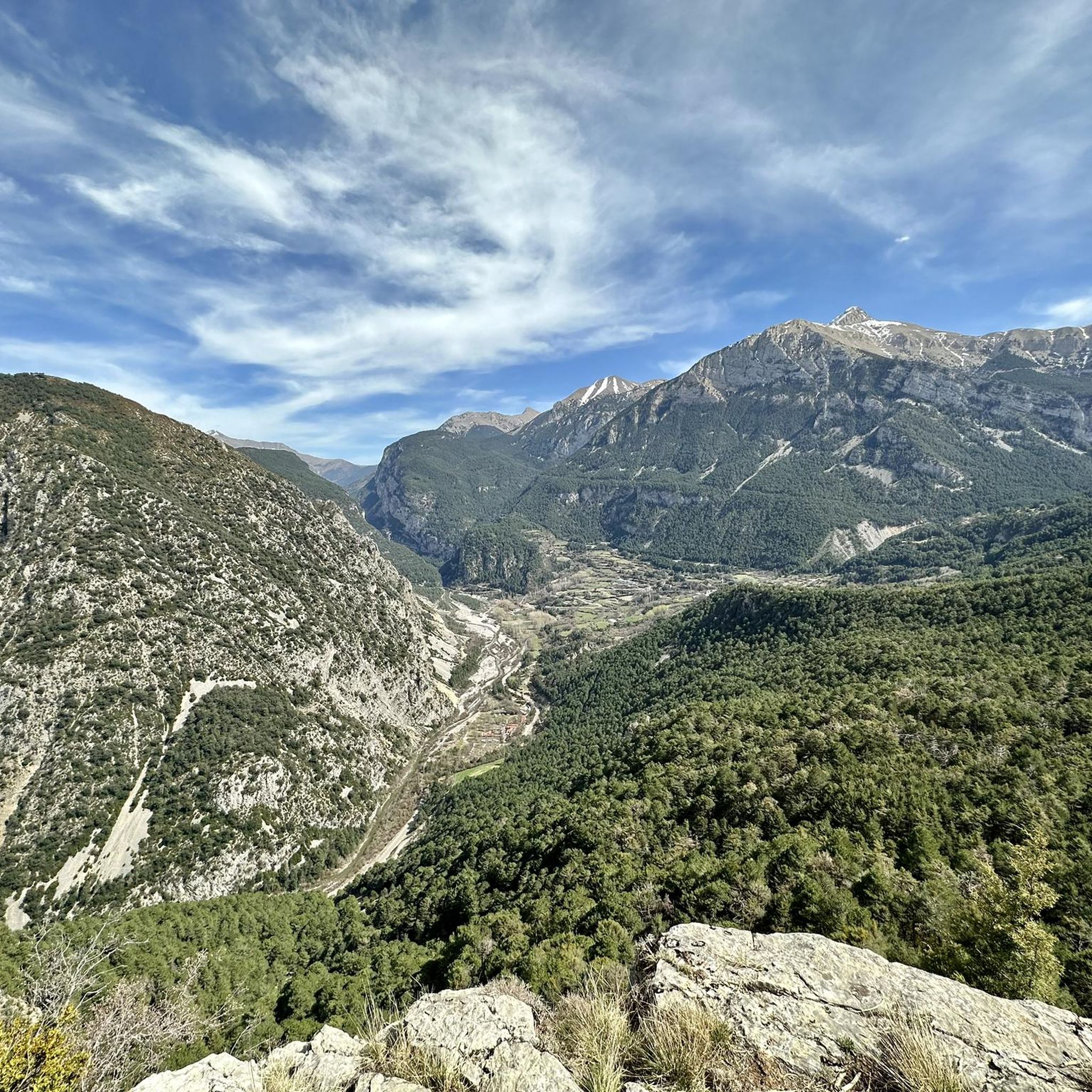
Touring cycling routes around Plan are situated in the Gistaín Valley within the Aragonese Pyrenees, characterized by a rugged mountain landscape. The region features prominent peaks, deep valleys carved by rivers like the Cinqueta, and high-altitude mountain lakes. This diverse terrain offers varied elevation profiles for touring cyclists.
Best touring cycling routes around Plan
- The most popular touring cycling route is Valle de Benasque — riding around the Sierra de Portiello, a 27.7 miles (44.6 km) trail that takes…
Last updated: October 24, 2026
22
riders
44.6km
04:06
1,480m
1,480m
Hard bike ride. Very good fitness required. Mostly paved surfaces.
2
riders
26.4km
02:32
940m
940m

5.0
(4)
31
riders
32.6km
02:19
600m
600m
Hard bike ride. Very good fitness required. Mostly paved surfaces.
27
riders
20.3km
02:21
830m
830m
Hard bike ride. Very good fitness required. Mostly paved surfaces.
21
riders
35.2km
03:33
1,100m
1,100m
Hard bike ride. Very good fitness required. You may need to push your bike for some segments of this route.
Get access to more routes and recommendations from other explorers.
Already have an account?
Our route recommendations are based on thousands of hikes, rides, and runs completed by other people on komoot.
Start today with a free account
Your next adventure awaits.
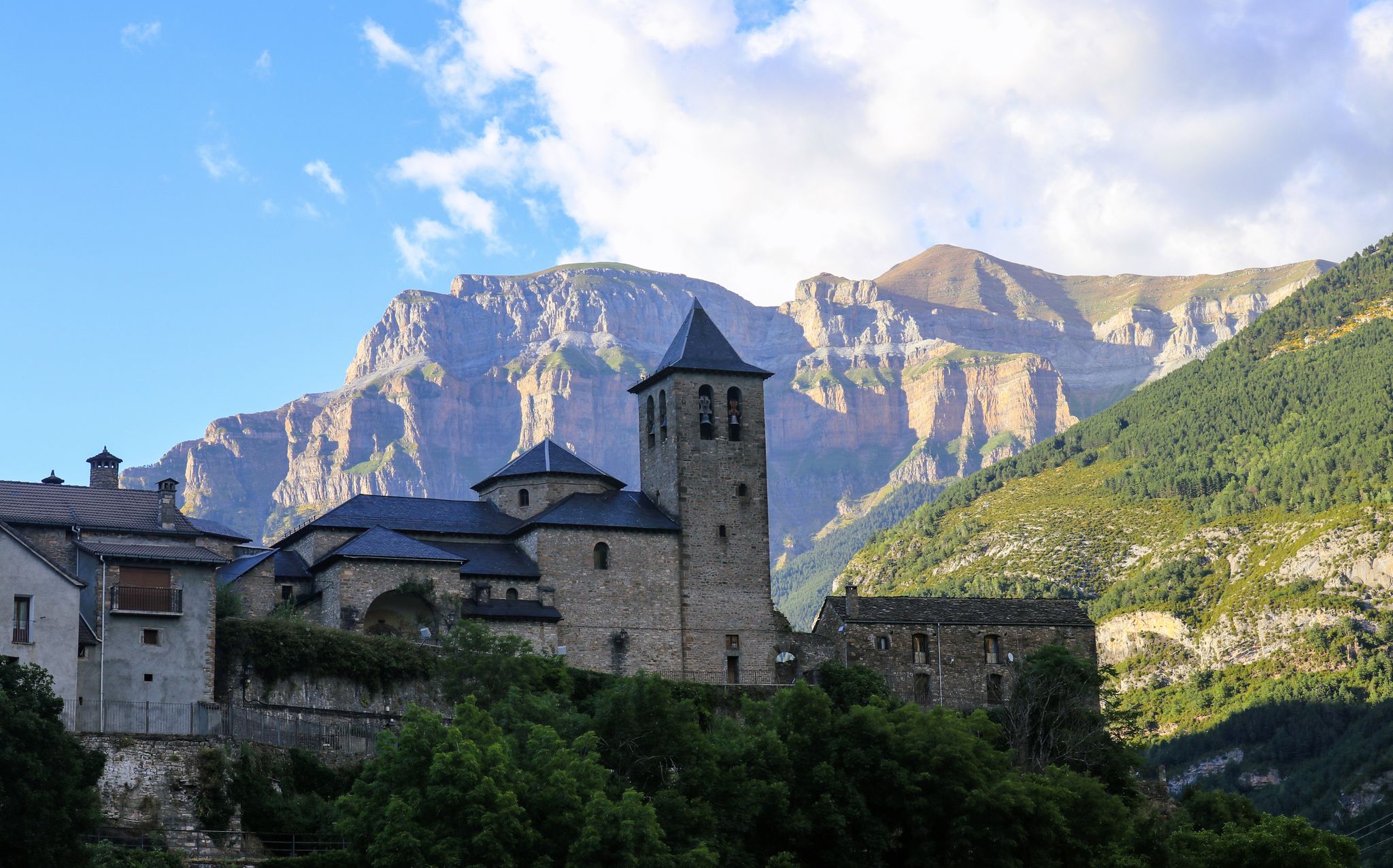
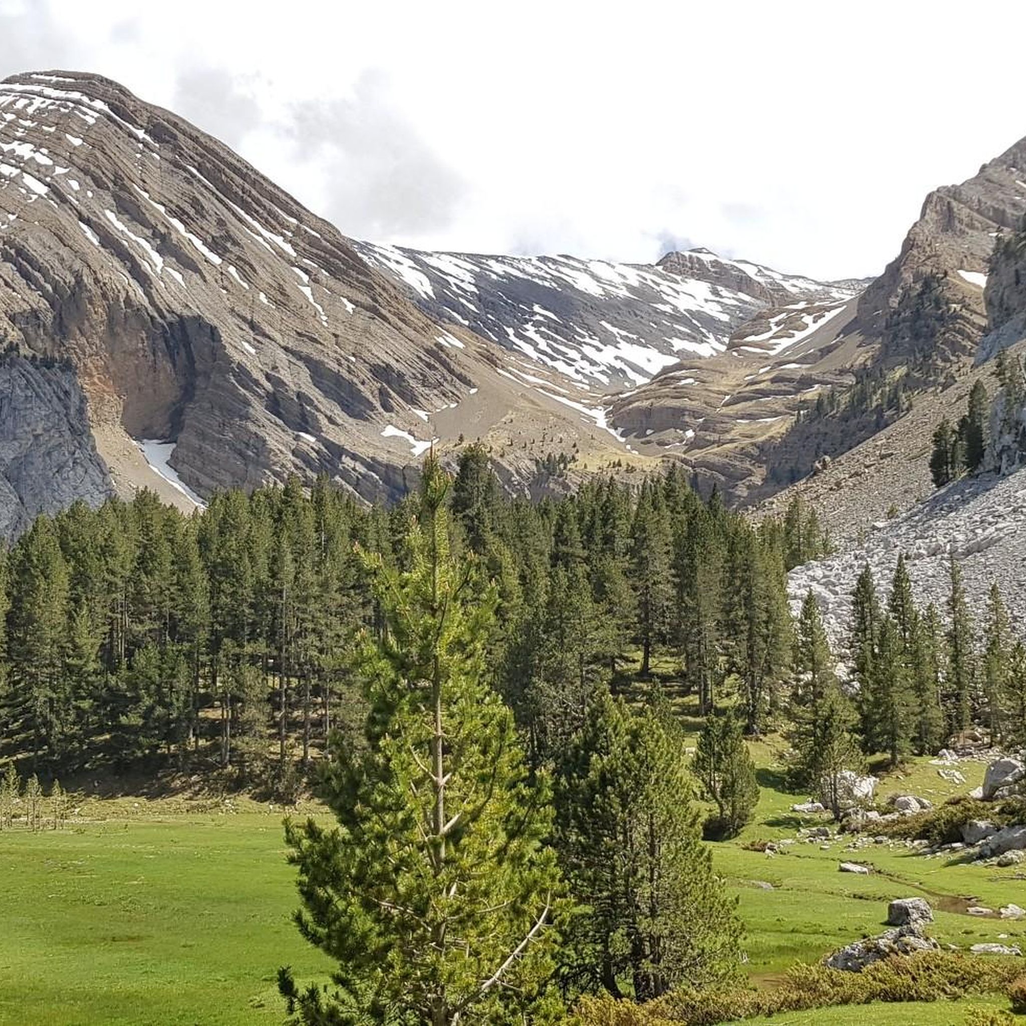
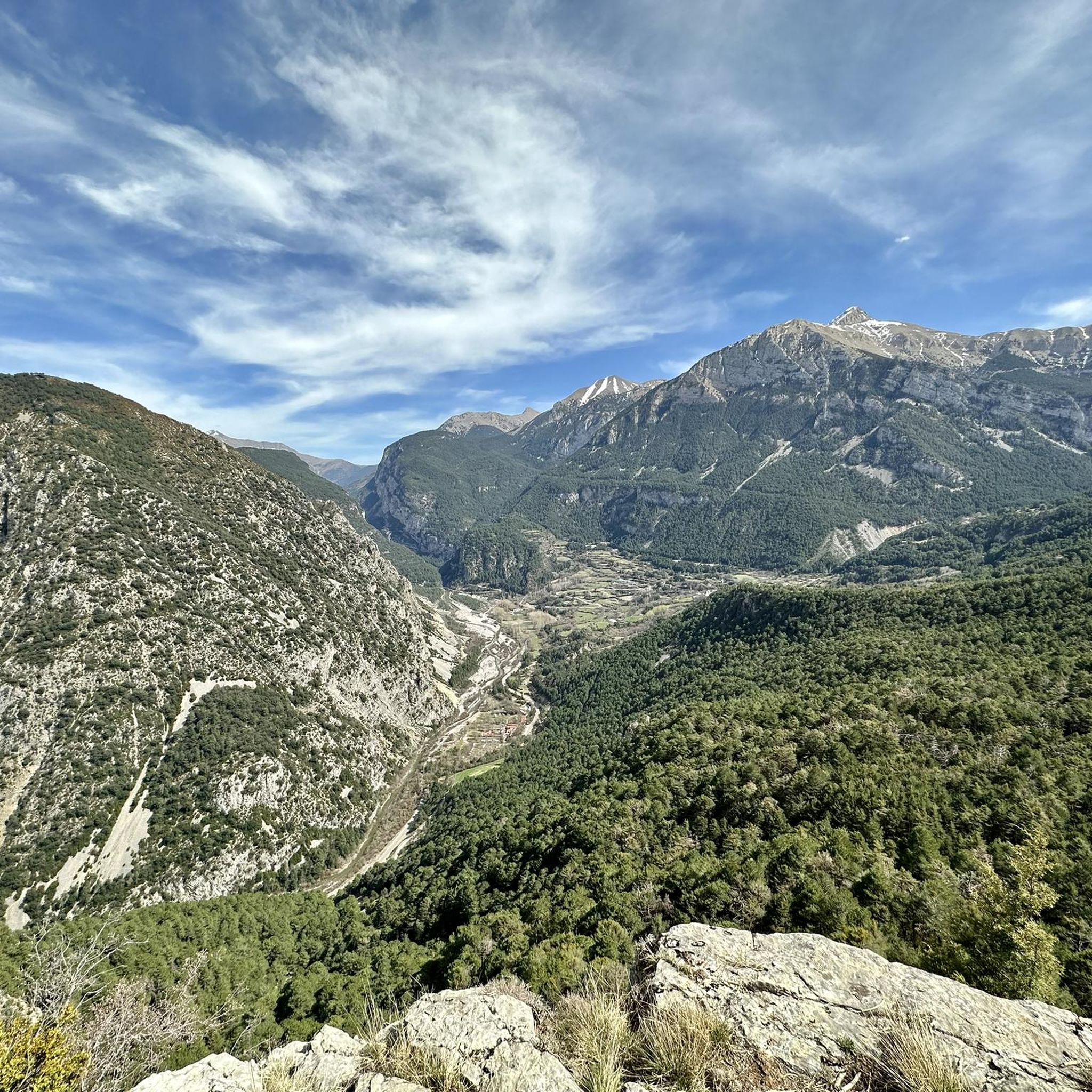


Other adventures around Plan

Tips from the Community


A fountain ⛲ and a shade to refresh yourself along the way.
0
0


From the campsite, first follow the Cinqa river to Labuerda to avoid the A138.
0
0

Leaving the town towards the swimming pools in a square where there are cars parked there is a fountain.
0
0

The nucleus of Sos is known as the oldest inhabited point in the Sositania Valley. Land for cultivating vines and cereals, it was an important medieval redoubt, which proves that in the 11th century Benasque and Cerler were under its government. The church of San Andrés illustrates this rich history. Romanesque, its construction dates back to the 12th century, although it was built on a previous temple. Around the town there are several hermitages, among which the Virgen del Puy and Santa Lucía stand out. The name Sos comes from the Latin Susum-Sursum which means 'upwards'.
0
0
Eresué is a town that has the charm of tiny mountain villages, with only 25 neighbors, and that enjoys a privileged location on the right bank of the Ésera. The access route is through the Camino del Solano, which is a small paved road, with surprising and wonderful views over the Benasque Valley and its mountains. The height at which this town is located (1,350 meters) gives it a feeling of closeness to the nature that surrounds it, its forests and fantastic pine forests and spectacular views.
0
0

The point where the path crosses the ravine is disconcerting because you hear more water than you see. If you leave the path briefly, looking down the ravine, you will be able to see a small waterfall covered in exuberant vegetation.
0
0
Frequently Asked Questions
How many touring cycling routes are available around Plan?
There are over 50 touring cycling routes around Plan, offering a wide range of options for exploring the Gistaín Valley and the Aragonese Pyrenees. These routes cater to various skill levels, from moderate to difficult.
What do other touring cyclists enjoy most about cycling in Plan?
The touring cycling routes around Plan are highly rated by the komoot community, with an average score of 4.7 stars from over 33 reviews. Cyclists often praise the stunning Pyrenean mountain scenery, the varied terrain, and the challenging climbs that define the region.
Are there easy touring cycling routes for beginners in Plan?
While many routes in Plan are considered difficult, there are a few easier options available. For instance, the region offers 'Vías Verdes' (Green Ways) which are traffic-free routes built on former railway lines, ideal for peaceful and less strenuous cycling. You can find 3 easy routes and 6 moderate routes among the total available.
Are there any circular touring cycling routes around Plan?
Yes, there are several circular touring cycling routes in the area. A notable loop is the Collada Llobera – Eresué Church loop from Villanova/Villanoba, which is 12.6 miles (20.3 km) long and takes you through mountain passes and past local landmarks. Another option is the Es Solans Trail – Ésera River Trail loop from Sahún, covering 21.7 miles (34.9 km) with significant elevation.
What natural features or landmarks can I see along touring cycling routes near Plan?
The touring cycling routes around Plan offer breathtaking views of the Aragonese Pyrenees. You can encounter majestic peaks like Cotiella and the Picón d'O Libro (Summit of Peña Montañesa). The region is also home to the stunning Ordesa and Monte Perdido National Park, known for its impressive canyons and waterfalls like the Cola de Caballo. You might also pass by charming religious buildings such as the Ermita de Santa Margarita.
Are there any mountain huts or refuges accessible from the cycling routes?
Yes, the Pyrenean region around Plan features several mountain huts and refuges that can be points of interest or rest stops. These include the Viadós Refuge, Ángel Orús Refuge, and Lavasar Refuge. These offer a glimpse into the traditional mountain infrastructure of the area.
What is the best time of year to go touring cycling in Plan?
The best time for touring cycling in Plan is typically from late spring to early autumn (May to October). During these months, the weather is generally more stable, and mountain passes are clear of snow, offering optimal conditions to enjoy the Pyrenean landscapes. Winter cycling can be challenging due to snow and colder temperatures at higher elevations.
Are there family-friendly cycling options in the Plan area?
While many routes are challenging, the region does offer family-friendly cycling options, particularly on the 'Vías Verdes' (Green Ways). These routes are generally flatter and traffic-free, providing a safe and enjoyable experience for families. The Gállego Greenway, though not directly in Plan, is an example of a paved, family-friendly option in the wider Huesca province.
Can I find cafes or places to eat along the cycling routes?
The Gistaín Valley and surrounding villages offer opportunities to find cafes and local eateries. While specific cafes on every route are not detailed, routes that pass through or near villages like Benasque, Sahún, or Villanova/Villanoba, such as the Historic Center of Benasque – Benasque Village Center loop from Els Escamps, will likely have amenities for refreshments.
What kind of terrain can I expect on touring cycling routes in Plan?
The terrain around Plan is characterized by the rugged Aragonese Pyrenees. You can expect significant elevation changes, with routes navigating through deep valleys carved by rivers like the Cinqueta, and ascending to high-altitude mountain passes. The landscape includes both challenging climbs and picturesque sections through villages and forests, offering a diverse cycling experience.
Are there any routes that offer a significant challenge for experienced touring cyclists?
Absolutely. Many routes in Plan are rated as difficult, providing a substantial challenge. For instance, the Valle de Benasque — riding around the Sierra de Portiello is a 27.7-mile (44.6 km) route with significant elevation gain, taking over 4 hours to complete. Another demanding option is the Sobrarbe Trail (GR 19), a 16.4-mile (26.4 km) difficult path through varied Pyrenean landscapes.
Are there options for mountain biking in the wider region of Huesca?
Yes, while this guide focuses on touring cycling, the wider Huesca province is a renowned destination for mountain biking. Areas like Zona Zero in Sobrarbe offer extensive networks of waymarked trails for all levels. The 'Infinity Pyrenees' also includes a 500 km mountain biking itinerary, showcasing the region's diverse offerings for off-road cyclists.
Most popular attractions around Plan

Get inspired with the komoot mobile app


Explore more
Browse the best Cycling routes in other regions.
