The best walks and hikes around Avinyonet Del Penedès
4.4
(989)
6,260
hikers
411
hikes
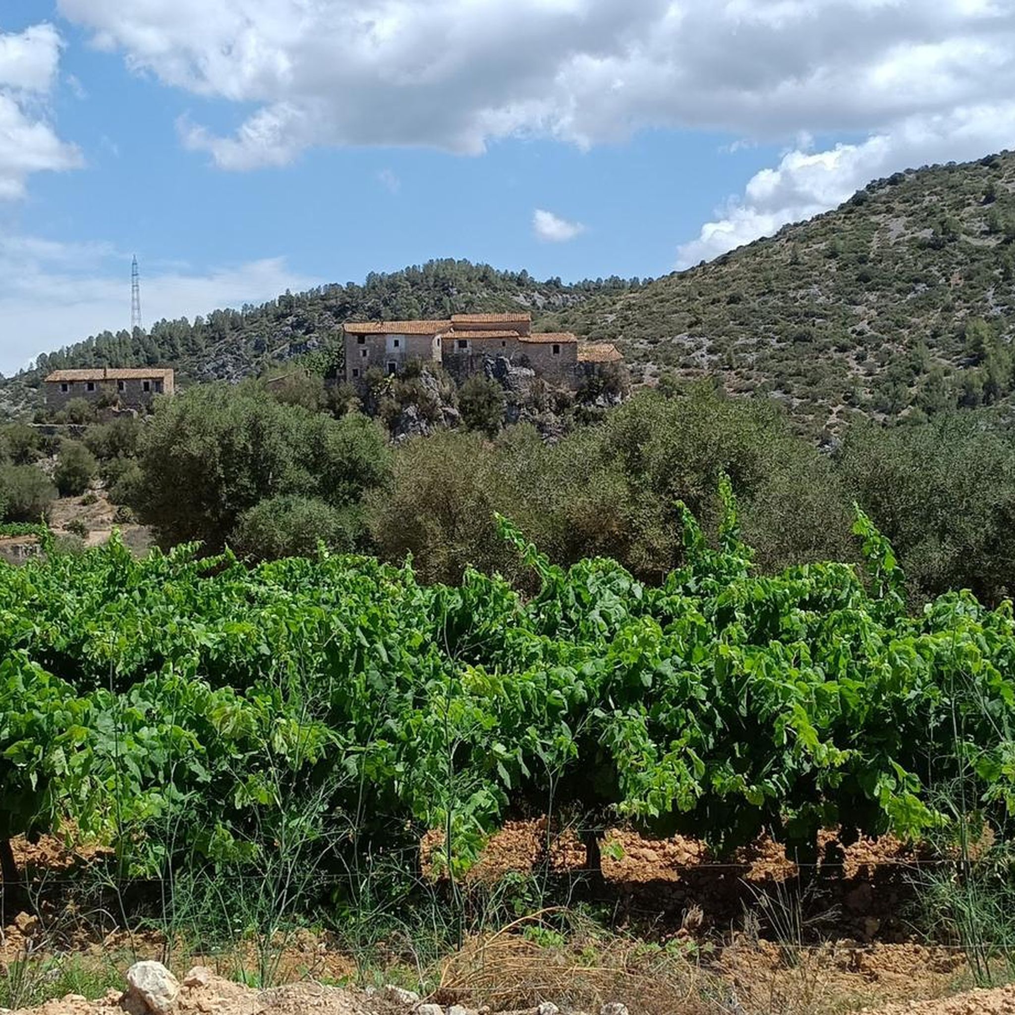
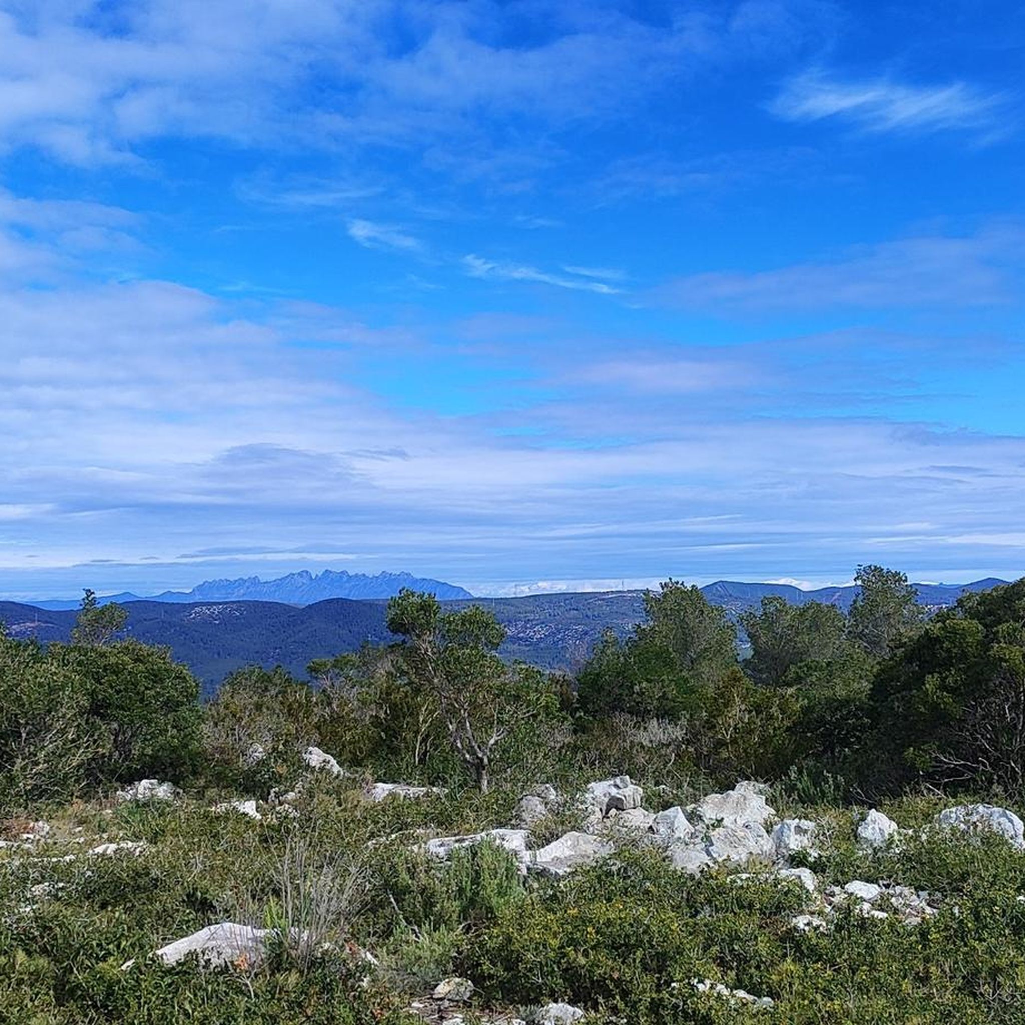
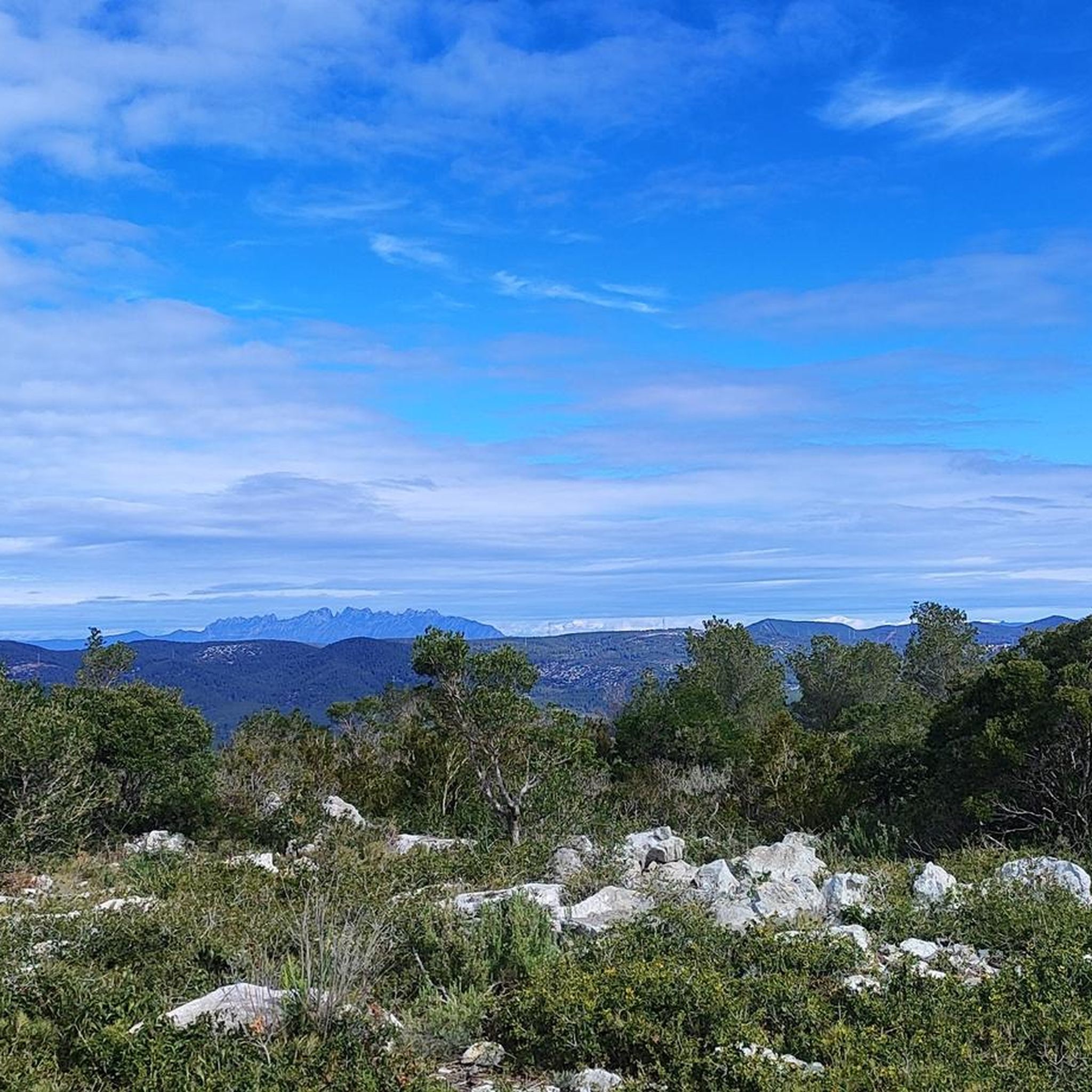
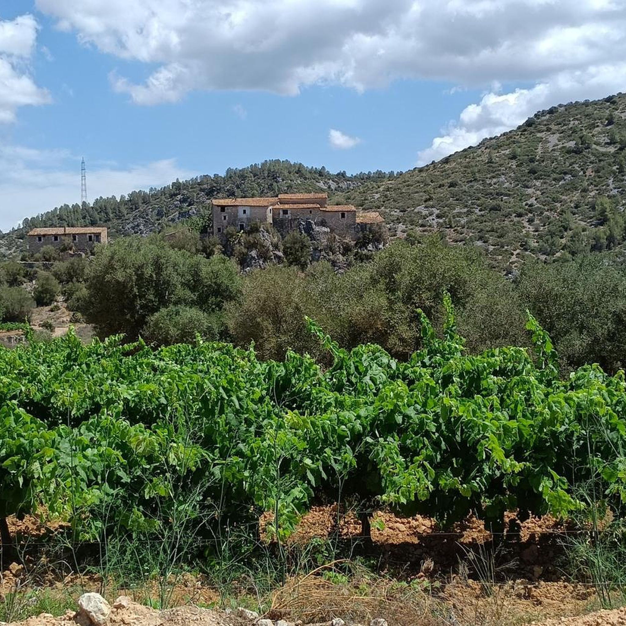
Hiking around Avinyonet Del Penedès offers a diverse landscape combining expansive vineyards with mountainous, forested regions. The region features relatively flat plains dominated by vineyards, providing scenic routes. Contrasting with the plains, there are also mountainous areas with abundant forests, creating varied ecosystems. Several points of interest provide panoramic views of the local vineyards and the surrounding natural features.
Best hiking trails around Avinyonet Del Penedès
- The most popular hiking route is Ermitas de Sant Pere de Lavern y Sant…
Last updated: September 27, 2026
4.3
(3)
5
hikers
9.00km
02:25
110m
110m
This moderate 5.6-mile circular hike from Sant Sadurní d'Anoia visits the historic hermitages of Sant Pere de Lavern and Sant Joan Salerm.
4.5
(2)
3
hikers
14.1km
03:55
260m
260m
Hike 8.8 miles through vineyards and forests from Avinyó Nou to Sant Pau d'Ordal, enjoying panoramic views from Mirador de les Gunyoles.

11.7km
03:36
400m
400m
Hike the moderate 7.2-mile Penedès 360 Trekking loop from Sant Pau d'Ordal to Turó de les Mentides, gaining 1306 feet.
4.6
(5)
12
hikers
4.76km
01:20
90m
100m
Easy hike. Great for any fitness level. Easily-accessible paths. Suitable for all skill levels.
4.7
(3)
11
hikers
Moderate hike. Good fitness required. Mostly accessible paths. Sure-footedness required.
Get access to more routes and recommendations from other explorers.
Already have an account?
Our route recommendations are based on thousands of hikes, rides, and runs completed by other people on komoot.
Start today with a free account
Your next adventure awaits.

Tips from the Community

Technical but not impossible with the mtb
0
0
Highest point of Garraf. Peak with a lot of wind. But with 360 degree views
0
0
Highest point of Garraf.
0
0
Mtb. Better spring. Good views
0
0
Good place to stop for supplies
0
0


Set of five concavities located on the SW side of the Puig de la Mola (Garraf), along a 70-metre-long ridge. The cavities have a linear route that oscillates between 3 and 6 meters. Without any speleological interest. To access this peak there is a long track (closed to vehicles) that leaves the road from Begues to Olesa de Bonesvalls. Known since time immemorial. The only known data are those published by members of the Víctor Balaguer Museum (Vilanova i la Geltrú) who did the topography in June 1981.
0
0

It is at this point where several paths cross, one that takes you to the top of Puig de la Mola and the other that goes in the direction of Les Balmes del Puig de la Mola.
0
0
Frequently Asked Questions
How many hiking trails are available in Avinyonet Del Penedès?
Avinyonet Del Penedès offers a wide variety of hiking trails, with nearly 400 routes available. These include over 110 easy trails, more than 250 moderate routes, and around 20 difficult options, catering to all skill levels.
What types of landscapes can I expect to see while hiking in Avinyonet Del Penedès?
The region boasts a diverse landscape, combining expansive vineyards with mountainous, forested areas. You'll find relatively flat plains dominated by vineyards, offering scenic and gentle routes, alongside more challenging mountainous terrain with rich forests. This provides a varied experience, from open agricultural views to shaded woodland paths.
Are there any easy hiking trails suitable for beginners or families?
Yes, Avinyonet Del Penedès has over 110 easy trails. For a relaxed walk, consider routes like the 'L'Origen de la Vinya Trail' (3.5 km) or the 'Santa Magdalena Trail' (6 km), which are well-suited for beginners or families looking for a gentle outing.
Are there any circular hiking routes in Avinyonet Del Penedès?
Yes, many trails in the area are circular. A popular option is the Ermitas de Sant Pere de Lavern y Sant Joan Salerm — circular desde Sant Sadurní d'Anoia, a 9 km path connecting two local hermitages. Another is From Avinyó Nou to Sant Pau d'Ordal — circular by the Mirador de les Gunyoles (Colina Mireta), offering scenic views.
What cultural or historical sites can I explore on a hike?
Hiking paths in Avinyonet Del Penedès often lead to significant cultural and historical sites. You can visit the Iberian archaeological site of 'Turó de la Font de la Canya,' the Romanesque monastery of Sant Sebastià dels Gorgs, or the medieval dovecote and tower of l'Arboçar, which offers magnificent vineyard views. The Roman tower and old quarter of Les Gunyoles are also points of interest.
Where can I find panoramic views during my hike?
Several points offer breathtaking vistas. 'El Circell' is a lookout point with 360-degree views of the local vineyards. Other significant viewpoints include La Morella Summit, providing views from the Parc del Garraf into Barcelona, and the Rat Penat Climb, which offers views of the Garraf coast and Barcelona city. The Gavà - Begues Climb also provides impressive views.
Are there any long-distance or more challenging trails?
For those seeking a greater challenge, the region offers routes like 'Les Serres Trail' (17 km, Very difficult) and 'La Serra de la Llampa Trail'. There are approximately 20 difficult routes in total, providing options for experienced hikers.
What do other hikers enjoy most about the trails in Avinyonet Del Penedès?
The trails in Avinyonet Del Penedès are highly rated by the komoot community, with an average score of 4.4 stars from over 800 reviews. Hikers often praise the diverse terrain, the scenic vineyard views, and the well-maintained paths that lead through both natural landscapes and charming towns.
Is Avinyonet Del Penedès suitable for dog-friendly hiking?
While specific regulations for dogs on trails can vary, the natural and varied landscape of Avinyonet Del Penedès, with its numerous forest tracks and paths, generally offers many opportunities for hiking with dogs. It's always advisable to keep dogs on a leash and respect local signage.
What is the best time of year to go hiking in Avinyonet Del Penedès?
The region is enjoyable for hiking throughout much of the year. Spring and autumn offer pleasant temperatures and vibrant scenery, with blooming vineyards or rich autumnal colors. Even in winter, the climate can be mild, making it suitable for walks, while summer can be warm, so early morning or late afternoon hikes are recommended.
Are there any notable attractions near the hiking routes?
Beyond the trails themselves, you can find several attractions. The Garraf Buddhist Monastery, Sakya Tashi Ling, is a unique cultural site. You can also explore various mountain passes like Alt de les Bassioles or Coll de l'Ordal, which offer additional points of interest and scenic drives.
Are there options for public transport or parking near the trailheads?
Avinyonet Del Penedès is accessible, and many trailheads are located near towns or villages. While specific public transport options to every trailhead may vary, local bus services connect the main towns. Parking is generally available in or near the villages that serve as starting points for many routes. It's recommended to check specific route details for precise parking information.
Most popular routes around Avinyonet Del Penedès
Most popular attractions around Avinyonet Del Penedès

Get inspired with the komoot mobile app


Explore more
Browse the best Hikes in other regions.
