The best road cycling routes around Llombai
4.5
(30)
2,466
riders
75
rides
Road cycling routes around Llombai traverse a region characterized by diverse landscapes, including forests, undergrowth, and varied elevation changes. The terrain offers a mix of paved and unpaved surfaces, with routes featuring mountain passes and climbs requiring different fitness levels. The area is also home to the tranquil Magro River, providing scenic backdrops for rides.
Best road cycling routes around Llombai
- The most popular road cycling route is Torre de Montroy – Bar El Cazador loop from Llombai, a 36.1 miles (58.1 km) trail that takes 2 hours 37 minutes to complete. This moderate route features significant elevation changes through varied landscapes.
- Another top favourite among local road cyclists is Júcar to Turia Canal – Weir of the Magre River loop from Real, an easy 26.7 miles (43.0 km) path. This route follows the Magro River and canals, offering a gentler ride through the region's natural features.
- Local road cyclists also love the Riu Magre - Pas de l'Horteta – Weir of the Magre River loop from Punta Galán, a 29.7 miles (47.8 km) trail leading through riverine landscapes and varied terrain, often completed in about 2 hours 6 minutes.
- Road cycling around Llombai is defined by diverse landscapes, including forests, river valleys, and mountain passes. The network offers options for easy, moderate, and difficult routes, catering to various ability levels.
- The routes in Llombai are highly rated by the komoot community with an average score of 4.3 stars from over 31 reviews. More than 2400 road cyclists have used komoot to explore Llombai's varied terrain.
Last updated: May 10, 2026
5.0
(4)
99
riders
58.1km
02:38
600m
600m
Moderate road ride. Good fitness required. Mostly well-paved surfaces and easy to ride.
75
riders
43.0km
01:52
240m
250m
Easy road ride. Great for any fitness level. Mostly well-paved surfaces and easy to ride.

Sign up for free
3.0
(1)
74
riders
Moderate road ride. Good fitness required. Mostly well-paved surfaces and easy to ride.
66
riders
69.6km
03:43
1,370m
1,370m
Hard road ride. Very good fitness required. Mostly well-paved surfaces and easy to ride.
60
riders
43.7km
01:55
340m
340m
Moderate road ride. Good fitness required. Mostly well-paved surfaces and easy to ride.
Get access to more routes and recommendations from other explorers.
Sign up for free
Already have an account?
Our route recommendations are based on thousands of hikes, rides, and runs completed by other people on komoot.
Start today with a free account
Your next adventure awaits.
Login or Signup
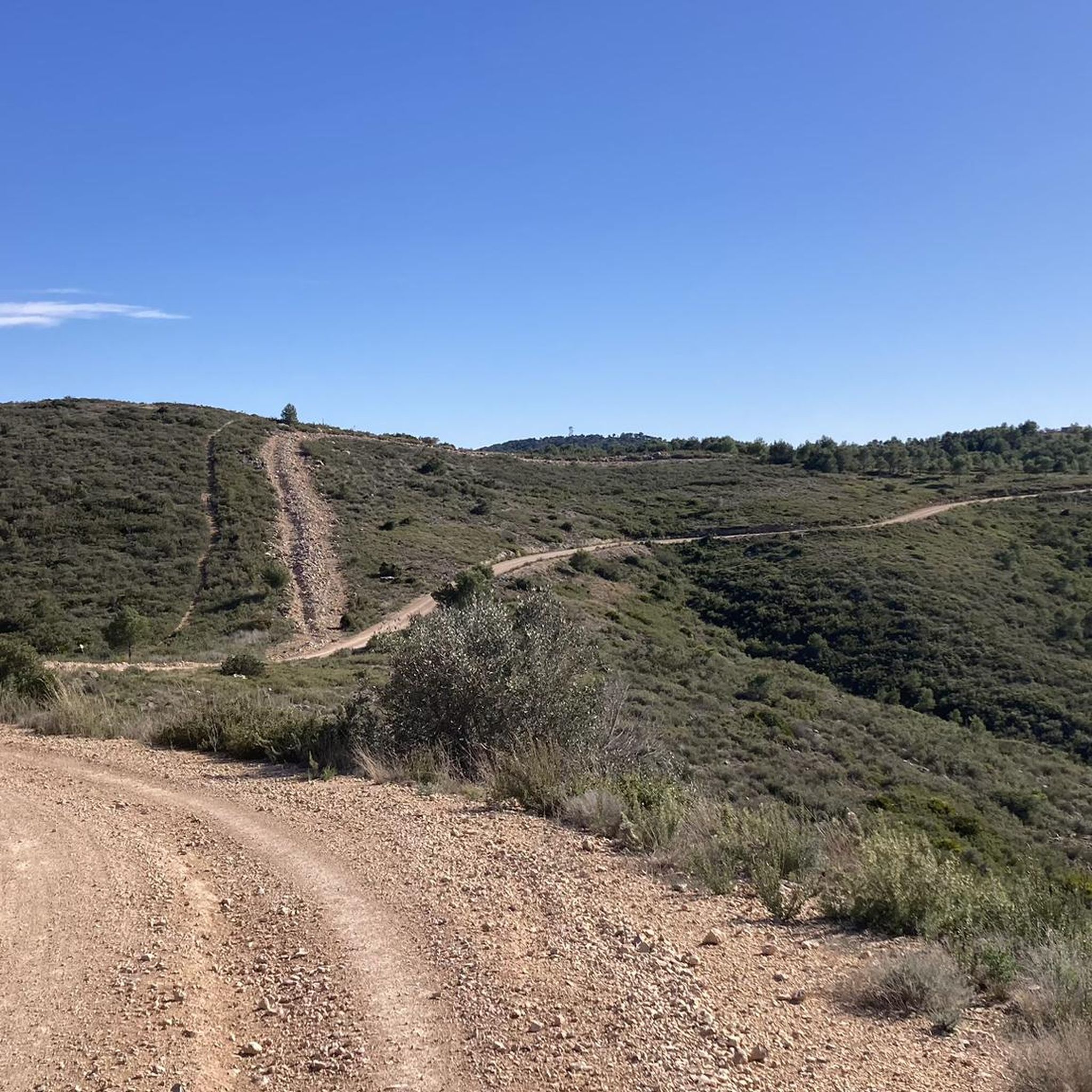
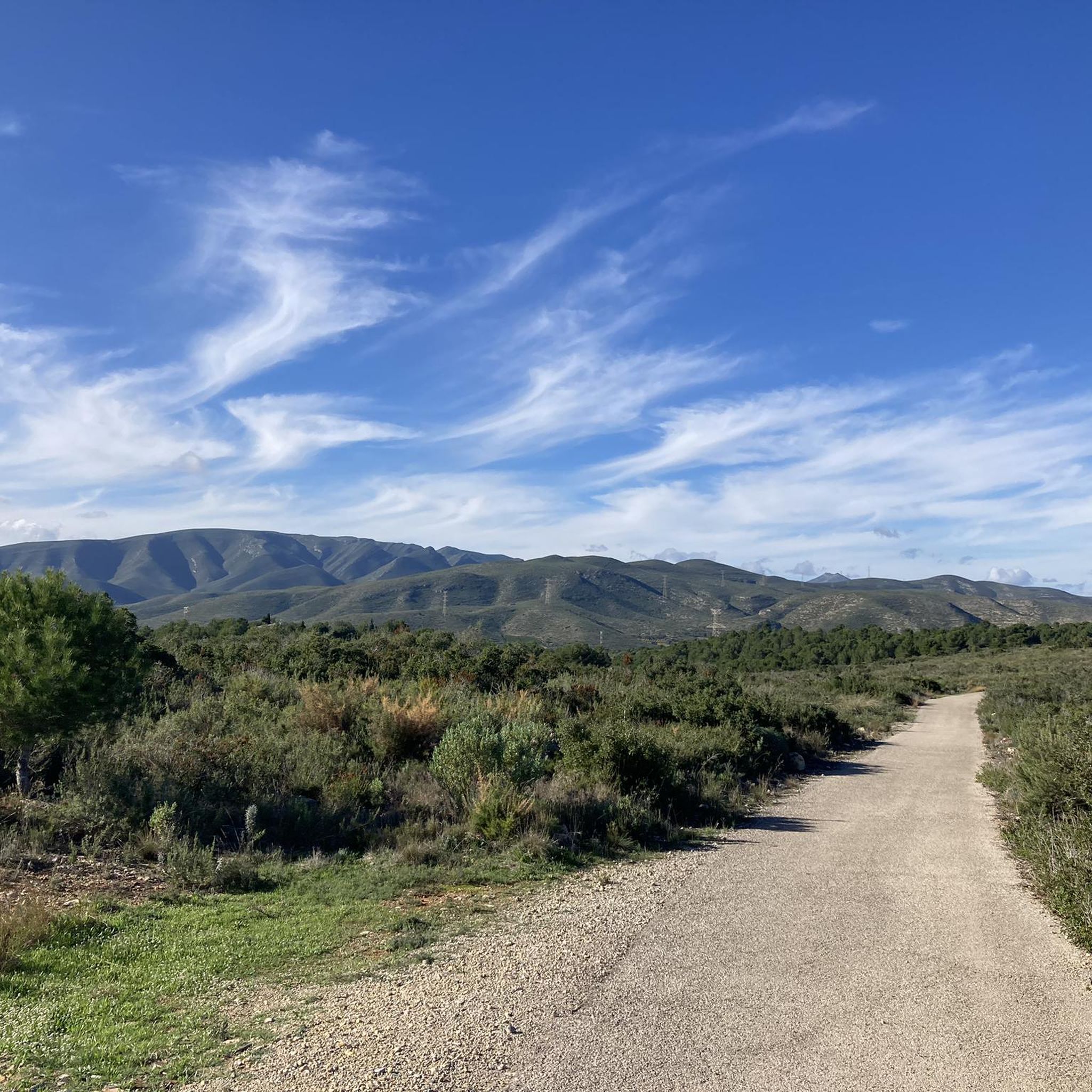
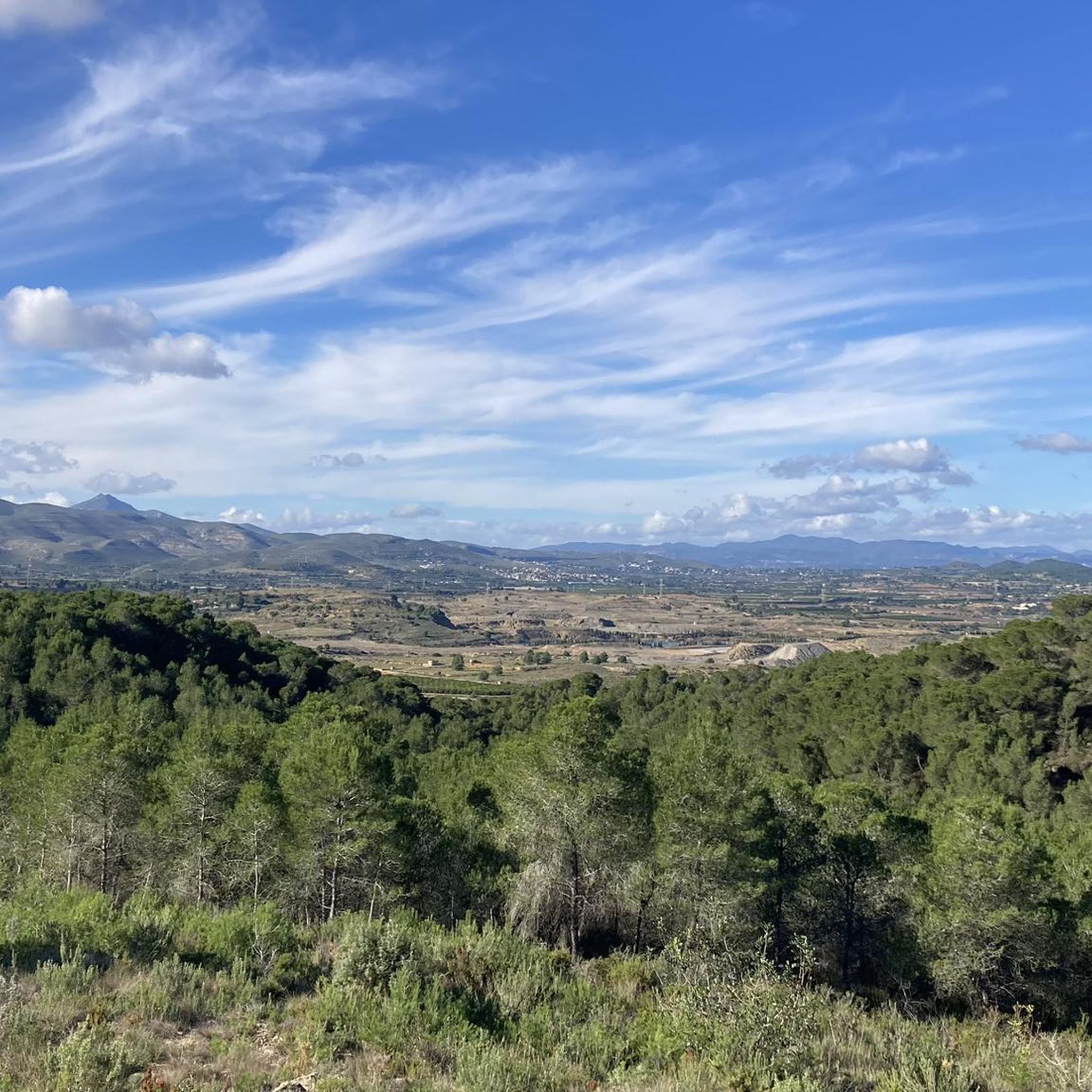
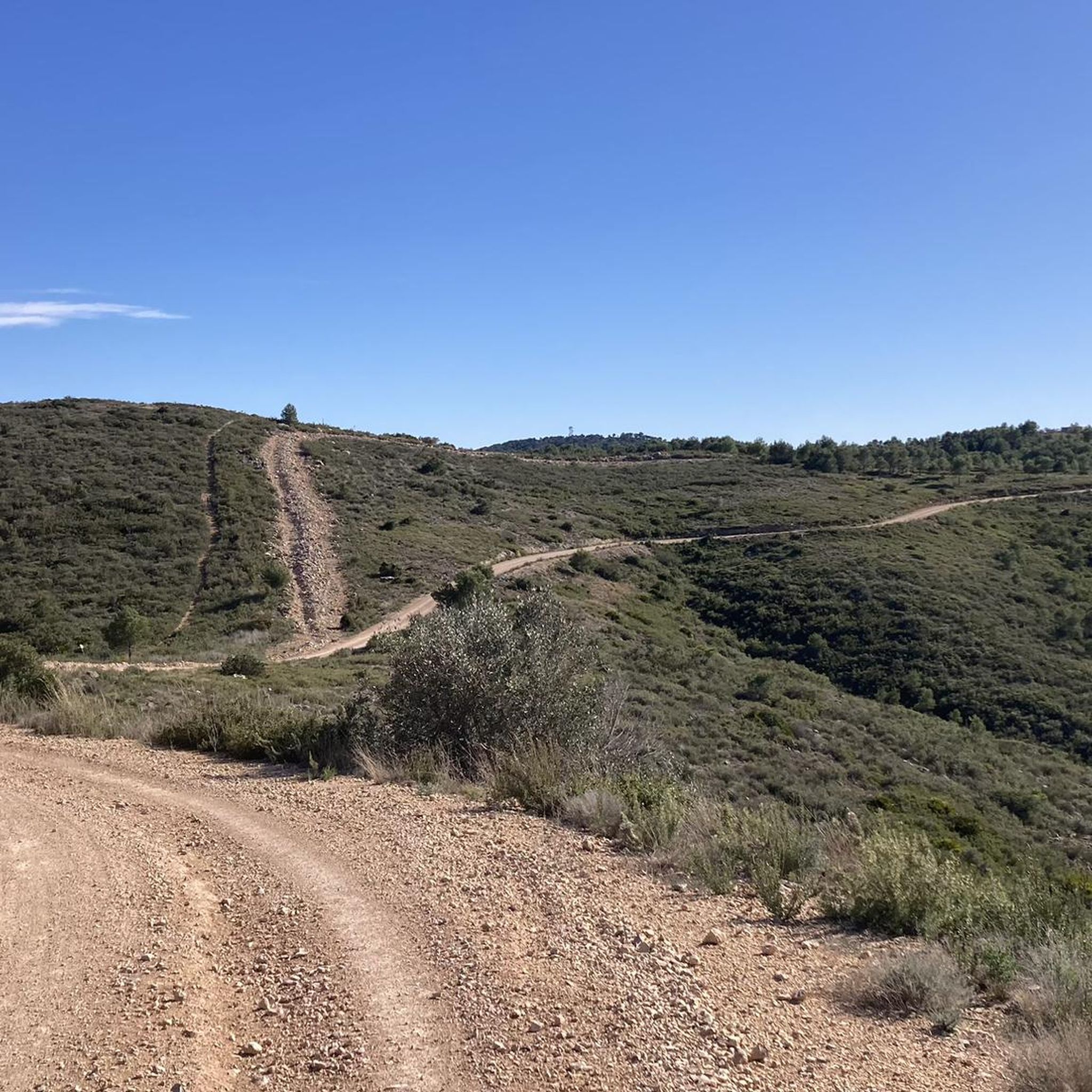

Tips from the Community

Junt al canal existeix una carretera poc transitada molt adequada per a circular en bici des de prop de Tous fins el terme d'Aldaia, a partir del qual el canal segueix de manera subterrània.
1
0

The pass begins when crossing the bridge over the Jucar river and ends when entering the town of Millares. It is 4.2 km at 4.3%
0
0
Long mural with two distinct parts, one with characters and the other with a message.
1
0

The Church of San Luis de Bertrán is a temple located in the Fuente de San Luis neighborhood, in the city of Valencia. It is dedicated to San Luis de Bertrán, who gives his name to the neighborhood where it is located.
2
0
Tremendous views of the area. It's worth climbing
1
0
The Fuente Real port (adding the section of the Balcòn de Montroy port) is 10km at 4.4%, with a couple of kms in each section above 5% (reaching 7% in some areas) and the rest calmer.
1
0
5.63 km (from the Toris to Llombai highway) at 4.5% average) works well as an aperitif (and initial part) of Puerto de Fuente Real.
1
0
Frequently Asked Questions
How many road cycling routes are available around Llombai?
There are over 75 road cycling routes around Llombai, offering a wide range of options for different skill levels and preferences.
What kind of terrain can I expect on road cycling routes in Llombai?
Llombai's road cycling routes feature diverse landscapes, including forests, river valleys, and mountain passes. You'll encounter a mix of paved and unpaved surfaces, with varying elevation gains from gentle stretches along the Magro River to challenging climbs requiring good fitness.
Are there road cycling routes suitable for beginners in Llombai?
Yes, Llombai offers several easy road cycling routes. For example, the Júcar to Turia Canal – Weir of the Magre River loop from Real is an easy 43 km path that follows the Magro River and canals, providing a gentler ride through the region's natural features.
Where can I find challenging road cycling routes with significant climbs?
For more challenging rides, Llombai has routes with substantial elevation gains. The Fuente Real Pass – View of Dos Aguas loop from Llombai is a difficult 69.6 km route featuring over 1370 meters of ascent, offering a demanding experience for experienced cyclists.
What are some scenic viewpoints or landmarks I can visit along road cycling routes?
Many routes offer access to stunning viewpoints and historical landmarks. You can find panoramic views from L'Estepar Viewpoint or the View of the Gulf of Valencia from Alt de València within the El Tello Municipal Natural Park. Historical sites like the Tower of the Castle of Montroy are also accessible along certain routes.
Are there any circular road cycling routes around Llombai?
Yes, many of the road cycling routes in Llombai are designed as loops. Examples include the Torre de Montroy – Bar El Cazador loop from Llombai and the Riu Magre - Pas de l'Horteta – Weir of the Magre River loop from Punta Galán, allowing you to start and finish in the same location.
What do other road cyclists say about the routes in Llombai?
The road cycling routes in Llombai are highly rated by the komoot community, with an average score of 4.3 stars from over 30 reviews. Cyclists often praise the diverse landscapes, from tranquil river valleys to challenging mountain passes, and the variety of routes available for all skill levels.
Is there public transport access to road cycling trailheads in Llombai?
While specific public transport options directly to every trailhead may vary, Llombai is a town in the province of Valencia, which generally has regional bus services. It's advisable to check local bus schedules for connections to Llombai and nearby towns that serve as starting points for routes.
What is the best time of year for road cycling in Llombai?
The region around Llombai generally offers favorable conditions for road cycling for much of the year. Spring and autumn provide pleasant temperatures, while summer can be hot, making early morning or late afternoon rides preferable. Winters are typically mild, allowing for year-round cycling, though checking local weather forecasts is always recommended.
Are there any family-friendly road cycling options in Llombai?
For families, routes with less elevation and along quieter paths are ideal. The region's tranquil natural experiences, such as the Llombai botanical trail along the peaceful Magro River, can be integrated into gentler rides. Look for routes categorized as 'easy' on komoot for suitable options.
Where can I park my car when starting a road cycling route in Llombai?
Llombai, as a town, typically offers public parking facilities. When planning your route, consider starting points within or near the town center where parking is available. For routes beginning in smaller villages or natural areas, look for designated parking spots or consult local information for specific trailhead parking.
Can I find cafes or places to stop for refreshments along the road cycling routes?
Many routes pass through or near towns and villages where you can find cafes, bars, and restaurants for refreshments. It's a good idea to plan your route with potential stops in mind, especially on longer rides, to enjoy local hospitality and refuel.
Most popular attractions around Llombai

Get inspired with the komoot mobile app


Explore more
Browse the best Road cycling routes in other regions.
