The best road cycling routes around Garciaz
5.0
(2)
99
riders
5
rides
Road cycling routes around Garciaz are situated within the Spanish autonomous community of Andalusia, offering varied terrain for cyclists. The region is characterized by undulating landscapes, featuring climbs and descents, and extensive farmlands dominated by olive trees and cereals. Proximity to the Sierra Mágina Natural Park introduces additional natural features, including Holm and Gall oaks, and pine trees. This area provides a range of road cycling experiences, from moderate to difficult.
Best road cycling routes around Garciaz
- The most popular…
Last updated: November 10, 2026
14
riders
109km
05:41
1,930m
1,930m
Hard road ride. Very good fitness required. Mostly well-paved surfaces and easy to ride.
9
riders
87.3km
04:19
1,390m
1,390m
Hard road ride. Very good fitness required. Mostly well-paved surfaces and easy to ride.

4
riders
50.2km
02:22
680m
680m
Moderate road ride. Good fitness required. Mostly well-paved surfaces and easy to ride.
4
riders
44.5km
02:12
700m
700m
Moderate road ride. Good fitness required. Mostly well-paved surfaces and easy to ride.
3
riders
29.5km
01:17
300m
300m
Moderate road ride. Good fitness required. Mostly well-paved surfaces and easy to ride.
Our route recommendations are based on thousands of hikes, rides, and runs completed by other people on komoot.
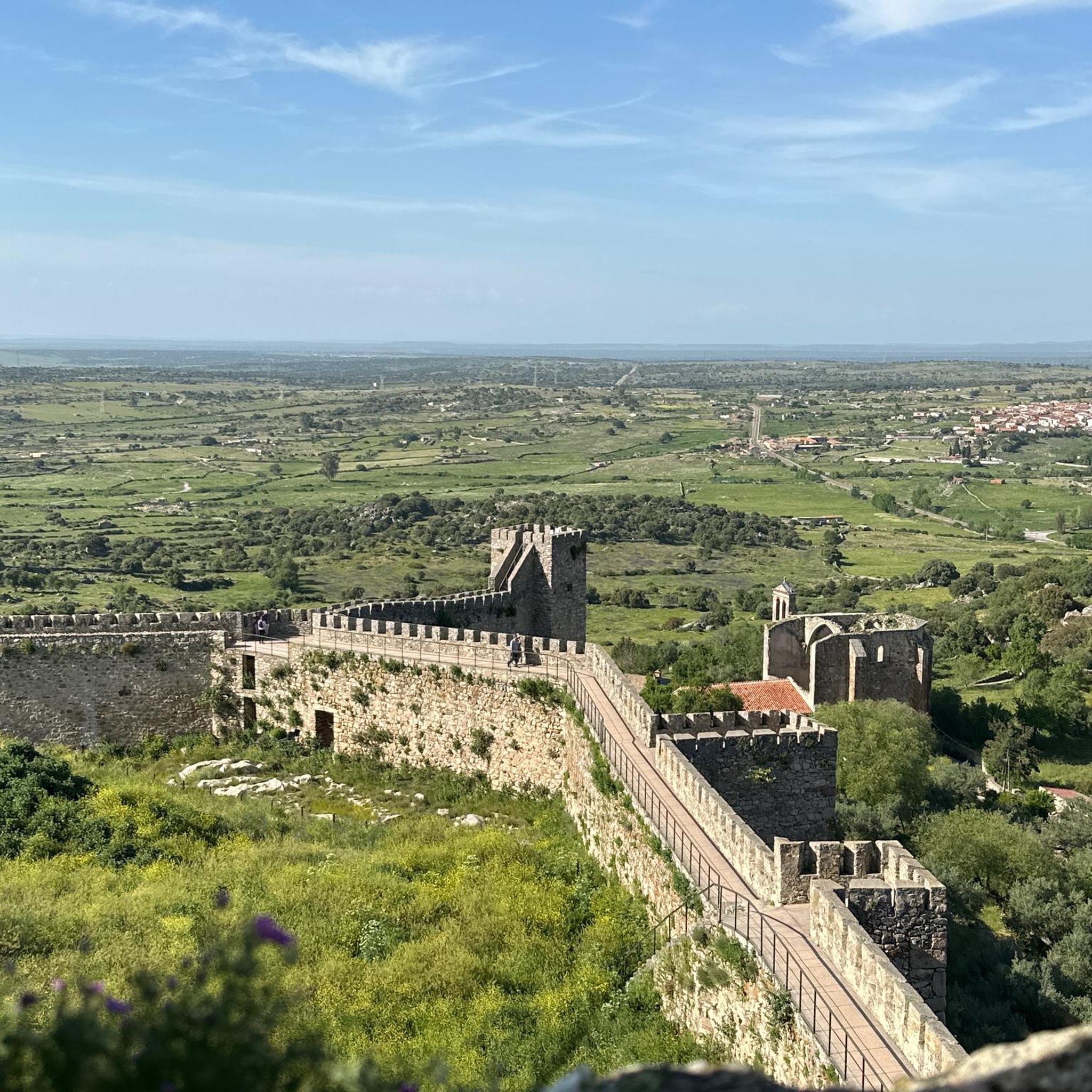
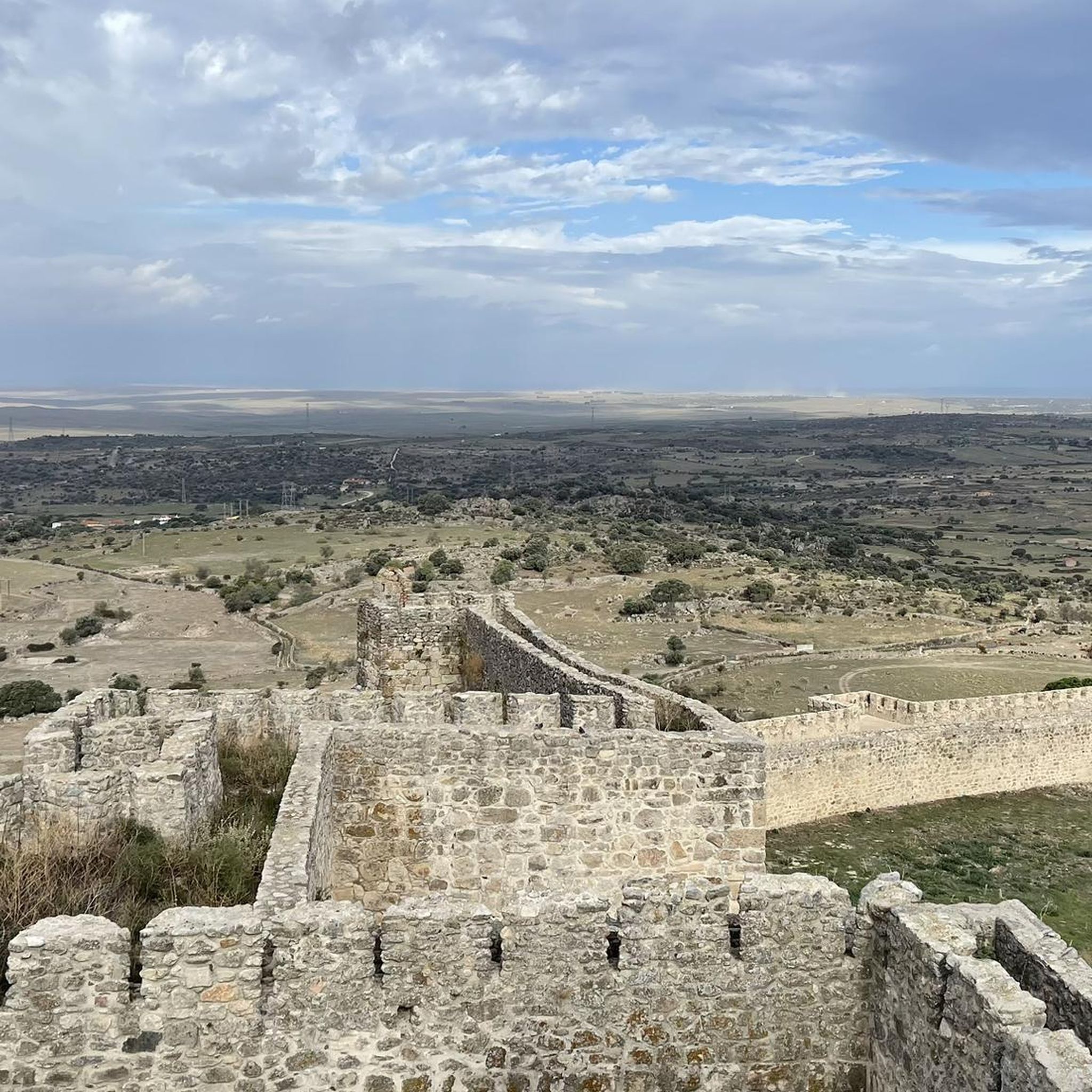

Tips from the Community

If you decide to explore this route, you will be surrounded by nature, history and breathtaking views. Enjoy your hike! 🏞️🚶♂️🥾🚵🌞
8
0

A small bridge over the Almonte river. Crossroads towards the Cabañas del Castillo. Surrounded by the huge cliffs and rock formations of the Villuercas Ibores La Jara Geopark.
1
0
Aldecentenera is a small agricultural town in the region of Aguas de Madroñera. The town is of medieval origin. Stop to rest and have a coffee in the Plaza España in the center of the town.
1
0
A small bridge over the Almonte river. The bridge is the beginning of the ascent to Cabañas del Castillo. Spectacular views of the massive rock formation and gorge above.
1
0

From this road you can see the forests that surround the town.
1
0

View of Cabañas del Castillo and the Almonte river gorge. It can be crossed with a hiking trail
1
0
Frequently Asked Questions
What kind of terrain can I expect when road cycling around Garciaz?
The area around Garciaz is characterized by undulating landscapes, featuring a mix of climbs and descents. You'll cycle through extensive farmlands dominated by olive trees and cereals, with routes also offering views of the natural features within the Sierra Mágina Natural Park, including Holm and Gall oaks, and pine trees.
How many road cycling routes are available in the Garciaz area?
There are 8 distinct road cycling routes available around Garciaz, offering a variety of experiences for cyclists.
What is the best season for road cycling in Garciaz?
Andalusia, where Garciaz is located, is known for its long, warm summers. This makes the region generally suitable for cycling for much of the year, though spring and autumn might offer more temperate conditions for longer rides.
Are there any easy road cycling routes for beginners or families?
The routes around Garciaz are primarily categorized as moderate to difficult. There are 4 moderate routes and 4 difficult routes, meaning there are no routes specifically designated as easy for beginners or young families.
Are there circular road cycling routes available in Garciaz?
Yes, many of the routes around Garciaz are designed as loops. For example, you can explore the Pico Villuercas Summit – Guadalupe Viaduct loop from Cabañas del Castillo or the Bridge Over the Almonte River – Apreturas del Almonte loop from Madroñera.
What interesting sights or landmarks can I see along the road cycling routes?
Along the routes, you can encounter various points of interest. Notable attractions include the historic town of Zorita, the impressive Cabañas del Castillo Castle, and the scenic Bridge Over the Almonte River. Some routes also pass through areas near the Ascent to Pico Villuercas.
What do other road cyclists say about the routes in Garciaz?
The road cycling routes in Garciaz are highly rated by the komoot community, holding an average score of 5.0 stars from 4 reviews. Cyclists often appreciate the varied terrain and the natural beauty of the region.
Are there any routes that pass through historical towns or villages?
Yes, one notable route is the Plaza Mayor of Trujillo loop from Madroñera, which leads through the historic area of Trujillo, allowing you to experience its rich heritage.
Where can I find amenities like cafes or restaurants near the cycling routes?
Garciaz is a small rural town. While specific cafes along the routes are not detailed, you can typically find local amenities, including cafes and restaurants, within the town of Garciaz itself or in nearby larger villages like Madroñera, which serves as a starting point for several routes.
Is there parking available for cyclists in Garciaz?
As a rural town, Garciaz generally offers parking options, particularly in the town center or near local amenities. For routes starting from other villages like Madroñera or Cabañas del Castillo, parking would typically be available in those respective locations.
What is the longest road cycling route around Garciaz?
The longest route available is the Plaza Mayor of Trujillo loop from Madroñera, covering 69.1 miles (111.1 km).
What is the shortest road cycling route around Garciaz?
The shortest route is the Embalse del Toledillo loop from Madroñera, which is a moderate 23.6 miles (37.9 km) ride.
Can I reach Garciaz by public transport to start my cycling tour?
Garciaz is a small rural town in Andalusia. While specific bus routes are not detailed, public transport options to smaller towns in rural Spain can be limited. It's advisable to check local bus schedules for connections to Garciaz or nearby larger towns from major transport hubs.
Most popular attractions around Garciaz

Get inspired with the komoot mobile app


Explore more
Browse the best Road cycling routes in other regions.
