The best running trails around Aldeire
4.3
(4)
418
runners
54
runs
Jogging around Aldeire offers diverse terrain, from the high peaks of the Sierra Nevada foothills to the river valleys and forested areas. The region is characterized by its dramatic landscapes, including hills, riverbeds, and expansive views. Runners can explore a mix of challenging mountain paths and more gentle trails through agricultural lands and woodlands. The varied topography provides opportunities for different types of running experiences.
Best jogging routes around Aldeire
- The most popular jogging route is Chullo and Lagunilla Seca…
Last updated: October 6, 2026
13
runners
16.7km
03:33
650m
650m
Hard run. Very good fitness required. Sure-footedness, sturdy shoes and alpine experience required.
4
runners
12.3km
01:32
360m
360m
Hard run. Very good fitness required. Mostly accessible paths. Some sure footedness required.

20
runners
12.6km
01:43
380m
380m
Hard run. Very good fitness required. Mostly paved surfaces. Suitable for all skill levels.
18
runners
10.4km
01:22
330m
330m
Hard run. Very good fitness required. Mostly paved surfaces. Suitable for all skill levels.
16
runners
14.2km
01:45
310m
310m
Hard run. Very good fitness required. Mostly paved surfaces. Suitable for all skill levels.
Get access to more routes and recommendations from other explorers.
Already have an account?
Our route recommendations are based on thousands of hikes, rides, and runs completed by other people on komoot.
Start today with a free account
Your next adventure awaits.
Popular around Aldeire
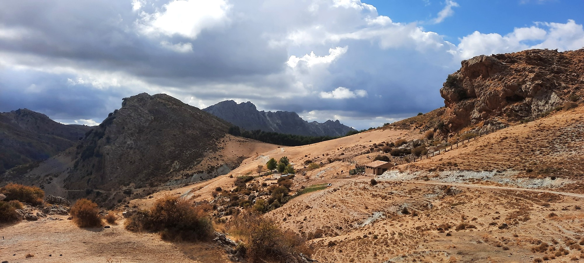
Sulayr Trail (GR 240) — 300 kilometers in the mountain of the sun

La Vuelta 26 — All Official Stages

Let’s head south – cycle in Andalusia with me and my dog
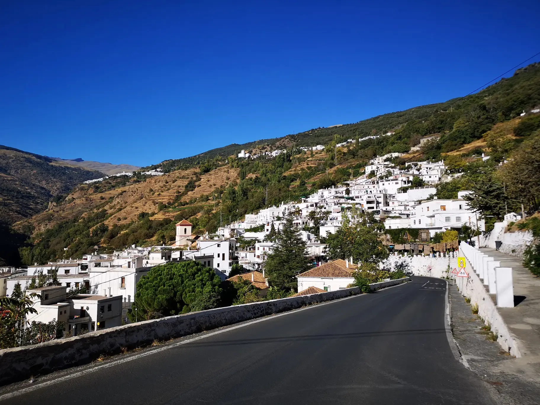
An Andalusian adventure on wheels – Transnevada
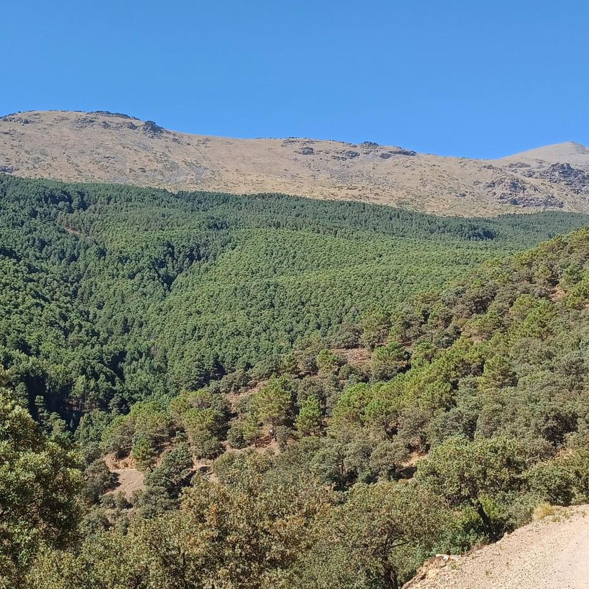
MTB Trails around Aldeire
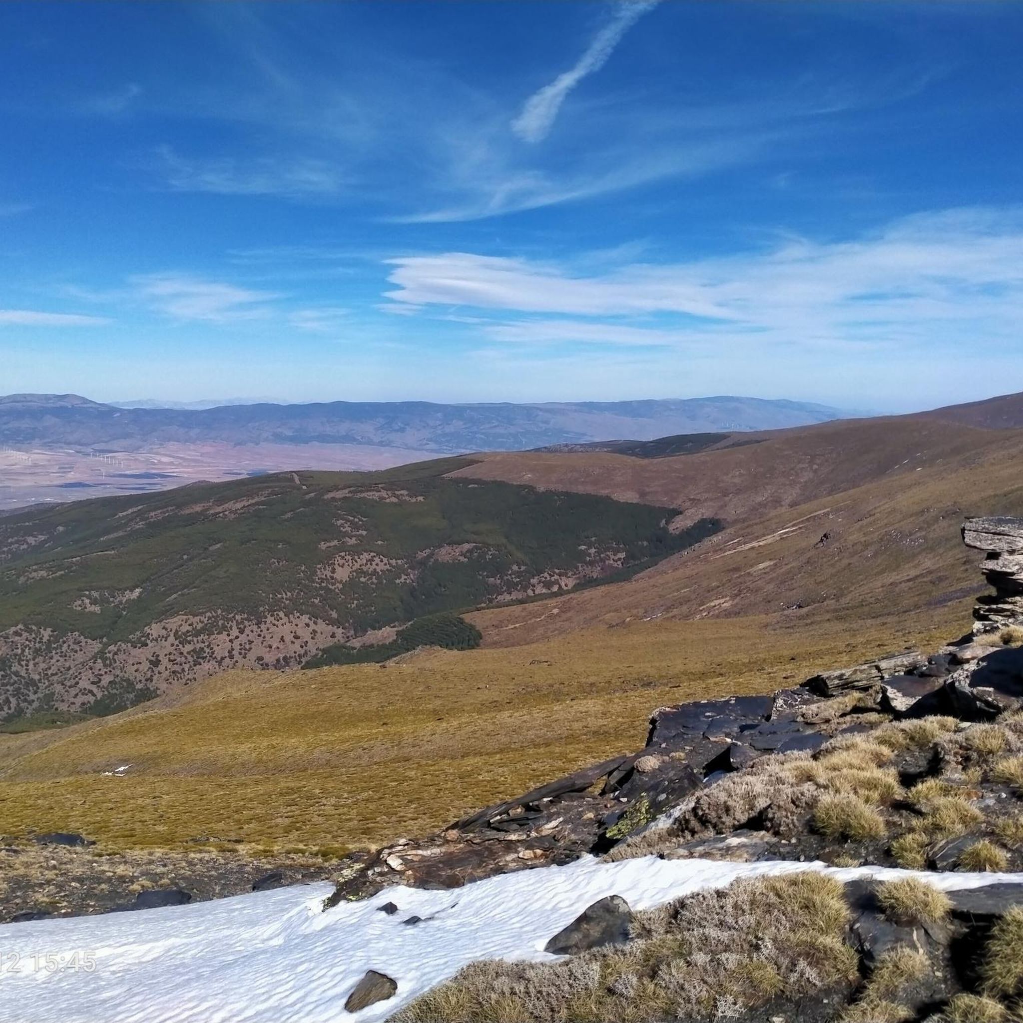
Hiking around Aldeire

Gravel biking around Aldeire
Road Cycling Routes around Aldeire
Cycling around Aldeire
Other adventures around Aldeire


Tips from the Community

a wonder to behold with the Sierra Nevada in the background
0
1

Very nice hike with a great panoramic view. Finally, a detour to the castle of La Calahorra, which is unfortunately only open on Wednesdays. Nevertheless, the beautiful view is worth it!
0
1

First great view just above the Puerto de la Ragua car park. Here you can see the short, super nice tour to the Chullo summit in the video. https://youtu.be/DxUrMbFJmow
4
0
Mega beautiful view of the Sierra Nevada and a great short tour from the parking lot. Here in the video you can marvel at the whole tour in short: https://youtu.be/DxUrMbFJmow
1
0

Place where the Benéjar river is born, perfect for taking a break to enjoy the landscape and, in very hot seasons, take the opportunity to cool off.
2
1
Nice path with a moderate slope that allows us to enjoy the small waterfalls of the Benéjar river.
3
0

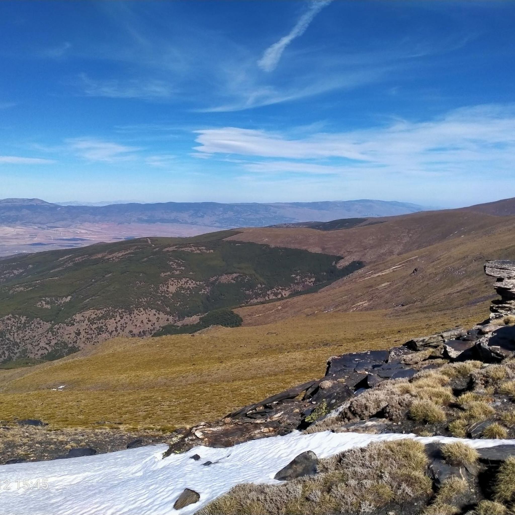
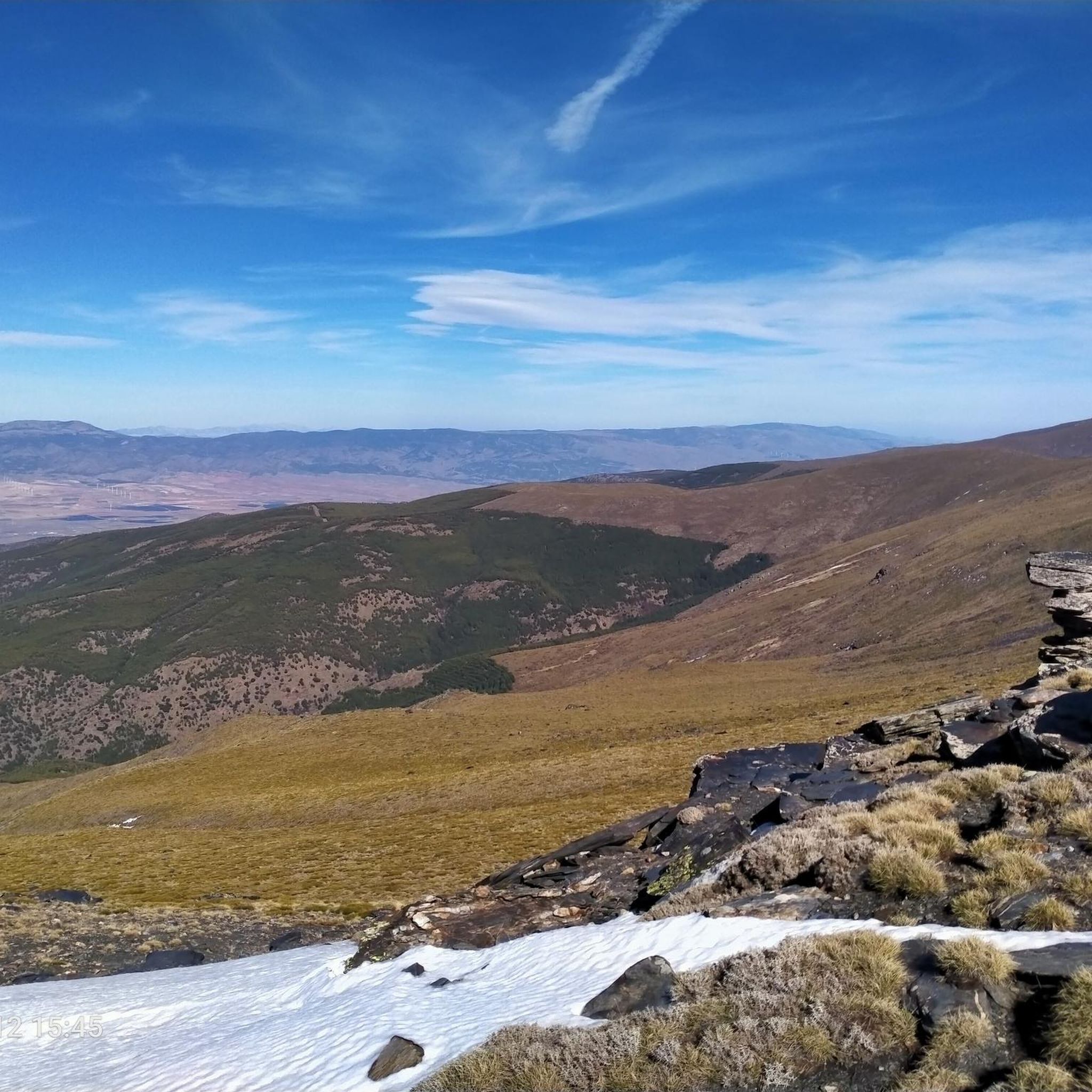
From El Chullo, at 2612 meters above sea level, you have very good views of Sierra Nevada and Almería.
2
0
You will do much of the race along the river, crossing it on more than one occasion in different ways.
2
1
Frequently Asked Questions
How many running routes are available around Aldeire?
Aldeire offers a wide variety of running experiences, with over 35 routes available on komoot. These range from easy paths to challenging mountain trails, catering to different fitness levels.
What is the best season for running in Aldeire?
The region's diverse terrain, from high peaks to river valleys, makes it suitable for running in various seasons. Spring and autumn generally offer pleasant temperatures for exploring the trails. Winter running is also possible, especially on lower elevation routes, but be mindful of conditions in the higher Sierra Nevada foothills.
Are there easy running routes suitable for beginners in Aldeire?
Yes, Aldeire has options for beginners. While many routes are moderate to difficult, there is at least one easy running route available, perfect for those just starting out or looking for a more relaxed pace. You can find more easy routes by filtering on komoot.
Can I find long-distance running trails in Aldeire?
Absolutely. Aldeire offers several longer routes for endurance runners. For example, the Cave Quarter, Guadix – Mirador de la Magdalena loop from Guadix is a challenging 12.3-mile (19.8 km) trail, and the Chullo and Lagunilla Seca Loop covers 10.4 miles (16.7 km) with significant elevation gain.
Are there circular running routes in Aldeire?
Yes, many of the running trails around Aldeire are circular, allowing you to start and finish at the same point. A great example is the Río Benéjar y Castillo de la Caba – circular trail running from Aldeire, which is 7.7 miles (12.3 km) long and takes you through river valleys and past historical ruins.
Are the running trails in Aldeire suitable for families?
While many routes in Aldeire involve varied terrain and elevation, there are options that families can enjoy. Look for the easier-rated trails, which typically have less challenging ascents and descents, making them more suitable for a family outing. Always check the route details for distance and elevation before heading out.
Can I bring my dog on the running routes around Aldeire?
Many trails in natural areas are dog-friendly, but it's always best to check local regulations and specific route details. Ensure your dog is well-behaved and kept on a leash where required, especially in areas with wildlife or livestock. Remember to carry water for both yourself and your pet.
Are there running routes with good viewpoints in Aldeire?
Aldeire is known for its dramatic landscapes and offers numerous routes with stunning vistas. The Guadix Vega and Cerro del Humilladero Trail, for instance, ascends to Cerro del Humilladero, providing scenic views of the fertile valley. The challenging Chullo and Lagunilla Seca Loop also boasts panoramic mountain views.
What natural attractions can I see while running in Aldeire?
The region is rich in natural beauty. You can encounter highlights like the Chullo Peak, the tranquil Benéjar River, and the unique Confluence of the Rivers (Cruce de Los Ríos) – El Horcajo. These natural monuments add a scenic dimension to your run.
Are there historical or cultural landmarks near the running trails in Aldeire?
Yes, Aldeire and its surroundings are steeped in history. You might run past the impressive Guadix Cathedral, explore the unique Cave town Guadix, or discover the ancient Roman Theatre of Guadix. The Río Benéjar y Castillo de la Caba – circular trail specifically leads past historical ruins.
Is parking available near the running trails in Aldeire?
While specific parking information for each trailhead isn't always listed, Aldeire is a rural area, and you can often find parking in or near the villages where routes begin. It's advisable to check the starting point of your chosen route on komoot for any specific parking notes or to use satellite view to identify suitable spots.
What do other runners enjoy about the trails in Aldeire?
The running routes in Aldeire are highly rated by the komoot community, with an average score of 4.3 stars from over 3 reviews. Runners often praise the varied topography, which provides a mix of challenging mountain paths and more gentle trails through agricultural lands and woodlands, offering diverse running experiences.
Are there challenging running routes with significant elevation around Aldeire?
Yes, Aldeire is located in the foothills of the Sierra Nevada, offering plenty of challenging routes with significant elevation gain. The Chullo and Lagunilla Seca Loop, for example, features over 640 meters of ascent, providing a demanding workout and rewarding views.
Most popular attractions around Aldeire

Get inspired with the komoot mobile app


Explore more
Browse the best Running Trails & Routes in other regions.
