The best walks and hikes around Bacares
4.5
(25)
134
hikers
25
hikes
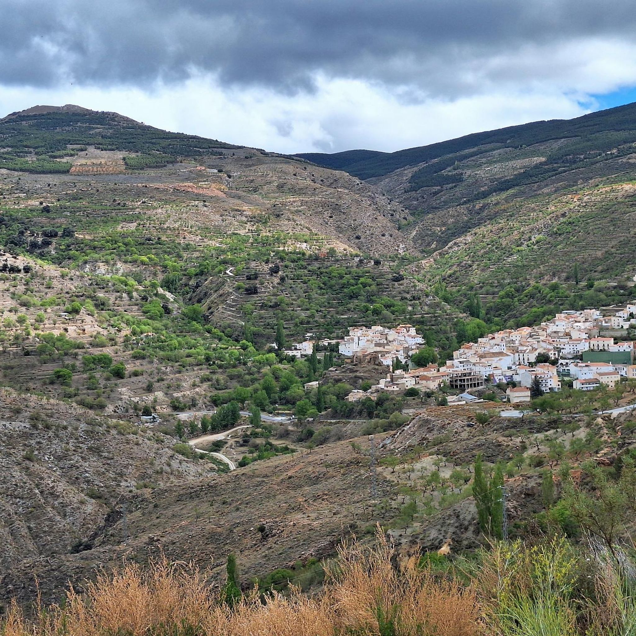
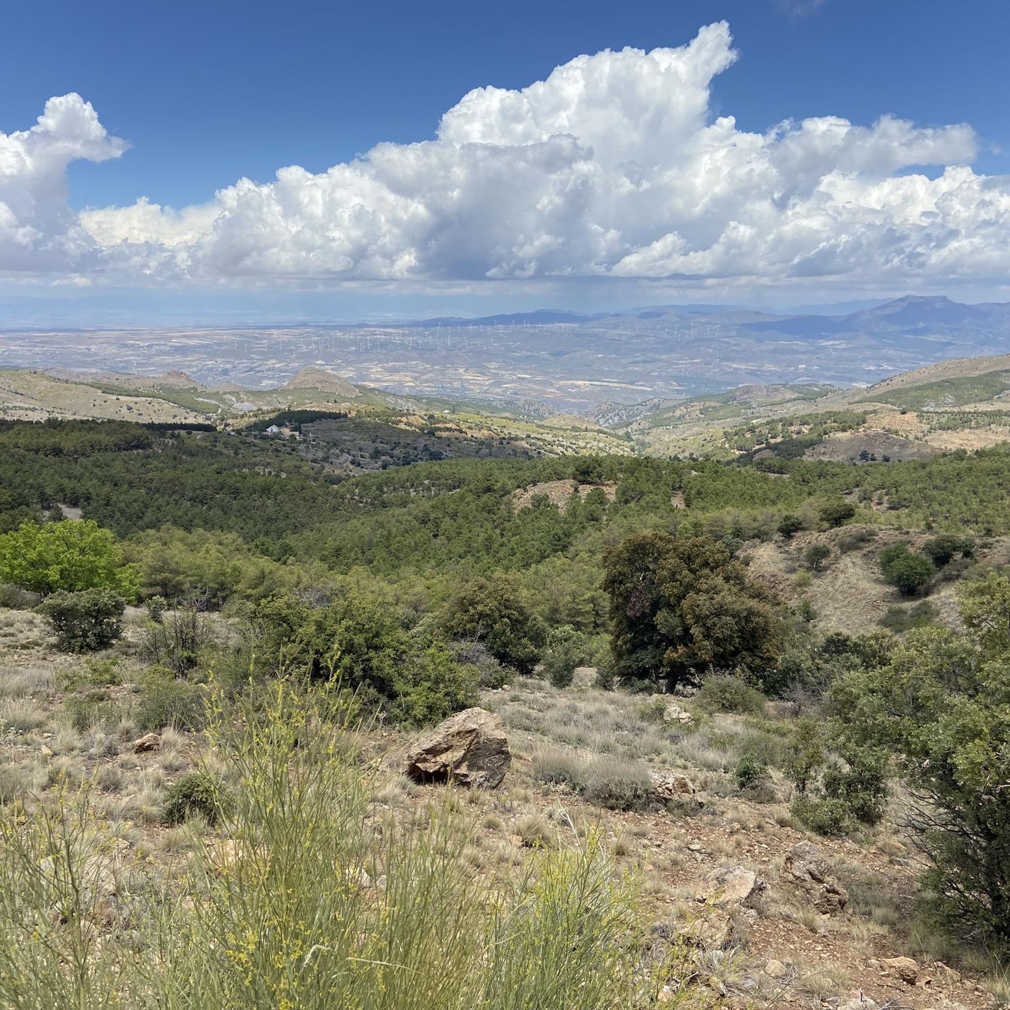
Hiking around Bacares offers access to a high-altitude, rugged mountainous environment within the Sierra de los Filabres. The region is characterized by prominent peaks such as Tetica de Bacares (2,080 meters) and Calar Alto (2,168 meters), providing challenging and rewarding experiences. Diverse natural features and hills typical of the Sierra de los Filabres define the landscape.
Best hiking trails around Bacares
- The most popular hiking route is Saw by the Era del Violín – circular (SL-A 13), a 3.9…
Last updated: August 14, 2026
4.8
(8)
26
hikers
6.57km
01:54
160m
160m
Easy hike. Great for any fitness level. Easily-accessible paths. Suitable for all skill levels.
5.0
(2)
8
hikers
12.0km
03:37
380m
380m
Moderate hike. Good fitness required. Easily-accessible paths. Suitable for all skill levels.

Sign up for free
12
hikers
4.88km
01:27
130m
130m
Easy hike. Great for any fitness level. Easily-accessible paths. Suitable for all skill levels.
3.5
(2)
10
hikers
14.4km
04:09
370m
370m
Moderate hike. Good fitness required. Easily-accessible paths. Suitable for all skill levels.
4.0
(1)
5
hikers
11.1km
03:27
440m
430m
Moderate hike. Good fitness required. Easily-accessible paths. Suitable for all skill levels.
Get access to more routes and recommendations from other explorers.
Sign up for free
Already have an account?
Our route recommendations are based on thousands of hikes, rides, and runs completed by other people on komoot.
Start today with a free account
Your next adventure awaits.
Login or Signup
Popular around Bacares
Mountain, Desert and Sea — Andalusian Trilogy
The solitude of the summits – TransAlmería by MTB (Almanzora)

Wild and free Andalusia – Transandalus through the interior
Road Cycling Routes around Bacares
Cycling around Bacares
MTB Trails around Bacares
Running Trails around Bacares

Gravel biking around Bacares
Other adventures around Bacares


Tips from the Community

If you are passing through the Sierra de los Filabres near the summit of Calar Alto, the Fuente La Merendera is an almost mandatory stop at 1882 meters above sea level. This spring is famous for its fresh water that gushes from the metamorphic rocks of the mountains. Officially, there is a sign warning that it is not drinkable, but that does not stop locals and many passers-by from queuing with jugs, attracted by its water. Although, it is a good idea to filter the water before drinking it. If you need a long break, just across the road you will find a recreational area complete with tables, barbecues, and a viewpoint with spectacular views.
1
0
This route through Calar Alto is a wide and well-maintained trail, ideal for walking comfortably while enjoying the numerous viewpoints that offer spectacular views of the sierra. Also, keep your eyes peeled because this area is famous for the high possibility of spotting wildlife, especially the majestic ibex. It is important to note that there are sections with little or no shade, so make sure to bring sun protection and enough water for the journey.
0
0
If you are passing through the Sierra de los Filabres near the summit of Calar Alto, the Fuente La Merendera is an almost mandatory stop at 1882 meters altitude. This spring is famous for its fresh water that gushes from the metamorphic rocks of the sierra. Officially there is a sign warning that it is not potable, but that does not stop locals and many passers-by from queuing with canisters, attracted by its water. However, it is a good idea to filter the water before drinking it. If you need a long break, just across the road you will find a recreational area complete with tables, barbecues, and a viewpoint with spectacular views.
0
0

Recreation area with drinking water fountain
0
0

Both mountain ranges ensure that it hardly rains in this semi-desert area.
1
0
Nice shady spots, benches and beautiful views.
1
0
The Las Menas iron ore mines remained active until 1968, providing an income for 2,900 people, including miners and their families.
0
0

breathtaking place ... so extraterrestrialy beautiful and interesting ..also totally isolated
0
0
Frequently Asked Questions
How many hiking trails are available in Bacares?
Bacares offers a diverse network of over 15 hiking trails, catering to various skill levels. You'll find options ranging from easy strolls to more challenging mountain ascents.
What kind of terrain can I expect on hikes around Bacares?
The terrain around Bacares is predominantly mountainous, characterized by the high-altitude landscapes of the Sierra de los Filabres. You can expect paths traversing pine forests, rugged ravines, and open mountain slopes, with prominent peaks like La Tetica de Bacares and Calar Alto providing stunning backdrops.
Are there easy hiking trails suitable for beginners or families in Bacares?
Yes, Bacares has several easy trails perfect for beginners or families. One popular option is the Camping Las Menas de Serón – Los Cortijillos loop from Las Menas, an easy 4.1-mile (6.6 km) path offering varied scenery. Another gentle choice is the Las Menas to Bacares – Barrancón River Waterfall loop from Bacares, which is 3.0 miles (4.8 km) and leads through pleasant river landscapes.
Are there any circular hiking routes in Bacares?
Yes, Bacares is home to several excellent circular routes. A highly-rated option is the Saw by the Era del Violín – circular (SL-A 13), a moderate 3.9-mile (6.3 km) trail that explores the local terrain. Other circular paths include the Camping Las Menas de Serón – Los Cortijillos loop from Las Menas and the Camping Las Menas de Serón – Las Menas Mining Village loop from Las Menas.
What natural features or landmarks can I see along the hiking trails?
Hiking in Bacares offers a chance to discover impressive natural features. You can explore the beautiful Barrancón River and its ravine, especially vibrant in spring, or encounter pine forests providing shaded paths. Prominent peaks like La Tetica de Bacares (2080m) offer incredible panoramic views. For specific points of interest, consider visiting El Cantaril Gorge or the unique Cueva de la Paloma.
Are there any trails that feature waterfalls or rivers?
Yes, the Barrancón River is a significant natural feature in the area, and trails often follow its course. The Las Menas to Bacares – Barrancón River Waterfall loop from Bacares is specifically designed to showcase the river landscapes and is a great option for those looking for water features.
What do other hikers enjoy most about the trails in Bacares?
The trails in Bacares are highly rated by the komoot community, with an average score of 4.6 stars. Hikers often praise the stunning mountainous landscapes, the challenging yet rewarding ascents to peaks like La Tetica de Bacares, and the diverse scenery that includes pine forests and picturesque ravines.
Can I bring my dog on the hiking trails in Bacares?
While many trails in natural areas are generally dog-friendly, it's always advisable to check specific regulations for each route or protected area. Given the rural and mountainous nature of Bacares, many paths are suitable for dogs, but always keep them under control and be mindful of local wildlife and livestock.
What is the best time of year to go hiking in Bacares?
The elevated location of Bacares (over 1200 meters) means it offers a cooler climate than lower-lying areas, making spring and autumn ideal for hiking. Spring brings vibrant landscapes, especially around the Barrancón River. Summer can also be pleasant due to the altitude, but it's always wise to start early to avoid the midday sun. Winter hiking is possible, but be prepared for colder temperatures and potential snow at higher elevations.
Are there any historical or cultural points of interest to explore while hiking?
Absolutely. Bacares itself has historical significance, with the ruins of an ancient castle (now a refurbished viewpoint) offering beautiful views. The Santa María Church and the Santo Cristo de Bacares Hermitage are also notable. Some trails, particularly through the Barrancón ravine, pass through abandoned mountain villages, providing a glimpse into the region's past.
Are there longer, more challenging routes for experienced hikers?
Yes, for experienced hikers looking for a challenge, Bacares offers longer and more demanding routes. The Camping Las Menas de Serón – Las Menas Mining Village loop from Las Menas is a moderate 8.9-mile (14.3 km) trail, while the Las Menas to Bacares – Bécares Village loop from Bacares covers 6.6 miles (10.6 km) with significant elevation changes. The region's mountains, including peaks over 2000 meters, provide ample opportunity for strenuous climbs.
Most popular attractions around Bacares

Get inspired with the komoot mobile app


Explore more
Browse the best Hikes in other regions.
