The best walks and hikes around Montroi / Montroy
4.6
(29)
128
hikers
31
hikes
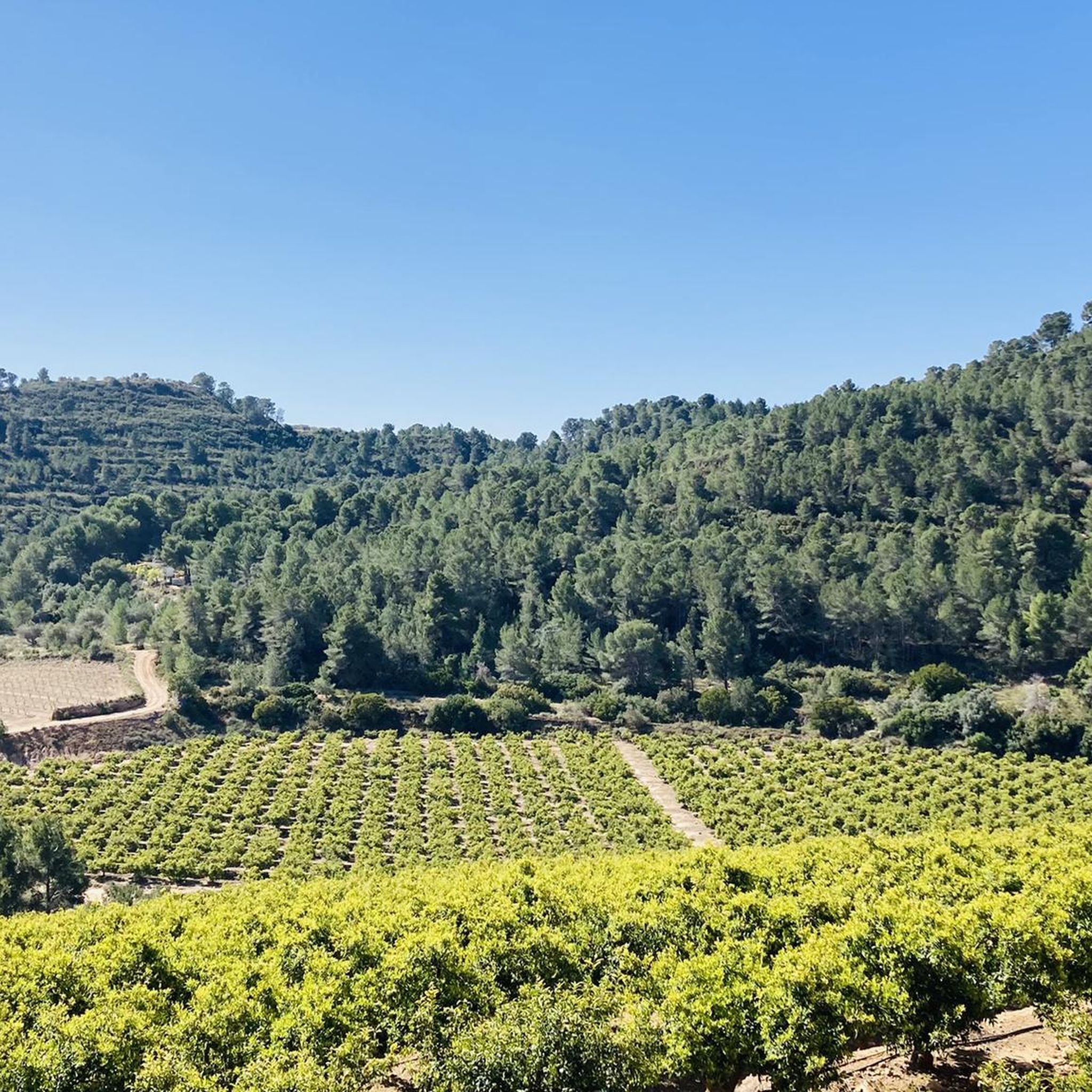
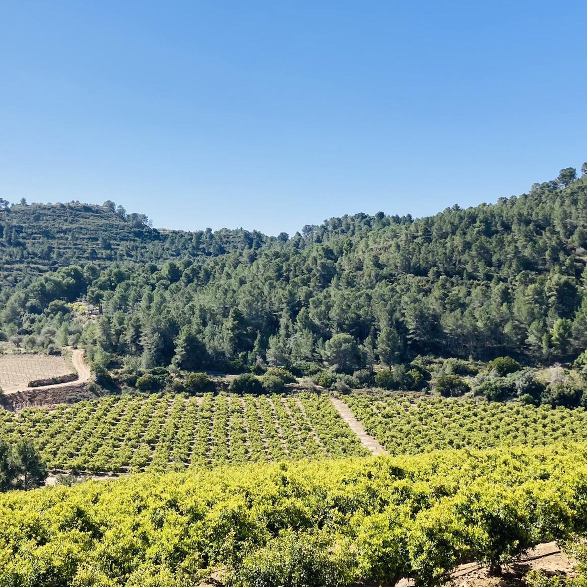
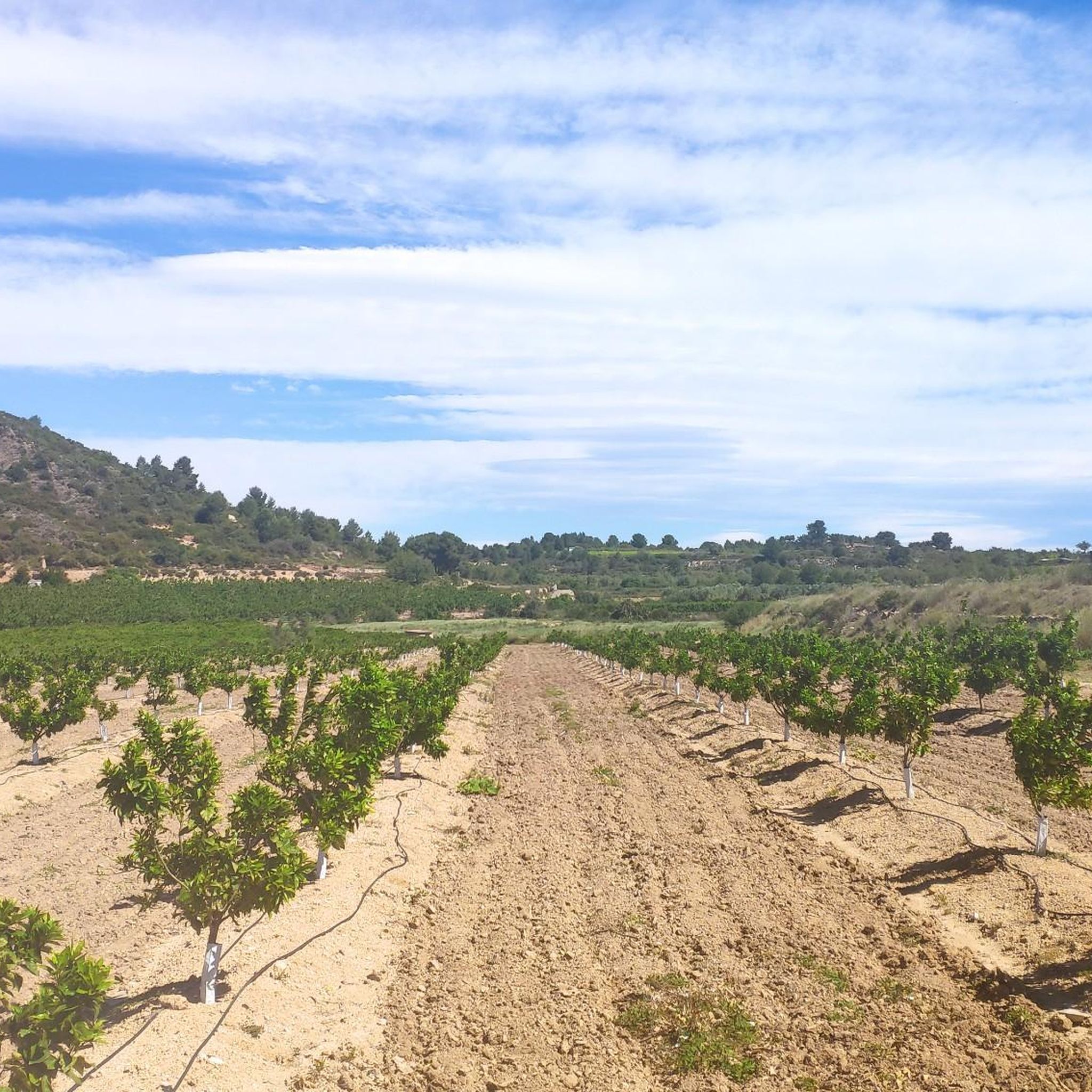
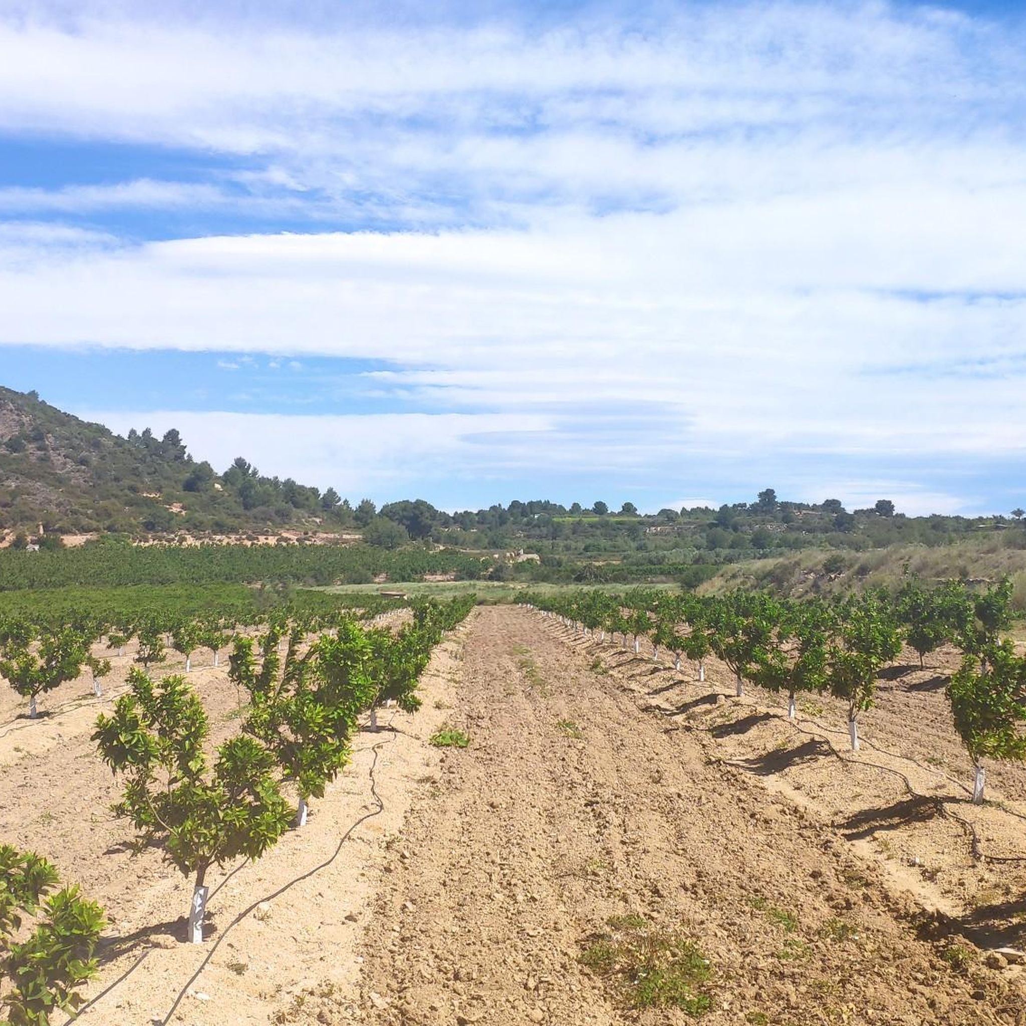
Hiking around Montroi / Montroy offers a diverse landscape characterized by undulating terrain, river valleys, and Mediterranean vegetation. The region, located in Valencia, Spain, features a mix of agricultural areas and natural spaces, providing varied scenery for outdoor activities. Trails often follow riverbeds, ascend gentle hills, and pass through areas with olive groves and pine forests.
Best hiking trails around Montroi / Montroy
- The most popular hiking route is Senda Putja de Potan loop from Riu Magre, a 5.5 miles (8.9 km) trail that takes 2 hours 31 minutes to complete. This moderate route follows the Riu Magre, offering riverside views and a climb of over 620 feet (190 meters).
- Another top favourite among local hikers is Torre de Montroi loop from Montroi, an easy 2.7 miles (4.4 km) path. This circular walk explores the area around the historic Torre de Montroi, providing scenic views of the surrounding countryside.
- Local hikers also love the Besori Viewpoint – Besori loop from Riu Magre, a 9.7 miles (15.6 km) trail leading through river valleys and up to a viewpoint, often completed in about 4 hours 52 minutes.
- Hiking around Montroi / Montroy is defined by river paths, gentle hills, and panoramic viewpoints, offering a blend of natural and cultural landscapes. The network provides options for various ability levels, from easy strolls to more challenging moderate hikes.
- The routes in Montroi / Montroy are highly rated by the komoot community with an average score of 4.6 stars from over 20 reviews. More than 100 hikers have used komoot to explore Montroi / Montroy's varied terrain.
Last updated: May 11, 2026
4.5
(2)
12
hikers
8.93km
02:31
190m
190m
Moderate hike. Good fitness required. Easily-accessible paths. Suitable for all skill levels.
5.0
(2)
5
hikers
4.38km
01:12
70m
70m
Easy hike. Great for any fitness level. Easily-accessible paths. Suitable for all skill levels.

Sign up for free
7
hikers
Moderate hike. Good fitness required. Mostly accessible paths. Sure-footedness required.
5.0
(1)
5
hikers
11.8km
03:13
190m
190m
Moderate hike. Good fitness required. Easily-accessible paths. Suitable for all skill levels.
5.0
(1)
4
hikers
4.39km
01:16
110m
120m
Easy hike. Great for any fitness level. Easily-accessible paths. Suitable for all skill levels.
Get access to more routes and recommendations from other explorers.
Sign up for free
Already have an account?
Our route recommendations are based on thousands of hikes, rides, and runs completed by other people on komoot.
Start today with a free account
Your next adventure awaits.
Login or Signup

Tips from the Community

If you decide to explore this route, you will be surrounded by nature and breathtaking views. Enjoy your hike! 🏞️🚶♂️🥾🚵🌞
3
0
Alto del Besori is a mountain located in the Ribera Alta region of the Valencian Community. It is part of the Paraje Natural Municipal del Tello and is known for its impressive panoramic views. The route to Alto del Besori is popular with hikers and offers a varied landscape that includes ravines and pine forests. The route is moderate in difficulty and is suitable for most hikers with some experience.
6
0

a magical place with countless routes on foot and by mountain bike.
1
0

I recommend not doing it in the heat and wearing a hat or cap. The first 3 km is a very cobbled section, so it is better to wear good shoes. The last section runs through a ravine where, at the end, there are so many brambles that it forces you to go back and go through some orange fields that will be private property.
2
0

The Clot de les Tortugues is part of the natural municipal area of Ninyerola, in Picassent. There is a good pine forest and it is a good place to include in the cycling routes that pass through the El Tello Nature Reserve.
3
0

A panoramic point from where you will undoubtedly have the best views of the entire Albufera Natural Park, Valencia and the Levante coast in the Cullera and Tavernes area. Tranquility also reigns so take a few minutes to enjoy this beautiful place.
3
0
Beautiful views from the top at about 360 meters above sea level. It is reached by taking the detour from the main track and going up a track in good condition with concreted sections. It deserves to visit it!
2
0

Frequently Asked Questions
How many hiking trails are there in Montroi / Montroy?
Montroi / Montroy offers a selection of over 30 hiking trails. These routes cater to various skill levels, with a good mix of easy and moderate options to explore the region's diverse landscapes.
Are there easy hiking options suitable for families in Montroi / Montroy?
Yes, Montroi / Montroy has 11 easy hiking routes, many of which are suitable for families. For instance, the Torre de Montroi loop from Montroi is an easy 2.7-mile (4.4 km) circular path that explores the area around the historic tower, offering scenic views without significant elevation gain.
What kind of scenery can I expect on hikes around Montroi / Montroy?
The region features a diverse landscape with undulating terrain, river valleys, and Mediterranean vegetation. You'll often find trails following riverbeds, ascending gentle hills, and passing through areas with olive groves and pine forests, offering a blend of natural and cultural scenery.
Are there any circular walks available in Montroi / Montroy?
Yes, many of the trails in Montroi / Montroy are circular, allowing you to start and end at the same point. A popular option is the Senda Putja de Potan loop from Riu Magre, a moderate 5.5-mile (8.9 km) route that offers riverside views and a climb of over 620 feet (190 meters).
What are some interesting natural attractions or landmarks to see while hiking?
While hiking, you can discover several natural attractions. Consider visiting the L'Estepar Viewpoint for panoramic vistas or the Barranc de Galleç Waterfall. The region also features the Pico de los Cerros and the Font de Teula.
What do other hikers enjoy most about hiking in Montroi / Montroy?
The hiking trails in Montroi / Montroy are highly rated by the komoot community, with an average score of 4.6 stars from over 20 reviews. Hikers often praise the varied terrain, the scenic river paths, and the panoramic viewpoints that offer a blend of natural beauty and cultural landscapes.
Are there any longer, more challenging hikes for experienced hikers?
While Montroi / Montroy primarily offers easy to moderate trails, some routes provide a longer experience. The Besori Viewpoint – Besori loop from Riu Magre is a 9.7-mile (15.6 km) trail that leads through river valleys and up to a viewpoint, typically taking about 4 hours 52 minutes to complete.
Is public transport available to reach the trailheads in Montroi / Montroy?
Public transport options to specific trailheads within Montroi / Montroy can be limited. It's generally recommended to check local bus schedules for connections to the main town, and then plan your hike from there or consider driving to the starting points.
Are dogs allowed on the hiking trails in Montroi / Montroy?
Generally, dogs are welcome on hiking trails in the Montroi / Montroy area, but it's always best to keep them on a leash, especially in areas with wildlife or near agricultural land. Please ensure you clean up after your pet to maintain the natural environment for everyone.
What is the best time of year to go hiking in Montroi / Montroy?
The best time to hike in Montroi / Montroy is typically during the spring (March to May) and autumn (September to November) when temperatures are milder and the vegetation is lush. Summers can be very hot, so if hiking then, it's advisable to start early in the morning and carry plenty of water.
Are there any hikes that feature views of the wider region or the coast?
Yes, some viewpoints in the area offer expansive views. For example, the View of the Gulf of Valencia from Alt de València provides a stunning panorama that includes the coastline, making for a rewarding stop on your hike.
Are there any trails that pass through unique natural areas or offer a sense of solitude?
For a sense of solitude and immersion in nature, consider routes that venture into the pine forests and less frequented river valleys. The Clot de les Tortugues loop from Colònia Bon Vent is a moderate 7.3-mile (11.8 km) trail that takes you through varied terrain, offering a peaceful experience away from more crowded spots.
Most popular routes around Montroi / Montroy
Most popular attractions around Montroi / Montroy

Get inspired with the komoot mobile app


Explore more
Browse the best Hikes in other regions.
