The best road cycling routes around Villa Del Prado
4.3
(14)
2,154
riders
98
rides
Road cycling routes around Villa Del Prado offer diverse landscapes, ranging from flat to rolling terrain with manageable hills. The region is characterized by the Sierra Oeste and Guadarrama Mountains, providing scenic backdrops and varied elevations. Cyclists can explore paths through pine forests and along the Alberche River, which is dammed by the Picadas dam, creating reservoir views. This area provides a mix of challenging routes and more gentle sections, suitable for different road cycling preferences.
Best road cycling routes…
Last updated: August 3, 2026
32
riders
65.4km
03:11
920m
920m
This 40.6-mile (65.4 km) difficult road cycling route through Villa del Prado, Pelayos de la Presa, and Aldea del Fresno offers scenic views
5.0
(1)
21
riders
85.1km
04:19
1,010m
1,010m
Hard road ride. Very good fitness required. Some segments of this route may be unpaved and difficult to ride.

Sign up for free
30
riders
Hard road ride. Very good fitness required. Mostly well-paved surfaces and easy to ride.
45
riders
71.2km
03:51
1,390m
1,390m
Hard road ride. Very good fitness required. Mostly well-paved surfaces and easy to ride.
18
riders
114km
05:54
1,970m
1,970m
Hard road ride. Very good fitness required. Mostly well-paved surfaces and easy to ride.
Get access to more routes and recommendations from other explorers.
Sign up for free
Already have an account?
Our route recommendations are based on thousands of hikes, rides, and runs completed by other people on komoot.
Start today with a free account
Your next adventure awaits.
Login or Signup
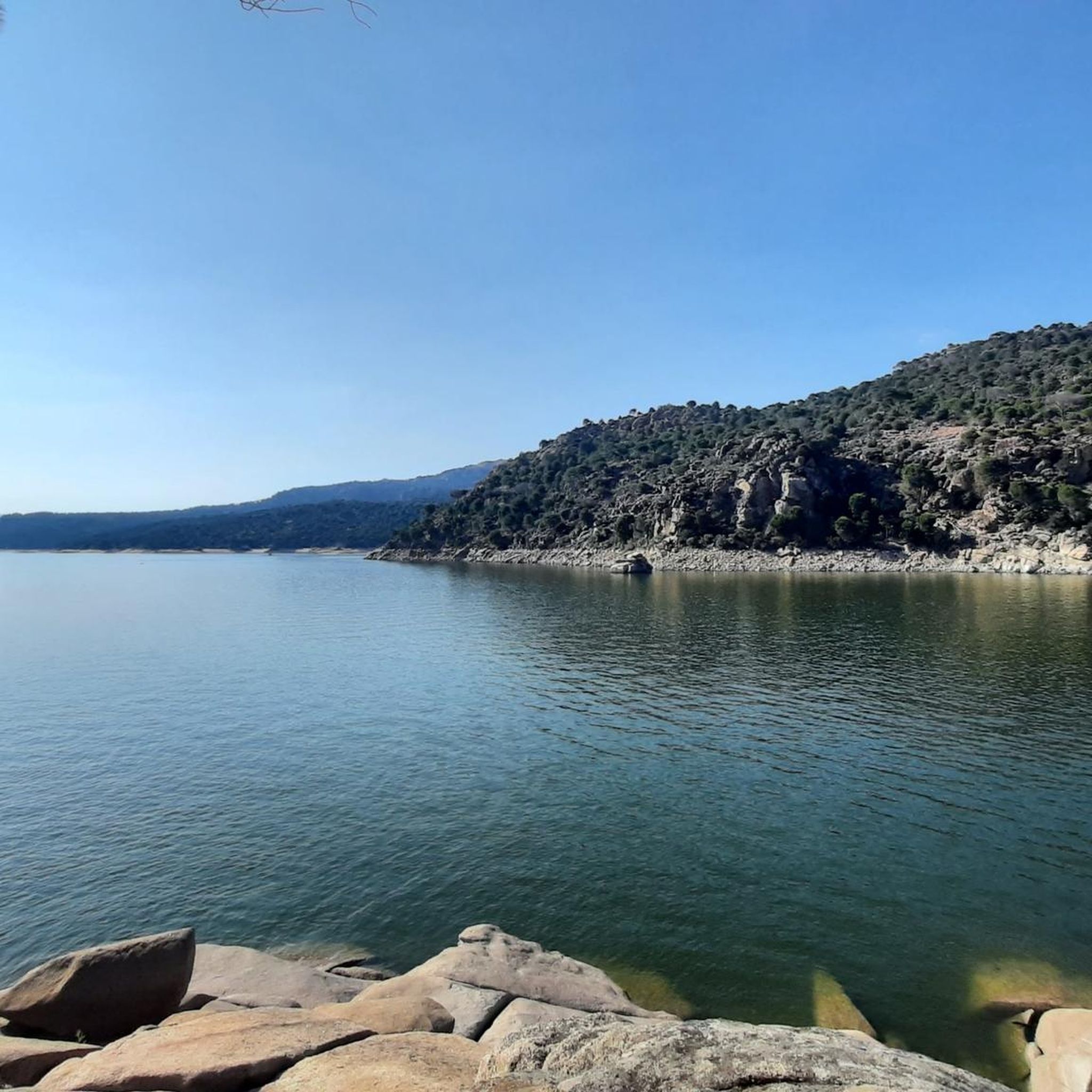
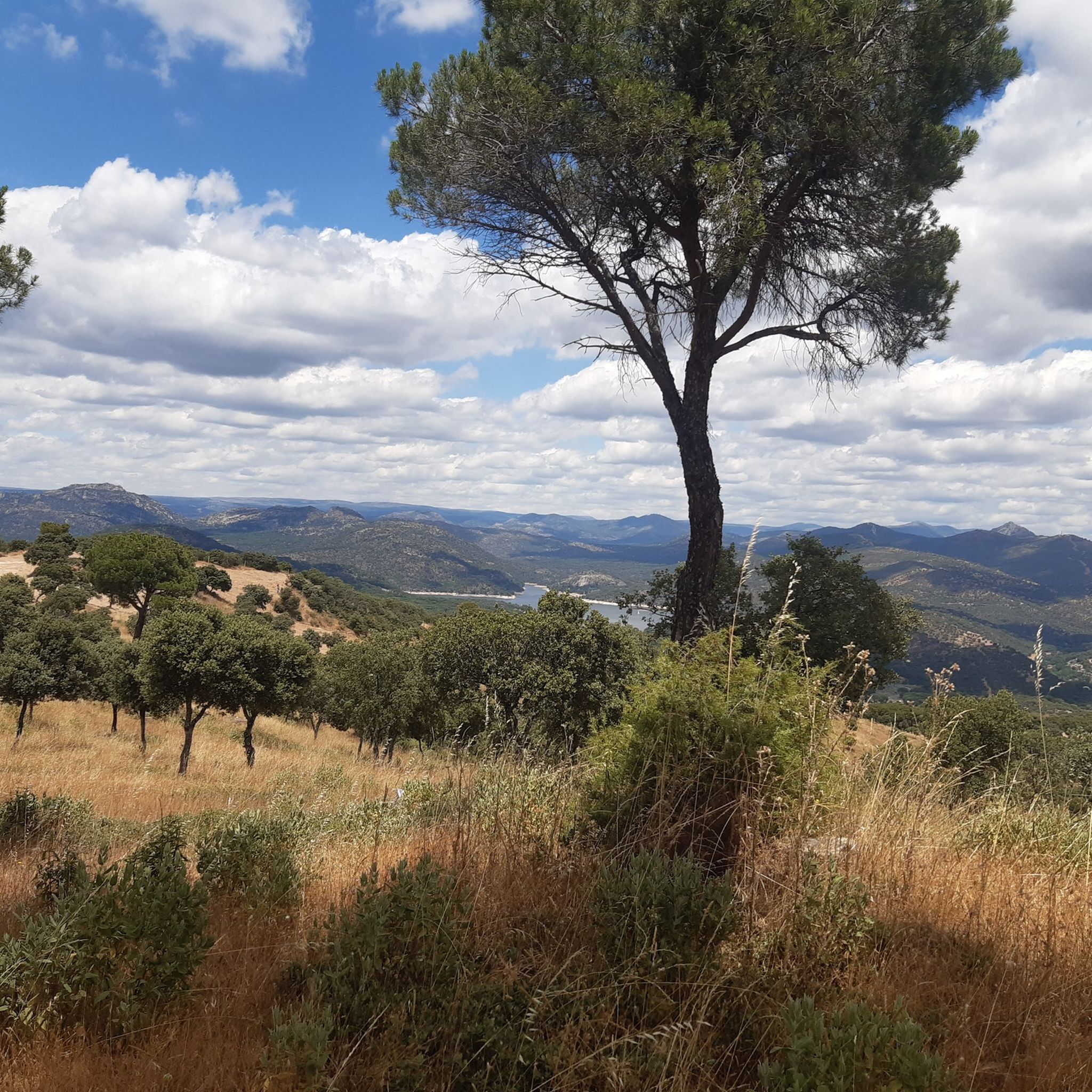
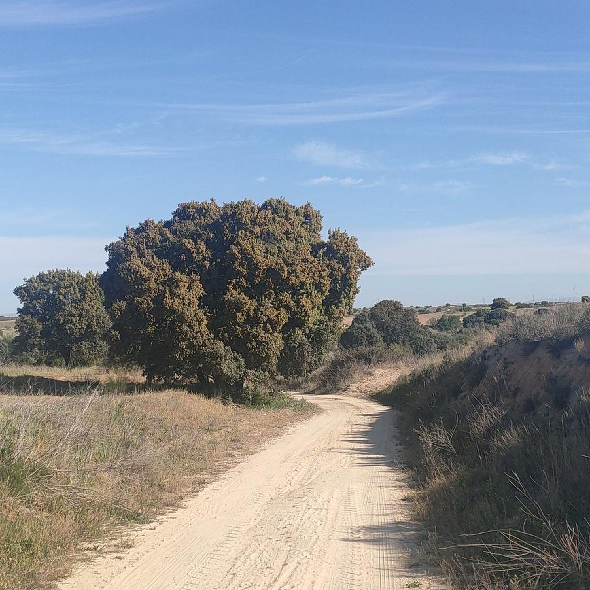
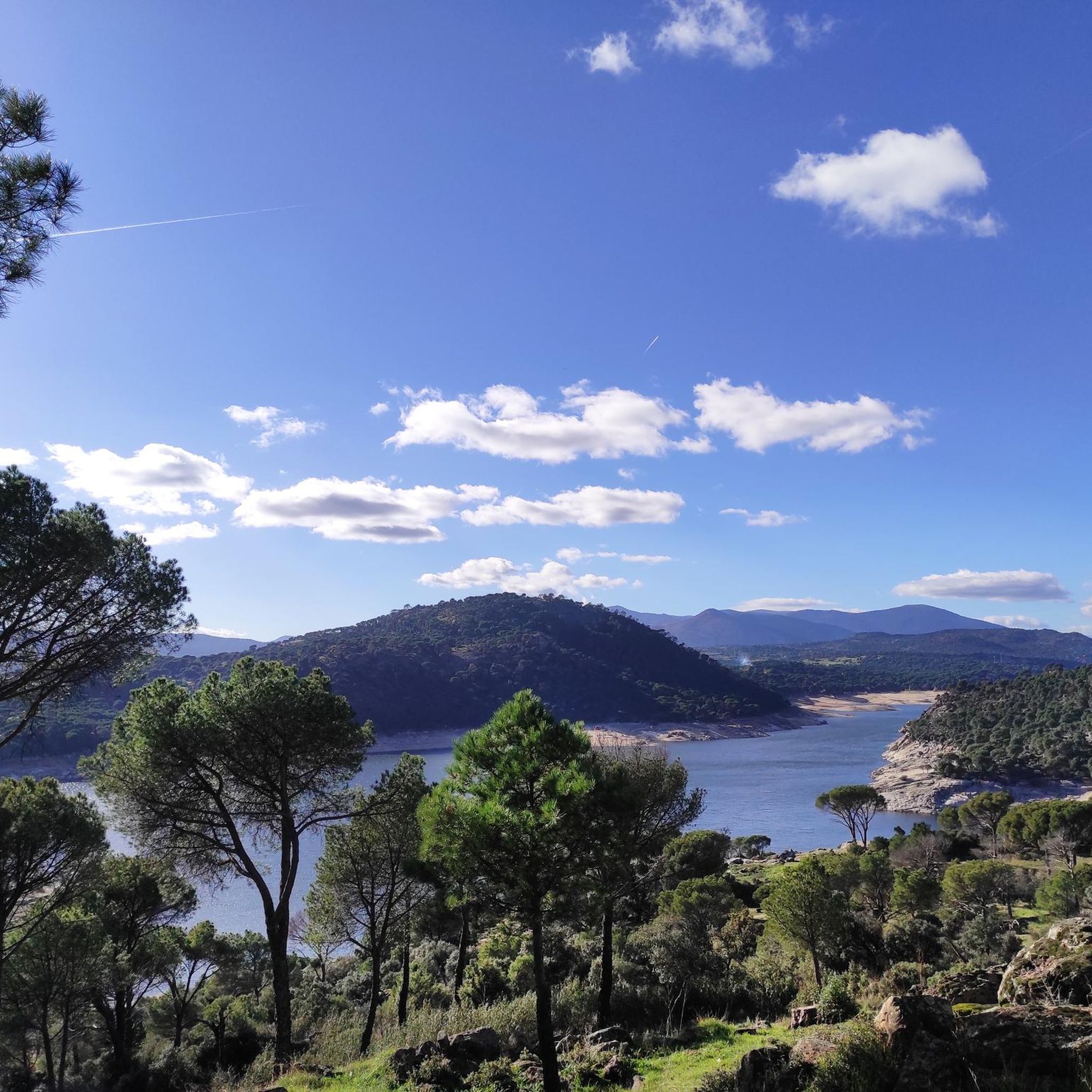

Tips from the Community

Los Toros de Guisando are a set of zoomorphic sculptures of Vettonian origin, carved in granite between the 4th and 2nd centuries BC. They probably represent bulls or verracos and were linked to rituals for the protection of livestock and the delimitation of territory.
0
0
An impressive monastic complex of medieval origin, founded in the 12th century and surrounded by a privileged natural environment. Its stone walls and well-preserved ruins evoke centuries of history linked to the Cistercian order.
0
0


Impressive antenna installation. Beautiful road with little traffic.
0
0

The cycle trip continues along the lane of the Jacobean route until it connects with the Cebreros highway. The route continues along the side of the road, passing through the popular port of Arrebatacapas and another descent to Cebreros, a mountain town with a wine-growing tradition that would be a good place to finish the second stage when organized as a three-day trip. The Camino de Levante descends from the port along a mountain path that is quite technical and difficult by bicycle, suitable for trail experts and everyone can choose. The path begins next to the port sign and ends where the road enters the urban complex. The track goes down the road, crosses the town and continues the descent along the old Camino Real de Toledo, used by the funeral procession of Isabel la Católica when they carried her remains from Medina del Campo to Granada. At the Cebreros exit there are remains of the old medieval road and on the Alberche River there are the monumental bridges of Valsordo and Santa Yusta, used since Roman times, although they have undergone several reconstructions throughout history. The climb coincides with the last arrows of the Camino de Levante and deviates through the Puente Nuevo urbanization towards San Martín de Valdeiglesias, following the markings of the GR-10 long-distance path, with several hard ramps on the Camino de la Aliseda.
0
0

The place name Pelahustán seems to derive from the activity related to looms and the sale of linen that the population had in the past. In documents from the 18th century, it appears as Pelafustan. According to the dictionary of the Royal Spanish Academy, the concept of pelafustán is equated with that of pelagatos, which in turn means “insignificant or mediocre person, without social or economic position.” The town also had several water mills worked by Salamancan teleworkers. Pelahustán is located at an altitude of 673 meters above sea level and borders the terms of Higuera de las Dueñas in the province of Ávila, Nombela, Nuño Gómez, Garciotum and El Real de San Vicente in the province of Toledo, and Ceniientos in the Community of Madrid 😊
2
0
The arrangement of the sculptures is interesting: they are side by side, forming a line in a north-south direction and all of them facing west, to the hill of Cerro de Guisando, from which they receive their name. The Tórtolas stream, which is located behind it, marks the natural border between the communities of Castilla y León and Madrid.
13
0

It is a very beautiful route leaving from the campsite passing through green roads until you reach the castle
0
0
Frequently Asked Questions
How many road cycling routes are available around Villa Del Prado?
There are over 80 road cycling routes available around Villa Del Prado, offering a wide range of options for different skill levels and preferences.
What types of terrain can I expect on road cycling routes in Villa Del Prado?
Road cycling routes in Villa Del Prado feature diverse landscapes, from flat to rolling terrain with manageable hills. The region is characterized by the Sierra Oeste and Guadarrama Mountains, providing scenic backdrops and varied elevations. You'll find paths through pine forests and along the Alberche River, often with reservoir views.
Are there road cycling routes suitable for beginners or families in Villa Del Prado?
Yes, Villa Del Prado offers routes suitable for various skill levels. While many routes are challenging, there are 8 easy routes and 42 moderate routes. The Alberche Greenway, built on an old railway line, provides a delightful and generally favorable path through a canyon, which can be a good option for less experienced riders or families.
What are some notable natural attractions to see while road cycling in Villa Del Prado?
While road cycling, you can enjoy the natural beauty of the region, including the Alberche Greenway, the scenic Picadas Reservoir, and the San Juan Reservoir Marina. Many routes also pass through beautiful pine forests, particularly around Pelayos de la Presa.
Are there any historical landmarks or points of interest along the road cycling routes?
Yes, some routes offer glimpses of historical landmarks. For example, the Coracera Castle – Río Alberche loop features views of Coracera Castle. Another route, the Escalona Castle Palace – Main Square of Pelahustán loop, passes by the Escalona Castle Palace.
What do other road cyclists say about the routes in Villa Del Prado?
The road cycling routes in Villa Del Prado are highly rated by the komoot community, with an average score of 4.7 stars from over 10 reviews. More than 2000 road cyclists have used komoot to explore the varied terrain, often praising the scenic views and diverse challenges offered by the Sierra Oeste mountains and river landscapes.
Are there any long-distance road cycling routes in the area?
Yes, Villa Del Prado offers several long-distance road cycling routes. For instance, the Castle of la Coracera – Burguillo Reservoir loop from Pelayos de la Presa is a challenging 115.2 km (71.6 miles) trail, often completed in about 6 hours.
Can I find circular road cycling routes around Villa Del Prado?
Many of the road cycling routes in Villa Del Prado are designed as loops, allowing you to start and end in the same location. Examples include the Coracera Castle – Río Alberche loop and the Castle of la Coracera – Burguillo Reservoir loop.
What are the typical weather conditions for road cycling in Villa Del Prado?
Villa Del Prado, located in the Community of Madrid, generally experiences a Mediterranean climate with hot, dry summers and mild winters. Spring and autumn typically offer pleasant temperatures, making them ideal for road cycling. It's always advisable to check the local forecast before heading out.
Are there opportunities for other outdoor activities near the road cycling routes?
Absolutely. Beyond road cycling, the region offers a range of outdoor activities. The nearby San Juan Reservoir is excellent for watersports like kayaking and paddleboarding. The rugged terrain and natural parks also provide numerous hiking opportunities, and birdwatching is popular due to the rich biodiversity.
What is the difficulty level of most road cycling routes in Villa Del Prado?
The road cycling routes around Villa Del Prado cater to various skill levels. Out of 88 routes, 8 are easy, 42 are moderate, and 38 are difficult. This means there are plenty of challenging options for experienced riders, as well as more accessible routes for those seeking a less strenuous ride.
Most popular routes around Villa Del Prado
Most popular attractions around Villa Del Prado

Get inspired with the komoot mobile app


Explore more
Browse the best Road cycling routes in other regions.
