The best walks and hikes around Cúllar Vega
4.4
(1378)
10,763
hikers
411
hikes
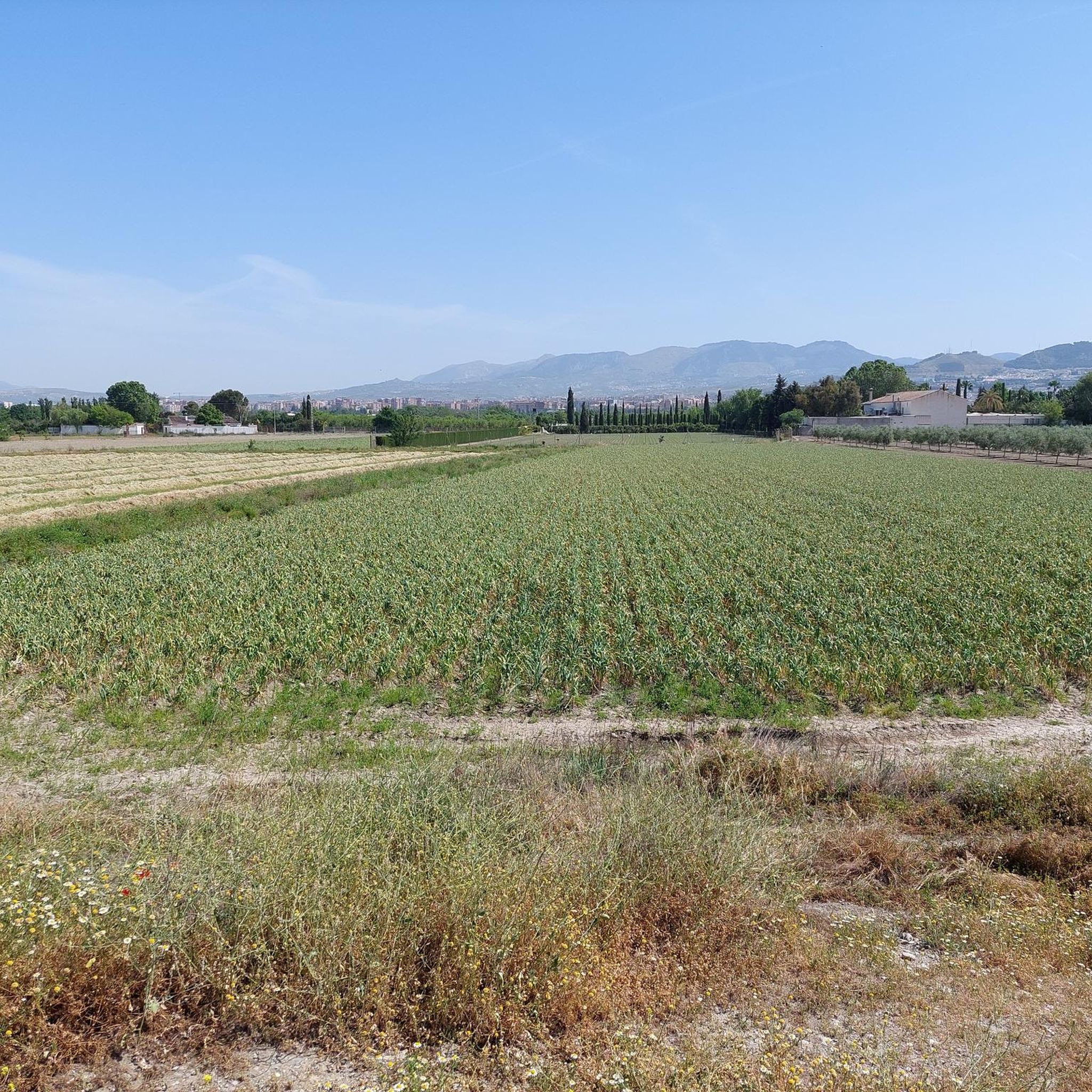
Hiking around Cúllar Vega offers access to the fertile Vega de Granada, characterized by black poplar trees, green fields, and orchards. The Genil River flows through this landscape, which sits at an elevation of 641 meters. The region provides a gateway to the diverse terrains of the nearby Sierra Nevada National Park and Sierra de Huétor Natural Park, featuring high peaks and varied botanical significance.
Best hiking trails around Cúllar Vega
- The most popular hiking route is Santa Fe Hot Springs Loop, an 8.9 miles (14.3 km) trail that takes 3 hours 44 minutes to complete. This moderate route explores the local hot springs area.
- Another top favourite among local hikers is Elephant Rock – Armilla Air Base loop from Armilla, a moderate 8.5 miles (13.6 km) path. This trail offers views of the surrounding plains and local landmarks.
- Local hikers also love the Roman Cryptoporticus loop from Cúllar Vega, a 2.7 miles (4.3 km) trail leading through the immediate surroundings of Cúllar Vega, often completed in about 1 hour 7 minutes.
- Hiking around Cúllar Vega is defined by fertile plains, poplar groves, and proximity to mountain ranges like the Sierra Nevada. The network offers options for different ability levels, from easy walks to more challenging mountain trails.
- The routes in Cúllar Vega are highly rated by the komoot community with an average score of 4.5 stars from over 1100 reviews. More than 8000 hikers have used komoot to explore Cúllar Vega's varied terrain.
Last updated: November 4, 2026
5.0
(1)
6
hikers
9.32km
02:33
140m
140m
Moderate hike. Good fitness required. Easily walkable paths.
4.7
(18)
135
hikers
9.72km
02:30
50m
50m
Moderate hike. Good fitness required. Easily walkable paths.

28
hikers
9.04km
02:20
50m
50m
Moderate hike. Good fitness required. Easily walkable paths.
5.0
(1)
12
hikers
7.46km
01:56
40m
40m
Easy hike. Easily walkable paths.
4.5
(4)
9
hikers
4.55km
01:12
40m
40m
Easy hike. Easily walkable paths.
Get access to more routes and recommendations from other explorers.
Already have an account?
Our route recommendations are based on thousands of hikes, rides, and runs completed by other people on komoot.
Start today with a free account
Your next adventure awaits.
Tips from the Community


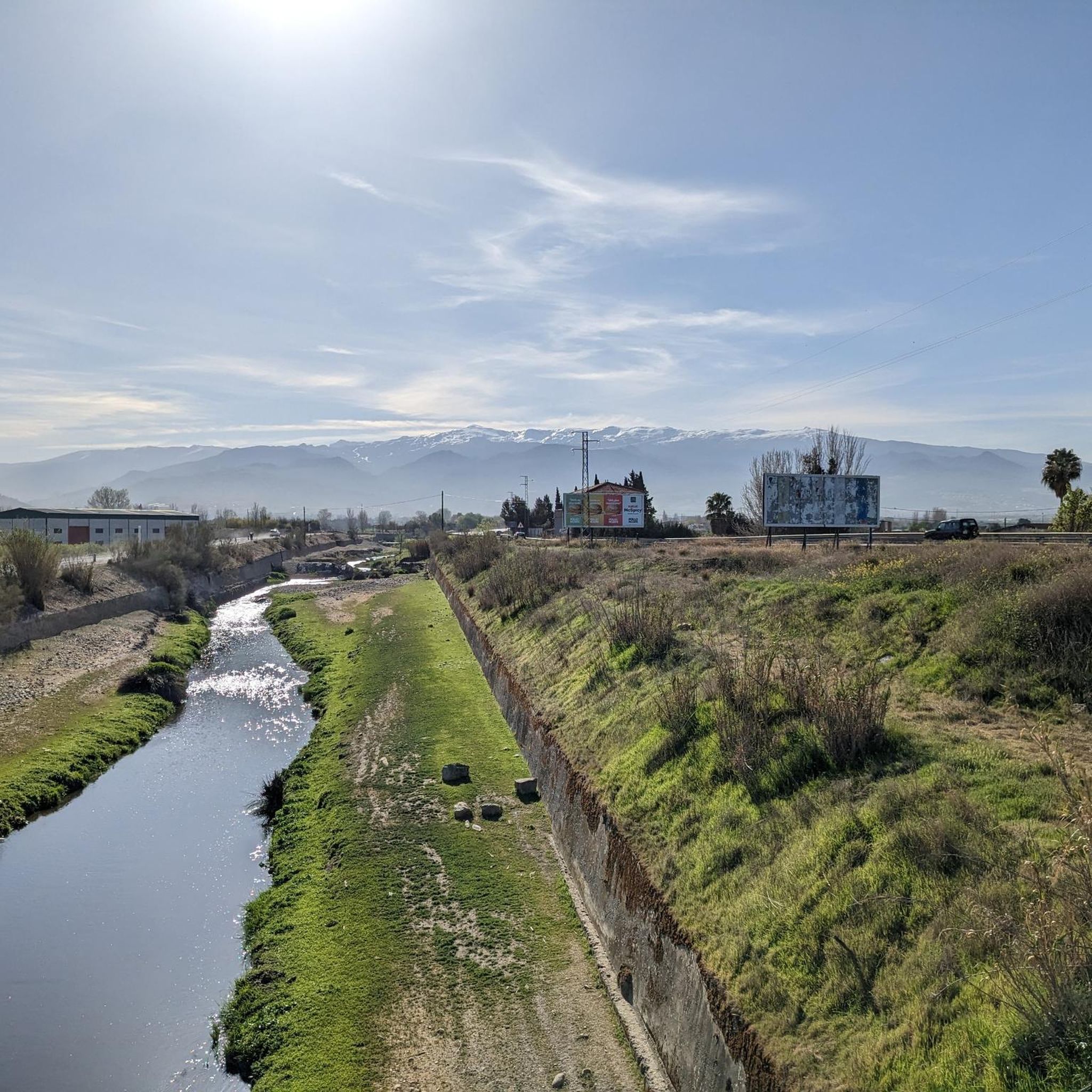
There are several points here: a water crossing point, a new bicycle bridge and a bicycle tunnel under the Rio Genil.
6
0

For those who normally only cycle over bridges, tunnels on cycle paths are a practical and welcome change. The cycle path along the Río Genil towards Purchil is a great way to enjoy nature while riding a relatively flat route. The Río Genil flows through the province of Granada and the region is known for its beautiful scenery and a variety of cycle paths suitable for both beginners and experienced cyclists.
3
0

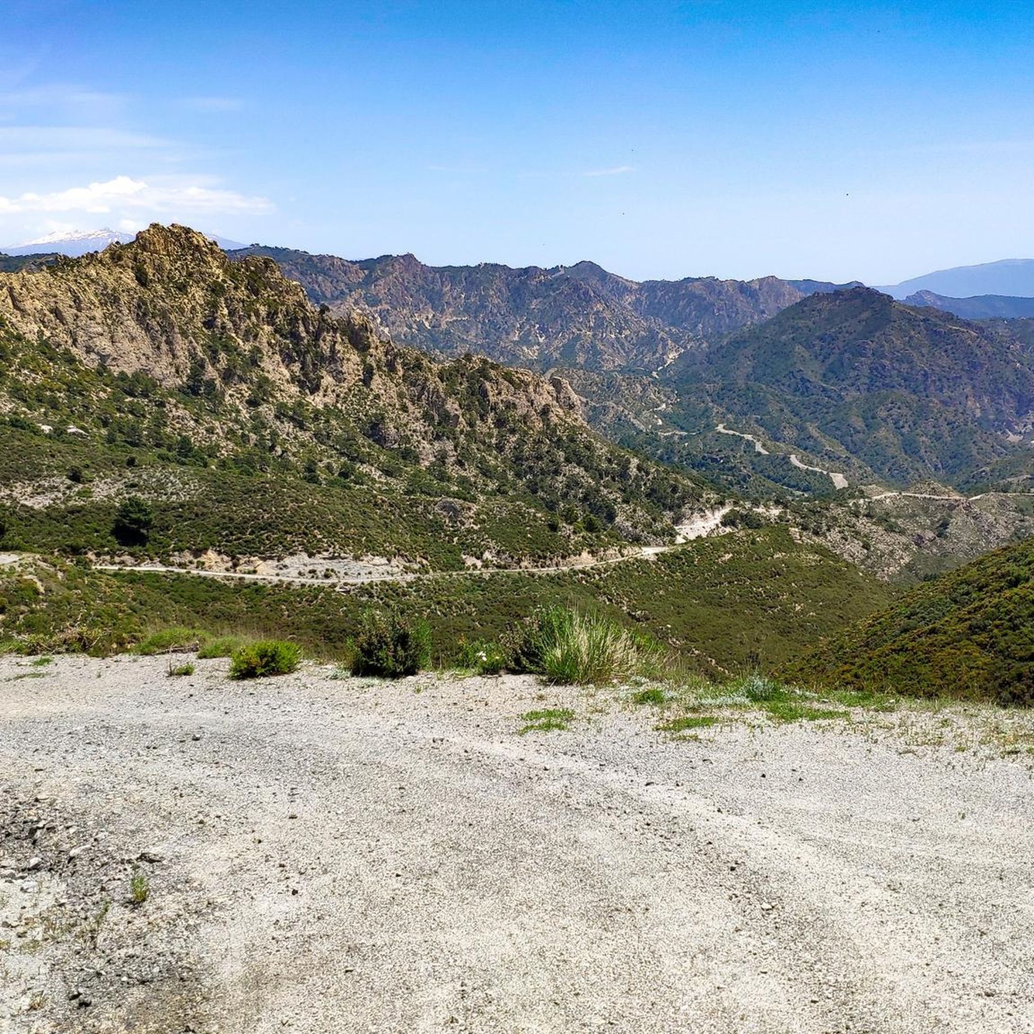
The elephant-shaped rock is an arch-window that frames the course of the Dilar River. To see it, you have to avoid the tree in front that hides it.
1
0
This is the meeting point of the Dilar River with the dry ravine. On the maps it appears as an elephant stone or mammoth because of a rock with that shape. The view is impressive, it is not a glacial cirque but it looks like one.
1
0
We were there, but unfortunately it is no longer accessible. It's all locked
0
0

The Termas de Santa Fe or Aguas Calientes, as the locals call them, is a space of freedom among olive groves, in the suburban park of Dehesa de Santa Fe. Here, there are some pools from which waters arise naturally, at more than 36 degrees centigrade. Given the temperature of the water at the point of emergence and its physical-chemical composition, they are considered hyperthermal, and classified as strongly mineralized, within the group of sulfated, calcium and magnesium.
12
0
Frequently Asked Questions
How many hiking trails are available in Cúllar Vega?
Cúllar Vega offers a wide variety of hiking opportunities, with over 350 routes available. These range from gentle strolls through the fertile Vega de Granada to more challenging paths in the nearby mountain complexes.
What kind of terrain can I expect on hikes around Cúllar Vega?
The terrain around Cúllar Vega is quite diverse. You'll primarily find flat, fertile plains within the Vega de Granada, characterized by extensive agricultural land and distinctive black poplar forests. As you venture further, you can access the more varied landscapes of the nearby Sierras de Orce-Cúllar and Sierras Sur de Cúllar, which offer mountainous terrain and opportunities for birdwatching.
Are there easy hiking options suitable for beginners or casual walkers?
Yes, Cúllar Vega is well-suited for beginners and casual walkers, with over 150 easy routes. A great option is the Roman Cryptoporticus loop from Cúllar Vega, an easy 2.7-mile (4.3 km) trail that takes just over an hour to complete, exploring the immediate surroundings of the town.
Can I find circular hiking routes in Cúllar Vega?
Many of the trails around Cúllar Vega are designed as circular routes, allowing you to start and end in the same location. For example, the Santa Fe Hot Springs Loop is a popular moderate circular trail that explores the local hot springs area.
Are there any family-friendly hiking trails in the area?
Absolutely. The municipality of Cúllar Vega actively promotes family hiking, with programs like "Senderismo Familiar." The flat, shaded poplar forests and paths through the Vega de Granada are ideal for families. Easy routes like the Roman Cryptoporticus loop from Cúllar Vega are excellent choices for all ages.
Are dogs allowed on the hiking trails around Cúllar Vega?
Generally, dogs are welcome on most hiking trails around Cúllar Vega, especially in the open plains and rural paths. However, it's always advisable to keep them on a leash, particularly in agricultural areas or near livestock, and to clean up after them. Specific rules might apply in protected natural areas, so check local signage.
What natural features or landmarks can I see while hiking near Cúllar Vega?
While hiking, you'll encounter the distinctive black poplar forests and the lush agricultural landscapes of the Vega de Granada. For specific points of interest, you can visit the Santa Fe Hot Springs. Further afield, you can explore the beautiful Lower Gardens of the Generalife or the historic Alhambra in nearby Granada.
What is the best time of year to go hiking in Cúllar Vega?
The best time to hike in Cúllar Vega is typically during the spring (March to May) and autumn (September to November) when temperatures are mild and the landscape is vibrant. The local "Senderismo Familiar" programs run from October to June, indicating pleasant conditions during these months. Summer can be very hot, making early morning or late afternoon hikes preferable, while winter offers cooler, crisp air.
Are there any moderate or challenging hikes for more experienced hikers?
Yes, Cúllar Vega offers over 180 moderate routes and 20 difficult routes. For a moderate challenge, consider the Elephant Rock – Armilla Air Base loop from Armilla, an 8.5-mile (13.6 km) path offering views of the surrounding plains. For more challenging mountain trails, the proximity to Sierra Nevada National Park provides extensive options, including routes with views of Mulhacén and Veleta.
What do other hikers enjoy the most about hiking in Cúllar Vega?
The area is highly rated by the komoot community, with an average score of 4.5 stars from over 1100 reviews. Hikers often praise the peaceful atmosphere of the Vega de Granada, the distinctive poplar forests, and the accessibility of trails for various skill levels. The proximity to both fertile plains and impressive mountain ranges like the Sierra Nevada is also a frequently highlighted advantage.
Is there public transport available to reach hiking trailheads from Cúllar Vega?
Cúllar Vega is well-connected within the Vega de Granada. While specific public transport details to individual trailheads might vary, local bus services connect Cúllar Vega with Granada and surrounding towns, making it possible to access various starting points. It's recommended to check local bus schedules for the most up-to-date information on routes and timings.
Are there opportunities for birdwatching or wildlife spotting?
Yes, the diverse landscapes around Cúllar Vega, particularly the poplar forests and the nearby mountain complexes of Environmental Interest (Sierras de Orce-Cúllar and Sierras Sur de Cúllar), provide excellent opportunities for birdwatching. These areas are known for a variety of bird species. Keep an eye out for local wildlife, especially in the quieter, more natural sections of the trails.
Most popular routes around Cúllar Vega
Most popular attractions around Cúllar Vega

Get inspired with the komoot mobile app


Explore more
Browse the best Hikes in other regions.
