The best mountain hikes around Santiago Del Tormes
5.0
(1)
85
hikers
6
hikes
Mountaineering routes around Santiago Del Tormes are situated within the Sierra de Gredos, offering access to its central massif. The landscape features rocky peaks, hidden paths, ravines, and high-altitude lagoons, providing diverse terrain for mountaineers. The municipality also encompasses parts of the upper Tormes River Valley, characterized by riverside vegetation, meadows, and pine and oak forests. This varied topography makes the region suitable for a range of mountaineering experiences.
Best mountaineering routes around Santiago Del Tormes
- The most popular mountaineering…
Last updated: May 14, 2026
41
hikers
18.1km
08:41
1,200m
1,200m
Hard mountaineering route. Very good fitness required. Sure-footedness, sturdy shoes and alpine experience required.
5.0
(1)
11
hikers
13.0km
05:31
620m
620m
Hard mountaineering route. Very good fitness required. Sure-footedness, sturdy shoes and alpine experience required.

Sign up for free
13
hikers
9.84km
04:26
590m
590m
Hard mountaineering route. Good fitness required. Sure-footedness, sturdy shoes and alpine experience required.
11
hikers
4.31km
03:06
570m
570m
Hard mountaineering route. Good fitness required. Sure-footedness, sturdy shoes and alpine experience required.
4
hikers
9.67km
03:52
430m
430m
Moderate mountaineering route. Good fitness required. Mostly accessible paths. Sure-footedness required.
Our route recommendations are based on thousands of hikes, rides, and runs completed by other people on komoot.
Start today with a free account
Your next adventure awaits.
Login or Signup

Tips from the Community

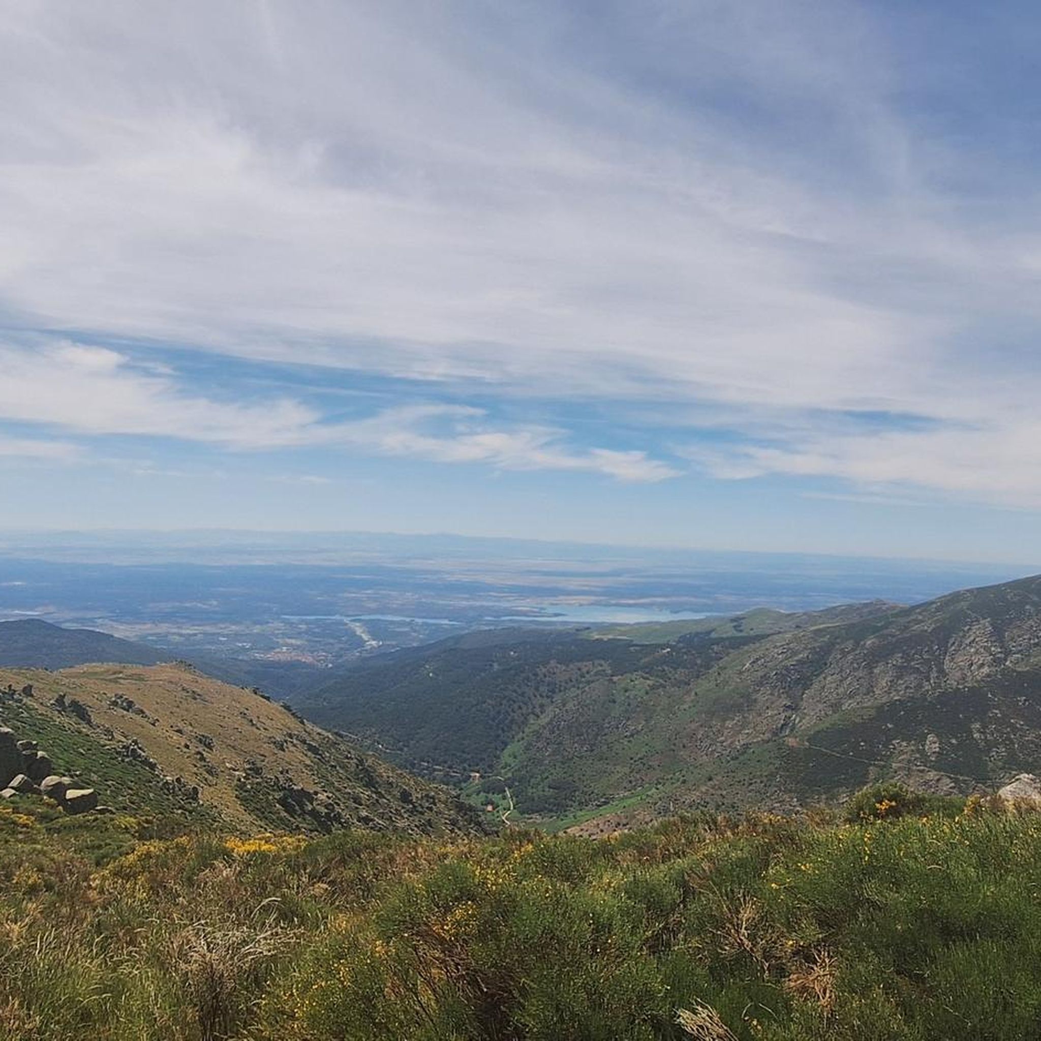
El Mirador del Risco de los Barrerones is for many the most iconic panoramic viewpoint in the Circo Glacial de Gredos.
1
0
The Spanish ibex is the emblematic animal of the Sierra de Gredos. It was on the verge of extinction.
1
0
It is the trail that leads to the Refugio de la Laguna Grande. Easy to follow.
1
0
The Refugio de la laguna Grande or Refugio Elola is situated in a strategic area, from here hikers have access to the highest peaks of Gredos such as Almanzor or La Galana.
1
0
Good views of the Circo de Gredos.
1
0

Beware of bad weather; get good information before the ascent because from October to May it can be really problematic, especially in winter.
1
0

Note: behind this mountain goat there is a huge abyss, you can't see the photo and apparently not the goat either 😀
16
0
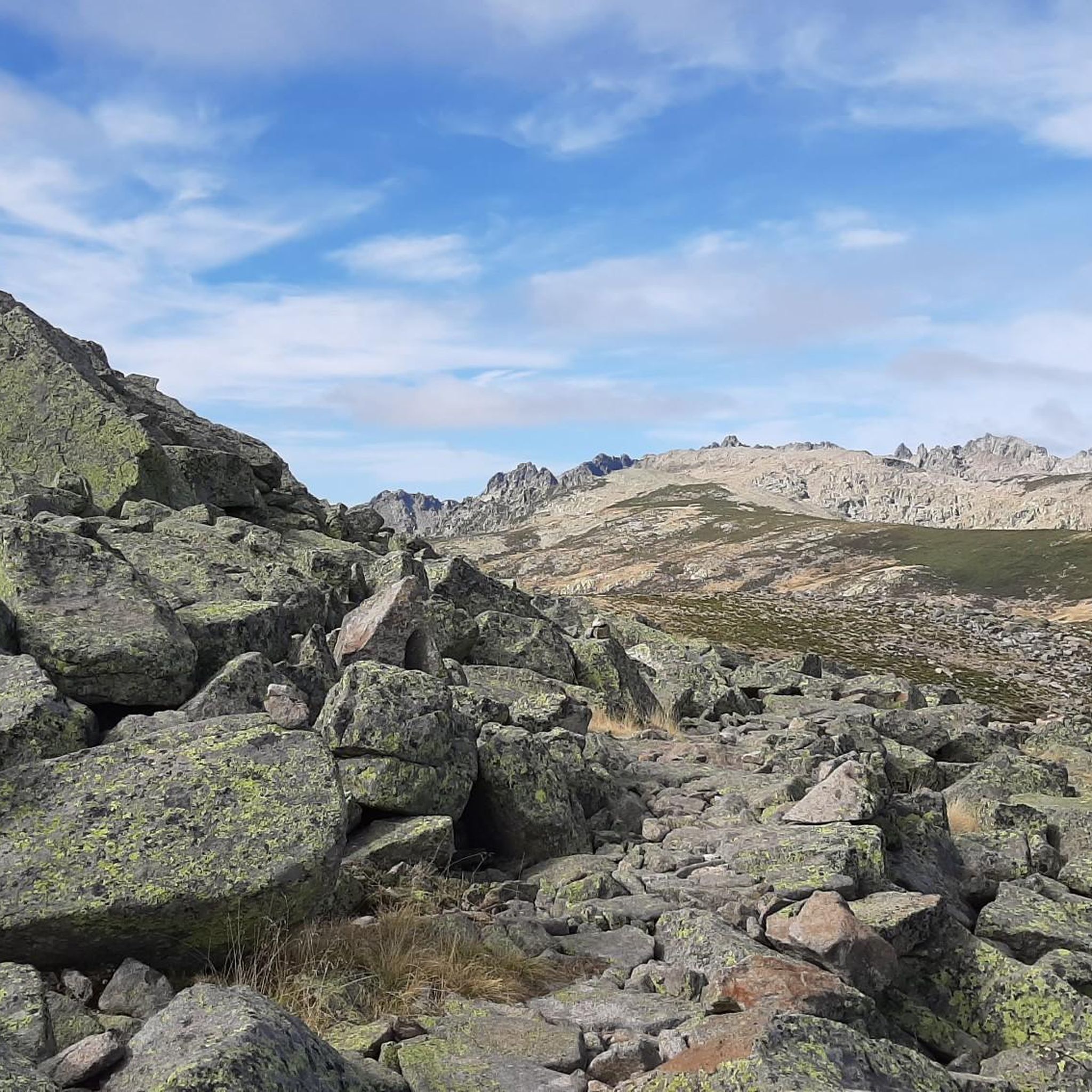
Circo de Gredos, a cirque formed by a glacier, covers approximately 33 hectares. The barren, rocky, high-mountain landscape of this cirque is spectacular and one of the absolute highlights of the Central System. To the north, at the foot of the Almanzor, lies the Laguna Grande lake.
16
1
Frequently Asked Questions
What kind of mountaineering experiences can I expect around Santiago Del Tormes?
Santiago Del Tormes, nestled in the Sierra de Gredos, offers a diverse range of mountaineering experiences. You'll find challenging routes leading to rocky peaks and high-altitude lagoons, as well as more moderate mountain walks through varied terrain, including riverside vegetation, meadows, and pine and oak forests in the upper Tormes River Valley.
Are there any easier mountaineering routes for beginners or those seeking a less strenuous climb?
While many routes in the area are considered difficult, there is at least one moderate option available. For example, the Puerto de Candeleda – Gredos Platform loop from La Plataforma is a moderate 9.7 km trail that takes about 3 hours 52 minutes, offering impressive views through mountain passes without the extreme challenge of some other ascents.
Can I find circular mountaineering routes in this region?
Yes, several mountaineering routes around Santiago Del Tormes are designed as loops, allowing you to start and finish at the same point. A notable example is the View of Circo de Gredos – Gredos Platform loop from La Plataforma, which is a challenging 18.3 km route offering panoramic views of the iconic Circo de Gredos.
What are some of the natural landmarks or viewpoints I can encounter on these routes?
The region is rich in natural landmarks. You can experience the stunning views of the Cirque of the Five Lagoons, which are consecutive and connected by a stream. Many routes also offer panoramic vistas of the Sierra de Gredos itself. The Puerto de Candeleda is another significant mountain pass known for its impressive views of the Gredos hillside and the Tiétar Valley.
Are there opportunities to see wildlife while mountaineering?
Yes, the Sierra de Gredos is known for its diverse fauna. One route, the Gredos ibex – Gredos Platform loop from La Plataforma, is particularly known for its potential to spot wild ibex in their natural habitat as it traverses rugged terrain.
What are the highest peaks accessible from Santiago Del Tormes?
The region provides access to some of the highest peaks in the Sierra de Gredos. You can find routes that lead to summits like Morezón Peak, and the iconic Pico Almanzor, which is the highest point in the range. Another significant peak is La Galana Peak.
Is there parking available at the trailheads for mountaineering routes?
Many popular mountaineering routes in the Sierra de Gredos, especially those starting from 'La Plataforma' (like several mentioned in this guide), typically have designated parking areas. It's advisable to arrive early during peak seasons to secure a spot, as these areas can fill up quickly.
What is the best time of year for mountaineering in Santiago Del Tormes?
The best time for mountaineering in the Sierra de Gredos generally spans from late spring through early autumn (May to October), when the weather is more stable and the high mountain passes are clear of snow. However, conditions can vary, and it's always recommended to check local weather forecasts before heading out, especially for higher altitudes.
Are there any refuges or huts along the mountaineering trails?
Yes, for those undertaking longer or multi-day expeditions, there are refuges available. Notable examples include the Elola Refuge – Laguna Grande de Gredos and the Laguna Grande Refuge, which can serve as base camps or overnight stops for exploring the high mountain areas.
What do other mountaineers say about the routes in Santiago Del Tormes?
The mountaineering routes around Santiago Del Tormes are highly regarded by the komoot community, with an average rating of 5.0 stars. Users often praise the challenging terrain, the stunning panoramic views of the Sierra de Gredos, and the opportunities to experience the rugged beauty of the central massif.
Can I combine mountaineering with other activities in the area?
Absolutely. Beyond mountaineering, the broader Tormes Valley and Gredos area offer a range of active tourism options. You can find opportunities for horseback riding, paragliding (particularly at Peña Negra), and exploring cultural sites in nearby towns like El Barco de Ávila, which features historical architecture such as the Valdecorneja Castle.
Most popular routes around Santiago Del Tormes
Most popular attractions around Santiago Del Tormes

Get inspired with the komoot mobile app


Explore more
Browse the best Mountain Hikes & Routes in other regions.
