The best road cycling routes around Guils De Cerdanya
4.3
(72)
7,653
riders
107
rides
Road cycling routes around Guils De Cerdanya navigate the high-altitude landscapes of the Pyrenees, characterized by significant mountain passes and expansive valleys. The region features challenging ascents and descents, with routes often crossing into neighboring areas and offering panoramic views. Terrain primarily consists of paved mountain roads, suitable for road bikes.
Best road cycling routes around Guils De Cerdanya
- The most popular road cycling route is Collado de Toses & Creueta & Maranges - Circular Tour via la Molina,…
Last updated: May 20, 2026
68
riders
95.5km
06:05
1,790m
1,790m
Hard road ride. Very good fitness required. Mostly well-paved surfaces and easy to ride.
4.6
(7)
957
riders
70.7km
03:39
1,220m
1,220m
Hard road ride. Very good fitness required. Some segments of this route may be unpaved and difficult to ride.

Sign up for free
4.7
(3)
596
riders
Hard road ride. Very good fitness required. Mostly well-paved surfaces and easy to ride.
4.1
(11)
380
riders
42.8km
02:14
730m
730m
Moderate road ride. Good fitness required. Mostly well-paved surfaces and easy to ride.
4.6
(17)
871
riders
57.2km
02:52
910m
910m
Hard road ride. Very good fitness required. Mostly well-paved surfaces and easy to ride.
Get access to more routes and recommendations from other explorers.
Sign up for free
Already have an account?
Our route recommendations are based on thousands of hikes, rides, and runs completed by other people on komoot.
Start today with a free account
Your next adventure awaits.
Login or Signup
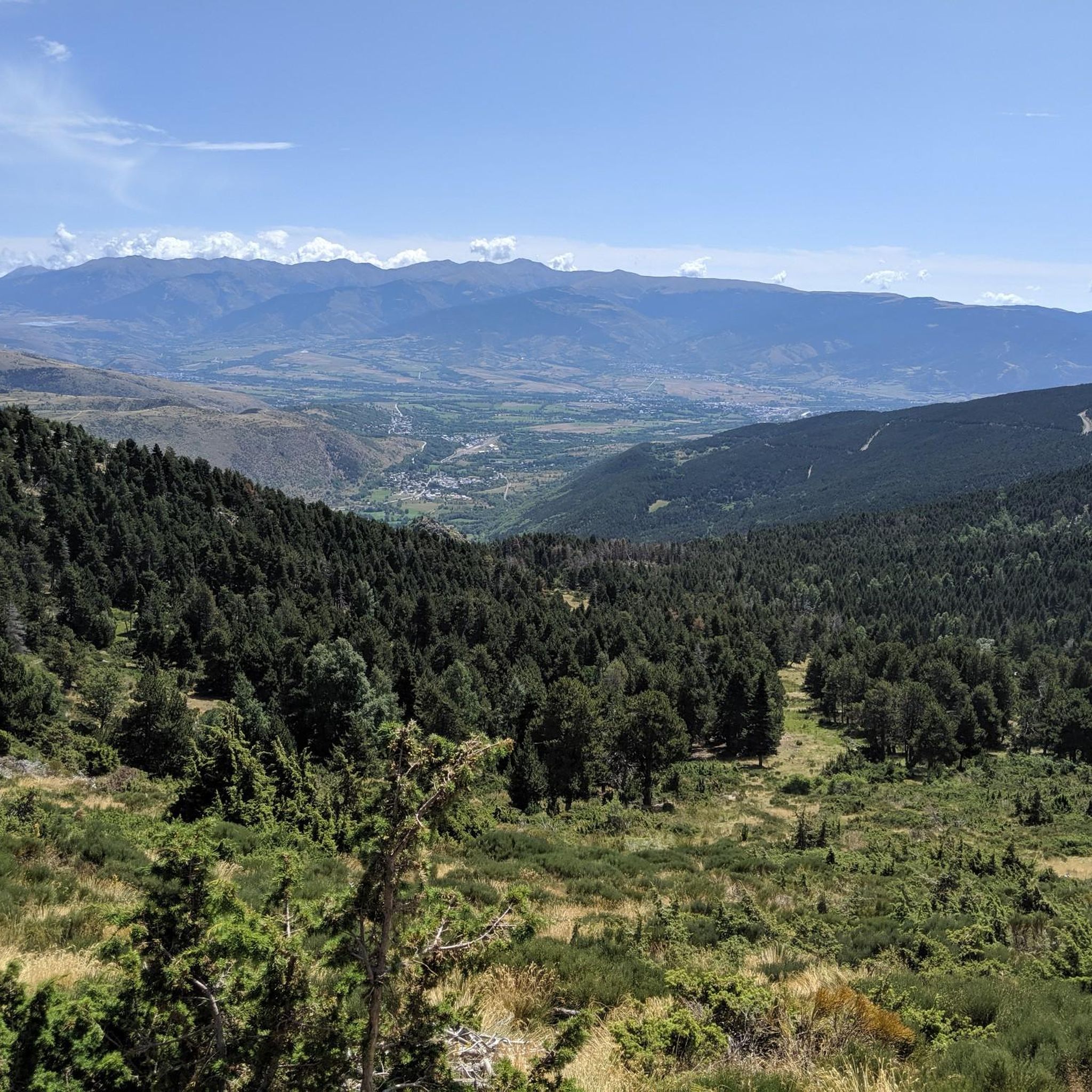
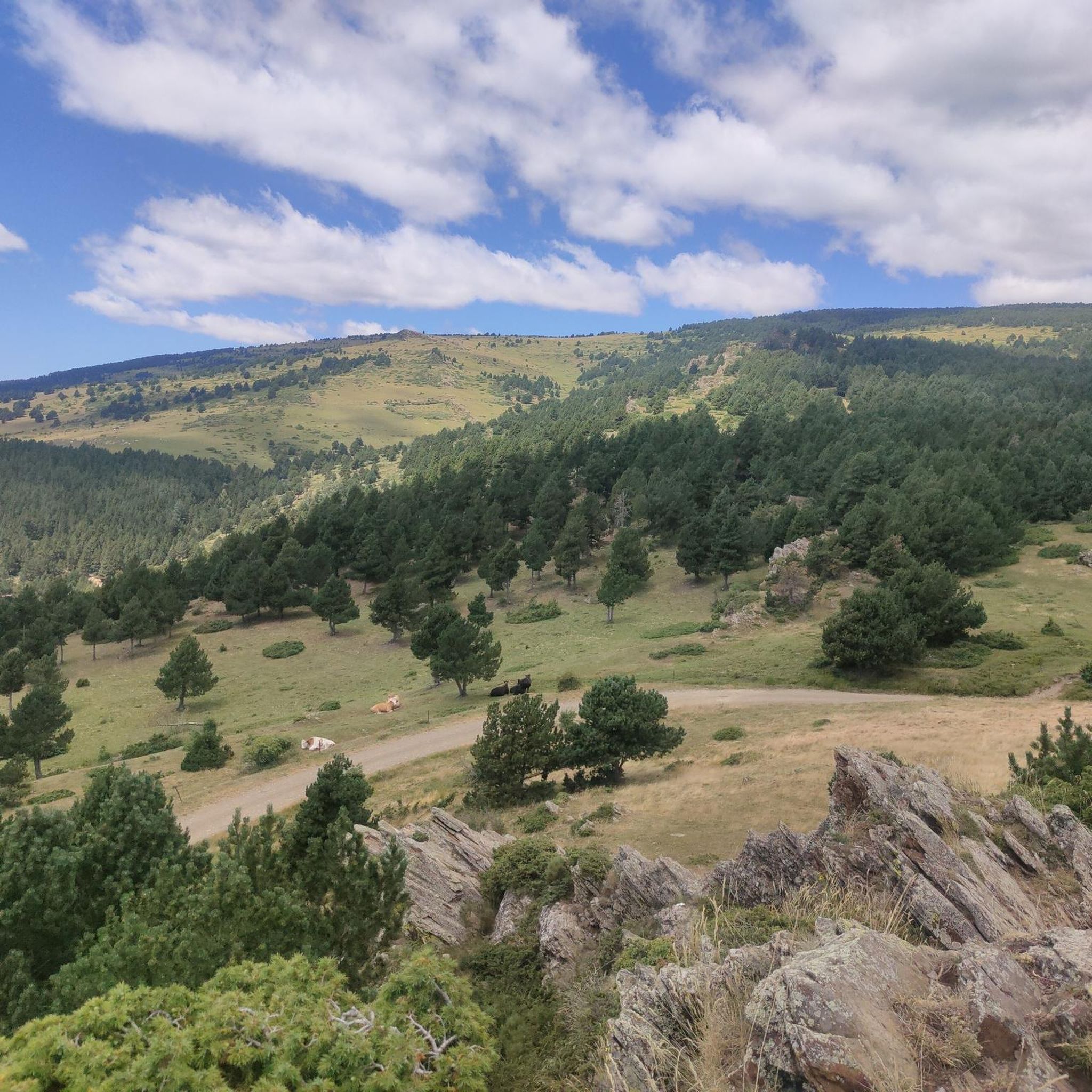
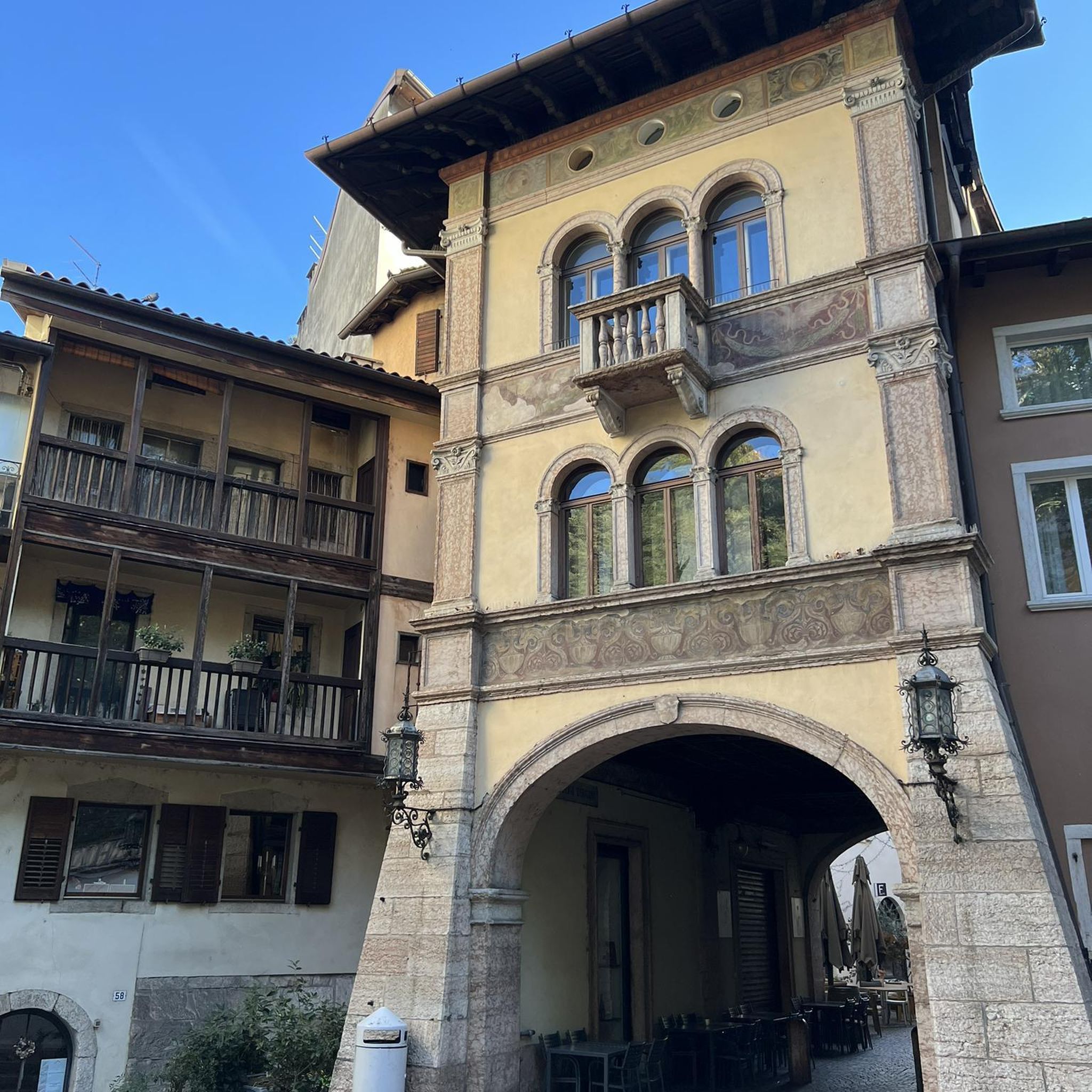
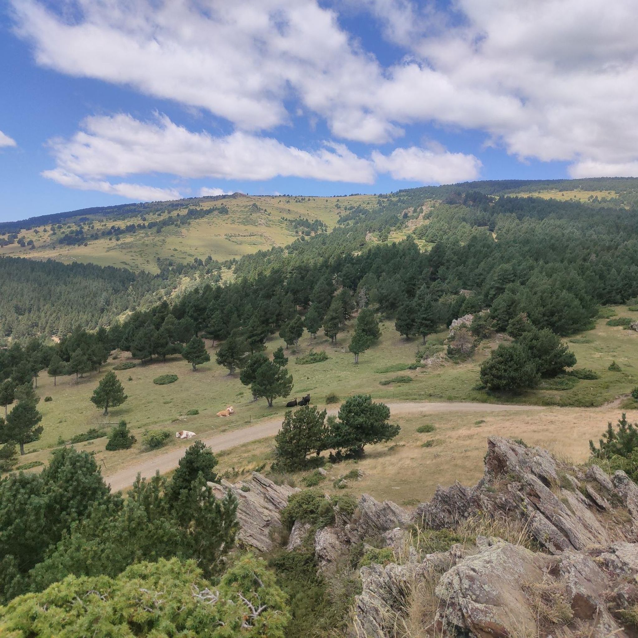

Tips from the Community


A drinking water tap, near the village school, always available 365/24
1
0
The road is no longer blocked. Be careful, there are more cars than before.
0
0

Regular asphalt if it's downhill Bones vistas
0
0

Well, starting from Font Romeu and breaking legs from Mont Louis
0
0

Second port of the 4cims. Long but very laid out. It is worth enjoying its views without putting down the big plate at many times. :)
0
0

The Col de la Calvaire de Font Romeu is a mountain pass in French Cerdanya, next to the town and ski resort of Font Romeu. This port connects the Bolquère valley with the Cerdanya valley. The port is within the same town of Font Romeu, next to the station's ski lifts. There are many slopes to reach Col de la Calvaire: - the western slope that starts from Ur is approximately 16 km and crosses the town of Targasone and the Col d'Egat. It is a very steep climb along a road in perfect condition, although on holidays there is a lot of traffic. - The southern slope starts from Llívia and crosses Estavar and joins the previous one at the Col d'Egat. Unlike the first, the first section of the climb is very hard, with several horseshoe curves and with wonderful views of the entire Cerdanya and the Tosa d'Alp. - The eastern slope stops at Olette, and after approximately 28 km it reaches the top of the pass, passing through the town of Mont-Louis and Bolquère. It is a very steep climb, like the first, on a road in perfect condition but with a lot of traffic. I don't like going up here. - the eastern slope that starts from Olette and passes through the Col de la Perche, reaching the town of Font-Romeu and from there to the top. Of all the slopes, the one I like the most is the slope that starts from Llívia and crosses Estavar.
0
0
You can access the Masella ski resort through 3 different areas: - Pla de Masella, the main area, where several businesses, bars and hotels are located. - Coma Oriola, the most remote access, which is reached once you have overcome Pla de Masella and after overcoming 7 more km of ascent. He has a small business, only open during the winter months, when the ski resort is open. In summer, there is nothing... only tranquility!!!! - La Pía, an area with a large parking lot and which, like Coma-Oriola, does not have any type of service in summer. La Pía is close to crowning the Collada de Toses and on the route to the Collada de la Creueta. My advice for visiting La Masella by bicycle is without a doubt to go up to Coma Oriola and descend to Pla de Masella to have a drink.
0
0
Frequently Asked Questions
What is the overall difficulty level of road cycling routes around Guils De Cerdanya?
Road cycling routes in Guils De Cerdanya are primarily characterized by challenging mountain passes and significant elevation changes. While there are 18 easy routes and 59 moderate routes, 27 routes are classified as difficult, offering substantial climbs and descents through high-altitude landscapes.
Are there any family-friendly road cycling options in Guils De Cerdanya?
While many routes feature challenging mountain terrain, there are 18 routes classified as easy, which may be more suitable for families or those looking for a less strenuous ride. These routes typically involve less elevation gain and shorter distances, though specific family-friendly amenities should be checked per route.
What kind of terrain can I expect on road cycling routes in this region?
The terrain around Guils De Cerdanya primarily consists of paved mountain roads. You can expect routes to navigate high-altitude landscapes, featuring challenging ascents and descents, often crossing into neighboring areas and offering panoramic views.
Are there any circular road cycling routes available?
Yes, many routes in the region are circular. For example, the Collado de Toses & Creueta & Maranges - Circular Tour via la Molina is a popular difficult loop, and the Collada de Toses Pass – Creueta Pass (1,888 m) loop from Puigcerdà also offers sustained climbing and descending in a loop format.
What are some notable landmarks or viewpoints I can see while road cycling?
The region offers stunning mountain views. You might encounter various mountain passes and peaks. For specific viewpoints, consider routes that pass near highlights such as Pic dels Pessons or Puigpedrós Summit (2,911 m), or mountain passes like Portella Blanca.
What is the best time of year for road cycling in Guils De Cerdanya?
Given the high-altitude Pyrenean landscape, the best time for road cycling is typically from late spring through early autumn (May to October) when mountain passes are clear of snow and weather conditions are generally more stable. Winter can bring snow and ice, making many routes impassable or hazardous.
Are there any cafes or places to refuel along the road cycling routes?
While specific cafes are not listed for each route, the region has towns and villages where you can find amenities. It's advisable to plan your route and check for services in towns like Puigcerdà or near popular passes, as services can be sparse in higher, more remote areas. Always carry sufficient water and snacks.
What do other road cyclists say about the routes in Guils De Cerdanya?
The road cycling routes in Guils De Cerdanya are highly rated by the komoot community, with an average score of 4.4 stars from over 100 reviews. Cyclists often praise the challenging mountain passes, the expansive valley views, and the overall scenic beauty of the high-altitude Pyrenean landscapes.
How long are the typical road cycling routes in this area?
Route lengths vary significantly. For instance, the Collado de Toses & Creueta & Maranges - Circular Tour via la Molina is 59.4 miles (95.5 km), while the Eyne – Col de la Perche (1,579 m) loop from Puigcerdà is 49.6 miles (79.9 km). You can find routes ranging from shorter, moderate distances to long, difficult endurance rides.
Are there any huts or refuges along the road cycling routes for emergencies or breaks?
While primarily for hikers, some routes might pass near mountain huts that could offer shelter or basic provisions. Notable huts in the broader area include Malniu Mountain Hut and Refugi de l'Illa. It's always best to check the specific route details and hut availability if you plan to rely on them.
What are some options for moderate difficulty road cycling routes?
For a moderate challenge, consider routes like the Collada de Toses Fountain – Collada de Toses Pass loop from Estació superior, which is 31.5 miles (50.7 km) and leads through mountain passes and valleys. Another option is the Llo Pass – Col de la Perche (1,579 m) loop from Puigcerdà, covering 50.3 km with moderate elevation.
Most popular routes around Guils De Cerdanya
Most popular attractions around Guils De Cerdanya

Get inspired with the komoot mobile app


Explore more
Browse the best Road cycling routes in other regions.
