The best mountain hikes around Santa María De Guía De Gran Canaria
5.0
(19)
126
hikers
8
hikes
Mountaineering routes around Santa María De Guía De Gran Canaria traverse a diverse volcanic landscape, characterized by dramatic rock formations, deep ravines, and extensive pine forests. The region features significant elevation changes, offering routes that ascend to prominent peaks and viewpoints. This terrain provides varied challenges for mountaineers, from moderate ascents to more demanding trails with considerable elevation gain. The municipality's varied topography includes a rocky coastline with eroded cliffs and an interior marked by extensive ridges and V-shaped ravines.
…Last updated: July 29, 2026
5.0
(3)
10
hikers
10.2km
03:24
500m
500m
Moderate mountaineering route. Good fitness required. Mostly accessible paths. Sure-footedness required.
5.0
(3)
7
hikers
8.05km
03:27
510m
510m
Hard mountaineering route. Good fitness required. Sure-footedness, sturdy shoes and alpine experience required.

Sign up for free
6
hikers
7.04km
02:13
260m
270m
Moderate mountaineering route. Good fitness required. Easily-accessible paths. Suitable for all skill levels.
5.0
(1)
7
hikers
17.4km
07:15
1,220m
1,220m
Hard mountaineering route. Very good fitness required. Mostly accessible paths. Sure-footedness required.
3
hikers
12.2km
04:54
640m
630m
Moderate mountaineering route. Good fitness required. Mostly accessible paths. Sure-footedness required.
Get access to more routes and recommendations from other explorers.
Sign up for free
Already have an account?
Our route recommendations are based on thousands of hikes, rides, and runs completed by other people on komoot.
Start today with a free account
Your next adventure awaits.
Login or Signup
Popular around Santa María De Guía De Gran Canaria
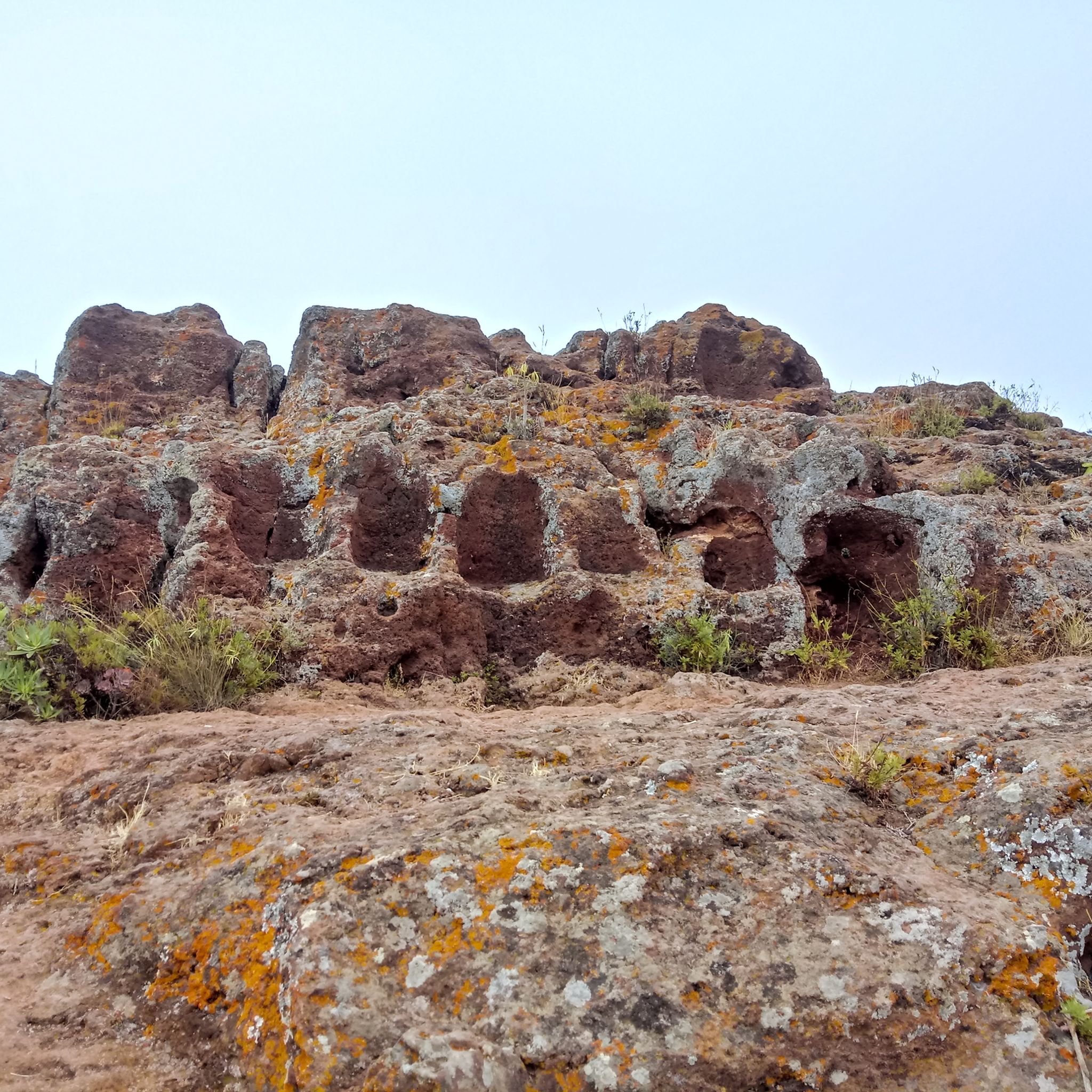
Hiking around Santa María De Guía De Gran Canaria
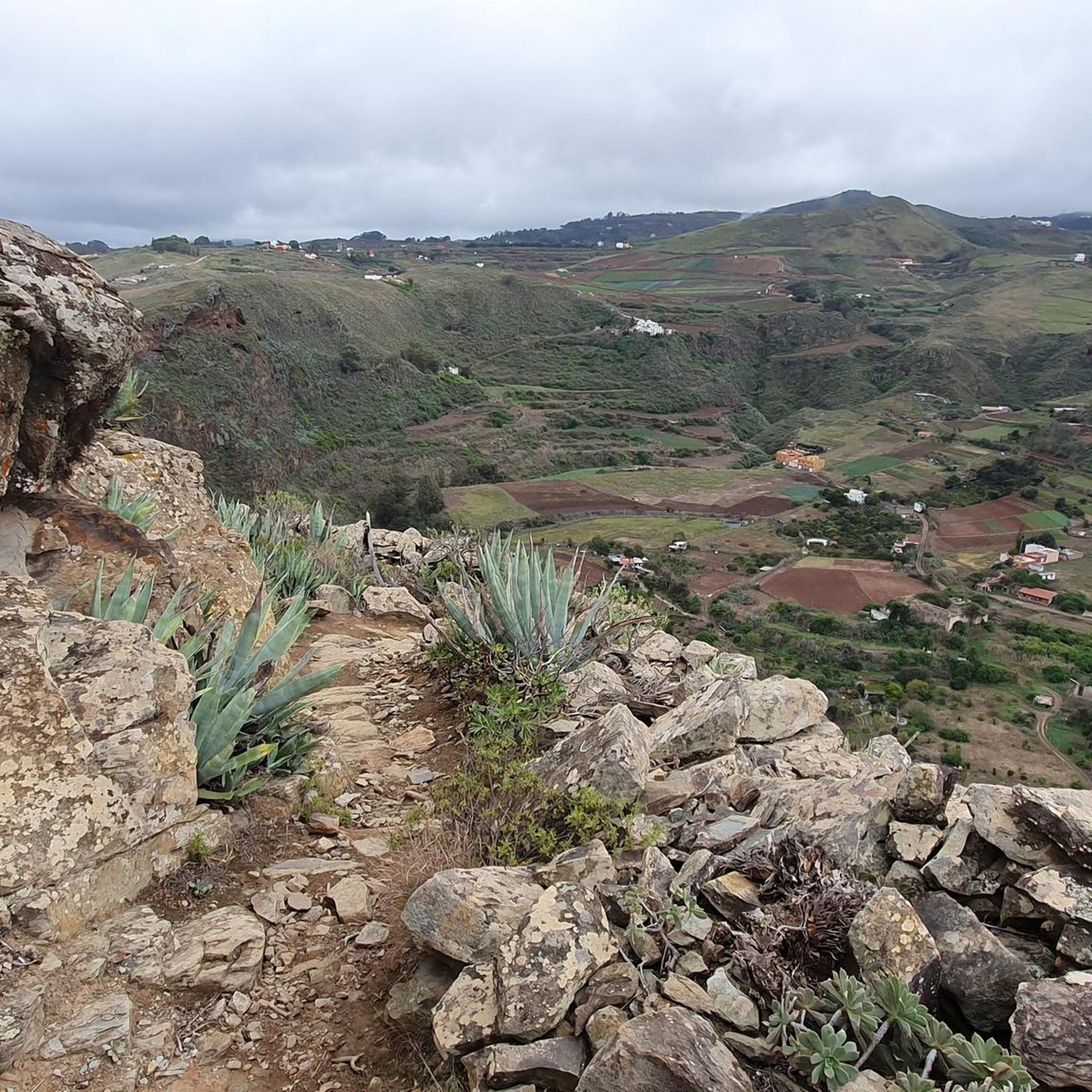
Road Cycling Routes around Santa María De Guía De Gran Canaria
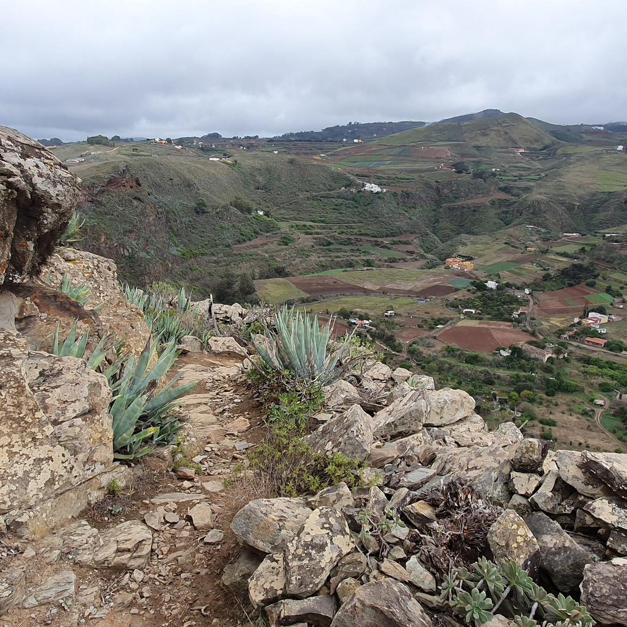
MTB Trails around Santa María De Guía De Gran Canaria
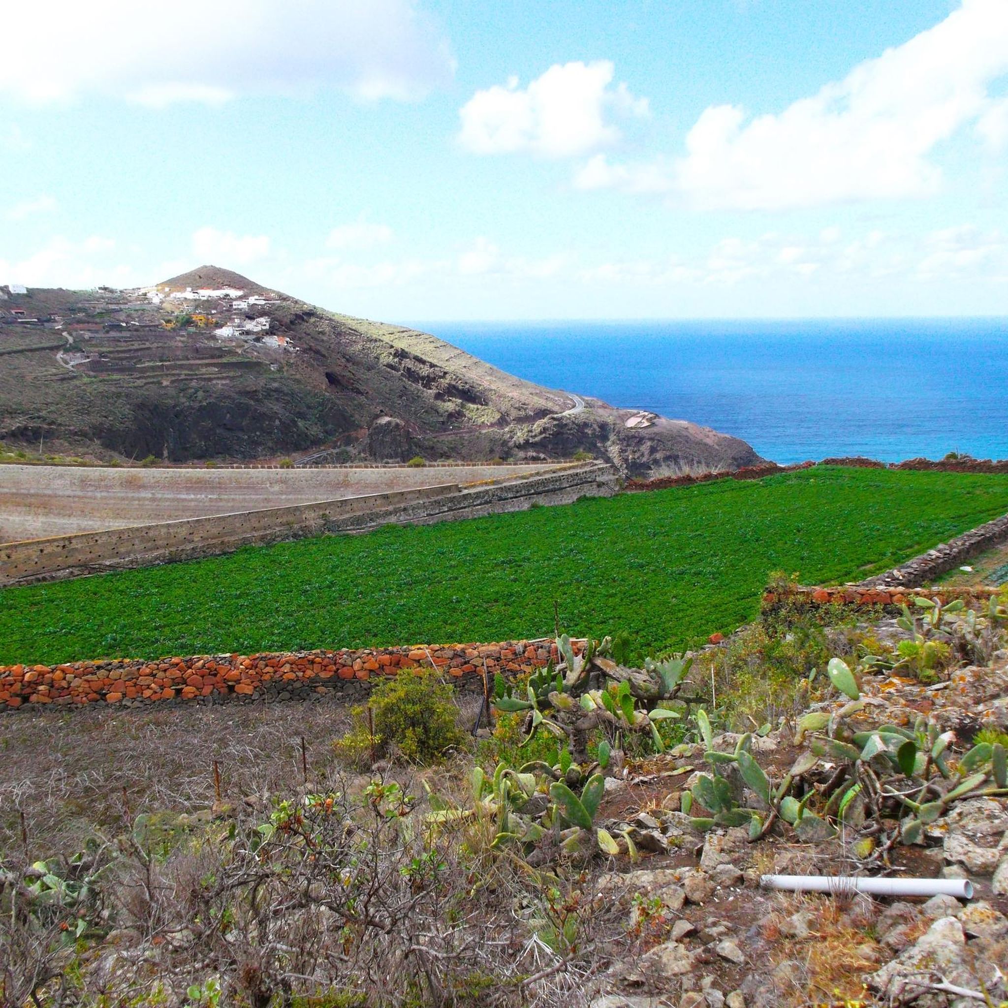
Running Trails around Santa María De Guía De Gran Canaria
Cycling around Santa María De Guía De Gran Canaria

Gravel biking around Santa María De Guía De Gran Canaria
Tips from the Community

From this viewpoint, you benefit from a spectacular panorama of the cliffs that plunge abruptly towards the ocean. Between them, you can see Agaete, a small coastal town that stands out with its white houses.
0
0
This superb ascent is in places carved, as stairs, directly into the rock. A physical climb but one that is worth every effort. Along the way, you can cool off in the various caves you will encounter.
0
0
The Tamadaba pine forest is one of the best-preserved Canary pine forests. It is protected by the Tamadaba Natural Park, one of the best-preserved natural areas of Gran Canaria. It is also part of an area designated as a UNESCO Biosphere Reserve.
0
0
Located in the heart of Gran Canaria, La Culata is part of the municipality of Tejeda. It is made up of traditional houses built on the cliff face from which it gets its name. From the heights of the village, you can see the distribution of the houses and the terraced crops that adapt to the hills.
0
0

Our path to Roque Nublo leads here through a sparse pine forest.
0
0
In clear weather, the view from here extends all the way to Tenerife.
0
0


The images don't just show Roque Nublo; for example, the image with the helicopter in the center depicts Bentayga. This rock formation has a completely different, important significance in the heart of Gran Canaria! However, the helicopter adds immense value to the image and also shows the vastness of the scene.
1
0
Frequently Asked Questions
How many mountaineering routes are available around Santa María De Guía De Gran Canaria?
This guide features 9 distinct mountaineering routes in the area, offering a variety of challenges and scenic experiences.
Are there easy mountaineering routes suitable for beginners?
Yes, there is one easy mountaineering route listed in this guide. While all routes in this region involve some elevation, this particular trail is designed to be more accessible for those new to mountaineering. For a moderate option, consider the Tamadaba Peak – Tamadaba Pine Forest loop from Degollada de las Lajas, which offers beautiful scenery with manageable ascents.
What is the best time of year for mountaineering in Santa María De Guía De Gran Canaria?
Gran Canaria generally enjoys a mild climate year-round, making mountaineering possible in most seasons. However, the cooler months from October to May are often preferred for more strenuous routes, as summer temperatures can be quite high, especially at lower elevations. Always check local weather forecasts before heading out, as mountain conditions can change rapidly.
Are there any challenging mountaineering routes for experienced climbers?
Absolutely. The region offers 4 difficult routes for those seeking a greater challenge. For instance, the Presa de los Rajones – Presa de la Laguna loop from San Pedro is a demanding route with significant elevation gain, perfect for experienced mountaineers looking for a rigorous adventure.
What kind of natural attractions can I expect to see along the mountaineering routes?
The routes traverse a diverse volcanic landscape. You can encounter dramatic rock formations, deep ravines, and extensive pine forests. Notable landmarks include the iconic Roque Nublo and the Pico de las Nieves summit. Some trails also pass through beautiful Canary Pine Forests.
Are there any circular mountaineering routes available?
Yes, many of the mountaineering routes in Santa María De Guía De Gran Canaria are circular, allowing you to start and end at the same point. This guide includes several loop trails, such as the Roque Nublo – View of Roque Nublo loop from Gran Canaria and the La Culata Church – La Culata village loop from Tejeda.
What do other mountaineers enjoy most about the routes in Santa María De Guía De Gran Canaria?
The mountaineering routes in this region are highly rated by the komoot community, with an average score of 4.8 stars from over 20 reviews. Mountaineers often praise the stunning panoramic views, the unique volcanic landscapes, and the well-maintained trails that offer a true sense of adventure.
Are there any waterfalls or natural pools near the mountaineering trails?
While the primary focus of these routes is mountaineering, the wider region of Santa María De Guía De Gran Canaria does feature beautiful water attractions. You can find highlights like the Blue Pool and El Charco de la Paloma, which are popular spots to visit in the area.
What is the difference between mountaineering and hiking trails in this region?
In Santa María De Guía De Gran Canaria, mountaineering routes typically involve more significant elevation changes, rugged terrain, and can sometimes require a higher level of fitness and experience compared to general hiking trails. They often lead to prominent peaks or through challenging barrancos (ravines), offering a more intense mountain experience.
Are there any hidden gem mountaineering routes that are less crowded?
While popular spots like Roque Nublo can attract visitors, many routes, especially those with higher difficulty, offer a more secluded experience. Exploring trails within the Tamadaba Natural Park, such as the Tamadaba Peak – Tamadaba Pine Forest loop from Degollada de las Lajas, can provide a sense of tranquility amidst ancient pine forests, away from the busiest areas.
What should I know about weather conditions when planning a mountaineering trip?
Gran Canaria's weather can vary significantly with altitude. While coastal areas might be warm and sunny, higher elevations can be cooler, windier, and prone to cloud cover or even rain, especially in winter. Always pack layers, bring waterproof gear, and check the mountain-specific forecast before you set out. The 'sea of clouds' phenomenon is common and can reduce visibility.
Most popular routes around Santa María De Guía De Gran Canaria
Most popular attractions around Santa María De Guía De Gran Canaria

Get inspired with the komoot mobile app


Explore more
Browse the best Mountain Hikes & Routes in other regions.
