The best road cycling routes around Villarino De Los Aires
5.0
(1)
22
riders
7
rides
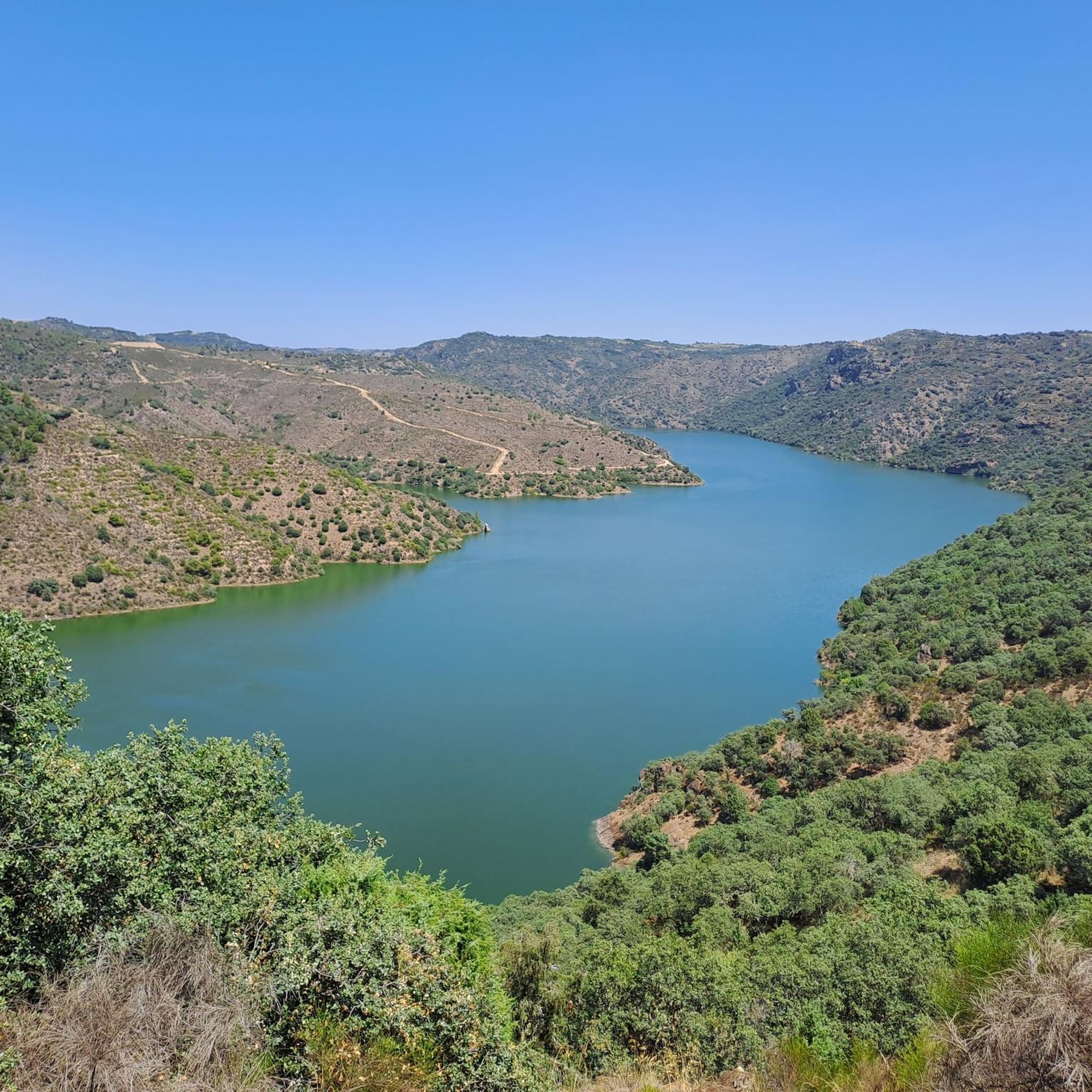
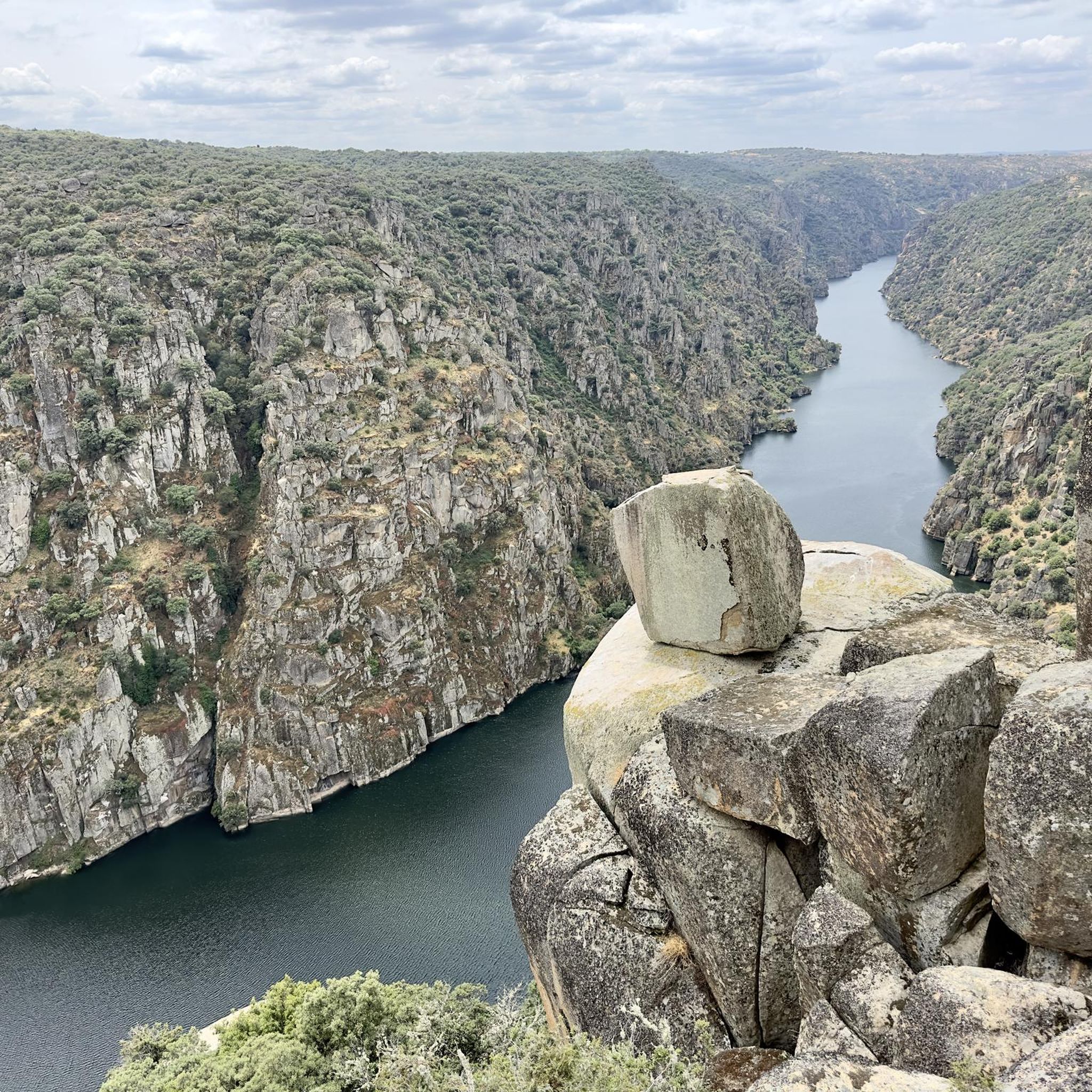
Road cycling routes around Villarino De Los Aires are situated within the Arribes del Duero Natural Park, characterized by deep canyons carved by the Duero River and a rugged granite landscape. Elevations can reach up to 500 meters, offering varied terrain for cyclists. The region features undulating roads and river canyons, providing diverse scenery throughout rides.
Best road cycling routes around Villarino De Los Aires
- The most popular road cycling route is Almendra Reservoir and Fermoselle Loop, a 32.0…
Last updated: May 16, 2026
5.0
(1)
3
riders
51.5km
02:31
780m
780m
Moderate road ride. Good fitness required. Mostly well-paved surfaces and easy to ride.
7
riders
72.6km
03:54
1,310m
1,310m
Hard road ride. Very good fitness required. Some segments of this route may be unpaved and difficult to ride.

Sign up for free
4
riders
53.0km
02:32
610m
610m
Moderate road ride. Good fitness required. Mostly well-paved surfaces and easy to ride.
2
riders
87.1km
04:11
1,130m
1,130m
Hard road ride. Very good fitness required. Some segments of this route may be unpaved and difficult to ride.
Get access to more routes and recommendations from other explorers.
Sign up for free
Already have an account?
Our route recommendations are based on thousands of hikes, rides, and runs completed by other people on komoot.
Start today with a free account
Your next adventure awaits.
Login or Signup
Popular around Villarino De Los Aires

Tips from the Community

In the village of Bemposta, natural charm blends with the soul of traditions. In the heart of the Douro International Natural Park, this village stands on a promontory with breathtaking views: on one side, the imposing Faia da Água Alta and Faia do Cuco stand out; on the other, the plains of Zamora and Salamanca stretch out to the horizon. And as if the scenery weren’t enough, there’s also the vibrant mask festival, where folklore comes to life in a parade that crosses borders and brings together cultures from various parts of the world.
1
0

Beautiful waterfall ( to be better seen in wet season) with a hiking loop (with high steps) around it so it's visible from above and below.
0
0

The Duero River offers spectacular views from this point, it is a very beautiful route.
0
0
It is one of the places where you can best see the town of Fermoselle.
0
0

Between this area of small hills and where areas of forests and almond fields are combined, it offers us a wonderful and beautiful landscape to go with the bicycle!
0
0

Spectacular views of the mountain town on the border with Portugal.
1
0
The old Convent of San Francisco was converted into the House of the Arribes del Duero Natural Park and a hostel for travelers in the area.
1
0
Located in Sayago, Muga de Sayago, is a small town on the westernmost southern limit of the province of Zamora. The most remarkable monument of the town is the hermitage of Fernandiel.
0
0
Frequently Asked Questions
What kind of terrain can I expect when road cycling around Villarino De Los Aires?
The road cycling routes around Villarino De Los Aires are characterized by deep river canyons carved by the Duero River and a rugged granite landscape. You'll encounter undulating roads with significant elevation changes, as the region features dramatic contrasts between high plains and river gorges. This varied terrain offers both challenging climbs and scenic descents.
What are the difficulty levels of road cycling routes in this region?
The routes in Villarino De Los Aires cater to cyclists seeking both moderate and more demanding challenges. Our guide includes 4 moderate routes and 3 difficult routes, making it suitable for experienced riders looking for significant elevation gains.
Are there any notable viewpoints or scenic spots along the road cycling routes?
Absolutely. The region is renowned for its breathtaking panoramic views. You can find stunning vistas at locations like Staircase Viewpoint and Pozo de los Humos Viewpoint. The route View from Mirador de la Faya – Molino de las Pasaderas loop from Trabanca specifically highlights one of these scenic spots.
Can I see any waterfalls while road cycling in the area?
Yes, the area boasts impressive waterfalls, especially spectacular during the rainy season. The majestic Pozo de los Humos Waterfall on the Uces River, with its approximately 50-meter drop, is a highlight. Another beautiful one is Cascada de Pinero. The route Faia da Água Alta Waterfall – Trindade Coelho Statue loop from Bemposta leads through the natural park and features such natural attractions.
What is the best time of year to go road cycling in Villarino De Los Aires?
The region benefits from a unique microclimate, often compared to a Mediterranean forest. While specific cycling seasons aren't detailed, the waterfalls are especially spectacular during the rainy season, which might offer a different scenic experience. Generally, spring and autumn provide pleasant temperatures for cycling, avoiding the peak heat of summer.
What do other road cyclists enjoy most about the routes in Villarino De Los Aires?
The road cycling experience in Villarino De Los Aires is highly rated by the komoot community, with an average score of 5.0 stars. Cyclists often praise the varied terrain, the dramatic canyon views, and the relatively empty, well-maintained local roads that make for a peaceful and rewarding ride.
Are there any long-distance road cycling routes available?
While specific long-distance routes are not detailed in the guide, the GR 14, a long-distance hiking and cycling route, follows the course of the Duero River, offering extensive opportunities for exploration beyond individual loops. For specific routes, you can explore options like View of Fermoselle – Almendra Reservoir loop from Pereña de la Ribera, which covers over 93 km.
Are there any circular road cycling routes in the area?
Yes, many of the routes are designed as loops, allowing you to start and finish in the same location. Examples include the Almendra Reservoir and Fermoselle Loop and the View of Fermoselle – View of Fermoselle loop from Fermoselle, which are popular choices among local cyclists.
What kind of natural features can I observe while cycling through Arribes del Duero Natural Park?
The Arribes del Duero Natural Park is a rich environment. You'll cycle through rugged granite landscapes, deep canyons, and areas with a unique microclimate that fosters diverse flora and fauna, including golden eagles and black storks. The dramatic contrasts between the high plains and river canyons provide constantly changing scenery.
Are there any historical or cultural points of interest along the cycling routes?
Beyond natural beauty, the region holds historical significance. The Teso de San Cristóbal area, for instance, features a Vetton sanctuary, ancient ruins of a Romanesque hermitage, and anthropomorphic tombs. You might also encounter the Hermitage of Santa Cruz, adding a cultural dimension to your ride.
What is the average duration for a road cycling route in Villarino De Los Aires?
The duration varies significantly depending on the route's length and difficulty. For example, the Almendra Reservoir and Fermoselle Loop typically takes around 2 hours and 31 minutes, while more challenging routes can take considerably longer, up to 4-5 hours or more.
Is the region suitable for beginner road cyclists?
The road cycling routes around Villarino De Los Aires primarily feature moderate to difficult ability levels, characterized by undulating roads and significant elevation changes. While there are no routes specifically classified as 'easy' in our guide, experienced beginners comfortable with some climbs might find the moderate routes manageable.
Most popular routes around Villarino De Los Aires
Most popular attractions around Villarino De Los Aires

Get inspired with the komoot mobile app


Explore more
Browse the best Road cycling routes in other regions.
