The best MTB trails around Valle Gran Rey
4.6
(194)
845
riders
13
rides
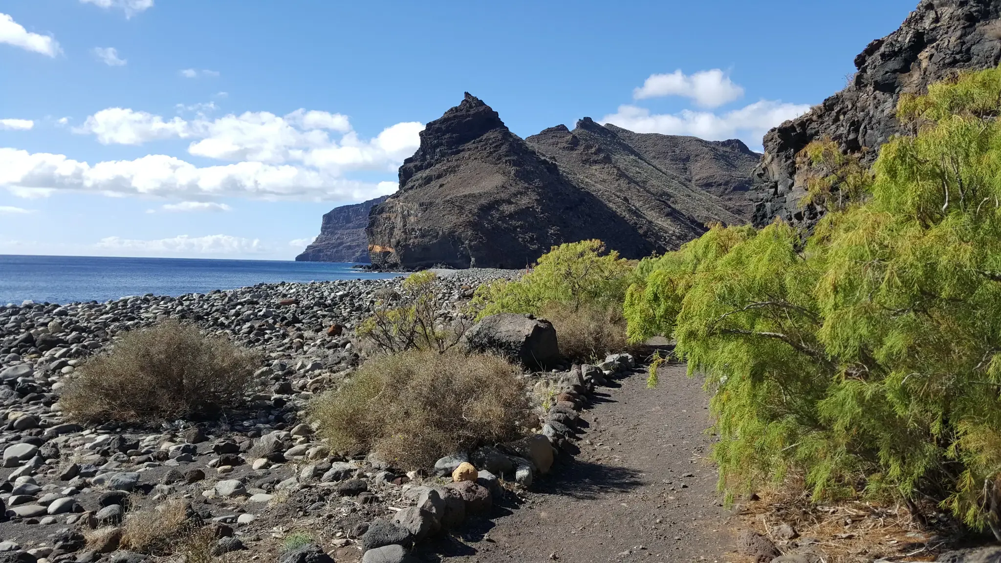
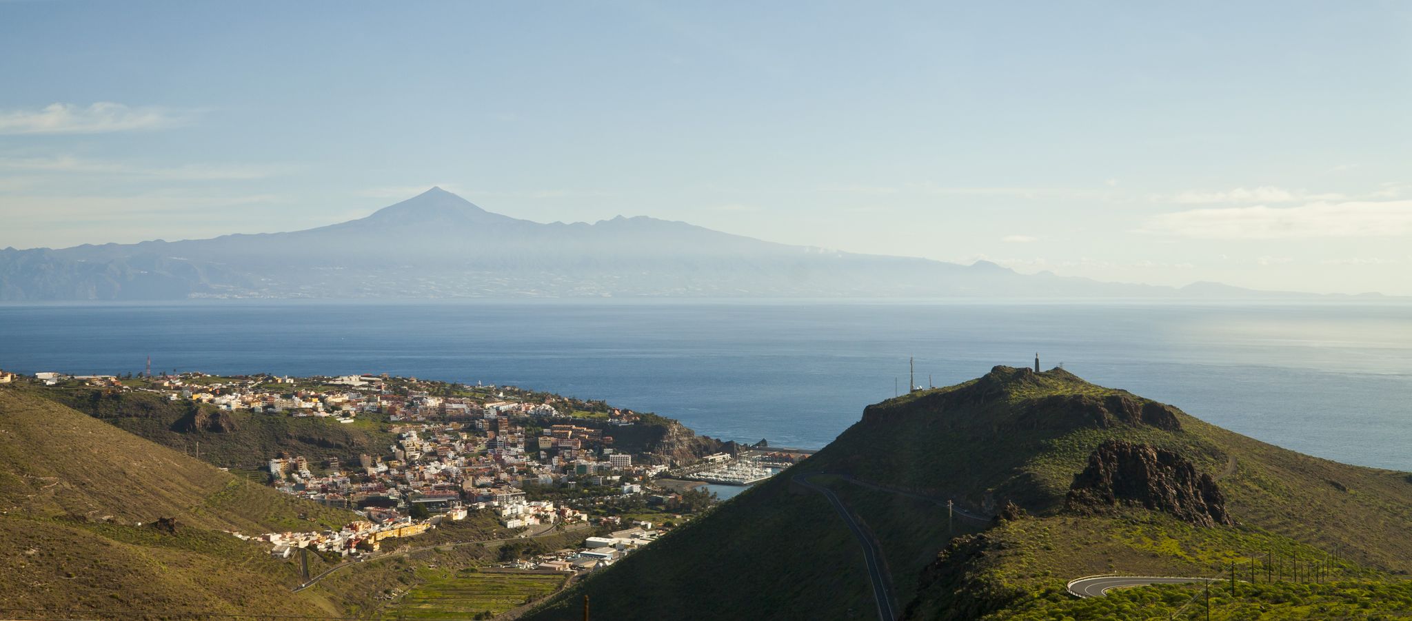
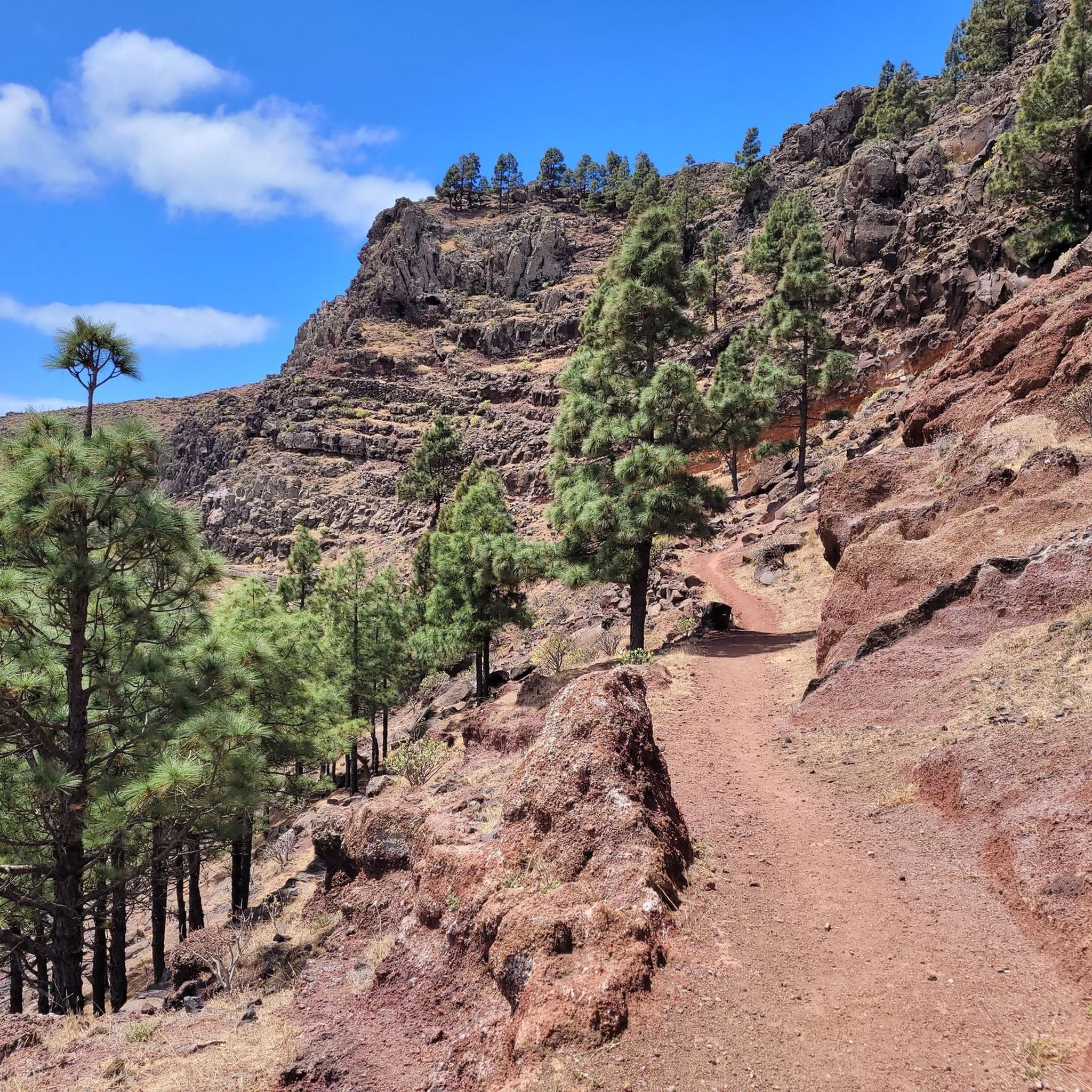
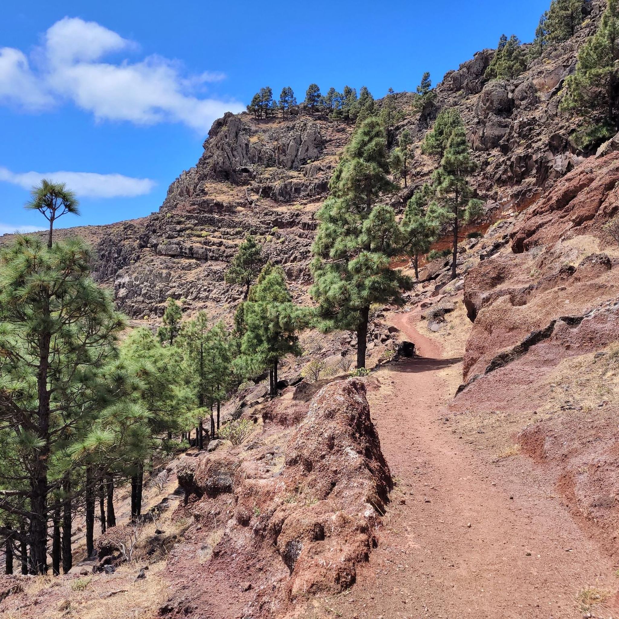
Mountain biking around Valle Gran Rey offers a diverse landscape, from lush valleys to dramatic cliffs and coastal stretches. The region's unique geography features green mountains, deep ravines, and fertile valleys, providing a wide array of routes. Trails traverse across mountains, including parts of Garajonay National Park, with significant elevation changes. The area is characterized by sculpted landscapes and terraced fields, offering varied terrain for mountain bikers.
Best mountain bike trails around Valle Gran Rey
- The most popular mountain bike…
Last updated: July 29, 2026
4.8
(49)
192
riders
50.8km
05:18
2,200m
2,200m
Hard mountain bike ride. Very good fitness required. Advanced riding skills necessary. Some portions of the route may require you to push your bike.
4.6
(33)
138
riders
50.2km
05:20
2,160m
2,160m
Hard mountain bike ride. Very good fitness required. Advanced riding skills necessary. Some portions of the route may require you to push your bike.

Sign up for free
4.7
(12)
63
riders
29.6km
03:10
1,200m
1,200m
Hard mountain bike ride. Very good fitness required. Advanced riding skills necessary. Some portions of the route may require you to push your bike.
4.4
(7)
45
riders
34.7km
03:30
1,300m
1,300m
Hard mountain bike ride. Very good fitness required. Advanced riding skills necessary. Some portions of the route may require you to push your bike.
4.8
(10)
65
riders
Hard mountain bike ride. Very good fitness required. Advanced riding skills necessary. Some portions of the route may require you to push your bike.
Get access to more routes and recommendations from other explorers.
Sign up for free
Already have an account?
Our route recommendations are based on thousands of hikes, rides, and runs completed by other people on komoot.
Start today with a free account
Your next adventure awaits.
Login or Signup


Tips from the Community

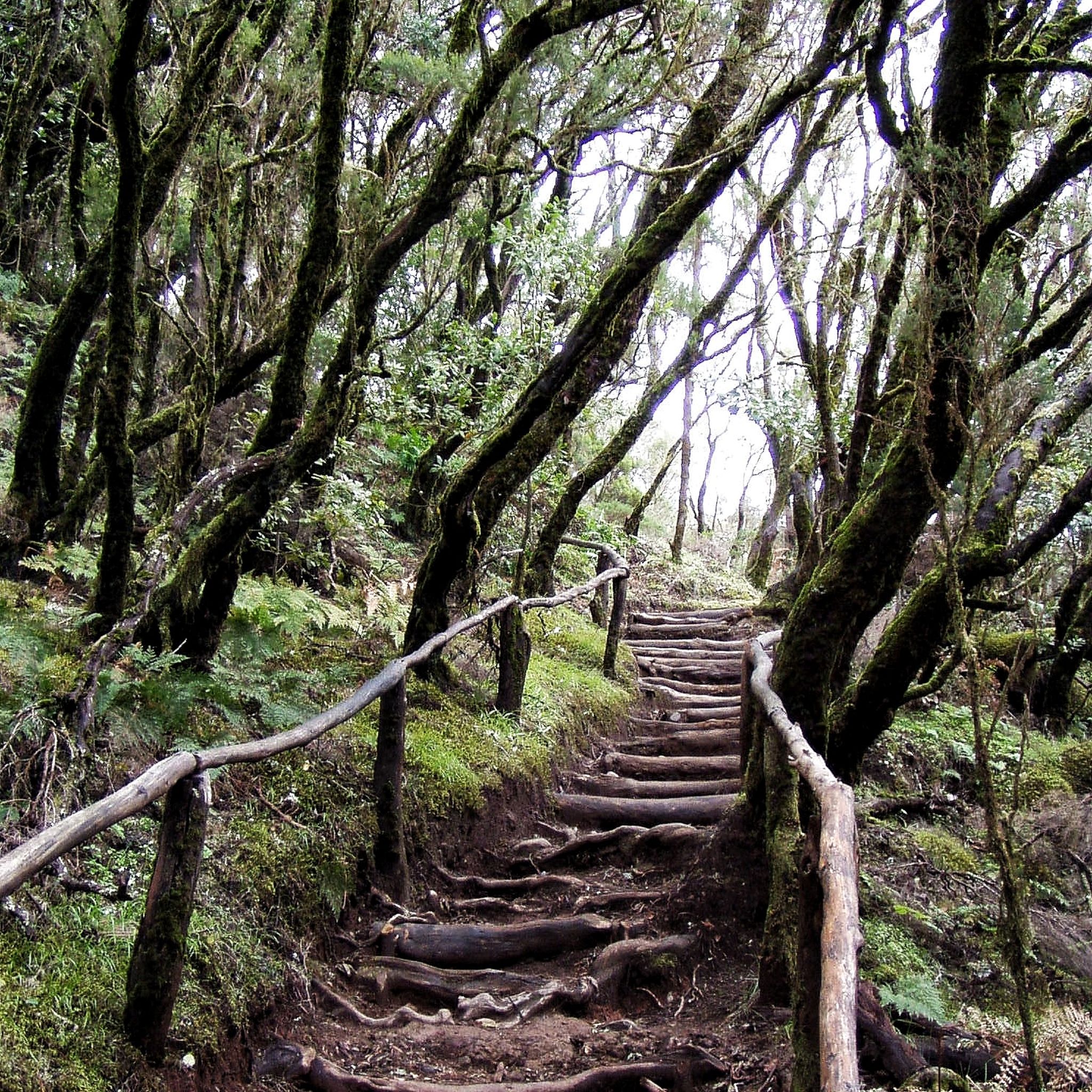
A very popular stopping area within Garajonay National Park, next to one of the most used parking lots for accessing trails, forest tracks, and viewpoints in the upper part of La Gomera. Here the landscape changes constantly: fog, humidity, laurel forest, and clearings from which enormous views open up towards the island's ravines. It is a strategic point for cyclists and hikers because it connects several park routes and allows easy connection to summit roads. Garajonay's laurel forest is one of the oldest and rarest forests in Europe, a humid ecosystem that survived from prehistoric times thanks to the trade winds. That's why this area has such a distinct atmosphere from the rest of the Canary Islands. Very close by, there is usually total silence... until the wind moves the trees or the fog rolls in suddenly.
0
0
A very well-known stop on the GM-1 road, going up from Vallehermoso towards the upper area of Garajonay. It's one of those strategic points on La Gomera where there are usually cars, cyclists, and motorcyclists stopping to rest, have coffee, or eat something before continuing their route along the summit. The access is fully asphalted and very convenient from Vallehermoso. From here you can easily connect with mountain roads that lead towards the area of El Cercado, Arure, Monte de Ayamosna, and several viewpoints from which you can see Teide on clear days. The restaurant is known for traditional Gomera cuisine, especially grilled meats, stews, almogrote, cheeses, and homemade dishes. The area is also famous for the historic Chorros de Epina, well-known springs on the island associated with ancient legends and popular beliefs. It's one of those places where many people end up stopping even if they hadn't planned it.
3
0
“Route 4 is short but seems to enter directly into a Jurassic forest, with dense laurisilva and moss-covered trees everywhere. Route 6, from Laguna Grande, allows you to traverse a wider part of the heart of Garajonay between old gomero paths and areas where you can still see how the forest recovered after the 2012 fire. Two easy but very atmospheric routes.”
1
0
In the heart of the Garajonay National Park, this recreational area is one of the most magical corners of La Gomera. Surrounded by laurel forest, mist, and moss-covered trees, it feels like a scene frozen in time. Ideal for taking a break on the route, having a snack, or simply listening to the silence of the forest as the light shifts through the mist. A classic for cyclists and hikers seeking the island's most humid, green, and mysterious side.
1
0
Mirador de El Palmarejo Also known as Mirador de César Manrique, it is one of the artist's most recognizable works outside of Lanzarote and considered one of his last major interventions. It was designed as a panoramic viewpoint and restaurant, fully integrated into the terraces and the mountain of Valle Gran Rey. For years it operated as a restaurant, although it went through several closures, reopenings, and management problems until it was abandoned for long periods. Even so, even when closed, it remains a spectacular place to stop and contemplate one of the most impressive views of Valle Gran Rey, especially at sunset.
0
0
From this point, you get one of the wildest and most isolated views of northwestern La Gomera. Below appears the hamlet of Arguamul, surrounded by enormous ravines and small strips of beach and black shingle that from above almost look like lost islets in the Atlantic. For centuries, this coast was a difficult area for navigation due to the strong surf and the absence of natural shelters, which is why landings and access from the sea were very difficult. The most interesting thing here is not so much the legends, but the real sense of isolation: until not so many years ago, Arguamul was mainly connected by mountain paths and trails, maintaining a life very separate from the rest of the island. On clear days, the mix of cliffs, ocean, and scattered hamlets makes the landscape seem almost untouched.
0
0
quite discreet compared to other reservoirs in the Canary Islands, but very important to understand how water has been historically managed in La Gomera. Here every drop counts, and these deposits helped to store water collected from rain and humidity from the peaks to supply nearby crops and agricultural areas. The curious thing is the contrast: a small reservoir surrounded by enormous ravines and wild volcanic landscape, where water has always been one of the island's most valuable resources.
0
0
Mirador de La Retama From this viewpoint, the wild dimensions of the ravines of La Gomera are perfectly understood. Directly opposite, you can see ancient caves dug into the rock, used for generations as shelter, storage, and even housing by the island's inhabitants in times when moving between valleys was much more complicated than today. The new road and tunnel have completely changed the connectivity of this area, but from here you can still perceive what the more isolated and rugged Gomera was like.
1
0
Frequently Asked Questions
What kind of terrain can I expect on mountain bike trails in Valle Gran Rey?
Mountain biking in Valle Gran Rey offers a diverse landscape, from lush valleys to dramatic cliffs and coastal stretches. You'll encounter green mountains, deep ravines, and fertile valleys dotted with palm trees. Trails often traverse across mountains, including parts of Garajonay National Park, and feature intensely terraced fields and traditional architecture.
How challenging are the mountain bike trails around Valle Gran Rey?
The trails in Valle Gran Rey range from moderate to difficult. Most routes involve significant elevation changes, with some rides featuring over 3,000 feet of elevation gain, demanding good to very good fitness. For example, the Viewing platform – View of Valle Gran Rey loop from La Calera is a difficult 34.6-mile trail with substantial climbs.
Are there any scenic viewpoints along the mountain bike trails in Valle Gran Rey?
Yes, many routes offer spectacular vistas. Popular trails include loops with views of Valle Gran Rey from areas like La Calera and Charco del Cieno. You can also find routes incorporating viewpoints such as Los Barranquillos and the Santa Clara Hermitage. The César Manrique Viewing Point also offers excellent panoramic views over Garajonay National Park.
What natural features or landmarks can I see while mountain biking in Valle Gran Rey?
You can explore parts of the UNESCO World Heritage site, Garajonay National Park, with its ancient laurisilva forests. The area is also characterized by dramatic ravines, steep slopes, and cliffs within the Rural Park of Valle Gran Rey. Keep an eye out for the Massifs of Mérica, a refuge for the critically endangered Giant Lizard of La Gomera.
Are there any waterfalls near the mountain bike trails in Valle Gran Rey?
Yes, the region features several beautiful waterfalls. You can find highlights such as the Arure Waterfall and the Waterfall in Barranco de Arure. Some trails even include barranco descents with waterfalls, offering a refreshing sight during your ride.
Are there any moderate mountain bike routes suitable for those looking for a less intense ride?
While many trails are difficult, there are some moderate options available. For instance, the View of Valle Gran Rey – Bike Service Station loop from La Calera is a moderate 7.5-mile route, offering a less strenuous experience with around 1,300 feet of elevation gain.
What do other mountain bikers enjoy most about mountain biking in Valle Gran Rey?
The area is highly rated by the komoot community, with an average score of 4.5 stars from over 140 reviews. Mountain bikers often praise the varied terrain, the extensive views over the valley, and the dramatic landscapes that combine green valleys, ravines, and coastal vistas.
Are there any circular mountain bike routes in Valle Gran Rey?
Yes, many of the mountain bike trails in Valle Gran Rey are designed as loops. Examples include the View of Valle Gran Rey – Santa Clara Hermitage loop from La Calera, a 31.2-mile difficult route, and the View of Valle Gran Rey – Viewing platform loop from Charco del Cieno, a 13.7-mile difficult trail.
What is the best time of year to go mountain biking in Valle Gran Rey?
Valle Gran Rey offers good mountain biking conditions for much of the year due to its mild climate. However, the best time to visit is generally during the cooler, drier months, typically from autumn through spring, to avoid the peak summer heat and ensure more comfortable riding conditions.
Are there options for guided mountain bike tours or bike rentals in Valle Gran Rey?
Yes, Valle Gran Rey is well-equipped for mountain bikers. Guided tours and high-quality bike rentals are readily available in the area. These often include shuttle services, helmets, and gloves, ensuring a well-supported experience for visitors.
How long do mountain bike trails typically take in Valle Gran Rey?
The duration of mountain bike trails varies significantly based on distance and difficulty. Shorter, moderate routes like the View of Valle Gran Rey – Bike Service Station loop from La Calera can take around 2 hours. Longer, more difficult trails, such as the Los Barranquillos Viewpoint – Santa Clara Hermitage loop from Valle Gran Rey, can last up to 5 hours or more due to significant elevation changes.
Most popular routes around Valle Gran Rey
Most popular attractions around Valle Gran Rey

Get inspired with the komoot mobile app


Explore more
Browse the best MTB trails in other regions.
