The best road cycling routes around Bovernier
4.5
(147)
10,051
riders
83
rides
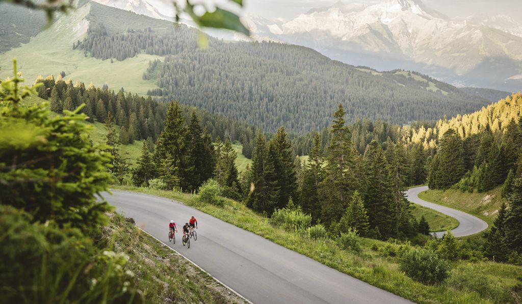
Road cycling around Bovernier offers diverse landscapes within the Swiss canton of Valais, characterized by significant elevation changes, deep valleys, and access to iconic Alpine passes. The region sits at the entrance to the Val d'Entremont and provides routes through lush meadows, dense forests, and challenging ascents. Cyclists can experience the dramatic Gorges du Durnand and the more gentle terrain of the nearby Rhône Valley.
Best road cycling routes around Bovernier
- The most popular road cycling route is Champex-Lac –…
Last updated: May 24, 2026
4.7
(3)
222
riders
57.2km
03:38
1,640m
1,640m
Hard road ride. Very good fitness required. Mostly well-paved surfaces and easy to ride.
5.0
(1)
141
riders
72.9km
04:57
2,130m
2,130m
Hard road ride. Very good fitness required. Some segments of this route may be unpaved and difficult to ride.

Sign up for free
5.0
(1)
72
riders
24.9km
01:50
940m
940m
Hard road ride. Very good fitness required. Mostly well-paved surfaces and easy to ride.
56
riders
25.2km
01:53
870m
870m
Moderate road ride. Good fitness required. Mostly well-paved surfaces and easy to ride.
106
riders
Easy road ride. Great for any fitness level. Mostly well-paved surfaces and easy to ride.
Get access to more routes and recommendations from other explorers.
Sign up for free
Already have an account?
Our route recommendations are based on thousands of hikes, rides, and runs completed by other people on komoot.
Start today with a free account
Your next adventure awaits.
Login or Signup
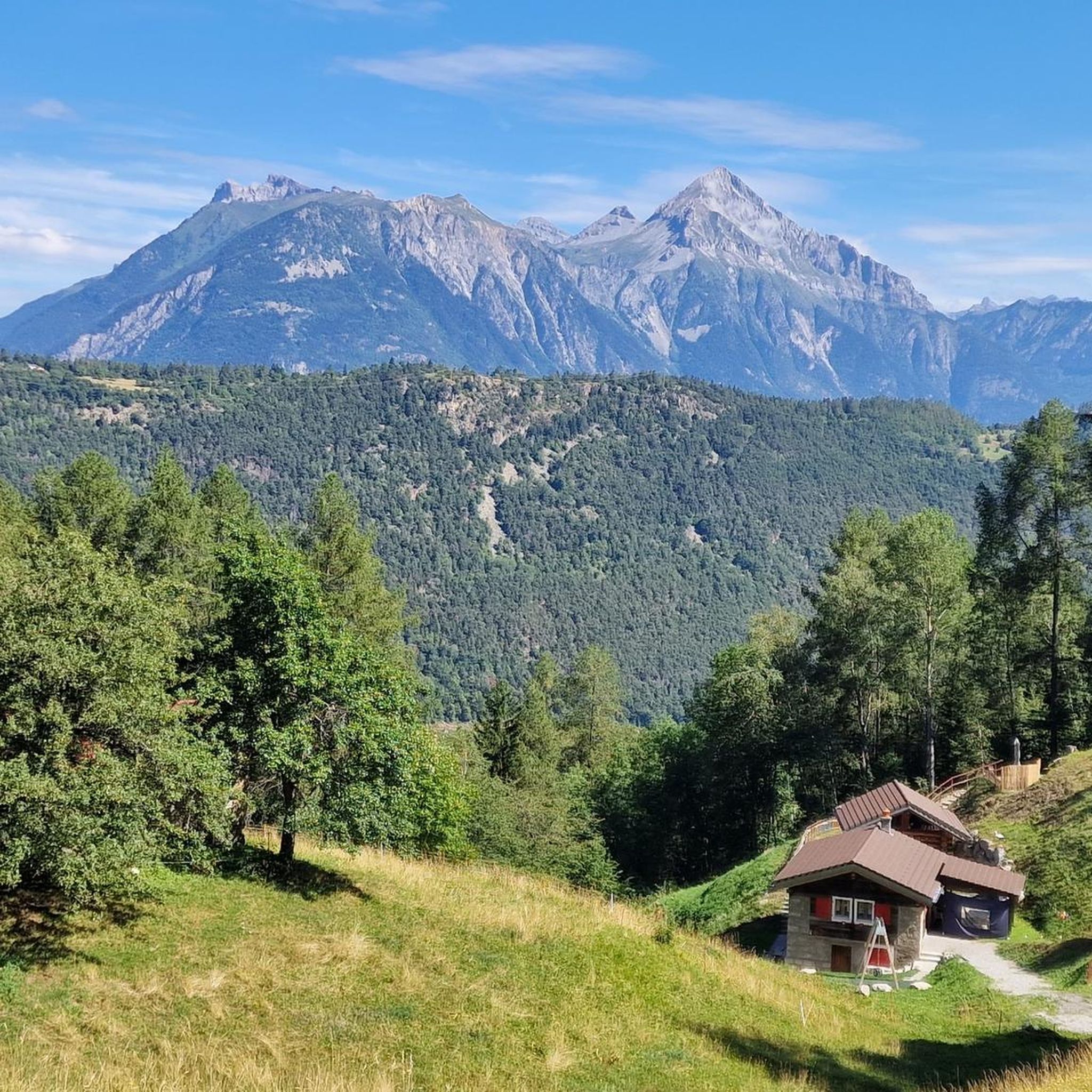
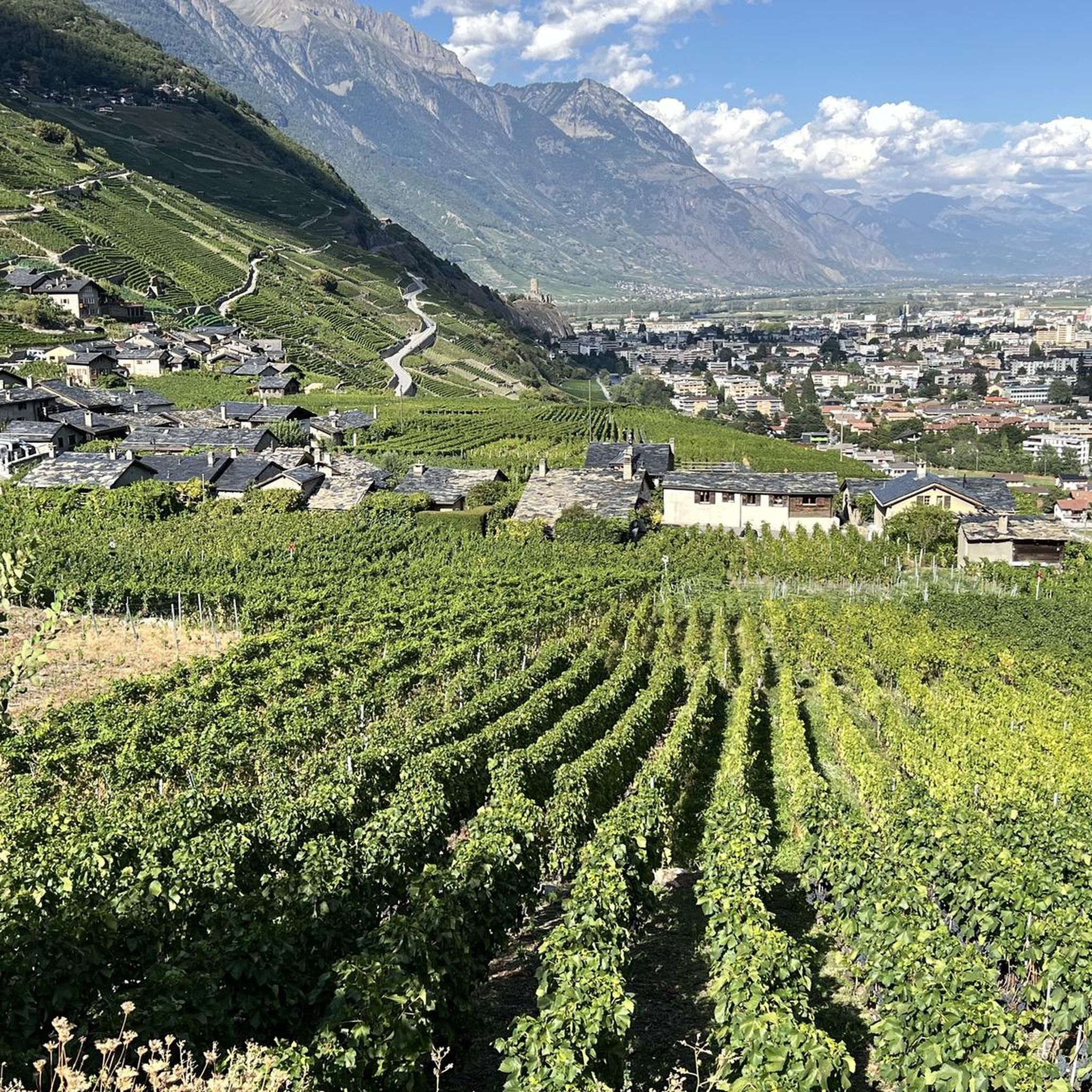


Tips from the Community

Beautiful, smooth, never extremely steep and only a few cars even on weekends.
0
1

Whether climbing or descending, the road between Champex-Lac and Orsiéres is simply a joy on a road bike! A few hairpin bends on the ascent help keep the gradient down, with average single-digit gradients down into the high valley.
0
0

If you tackle the Col du Lein from Saxon, a winding and scenic ride awaits you. Shortly before the summit, the single-track road turns into firm gravel, which is nevertheless easily rideable even on a road bike.
1
0

The rewards are the magnificent view of the Val de Bagnes and the cheese crust at the refreshment bar at the Col du Lein
2
0

The descent from Champex-Lac down to Orsières is peppered with incredible views down into the valley and of the Alpine panorama. It's especially picturesque in autumn, when the larch forests turn golden. There's a small restaurant in Som-la-Proz where you can get some refreshments. Alternatively, you can continue a few kilometers further down the valley to Orsières. There are various shops and restaurants where you can buy everything you need for the rest of your tour.
0
0
An intense and very impressive climb. Over eleven kilometers, you have to overcome an elevation gain of around 850 meters. The roads are narrow and winding. There is little traffic. The splendor of colors in the larch forests is particularly impressive in autumn. A not entirely easy but highly recommended alternative to the main road in the valley.
1
0
The climb from Orsières to Ferret is highly recommended. You need around 18km to overcome a good 800 metres in altitude. There are always flatter sections where you can relax. The further you drive into the valley, the smaller the road becomes and the more breathtaking the nature. A trip up to the Val Ferret is particularly worthwhile in autumn. That's when the larches shine wonderfully golden. Together with the snow-covered peaks and the blue sky, this creates an incredible natural spectacle. The road leads through La Fouly and Ferret to a car park below the Alpage Les Ars Dessous. From there, two hiking trails lead further up towards the peak, which marks the border with Italy.
0
0
Frequently Asked Questions
How many road cycling routes are available around Bovernier?
There are over 80 road cycling routes around Bovernier, offering a wide range of options for different skill levels. This includes 14 easy routes, 34 moderate routes, and 38 difficult routes, ensuring there's something for every cyclist.
What are some challenging road cycling routes for experienced riders in Bovernier?
For experienced cyclists seeking a challenge, Bovernier offers routes with significant elevation gains and alpine passes. A notable difficult route is the Champex-Lac – Lake Champex loop from Bovernier, which features a challenging ascent to the scenic Champex-Lac. Another demanding option is the Petite Forclaz Climb – Col du Lein loop from Martigny, known for its substantial elevation gain through varied Alpine terrain.
Are there any easy or beginner-friendly road cycling routes near Bovernier?
Yes, Bovernier also caters to beginners and those looking for less strenuous rides. The nearby Rhône Valley offers relaxed tours with gentle climbs. An example of an easy route is the Rhône cycle path to Fully – Rhone Cycle Path in Valais loop from Martigny, which provides magnificent views along the Rhône River with minimal elevation.
What kind of landscapes and natural features can I expect to see while road cycling in Bovernier?
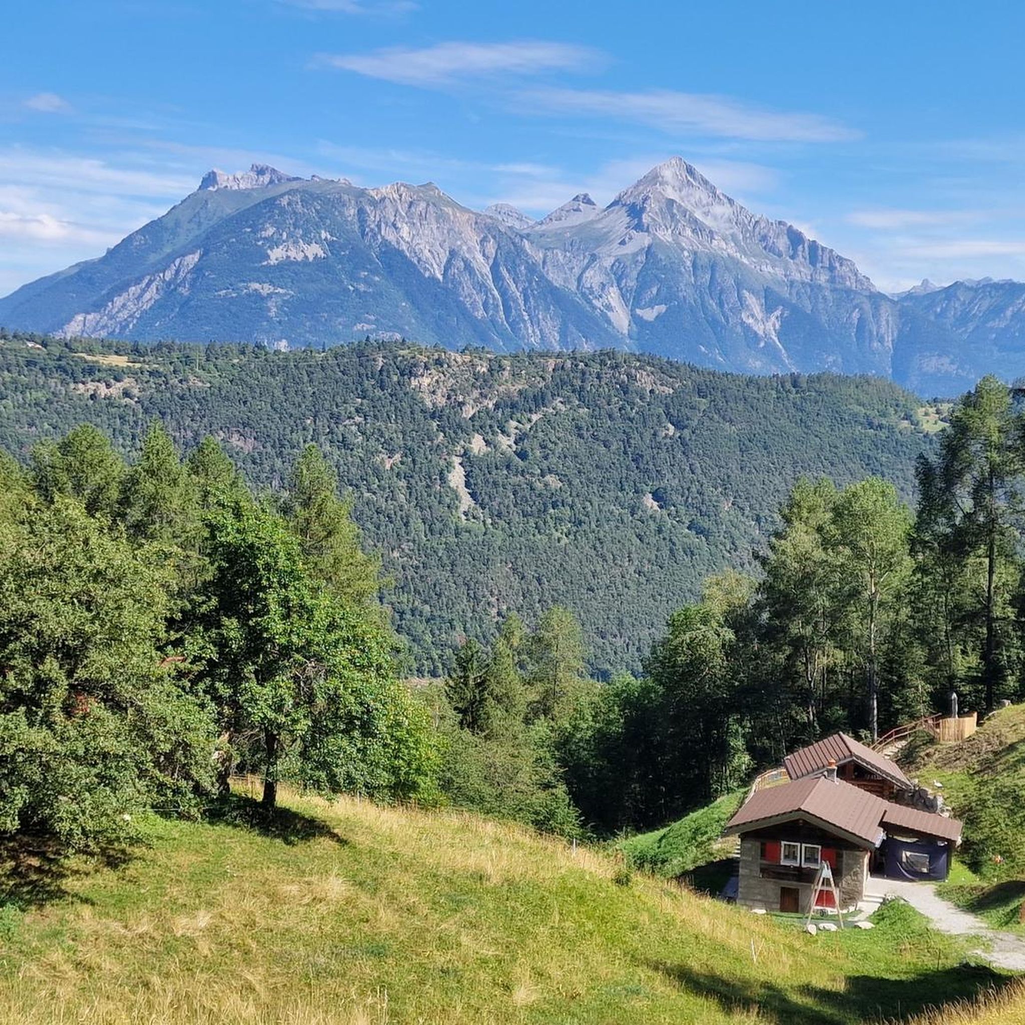
Road cycling around Bovernier offers incredibly diverse landscapes. You'll encounter lush meadows, dense forests, and breathtaking alpine panoramas with views of prominent peaks like Mont Blanc, the Catogne, and Mont Dolent. The region's terrain includes significant elevation changes, from the dramatic Gorges du Durnand to the serene Lac de Champex.
What are some interesting landmarks or attractions to see along the road cycling routes?
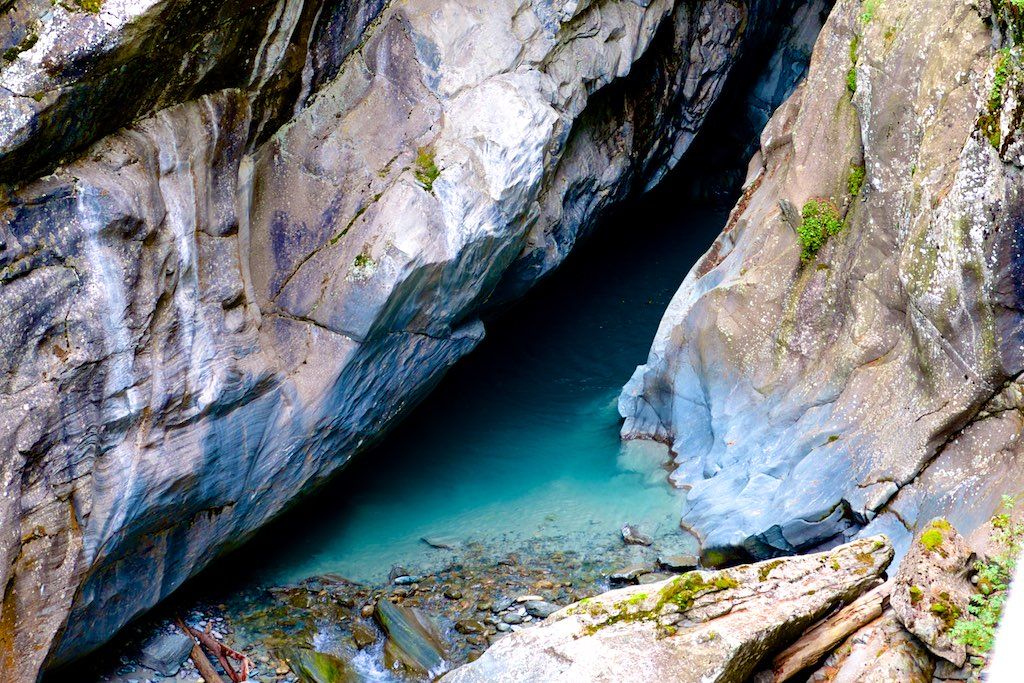
Many routes pass by or offer access to stunning natural attractions. You can experience the magical Gorges du Durnand Waterfalls, a spectacular natural wonder. Other notable sights include the serene Val Ferret and the impressive Pissevache Waterfall. Some routes also offer views of the Pierre Avoi Summit.
What is the best time of year for road cycling in Bovernier?
The best time for road cycling in Bovernier is generally during the warmer months, from late spring through early autumn. This period offers the most favorable weather conditions for tackling both valley rides and the higher Alpine passes, ensuring clear roads and stunning views.
Are there any circular road cycling routes around Bovernier?
Yes, many of the routes around Bovernier are designed as loops, allowing you to start and end in the same location. For example, the Champex-Lac – Lake Champex loop from Bovernier is a popular circular route that takes you through varied terrain and offers a rewarding experience.
What do other road cyclists say about the routes in Bovernier?
The road cycling routes in Bovernier are highly rated by the komoot community, with an average score of 4.6 stars from over 150 reviews. Cyclists often praise the diverse landscapes, the challenging yet rewarding ascents to iconic passes like Col de Champex, and the stunning Alpine panoramas.
Is public transport available to access cycling routes in Bovernier?
Bovernier is located on the important Grand Saint-Bernard route, which implies good connectivity. While specific public transport links directly to trailheads are not detailed, the region's integration into a wider network suggests that public transport options, such as trains or buses to nearby towns like Martigny, could provide access points for cyclists.
Where can I find parking for my car when road cycling in Bovernier?
While specific parking locations for cyclists are not detailed, Bovernier is a municipality at the entrance to Val d'Entremont. It's advisable to look for public parking areas within Bovernier or in nearby towns like Martigny, especially near train stations or main village centers, which often cater to visitors and outdoor enthusiasts.
Are there any cafes or places to stop for refreshments along the road cycling routes?
The region around Bovernier, including destinations like Champex-Lac, is known for its charming alpine villages. Champex-Lac, for instance, is a beautiful alpine village nestled between a lake and mountains, making it a rewarding destination or a scenic break point where you can expect to find cafes and other refreshment options.
Can I find accommodation suitable for bikers in Bovernier?
Bovernier and the surrounding Valais canton are popular tourist destinations for outdoor activities. While specific biker-friendly accommodations are not listed, you can generally find various lodging options, from hotels to guesthouses, in Bovernier and nearby towns like Martigny or Champex-Lac, which cater to visitors exploring the region by bike.
Are there any routes that connect to longer-distance cycling trails?
Yes, Bovernier is connected to significant long-distance routes. It provides access to the famous Tour du Mont-Blanc and is also part of the Via Francigena, indicating its integration into a wider network of scenic and challenging trails suitable for both hiking and cycling.
Most popular routes around Bovernier
Most popular attractions around Bovernier

Get inspired with the komoot mobile app


Explore more
Browse the best Road cycling routes in other regions.
