The best walks and hikes around Campezo / Kanpezu
4.6
(136)
804
hikers
38
hikes
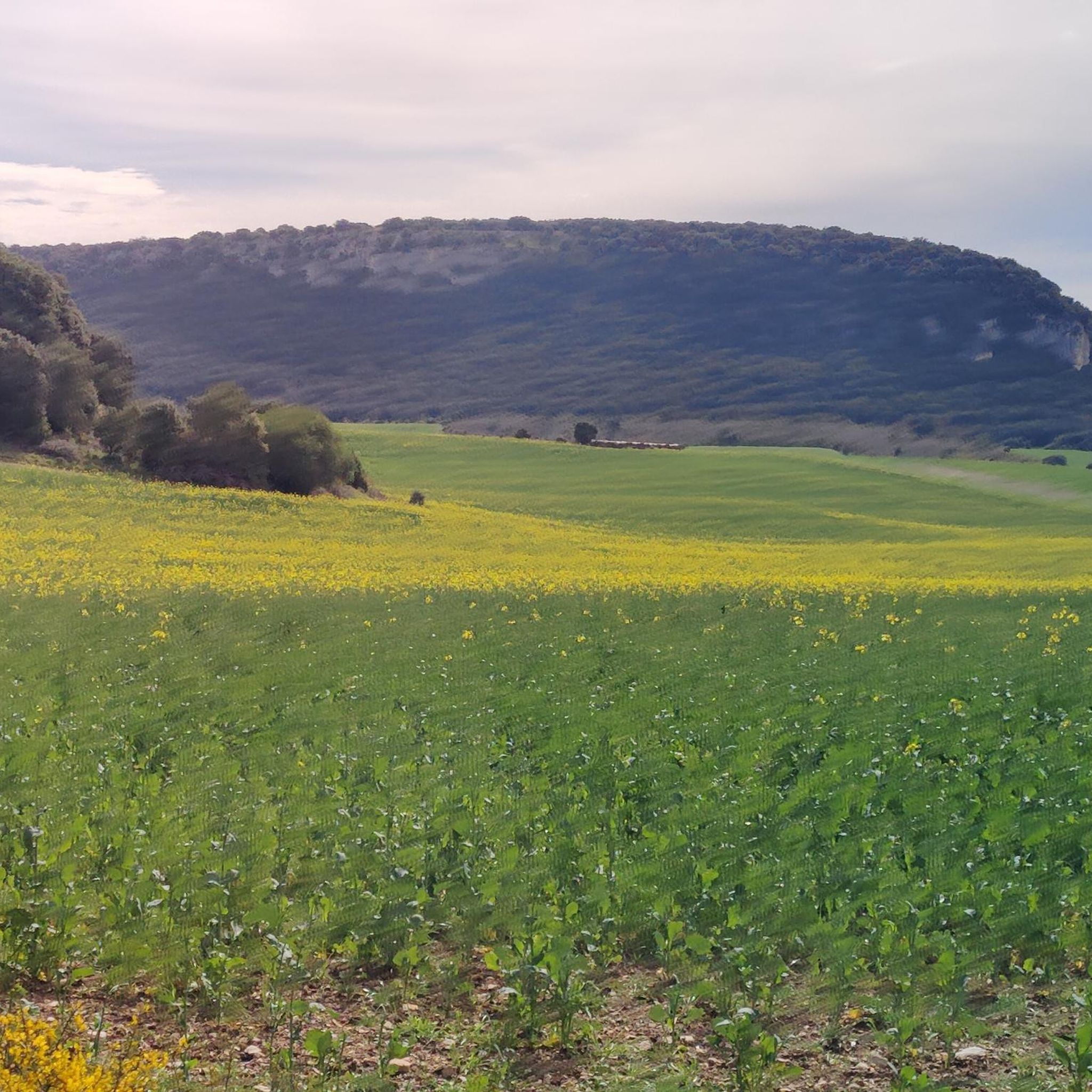
Hiking around Campezo / Kanpezu offers diverse natural landscapes within the historical territory of Álava in the Basque Country. The region is characterized by mountainous terrain, including the Codés Range and Sierra de Lokiz, alongside the Ega River. Hikers encounter extensive beech forests, gall oak woodlands, and dramatic limestone ridges, particularly within the Izki Natural Park.
Best hiking trails around Campezo / Kanpezu
- The most popular hiking route is Cima del Joar via the historic trail of Álava — circular…
Last updated: July 27, 2026
6
hikers
Hard hike. Very good fitness required. Mostly accessible paths. Sure-footedness required.
4.1
(8)
66
hikers
Hard hike. Very good fitness required. Mostly accessible paths. Sure-footedness required.

Sign up for free
5.0
(8)
25
hikers
4.84km
01:21
90m
90m
Easy hike. Great for any fitness level. Easily-accessible paths. Suitable for all skill levels.
4.7
(6)
23
hikers
9.97km
02:56
280m
280m
Moderate hike. Good fitness required. Easily-accessible paths. Suitable for all skill levels.
4.3
(3)
19
hikers
6.86km
02:24
370m
370m
Moderate hike. Good fitness required. Easily-accessible paths. Suitable for all skill levels.
Get access to more routes and recommendations from other explorers.
Sign up for free
Already have an account?
Our route recommendations are based on thousands of hikes, rides, and runs completed by other people on komoot.
Start today with a free account
Your next adventure awaits.
Login or Signup
Popular around Campezo / Kanpezu
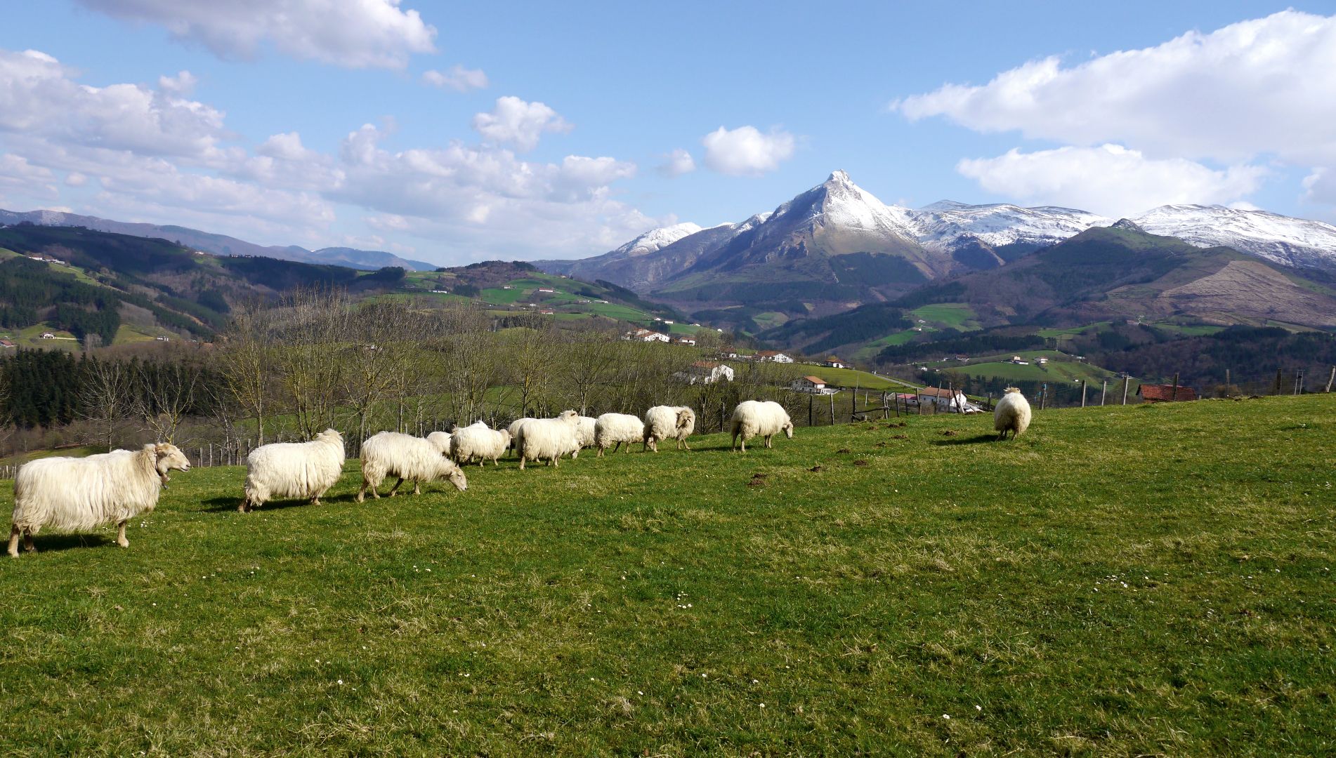
Mountains with tradition in Spain’s Basque Country – Shepherd's Path (GR 282)
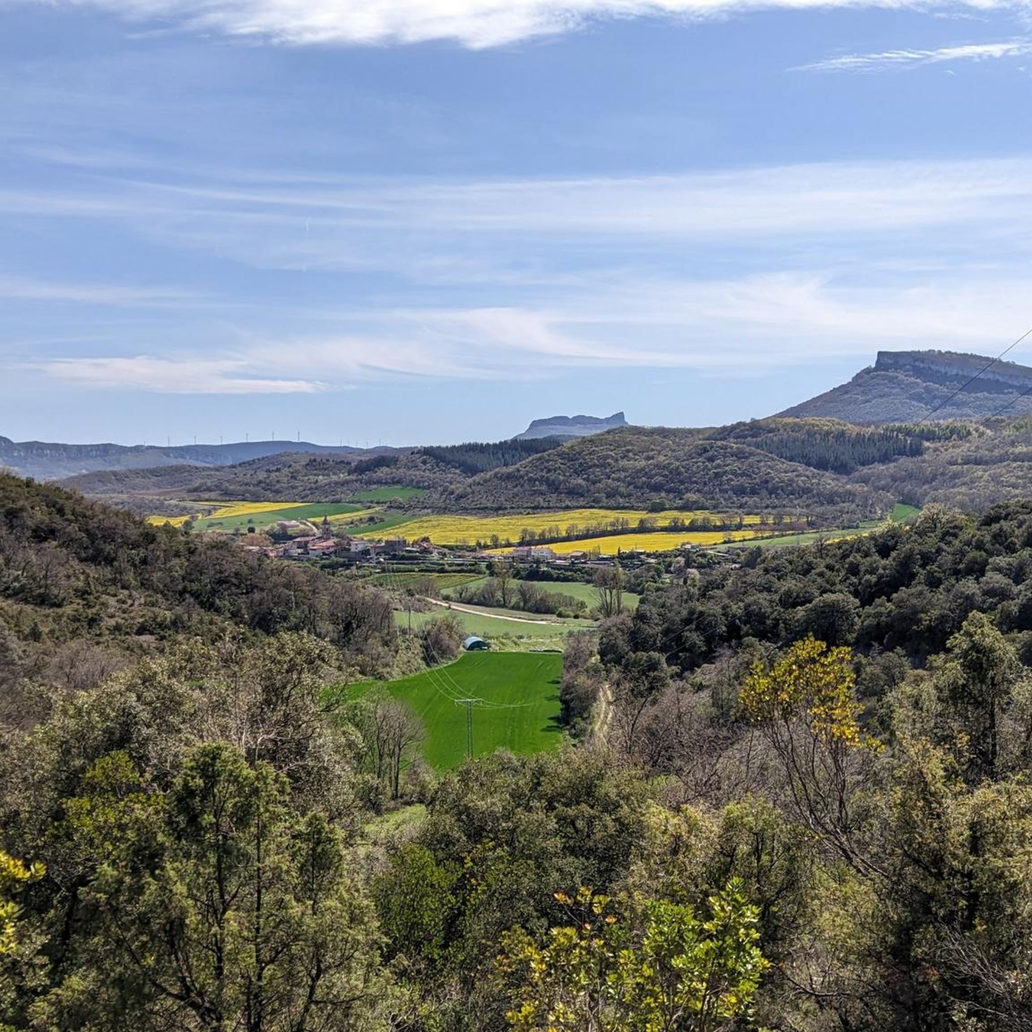
MTB Trails around Campezo / Kanpezu
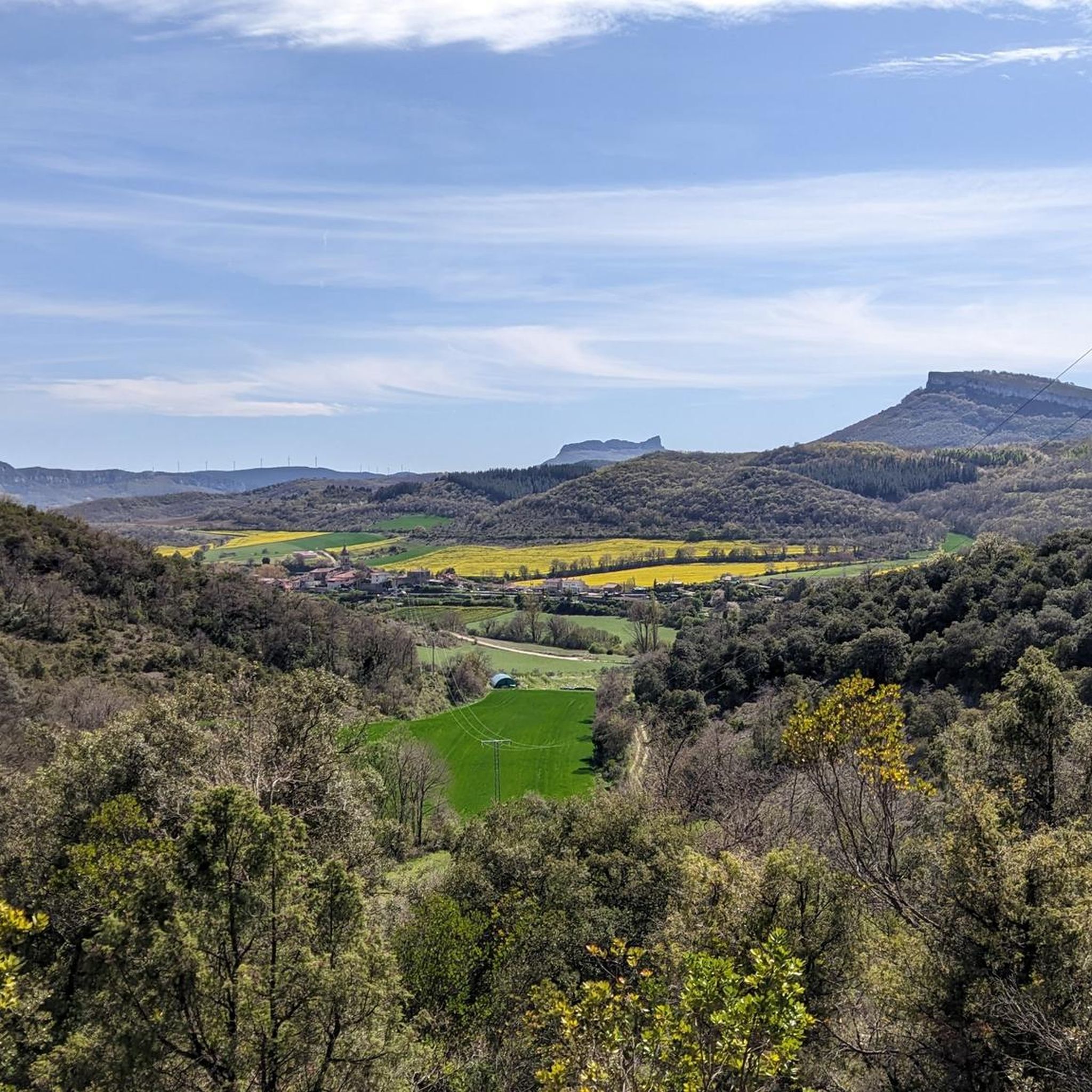
Cycling around Campezo / Kanpezu
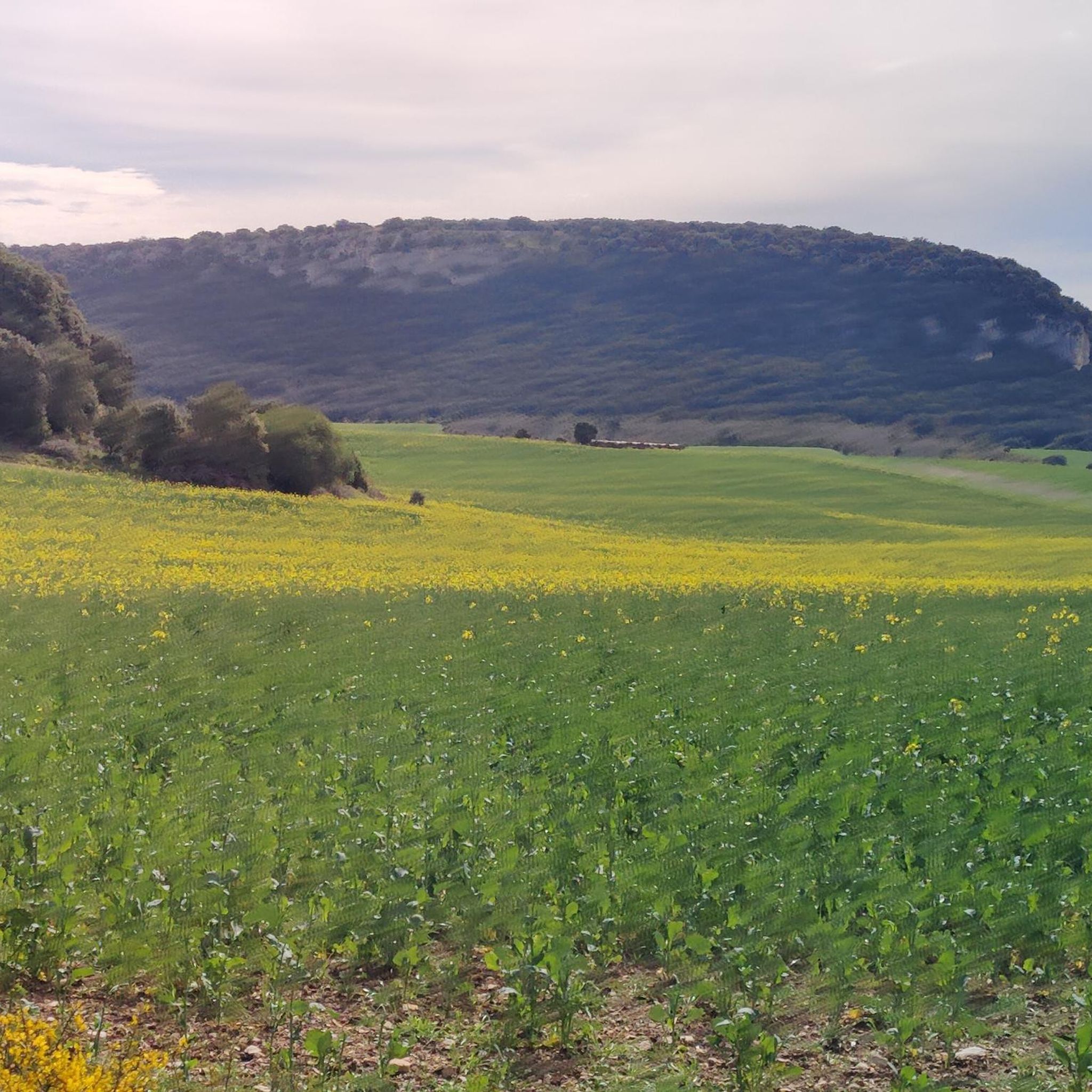
Road Cycling Routes around Campezo / Kanpezu
Running Trails around Campezo / Kanpezu

Gravel biking around Campezo / Kanpezu

Mountain Hikes around Campezo / Kanpezu
Other adventures around Campezo / Kanpezu

Tips from the Community

impressive views of the vultures and the ravine
1
0

Santa Cruz de Campezo, or Santikurutze Kanpezu, is a beautiful village in the Álava Mountains, situated beside the Ega River. With its historic stone center and the Church of the Assumption as a highlight, it combines history and nature in a peaceful setting. It offers all basic amenities and is a good starting point for exploring the nearby valleys and mountains.
1
0

Hermitage with views and a large bar-restaurant
0
0

The trail runs through the beech forest and ends at Joar Peak (1,417 m), the highest point in the Codés mountain range. The summit houses a telecommunications center and antennas of all kinds. There is also the service lane that ascends from Santa Cruz de Campezo, used by mountain bikers. The geodetic vertex is next to the antennas, but the stop is a few meters further on, at the cliffs where the sculptures and the best views are located. The atmosphere is magnificent on both sides. The route returns along the same path and descends again through the beech forest to begin the ascent to La Plana Peak.
0
0
The route follows the red and white GR-1 markings to the plain of La Llana Pass. At several points, other trails appear, but they are shortcuts, variants, or detours to different parts of the mountain range. The path is easy to follow despite the steep slope and the loose stone scree. The trail passes near the impressive limestone tower of Peña de los Cencerros and continues toward the mouth of the two prominent peaks of the mountain range at the entrance to the La Llana plateau. At the GR-1 marker, a path leads off to each side, and the Historic Trail continues straight ahead to Santa Cruz de Campezo. The climb to the summit of Joar begins along the path on the left, first through bushes and then through a welcoming beech forest nestled in the limestone slope of the mountain's north face. These unique forests are isolated near the peaks and are the southernmost beech forests in Navarre.
0
0

Shelter in a magnificent location. It's not in bad condition, but it needs some improvements to make it an excellent shelter.
0
0
Frequently Asked Questions
How many hiking trails are available in Campezo / Kanpezu?
There are currently 38 hiking trails recorded in Campezo / Kanpezu. These include 10 easy routes, 19 moderate paths, and 9 challenging hikes, offering options for various skill levels and preferences.
What kind of landscapes can I expect to see while hiking in Campezo / Kanpezu?
Hikers in Campezo / Kanpezu will encounter a diverse range of landscapes, from extensive beech forests and gall oak woodlands to dramatic limestone ridges and formations. The region is characterized by mountainous terrain, including the Codés Range and Sierra de Lokiz, with the Ega River adding to its natural beauty. The Izki Natural Park, in particular, offers a wide array of distinct natural features.
Are there any easy or family-friendly hiking routes in the area?
Yes, there are several easy routes suitable for families or those seeking a less strenuous walk. A popular option is the Aguaque Waterfall loop from Antoñana, which is 3.0 miles (4.8 km) long and leads through natural beauty to a waterfall. Another moderate option is the Oteo Waterfall – Sabando Waterfall loop from Antoñana, which is 9.9 miles (16 km) long and also features waterfalls.
Where can I find waterfalls along the hiking trails?
The region is home to several picturesque waterfalls. You can explore the Aguaque Waterfall loop from Antoñana for an easy walk. For a slightly longer, moderate hike, consider the Oteo Waterfall – Sabando Waterfall loop from Antoñana. Other notable waterfalls in the broader area include Igoroin Waterfalls and Sabando Waterfall.
What do other hikers say about the trails in Campezo / Kanpezu?
The routes in Campezo / Kanpezu are highly rated by the komoot community, with an average score of 4.6 stars from over 120 reviews. Hikers often praise the diverse terrain, from shaded beech forests to impressive cliffs, and the well-marked paths that cater to various ability levels.
Are there any challenging hikes for experienced trekkers?
Yes, for experienced hikers, the region offers challenging ascents to prominent peaks. The Cima del Joar via the historic trail of Álava is a difficult 10.4 miles (16.8 km) circular route that ascends to Joar Peak, offering panoramic views. Another demanding option is the Joar Summit (1,414 m) – Ioar loop from Santa Cruz de Campezo / Santikurutze Kanpezu, a difficult 9.7 miles (15.6 km) path to the highest point in the Codés mountain range.
Are there any unique attractions or landmarks to explore along the trails?
Beyond the natural beauty, you can discover several unique attractions. The Leorza-Cicujano Tunnel, part of an old greenway, has been restored and decorated with 45 murals depicting local life. You can also visit the charming medieval town of Santa Cruz de Campezo or the nearby village of Antoñana, a National Monument Complex. For stunning views, consider the Sleeping Lion Peak (Lapoblación Castle).
Can I find circular hiking routes in Campezo / Kanpezu?
Yes, the area features several excellent circular routes. For a challenging experience, the Cima del Joar via the historic trail of Álava is a popular circular option. For a moderate hike with scenic views, the Izki Gorge Viewpoint – Soila loop from Antoñana offers a 6.8 miles (11 km) circular path.
What is the best time of year to go hiking in Campezo / Kanpezu?
Campezo / Kanpezu offers great hiking opportunities throughout the year. Spring brings lush greenery and flowing waterfalls, while autumn transforms the extensive beech and oak forests into a spectacle of colors. Summer is ideal for higher altitude hikes, and even winter can be beautiful, especially in the lower valleys, though some higher routes may require appropriate gear for snow or ice.
Are there opportunities for wildlife spotting in the region?
Yes, the diverse ecosystems of Campezo / Kanpezu, especially within the Izki Natural Park, provide excellent opportunities for wildlife spotting. The rugged limestone formations, such as Costalera, are significant for rupicolous birds. Hikers might also encounter various forest animals in the extensive beech and oak woodlands.
Are there any viewpoints offering panoramic vistas?
Absolutely. The region is known for its stunning panoramic views. The ascent to Joar Peak (1,417 m) offers rewarding vistas, as does Pico León Dormido (Castillo de Lapoblación) above 1,300 meters. The Izki Gorge Viewpoint, accessible via a moderate loop from Antoñana, provides scenic vistas of the Izki Gorge itself.
Most popular routes around Campezo / Kanpezu
Most popular attractions around Campezo / Kanpezu

Get inspired with the komoot mobile app


Explore more
Browse the best Hikes in other regions.
