The best running trails around Guixers
4.3
(20)
1,832
runners
152
runs
Jogging around Guixers offers routes through a landscape characterized by significant elevation changes, valleys, and historical sanctuaries. The region features challenging terrain with numerous difficult running paths. These routes often traverse natural areas, providing varied running experiences.
Best jogging routes around Guixers
- The most popular jogging route is Running Santuario de Lord — Valle de Lord, a 4.8 miles (7.7 km) trail that takes 1 hour 20 minutes to complete, offering views across the Valle de Lord.
- Another top…
Last updated: October 6, 2026
2
runners
7.71km
01:20
420m
420m
Hard run. Very good fitness required. Sure-footedness, sturdy shoes and alpine experience required.
22
runners
20.3km
03:19
1,040m
1,040m
Hard run. Very good fitness required. Sure-footedness, sturdy shoes and alpine experience required.

24
runners
Hard run. Very good fitness required. Sure-footedness, sturdy shoes and alpine experience required.
20
runners
Hard run. Very good fitness required. Mostly paved surfaces. Suitable for all skill levels.
17
runners
Hard run. Very good fitness required. Sure-footedness, sturdy shoes and alpine experience required.
Get access to more routes and recommendations from other explorers.
Already have an account?
Our route recommendations are based on thousands of hikes, rides, and runs completed by other people on komoot.
Start today with a free account
Your next adventure awaits.
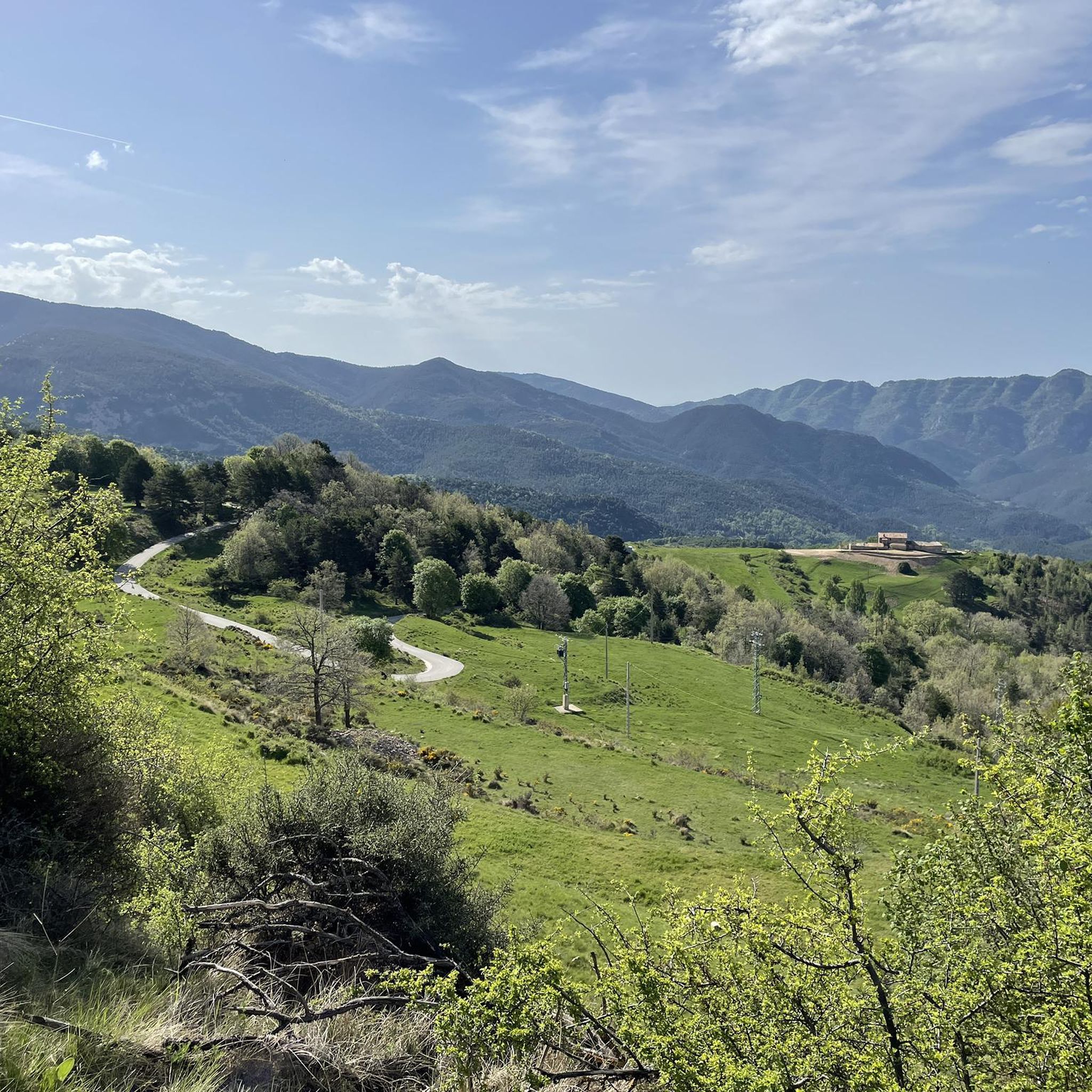
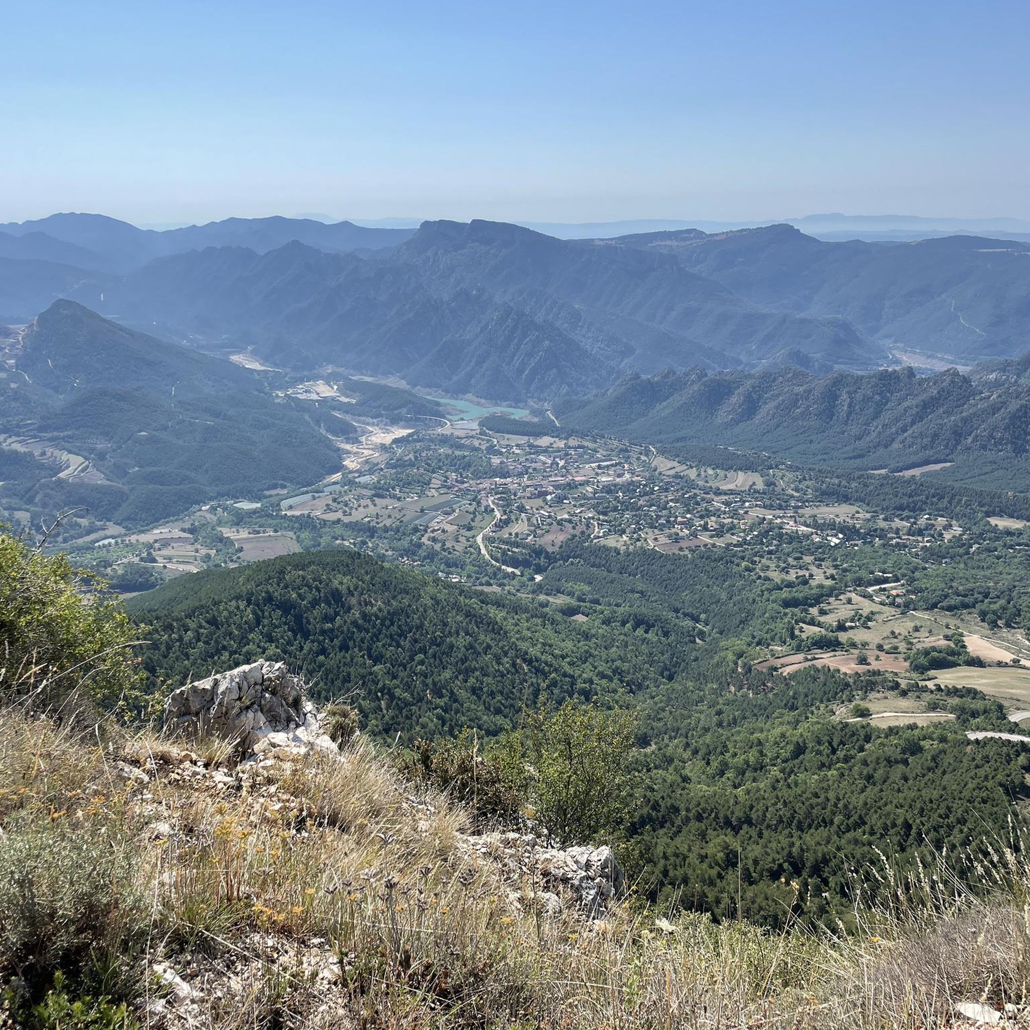
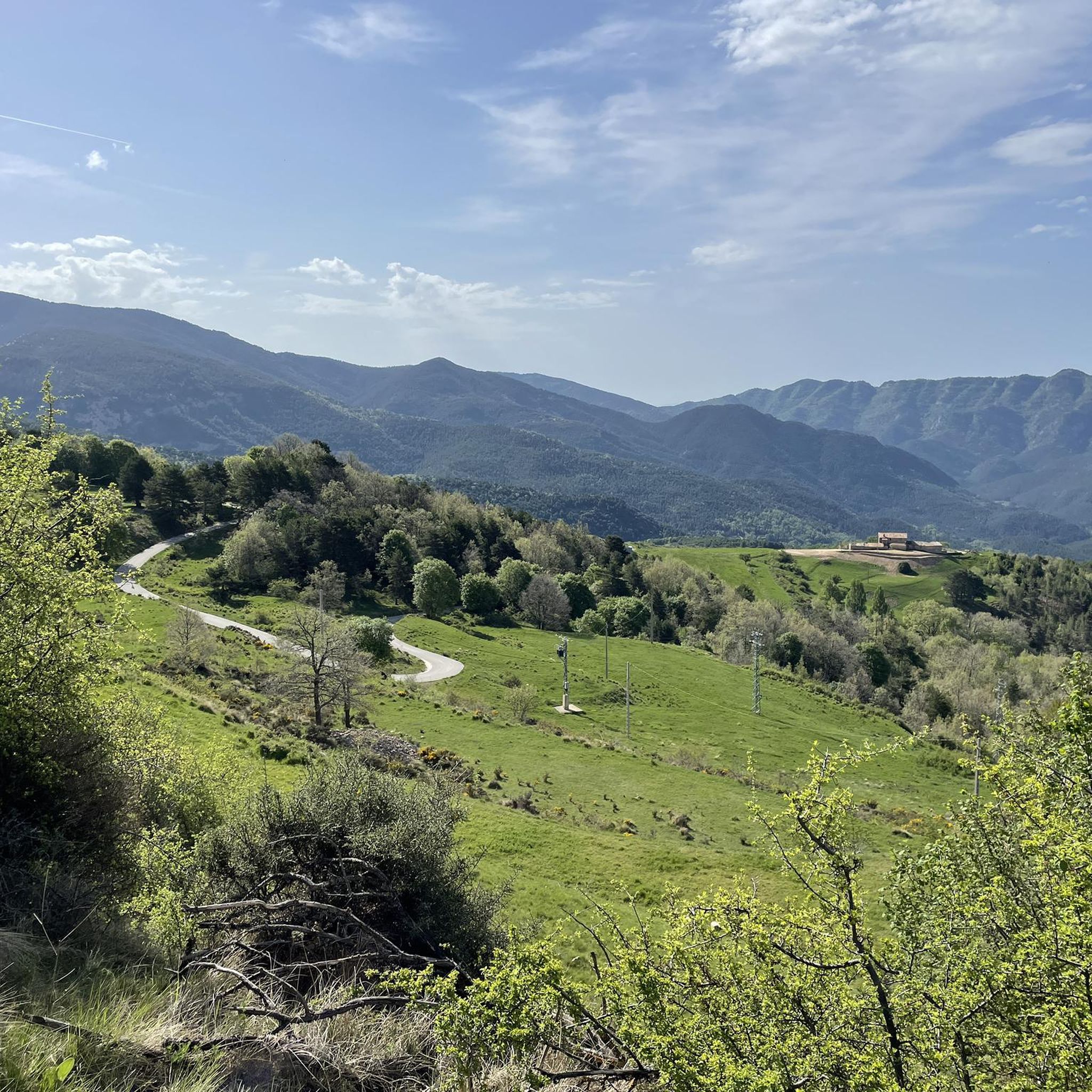
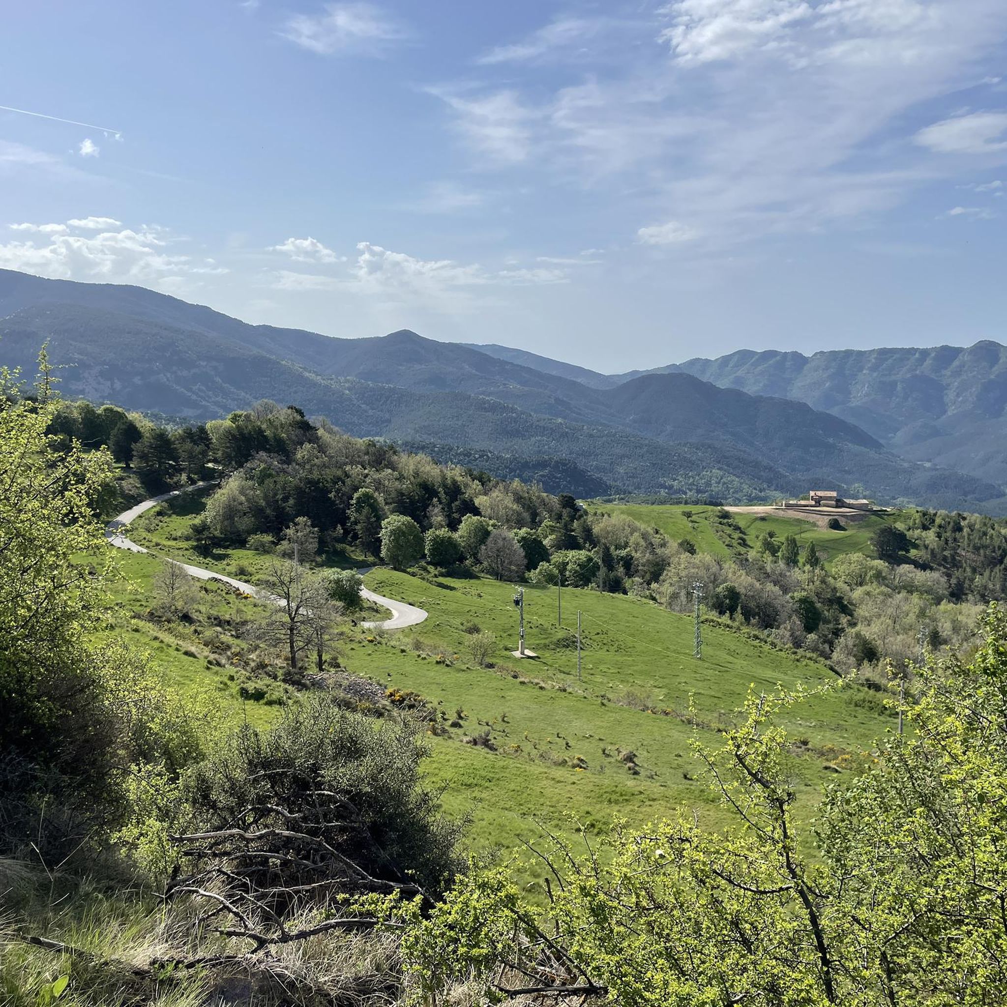

Tips from the Community

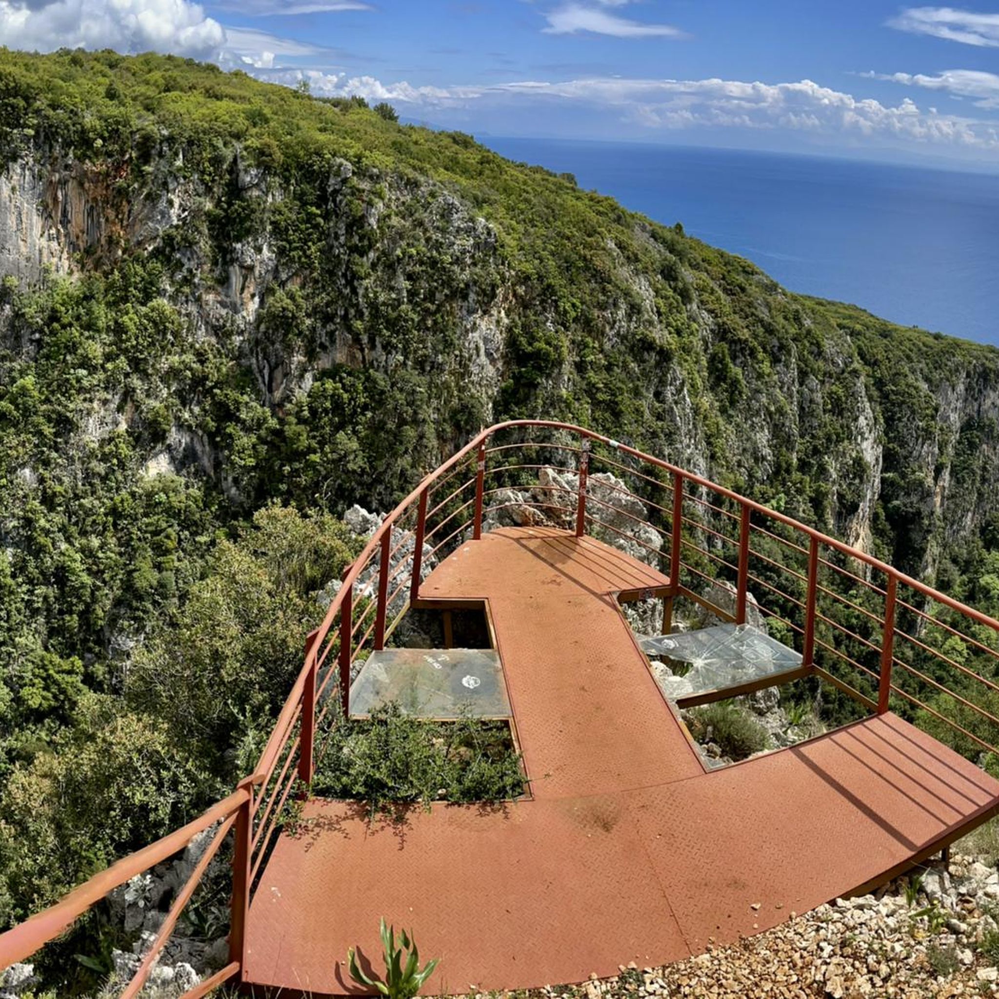
Important note regarding the descent: The descent has an overall gradient of about 20%. After the viewpoint, there is first a section of path that is narrow and very slippery. This is suddenly followed by a climbing passage. Overall, I would rate the route as difficult rather than moderately difficult.
0
0

Sant Llorenç de Morunys is a town in the Solsonès region located at 925 metres above sea level, surrounded by the Port del Comte, Busa and Verd mountain ranges. It has a well-preserved medieval centre, with walls, cobbled streets and the 11th-century Romanesque church of Sant Llorenç, as the centre of the complex. It is a key point of passage and stop for mountain routes, cycle tours and crossings through the Pre-Pyrenees. The entrance and exit of the town can be done via roads with demanding slopes or forest tracks depending on the itinerary, but it is always worth stopping there to recover energy, fill up water bottles or take a quality break. A good place to charge batteries, both physical and e-bike.
1
0


Sant Llorenç de Morunys is a curious mountain town in the Solsonés region. If you are on the road here, do not hesitate to make a stop and recharge your batteries at any of its establishments.
1
0

Source that can get you out of trouble.
0
0


It is said that in the past, people used to go to these sources to drink from them for nine consecutive days with the intention of curing their ailments. Although bathing can be beneficial for skin conditions, it is best to refrain from swallowing it.
1
0

Coll de Jou is a mountain pass located at an altitude of 1,461 meters in the heart of the Vall de Lord. A few meters away there is a viewpoint with impressive views of the mountains and a churrería.
2
0
Frequently Asked Questions
How many running routes are available around Guixers?
There are over 120 running routes documented around Guixers on komoot. The region is known for its challenging terrain, with the vast majority of these paths rated as difficult.
Are there any easy jogging routes in Guixers for beginners?
Guixers is primarily characterized by challenging terrain with significant elevation changes, making most routes suitable for experienced runners. There are no routes currently categorized as 'easy' in the komoot guide, and only 19 are rated 'moderate', with over 110 considered 'difficult'.
What kind of scenery can I expect on the running trails in Guixers?
The running trails in Guixers offer diverse scenery, including scenic valleys and routes that pass by historical sanctuaries. You can also find impressive natural features like the Bald Hen Peak and the El Collell Pass, offering stunning views of the surrounding landscape.
Are there any circular running routes in the Guixers area?
Yes, many of the running paths in Guixers are circular. For example, the route Sanctuary of Lord – Sant Llorenç de Morunys loop from Sant Llorenç de Morunys offers a challenging 8.3-mile loop through the area.
Can I find running routes with waterfalls near Guixers?
Yes, you can discover routes that feature natural attractions like waterfalls. Consider the Sant Llorenç de Morunys – La Coma Waterfall loop from Sant Llorenç de Morunys, a 14.7 km (9.1 miles) route that includes a waterfall.
What do other runners say about the trails in Guixers?
The running routes in Guixers are highly regarded by the komoot community, holding an average rating of 4.8 stars from over 10 reviews. Runners frequently praise the challenging ascents, scenic valleys, and the opportunity to pass by historical sanctuaries.
Are there any historical or religious sites along the running paths?
Absolutely. The region is known for its historical sanctuaries. The popular route Running Santuario de Lord — Valle de Lord, for instance, takes you past the Santuario de Lord. Another significant site is the Queralt Sanctuary, which can be explored in the wider area.
Are there any running routes that offer viewpoints in Guixers?
Many routes in Guixers provide excellent viewpoints due to the region's mountainous terrain. The Tossal de Vall-llonga – Mirador del Colader loop from Sant Llorenç de Morunys is a great option, specifically mentioning a 'Mirador' (viewpoint) in its name, offering panoramic vistas.
What is the typical duration for a running route in Guixers?
The duration varies depending on the route's length and difficulty. For example, the Running Santuario de Lord — Valle de Lord route, at 4.8 miles (7.7 km), typically takes about 1 hour 20 minutes to complete. Longer, more difficult routes can take over 2 hours, such as the Sant Llorenç de Morunys – Canal of Canalda loop from Sant Llorenç de Morunys, which is around 2 hours 12 minutes.
Are there any huts or refuges near the running trails in Guixers?
Yes, the area around Guixers features several huts and refuges that can be useful for longer runs or as points of interest. Notable examples include the Lluís Estasen Refuge and the Rasos de Peguera Refuge.
What is the best time of year for running in Guixers?
Given the significant elevation changes and challenging terrain, spring and autumn generally offer the most pleasant conditions for running in Guixers, with milder temperatures. Summers can be warm, and winters may present snow and ice at higher elevations, requiring appropriate gear and caution.
Most popular routes around Guixers
Most popular attractions around Guixers

Get inspired with the komoot mobile app


Explore more
Browse the best Running Trails & Routes in other regions.
