The best walks and hikes around Etxalar
4.7
(421)
2,060
hikers
27
hikes
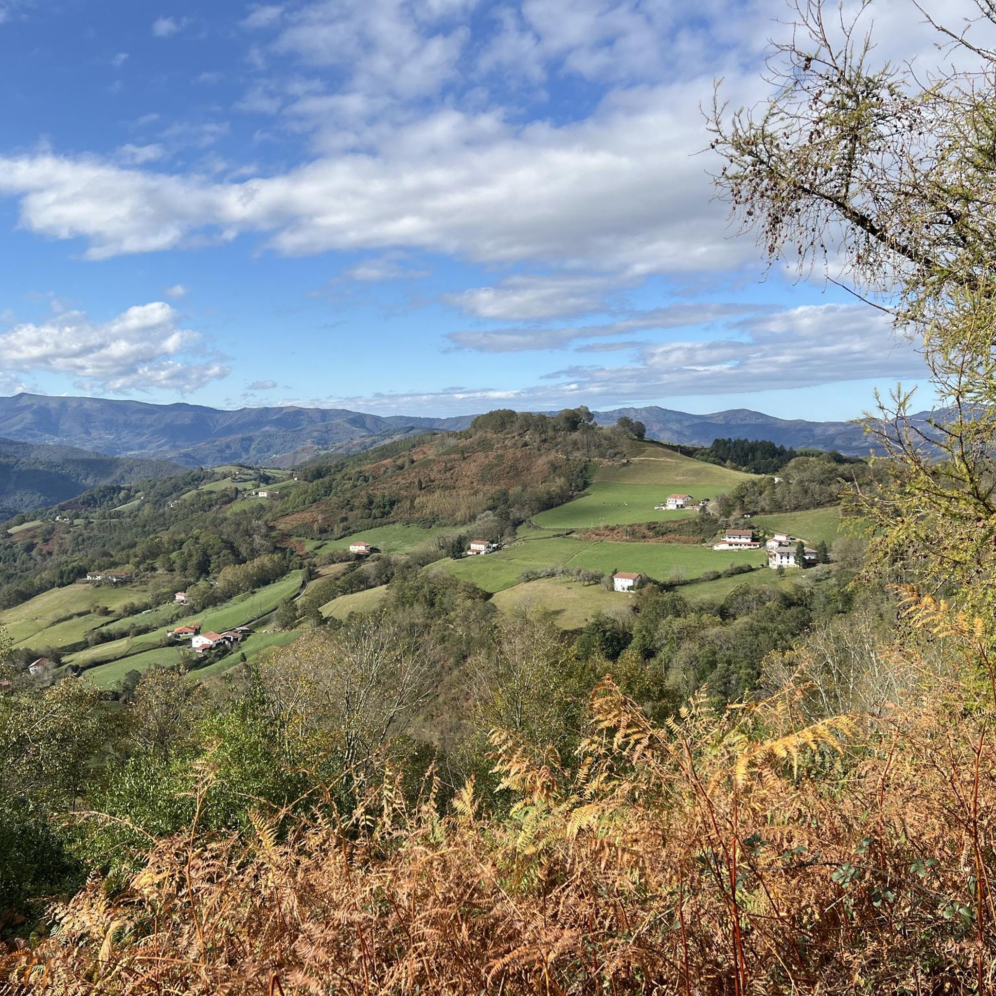
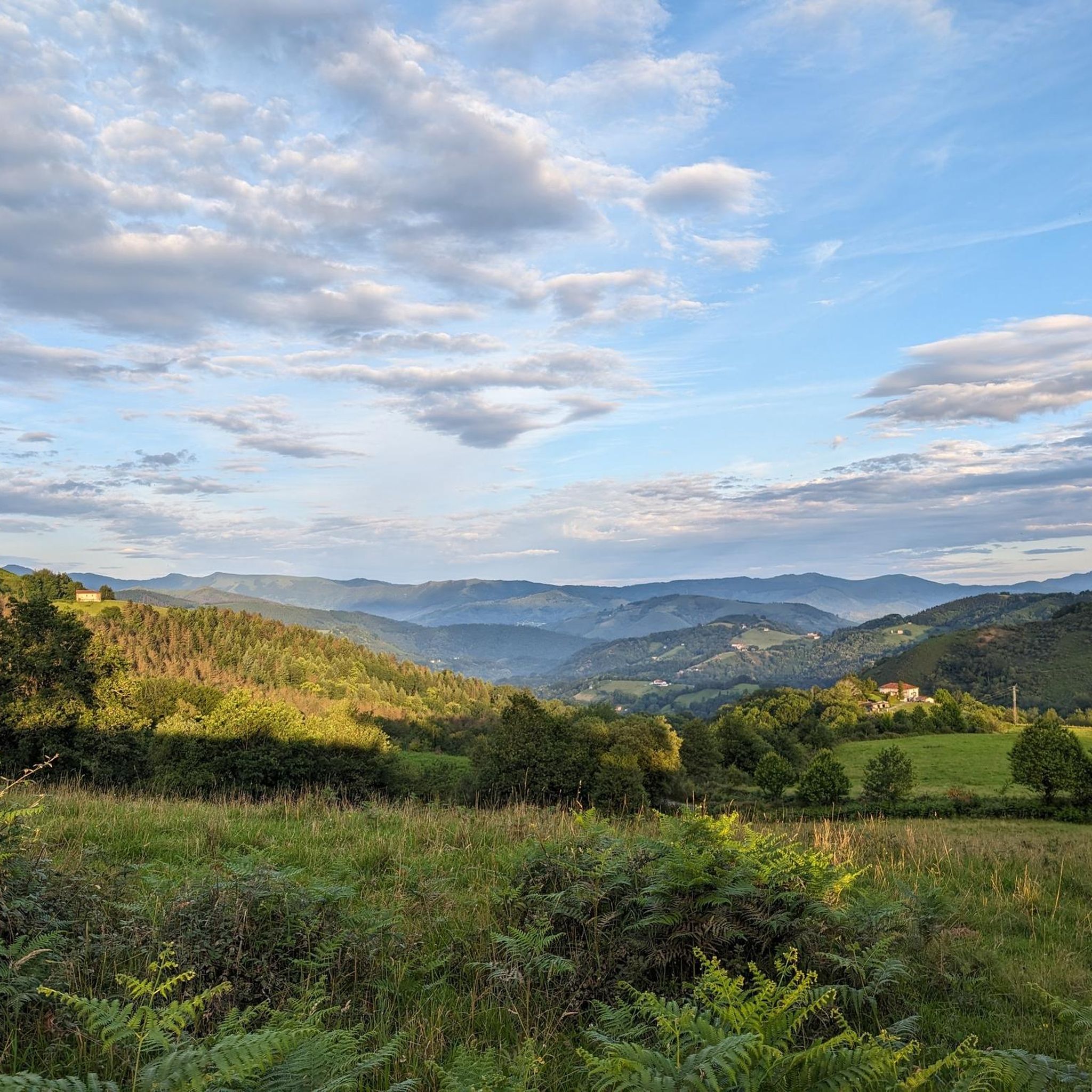
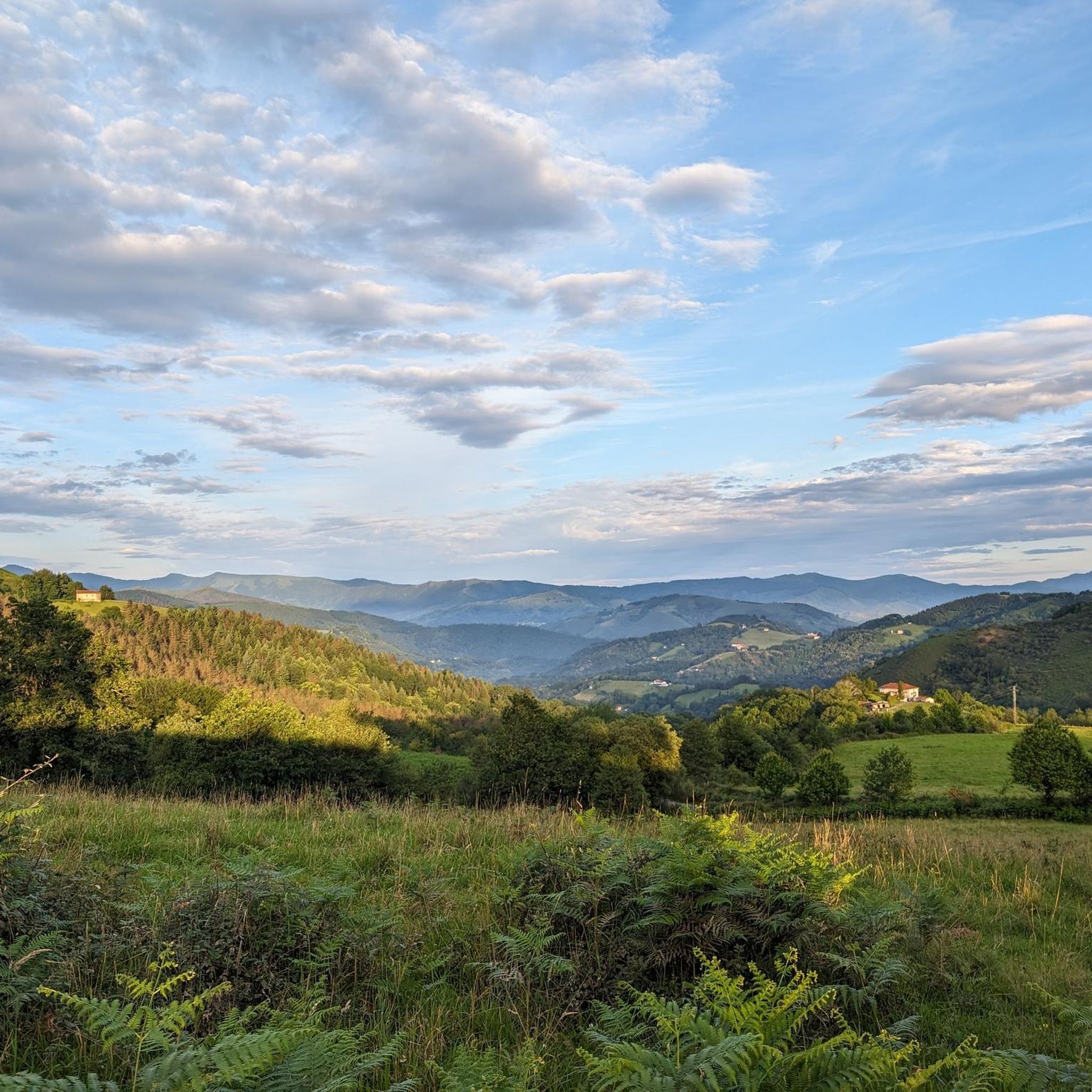
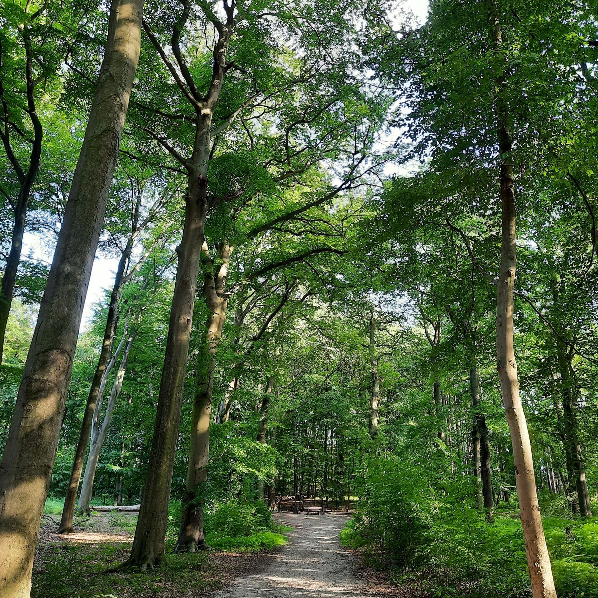
Hiking around Etxalar offers diverse landscapes within the Pyrenean foothills, characterized by varying elevations and dense woodlands. The region features rolling hills and lush forests, with the River Bidasoa contributing to scenic riverside paths. This area provides a range of hiking experiences, from gentle walks to more challenging mountain trails.
Best hiking trails around Etxalar
- The most popular hiking route is Usategieta / Las palomeras – circular from Lizarrieta to Col de Nabarlatz, a 3.3 miles (5.3 km) trail…
Last updated: August 5, 2026
4.7
(22)
74
hikers
5.26km
01:34
150m
150m
Easy hike. Great for any fitness level. Easily-accessible paths. Suitable for all skill levels.
4.7
(24)
173
hikers
9.93km
03:40
600m
600m
Moderate hike. Good fitness required. Mostly accessible paths. Sure-footedness required.

Sign up for free
4.4
(13)
56
hikers
11.1km
04:02
680m
680m
Moderate hike. Good fitness required. Easily-accessible paths. Suitable for all skill levels.
4.8
(8)
53
hikers
7.70km
02:10
160m
160m
Moderate hike. Good fitness required. Easily-accessible paths. Suitable for all skill levels.
4.7
(7)
39
hikers
18.9km
07:21
1,060m
1,060m
Hard hike. Very good fitness required. Mostly accessible paths. Sure-footedness required.
Get access to more routes and recommendations from other explorers.
Sign up for free
Already have an account?
Our route recommendations are based on thousands of hikes, rides, and runs completed by other people on komoot.
Start today with a free account
Your next adventure awaits.
Login or Signup

Other adventures around Etxalar

Tips from the Community

This is a great rest area where the Pyrenees HRP / GR11 trail intersects with a drivable road. There are two bars available, though only one is open in the morning, the second seems more geared towards the dinner crowd. They serve both food and drinks, but be warned: *payment is cash only* as they do not accept cards (information accurate as of 2026). Because of the easy road access, it's a lively spot where hikers and cyclists often cross paths. Best of all, right next to the road, there is a highly convenient drinking water fountain and public restrooms. Definitely a useful waypoint on the trail!
1
0
Originally designed as a hangout for hardcore hunters, this shelter offers an exclusive bivouac area with 100% free of charge! The architectural design screams "refined post-apocalyptic spartan." Forget about memory foam mattresses and goose-down pillows... here you'll be treated to prestigious solid concrete slabs, highly recommended by top osteopaths to brutally realign your spine after a long day's hike. The house bar features two vintage tanks serving a premium, locally sourced selection of zero-mile gutter rainwater, strictly served at room temperature.
2
0


The train to La Rhune. Perfect for children.
0
0


The bivouac room is open. Rainproof seating is provided in front. (April 2025)
0
0

Frequently Asked Questions
How many hiking trails are available around Etxalar?
There are over 25 hiking trails around Etxalar, offering a range of experiences from easy walks to more challenging mountain ascents. The extensive network of routes caters to different ability levels, ensuring there's something for everyone.
Are there easy hiking trails suitable for beginners or families in Etxalar?
Yes, Etxalar offers several easy routes. For a gentle introduction, consider the Usategieta / Las palomeras – circular from Lizarrieta to Col de Nabarlatz, an easy 3.3-mile (5.3 km) trail. The region also features the Bidasoa greenway, a nearly level 40 km path along a former train track, perfect for leisurely walks.
What kind of natural attractions can I see while hiking in Etxalar?
Etxalar's trails lead through diverse landscapes including Pyrenean foothills, dense woodlands, and scenic riverside paths along the River Bidasoa. You can explore natural features like the Infernuko Errota (Mill of Hell) and the Xorroxin Waterfall in nearby Erratzu. For panoramic views, routes ascend to summits like Ibanteli and La Rhune.
Are there any challenging routes for experienced hikers?
Yes, for those seeking a challenge, Etxalar provides more demanding treks. The View of La Rhune's summit – La Rhune Summit loop from Lizarrietako lepoa is a difficult 11.8-mile (19 km) route with significant elevation gain, offering extensive views from the summit. Sections of the long-distance GR 11 also pass through the area, providing options for longer, more strenuous hikes.
Are there circular hiking routes available in Etxalar?
Many of Etxalar's routes are circular, allowing you to start and end in the same location. Popular options include the Ibanteli – Ibanteli 698 m loop from Lizarrietako lepoa, a moderate 6.3-mile (10.1 km) path, and the Kokori (723 m) – Mendixorrotx (596 m) loop from Etxalar, which is 6.9 miles (11.1 km) long.
What is the best time of year to go hiking in Etxalar?
The Pyrenean foothills around Etxalar offer pleasant hiking conditions during spring, summer, and early autumn. These seasons provide milder temperatures and lush scenery. While winter hiking is possible, some higher routes may require appropriate gear due to snow or ice.
What do other hikers enjoy most about hiking in Etxalar?
The area is highly rated by the komoot community, with an average score of 4.8 stars from over 300 reviews. Hikers often praise the diverse terrain, from rolling hills and dense woodlands to scenic riverside paths, and the panoramic views from higher elevations.
Are there any notable landmarks or points of interest near the hiking trails?
Yes, beyond the natural beauty, you can find interesting landmarks. The La Rhune summit offers incredible vistas. Other points of interest include the Saint-Ignace Pass and the Notre-Dame-d'Aubépine chapel. The nearby Señorío de Bertiz Nature Park is also a significant attraction for nature lovers.
Is public transport available to access hiking trailheads in Etxalar?
While specific public transport links directly to all trailheads might be limited, Etxalar is generally accessible. It's advisable to check local bus schedules for connections to the village, from which many routes originate or are within walking distance. For more remote starting points, a car might be necessary.
Are there options for long-distance hiking in the Etxalar area?
Etxalar is a point along the GR 11, also known as the Senda Pirenaica, a significant long-distance route traversing the Spanish Pyrenees. Sections of the GR 11 around Etxalar, such as the path from Col de Lizarrieta to Elizondo, offer opportunities for multi-day treks with easy, wide paths and secluded views.
Can I find places to stay or eat near the hiking routes in Etxalar?
Etxalar itself offers various amenities including accommodation and dining options. Along some routes, you might find huts or shelters like Gîte Trapero Baita or Benta Beltza Shelter, which can be useful for longer hikes. It's always a good idea to plan your stops in advance.
What kind of wildlife might I encounter on the trails around Etxalar?
The diverse landscapes of Etxalar, including dense woodlands and river valleys, support a variety of wildlife. Hikers might spot various bird species, small mammals, and local fauna characteristic of the Pyrenean foothills. Respecting their natural habitat and maintaining a quiet presence increases your chances of an encounter.
Most popular routes around Etxalar
Most popular attractions around Etxalar

Get inspired with the komoot mobile app


Explore more
Browse the best Hikes in other regions.
