The best walks and hikes around Quesada
4.5
(366)
2,286
hikers
99
hikes
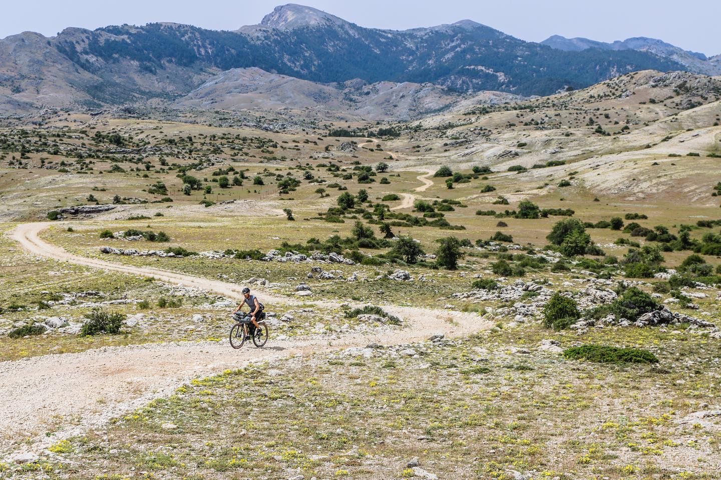
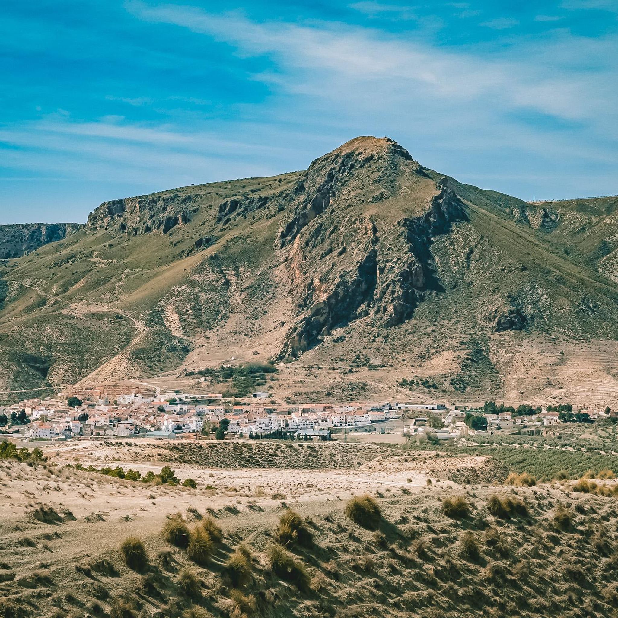
Hiking around Quesada offers diverse landscapes across two distinct regions in Spain. The municipality of Quesada in Jaén, Andalusia, is situated within the vast Sierras de Cazorla, Segura y Las Villas Natural Park, characterized by rugged karst mountains, deep valleys, and significant river systems like the Guadalquivir. Further east, Ciudad Quesada in Alicante provides trails with views of unique salt lakes, agricultural areas along the Segura River, and hills featuring historical cave dwellings. The terrain varies from challenging mountain paths to more relaxed walks through natural parks.
Best hiking trails around Quesada
- The most popular hiking route is Río Cerezuelo Trail, a 3.0 miles (4.8 km) trail that takes 1 hour 45 minutes to complete. This difficult route leads through lush riverine landscapes, past historical ruins, and towards the Malena Waterfall.
- Another top favourite among local hikers is Cueva de la Virgen del Agua y el Pilón Azul - circular by the P. N. de las Sierras de Cazorla, Segura y las Villas, a moderate 5.1 miles (8.3 km) path. This circular trail explores features within the Natural Park, including the Cave of el Agua.
- Local hikers also love the Salinas del Mesto Trail, a 7.3 miles (11.7 km) trail leading through varied terrain, offering views from Cerro de Atayuela, often completed in about 3 hours 17 minutes.
- Hiking around Quesada is defined by karst mountains, riverine landscapes, and unique salt lakes. The network offers options for different ability levels, from challenging ascents to more relaxed walks.
- The routes in Quesada are highly rated by the komoot community with an average score of 4.6 stars from more than 300 reviews. More than 2,000 hikers have used komoot to explore Quesada's varied terrain.
Last updated: July 27, 2026
4.3
(7)
21
hikers
Moderate hike. Good fitness required. Easily-accessible paths. Suitable for all skill levels.
5.0
(8)
48
hikers
4.37km
01:24
190m
190m
Easy hike. Great for any fitness level. Easily-accessible paths. Suitable for all skill levels.

Sign up for free
4.6
(7)
39
hikers
15.2km
06:39
860m
860m
Hard hike. Very good fitness required. Sure-footedness, sturdy shoes and alpine experience required.
4.3
(3)
19
hikers
6.99km
02:18
280m
280m
Moderate hike. Good fitness required. Easily-accessible paths. Suitable for all skill levels.
4.7
(3)
19
hikers
3.79km
01:20
220m
220m
Easy hike. Great for any fitness level. Easily-accessible paths. Suitable for all skill levels.
Get access to more routes and recommendations from other explorers.
Sign up for free
Already have an account?
Our route recommendations are based on thousands of hikes, rides, and runs completed by other people on komoot.
Start today with a free account
Your next adventure awaits.
Login or Signup




Tips from the Community

El Gilillo is a peak 1,847 meters high, where there is also a geodetic vertex, from which we can enjoy impressive panoramic views of the Sierra de Cazorla and Segura Natural Park. You can access it by bike or on foot, via a trail.
0
0

Highly recommended, but not for everyone. Appropriate footwear is required.
1
0

Gilillo Peak, at 1,848 meters above sea level, is the highest point in the Sierra de Cazorla and one of the most spectacular hiking trails in the Sierras de Cazorla, Segura, and Las Villas Natural Park. From Gilillo Peak, you can enjoy panoramic views in all directions: The Guadalquivir Valley. The countryside of Jaén. Impressive mountain range reliefs. On clear days, you can even see the Sierra Nevada.
4
0
The ruins of the Church of Santa María in Cazorla are one of the town's most emblematic and unique monuments, both for their history and their location and architecture. Work began in the 16th century, probably under the direction of the Renaissance architect Andrés de Vandelvira, although it was never fully completed. It was built over the Cerezuelo River, which necessitated channeling the river beneath the church through a large vault.
5
0

This rest area is located just 200 metres from the source of the Guadalquivir River, and in addition to a small spring where you can drink water, there are also benches and shade where you can rest.
11
0

If we continue a few meters above the supposed source of the Guadalquivir River, we find a somewhat flatter area that contains a rest area with wooden benches, a small pond of water to which a very limited spring reaches. In addition, the area has several containers to deposit the waste we generate after camping with friends or family.
14
0
It is one of the most representative monuments of the city of Cazorla called the Church of Santa María, whose ruins are usually compared as a symbol of Cazorla because, according to historians, it was never completely finished. Just below this church, today dedicated to cultural activities such as concerts, plays, etc., the Cerezuelo River passes through the construction of very old galleries open to the public to be visited with the company of a guide.
13
0
Frequently Asked Questions
How many hiking trails are available around Quesada?
There are over 80 hiking trails around Quesada, catering to various skill levels. You'll find approximately 28 easy routes, 39 moderate, and 14 difficult trails, ensuring options for every hiker.
What types of landscapes can I expect when hiking in Quesada?
Quesada offers two distinct hiking experiences. In Quesada, Jaén, within the Sierras de Cazorla, Segura y Las Villas Natural Park, expect rugged karst mountains, deep valleys, and significant river systems like the Guadalquivir. In Ciudad Quesada, Alicante, trails offer views of unique salt lakes (like the Pink Lake of Torrevieja), agricultural areas along the Segura River, and hills featuring historical cave dwellings.
Are there any circular hiking routes in the Quesada area?
Yes, there are several circular routes. One notable option is the Cueva de la Virgen del Agua y el Pilón Azul - circular by the P. N. de las Sierras de Cazorla, Segura y las Villas, a moderate 5.1-mile path that explores features within the Natural Park, including the Cave of el Agua.
What are some natural attractions or landmarks I can see while hiking?
The region boasts several impressive natural attractions. In Quesada, Jaén, you can visit the Source of the Guadalquivir River, the majestic Pico Gilillo for panoramic views, or the Malena Waterfall. Near Ciudad Quesada, Alicante, you can enjoy views of the Salt Lakes of Torrevieja and La Mata, known for flamingos, or explore the historical 'Cuevas de Rodeo' in nearby Rojales.
Are there any hikes that feature waterfalls?
Absolutely. The Río Cerezuelo Trail in Quesada, Jaén, is a difficult 3.0-mile hike that leads through lush riverine landscapes and culminates at the Malena Waterfall. Another option is the Linarejos Waterfall, which can be incorporated into various routes in the Sierras de Cazorla Natural Park.
What do other hikers enjoy most about hiking in Quesada?
The area is highly rated by the komoot community, with an average score of 4.6 stars from more than 300 reviews. Hikers often praise the diverse terrain, from challenging mountain paths to relaxed walks, and the stunning natural beauty, particularly the karst mountains, riverine landscapes, and unique salt lakes.
Are there family-friendly hiking options in Quesada?
Yes, both regions offer suitable options. In Ciudad Quesada, Alicante, El Recorral Natural Park provides small paths ideal for scenic family walks. In Quesada, Jaén, while some trails are more challenging, there are easier sections within the natural park that are suitable for families looking for less strenuous outings.
Can I bring my dog on the hiking trails?
Many trails in the Sierras de Cazorla, Segura y Las Villas Natural Park (Quesada, Jaén) and around Ciudad Quesada, Alicante, are dog-friendly. However, it's always recommended to keep dogs on a leash, especially in protected natural areas, to protect wildlife and ensure the safety of other hikers. Check specific trail regulations if you plan to visit a very sensitive area.
Are there any easy or beginner-friendly hikes?
Yes, Quesada offers a good selection of easier routes. Approximately 28 of the trails are rated as easy. For instance, in Ciudad Quesada, the paths within El Recorral Natural Park or along the Segura River are generally flat and suitable for beginners or those seeking a relaxed stroll.
What is the best time of year for hiking in Quesada?
The best time for hiking in Quesada, Jaén, is typically spring (April-May) and autumn (September-October) when temperatures are milder and the landscapes are lush. Summers can be very hot, especially in the interior. For Ciudad Quesada, Alicante, the coastal climate makes hiking pleasant for a longer period, from early spring to late autumn, with winters also being mild enough for walks.
Is parking available at the trailheads?
Parking availability varies by trailhead. In the Sierras de Cazorla, Segura y Las Villas Natural Park (Quesada, Jaén), designated parking areas are often available near popular trail starting points. For trails around Ciudad Quesada, Alicante, you can often find parking in residential areas or near natural parks like El Recorral. It's advisable to check specific route information for details on parking.
Are there any long-distance hiking routes that pass through Quesada?
Yes, the impressive GR 7, a long-distance hiking route that crosses Spain, has a section traversing the area around Quesada, Jaén. This offers opportunities for multi-day treks or longer day hikes along a well-established path.
Most popular attractions around Quesada

Get inspired with the komoot mobile app


Explore more
Browse the best Hikes in other regions.
