The best cycling routes around Santa Eulàlia De Riuprimer
4.6
(81)
4,169
riders
270
rides
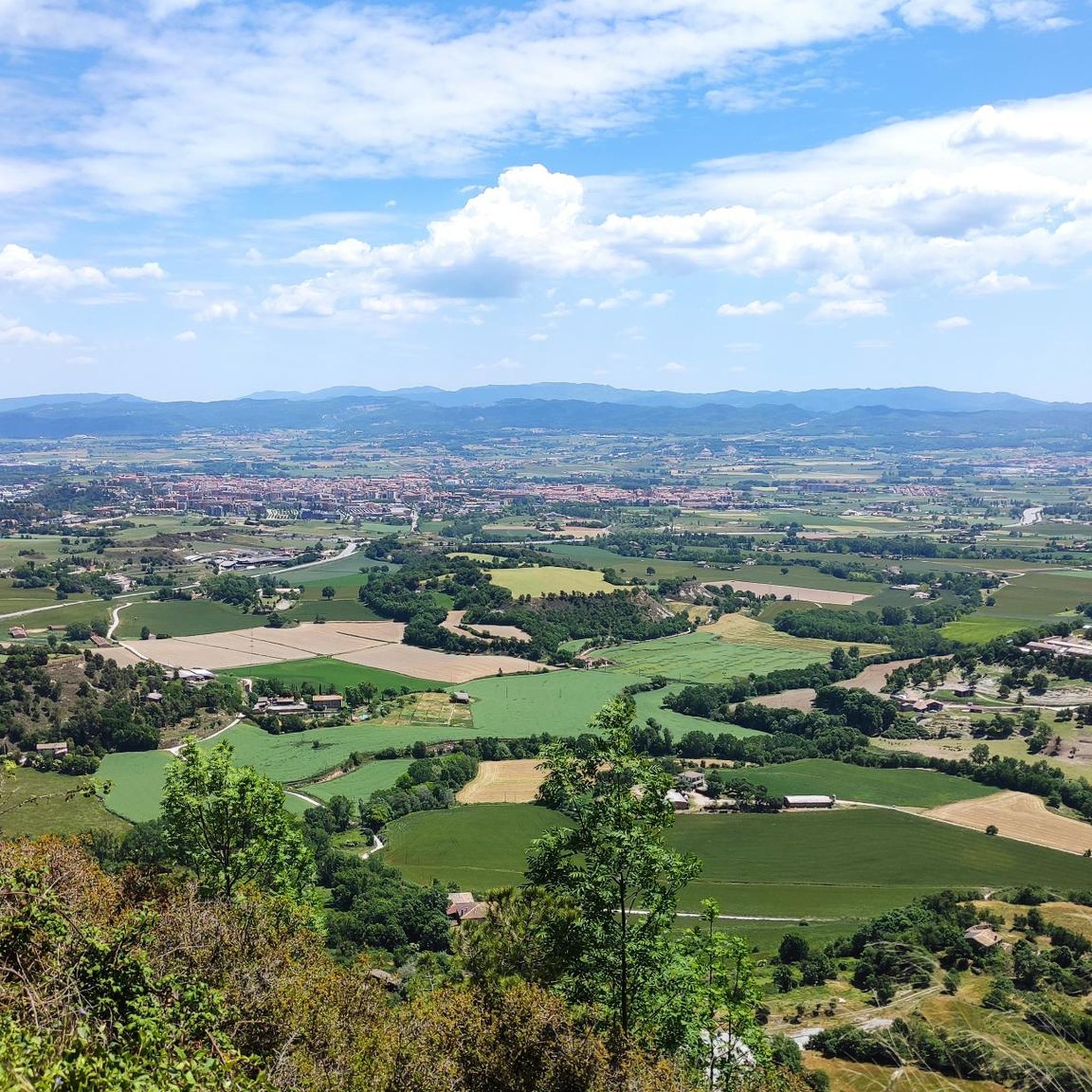
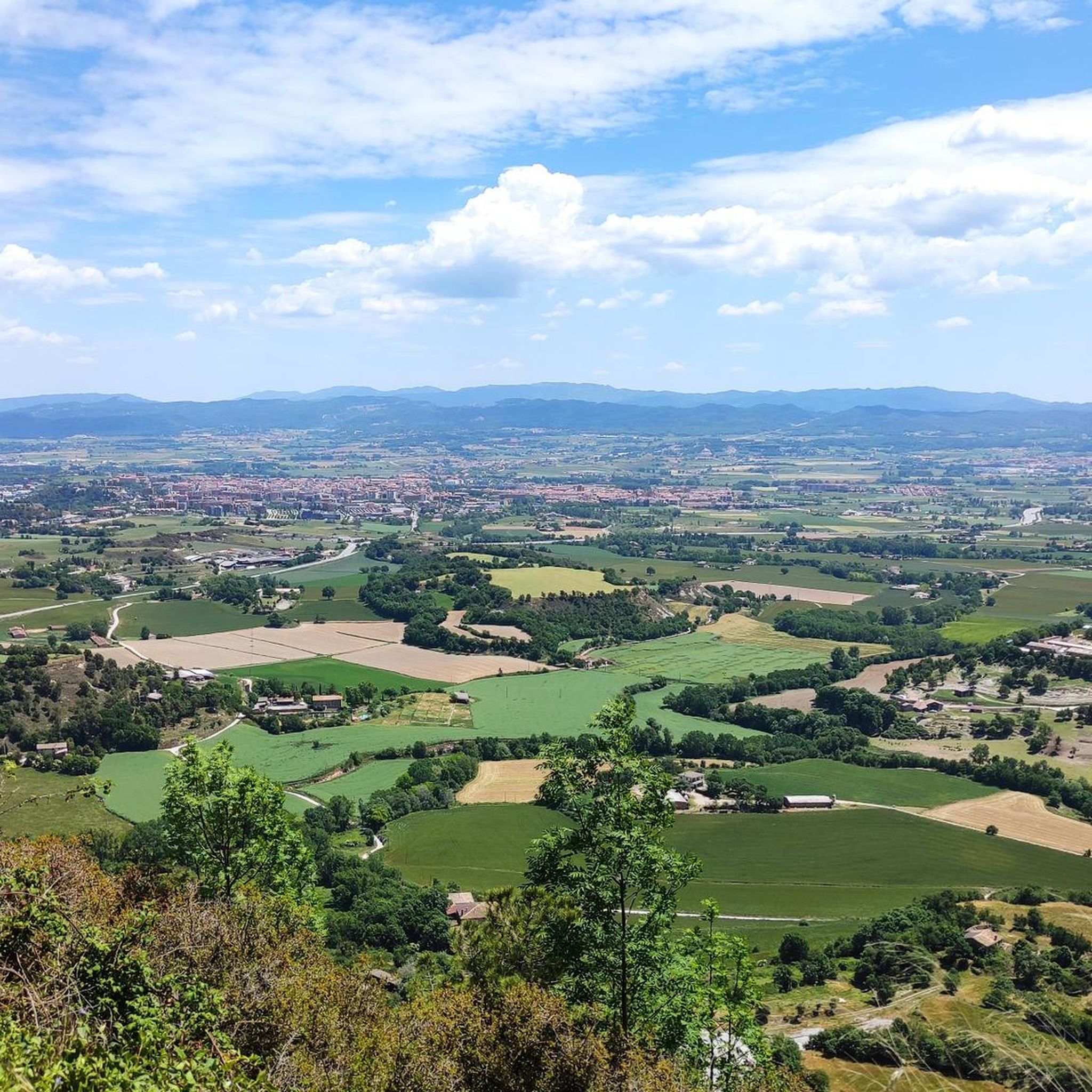
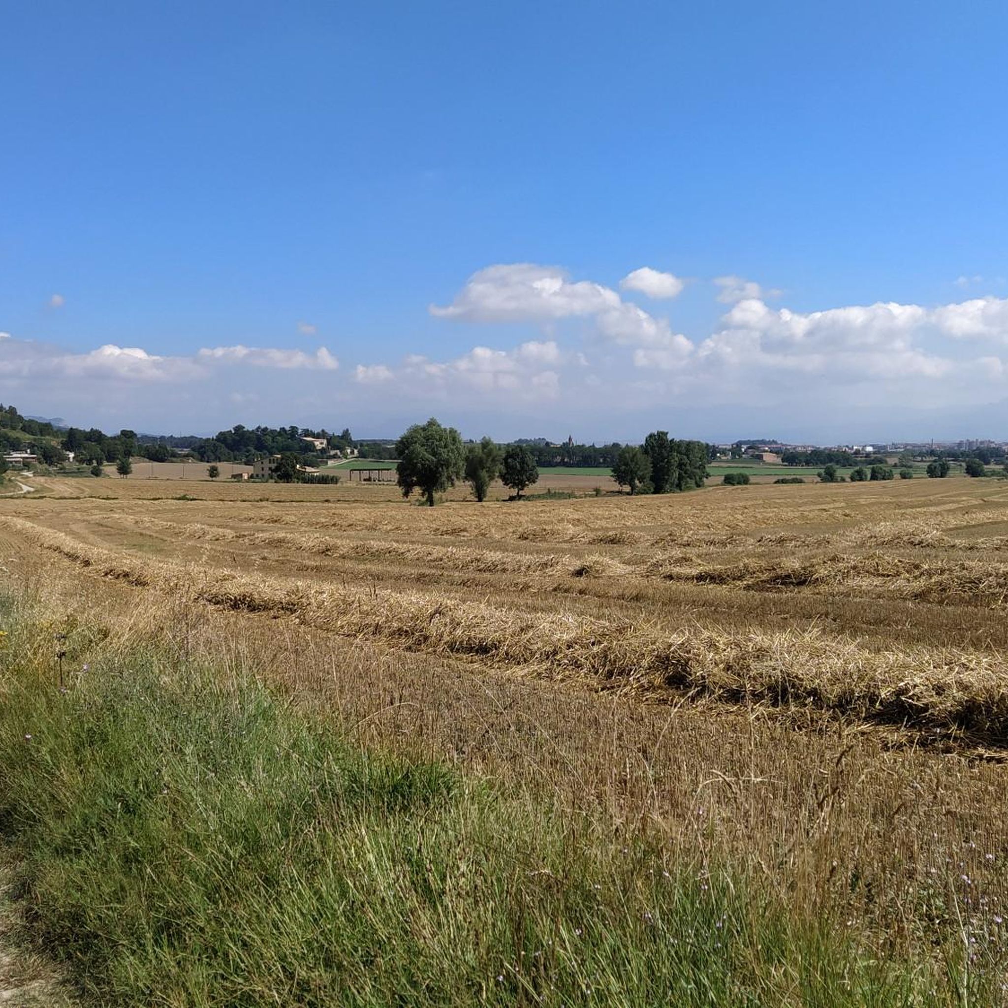
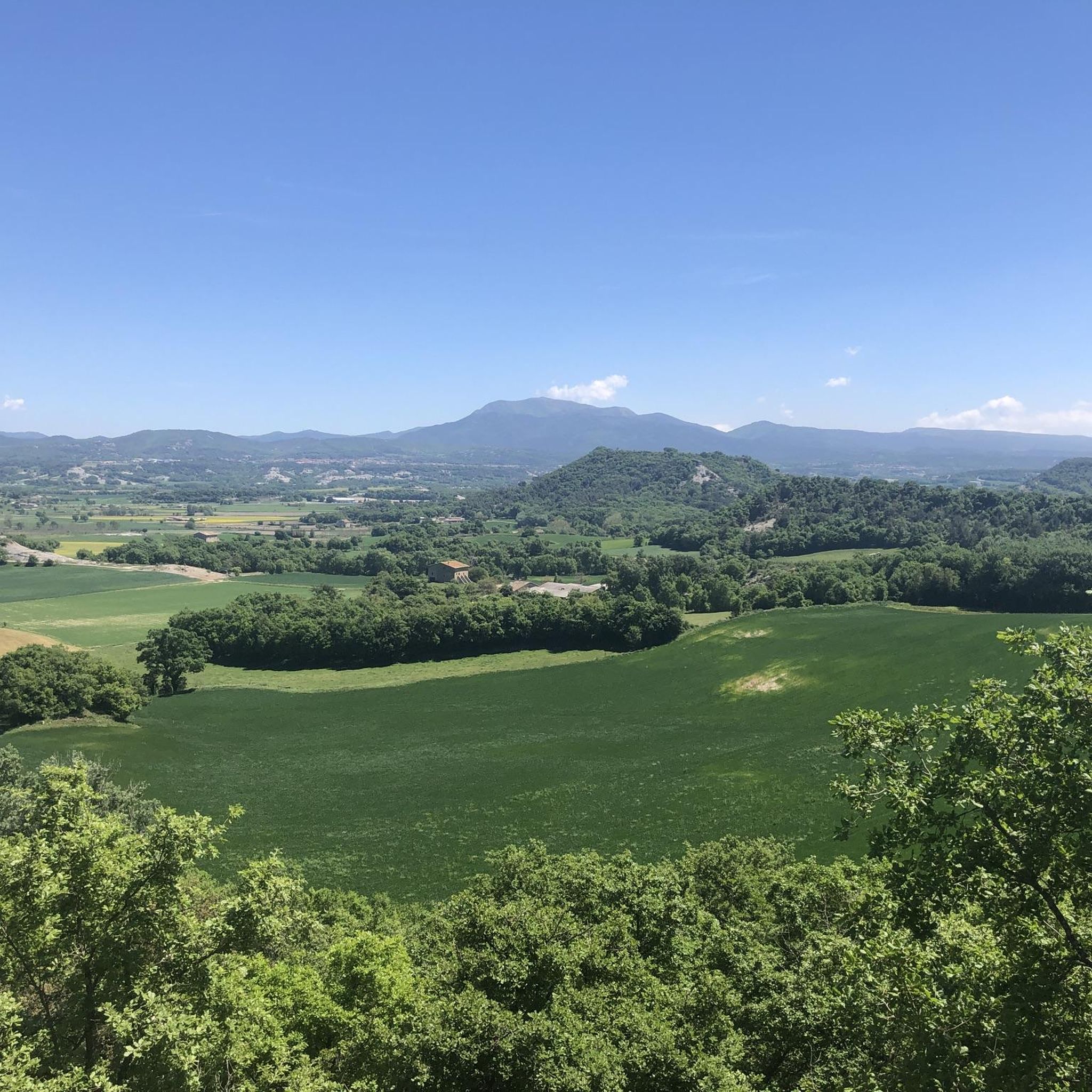
Touring cycling routes around Santa Eulàlia De Riuprimer traverse a landscape characterized by the Plana de Vic, offering a mix of flat sections and rolling hills. The region features a network of roads connecting historical towns and churches, with routes often following river valleys and passing by reservoirs. Elevation gains vary, providing options from gentle rides to more challenging climbs through the surrounding terrain.
Best touring cycling routes around Santa Eulàlia De Riuprimer
- The most popular touring cycling route is…
Last updated: May 24, 2026
3.5
(4)
9
riders
40.8km
02:50
400m
400m
This moderate 25.3-mile touring bicycle loop explores the Plana de Vic, connecting Vic, Folgueroles, and Tona with 1311 feet of gain.
5.0
(1)
118
riders
77.7km
05:16
1,260m
1,260m
Hard bike ride. Very good fitness required. Mostly paved surfaces. Suitable for all skill levels.

Sign up for free
5.0
(3)
101
riders
64.9km
04:29
1,190m
1,190m
Hard bike ride. Very good fitness required. Mostly paved surfaces. Suitable for all skill levels.
5.0
(2)
81
riders
46.5km
03:12
780m
780m
Hard bike ride. Very good fitness required. Mostly paved surfaces. Suitable for all skill levels.
73
riders
27.6km
02:25
590m
590m
Hard bike ride. Very good fitness required. Mostly paved surfaces. Suitable for all skill levels.
Get access to more routes and recommendations from other explorers.
Sign up for free
Already have an account?
Our route recommendations are based on thousands of hikes, rides, and runs completed by other people on komoot.
Start today with a free account
Your next adventure awaits.
Login or Signup
Tips from the Community

Large parking area 🅿️ Restaurant and starting point for various mountain biking and hiking routes 🥾
0
0

restaurant and service area, cheap diesel
0
0

very nice route along the track and after collsuspina with some corriol but they are done well
0
0

Paved rural road, with cycle lane signs
0
0

The Coll de Revell is a port in the Montseny massif that connects the town of Arbúcies with the Vic plan area. Today, on its southern side, it is a port that does not usually have traffic and is very pleasant given its good road and low, constant slope. On the other hand, on the northern slope, which starts from the plain of Vic, there is an area (Pas del Buc) where the road is very dirty and has a lot of gravel. I leave you the link of the altimetry published by @cyclingcols --> http://www.cyclingcols.com/col/Revell
0
1

The Great Square of Vic is unique
0
0


The Sau reservoir collects the waters of the River Ter at the foot of the Guilleries massif. When the reservoir was created in the sixties, the town of Sant Romà de Sau was flooded. Today you can still see the bell tower of the church jutting out of the water, creating an enchanted picture.
1
1
Frequently Asked Questions
How many touring cycling routes are available around Santa Eulàlia De Riuprimer?
There are over 270 touring cycling routes in the Santa Eulàlia De Riuprimer area, offering a wide range of options for different skill levels and preferences.
What kind of terrain can I expect on touring cycling routes in Santa Eulàlia De Riuprimer?
The region is characterized by the Plana de Vic, featuring a mix of flat sections and rolling hills. Routes often follow river valleys and pass by reservoirs, connecting historical towns and churches. You'll find options from gentle rides to more challenging climbs through the surrounding terrain.
Are there any easy touring cycling routes suitable for beginners in Santa Eulàlia De Riuprimer?
Yes, there are 24 easy touring cycling routes in the area. While specific beginner routes aren't highlighted here, you can find many options that traverse the flatter sections of the Plana de Vic, ideal for those new to touring cycling or looking for a relaxed ride.
What are some challenging touring cycling routes for experienced riders?
For experienced riders seeking a challenge, routes like El Pont d'en Bruguer – Sant Joan de Fàbregues Church loop from Vic offer significant elevation gain over 48.3 miles (77.7 km). Another demanding option is the Church of Sant Sadurní d'Osormort – Revell Pass loop from Vic, which covers 40.5 miles (65.3 km) with substantial climbs.
Are there any circular touring cycling routes in Santa Eulàlia De Riuprimer?
Many routes in the region are designed as loops, allowing you to start and end in the same location. An example is the Plana de Vic Loop: Vic, Folgueroles, and Tona, which is a moderate 25.3-mile (40.8 km) trail exploring the plains and towns.
What kind of historical landmarks or attractions can I see along the touring cycling routes?
The region is rich in history. You might encounter various historical sites, including air raid shelters such as L'Omeda Air Raid Shelters or Molines Shelter 2. There are also several castles nearby, like Can Boix Castle and Castle of Tona, which add historical interest to your ride.
What is the best time of year for touring cycling in Santa Eulàlia De Riuprimer?
The region generally offers pleasant cycling conditions during spring and autumn, when temperatures are mild. Summer can be warm, especially in the open plains, while winter rides are possible but may require checking local weather conditions for cooler temperatures or occasional rain.
Are there any routes that pass by reservoirs or offer scenic water views?
Yes, some routes in the area incorporate scenic water features. For instance, the Sau Reservoir – Main Square of Vic loop from Vic is a challenging 47.1-mile (75.9 km) route that takes you past the impressive Sau Reservoir, offering beautiful views.
What do other touring cyclists say about the routes in Santa Eulàlia De Riuprimer?
The touring cycling routes in Santa Eulàlia De Riuprimer are highly regarded by the komoot community, with an average rating of 4.6 stars from over 70 reviews. Cyclists often praise the varied terrain, the network of roads connecting historical sites, and the options available for different ability levels.
Are there any routes that are particularly good for exploring local villages and towns?
Many routes are designed to connect the historical towns and villages of the Plana de Vic. The Plana de Vic Loop: Vic, Folgueroles, and Tona is an excellent example, allowing you to explore multiple settlements and experience the local culture.
What is the typical elevation gain on touring cycling routes in this area?
Elevation gains vary significantly. While some routes on the Plana de Vic are relatively flat, many feature rolling hills. More challenging routes, such as the Ermita de Sant Sebastià – Rural Road to Sant Sebastià loop from Vic, can involve over 590 meters of ascent over 27.6 miles (44.4 km), providing substantial climbs.
Most popular routes around Santa Eulàlia De Riuprimer
Most popular attractions around Santa Eulàlia De Riuprimer

Get inspired with the komoot mobile app


Explore more
Browse the best Cycling routes in other regions.
