The best walks and hikes around Fiñana
4.6
(71)
469
hikers
30
hikes
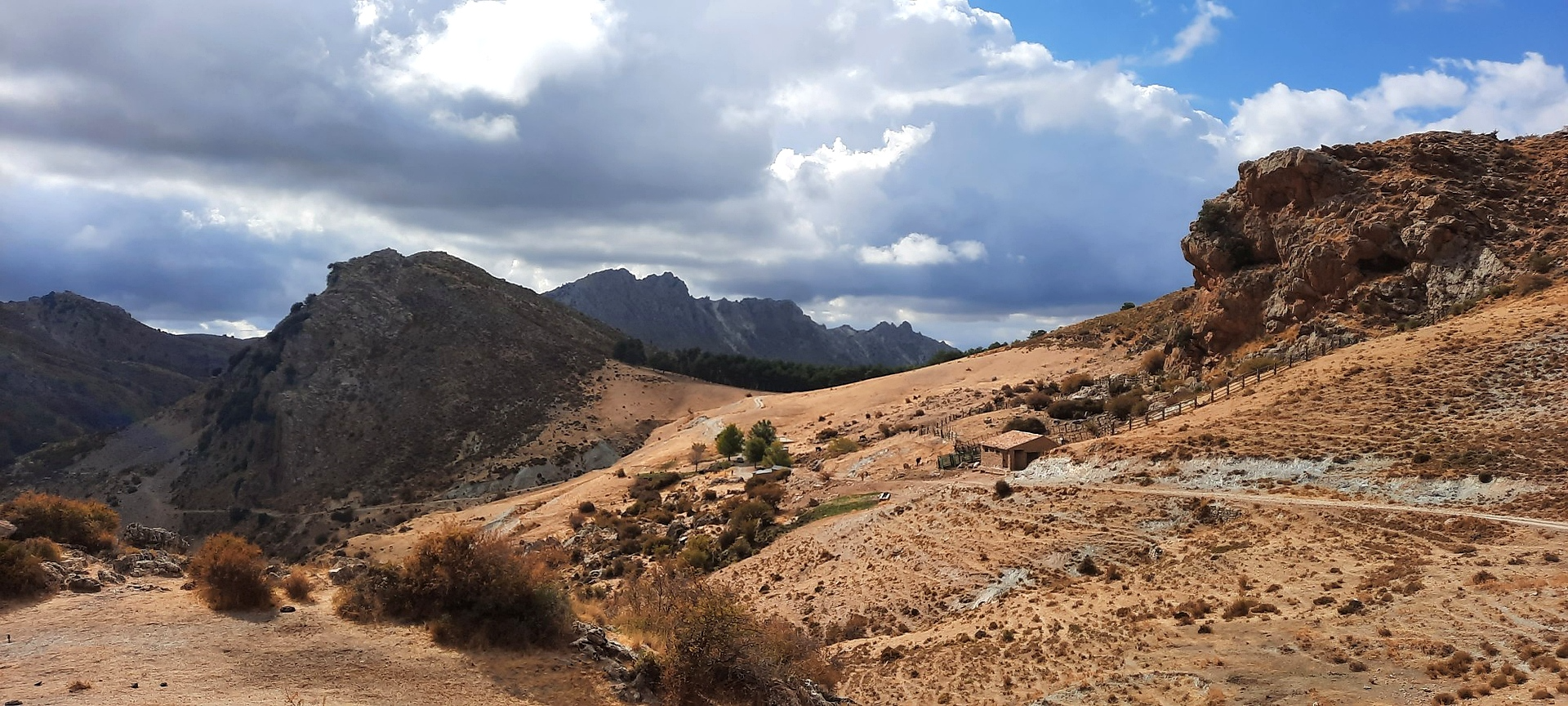
Hiking around Fiñana offers access to a diverse and rugged landscape, situated between the Sierra Nevada and Sierra de los Filabres mountain ranges. The region features high altitudes, cliffs, and the Valle del Nacimiento, a natural corridor connecting these majestic ranges. Hikers can explore varied terrain including pine, oak, and chestnut forests, with peaks like El Almirez reaching over 2,500 meters.
Best hiking trails in Fiñana
- The most popular hiking route is La Jairola - El Castillejo – circular from…
Last updated: October 7, 2026
4.4
(7)
20
hikers
10.4km
03:16
420m
420m
Moderate hike. Good fitness required. Easily-accessible paths. Suitable for all skill levels.
3.0
(1)
5
hikers
11.8km
03:15
200m
210m
Moderate hike. Good fitness required. Easily-accessible paths. Suitable for all skill levels.

3
hikers
21.4km
06:37
790m
790m
Hard hike. Very good fitness required. Easily-accessible paths. Suitable for all skill levels.
3.0
(1)
6
hikers
12.0km
03:27
300m
290m
Moderate hike. Good fitness required. Easily-accessible paths. Suitable for all skill levels.
9
hikers
11.0km
03:13
310m
310m
Moderate hike. Good fitness required. Easily-accessible paths. Suitable for all skill levels.
Get access to more routes and recommendations from other explorers.
Already have an account?
Our route recommendations are based on thousands of hikes, rides, and runs completed by other people on komoot.
Start today with a free account
Your next adventure awaits.


Tips from the Community

This fountain has a good water flow, perfect for refilling.
0
0

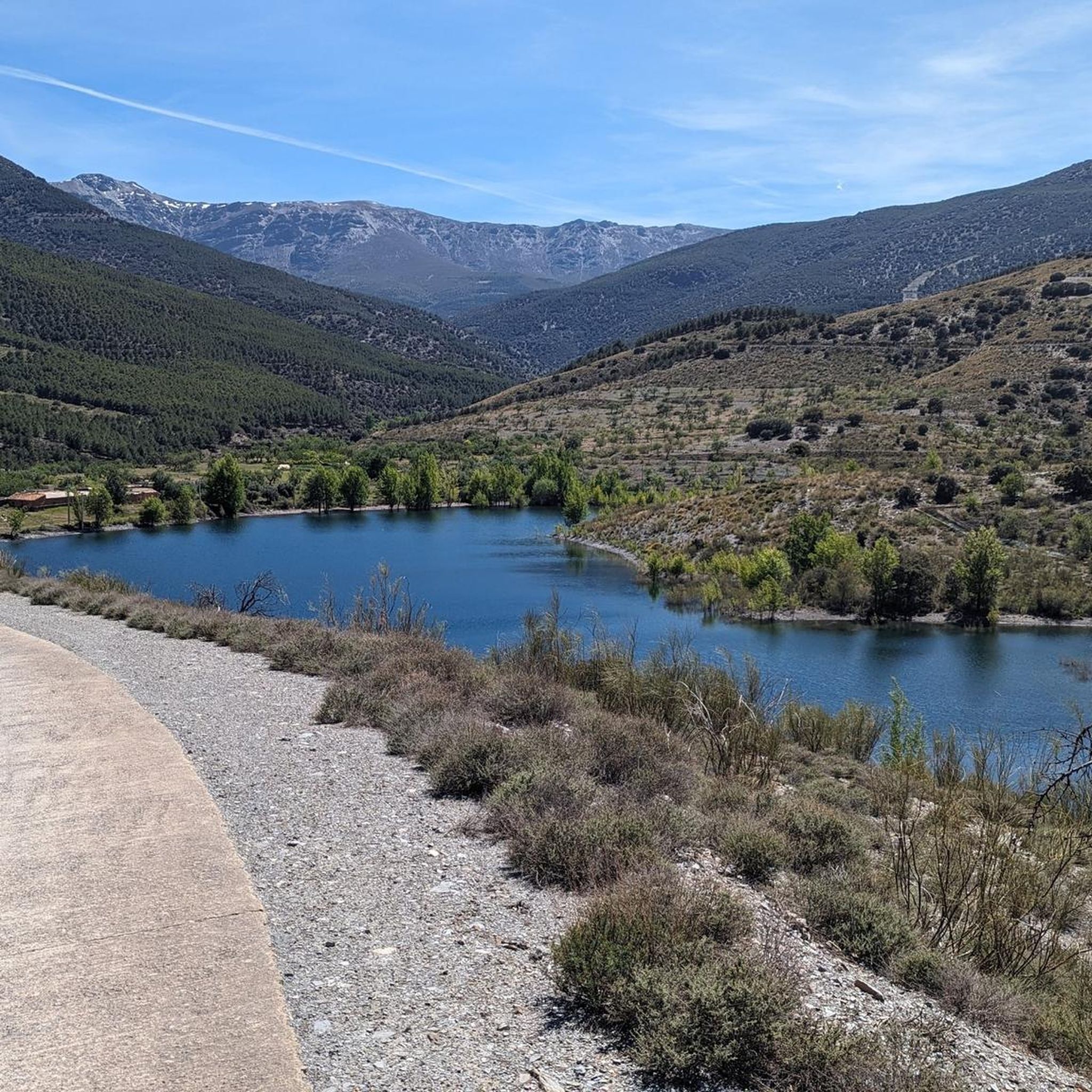
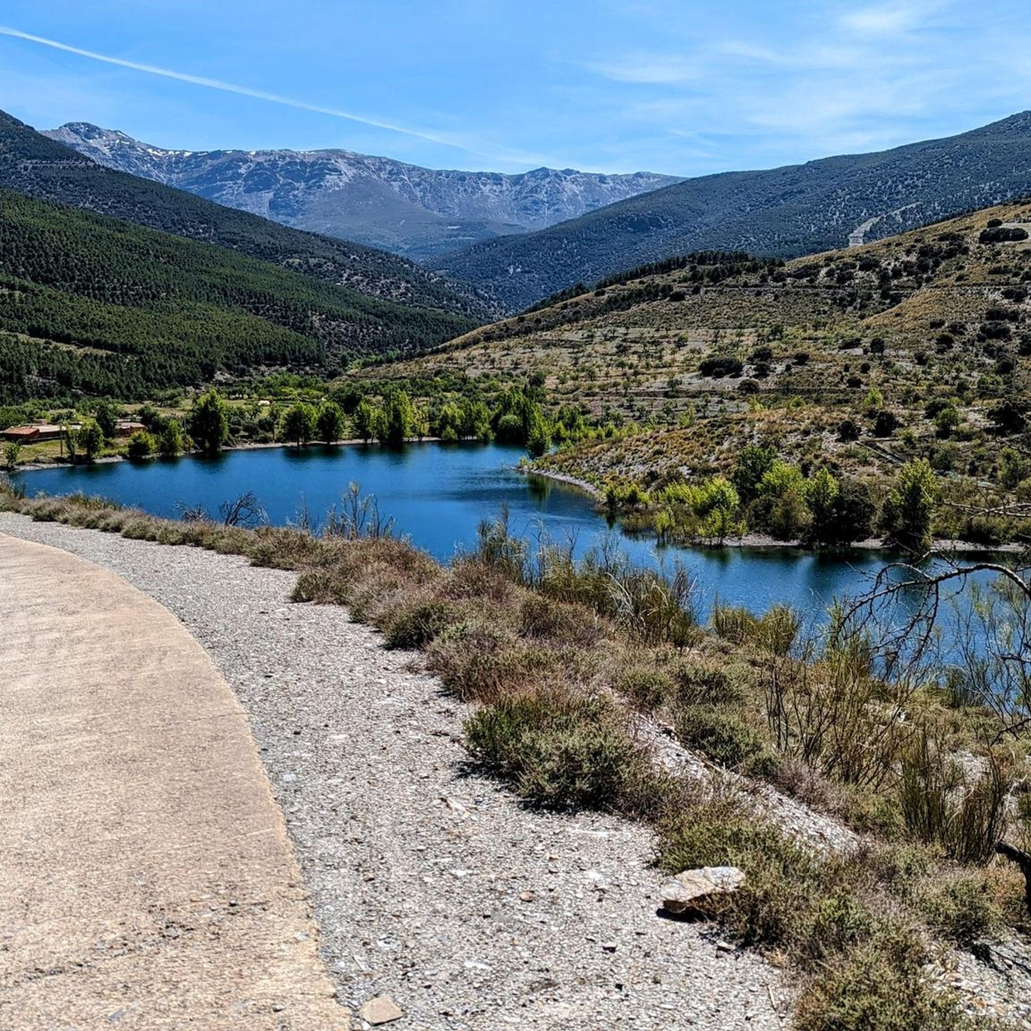
Beautiful view
0
0
In Abla there is a historical walking tour that passes all the sights and is well marked. We liked Abla better than the “magic village” of Abrucena.
1
0
Abrucena is one of the Pueblos Magicos in Spain. The village didn't seem particularly magical to us. After a short tour we continued to Abla.
0
0

The path through the Abrucena holm oak offers an incredible variety of ravines of great natural beauty. The entire area is included within the Network of Protected Natural Areas of Andalusia, with the figures of Sierra Nevada Natural and National Park.
2
0

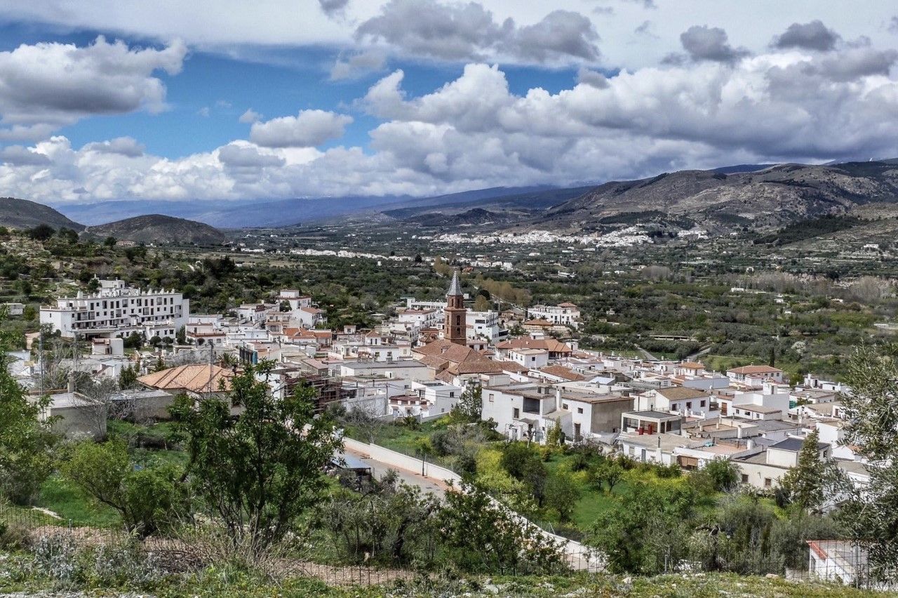
This town is located in the natural corridor between the peninsula and the Mediterranean formed by Sierra Nevada and Sierra de Baza, although closer to the former since it is situated on one of its foothills. Despite its mountain environment, the nearest peaks do not exceed 1,800 m, although the town itself is at an altitude of 861 m. It is a place of great mycology fans, even having an information point dedicated exclusively to it.
4
0
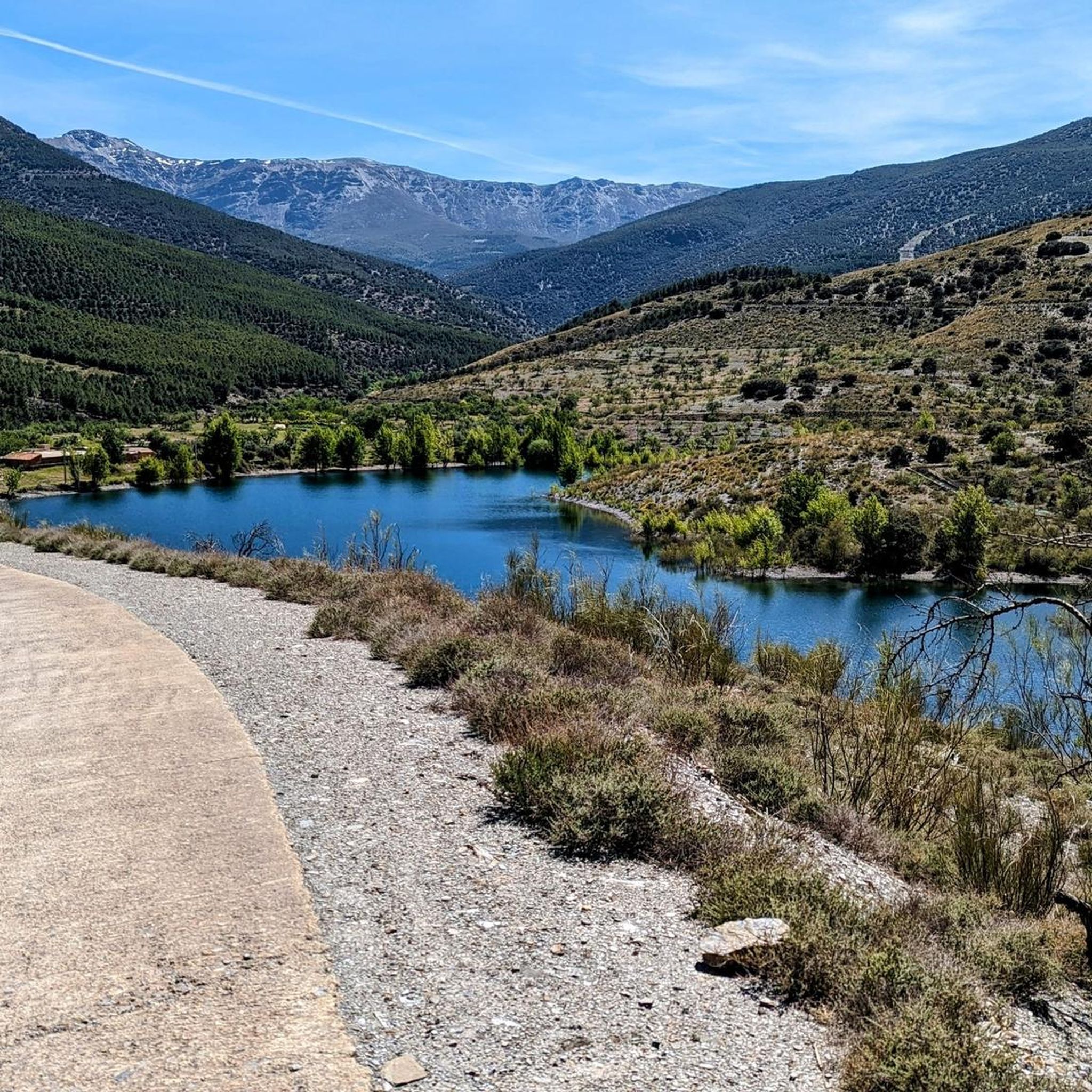
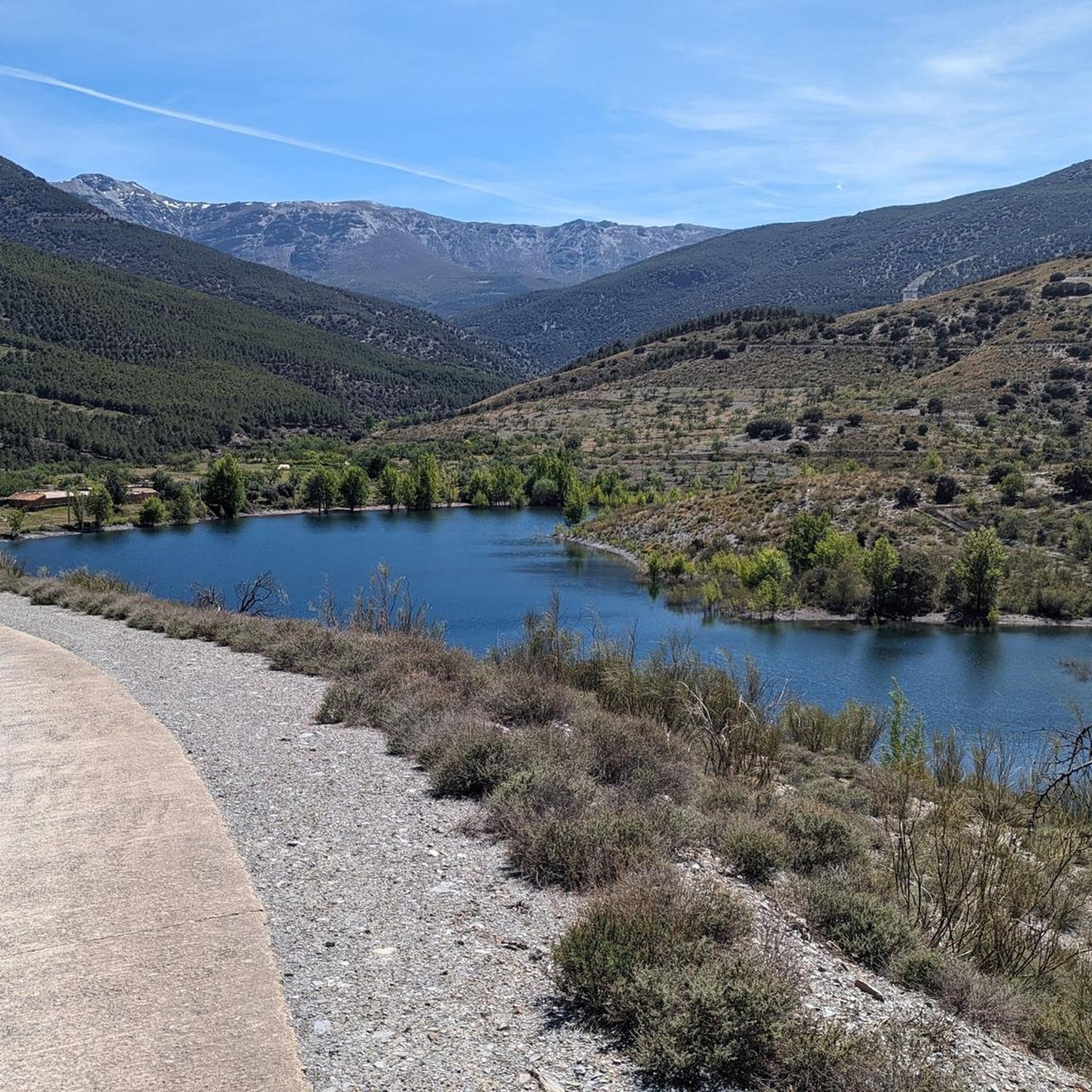
Leaving the town you can see the peaks of the Sierra Nevada behind the valley formed by the Rambla de los Santos and the Abrucena river.
3
0
Frequently Asked Questions
How many hiking trails are available around Fiñana?
There are over 20 hiking trails around Fiñana, offering a range of experiences from moderate walks to challenging treks. The region's diverse landscape, situated between the Sierra Nevada and Sierra de los Filabres mountain ranges, provides varied terrain for all skill levels.
What is the general difficulty level of hiking trails in Fiñana?
The trails around Fiñana cater to various abilities. You'll find 1 easy route, 7 moderate routes, and 12 difficult routes. This variety ensures that both casual walkers and experienced hikers can find suitable options.
What do other hikers say about the trails in Fiñana?
The hiking trails in Fiñana are highly rated by the komoot community, with an average score of 4.5 stars from over 50 reviews. Hikers often praise the diverse and rugged terrain, the stunning views of the Sierra Nevada, and the opportunity to explore pine, oak, and chestnut forests.
Are there any challenging long-distance hikes in the Fiñana area?
Yes, for those seeking a more strenuous outing, the Abrucena Holm Oak Forest Trail is a demanding option. This 21.4 km (13.3 miles) trail leads through ancient oak forests and dramatic ravines, involving a significant 790-meter elevation gain and typically taking around 6 hours and 36 minutes to complete.
Can I find moderate circular routes near Fiñana?
Absolutely. A great moderate circular option is the Cerro Redondo – Mirador de Barea loop from Cerro Ayala. This 11.9 km route has a 290-meter elevation gain and typically takes about 3 hours and 26 minutes, offering a rewarding experience without extreme difficulty.
What kind of terrain can I expect on hikes around Fiñana?
Hiking around Fiñana offers a diverse range of terrain. You can expect rugged landscapes, high-altitude passes, and views of the Sierra Nevada. Trails wind through pine, oak, and chestnut forests, with some routes featuring cliffs and the scenic Valle del Nacimiento. The region provides access to both green valleys and rocky peaks.
What natural features or viewpoints can I discover while hiking near Fiñana?
The region is rich in natural beauty. You can explore the La Ragua Pass, a significant mountain pass over 2000 meters, or aim for summits like Chullo Peak and Pico del Buitre and Shelter. Don't miss the View of Sierra Nevada and the Abrucena River Valley for breathtaking panoramas.
Are there any interesting landmarks or places to explore around Fiñana?
Beyond the natural features, you can visit the charming Abla Village, which is a starting point for some trails. Other points of interest include the Hydroelectric Canal Trail of Laujar and the impressive Bridge over the Chillo Ravine.
What is a good moderate hike that explores the local landscape near Fiñana?
The Sendero de los Molinos y las Fuentes – circular desde Abla (PR-A 354) is an excellent choice. This 11.8 km (7.3 miles) moderate path explores the local landscape, often completed in about 3 hours and 15 minutes with a lower elevation gain of 200 meters.
What is the best time of year to go hiking in Fiñana?
While many trails can be enjoyed year-round, spring offers particularly pleasant conditions during the blooming season. Some higher trails might be snow-covered in winter, but the diverse ecosystems mean there are always options. The mild climate of Andalusia generally makes hiking enjoyable for much of the year.
Are there any family-friendly hiking options around Fiñana?
While specific family-friendly routes are not detailed, the presence of one easy route and several moderate options suggests that some trails could be suitable for families. Look for routes with lower elevation gains and shorter distances, such as the Sendero de los Molinos y las Fuentes – circular desde Abla (PR-A 354), which is moderate but has a relatively low elevation gain.
Is there parking available at the trailheads near Fiñana?
While specific parking details for each trailhead are not provided, Fiñana serves as a superb base for exploring the outdoor environment. It is generally advisable to check local information or komoot tour details for specific parking availability at the start of your chosen route.
Most popular attractions around Fiñana

Get inspired with the komoot mobile app


Explore more
Browse the best Hikes in other regions.
