The best walks and hikes around Caso
4.6
(235)
1,866
hikers
25
hikes
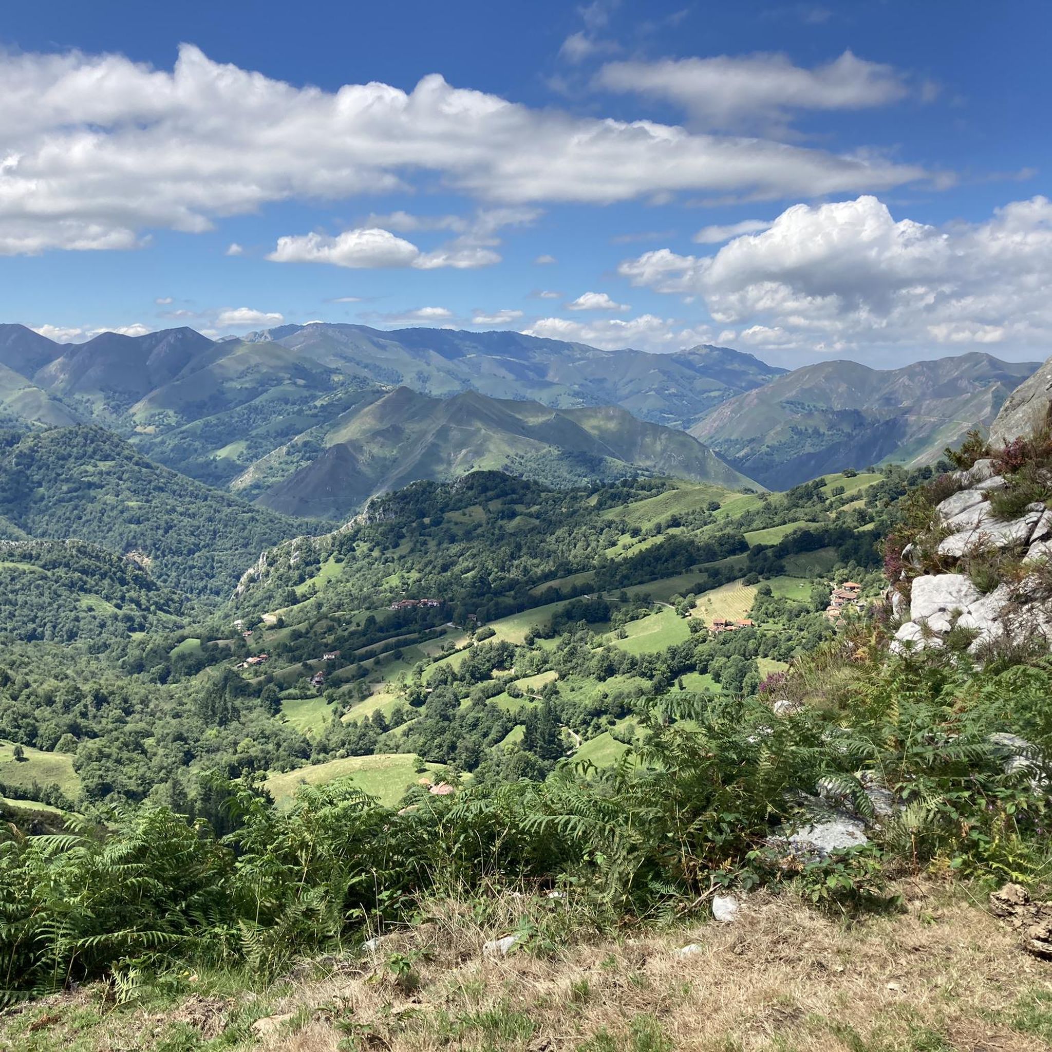
Hiking around Caso offers a diverse landscape characterized by mountainous terrain, dense forests, and river valleys. The region features a network of trails that traverse varying elevations, providing opportunities for both moderate and challenging hikes. These routes often lead through natural areas with significant elevation changes, indicative of a rugged environment.
Best hiking trails around Caso
- The most popular hiking route is Tabayón de Mongallu Route, a 6.6 miles (10.7 km) trail that takes 3 hours 23 minutes to…
Last updated: October 10, 2026
4.6
(13)
124
hikers
10.7km
03:23
440m
440m
Hike the moderate Tabayón de Mongallu Route in Redes Natural Park to discover a stunning waterfall, beech forests, and mountain views.
4.3
(14)
83
hikers
13.4km
05:21
750m
740m
Hike the difficult 8.3-mile Cabeza de Arco Trail in Redes Natural Park, gaining 2454 feet with diverse scenery and a natural arch.

4.7
(16)
135
hikers
10.6km
03:25
460m
460m
Moderate hike. Good fitness required. Easily-accessible paths. Suitable for all skill levels.
4.6
(8)
61
hikers
8.76km
02:51
370m
370m
Moderate hike. Good fitness required. Easily-accessible paths. Suitable for all skill levels.
4.5
(6)
52
hikers
21.5km
06:42
810m
810m
Hard hike. Very good fitness required. Easily-accessible paths. Suitable for all skill levels.
Get access to more routes and recommendations from other explorers.
Already have an account?
Our route recommendations are based on thousands of hikes, rides, and runs completed by other people on komoot.
Start today with a free account
Your next adventure awaits.
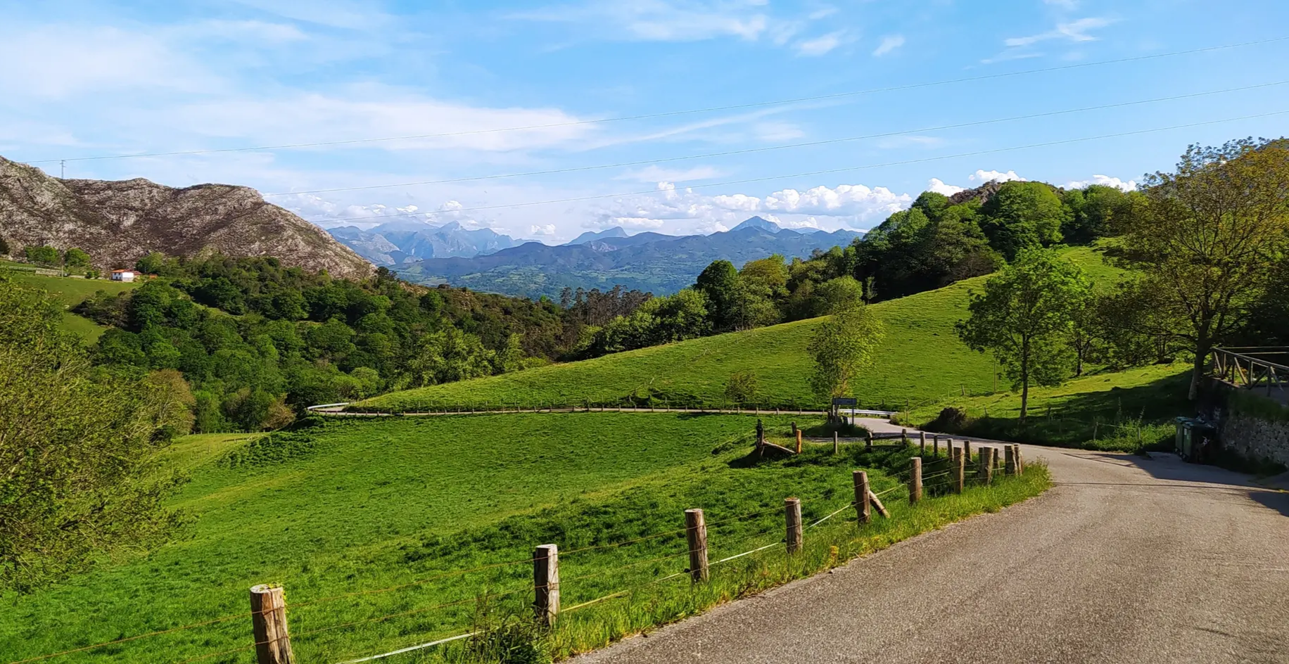
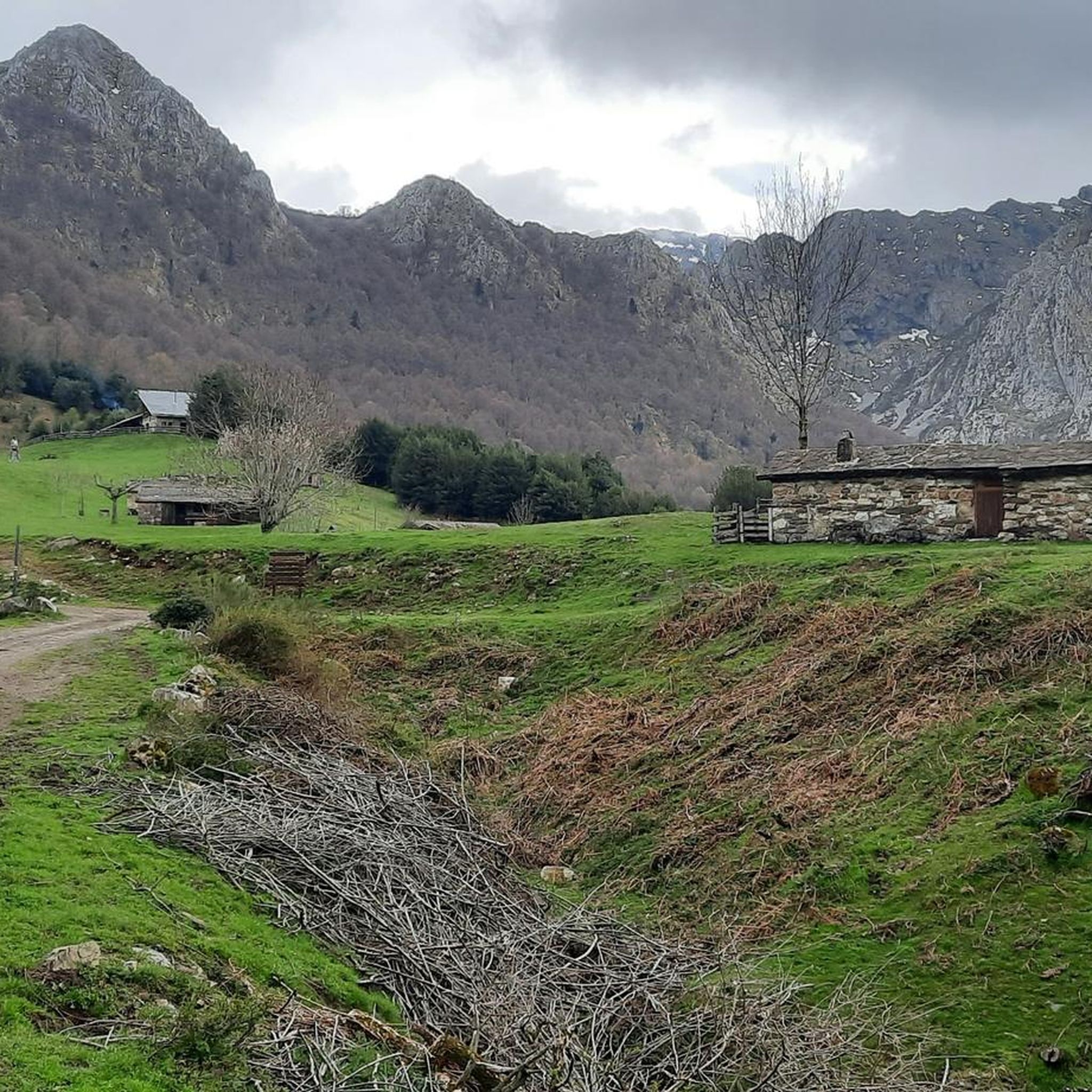
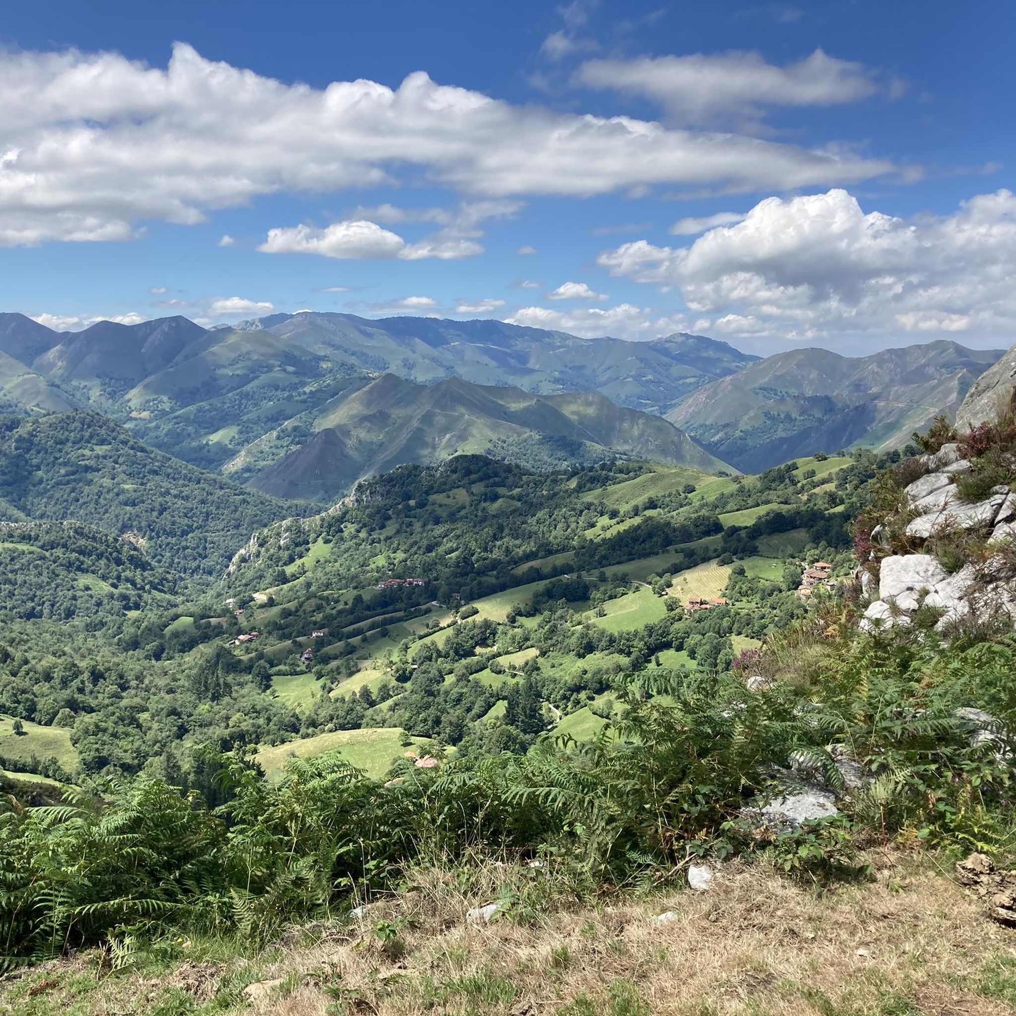
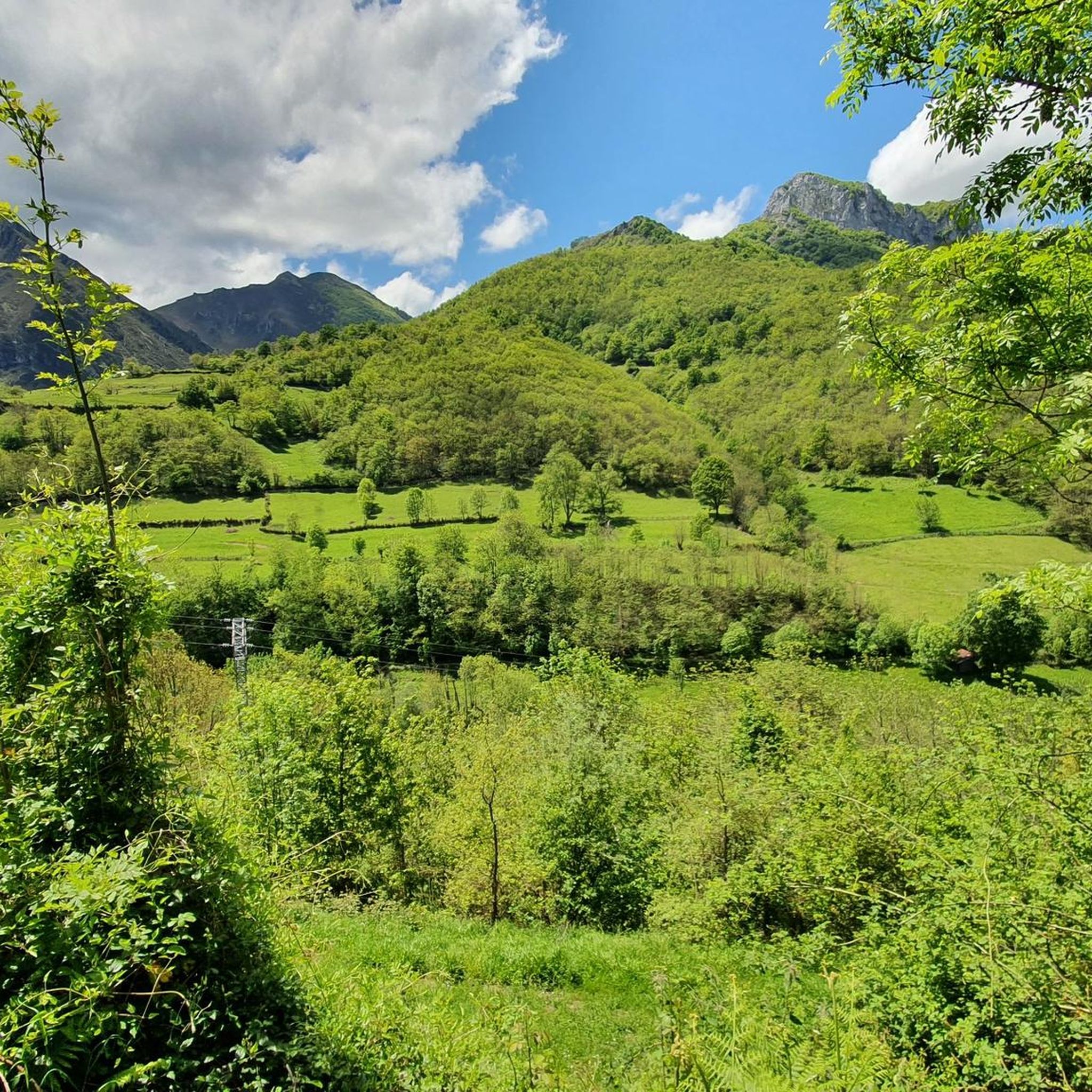
Other adventures around Caso

Tips from the Community

The small mountain village of Caleao hangs beautifully on the slope and appears very authentic. Even if the village is suitable as a starting point for various tours, such as the one into the Desfiladero de los Arrudos, it appears at best a little touristy. If you can't find a parking space here, you might find one on the other side of the road leading to the village, near the campsite - the parking spaces opposite the main building seem to be public, not just for visitors to the campsite.
0
0
Coming from Caleao, the cart track ends here at the last house into the Desfiladero de los Arrudos and from here you continue on a largely natural path into the gorge, which digs itself ever deeper and steeper into the mountains. This gorge is truly impressive, the path is worth it.
0
0
Coming out of the forest, I saw the waterfall for the first time, the goal of my tour. You could already hear it earlier...
0
0
Along the path from Tarna to Tabayón de Mongallu, you will repeatedly find so-called pollarded beeches - beeches that were previously repeatedly cut back for timber harvesting above the height accessible to cattle, and then formed new shoots there, so that the very old trees now have a thick but low main trunk and above it many comparatively thin younger shoots.
0
0
The Tabayón del Mongallu, with its 60 meters of height, is quite impressive. It doesn't just fall straight down, it looks very beautiful, even if it doesn't carry huge amounts of water. After the last stretch to the waterfall, which is a bit steeper on a scree ground, you can take a slightly longer break here. It's quite cool near the waterfall, which is very good on a hot day.
0
0
From Tarna to the waterfall, two paths lead, relatively direct or a bit longer and flatter along the stream. Together, as PR-AS 060 Ruta del Tabayón de Mongallu, they form a beautiful circular route, where you relatively rarely encounter other hikers - only at the waterfall did I have some company. The loop is good for warming up before hiking longer distances, it certainly has a few strenuous climbs but is quite manageable. The last stretch to the waterfall is quite rocky, you should take your time on the descent here.
0
0

It's a beautiful place and a dreamlike landscape. What a shame the shelter isn't working. These politicians we have don't do a single thing right.
0
0

In case of morning frost, when climbing the waterfall, put snow boots
1
0
Frequently Asked Questions
How many hiking trails are available around Caso?
Caso offers a diverse network of over 20 hiking trails. These routes traverse mountainous terrain, dense forests, and river valleys, providing options for various skill levels.
Are there any easy or beginner-friendly hikes in Caso?
While many trails in Caso involve significant elevation changes, there are moderate options suitable for those looking for less strenuous ascents. For example, the Tabayón del Mongallu Waterfall – Tarna loop from Tarna is a moderate 5.4-mile (8.8 km) trail that can be completed in under 3 hours.
Can I find trails with waterfalls in the Caso area?
Yes, the region is known for its riverine landscapes and features notable waterfalls. The Tabayón de Mongallu Route is a popular 6.6-mile (10.7 km) trail specifically highlighted for its waterfall and forested paths.
Are there any circular hiking routes around Caso?
Yes, Caso offers several loop trails. A scenic option is the Tabayón del Mongallu Waterfall – Tarna loop from Tarna, which is a 5.4-mile (8.8 km) circular route.
What kind of views can I expect on hikes in Caso?
Hikes in Caso often lead to breathtaking panoramic views, especially from higher elevations. Trails like the Cabeza de Arco Trail, a difficult 8.3-mile (13.4 km) path, are known for offering expansive vistas of the surrounding mountainous landscape.
What do other hikers say about the trails in Caso?
The routes in Caso are highly rated by the komoot community, with an average score of 4.7 stars from over 160 reviews. Hikers often praise the diverse landscape, from dense forests to rugged mountainous paths, and the rewarding views.
Are there any interesting landmarks or attractions near the hiking trails?
Yes, the Caso area is rich in natural landmarks. You can explore various mountain passes such as Tarna Pass or Puerto de las Señales. There are also several peaks to discover, including Pico de la Cruz and La Polinosa, offering additional exploration opportunities.
What is the best time of year to hike in Caso for autumn colors?
The region's dense forests and mountainous terrain suggest that autumn would be a beautiful time to visit, with vibrant foliage. While specific peak times vary, late September to October typically offers the best display of autumn colors in similar European mountain regions.
Are there any less crowded hiking options in Caso?
While popular routes like Tabayón de Mongallu attract many, the extensive network of over 20 trails means you can often find quieter paths. Exploring some of the more difficult or longer routes, such as the Texu la Oración Viewpoint – Crestón Tunnel loop from Bezanes, might offer a more secluded experience due to their challenging nature.
Are there any pubs or cafes near the hiking trails in Caso?
The region is characterized by small villages and natural areas. While specific establishments aren't listed in the trail data, it's common in such areas to find local eateries or pubs in the villages that serve as trailheads or are located along main access roads. It's advisable to check local listings for places like Tarna or Bezanes.
What is the general difficulty level of hiking trails in Caso?
Caso offers a mix of difficulties. While there are 6 moderate trails, the majority (14 out of 20) are classified as difficult. This indicates a rugged environment with significant elevation changes, suitable for experienced hikers looking for a challenge.
Is public transport available to reach hiking trails around Caso?
Information on specific public transport routes to trailheads is not detailed in the guide data. However, in many mountainous regions, local bus services connect villages. It is recommended to check local transport schedules for towns like Tarna or Bezanes, which are starting points for some trails.
Most popular attractions around Caso

Get inspired with the komoot mobile app


Explore more
Browse the best Hikes in other regions.
