The best running trails around Garganta De Los Montes
4.6
(11)
1,145
runners
109
runs
Jogging around Garganta De Los Montes offers access to a diverse natural environment within the Sierra Norte of Madrid. The region is characterized by lush forests, rolling hills, and imposing mountains, providing varied terrain for running. Water features like the Jarama River and several reservoirs add tranquil routes and picturesque scenery, while valleys and mountain passes offer a mix of gentle and more challenging paths.
Best jogging routes around Garganta De Los Montes
- The most popular jogging route is Cerro…
Last updated: July 28, 2026
11
runners
13.9km
01:40
180m
180m
Moderate run. Good fitness required. Mostly paved surfaces. Suitable for all skill levels.
8
runners
10.9km
01:13
180m
180m
Moderate run. Good fitness required. Mostly paved surfaces. Suitable for all skill levels.

Sign up for free
5
runners
13.3km
01:34
270m
270m
Moderate run. Good fitness required. Mostly paved surfaces. Suitable for all skill levels.
8
runners
19.7km
02:28
620m
620m
Hard run. Very good fitness required. Sure-footedness, sturdy shoes and alpine experience required.
4
runners
8.39km
00:58
120m
120m
Moderate run. Good fitness required. Mostly paved surfaces. Suitable for all skill levels.
Get access to more routes and recommendations from other explorers.
Sign up for free
Already have an account?
Our route recommendations are based on thousands of hikes, rides, and runs completed by other people on komoot.
Start today with a free account
Your next adventure awaits.
Login or Signup

Tips from the Community

The Castle and Walls of Buitrago del Lozoya, one of the most important medieval sites in the Community of Madrid: The town has pre-Roman roots and was mentioned by Livy as a Celtiberian fortress (Litabrum). Muslim Fortification: Between the 8th and 11th centuries, the Muslims built the wall to protect the territory. Reconquest: Alfonso VI conquered it in 1085, and it passed into Christian hands. Current Castle: Built in the 15th century by the Mendoza family, during the reign of John II of Castile. Historical Uses: Noble residence, defensive stronghold, and setting for events such as the imprisonment of Juana la Beltraneja.
3
0

Beautiful walled town located in the mountains north of Madrid.
0
0
A beautiful stone bridge. The climb afterward is quite rocky, and you'll have to walk for a bit.
0
0

nice easy route, to repeat!
0
0
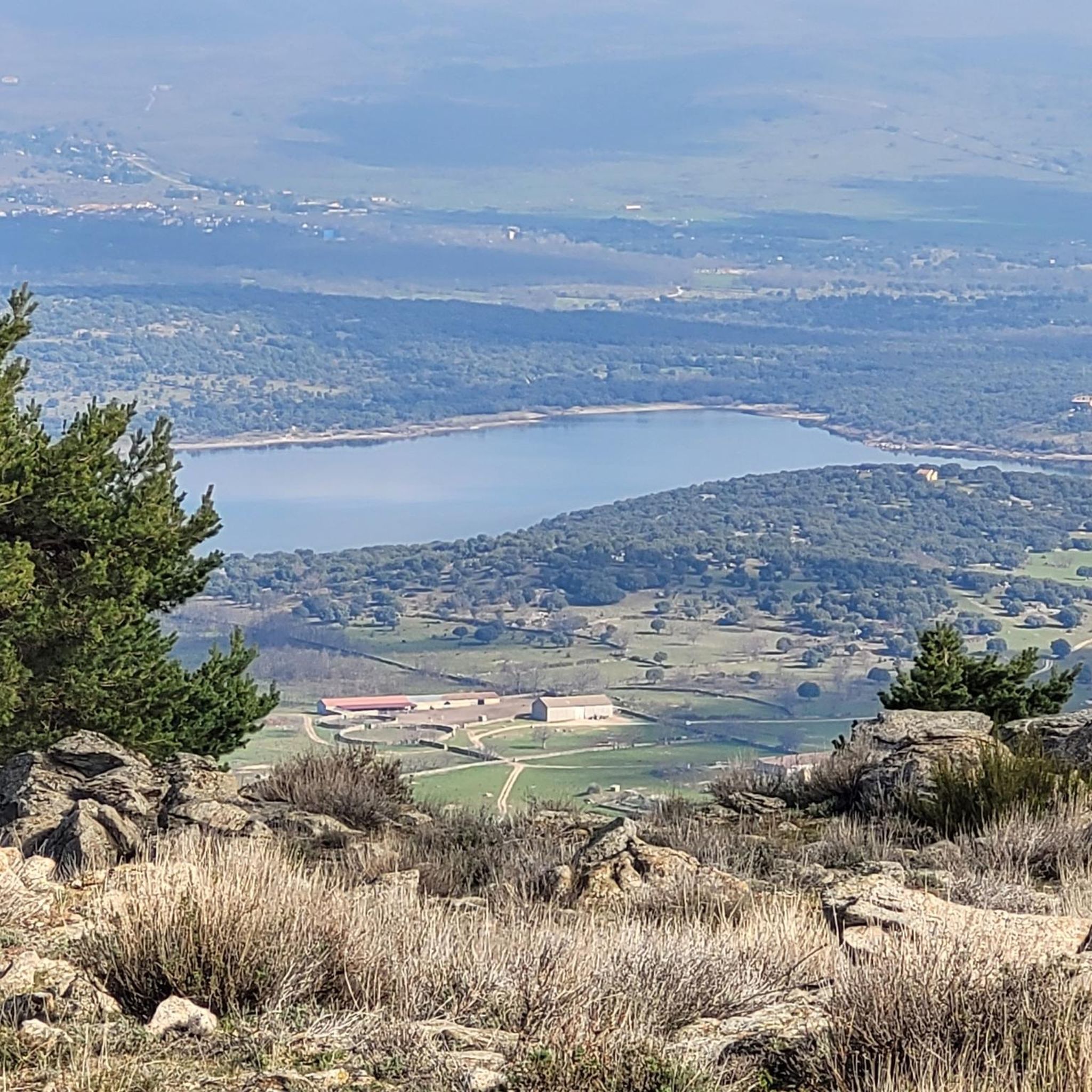
The hill that separates Canencia from Garganta de los Montes
0
0

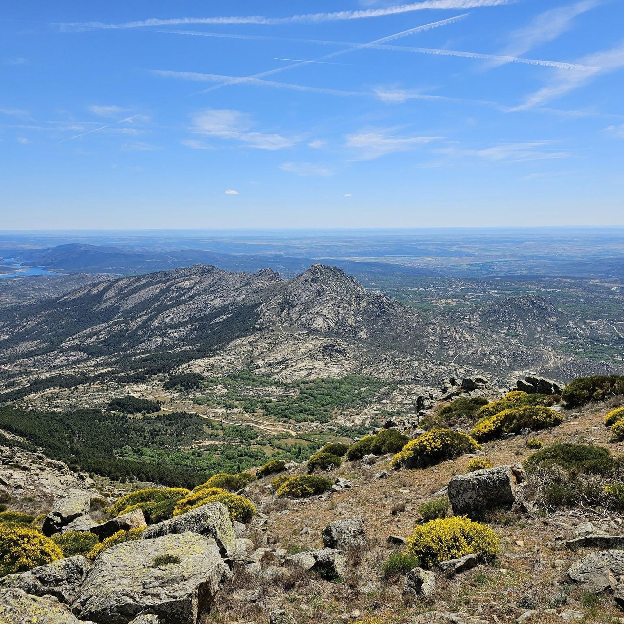
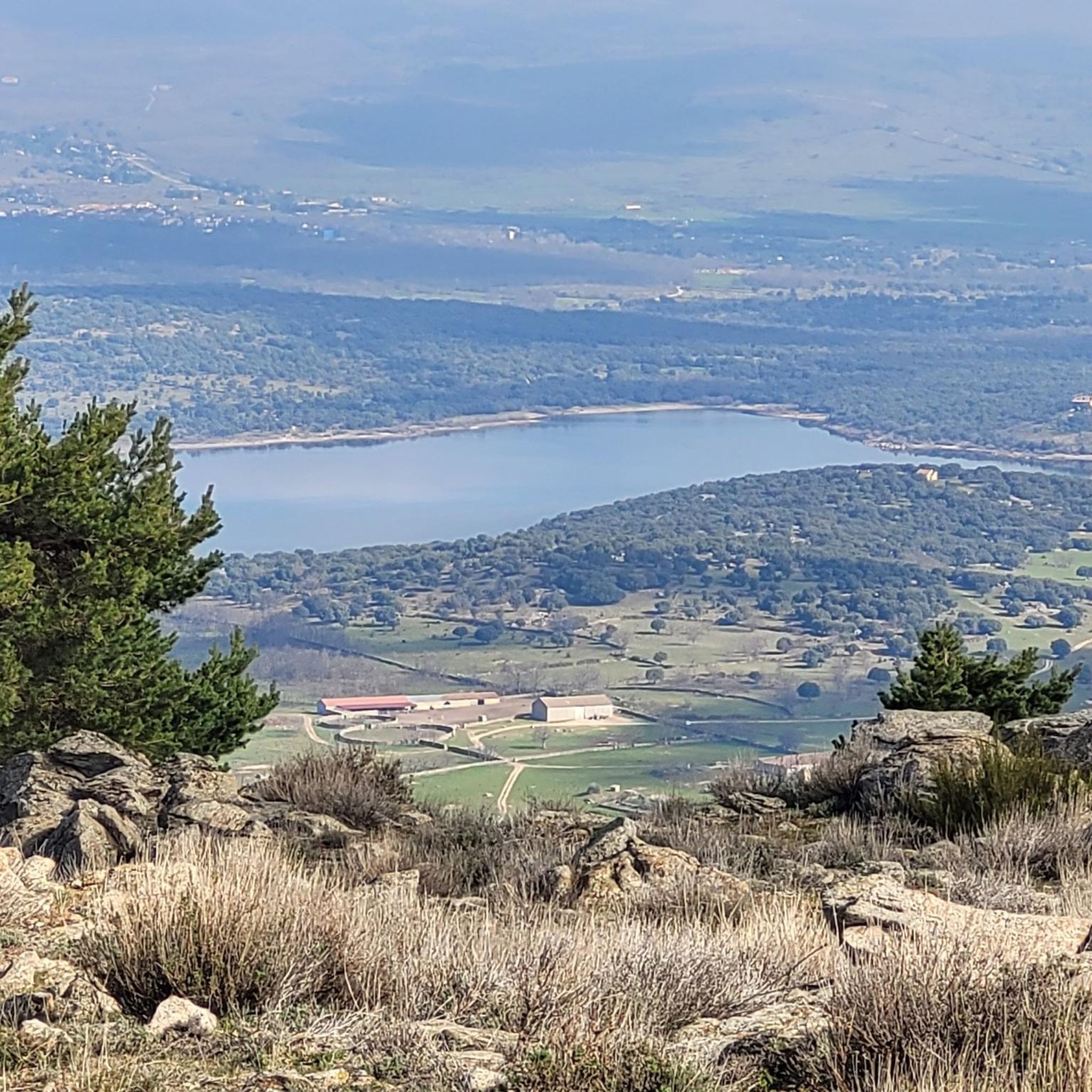
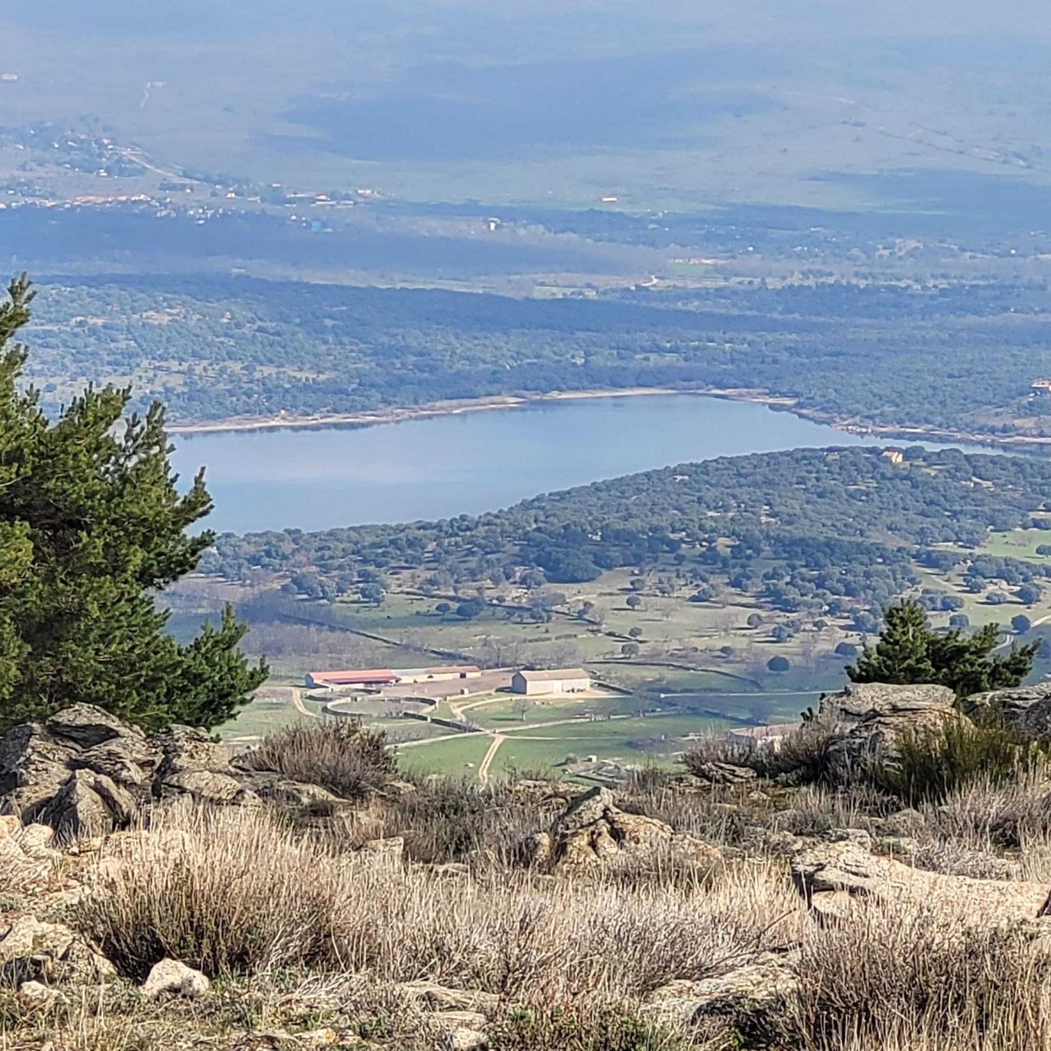
Wonderful views and surroundings
0
0

It is a very old bridge, Romanesque, over the Arroyo de Canencia, very close to the Town. The place is a recreation area with tables and seats to rest and talk.
1
0
The Senda de las Gariñas is a circular path 6.5 km long. The route crosses part of the forest mass known as the Gariñas forest and reaches the Puentes Viejas reservoir, where we find the riverside landscape. The forest is made up mostly of resin pine, although as we approach the banks of the reservoir we also find ash trees and Montpellier maples.
0
0
Frequently Asked Questions
How many running routes are available in Garganta De Los Montes?
There are nearly 100 running routes around Garganta De Los Montes, offering a wide variety of options for all skill levels. Most of these, about 70, are considered difficult, while 27 are moderate, and one is easy.
What kind of terrain can I expect on the jogging trails in Garganta De Los Montes?
The region offers diverse terrain for running, characterized by lush forests, green meadows, and imposing mountains. You'll find a mix of gentle riverside paths, rolling hills, and more challenging mountain ascents, including routes with panoramic views of the Sierra Norte of Madrid.
Are there any easy running routes for beginners or those looking for a relaxed jog?
While most routes are moderate to difficult, there is at least one easy running route available in Garganta De Los Montes. The area's dedicated 'Circuito de Footing' starting from the Sports Center and 'healthy circuits' in local parks also provide accessible options for a relaxed jog.
Can I find circular running routes in Garganta De Los Montes?
Yes, many of the running routes in Garganta De Los Montes are circular. For example, the difficult Cerro Perdigón loop from Lozoyuela and the moderate Cerro Perdigón Pass loop from Lozoyuela are popular circular options.
What are some scenic natural features or landmarks I can see while running in the area?
Garganta De Los Montes is rich in natural beauty. You can encounter stunning waterfalls like Chorrera de San Mamés, Cascada del Cancho, and Cancho Litero Waterfall. Other notable features include the Mojonavalle Forest, the Canencia Pass, and the impressive El Villar Reservoir and Gorge.
Are there any routes that lead to mountain summits or offer significant elevation gain?
Absolutely. The region is known for its imposing mountains. Routes like the difficult Puerto del Medio Celemín – Mondalindo Summit loop from Valdemanco will take you towards the Mondalindo Summit, offering challenging ascents and rewarding views.
What do other runners say about the trails in Garganta De Los Montes?
The running routes in Garganta De Los Montes are highly rated by the komoot community, with an average score of 4.6 stars from over 10 reviews. Runners often praise the varied terrain, the beautiful natural surroundings, and the extensive network of trails suitable for different abilities.
Are there any routes that follow rivers or pass by reservoirs?
Yes, the region is rich in water features. The Sendero PR-M-34 'Río Jarama' trail follows the Jarama River, offering spectacular panoramic views. Additionally, routes near the Lozoya River and reservoirs like Embalse El Atazar, Embalse de Riosequillo, and the Pinilla Reservoir provide tranquil and picturesque scenery.
What is the longest running route available in Garganta De Los Montes?
One of the longer and more challenging options is the Cerro Perdigón loop from Lozoyuela, which spans approximately 24.1 km (14.9 miles) and involves significant elevation gain.
Are there any routes that offer views of mountain passes?
Yes, several routes provide stunning views of the region's mountain passes. The Cerro Perdigón Pass loop from Lozoyuela specifically navigates through varied terrain with sections offering views of the mountain pass. The Canencia Pass is also noted for its incredible landscapes.
Can I find routes that are suitable for a longer, more challenging run?
For those seeking a more demanding experience, routes like the Puerto del Medio Celemín loop from Valdemanco, at 18.7 km (11.6 miles) with considerable elevation, provide an excellent challenge. The region has 70 difficult routes in total, ensuring plenty of options for experienced runners.
Are there any routes that explore the forests of Garganta De Los Montes?
Yes, the area is known for its lush forests. The Mojonavalle Forest, characterized by dense Scots pine, offers a beautiful environment for runs with fantastic views of the Canencia valley and parts of the Lozoya river basin. Many trails weave through these wooded areas.
Most popular routes around Garganta De Los Montes
Most popular attractions around Garganta De Los Montes

Get inspired with the komoot mobile app


Explore more
Browse the best Running Trails & Routes in other regions.
